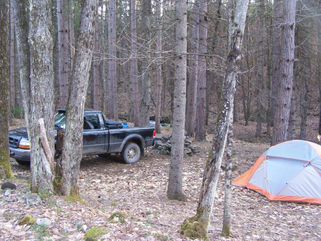
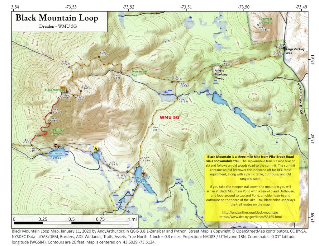
Search Results for: "Map:" Long Pond

Black Mountain Loop

 Black Mountain Loop

Black Mountain is a three mile hike from Pike Brook Road via a snowmobile trail. The snowmobile trail is a nice hike or ski and follows an old woods road to the summit. The summit contains an old firetower this is fenced off for DEC radio equipment, along with a picnic table, outhouse, and old ranger's cabin.

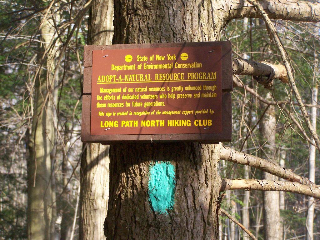
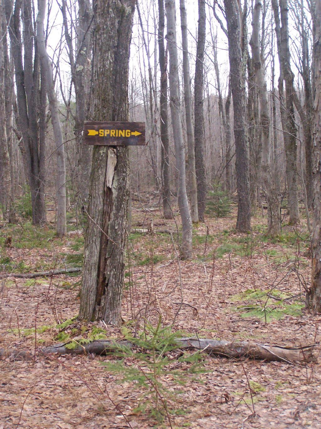
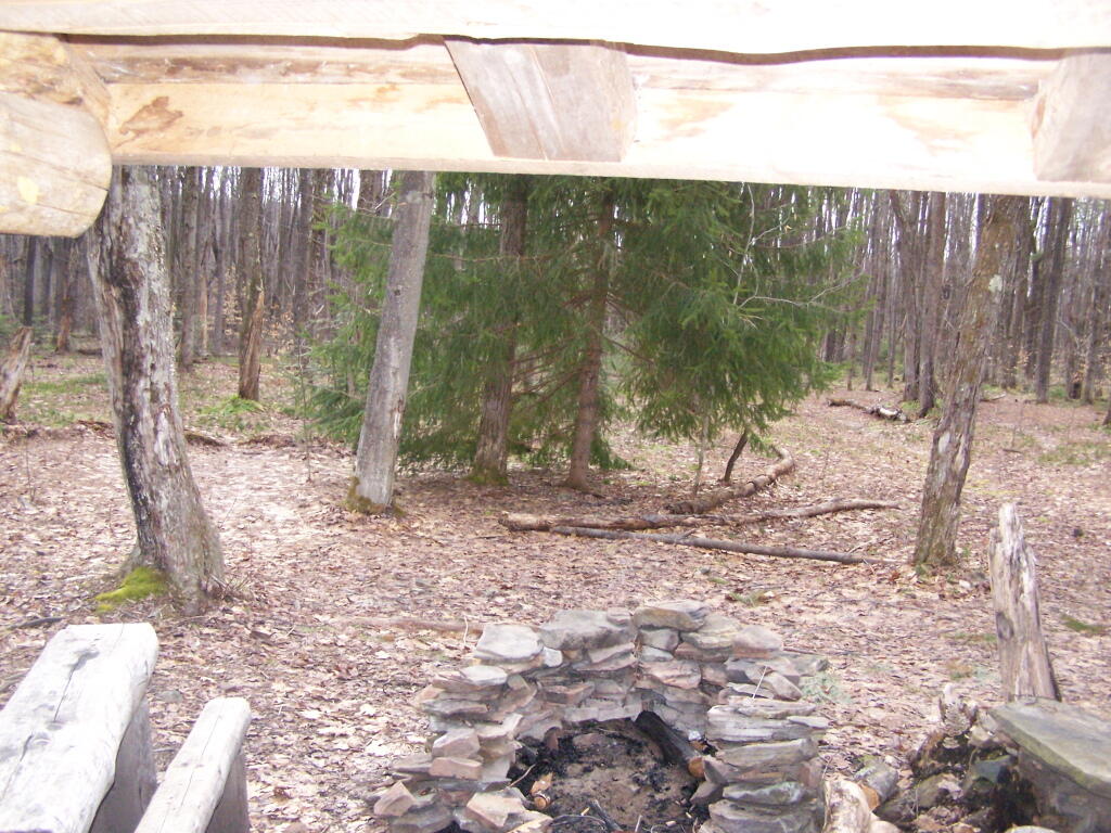
If you take the steeper trail down the mountain you will arrive at Black Mountain Pond with a Lean-To and Outhouse, and loop around to Lapland Pond, an older lean-to and outhouse on the shore of the lake. Trail blaze color underlays the trail routes on the map.

https://andyarthur.org/black-mountain

https://www.dec.ny.gov/lands/53165.html

Mongaup Pond State Campgrouund

Mongaup Pond State Campgrouund is located in north eastern Sullivan County. It is situated on a 120 acre lake, the largest body of water in the Catskill Park outside of the N.Y.C. Reservior system. This map shows both fee-campsites (dark brown) and free campsites (yellow) in the nearby vicinity, along with trails.  You can zoom in for details. More information about this campground: https://www.dec.ny.gov/outdoor/24484.html

Split Rock Wild Forest

The 3,700-acre Split Rock Wild Forest is part of the Adirondack Forest Preserve. Located in the eastern foothills of the Adirondack Mountains along the shore of Lake Champlain, it comprises the largest tract of undeveloped Lake Champlain shoreline in New York.

The wild forest is named for Split Rock Mountain, the main feature of the area. The Lake Champlain Palisades and Webb Royce Swamp are within its boundaries. The trail system provides many scenic views of Lake Champlain and the Green Mountains of Vermont. The Westport Boat Launch Site, located in the Hammond Pond Wild Forest, is the nearest location to launch on the lake and access the shoreline campsites on Split Rock Wild Forest.

https://www.dec.ny.gov/lands/50713.html

Hiking to Rossman Hill Lean-To

I’ve camped up at Burnt-Rossman State Forest a couple of dozen times. It’s one of my favorite places to go out truck camping, with it’s remote and quiet nature, and while I had known from maps that there was a lean-to up there, that one could hike to, I had never actually visited it. I had spent the previous night tent camping, and being up early, decided to check out the lean-to.

Campsite

The lean-to is located on the section of the Long Path that crosses Morey Road, just south of Rossman Hill Road, right next to the old cemetary. Alternatively, you can access the lean-to from Burnt Hill Road, just up the hill from where Duck Pond Road splits off. The lean-to is located about a 1/2 mile from either road. Regardless of which way you choose to go, it’s a nice level hike through marshes and old timber stands.

Through the Woods

And old woods roads…

Adopt a Natural Resource

As you past by the headwaters of the Cole Brook, which ultimately helps feed the Schoharie Creek.

Headwaters of Cole Brook

And the lean-to is really nice looking and only used occassionally, mostly by the locals.

Lean-To Side

And it’s nearby a spring, or at least a marshy area that never gets wet.

Spring

It’s definately some place I would like to stay some day.

 Looking Out the Lean-To

Here is a map:


View Rossman Hill Lean-To in a larger map