Search Results for: photo time to take down that campsite

Ashokan High Point

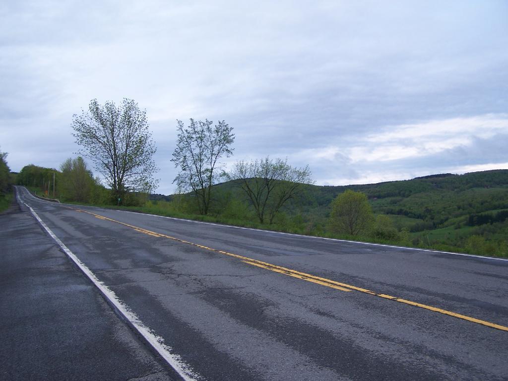
Ashokan High Point is a mountain overlooking West Shokan and the Ashokan Reservoir, however due to trees the views to the east are limited. It is reached from a parking lot off of Ulster County Route 42, a windy low-speed road that lacks guardrail protection.

I visited this after doing Red Hill Fire Tower in another section of the Sundown Wild Forest, some 15 miles to the west (30 miles via road).

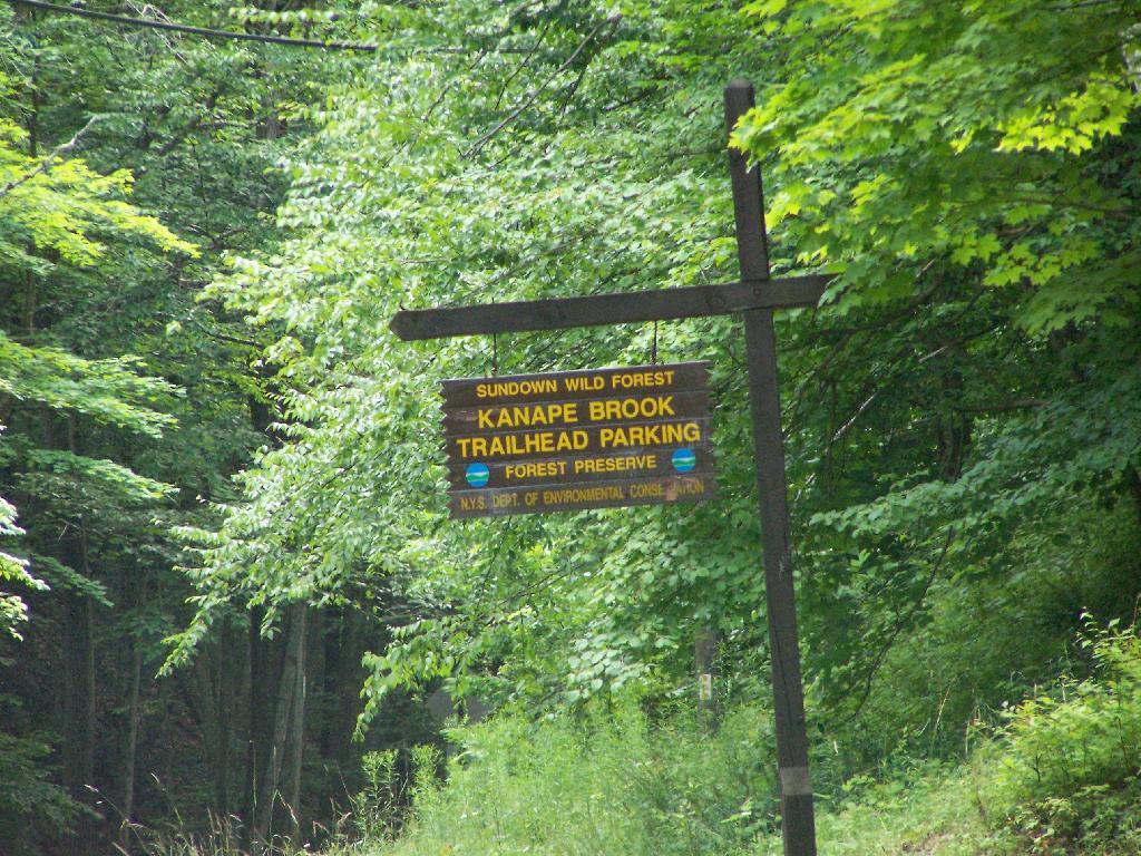
Trailhead Parking Lot Sign

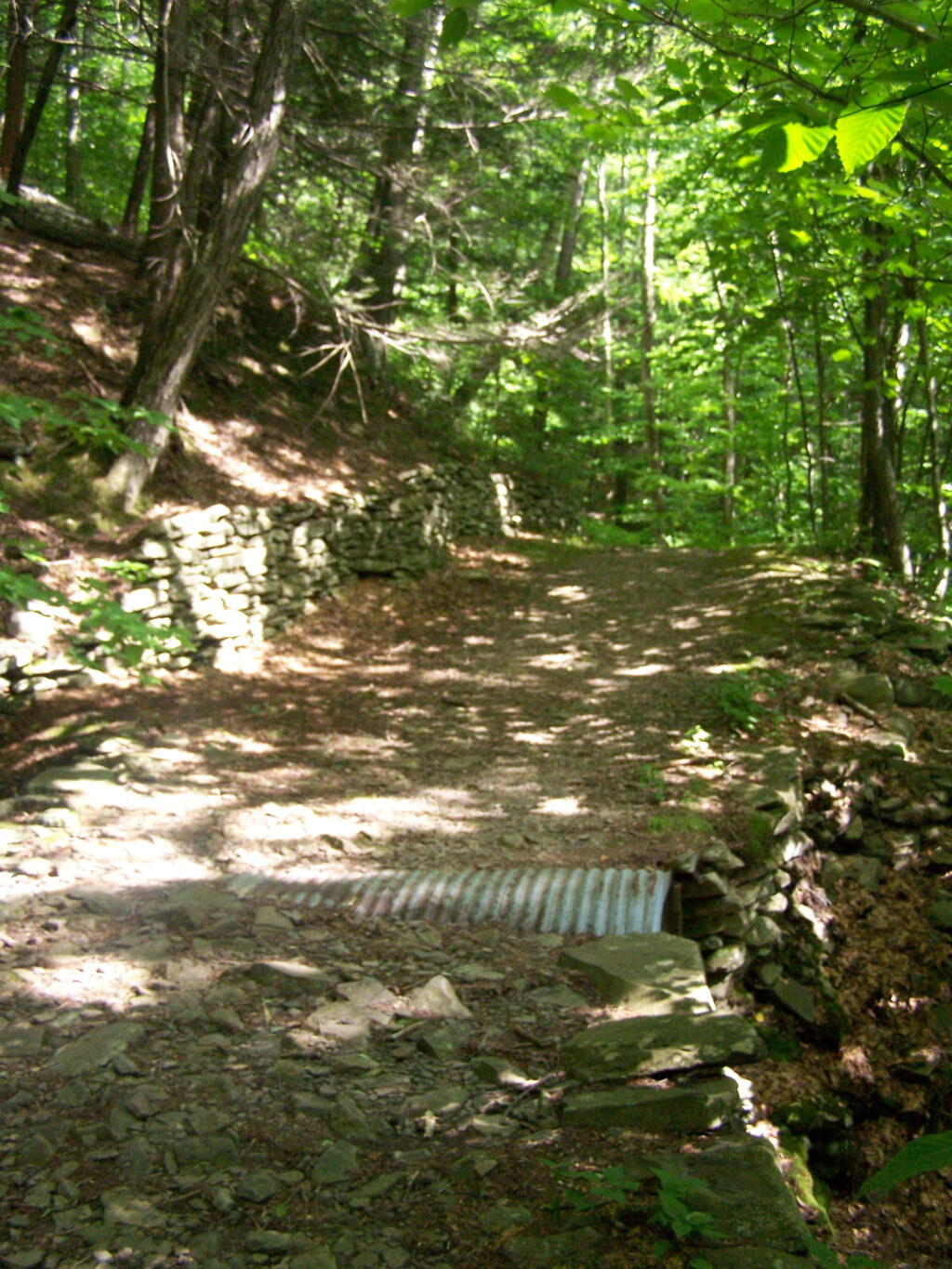
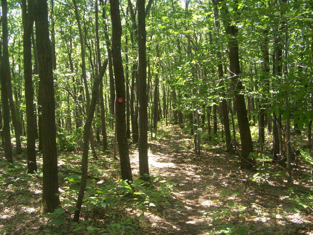
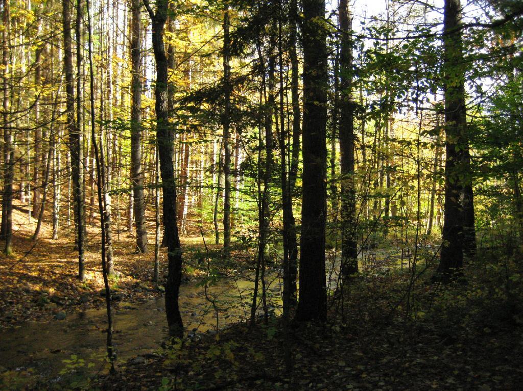
The first two miles up the trail is up an old woods road, that is relatively flat and a pleasurable walk along the Kanape Brook and in a deep clove between Ashokan High Point and Mombaccus Mountain.

Built Up Fieldstone Trails

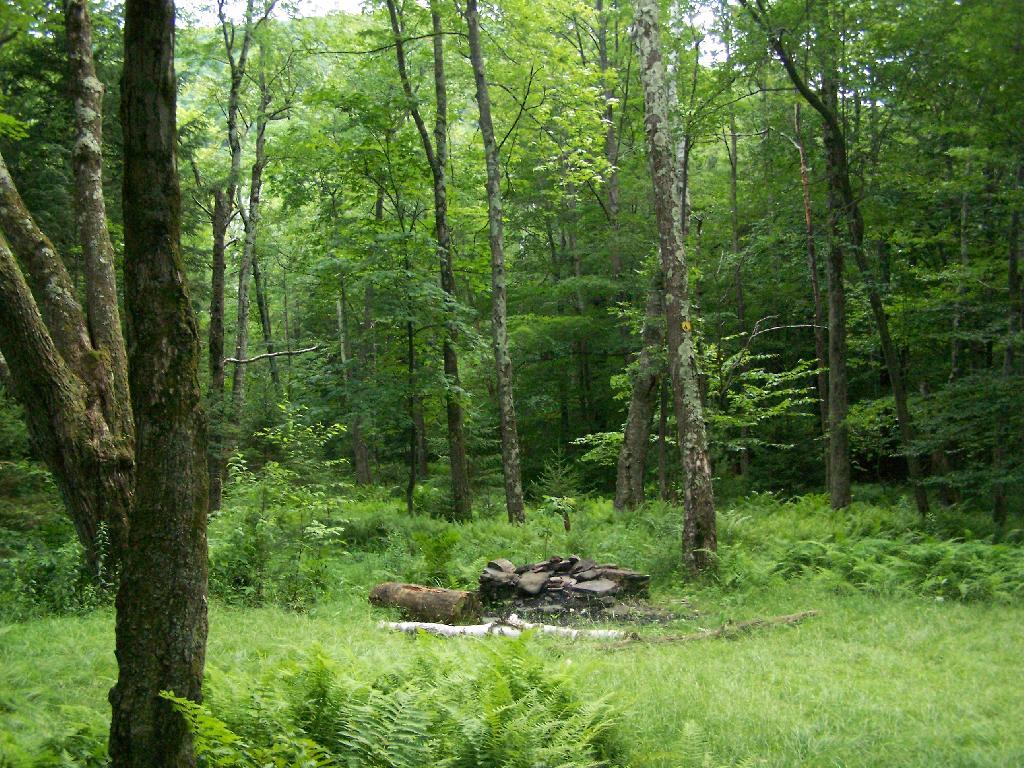
After you walk about a mile or maybe 45 minutes, you arrive at this nice little campsite right near the brook and the trail. It’s in a field, but has limited light for big portions of the day because the clove is so deep.

Campsite By Creek

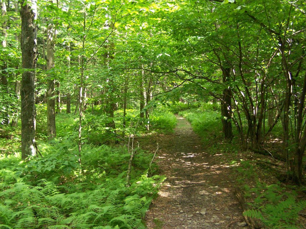
The trail seems a bit long at times, but this is the kind of delightful walking you experience. Markers are sparse along this section of trail, but if your following the old woods road it’s easier to follow.

Nice Easy Walking

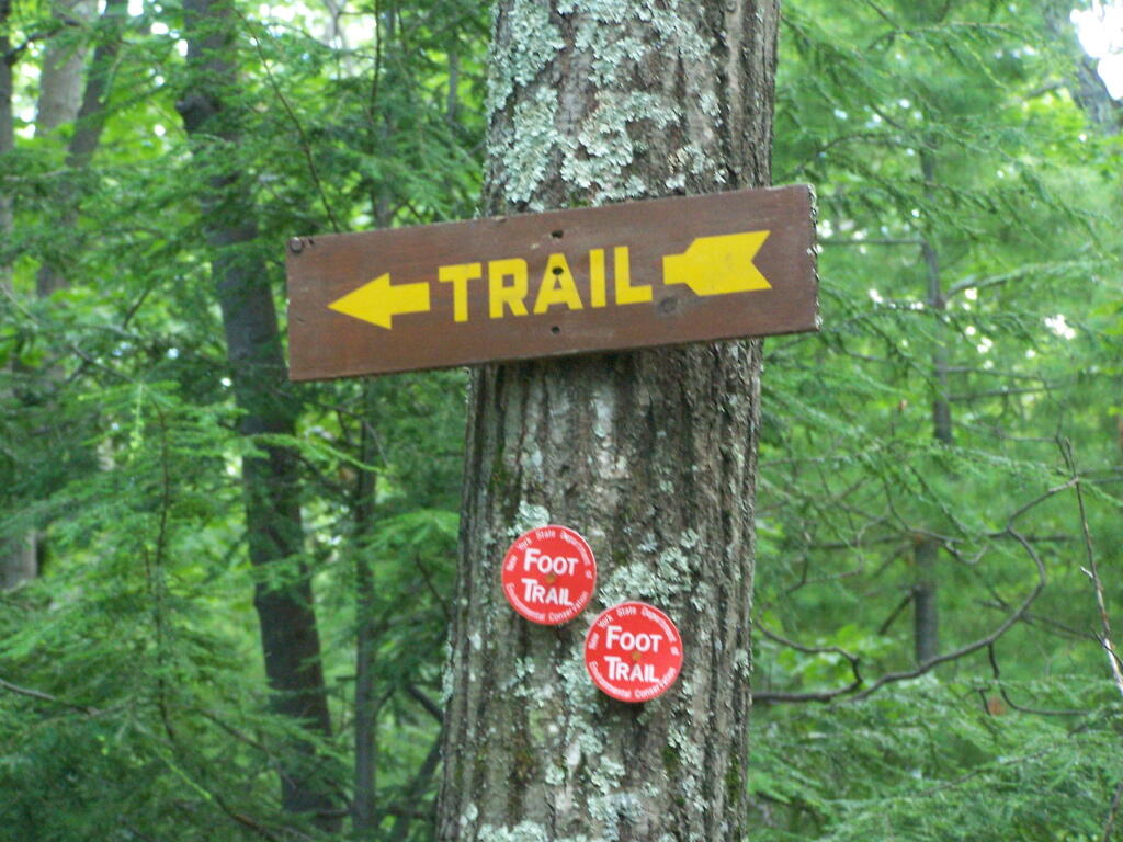
You then reach the sharp turn off the old woods road, to where the trail splits to the upper loop. As you can see, the turn is well marked.From here on out, you gain about 1,000 feet over the next one mile. It’s quite a bit steeper, but nothing is hands and knees hiking.

Don't Miss This Turn

As you start to do some serious climbing, you get partial views to the west.

Slight Views

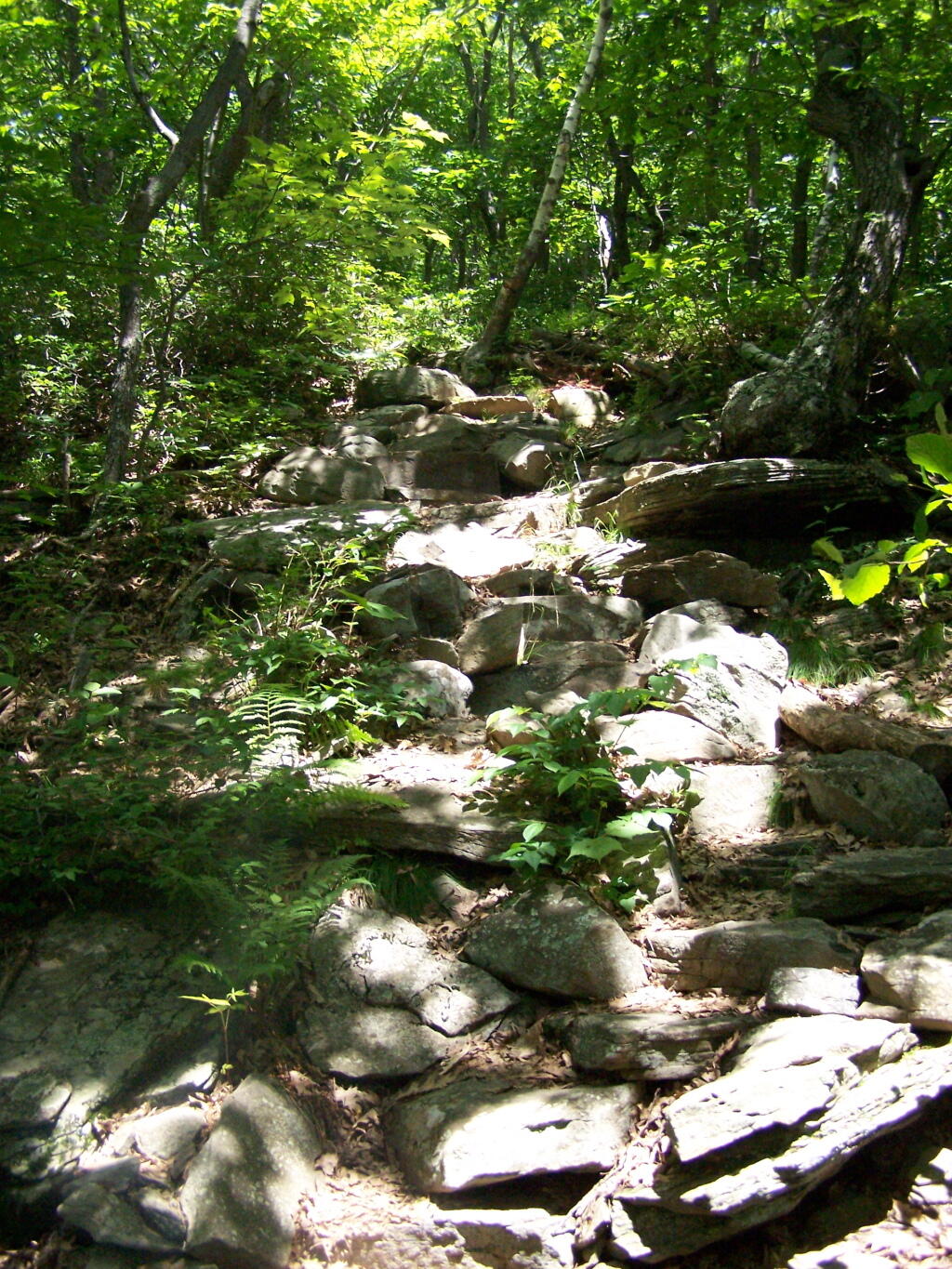
And the trail gets steeper for the next 1/2 mile. They have put in several rock steps to make the climb a little bit easier. Nothing that couldn’t be made by a child or a pet though, and no scary views/ladders.

Steep Part of the Trail

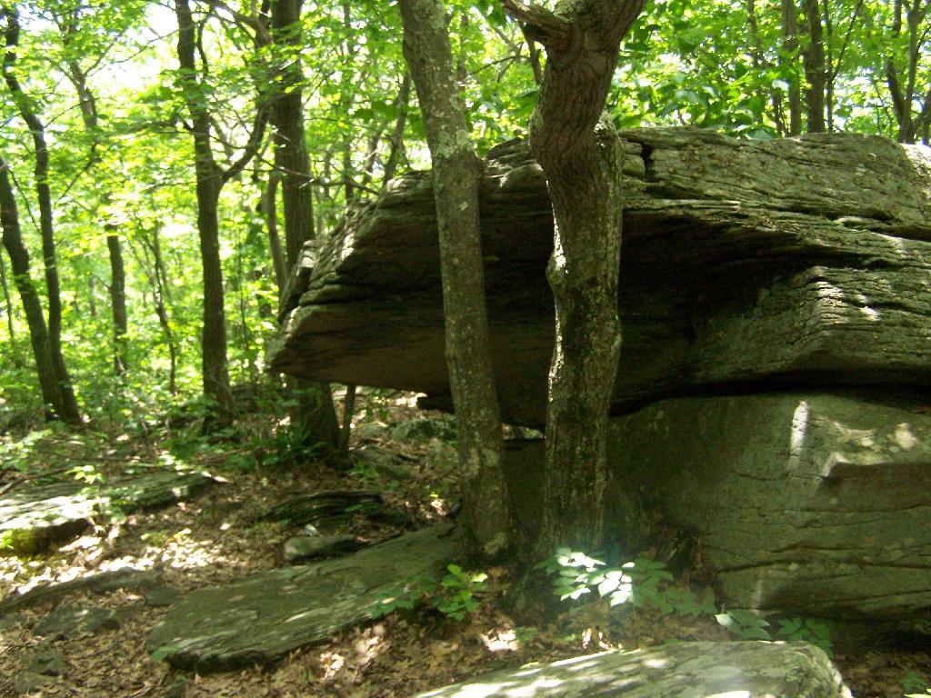
Once you are within a 1/4th mile to the top, you stop doing much climbing. If your caught in a storm, this rock offers some protection.

Neat Little Cave

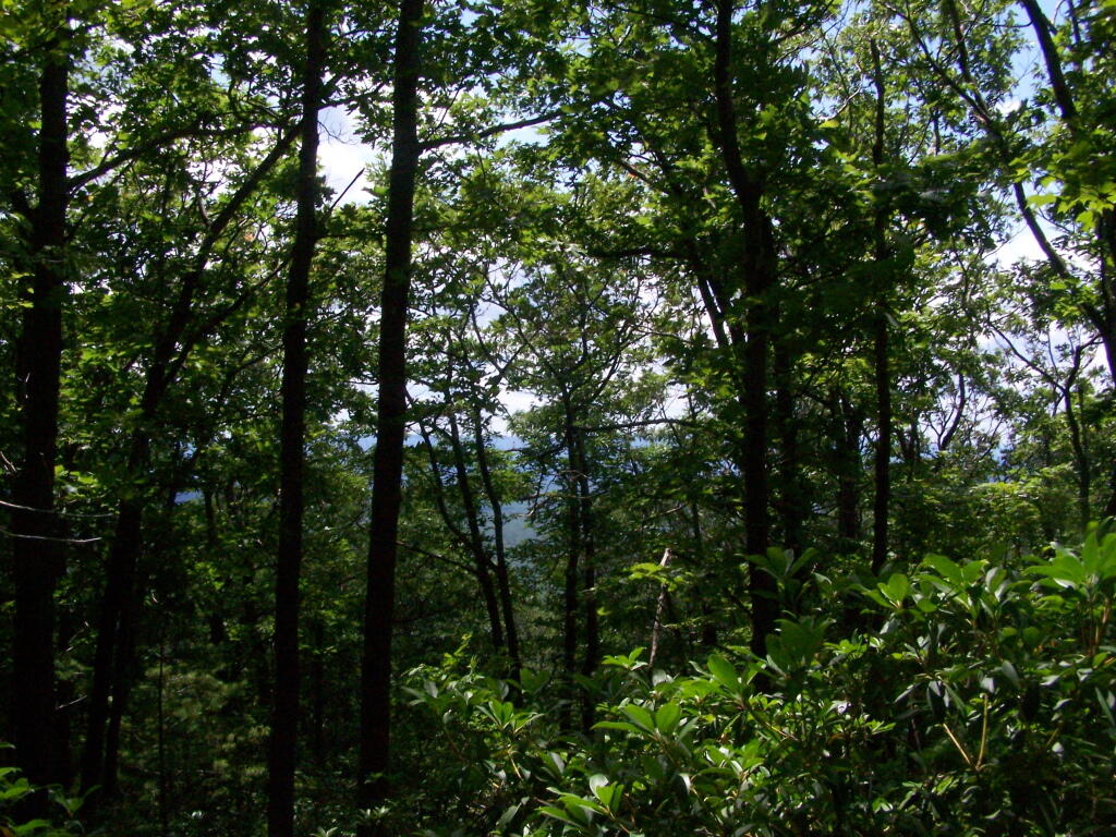
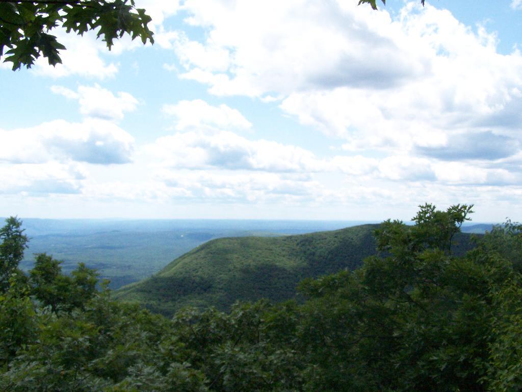
You’ve basically reached the top when you get this nice westerly view of Moccabus Mountain through the trees. You can stop over here, or continue to the top for better southernly views.

First Views

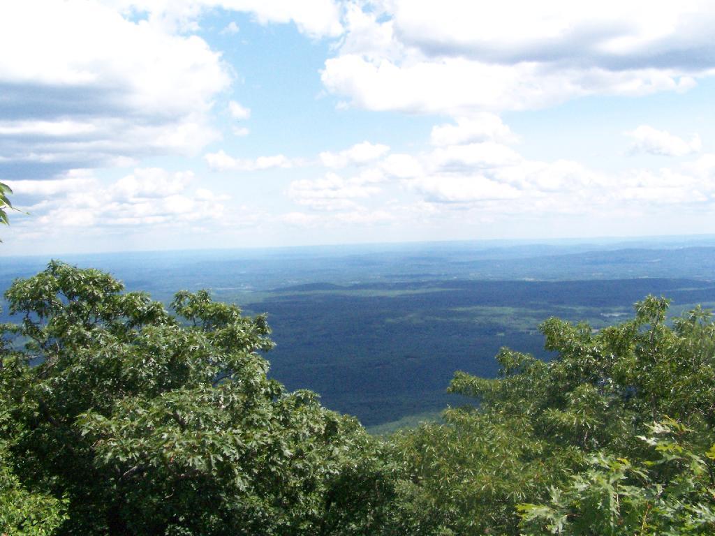
From the top, you have limited views looking south towards the Shawangunks, surrounded by trees. There supposedly is an unmarked trail you can take down to the “ledge” for 180 views. Without a good map, I decided not to proceed down to the ledge.

South of Ashokan High Point

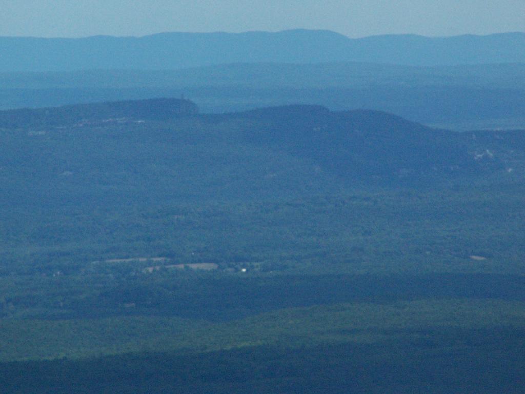
The Shawangunks, shrowed in haze. They are small compared to the Catskills but an interesting profile in the sky.

Shawangunks

Along the top there is a trail that runs through a 1/2 mile of Blueberry fields. I was foruntate to be there when they where in season.

Saturday Evening Up at Camp

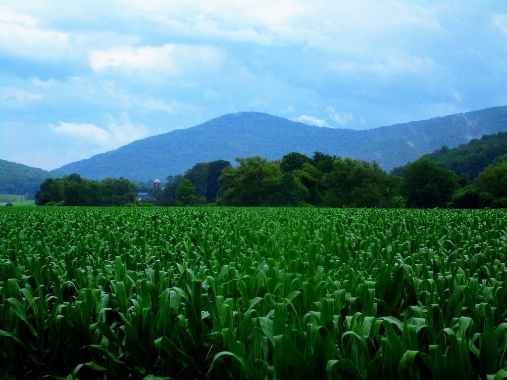
Clearing outside of South Kortwright

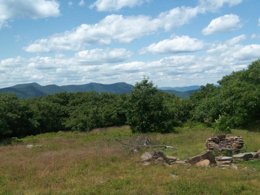
On the other side of the mountain, there is an informal campsite with fantastic views of the High Peaks Region of the Catskills.

Campsite with Views

The trail down the backside of the mountain is without views, and is less steep but much longer, and winds up and down a few ridges. Nothing really worth visiting — go back the way you came.

Trail Down Backside of Mountain

You return back to where the loop splits, and return back the trail you took up. It’s a 7.5 mile hike total, but a relatively easy one that you can do in a few hours in an afternoon, and not be totally exhausted.


View Hikes of 2009 in a larger map
Sugar Hill Firetower & State Horse Camp

The final night of my Finger Lakes Trip I spent the night up at Sugar Hill State Forest, a series of 9,500 acres of state land, popular for horse owners. This parcel has two main camping areas, about 90 miles of horse trails, 3 lean-tos geared to equine users, and one nice new lean-to that is accessible solely by foot.

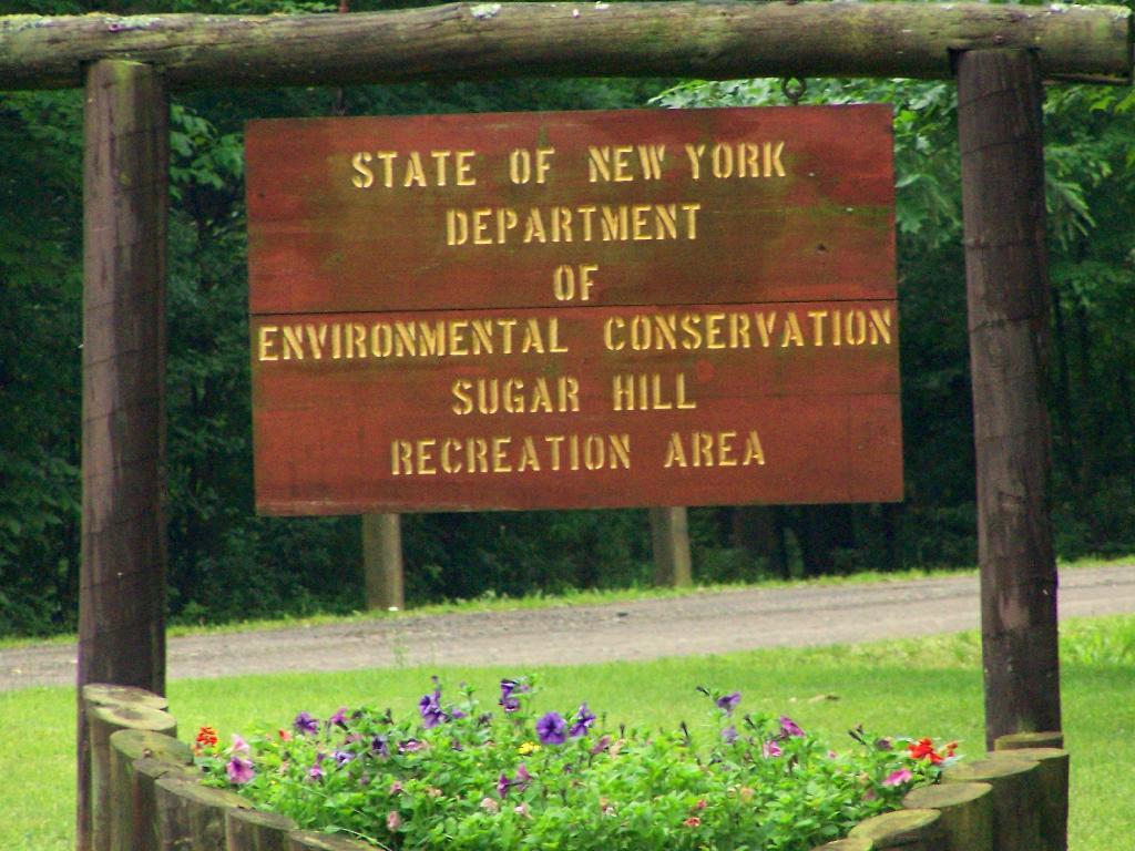
Sugar Hill Recreation Area

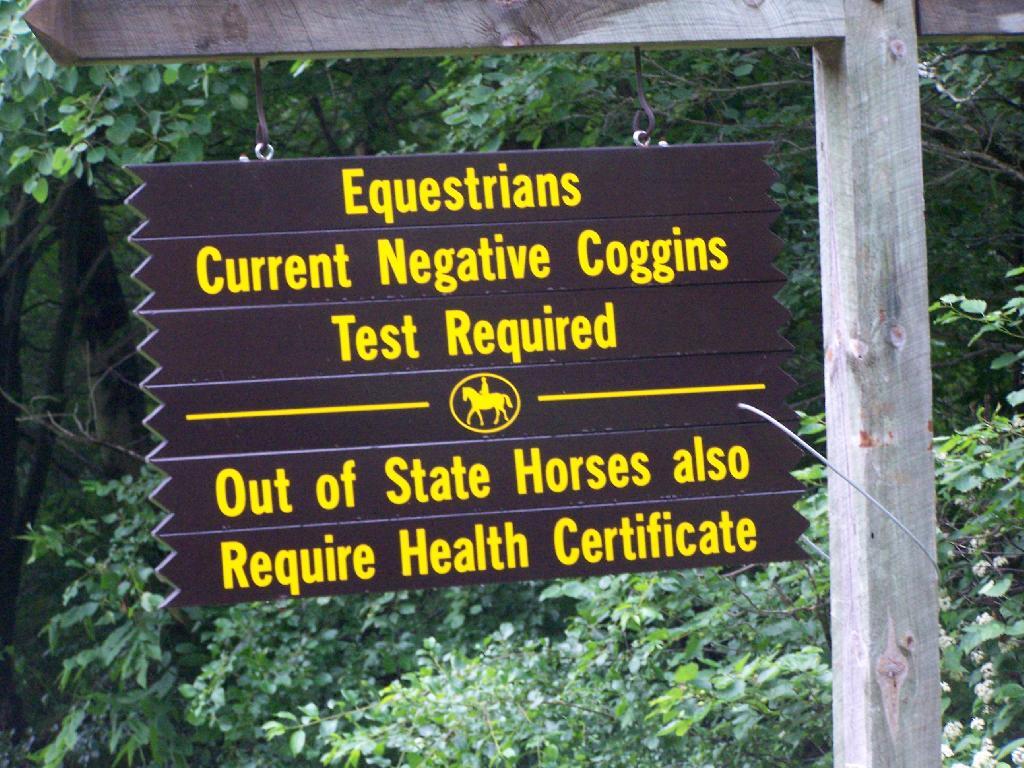
You don’t see signs like this located in downtown Albany.

Negative Coggins Test

This is all conveniently located about 15 miles from Watkins Glen, at the headwaters of Townsend and Glen Creeks that make up the water that flows through the Glen.

While I didn’t spend a lot of time going around and grabbing pictures of the Horse Camp, I did take some pictures and have some from when I visited this area during the previous summer. This was in part because the last day was rather gray, with heavy rain at times, and I was frankly quite tired.

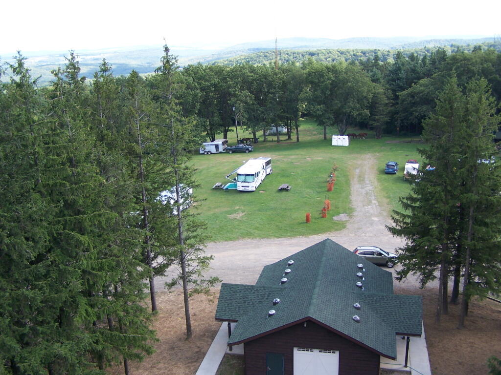
There also is a firetower at the main horse camp area, which is filled with RVs, horse trailers, and horses during the summer weekends. This is shown below:


View Hikes of 2009 in a larger map
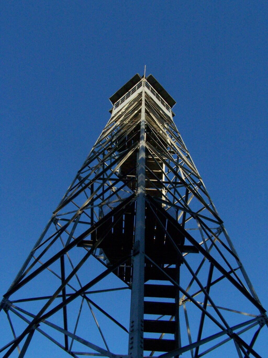
Here is the fire tower:

Firetower

Here is the main horse camp, with new bathroom facilities including flush toilets. This was installed two years ago due to the popularity of the horse camp and contamination concerns by the overuse of the conventional pit privy.

Six Nations Horse Camp

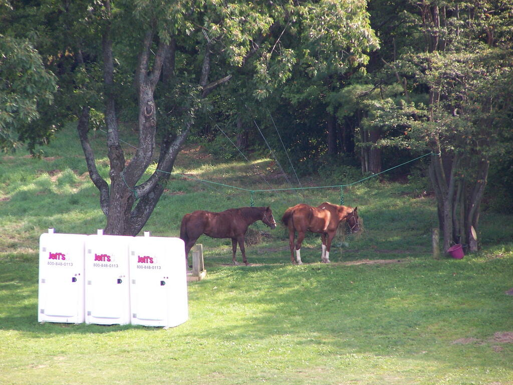
Horses tied up. I took this last year, when they where still building the replacement bathroom for the pit privy, and therefore the porta-potties.

Horseys

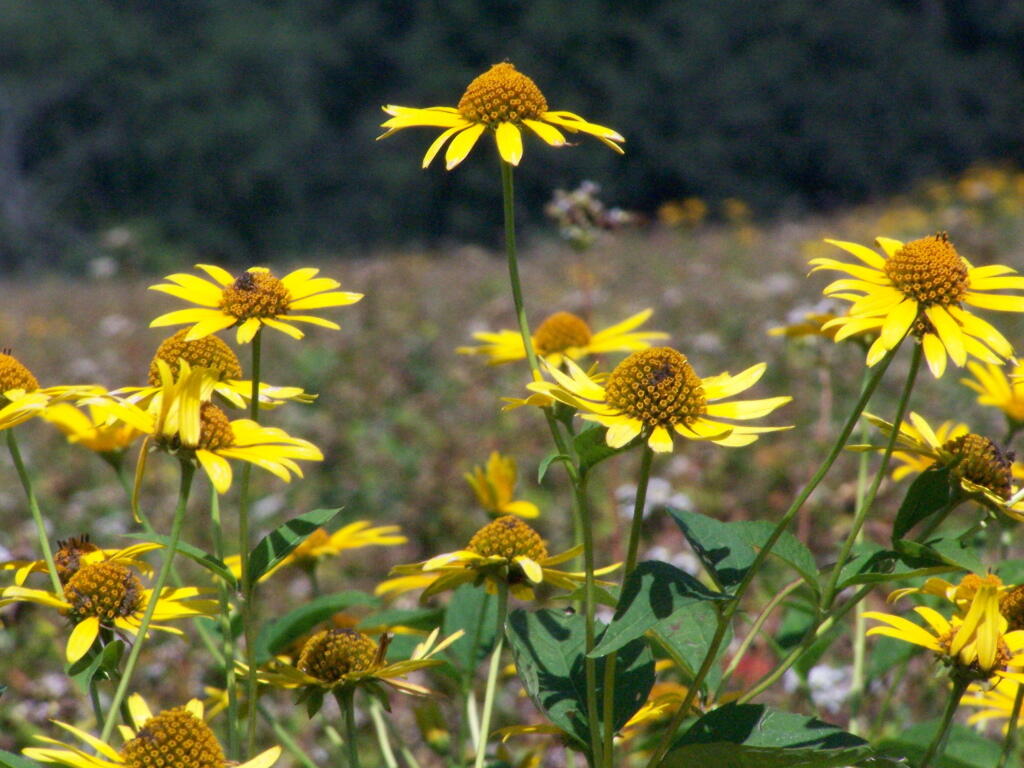
Some wildflowers noticed along a short walk…

Flowers

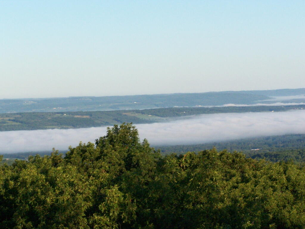
A bed of fog over Kueka Lake from the Firetower from last year.

Bed of Fog

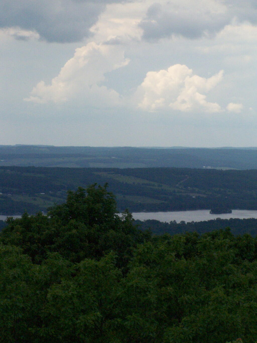
Thunder clouds approaching from the west from the Firetower. It was not of course thundering when I was on the tower. I’m not that stupid.

Thunderheads

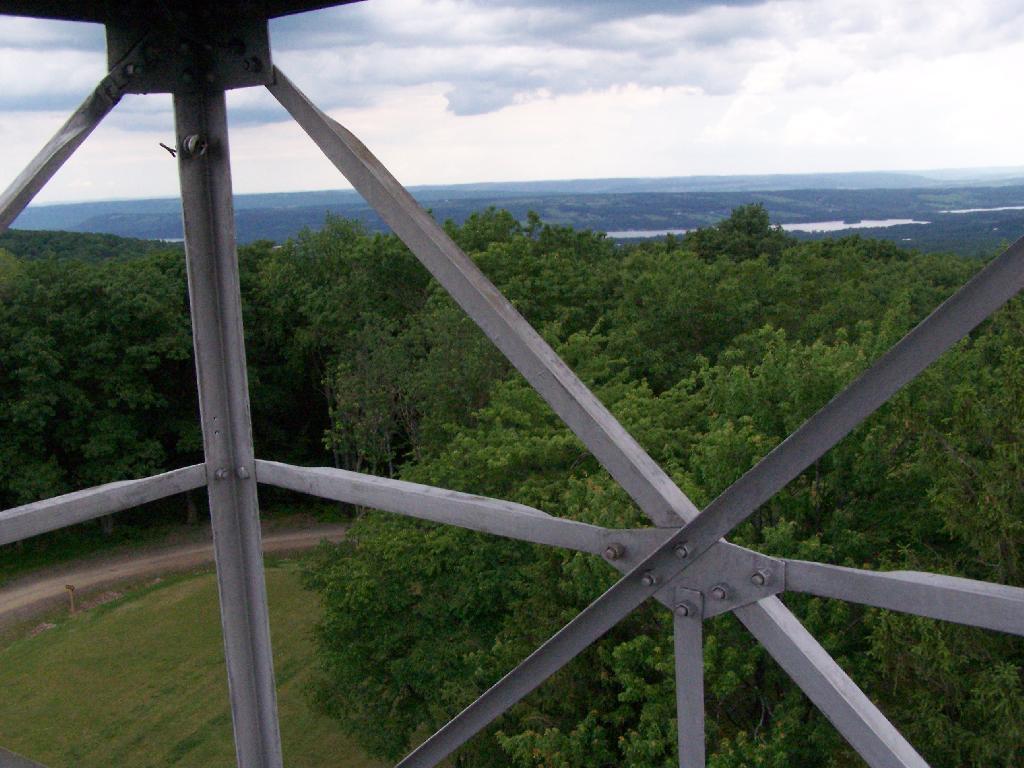
Descending the firetower, looking east towards Seneca Lake.

Descending Firetower

Rather then camping at the main horse camp, where there where several people set up with horses, I decided to camp at the lower area, which is much less popular, but as nice if not nicer.

Horse Tiedowns

They still have lots of things for the horse owner to use.

Horse Stables

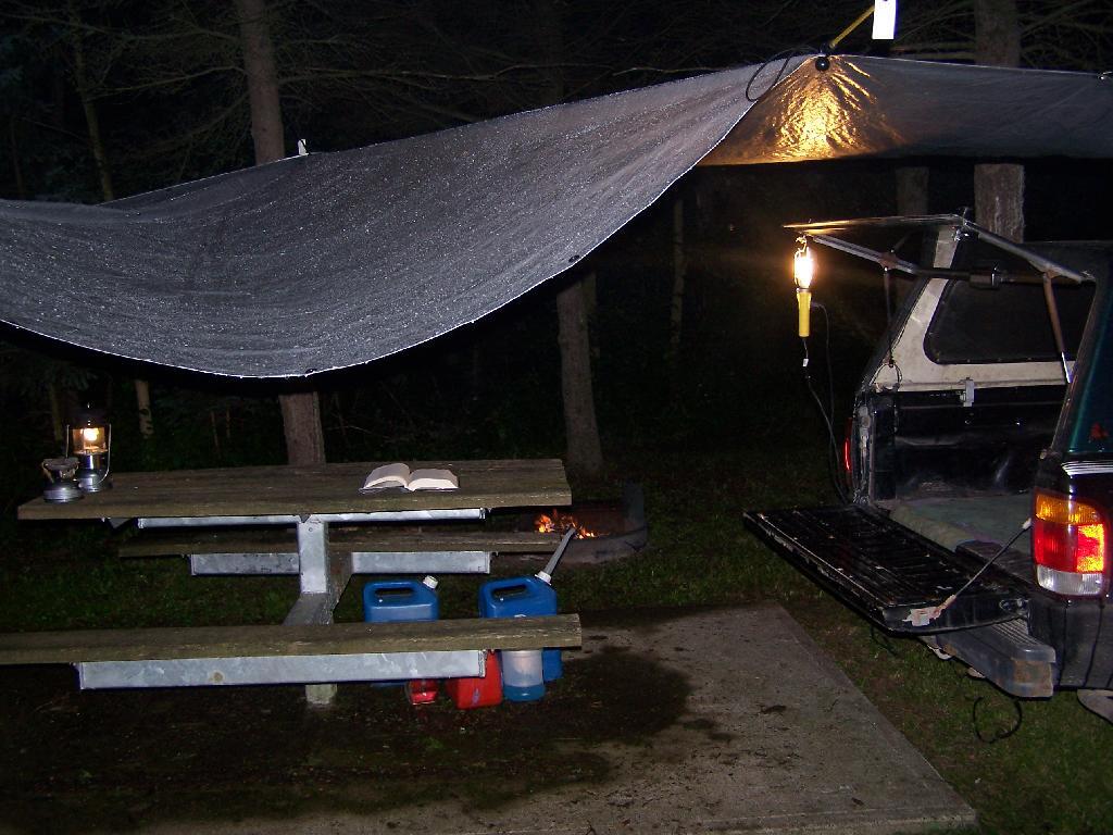
In the evening it started to rain. It didn’t bother me much, as I had the tarp over my truck and the picnic table, and thanks to the cement base under the table, there was no mud or muck to get kicked up.

Reading in the Rain

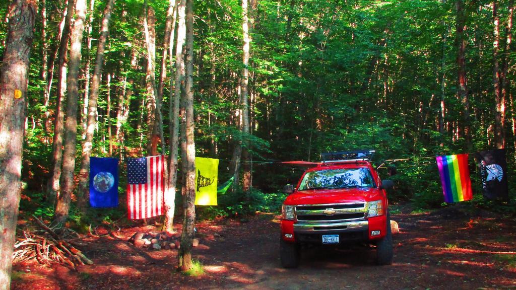
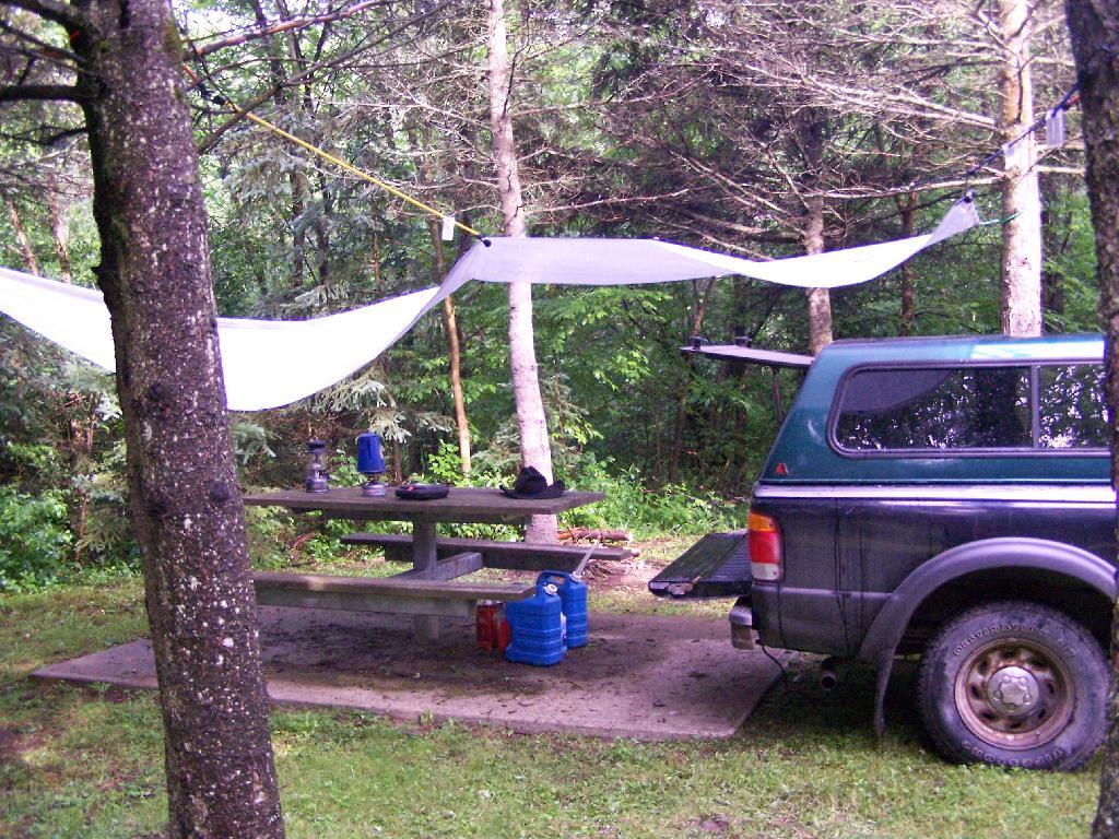
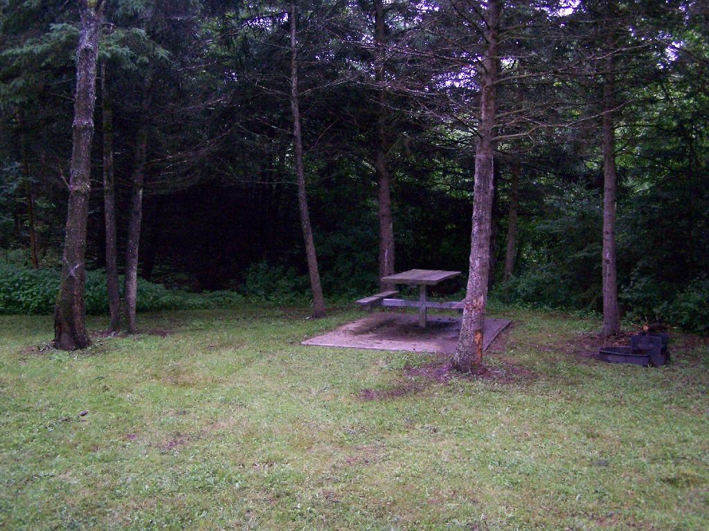
This was my camping arrangements, as seen in the morning. Not bad, especially for a free campsite.

Camping

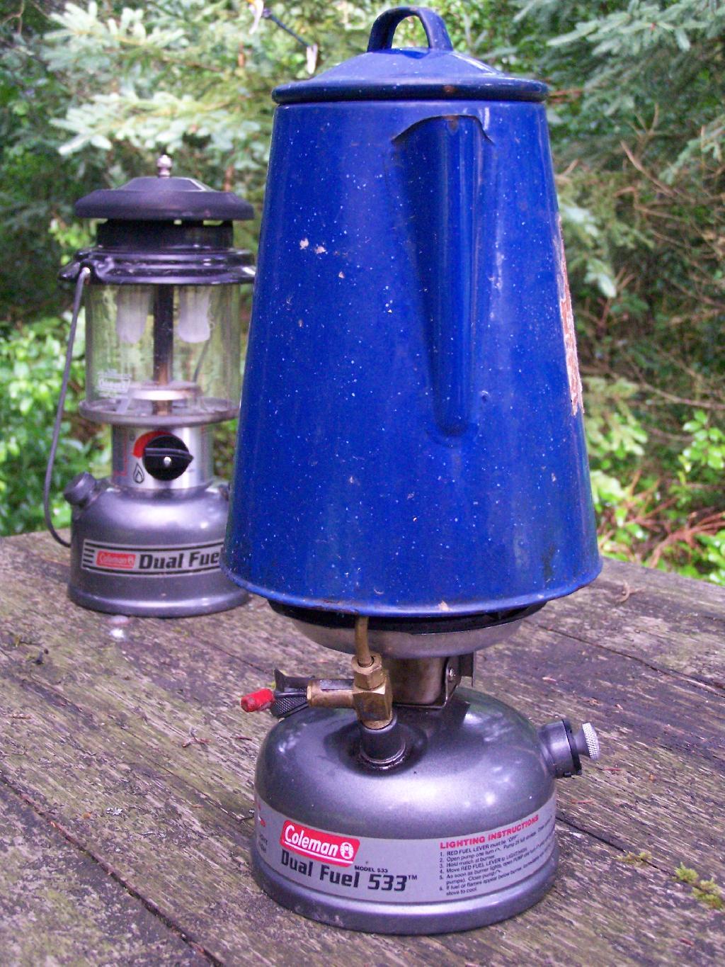
Making some coffee in the morning. I drank an incredible amount of coffee during this week.

Camp Stove

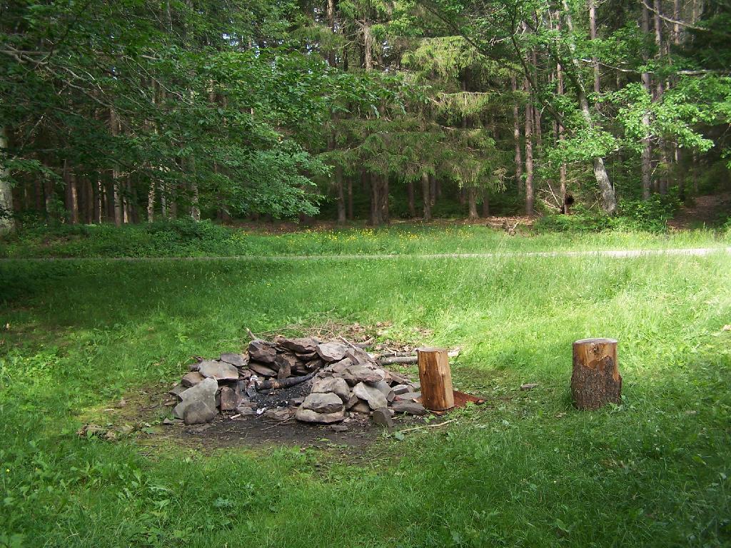
Where I camped, after everything was all packed on up.

Site

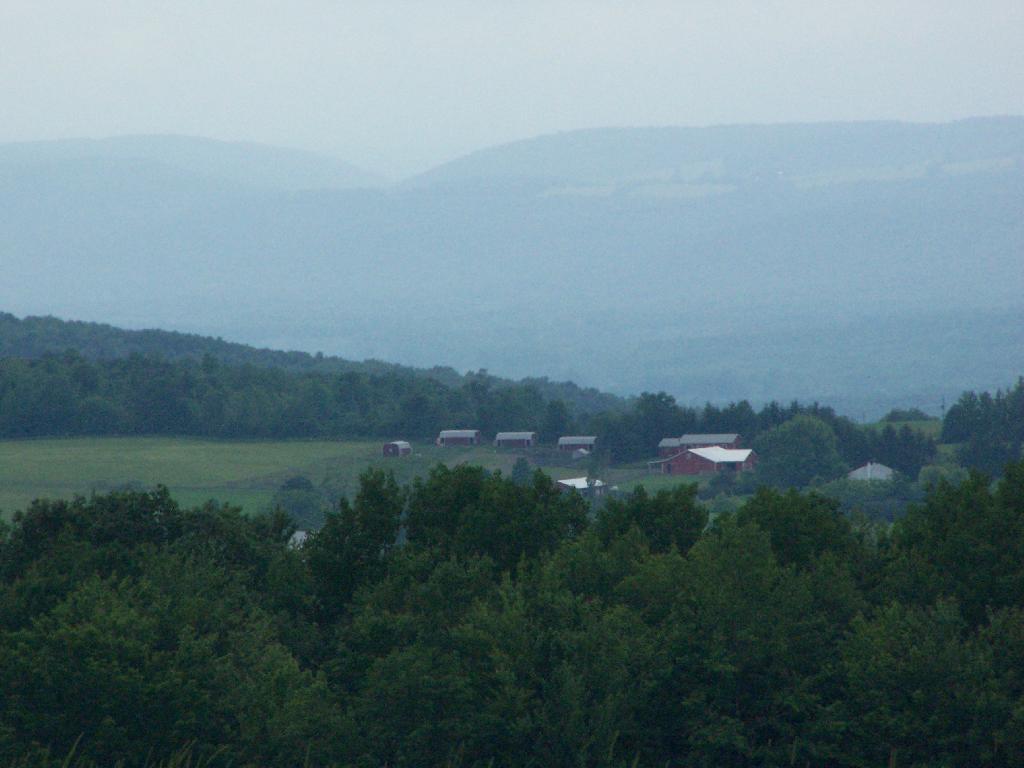
Farms from off Six Nations Hill in the rain, looking south.

Farm

Maps from the DEC of Six Nations Horse Camp:

I drove the following route on Day 3 of the Finger Lakes Trip, in yellow. The loop is where the firetower and main horse camp is. Following the green line due south, takes you to the southern horse camp where I spent the night camping.


View Finger Lakes Trip June 2009 in a larger map
Day 4 I visited Corning and checked out Big Flats, which is now unfortunately little more then suburbanite crap. Corning was kind of neat, except that it started to pour when was down there. I then drove down to Sayre, PA, and through northern Pennsylvania so I could pick up some fireworks for the forth of July. I probably could have come right back into the state, but I certainly didn’t want to be followed by undercover cops, with my fireworks (yes, I’m a little paranoid).

Rural Pennsylvania was quite pretty, except for the heavy rain and the fact that Route 706 was so damn narrow and twisty. When I got back to NY, I really appreciated how much better our state’s roads really are. I drove back via I-88, occasionally hopping back on Route 7 for some additional variety to my trip. I got home around 4 PM.


View Finger Lakes Trip June 2009 in a larger map
The green line follows my return trip. It took about 6 1/2 hours, including stops in Corning and other places.

Camping at Betty Brook

I left work about 3:30 on Friday to go camping out at Burnt Rossman State Forest. It was a nice evening out the first night, warm and comfortable. I sat up under the moonlight until 1 AM, listening to the radio, reading, and watching the flames flicker in the campfire. I had my florescent lamp hooked up to my pickup, and the music going loud. But there was nobody around, so it didn’t really matter.

Campsite at Duck Pond

The weather was not as clear on Saturday. I went for drive out west, ending up outside of Cooperstown in a very rural, but mountainous area called the Burlington Flats off Route 51. Interesting little area, that reminded much of the other portions of the Central Leatherstocking regions, particularly a similiar area along US 20 in the area of Winsfield. Beautiful country for sure, but without much economic activity.

Betty Brook

When I returned back to Burnt-Rossman State Forest I went for a little hike wandering through the woods. I ended up visiting a campsite I had previously stayed at. Apparently I passed by some turkey hunters, and didn’t realize it, until I started back and heard them shooting. I decided to take the road mostly back for my own safety.

It started to rain about 7 PM, and it eventually put out the campfire. I sat under the cap of my pickup, with a book and read until 11 PM at night, when I decided it was time for lights out. It was a noisy night, sleeping under the fiberglass cap with the rain pounding down on it. The next morning I was damp and tired, so I left around 6 AM, got on I-88 and was home by 7 AM. It was a nice experience.

 Leaving Summit

Here is a map of where I hiked:
View View Hike at Betty Brook in a larger map