Cross


Rising 3,214 feet above the village of Stamford, New York—long hailed as the “Queen of the Catskills”—Mount Utsayantha offers one of the most accessible and storied peaks in the region. Whether you are a dedicated hiker or someone looking for a scenic drive, this village park is a local treasure that blends tragic folklore with panoramic modern-day views.
The mountain’s history is rooted in a poignant Native American legend. It is named after Utsayantha, a maiden of the Lenape or Mohican tribe. Folklore says she tragically drowned herself in the nearby lake after her father, Chief Ubiwacha, killed her husband and child. Visitors can still find a granite marker along the summit road, which legend claims marks her final resting place.
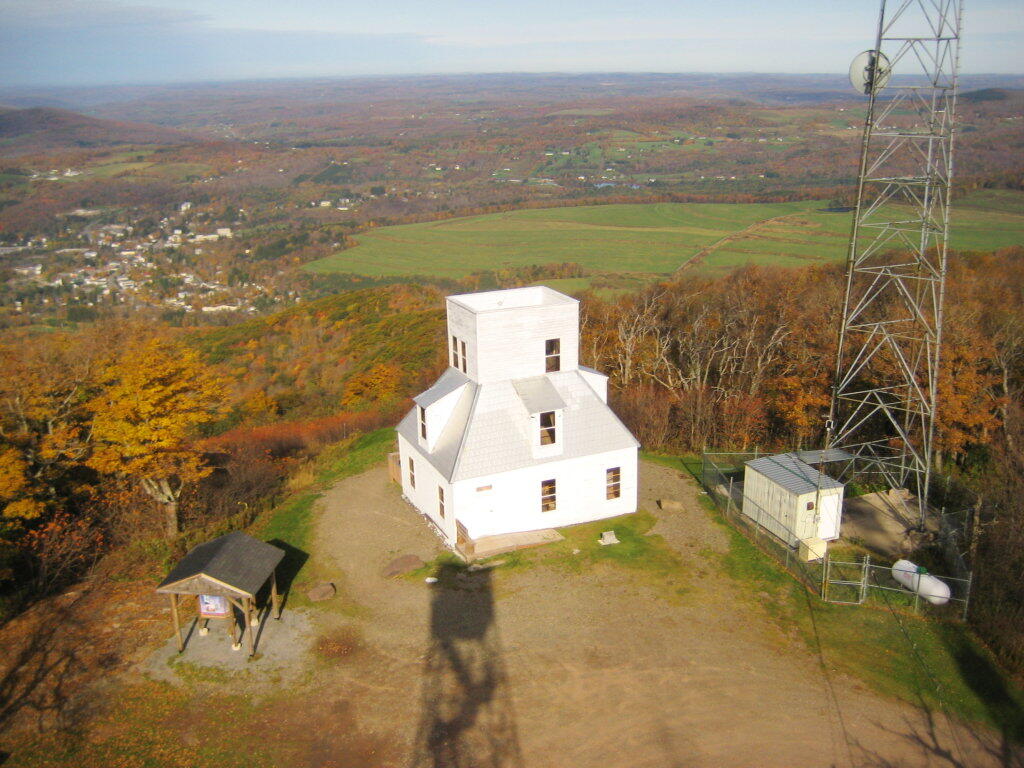
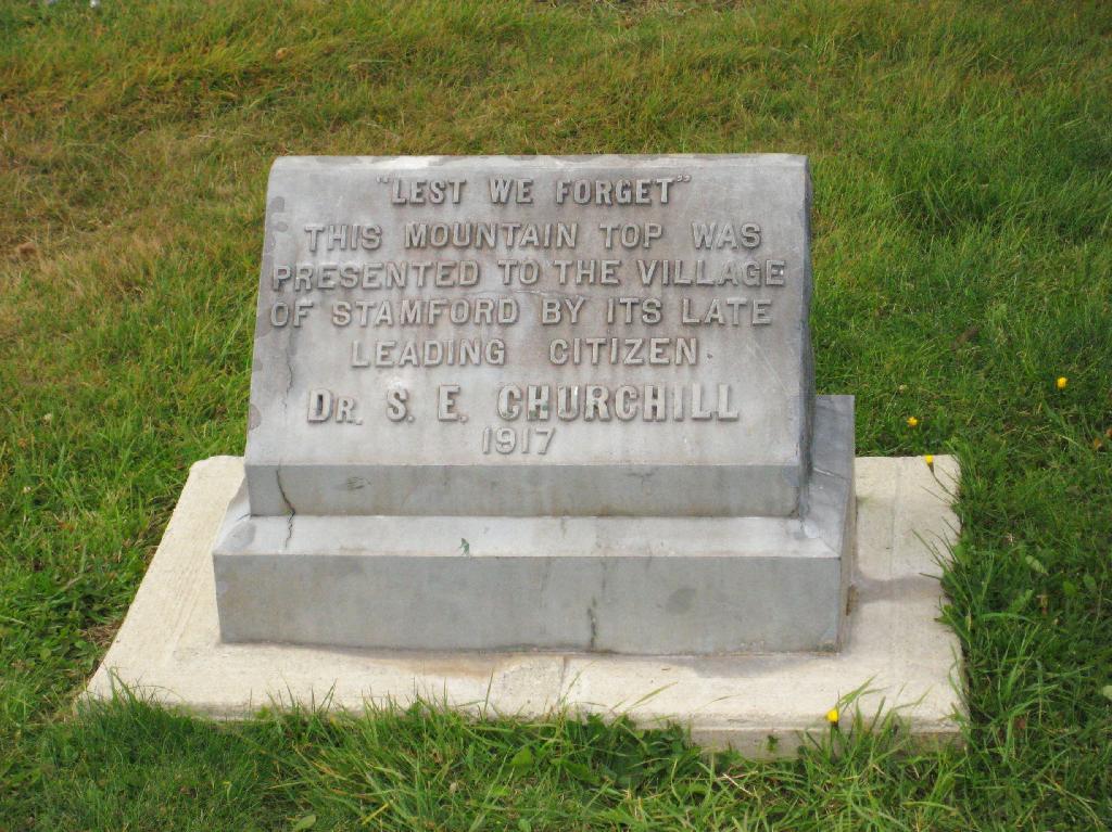
In the late 19th century, the mountain became a hub for the “hotel age” of tourism. Colonel Ruliff W. Rullifson recognized its potential in 1882, building the first road and observation tower. Later, Dr. Stephen E. Churchill purchased the land and bequeathed it to the village of Stamford in 1917, ensuring it remained a public park for generations to enjoy.

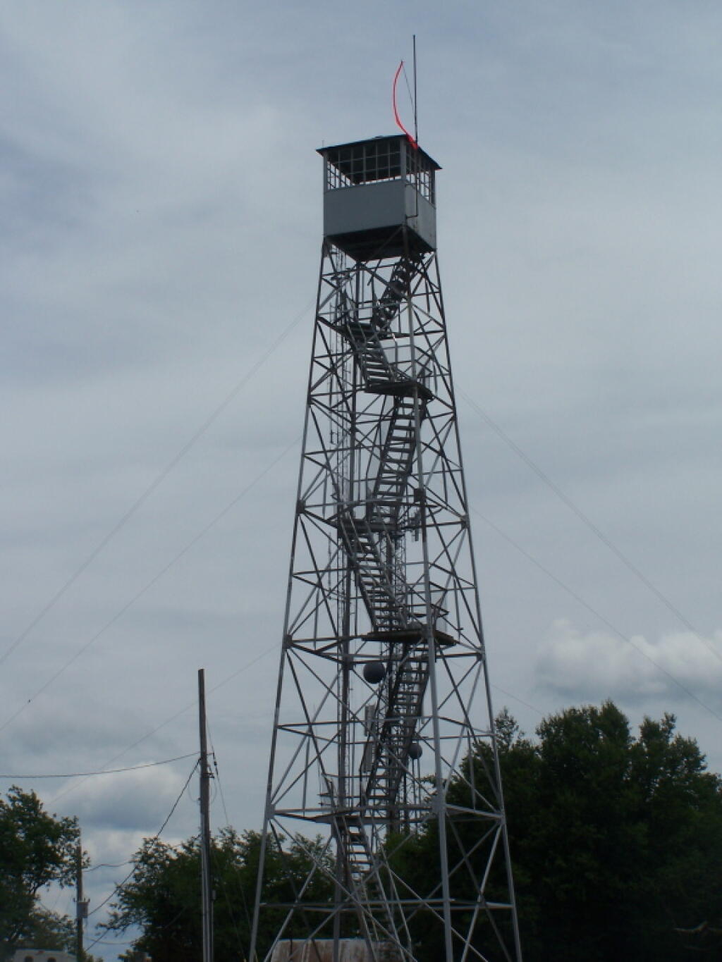
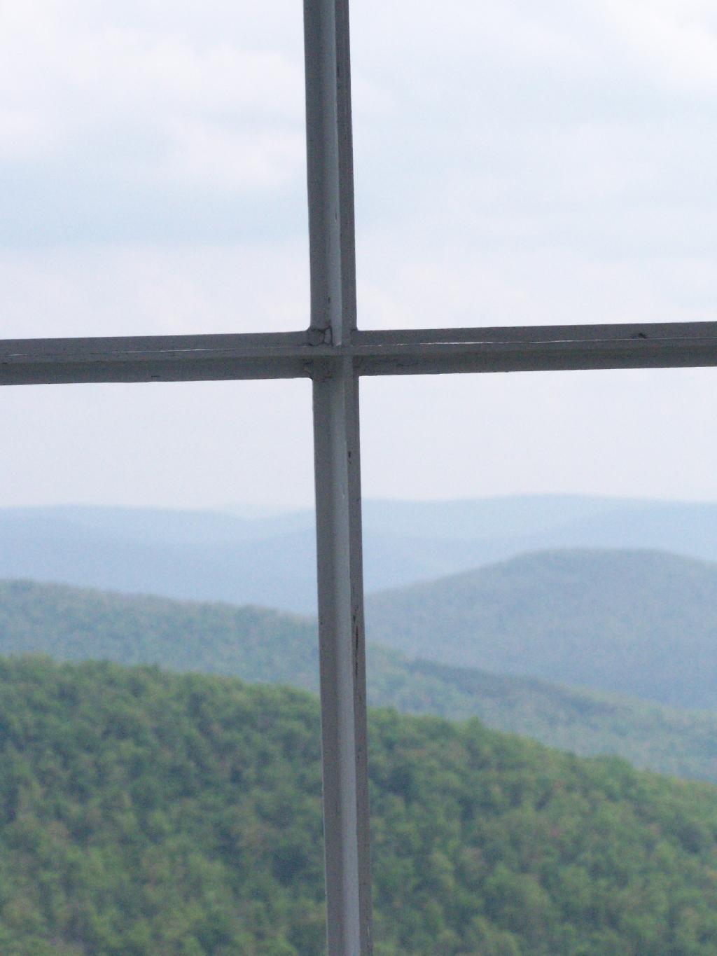
The summit’s crown jewel is the 60-foot steel fire tower. While the original wooden towers built in the late 1800s were frequently damaged by high winds and lightning, the current Aermotor steel structure was erected in 1934 by the Civilian Conservation Corps (CCC).
Though it ceased active fire lookout duties in 1989, it has been beautifully restored. Today, it is part of the National Historic Lookout Register and is open to the public, providing a safe, 360-degree vantage point that is unrivaled in the northern Catskills.

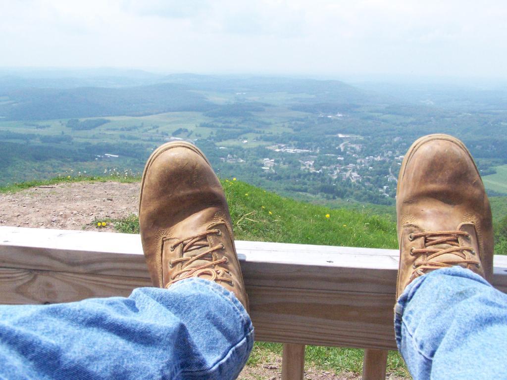
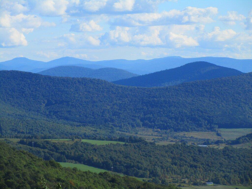
Even without climbing the tower, the summit offers stunning vistas. From the clearing near the Churchill Education Building, you can look down upon the village of Stamford and across the rolling farmlands of Delaware and Schoharie counties.
On a clear day, you might see:
Mount Utsayantha is unique because it is one of the few high peaks you can reach by vehicle.


