
Appalachian Throughway Outside Of Trout Run
A superhighway built through almost unbroken forest, paralleling the old Route 15.
A superhighway built through almost unbroken forest, paralleling the old Route 15.

In 1993, when the black and white aerial was shot, they had yet to complete the second carriageway of US 15 between Trout Route and Williamsport.
LEFT: 1993 B+W Aerial
RIGHT: 2020 Color Aerial
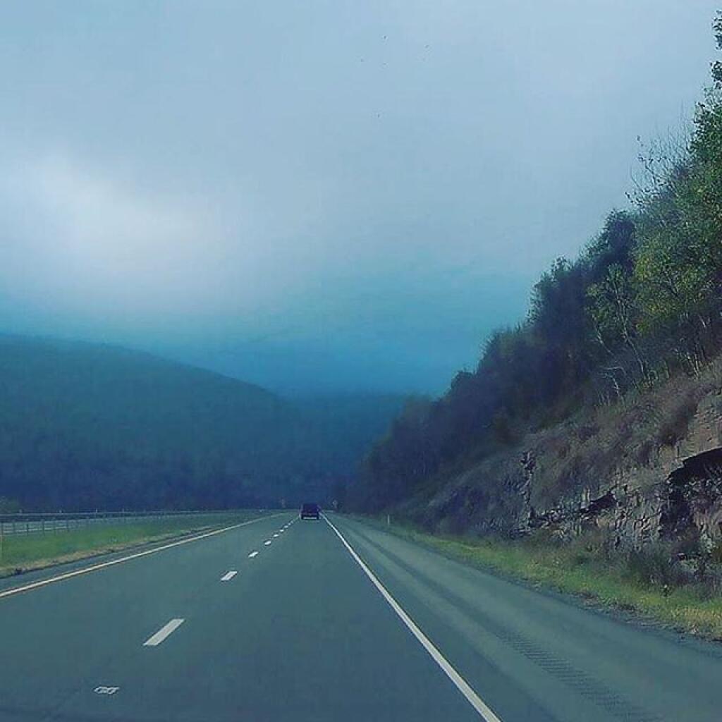

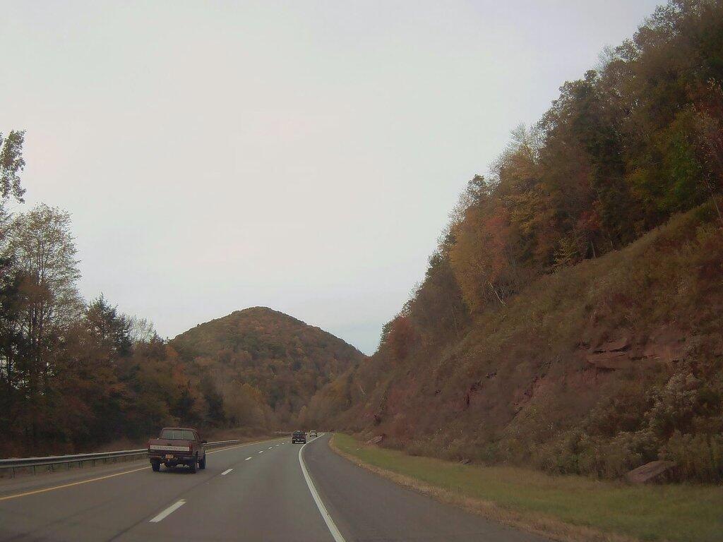

US 15, the future Interstate 99 is sometimes known as the Appalachian Thruway, and it has some beautiful views, especially around Trout Run, Penna.
