Public Lands Policy

Article XIV (Conservation) of NY State Constitution

As amended by the voters on November 5, 2013.

Section 1: Forest preserve to be forever kept wild; authorized uses and exceptions.

The lands of the state, now owned or hereafter acquired, constituting the forest preserve as now fixed by law, shall be forever kept as wild forest lands. They shall not be leased, sold or exchanged, or be taken by any corporation, public or private, nor shall the timber thereon be sold, removed or destroyed.

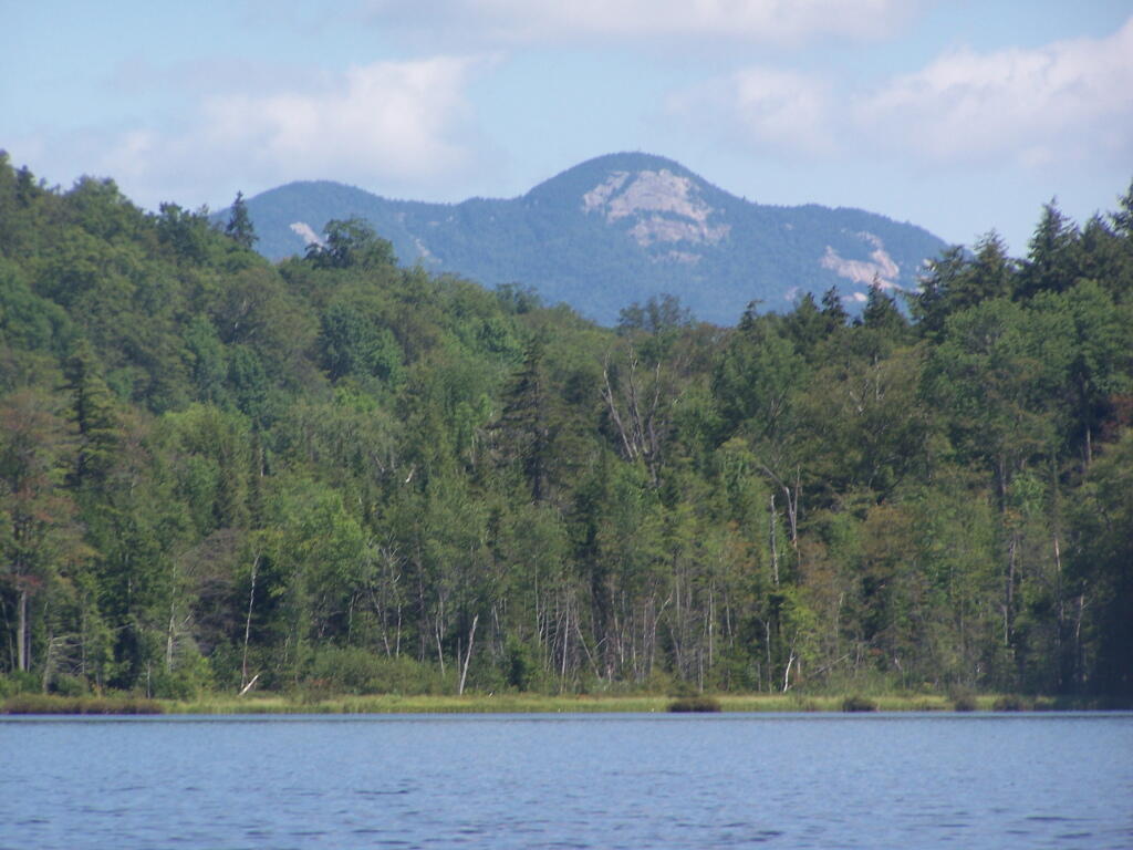
Snowy Mountain

Exception 1:
Adirondack Northway.

Nothing herein contained shall prevent the state from constructing, completing and maintaining any highway heretofore specifically authorized by constitutional amendment, nor from constructing and maintaining to federal standards federal aid interstate highway route five hundred two from a point in the vicinity of the city of Glens Falls, thence northerly to the vicinity of the villages of Lake George and Warrensburg, the hamlets of South Horicon and Pottersville and thence northerly in a generally straight line on the west side of Schroon Lake to the vicinity of the hamlet of Schroon, then continuing northerly to the vicinity of Schroon Falls, Schroon River and North Hudson, and to the east of Makomis Mountain, east of the hamlet of New Russia, east of the village of Elizabethtown and continuing northerly in the vicinity of the hamlet of Towers Forge, and east of Poke-O-Moonshine Mountain and continuing northerly to the vicinity of the village of Keeseville and the city of Plattsburgh, all of the aforesaid taking not to exceed a total of three hundred acres of state forest preserve land, …

Exception 2:
State-owned Ski Resorts Bellayre and Gore Mountain.

… nor from constructing and maintaining not more than twenty-five miles of ski trails thirty to two hundred feet wide, together with appurtenances thereto, provided that no more than five miles of such trails shall be in excess of one hundred twenty feet wide, on the north, east and northwest slopes of Whiteface Mountain in Essex county, nor from constructing and maintaining not more than twenty-five miles of ski trails thirty to two hundred feet wide, together with appurtenances thereto, provided that no more than two miles of such trails shall be in excess of one hundred twenty feet wide, on the slopes of Belleayre Mountain in Ulster and Delaware counties and not more than forty miles of ski trails thirty to two hundred feet wide, together with appurtenances thereto, provided that no more than eight miles of such trails shall be in excess of one hundred twenty feet wide, on the slopes of Gore and Pete Gay mountains in Warren county, …

Exception 3:
Realignment of Certain State Highways in Adirondacks,
Namely Route 9, Route 73, Route 28, and Route 30.

… nor from relocating, reconstructing and maintaining a total of not more than fifty miles of existing state highways for the purpose of eliminating the hazards of dangerous curves and grades, provided a total of no more than four hundred acres of forest preserve land shall be used for such purpose and that no single relocated portion of any highway shall exceed one mile in length.

Exception 4:
Saranac Lake Town Dump Land Exchange.

Notwithstanding the foregoing provisions, the state may convey to the village of Saranac Lake ten acres of forest preserve land adjacent to the boundaries of such village for public use in providing for refuse disposal and in exchange therefore the village of Saranac Lake shall convey to the state thirty acres of certain true forest land owned by such village on Roaring Brook in the northern half of Lot 113, Township 11, Richards Survey.

Exception 5:
Piseco Airport, Part I, Land Exchange.

Notwithstanding the foregoing provisions, the state may convey to the town of Arietta twenty-eight acres of forest preserve land within such town for public use in providing for the extension of the runway and landing strip of the Piseco airport and in exchange therefor the town of Arietta shall convey to the state thirty acres of certain land owned by such town in the town of Arietta.

Exception 6:
Moose River Plains and International Paper Land Exchange.

Notwithstanding the foregoing provisions and subject to legislative approval of the tracts to be exchanged prior to the actual transfer of title, the state, in order to consolidate its land holdings for better management, may convey to International Paper Company approximately eight thousand five hundred acres of forest preserve land located in townships two and three of Totten and Crossfield Purchase and township nine of the Moose River Tract, Hamilton county, and in exchange therefore International Paper Company shall convey to the state for incorporation into the forest preserve approximately the same number of acres of land located within such townships and such County on condition that the legislature shall determine that the lands to be received by the state are at least equal in value to the lands to be conveyed by the state.

Exception 7:
Sagamore Insitute Land Exchange.

Notwithstanding the foregoing provisions and subject to legislative approval of the tracts to be exchanged prior to the actual transfer of title and the conditions herein set forth, the state, in order to facilitate the preservation of historic buildings listed on the national register of historic places by rejoining an historic grouping of buildings under unitary ownership and stewardship, may convey to Sagamore Institute, Inc., a not-for-profit educational organization, approximately ten acres of land and buildings thereon adjoining the real property of the Sagamore Institute, Inc. and located on Sagamore Road, near Racquette Lake Village, in the Town of Long Lake, county of Hamilton, and in exchange therefor; Sagamore Institute, Inc. shall convey to the state for incorporation into the forest preserve approximately two hundred acres of wild forest land located within the Adirondack Park on condition that the legislature shall determine that the lands to be received by the state are at least equal in value to the lands and buildings to be conveyed by the state and that the natural and historic character of the lands and buildings conveyed by the state will be secured by appropriate covenants and restrictions and that the lands and buildings conveyed by the state will reasonably be available for public visits according to agreement between Sagamore Institute, Inc. and the state.

Exception 8:
Piseco Airport, Part II Land Exchange.

Notwithstanding the foregoing provisions the state may convey to the town of Arietta fifty acres of forest preserve land within such town for public use in providing for the extension of the runway and landing strip of the Piseco airport and providing for the maintenance of a clear zone around such runway, and in exchange therefor, the town of Arietta shall convey to the state fifty-three acres of true forest land located in lot 2 township 2 Totten and Crossfield’s Purchase in the town of Lake Pleasant.

Exception 9:
Town of Keene Cemetery Land Exchange.

Notwithstanding the foregoing provisions and subject to legislative approval prior to actual transfer of title, the state may convey to the town of Keene, Essex county, for public use as a cemetery owned by such town, approximately twelve acres of forest preserve land within such town and, in exchange therefor, the town of Keene shall convey to the state for incorporation into the forest preserve approximately one hundred forty-four acres of land, together with an easement over land owned by such town including the riverbed adjacent to the land to be conveyed to the state that will restrict further development of such land, on condition that the legislature shall determine that the property to be received by the state is at least equal in value to the land to be conveyed by the state.

Exception 9:
Hamlet of Raquette Lake Drinking Wells, Land Exchange.

Notwithstanding the foregoing provisions and subject to legislative approval prior to actual transfer of title, because there is no viable alternative to using forest preserve lands for the siting of drinking water wells and necessary appurtenances and because such wells are necessary to meet drinking water quality standards, the state may convey to the town of Long Lake, Hamilton county, one acre of forest preserve land within such town for public use as the site of such drinking water wells and necessary appurtenances for the municipal water supply for the hamlet of Raquette Lake. In exchange therefor, the town of Long Lake shall convey to the state at least twelve acres of land located in Hamilton county for incorporation into the forest preserve that the legislature shall determine is at least equal in value to the land to be conveyed by the state. The Raquette Lake surface reservoir shall be abandoned as a drinking water supply source.

Exception 10:
Tupper Lake/National Grid “Tri-Lakes Reliability Project” Land Exchange.

Notwithstanding the foregoing provisions and subject to legislative approval prior to actual transfer of title, the state may convey to National Grid up to six acres adjoining State Route 56 in St. Lawrence County where it passes through Forest Preserve in Township 5, Lots 1, 2, 5 and 6 that is necessary and appropriate for National Grid to construct a new 46kV power line and in exchange therefore National Grid shall convey to the state for incorporation into the forest preserve at least 10 acres of forest land owned by National Grid in St. Lawrence county, on condition that the legislature shall determine that the property to be received by the state is at least equal in value to the land conveyed by the state.

Exception 11:
Ending the Township 40/Racquette Lake Property Dispute.

Notwithstanding the foregoing provisions, the legislature may authorize the settlement, according to terms determined by the legislature, of title disputes in township forty, Totten and Crossfield purchase in the town of Long Lake, Hamilton county, to resolve longstanding and competing claims of title between the state and private parties in said township, provided that prior to, and as a condition of such settlement, land purchased without the use of state‐appropriated funds, and suitable for incorporation in the forest preserve within the Adirondack park, shall be conveyed to the state on the condition that the legislature shall determine that the property to be conveyed to the state shall provide a net benefit to the forest preserve as compared to the township forty lands subject to such settlement.

Exception 12:
NYCO Minerals Land Exchange.

Notwithstanding the foregoing provisions, the state may authorize NYCO Minerals, Inc. to engage in mineral sampling operations, solely at its expense, to determine the quantity and quality of wollastonite on approximately 200 acres of forest preserve land contained in lot 8, Stowers survey, town of Lewis, Essex county provided that NYCO Minerals, Inc. shall provide the data and information derived from such drilling to the state for appraisal purposes. Subject to legislative approval of the tracts to be exchanged prior to the actual transfer of title, the state may subsequently convey said lot 8 to NYCO Minerals, Inc., and, in exchange therefor, NYCO Minerals, Inc. shall convey to the state for incorporation into the forest preserve not less than the same number of acres of land, on condition that the legislature shall determine that the lands to be received by the state are equal to or greater than the value of the land to be conveyed by the state and on condition that the assessed value of the land to be conveyed to the state shall total not less than one million dollars. When NYCO Minerals, Inc. terminates all mining operations on such lot 8 it shall remediate the site and convey title to such lot back to the state of New York for inclusion in the forest preserve. In the event that lot 8 is not conveyed to NYCO Minerals, Inc. pursuant to this paragraph, NYCO Minerals, Inc. nevertheless shall convey to the state for incorporation into the forest preserve not less than the same number of acres of land that is disturbed by any mineral sampling operations conducted on said lot 8 pursuant to this paragraph on condition that the legislature shall determine that the lands to be received by the state are equal to or greater than the value of the lands disturbed by the mineral sampling operations.

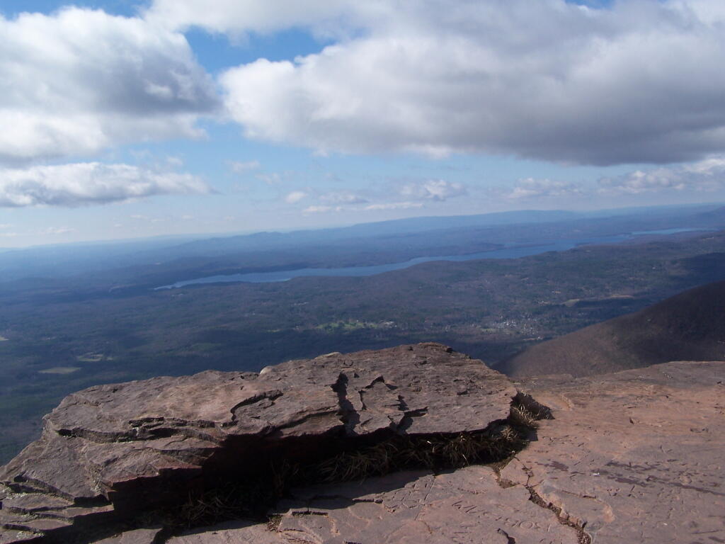
Ashokan Reservior

Section 2:
Reserviors.

The legislature may by general laws provide for the use of not exceeding three per centum of such lands for the construction and maintenance of reservoirs for municipal water supply, and for the canals of the state.

Such reservoirs shall be constructed, owned and controlled by the state, but such work shall not be undertaken until after the boundaries and high flow lines thereof shall have been accurately surveyed and fixed, and after public notice, hearing and determination that such lands are required for such public use.

The expense of any such improvements shall be apportioned on the public and private property and municipalities benefited to the extent of the benefits received. Any such reservoir shall always be operated by the state and the legislature shall provide for a charge upon the property and municipalities benefited for a reasonable return to the state upon the value of the rights and property of the state used and the services of the state rendered, which shall be fixed for terms of not exceeding ten years and be readjustable at the end of any term. Unsanitary conditions shall not be created or continued by any such public works.

Mallet Pond Dam

Section 3:
Forest and wild life conservation; use or disposition of certain lands authorized.

1. Forest and wild life conservation are hereby declared to be policies of the state. For the purpose of carrying out such policies the legislature may appropriate moneys for the acquisition by the state of land, outside of the Adirondack and Catskill parks as now fixed by law, for the practice of forest or wild life conservation. The prohibitions of section 1 of this article shall not apply to any lands heretofore or hereafter acquired or dedicated for such purposes within the forest preserve counties but outside of the Adirondack and Catskill parks as now fixed by law, except that such lands shall not be leased, sold or exchanged, or be taken by any corporation, public or private.

2. As to any other lands of the state, now owned or hereafter acquired, constituting the forest preserve referred to in section one of this article, but outside of the Adirondack and Catskill parks as now fixed by law, and consisting in any case of not more than one hundred contiguous acres entirely separated from any other portion of the forest preserve, the legislature may by appropriate legislation, notwithstanding the provisions of section one of this article, authorize:

(a) the dedication thereof for the practice of forest or wild life conservation; or

(b) the use thereof for public recreational or other state purposes or the sale, exchange or other disposition thereof; provided, however, that all moneys derived from the sale or other disposition of any of such lands shall be paid into a special fund of the treasury and be expended only for the acquisition of additional lands for such forest preserve within either such Adirondack or Catskill park.

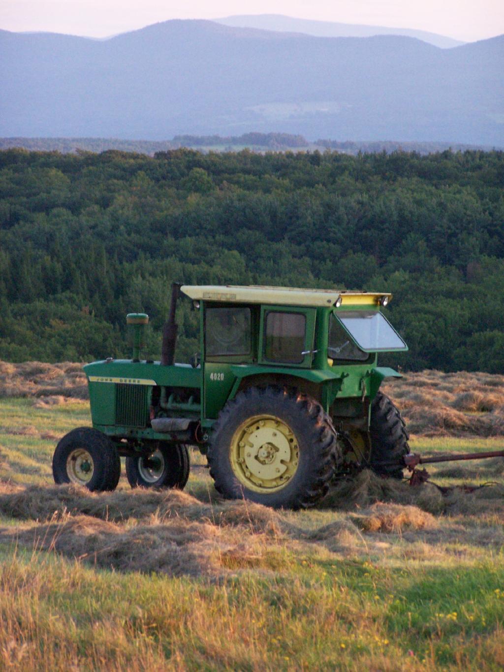
Farm Tractor

Section 4:
Protection of natural resources; development of agricultural lands

The policy of the state shall be to conserve and protect its natural resources and scenic beauty and encourage the development and improvement of its agricultural lands for the production of food and other agricultural products.

The legislature, in implementing this policy, shall include adequate provision for the abatement of air and water pollution and of excessive and unnecessary noise, the protection of agricultural lands, wetlands and shorelines, and the development and regulation of water resources.

The legislature shall further provide for the acquisition of lands and waters, including improvements thereon and any interest therein, outside the forest preserve counties, and the dedication of properties so acquired or now owned, which because of their natural beauty, wilderness character, or geological, ecological or historical significance, shall be preserved and administered for the use and enjoyment of the people.

Properties so dedicated shall constitute the state nature and historical preserve and they shall not be taken or otherwise disposed of except by law enacted by two successive regular sessions of the legislature.

Off Firetower

Section 5:
Violations of article; how restrained.

A violation of any of the provisions of this article may be restrained at the suit of the people or, with the consent of the supreme court in appellate division, on notice to the attorney-general at the suit of any citizen.
Abandoning Existing Roads in Essex Chain Tract Makes No Sense

There are some wilderness advocates in our state that are calling for abandoning of existing roads in the Essex Chain tract to create an expanded Hudson Gorge Wilderness-area. Their argument is that by closing off these roads to all uses except foot traffic, it’s an opportunity to create yet another wilderness area in the Adirondacks – as if there was a shortage of wilderness areas.

The Proposals.

Essex-Chain-MapoptHere is the vision of the towns, where they propose to keep most of the existing roads open for low-speed motor vehicle travel.

Essex-Chain-DEC-MapThe DEC in contrast is proposing to limit most of the existing dirt roads to hiking, mountain bikes, and snowmobiles, but also preserves access to the Hudson River, Cedar River, and Essex Tract within a 1/4 mile buffer. The buffer is designed so that people on the lakes can’t hear or see motor vehicles, which could compromise their experience.

council.map_This is the proposal that the wilderness advocates. Not much access to the lakes, and a banning of mountain bikes and snowmobiles from existing roads.

Why It’s Important to Protect Public Access.

Low-speed motor vehicle roads are an important to making the back-country accessible and widely available. The reality is relatively few people use our public wild spaces, with most people preferring to staying within the comfort of the cities and suburbs, with cable television, high speed internet, wash tubs, and flush toilets. It’s important to encourage public use of our lands, to create a constituency to protect these lands for future use.

Washed Out Section of Cheney Pond Road

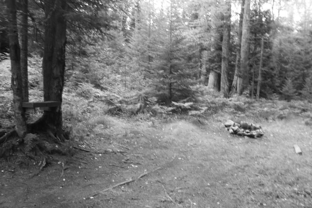
Nobody is arguing for a widening or expansion of the Essex Chain tract roads. This would be constitutionally prohibited, and could detract from these wonderful lands. Nobody is arguing for blacktop pavement, flush toilets, water fountains, or developed campsites. In contrast, any use of these of these lands would be primitive, with facilities limited to dirt seasonal-use roads, outhouses, and designated campsites that have only natural-stone fireplaces. Even so-called roadside campsites, would have little more then a place to park a vehicle, a fire ring made of local stone and maybe an outhouse. Picnic tables are generally not allowed in wild forest areas.

Beaver Creek Campsite

Even with the existing dirt roads, the only people who would drive miles back into the woods would be people who don’t mind getting dirty, and want to go canoe, fish, hike, hunt, or camp in a wild setting. Fears of overuse are well overblown, because there are many other wild forest areas – with roads, campsites, trails, and minimal development – that get light use at best.

Fracking, Grazing, Timbering Important to Our Public Lands

In nearly every place in America, rural or urban, you can turn on your car radio and tune into one of 50 or more radio stations on the AM or FM band. The radio frequencies are publicly owned, but the radio stations are private businesses that lease their frequencies from the government, and provide the public with the benefit of a constant stream of music, talk, or other programming. Radio stations derive their revenue mostly from advertising or “underwriting messages”, with only a small portion of non-profit stations coming from the government or donors.

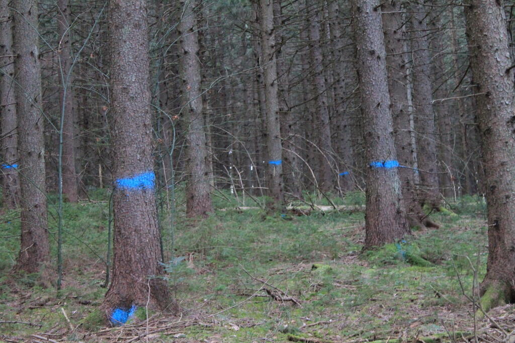
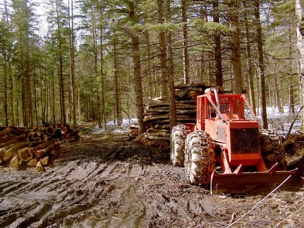
Timber to Be Cut

Most people agree this arrangement works pretty good. Yes, we all tire of the constant barrage of advertising for DWI lawyers and car dealers, but accept this advertising as part of deal when it comes to listening to free over-the-air radio. For most part it’s a good deal, and if we don’t want to listen to the advertising, we can just change the channel and find another station playing the tunes we like.

Edge of Marcellus Well Pad

Our public lands are similar. Most public lands are free for the public to use for recreational purposes, such as camping, fishing, hunting, hiking, mountain biking, snowmobiling, riding ATVs, or even scenic driving along dirt roads. These lands derive much if not most of their revenue from timber sales, grazing leases, and sales of mineral rights. The state and federal government uses sells resources on public land to pay for its recreational uses, while also benefiting the public by providing access to needed resources as at an affordable price.

Untitled [Expires June 24 2024]

Public land resource sales are governed by strict regulations relating to their siting, process, and restoration process. A company that wants to drill for oil or gas, must have a plan and bond posted to restore the site to original condition once the extraction has concluded. Timber harvest must occur in a way that protects water resources, and provides for reseeding of the trees, so new trees grow up and replace the harvested trees. Impacts of resource sales are to be temporary on the public’s use and enjoyment of the resources.

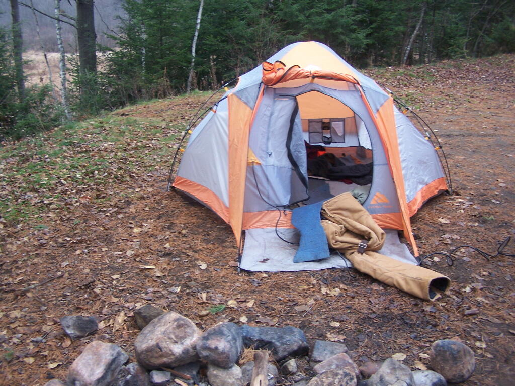
Packing Up My Tent

There should be a small number of areas where wilderness areas should be designated to prohibit most extractive use of public lands. These lands are paid entirely from general tax revenue. There should also be intensive use parks, that are fully developed with picnic tables, flush toilets, playgrounds, and swimming pools, in small portions of public lands. These are generally paid through user fees, collected at toll booths at entrance, and general tax revenues.

Logging Truck

But for the vast bulk of our public lands should be free-to-recreate with the balance of income for facilities coming from the responsible extraction of resources by private for-profit corporations. That means, much like advertising on the radio, the regulated cutting of timber, the drilling for oil and gas, and the grazing of cattle, are just part of what we must accept for wonderful, large, essentially wild spaces where the public can use for recreation with minimal constraint or cost.

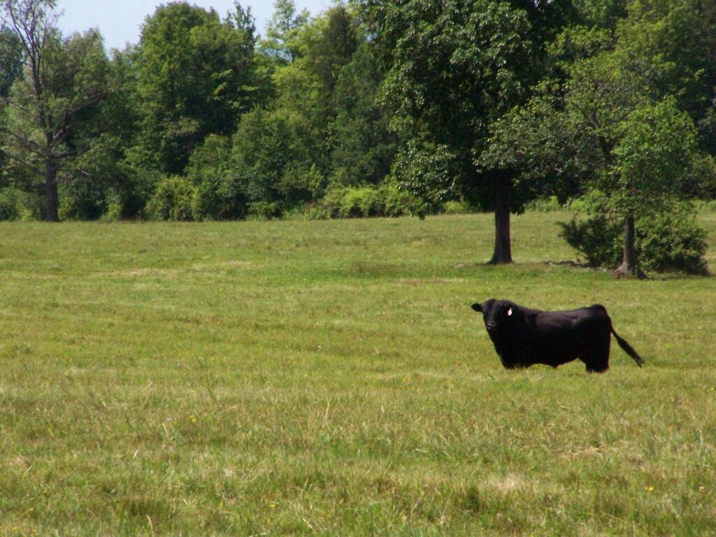
Black Angus

“Where conflicting interests must be reconciled, the question shall always be answered from the standpoint of the greatest good of the greatest number in the long run.”

~ Secretary of Agriculture James Wilson (1905)

WINONA STATE FOREST UMP

Senior Forester Ed Sykes
NYS Department of Environmental Conservation, Region 6
7327 State Route 812
Lowville, NY 13367

July 15, 2013

Dear Mr. Sykes:

 RE: WINONA STATE FOREST UMP

The Draft Winona State Forest UMP appears to be incorrect as it relates to the Facilities Inventory, subsection “Designated Campsites” on page 24:

There are three designated campsites on Winona, and their locations are as follows:

 • Co. Rte. 90, 0.1 mile east of the intersection of Brown and Co Rt. 90;

• On Bargy Rd., 0.3 mile south of CCC Camp;

• On Tucker Rd., 0.4 mile east of the intersection of Bargy and Tucker Road

Based on my casual inspection of these locations, I was unable to locate these campsites. It is possible that these sites have not been mowed, reverted to woods, and/or do not have the required “Camp Here” disks pursuant to NYCRR 6 Part 190.

There is however, one relatively well-used campsite near GPS location N 43.69528 W 75.97681. This site is located roughly 300 feet south of the intersection of Bargy Road and Dog Leg Trail. It is indicated by a “Camp Here” disk, and is consists of a stone fire ring, and a hardened-with-gravel camping pad.

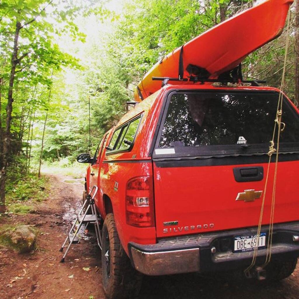
Many traveling New Yorkers enjoy having drive-to, “road-side campsites”, that provide minimal facilities  but allow one to camp there with a pickup truck with a camper top, or a small-tow along camper, such a pop-up or tear-drop camper. Likewise, people with families appreciate being able to pull into a campsite, set up a tent, without having to carry it back to the woods. In the western Tug Hill Plateau, this is the only location that offers this essentially primitive-style camping.

The DEC should designate five (5) roadside campsites along the various roads in Winona State Forest.

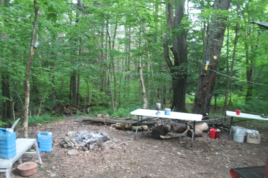
The Next Morning

 These campsites should follow the design of roadside campsites in the Adirondack Park, e.g.

all campsites should be at least a quarter mile apart (at least out of eye-shot/ear-shot each other),

  • be properly designated with “Camp Here” disks,
  • set back at least 150 ft from water, trails, and other facilities; and
  • consist of a gravel-hardened pull off with shading from the road, and a small stone-fire ring.
  • No other facilities should be a provided, except for outhouses, as decided based on usage.

Standard policies under NYCRR 6 Part 190, such as requiring a camping permit for stays longer then 3 nights, should apply.

DEC operations staff should be instructed to occasionally maintain the campsites, such as mowing and litter removal, similar to what is currently done along roadsides and in parking/assembly areas. DEC Forest Rangers and law enforcement should also occasionally patrol the area, especially on Friday evenings in May and June, to discourage littering and abuse by young adults during the end of school year.

Finally, the DEC Forester should GPS the location of such campsites. and provide such data to the centralized DEC Maintenance Management System (MMS) in Albany, and provide campsite locations on maps and informational kiosks.

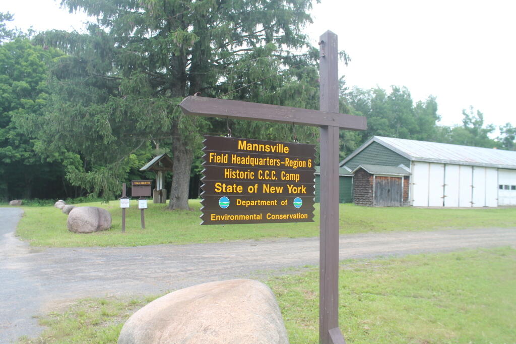
Winona Forest CCC Camp

Many people choose roadside camping over state and private campgrounds, or primitive camping the backcountry on undesigned and undeveloped sites. Many like the privacy of roadside camping, the social nature of it, the ability to listen to music without disturbing others in the close-proximity conditions that exist in state campgrounds. By expanding roadside camping opportunities on this state land, it will expand the use of these lands in summer months.

Winona State Forest offers a lot to the visitor, including miles of hiking, mountain biking, and horse trails. The miles of roads provide scenic driving, and access to the interior forest for hunting and nature observation. The forest is a short drive to Salmon River Reservoir and Lakeview Marsh WMA which offer fishing, boating, and other opportunities. Expanding camping opportunities will enhance the public’s use of this area.

Thank you for reviewing these comments. I look forward to reviewing the revised draft Winona UMP.

Sincerely,

Andy Arthur

DEIS on 2013 Amendments to the Adirondack Park State Land Master Plan

July 15, 2013

James E. Connolly, Deputy Director, Planning
Adirondack Park Agency
Post Office Box 99
1133 State Route 86
Ray Brook, NY 12977

Dear Mr. Connolly:

 RE:  DEIS on 2013 Amendments to the Adirondack Park State Land Master Plan

 The Draft Supplemental Environmental Impact Statement fails to provide all ‘reasonable alternatives’ in its review of possibilities, by failing to include the option of classifying the lands of Essex Chain Tract, Indian River Tract, OK Slip Tract, and Open Space Conservancy (OSC) Tracts as ‘Wild Forest’ in their entirety.  A reasonable person could conclude that providing such a ‘Wild Forest’ classification, as part of the review, is required under the analysis mandated by ECL 8-0109 (“reasonable alternatives under SERQA”) and the Executive Law 816 (“state land plan for Adirondacks”).

While Alternative 4A (“New Land as Wild Forest with a Wilderness Corridor Along the Hudson River”) comes close to a pure ‘Wild Forest’ option, I would strongly recommend that the agency consider creating an Alternative 4C, with a ‘Wild Forest’ option, and ultimately adopt the Alternative 4C, pure ‘Wild Forest’ option, to preserve access to existing roadways, as felt necessary and proper by the Department of Environmental Conservation.

A pure ‘Wild Forest’ option would continue to allow use many of the existing roadways to provide access to the interior of these lands that exists today, under private ownership to existing camps and facilities. Nobody is proposing the construction of new roads or expanded motor vehicle access to this area, indeed such a provision would be violative of Article XIV of the state’s constitution, which states, “…nor shall the timber thereon be sold, removed or destroyed.”

East

The unique provisions of the state’s constitution will prevent excessive development and use of these lands. In Association for Protection of Adirondacks v MacDonald (253 N.Y. 234, affg 228 App Div 73, 1930), it was decided that most cutting of trees in the forest preserve by the DEC was prohibited. A state-owned bob sleigh run was prohibited from being built in state forest preserve.

 “The Adirondack Park was to be preserved, not destroyed. Therefore, all things necessary were permitted, such as measures to prevent forest fires, the repairs to roads and proper inspection, or the erection and maintenance of proper facilities for the use by the public which did not call for the removal of the timber to any material degree. The Forest Preserve is preserved for the public; its benefits are for the people of the State as a whole.” (emphasis added)

No new facilities on these lands may be constructed that require the cutting of timber, beyond a “material degree” as defined in MacDonald and subsequent decision in Balsam Anglers Club v. DEC (153 Misc. 2d 606, 1991), which continued to hold that DEC could not cut any material amount of timber, although a small amount of brush removed to conduct a hiking a trail would be permissive.

Further restrictions on public motor vehicle use in ‘Wild Forest’ lands under 1935 opinion of Attorney General John J. Bennett, Jr., who stated it would be unlawful to create new public roads within forest preserve, without amending the state constitution. Mr. Bennett’s opinion permitted the DEC to create new “truck trails” for administrative use and forest-fire prevention, however if such truck trails were to be built, the public would be banned from use of them.

Therefore, Adirondack Park Agency (APA) should not be concerned or fearful about an expansion of motorized transportation in this areas, but should continue to allow existing access roads where deemed necessary and proper by the Department of Environmental Conservation (DEC).

Sandy Plains

Moreover, the APA is not constrained, on their classification of these parcels. The controlling law is Executive Law 816, which simply requires the APA to create a plan, and for the DEC to follow it. The statue allows for the APA to amend their plan, at will, when acquiring new parcels or meet contemporary uses of land, as long as it is consistent with the state constitution’s prohibition on the removal of timber.

A ‘Wild Forest’ classification, with the protections provided under state constitution is what is needed for these lands. This would keep most of the existing interior roads open for low-speed, controlled motor vehicle travel, for access to the Hudson River, campsites, and the many ponds and trail heads up mountains. Let the DEC then decide which existing interior roads to convert to hiking trails, based on terrain and sensitive environmental areas.

Additionally, a ‘Wild Forest’ classification would keep existing interior roads open to snowmobiles in winter and ATV access in the summer and fall including hunting seasons. Again, exact routing of such corridors should be left to the DEC in their creation of the Unit Master Plan (UMP). Likewise, hiking trails should be designated in the UMP, and may be created either following existing routes, or new routes, under the authority granted by the court in Balsam Anglers Club.

To be clear, current precedence and practice allows roadside camping, with a small trailer or pickup truck with a camper top, is allowed in Wild Forest-area in designated areas. As such, I would call for an amendment to the APSLMP, as part of the plan to strike the road “tent” from the description of campsite, as designated under Wild Forest. All other provisions, including the ¼ mile separation should remain for campsites in Adirondack Park.

Units with existing, department-designed roadside campsites, and no prohibitions on small vehicular campers include the following Wild Forests: Aldrich Pond, Black River, Debar Mountain, Ferris Lake, Horsehoe Lake, Jessup River, Independence River, Moose River, Saranac Lake, Sargent Ponds, Taylor Pond, Vanderwhacker, and Wilcox Lake – all of largest wild forests. Roadside camping is popular activity on many back roads, and is not only allowed in many designated sites in New York State, but is common in National Forests in neighboring states, such as Pennsylvania and Vermont. The impact on existing ecosystems is minimal, as the land is already impacted by existing motor vehicle traffic traveling on these roads.

Finally, the Adirondack Park Agency should carefully review the resolution, “Resolution in Support of the Upper Hudson Recreational Hub Request for Maximum Access to Unclassified State Lands,” by the Adirondack Association of Village and Towns in making their classification decision for these lands. Setting out a dramatic vision for these lands, they would protect the existing wild forest character of these lands, while maximizing the public use of these lands, which were ultimately paid for with our taxpayer dollars.

Thank you for reviewing these comments. I look forward to reviewing the revised DEIS.

Sincerely,

Andy Arthur

Beaver Dam


 Resolution in Support of the Upper Hudson Recreational Hub

Request for Maximum Access to Unclassified State Lands


Resolution Date: 3 June 2013 at the Membership Meeting of the Adirondack Association of Towns and Villages

Moved By: Supervisor Farber, seconded by Supervisor Monroe  CARRIED

WHEREAS, Governor Cuomo has announced the State’s acquisition of 69,000 acres of the former Finch Pruyn and other Nature Conservancy Lands; and

WHEREAS, Governor Cuomo has stated that this agreement will make the Adirondack Park one of the most sought after destinations for paddlers, hikers, hunters, sportspeople, and snowmobilers, and that opening these lands to public use and enjoyment for the first time in 150 years will provide extraordinary new outdoor recreational opportunities, increase the number of visitors to the North Country and generate additional tourism revenue; and

WHEREAS, the five Towns in the Adirondack Park most affected by this acquisition wish to realize the maximum benefit of increased tourism revenue; and

WHEREAS, the five Towns consisting of Indian Lake, Long Lake, Minerva, Newcomb, and North Hudson wish to work together to achieve the maximum economic benefit to the region from the increased tourism and have now formed the Upper Hudson Recreation Hub; and

WHEREAS, these tracts of land have an extensive network of maintained roads formerly used as logging and access roads; and

WHEREAS, the Upper Hudson Recreation Hub is in agreement that the only path to realize the maximum economic benefit of this land acquisition is to provide the utmost access to the public to the ponds, lakes, rivers, streams, and trails and that access should be provided to all citizens including the elderly, handicapped, disabled and physically challenged; and

WHEREAS, the Upper Hudson Recreation Hub is also in agreement that all forms of recreational activities to include, but not be limited to, hiking, canoeing, camping, skiing, snowmobiling, mountain biking, horseback riding, dog sledding, and the use of ATV’s be permitted; and

WHEREAS, the Upper Hudson Recreation Hub is of the opinion that the “Gooley Historical Society” be permitted to preserve and maintain the Outer Gooley Farmhouse, a building of historical significance that would be a learning tool for current and future generations and the loss of this valuable asset would be truly disrespectful to our Adirondack Ancestors; and ..

WHEREAS, the Upper Hudson Recreation Hub agrees that the proposal to surplus the Boreas Pond Lodge and support buildings would be a complete waste of a valuable asset that could be used for many purposes such as training and education, as an information center, an outpost, or as lodging; and

NOW, THEREFORE BE IT RESOLVED, that the Adirondack Association of Towns and Villages wholeheartedly supports the position of the Upper Hudson Recreation Hub, in its honorable efforts to achieve the greatest economic benefit from this purchase by requesting that the State classify these lands in away that promotes the maximum access to the ponds, lakes, rivers, streams, and trails by all citizens, including the elderly, handicapped, disabled and physically challenged; and

BE IT FURTHER RESOLVED, the Adirondack Association of Towns and Villages strongly oppose any land use and classification that does not allow for all forms of recreational activities to include, but not be limited to, hiking, canoeing, camping, snowmobiling, skiing, mountain biking, horseback riding, dog sledding, and the use of ATV’s; and

BE IT FURTHER RESOLVED, that the Adirondack Association of Towns and Villages fully supports the continued maintenance and preservation of the Outer Gooley Farm House, a place of historical significance where early settlers tried to farm and run a sporting camp; where there was a discovery of hand dugout canoes; where Heavyweight boxer Gene Tunney trained; and where Senator Bobby Kennedy launched his raft into the Hudson River, and, if not preserved, would be the loss of an invaluable asset that could be used as a learning center for present and future generations; and

BE IT FURTHER RESOLVED, that the Adirondack Association of Towns and Villages fully supports the continued use of Boreas Pond Lodge and support buildings that could be used for many purposes such as training and education, as an information center, an outpost, or as lodging; and

BE IT FURTHER RESOLVED, that copies of this resolution be sent to Governor Andrew Cuomo, Commissioner Joe Martens, Senator Elizabeth O’C Little, Senator Hugh T. Farley, Assemblyman Daniel G. Stec, Assemblyman Marc W. Butler, Adirondack Park Agency Chairwoman Leilani Ulrich, DEC Region 5 Regional Director Robert Steggeman and DEC Region 5 Regional Natural Resource Supervisor Thomas Martin.

Is the Adirondack Park Overused?

A frequent claim by wilderness advocates, is that the Adirondack Park is overused, growing in popularity, and that our natural resources are endanger of overuse and destruction. An alternative claim is that while that many parts of the Adirondack Park is underused today, in the near future, the Adirondack Park will become more drastically more popular due to cities suffering from the impacts of climate change and pollution.

Along Long Swing Trail at Glidden Marsh

Both my personal observation, and that of the Adirondack State Land Master Pland seem to point in the opposite direction — the Adirondack Park is underused and unpopular except for a few selected areas that have gotten a lot of media attention and a lot of hype and publicity over the years.

This text is from the Adirondack State Land Master Plan, Guidelines for Management and Use:

Those areas classified as wild forest are generally less fragile, ecologically, than the wilderness and primitive areas. Because the resources of these areas can withstand more human impact, these areas should accommodate much of the future use of the Adirondack forest preserve. The scenic attributes and the variety of uses to which these areas lend themselves provide a challenge to the recreation planner. Within constitutional constraints, those types of outdoor recreation that afford enjoyment without destroying the wild forest character or natural resource quality should be encouraged. Many of these areas are under-utilized. For example the crescent of wild forest areas from Lewis County south and east through Old Forge, southern Hamilton and northern Fulton Counties and north and east to the Lake George vicinity can and should afford extensive outdoor recreation readily accessible from the primary east-west transportation and population axis of New York State.

The Department of Environmental Conservation, as ratified by Adirondack Park Agency, if of the opinion that most Wild Forests are underused in the Adirondack, and there is not a crisis demanding greater restrictions or the need to convert wild forest tracts over to wilderness.

Woods Lake

When you go to the Bethlehem Library, they have a series of maps for the “Wilderness” areas of the Adirondack Park. But no such maps exist for the “Wild Forest” areas. Indeed, in many ways, the Wild Forest area, bar a few very popular (but small) camping areas and popular summits, the “Wild Forest” system is under-utilized, especially compared to the 1960s and 1970s, when camping and outdoor recreation of all sorts reached a pinnacle. Today, more people are choosing their Big Screen Television over outdoor pursuits.

In End of Helldiver Pond

Even on holiday weekends, you do not see crowds of people going to Adirondacks, except to certain specific locations that are particularly popular, like the most famous summits and waterways. But in most places, the wild forest and wilderness is pretty quiet, with only the occassional person passing through, with minimal conflict or interference between hikers.

Hiking Lyon Mountain

Last October I went for a hike up Lyon Mountain. The first 3/4 of a mile you can drive up to the parking lot, then from there, it’s a two mile hike to the summit, or about 3 miles if you take the new trail.

Same campsite I sprained my ankle in one year ago. This time, used a step stool

The old trail, following an old woods road is eroded and rough in places, but it well traveled as it much shorter. The new trail, being so twisty is not as well traveled, but it is far less steep and tends to be less wet in the spring time.

Start of Lyon Mountain Trail

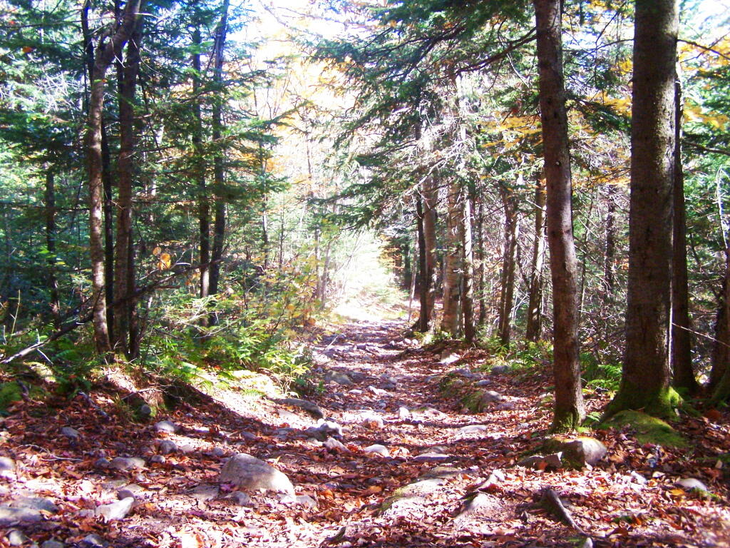
Heading up from the parking area, the first part of the trail follows the old trails route, before swinging left near a registration kiosk.

Maples Along Trail

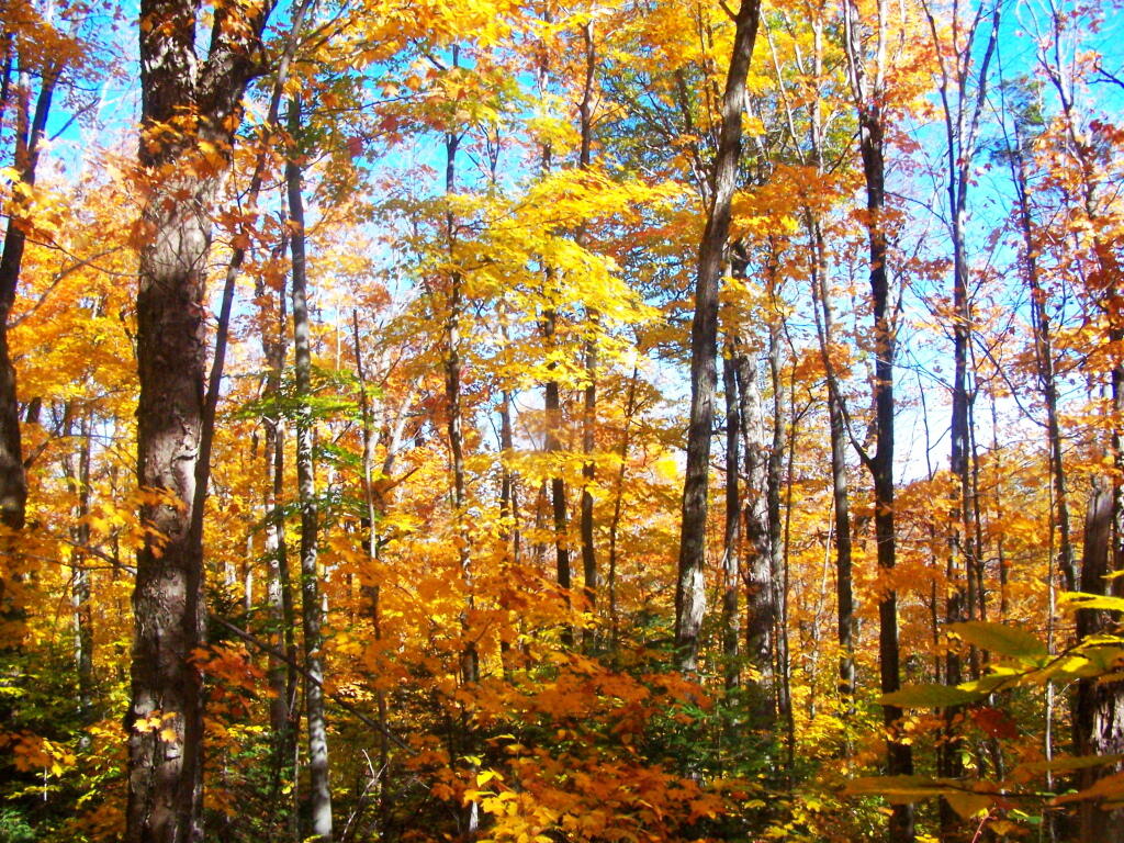
It was very colorful along the new trail as all the maples where at about peak color going up the mountain.

On the Old Trail

I decided to switch over from the new trail to the old trail, once I reached the point where the trails reached their closest point at the midpoint up the mountain.

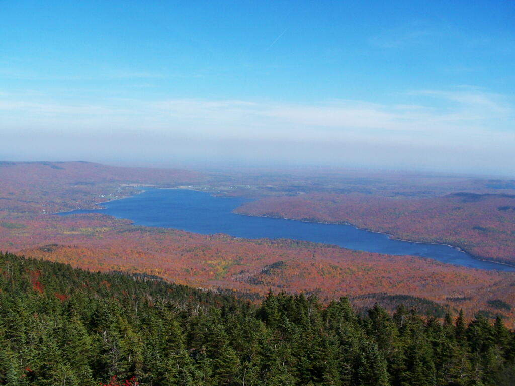
First View of Chazy Lake from Mountain

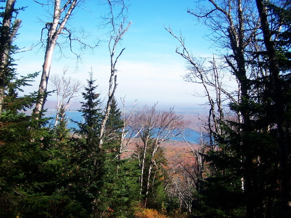
As you get about 2/3rds the way up the mountain, you can look back and see Lake Chazy.

Steep and Eroded Old Trail

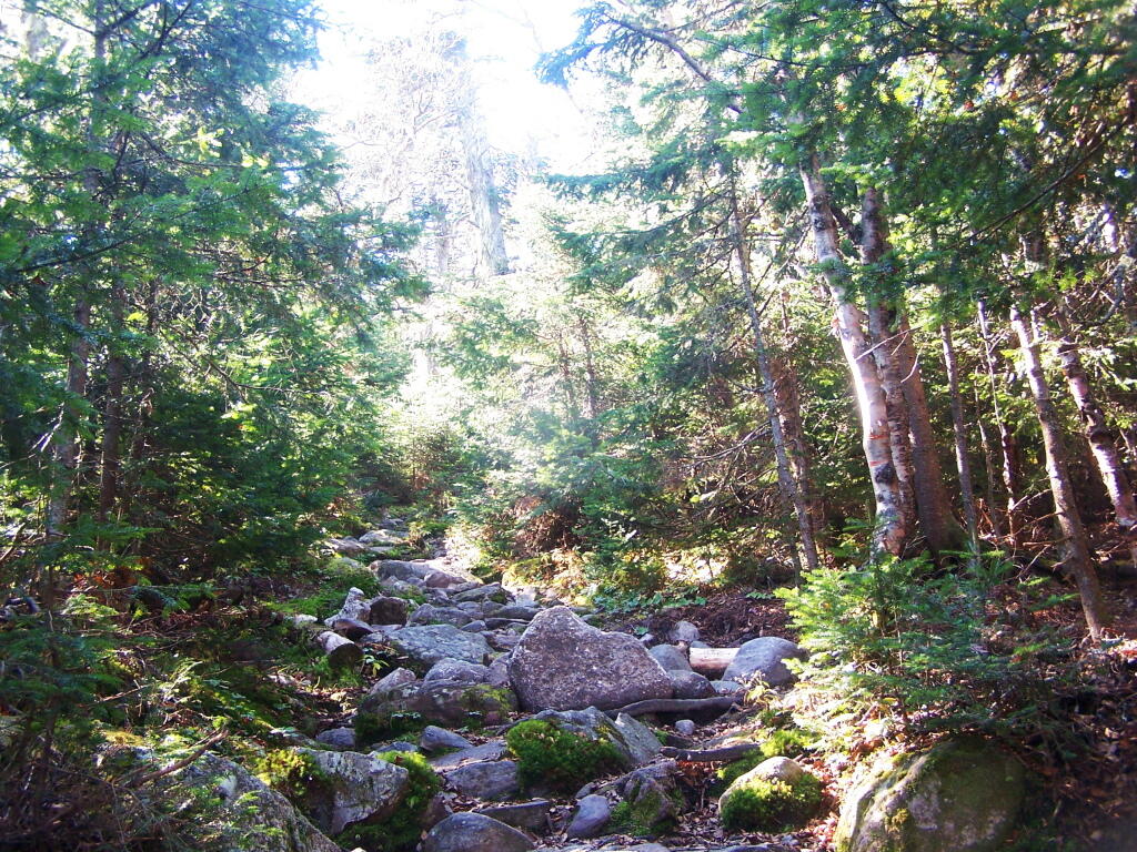
The old trail certainly is eroded and in rough sape in some parts. You can understand why they re-routed it.

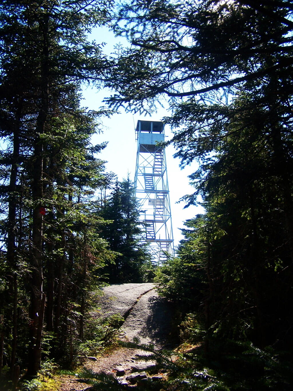
There's the Lyon Mountain Firetower

Ah, finally see the fire tower.

North Towards Chazy Lake

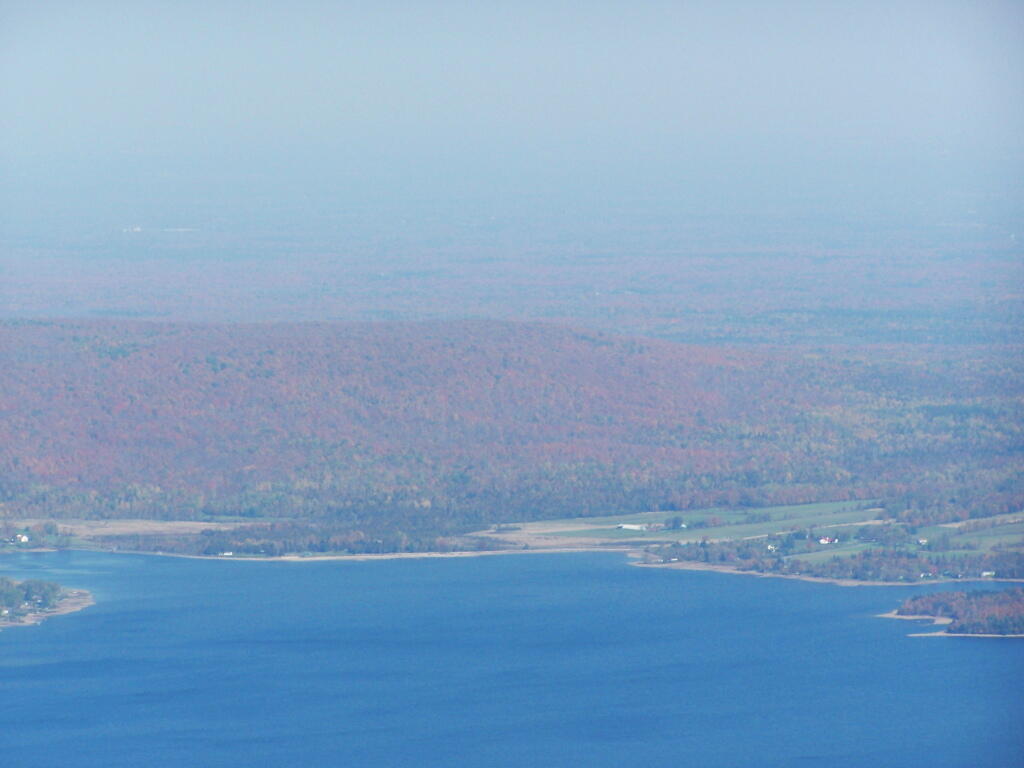
Chazy Lake and Farms Along It

Hazy day, but there’s Lake Chazy and the farms along it.

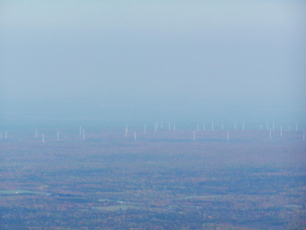
Altona Wind Farm

Wind turbines of the Chazy Highlands…

People Out on Lyon Mountain

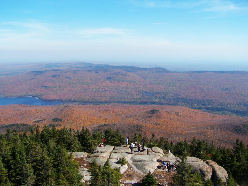
Lyon Mountain is a popular hike, as seen by all the hikers on the ledge.