Proponents are calling for closing off the public lands because of over use… 🌲🌲 🏞🌳🐦 🕊 🦆 🦌
I believe the radical environmentalists who want to destroy our country are the greatest threat to public lands. We must fight back against those who want to lock them up and close them down and ban public use. Public lands belong to the public not the radicals!
We need multiple use lands and managed forests supported with funding by timber sales, oil and gas production and leased grazing rights. The philosophy should be greatest good for the greatest number over time, as public lands belong to the public.. We should adopt the philosophy of the Gifford Pichot and the US Forest Service.
Lately, the ideology of the radicals has been to find every thing in the forest preserve that is broken, every mud puddle, every filled up parking lot and put it on an 8×11 photograph and post it on the internet and create these reports that they send to the politicians insisting that public lands be closed down and that public access to limited or completely banned. Ignoring the fact that most of the public land isn’t shown on the frame.
If there is a problem with litter, then state should hire more people to remove litter and put out more garbage cans. It used by most parks had garbage cans, and they dumped the garbage in a gravel pit. Not every garbage pit is Love Canal. Is it really necessary for the state to haul every piece of back country litter two hundred miles to a designated landfill when for generations old cans and wrappers were buried in nearby sand burrow pits?
If trails are being worn out, then they should have more staff repairing trails, bring in more gravel, more rock, and make more hardened repairs. The state owns thousands of acres of land which can be used to provide rock, dirt and timber for improving state facilities. Build new trails and parking areas to spread out impacts.
The solution shouldn’t be closing off, locking up and hiring more jack booted thugs every time an area gets heavy use compared to the under-sized, under built infrastructure when the state has so much in natural resources that could be exploited for public benefit.
Pritam Singh, a 70-year-old real estate developer from Key West, Florida with homes all over the country and a reputation for building luxury resorts and condominiums, has plans to turn Washington County’s former Crossett Lake Boy Scout Reservation in the eastern Adirondacks into a private family compound. The 945-acre site includes the 122-acre Crossett Lake, views of nearby Lake George, and frontage on Inman and Thurber ponds.
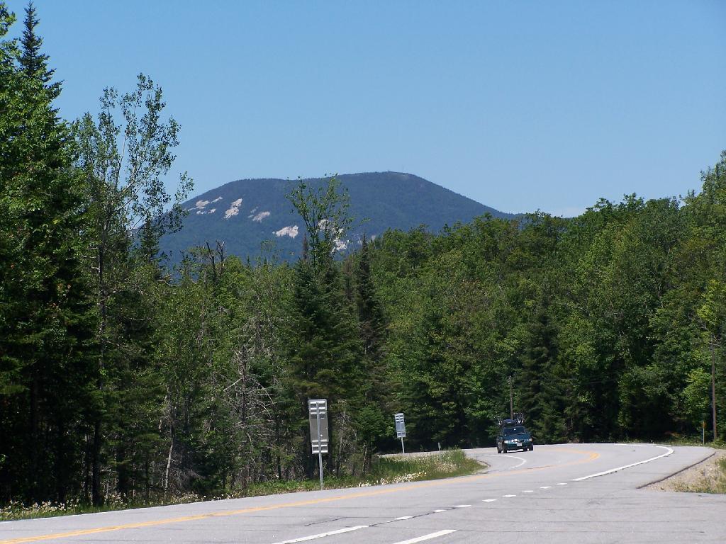
There is a fire tower on the mountain overlooking Blue Mountain Lake. It has some interesting views, and can be checked out by driving just north of Blue Mountain Lake on NY 30. It is one of the most popular hikes in the Adirondacks, and many people also visit Moose River Plains or the Adirondack Museum after hiking the tower.
Here is Blue Mountain heading North on NY 28.
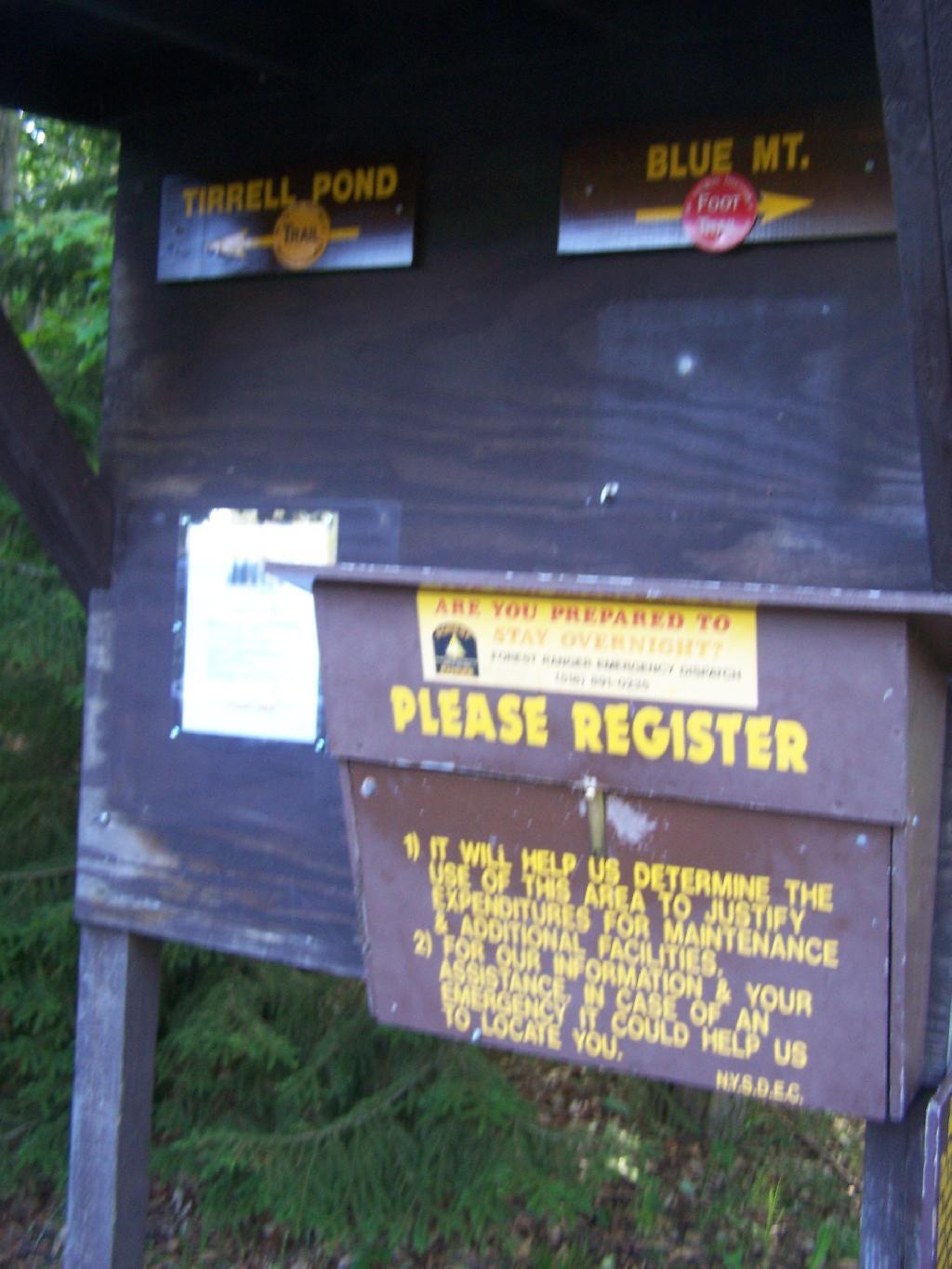
The registration box at the bottom of the mountain.
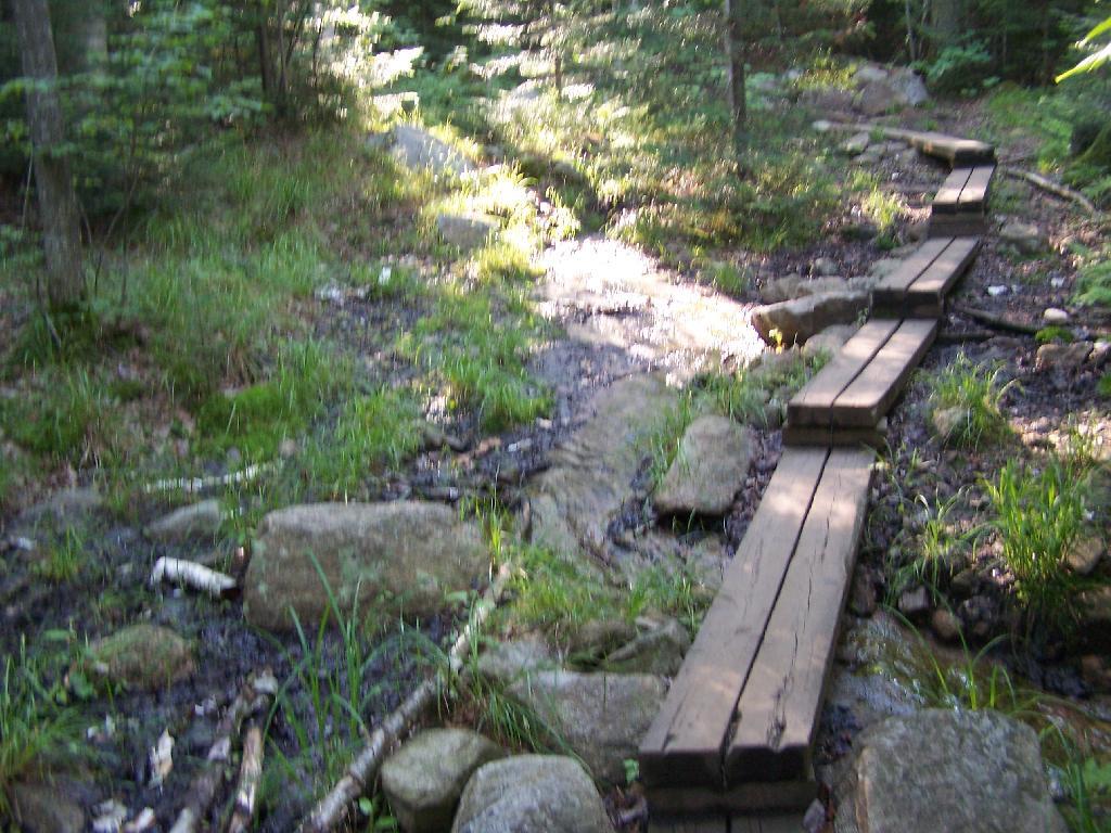
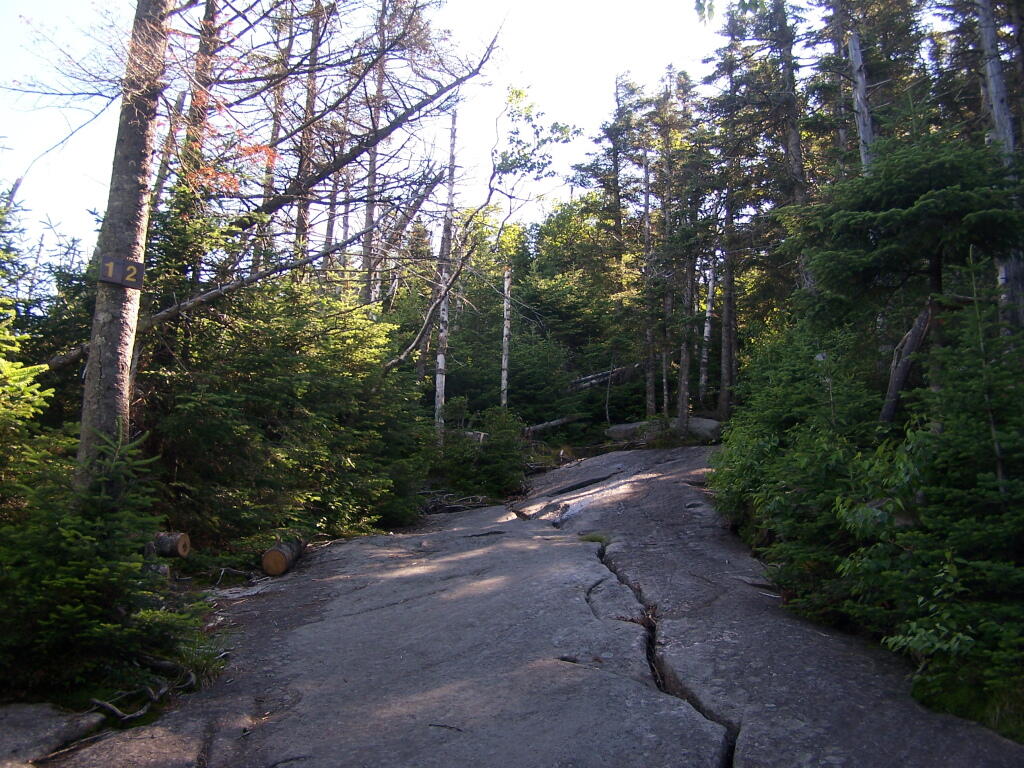
The trail is well maintained, despite it’s extensive use, with board walks across muddy locations.
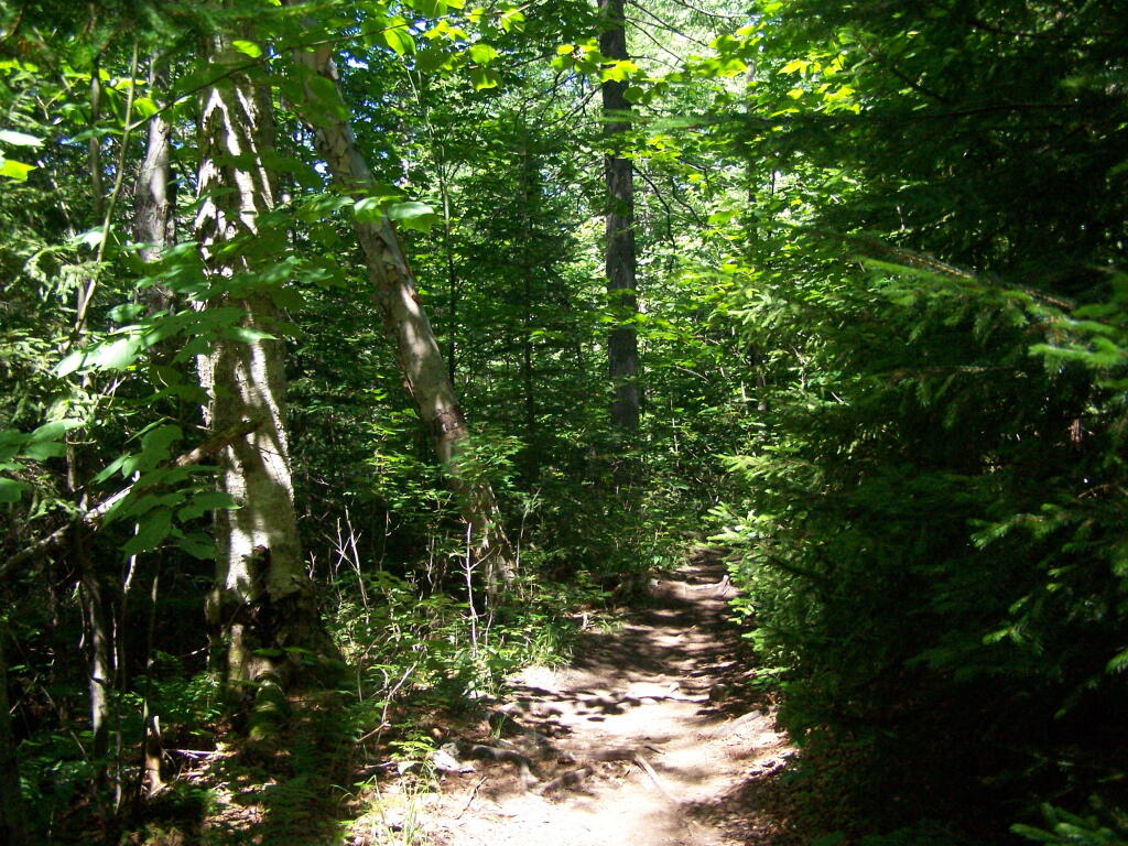
The first part of the trail is relatively flat for a while, then gets steep for a bit.
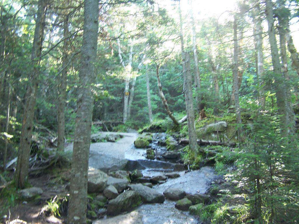
A lot of the lower part of the mountain was rocky with lots little rocks to step over.
About halfway up the mountain you get partial views down the mountain.
Eventually the mountain opens up a little, and your walking on exposed granite, steep, but not too steep.
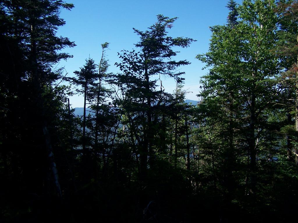
Once your almost to the top, you can look back and see Blue Mountain Lake through the trees.
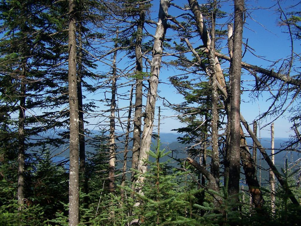
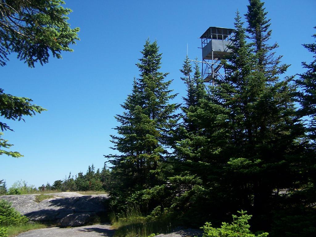
You reach the top of the mountain, and there is a gradual ascent, as you cross to the eastern side of the mountain, where the summit and the tower is located. Finally, you see the tower through the trees.
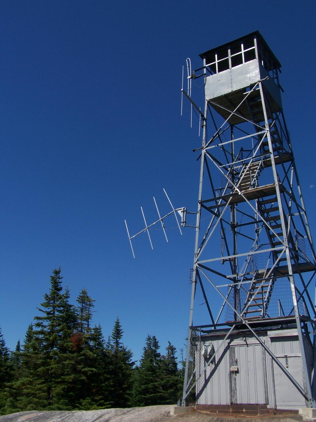
The tower is a relatively short 50 or 60 foot, but it’s plenty high to get good views of the surrounding landscape.
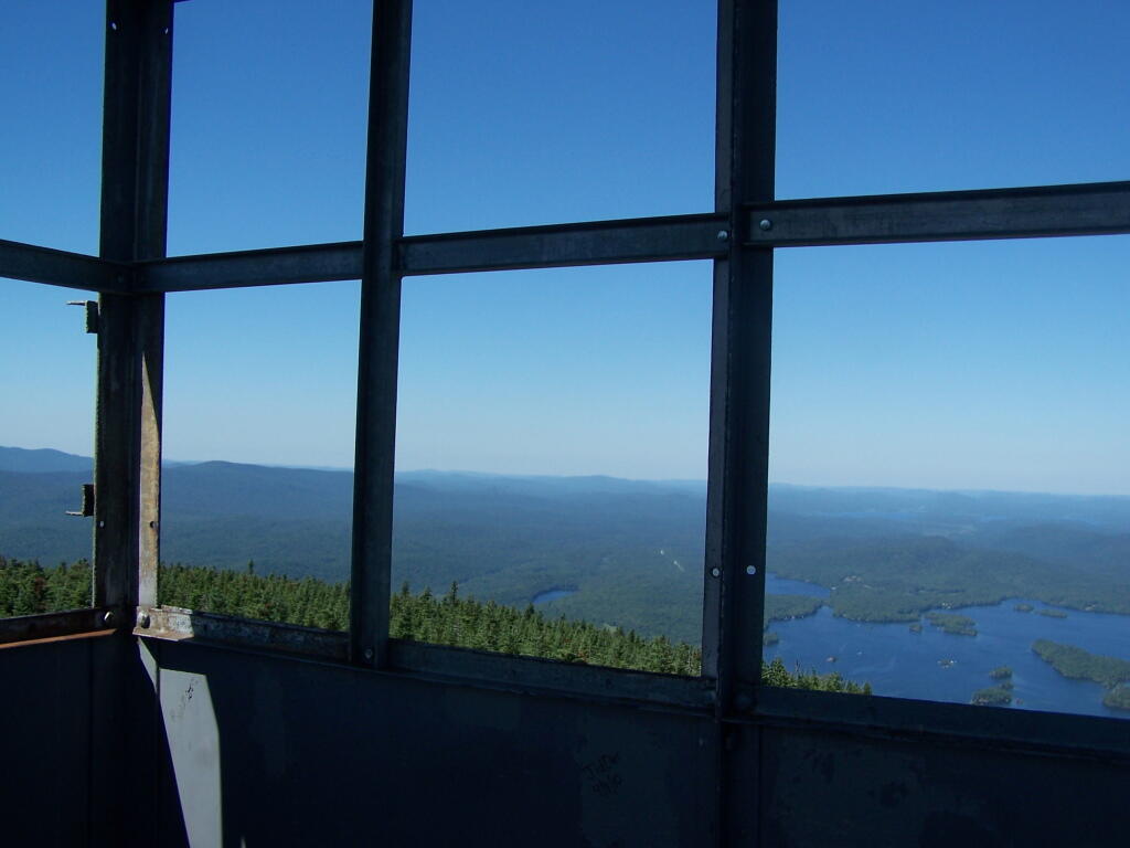
Looking out to the Tower windows.
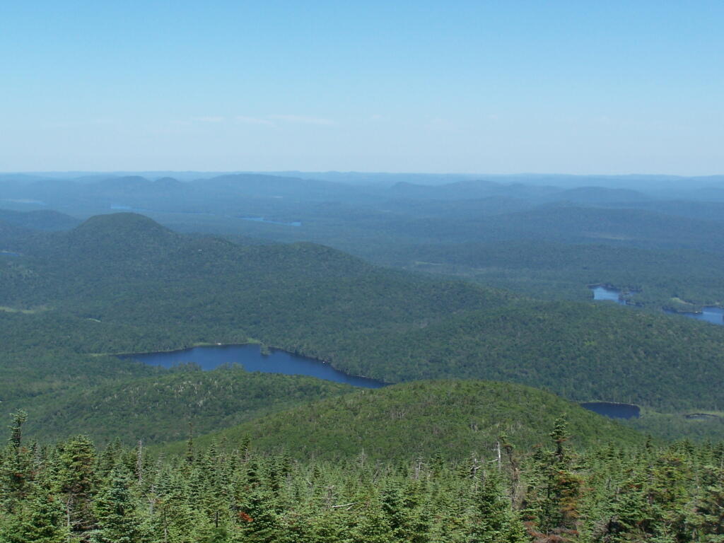
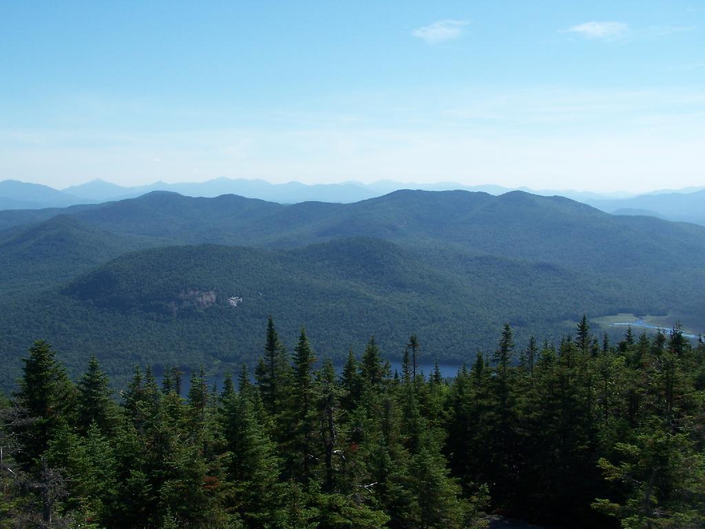
Blue Mountain Lake from the fire tower.
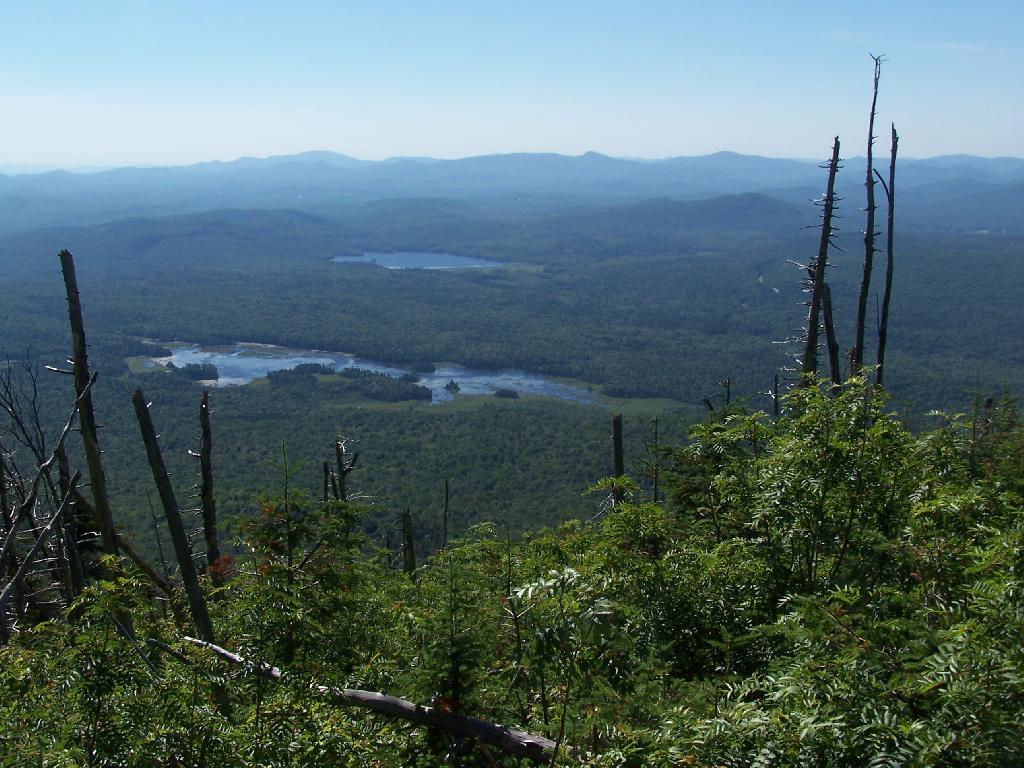
Moose River Plains to the south-west of the tower.
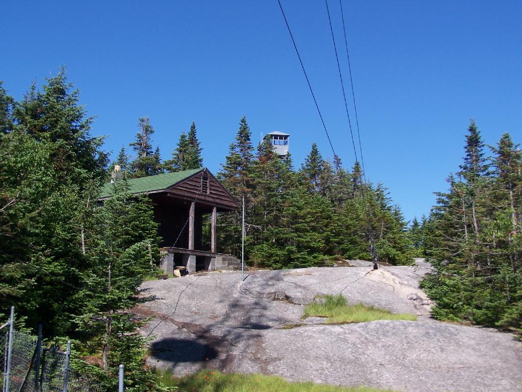
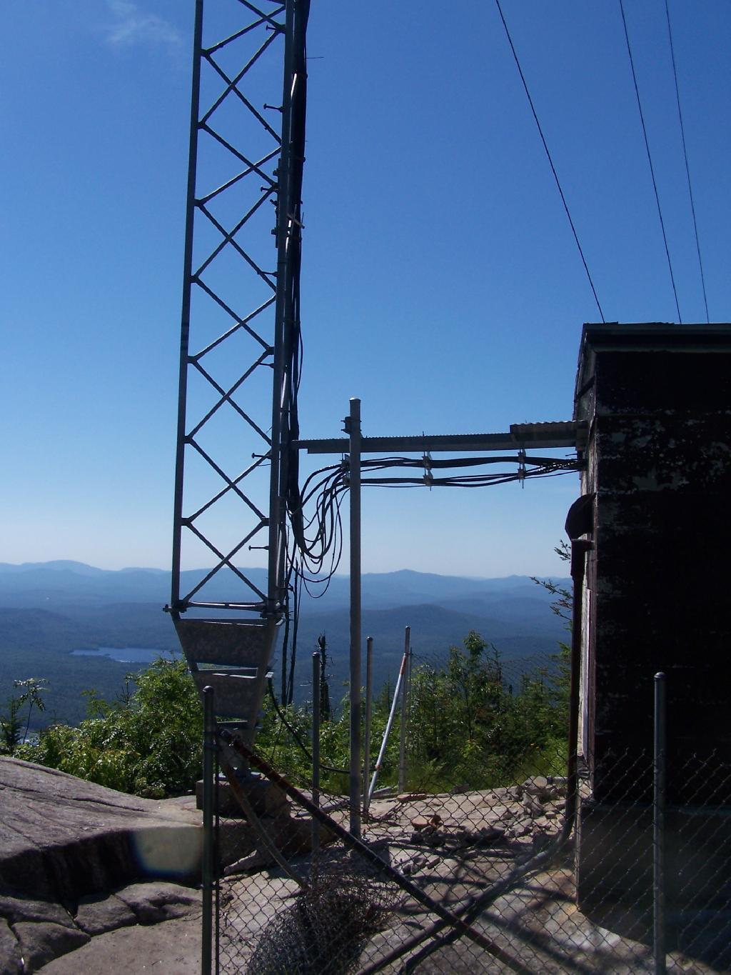
On the eastern side of the mountain, there is a radio tower and the old ranger’s cabin.
From the eastern side, their is a ledge, where you can see and look down towards like Lake Durant and Moose River Plains.
The radio tower up close, with the fence broken down around it. I didn’t hear radio signals in my ears, despite being so close to this big radio tower.
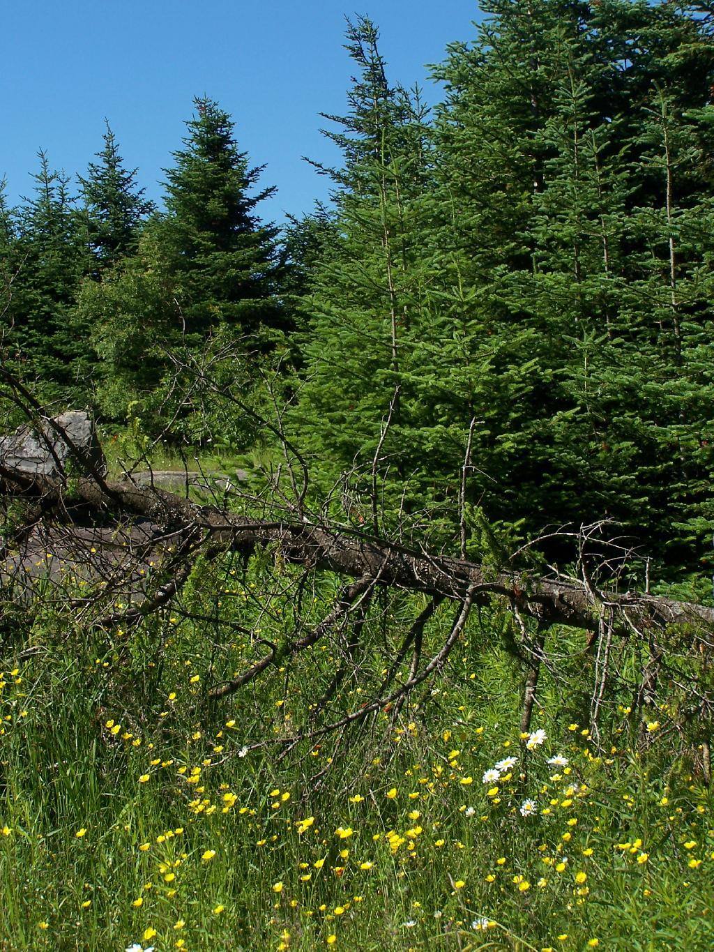
Flowers on the top of the mountain.
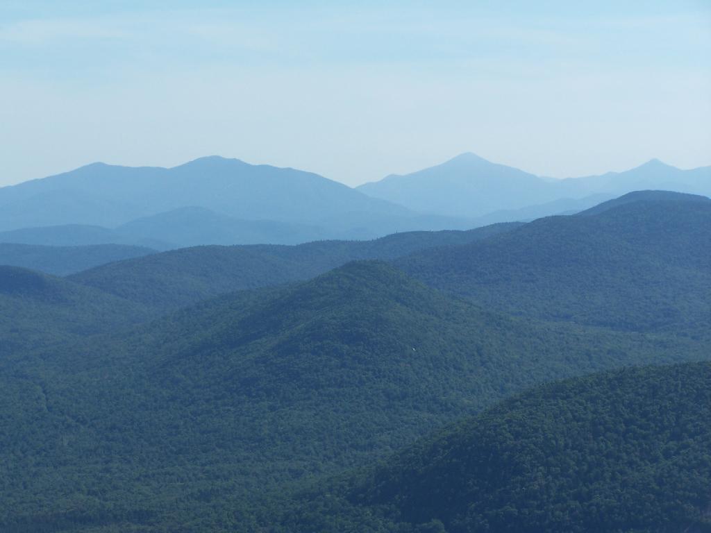
To the north-east there are views of the High Peaks Mountains. They probably woudln’t be as clear on a hazy day.
Tirnell Mountain is privately owned to the east, and you can see some active logging on it.
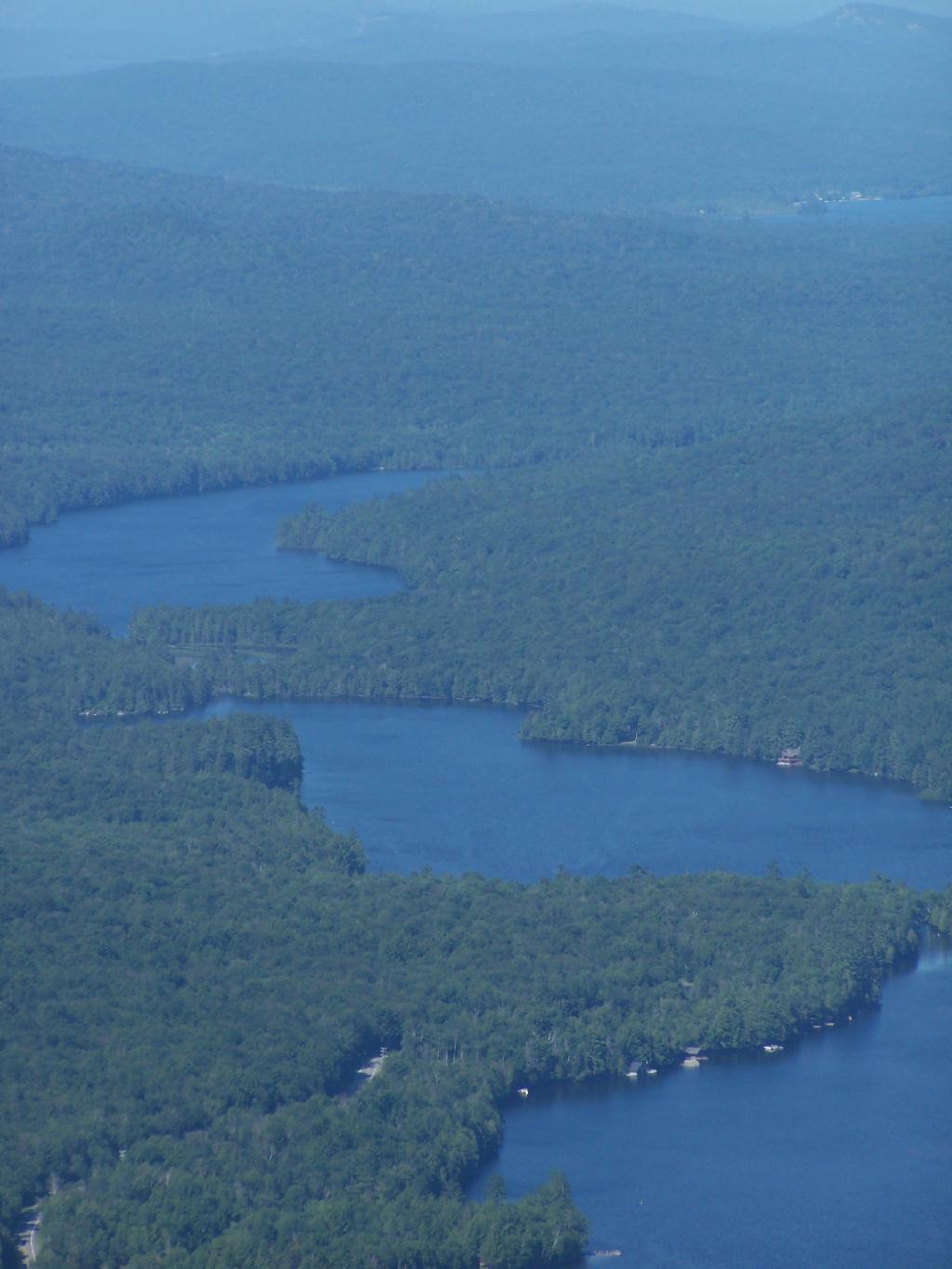
Seventh and Eight Lake as seen from Blue Mountain.
The Adirondack Park Agency is eyeing a building in downtown Saranac Lake as its possible future headquarters.
The three-story building is the former site of the Paul Smith's Power and Light company and was constructed in 1927.
The Saranac Lake Village Police are currently headquartered in the building, though the village is considering relocating the police to a large public safety building.