Public Lands Overview

Blaze Color for Catskill Park Trails 🚡‍♀️

Blaze Color for Catskill Park Trails 🚡‍♀️

There are roughly 400 miles of trails in the Catskill Park. This list shows what color they are blazed.

Generally in the Catskill Park:

  • North/South Trails – Blue
  • East/West Trails – Red
  • Connector Trails – Yellow
  • Snowmobile Trails – Orange
Marker Name Miles
Blue Becker Hollow Trail 1.97
Blue Bengle Hill Trail 3.54
Blue Big T Trail 0.32
Blue Black Bear Hideout Trail 0.63
Blue Campbell Mountain Trail 6.09
Blue Campground Trail 0.7
Blue Cic Hill Trail 0.22
Blue Cranberry Bog Trail 0.97
Blue Curtis Ormsbee Trail 1.38
Blue Devil’s Path 0.31
Blue Diamond Notch Trail 2.72
Blue Dry Brook Ridge Trail 12.54
Blue Escarpment Trail 21.46
Blue Flynn Trail 1.78
Blue Giant Ledge-Panther Mountian-Fox Hollow Trail 6.53
Blue Giggle Hollow Trail 1.79
Blue Hodge Pond Trail 1.44
Blue Inside Line Trail 0.76
Blue Jimmy Dolan Notch Trail 1.28
Blue Jockey Hill Bicycle Trail 1.93
Blue Long Path 7.88
Blue Longpath Vernooy Kill Falls Section 1.39
Blue Meads Meadow Trail 0.41
Blue Mink Hollow Trail 4.79
Blue Mongaup Hardenburg Trail 5.79
Blue Mount Pleasant-Romer Mountain 7.82
Blue Mud Pond Trail 4.86
Blue North Face Trail 0.99
Blue Onteora Lake Blue Tral 1.32
Blue Overlook Trail 3.59
Blue Pecoy Notch Trail 1.36
Blue Peekamoose-Table Trail 4.33
Blue Pelnor Hollow Trail 5.44
Blue Phoenicia East Branch Trail 2.35
Blue Pine Hill West Branch Trail 10.65
Blue Poet’s Ledge Trail 2.5
Blue Rochester Hollow 2.56
Blue Spencer Road 1.38
Blue Spruceton Trail 3.57
Blue Trout Pond Access Route 1.33
Blue Trout Pond Trail 3.66
Blue Vernooy Kill Falls Snowmobile Trail 2.49
Blue Warner Creek Trail 9.65
Blue Other 4.92
Orange Azalea Trail 3.25
Orange Big Rock Trail 1.84
Orange Denman Mountain Snowmobile Trail 3.99
Orange Karst Trail 1.29
Orange Long Pond North Loop 1.58
Orange Quick Lake Snowmoblie Trail 3.6
Orange Spencer Road 1.38
Orange Vernooy Kill Falls Snowmobile Trail 1.72
Other Condon Hollow Rd. 2.45
Red Alder Lake Loop Trail 1.3
Red Ashokan High Point 5.12
Red Balsam Lake Mountain Trail 1.43
Red Big Pond – Alder Lake 3.46
Red Big Pond- Alder Lake 0.22
Red Black Dome Mountain Trail 1.71
Red Black Dome Trail 1
Red Blackhead Range Trail 3.87
Red Boulder Rock Bypass Trail 0.15
Red Burroughs Range Trail-Wittenberg-Cornell 7.84
Red Cic Ada Loop 0.66
Red Devil’s Path 21.01
Red East Gauntlet Trail 0.78
Red Escarpment Trail 0.5
Red Firetower Spur 0.33
Red Fluggertown Road Long Pond Trail 1.74
Red Frick Pond Loop 0.68
Red Harding Road Trail 2.79
Red Hog Hollow Trail 3.81
Red Huckleberry Loop Trail 3.39
Red Huckleberry North Trail 0.88
Red Huckleberry South Trail 4.12
Red Kaaterskill High Peak Trail 6.44
Red Levitate Trail 1.65
Red Loggers Loop 0.21
Red Long Pond Beaver Kill Range Trail 2.41
Red Long Pond South Loop 1.47
Red Lost Clove Trail 1.23
Red Mary Smith Trail 4.17
Red Mary’s Glen Trail 1.3
Red Mckinley Hollow Trail 3.6
Red Mid Mountain Trail 1.51
Red Middle Mountain Trail 2.27
Red Miller Hollow 1.18
Red Mongaup Willowemoc Trail 0.64
Red Mountain House Turnpike 0.35
Red Onteora Lake Red Tral 1.78
Red Outer Loop North Trail 1.37
Red Outer Loop South Trail 1.18
Red Overlook Spur Trail Extension 0.61
Red Overlook Trail 1.8
Red Phoenicia Trail 2.86
Red Quick Lake Foot Trail 5.17
Red Quick Lake Snowmoblie Trail 1.04
Red Rochester Hollow 1.19
Red Round Top-High Peak Loop 0.58
Red Schutt Road Trail 1
Red Sleepy Hollow 4.3
Red Snowmobile Trail 2.11
Red Snowmobile Trail S21 1.16
Red Touch-Me-Not-Trail 3.67
Red West Gauntlet Trail 0.79
Red Unknown 0.91
Yellow Ashley Falls Spur Trail 0.05
Yellow Batavia Kill Trail 0.98
Yellow Beaverkill Road 1.83
Yellow Becker Hollow Connector Trail 0.28
Yellow Big Rock Trail 0.98
Yellow Blackhead Mountain Spur Trail 0.56
Yellow Cic – Esopus Trail 0.34
Yellow Colgate Lake Trail To Dutcher Notch 4.31
Yellow Colonel’s Chair Trail 0.99
Yellow Connector 1 Trail 0.04
Yellow Connector 2 Trail 0.02
Yellow Connector 3 0.05
Yellow Connector 4 0.02
Yellow Dutcher Notch Trail 1.78
Yellow Echo Lake Trail 0.73
Yellow Elm Ridge Trail 0.84
Yellow Finger Lakes Spur Trail 0.84
Yellow Frick Pond Loop 0.94
Yellow German Hollow Trail 1.55
Yellow Gold Mine Trail 0.87
Yellow Harding Road Spur Trail 0.44
Yellow Huckleberry Point Trail 1.31
Yellow Hunter Mountain Trail 1.23
Yellow Inside Out Trail 0.18
Yellow Jockey Hill Bicycle Trail 3.4
Yellow Kaaterskill Falls Trail 0.81
Yellow Kaaterskill Rail Trail 0.73
Yellow Kelly Hollow Long Loop Trail 3.05
Yellow Kelly Hollow Short Loop Trail 0.4
Yellow Lillipop 0.18
Yellow Little Pond Trail 0.79
Yellow Little Spring Brook Trail 0.67
Yellow Loggers Loop 1.21
Yellow Millbrook Ridge Trail 5.53
Yellow Mine Hollow Trail 0.92
Yellow Mongaup Willowemoc Trail 2.57
Yellow Neversink Hardenburgh Trail 6.38
Yellow Notch Inn Road Trail To Long Path 0.8
Yellow Observation Deck Trail 0.29
Yellow Old Mink Hollow Road 0.15
Yellow Onteora Lake Yellow Tral 2.31
Yellow Overloop Trail 0.73
Yellow Palenville Overlook Spur Trail 1.64
Yellow Phoenicia East Branch Trail 5.79
Yellow Poets Ledge Trail 0.44
Yellow Red Hill Fire Tower Trail 1.29
Yellow Roaring Kill Trail 0.25
Yellow Rochester Hollow 0.66
Yellow Rock Shelter Trail 1.73
Yellow Run Noot Trail 0.9
Yellow Seager Big Indian Trail 2.86
Yellow South Connector 0.14
Yellow Sugarloaf Summit Spur 0.04
Yellow Sunset Rock Spur Trail 0.18
Yellow Terrace Mountain Trail 0.88
Yellow The Bee Trail 0.2
Yellow Trail Six 0.24
Yellow Twin Oaks Trail 0.24
Yellow Willow Trail 1.5
Yellow Yellow Crossover Trail 0.1
Yellow Yellow Horse Trail 1.15
Yellow Yellow Spur 0.12
Unknown Alder Lake Loop Trail 0.09
Unknown Beaverkill Road 2.65
Unknown Berg Brook Spur 0.24
Unknown Giant Ledge-Panther Mountian-Fox Hollow Trail 0.93
Unknown Haul Road #1 4.71
Unknown Hodge Pond Trail 0.58
Unknown Huggins Lake Trail 1.96
Unknown NYS Rt 23-A 0.39
Unknown Onteora Lake Parking Access 0.28
Unknown Powerline 1.14
Unknown Quick Lake Foot Trail 0.22
Unknown Vernooy Kill Falls Snowmobile Trail 0.65
Unknown Other 4.97
Total   402.47

Catskill Park Hamlets

There are some odd and colorful hamlet and village names within the Catskill Park. Warmer colors show higher elevation while cooler colors are lower elevation hamlets.

Data Sources: Open Street Map, US Census, NYS DEC Catskill Park Boundaries.

Kayaking Big Pond

Big Pond is one of the two larger ponds in the Catskills accessible to the public. Located in the Western Catskills, near Alder Pond, it has eight paddle in or hike in tent sites, and some pretty views.

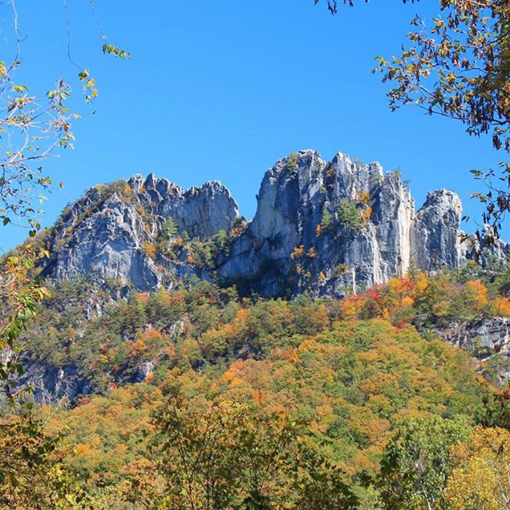
Seneca Rocks, WV

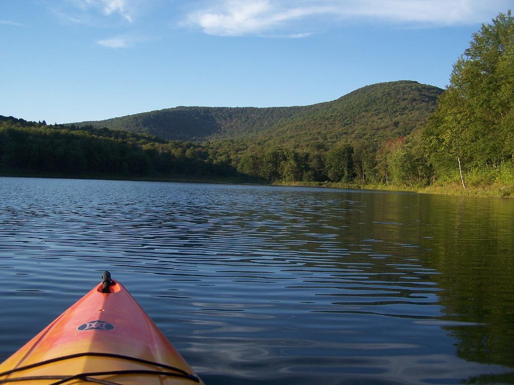
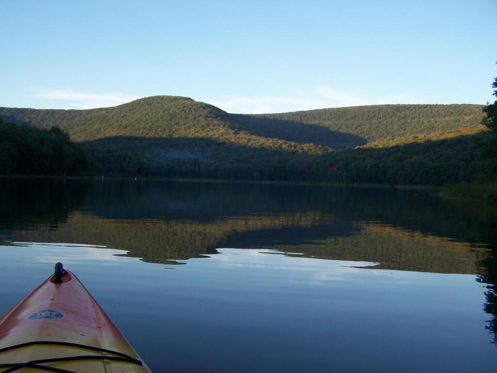
I paddled in on August 17, 2010. These are the pictures I took paddling around the lake.

Paddling

Night is Creeping Up on Me. I didn’t realize how quickly it got late at Big Pond, and I had even started dinner. To make matters worst, my white-gas lantern wouldn’t start, so I had to do everything by flash light.

Night is Creeping Up on Me

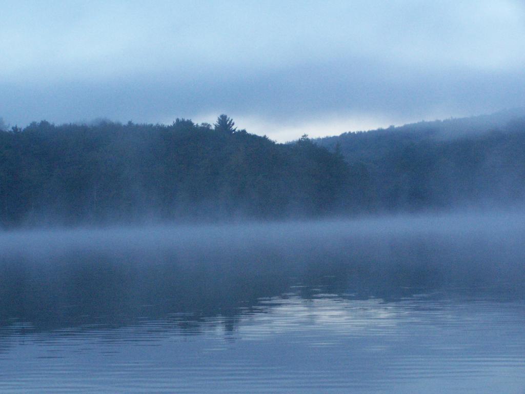
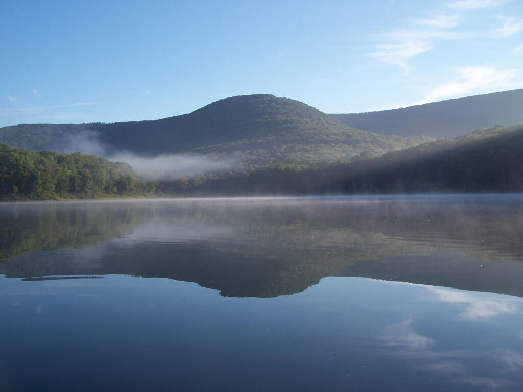
Towards the Dam. On this valley fog morning.

Towards the Dam

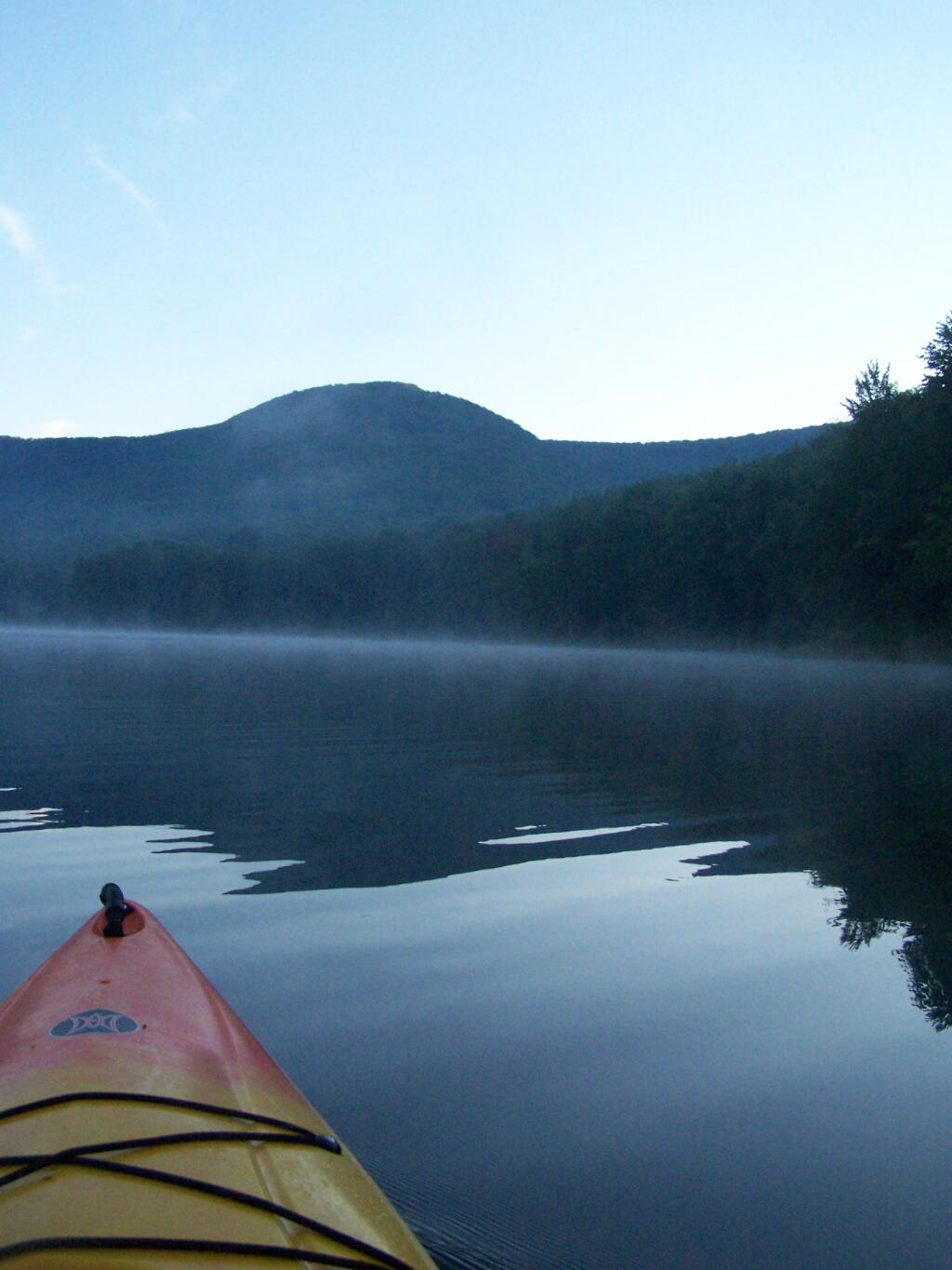
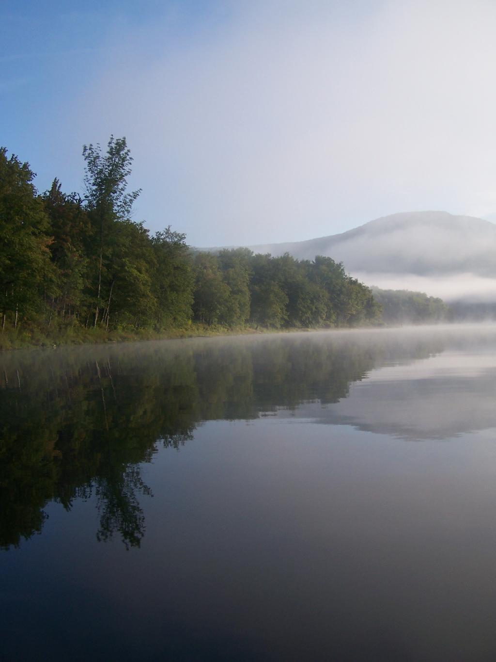
Barkaboom Mountain Before Dawn. The early rays of sun have yet to hit it on this beautiful morning.

Barkaboom Mountain Before Dawn

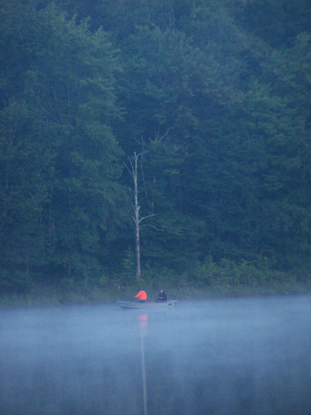
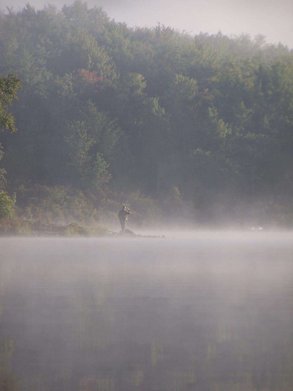
Fishermen. Out before the crack of dawn, dropping their line and testing their luck on Big Pond.

Fishermen

Light Hits Bank. The first rays hit the western bank of the lake, providing some of the greens of the day once again.

Light Hits Bank

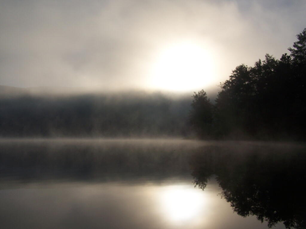
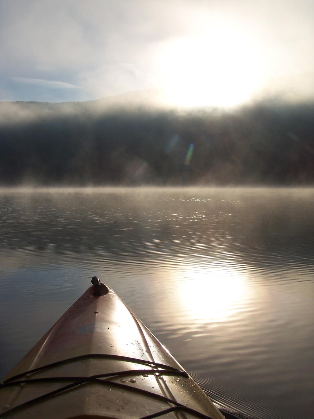
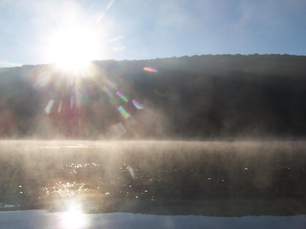
Sunrises. Through the fog as I’m paddling around the lake.

Sunrises

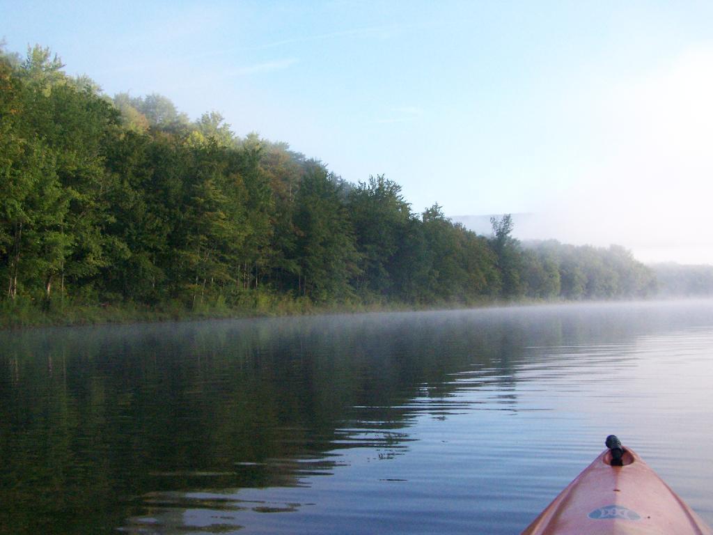
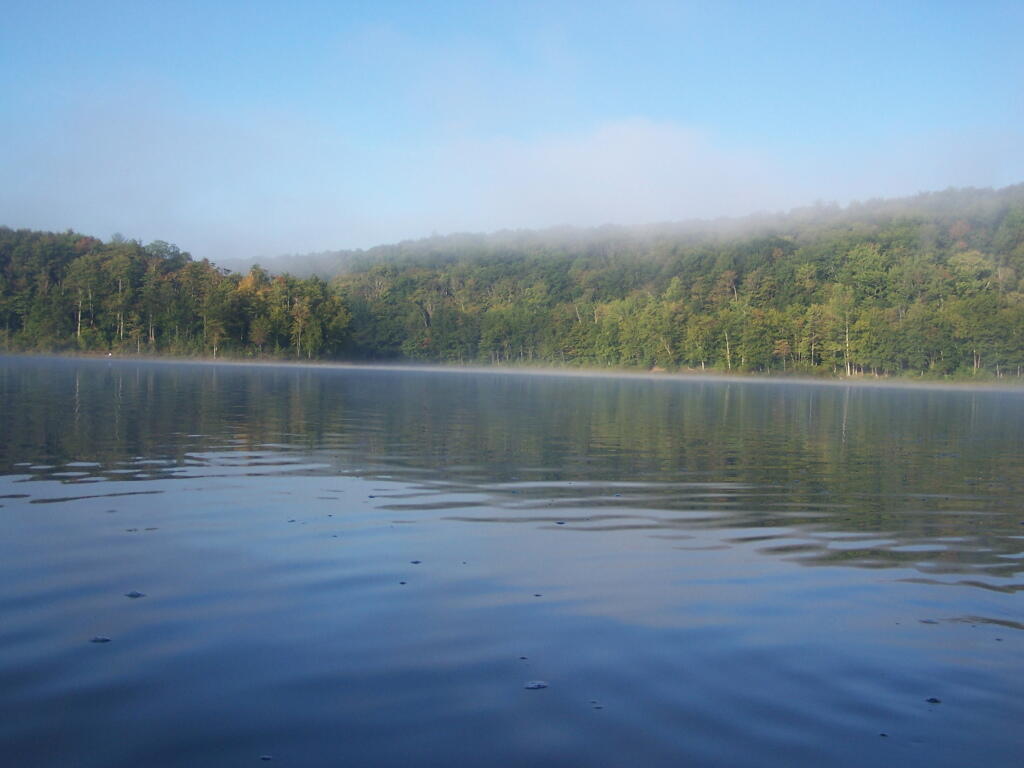
Fog is Burning Off. Along the Western Edge of the lake towards Barkaboom Mountain.

Fog is Burning Off

Rays of Sun. Sparkle down on the lake as it continues to clear on out.

Rays of Sun

Fishing. Man covers his eyes as he looks out across the water.

Fishing

South. Looking down and across the lake as morning arrives.

South

Sunlight sparkles through the trees. Good Morning on Big Pond.

Sunlight

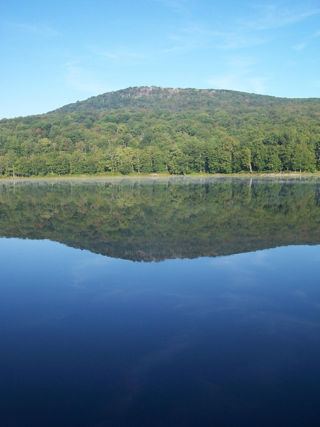
Barkaboom Mountain Reflects On the Lake.

Barkaboom Mountain Reflects On the Lake

Across the Lake. As I am making breakfast on this Sunday morning in the Catskills.

Across the Lake

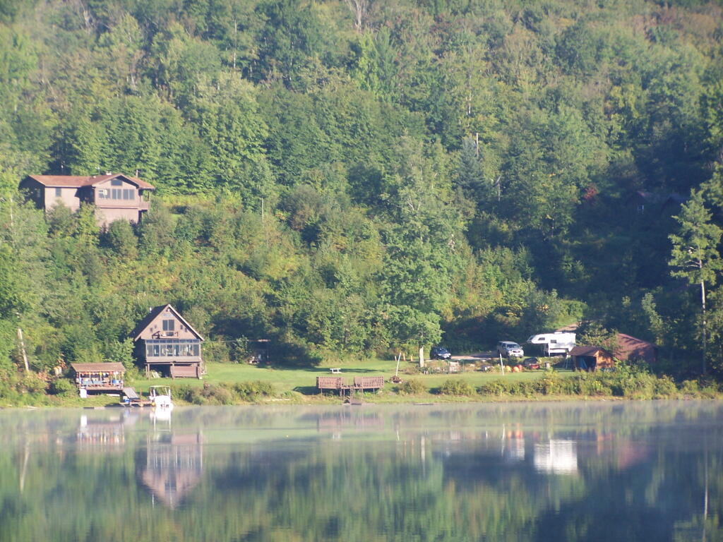
Inholding. While most of Big Pond is part of the Middle Mountain Wild Forest, about 200 feet of shore line is privately owned. The folks in the cabin where really friendly when they stopped by in their electric pontoon boat, but it did kind of wreck the scenic view especially from where I was camping.

Inholding

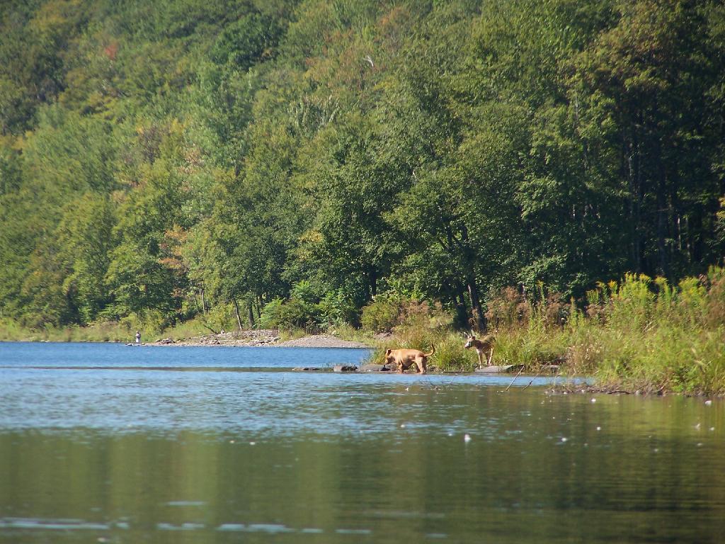
Dogs Swimming in Big Pond. This is at one of the other campsites at Big Pond.

Dogs Swimming in Big Pond

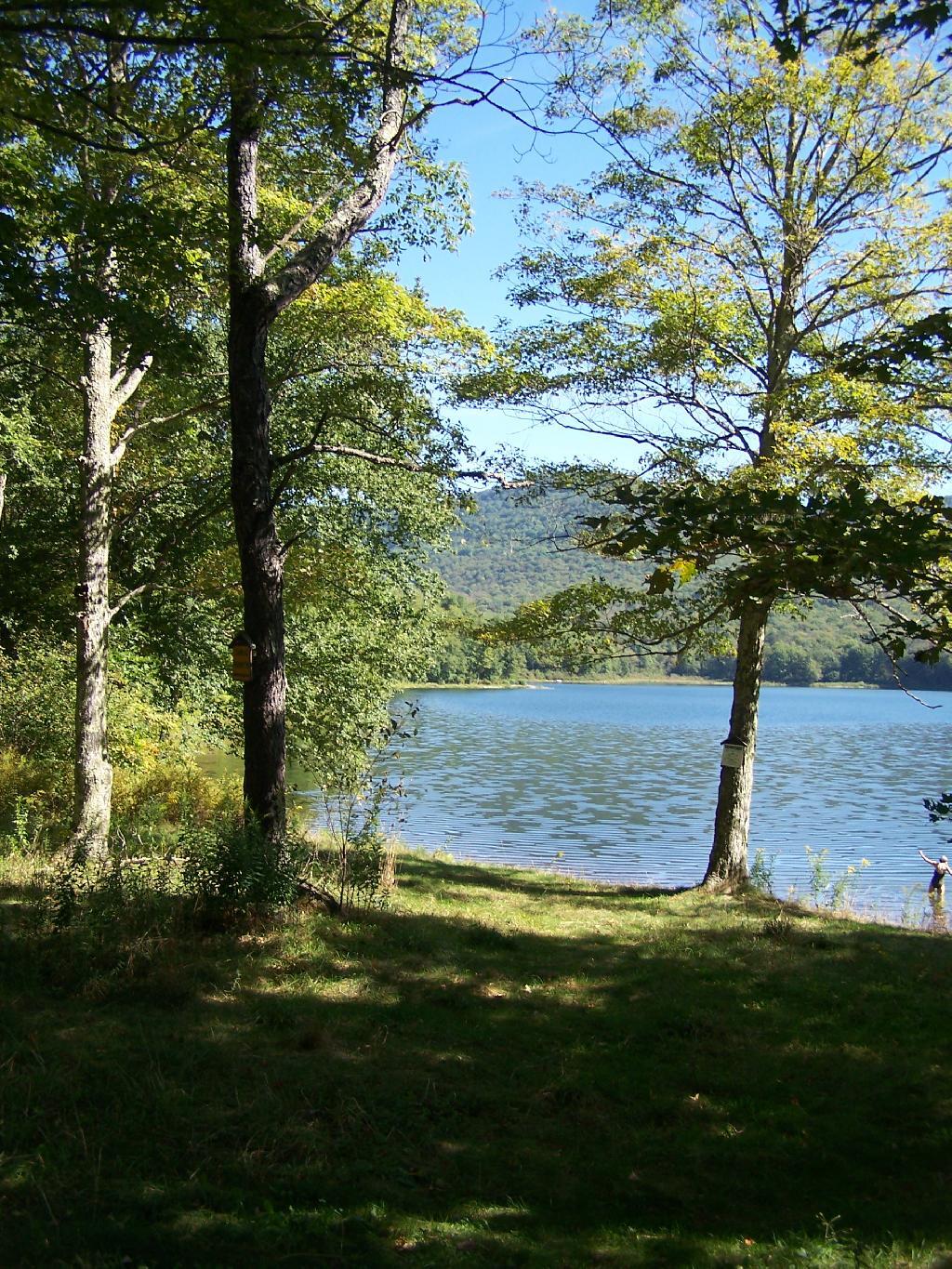
Big Pond, as seen from the Parking Area.

Big Pond from Parking Area

Here is a map of Big Pond. The inholding is not shown on this map, and the DEC land boundaries are incorrect, extending farther north then the map shows.

List of Peaks in the Catskill Park

Below is a list of peaks within the Catskill Park that are on state land. This is based on the OpenStreetMap data combined with the DEC property data. Click location for a map of the property, or click State Land to get more information about the land the peak is located on.

Region 3 – Ulster County

Peak Name Elevation in Feet State Land Class UMP Region County Location
Balsam Cap 3621 Slide Mountain Wilderness Wilderness Slide Mountain 3 Ulster 41.9770369, -74.3573722
Balsam Lake Mountain 3726 Balsam Lake Mountain Wild Forest Wild Forest Balsam Lake Mountain 3 Ulster 42.0459236, -74.5940438
Balsam Mountain 3601 Big Indian Wilderness Wilderness Big Indian 3 Ulster 42.0909235, -74.4882082
Beaver Kill Range 3310 Big Indian Wilderness Wilderness Big Indian 3 Ulster 41.9903736, -74.5999302
Beaver Kill Range 3211 Big Indian Wilderness Wilderness Big Indian 3 Ulster 41.9937721, -74.5912442
Belleayre Mountain 3431 Belleayre Mountain Ski Center Intensive Use Belleayre Mountain Ski Center 3 Ulster 42.1287084, -74.5187223
Big Indian Mountain 3680 Big Indian Wilderness Wilderness Big Indian 3 Ulster 42.0349959, -74.4966494
Breath Hill 2568 Slide Mountain Wilderness Wilderness Slide Mountain 3 Ulster 41.9366557, -74.3493054
Carl Mountain 2883 Phoenicia – Mt. Tobias Wild Forest Wild Forest Phoenicia – Mt. Tobias 3 Ulster 42.0959235, -74.2482011
Cornell Mountain 3851 Slide Mountain Wilderness Wilderness Slide Mountain 3 Ulster 42.001553, -74.3569987
Cross Mountain 2503 Slide Mountain Wilderness Wilderness Slide Mountain 3 Ulster 42.0195363, -74.3165372
Dink 3641 Slide Mountain Wilderness Wilderness Slide Mountain 3 Ulster 41.9970242, -74.3629146
Eagle Mountain 3601 Big Indian Wilderness Wilderness Big Indian 3 Ulster 42.0620352, -74.50932
East Wildcat 3339 Slide Mountain Wilderness Wilderness Slide Mountain 3 Ulster 41.9877507, -74.4406309
Edgewood Mountain 2998 Phoenicia – Mt. Tobias Wild Forest Wild Forest Phoenicia – Mt. Tobias 3 Ulster 42.1206399, -74.2305807
Fir Mountain 3628 Big Indian Wilderness Wilderness Big Indian 3 Ulster 42.0275916, -74.4690414
Friday Mountain 3690 Slide Mountain Wilderness Wilderness Slide Mountain 3 Ulster 41.9875924, -74.3620944
Garfield Mountain 2581 Slide Mountain Wilderness Wilderness Slide Mountain 3 Ulster 42.0912014, -74.3665379
Haynes Mountain 3424 Big Indian Wilderness Wilderness Big Indian 3 Ulster 42.0792571, -74.5079309
Hemlock Mountain 3247 Big Indian Wilderness Wilderness Big Indian 3 Ulster 42.0128698, -74.4390407
High Falls Ridge 3198 Big Indian Wilderness Wilderness Big Indian 3 Ulster 41.9919309, -74.5454022
Hirams Knob 2883 Big Indian Wilderness Wilderness Big Indian 3 Ulster 42.0981453, -74.5418203
Lone Mountain 3720 Slide Mountain Wilderness Wilderness Slide Mountain 3 Ulster 41.9691794, -74.3900258
Millbrook Ridge 3542 Balsam Lake Mountain Wild Forest Wild Forest Balsam Lake Mountain 3 Ulster 42.0523606, -74.6329273
Mongaup Mountain 3175 Big Indian Wilderness Wilderness Big Indian 3 Ulster 41.9934945, -74.6993963
Mongaup Mountain 2762 Big Indian Wilderness Wilderness Big Indian 3 Ulster 41.9909235, -74.6840456
Mount Pleasant 2811 Slide Mountain Wilderness Wilderness Slide Mountain 3 Ulster 42.0342583, -74.3082035
Mount Tobias 2542 Phoenicia – Mt. Tobias Wild Forest Wild Forest Phoenicia – Mt. Tobias 3 Ulster 42.0584244, -74.2157003
Overlook Mountain 3136 Overlook Mountain Wild Forest Wild Forest Overlook Mountain 3 Ulster 42.0850905, -74.0931954
Panther Mountain 3723 Slide Mountain Wilderness Wilderness Slide Mountain 3 Ulster 42.0564799, -74.3945946
Peekamoose Mountain 3844 Slide Mountain Wilderness Wilderness Slide Mountain 3 Ulster 41.9531481, -74.398207
Red Hill 2985 Sundown Wild Forest Wild Forest Sundown 3 Ulster 41.9242591, -74.5176554
Rocky Mountain 3493 Slide Mountain Wilderness Wilderness Slide Mountain 3 Ulster 41.9728703, -74.3726505
Romer Mountain 1978 Slide Mountain Wilderness Wilderness Slide Mountain 3 Ulster 42.0581466, -74.3187592
Sand Pond Mountain 3060 Big Indian Wilderness Wilderness Big Indian 3 Ulster 41.9851406, -74.6483978
Silver Hollow Notch Mountain 3008 Phoenicia – Mt. Tobias Wild Forest Wild Forest Phoenicia – Mt. Tobias 3 Ulster 42.1228609, -74.2271869
Slide Mountain 4152 Slide Mountain Wilderness Wilderness Slide Mountain 3 Ulster 41.999065, -74.3854779
Spruce Mountain 3385 Big Indian Wilderness Wilderness Big Indian 3 Ulster 42.0175919, -74.4498744
Table Mountain 3847 Slide Mountain Wilderness Wilderness Slide Mountain 3 Ulster 41.958642, -74.4048687
Terrace Mountain 2365 Slide Mountain Wilderness Wilderness Slide Mountain 3 Ulster 42.0275917, -74.33626
Ticetonyk Mountain 2509 Phoenicia – Mt. Tobias Wild Forest Wild Forest Phoenicia – Mt. Tobias 3 Ulster 42.0029749, -74.2173846
Tremper Mountain 2719 Phoenicia – Mt. Tobias Wild Forest Wild Forest Phoenicia – Mt. Tobias 3 Ulster 42.0745351, -74.2782022
Unnamed Peak 1791 Shawangunk Ridge State Forest Shawangunk Ridge 3 Ulster 41.6558434, -74.4070089
Unnamed Peak 3109 Balsam Lake Mountain Wild Forest Wild Forest Balsam Lake Mountain 3 Ulster 42.0274543, -74.6670466
Unnamed Peak 3159 Balsam Lake Mountain Wild Forest Wild Forest Balsam Lake Mountain 3 Ulster 42.0368578, -74.661665
Unnamed Peak 3178 Balsam Lake Mountain Wild Forest Wild Forest Balsam Lake Mountain 3 Ulster 42.0635553, -74.6666829
Unnamed Peak 3218 Balsam Lake Mountain Wild Forest Wild Forest Balsam Lake Mountain 3 Ulster 42.0565122, -74.6545078
Unnamed Peak 3375 Belleayre Mountain Ski Center Intensive Use Belleayre Mountain Ski Center 3 Ulster 42.1157723, -74.4975655
Unnamed Peak 2217 Big Indian Wilderness Wilderness Big Indian 3 Ulster 41.9659811, -74.6257213
Unnamed Peak 2988 Big Indian Wilderness Wilderness Big Indian 3 Ulster 41.9883105, -74.6775609
Unnamed Peak 2863 Big Indian Wilderness Wilderness Big Indian 3 Ulster 41.9914939, -74.6886245
Unnamed Peak 2755 Big Indian Wilderness Wilderness Big Indian 3 Ulster 41.9683169, -74.6448015
Unnamed Peak Big Indian Wilderness Wilderness Big Indian 3 Ulster 41.9833327, -74.660781
Unnamed Peak 2266 Big Indian Wilderness Wilderness Big Indian 3 Ulster 41.9677074, -74.6112706
Unnamed Peak 2808 Big Indian Wilderness Wilderness Big Indian 3 Ulster 41.9631866, -74.5913118
Unnamed Peak 2863 Big Indian Wilderness Wilderness Big Indian 3 Ulster 41.9788505, -74.5846009
Unnamed Peak 3296 Big Indian Wilderness Wilderness Big Indian 3 Ulster 42.004323, -74.5252835
Unnamed Peak 3208 Big Indian Wilderness Wilderness Big Indian 3 Ulster 42.0100949, -74.4705858
Unnamed Peak 3369 Big Indian Wilderness Wilderness Big Indian 3 Ulster 42.0171511, -74.4968178
Unnamed Peak 695 Bluestone Wild Forest Wild Forest Bluestone 3 Ulster 41.9413993, -74.1495688
Unnamed Peak 1696 Phoenicia – Mt. Tobias Wild Forest Wild Forest Phoenicia – Mt. Tobias 3 Ulster 41.990803, -74.2432915
Unnamed Peak 2900 Shandaken Wild Forest Wild Forest Shandaken 3 Ulster 42.1378009, -74.4295925
Unnamed Peak 2900 Shandaken Wild Forest Wild Forest Shandaken 3 Ulster 42.1378167, -74.4295943
Unnamed Peak 3444 Slide Mountain Wilderness Wilderness Slide Mountain 3 Ulster 41.9689055, -74.3556714
Unnamed Peak 2873 Slide Mountain Wilderness Wilderness Slide Mountain 3 Ulster 41.9453545, -74.3403039
Unnamed Peak 3086 Slide Mountain Wilderness Wilderness Slide Mountain 3 Ulster 41.9624268, -74.3454966
Unnamed Peak 2378 Slide Mountain Wilderness Wilderness Slide Mountain 3 Ulster 42.0646385, -74.4489903
Unnamed Peak 2355 Slide Mountain Wilderness Wilderness Slide Mountain 3 Ulster 42.0942486, -74.4384674
Unnamed Peak 3437 Slide Mountain Wilderness Wilderness Slide Mountain 3 Ulster 42.0712077, -74.396964
Unnamed Peak 2840 Slide Mountain Wilderness Wilderness Slide Mountain 3 Ulster 42.0578201, -74.3757381
Unnamed Peak 2952 Slide Mountain Wilderness Wilderness Slide Mountain 3 Ulster 42.1006889, -74.4121968
Unnamed Peak 2558 Slide Mountain Wilderness Wilderness Slide Mountain 3 Ulster 42.0539223, -74.3536646
Unnamed Peak 2831 Sundown Wild Forest Wild Forest Sundown 3 Ulster 41.9544141, -74.5265058
Unnamed Peak 1269 Vernooy Kill State Forest Sundown 3 Ulster 41.7928566, -74.3930704
Unnamed Peak 1328 Vernooy Kill State Forest Sundown 3 Ulster 41.7926582, -74.3698082
Unnamed Peak 2552 Willowemoc Wild Forest Wild Forest Willowemoc 3 Ulster 41.9710083, -74.5595555
Van Wyck Mountain 3201 Slide Mountain Wilderness Wilderness Slide Mountain 3 Ulster 41.9523147, -74.4354304
Wildcat Mountain 3162 Slide Mountain Wilderness Wilderness Slide Mountain 3 Ulster 41.9775924, -74.4759867
Willowemoc Mountain 3224 Big Indian Wilderness Wilderness Big Indian 3 Ulster 41.9902739, -74.6285258
Winnisook Lake Mountain (Western Summit) Big Indian Wilderness Wilderness Big Indian 3 Ulster 42.0181188, -74.4269859
Wittenberg Mountain 3782 Slide Mountain Wilderness Wilderness Slide Mountain 3 Ulster 42.0083192, -74.3472214
Woodpecker Ridge 3467 Balsam Lake Mountain Wild Forest Wild Forest Balsam Lake Mountain 3 Ulster 42.0393575, -74.617348

Region 4 – Delaware County

Peak Name Elevation in Feet State Land Class UMP Region County Location
Barkaboom Mountain 3004 Dry Brook Ridge Wild Forest Wild Forest Dry Brook Ridge 4 Delaware 42.0717554, -74.7201571
Barkaboom Mountain 3100 Dry Brook Ridge Wild Forest Wild Forest Dry Brook Ridge 4 Delaware 42.0619162, -74.7025722
Beech Hill 2844 Delaware Wild Forest Wild Forest Delaware 4 Delaware 42.0456442, -74.7854363
Bouchoux Hill 1765 Hancock Fp Detached Parcel Wild Forest 4 Delaware 41.8806433, -75.1698924
Brock Mountain 2758 Delaware Wild Forest Wild Forest Delaware 4 Delaware 42.0439174, -74.8962771
Brock Mountain 2512 Delaware Wild Forest Wild Forest Delaware 4 Delaware 42.052135, -74.9032495
Brock Mountain 2503 Delaware Wild Forest Wild Forest Delaware 4 Delaware 42.0525879, -74.9032173
Cabot 2968 Delaware Wild Forest Wild Forest Delaware 4 Delaware 42.0535303, -74.7612944
Campbell Mountain 2352 Delaware Wild Forest Wild Forest Delaware 4 Delaware 42.0604872, -74.9595139
Campbell Mountain 2221 Delaware Wild Forest Wild Forest Delaware 4 Delaware 42.0567543, -74.9479407
Carroll Hill 2148 Steam Mill State Forest Treaty Line 4 Delaware 42.183417, -75.296841
Cherry Ridge 2601 Delaware Wild Forest Wild Forest Delaware 4 Delaware 42.0240696, -74.9710699
Cherry Ridge 2627 Delaware Wild Forest Wild Forest Delaware 4 Delaware 42.0127288, -74.9609419
Clabber Peak 2152 Tompkins Fp Detached Parcel Wild Forest 4 Delaware 42.1298068, -75.2787843
Cross Mountain 2342 Dry Brook Ridge Wild Forest Wild Forest Dry Brook Ridge 4 Delaware 42.080922, -74.6957121
Dry Brook Ridge 3470 Dry Brook Ridge Wild Forest Wild Forest Dry Brook Ridge 4 Delaware 42.1130364, -74.6041347
Fork Mountain 2430 Bear Spring Mountain WMA 4 Delaware 42.1009197, -75.0704441
Fuller Hill 2463 Delaware Wild Forest Wild Forest Delaware 4 Delaware 42.0203657, -74.9912753
Hunt Hill 2348 Delaware Wild Forest Wild Forest Delaware 4 Delaware 42.0746419, -74.803095
Mary Smith Hill 2775 Delaware Wild Forest Wild Forest Delaware 4 Delaware 42.0436995, -74.833771
Middle Mountain 2972 Delaware Wild Forest Wild Forest Delaware 4 Delaware 42.0403664, -74.7954366
Pakatakan Mountain 2437 Dry Brook Ridge Wild Forest Wild Forest Dry Brook Ridge 4 Delaware 42.1381438, -74.6409887
Rodgers Hill 2476 Delaware Wild Forest Wild Forest Delaware 4 Delaware 41.9817551, -74.9412742
Starkweather Hill 2545 Bear Spring Mountain WMA 0 4 Delaware 42.127864, -75.0509992
Sugarloaf Mountain 2125 Delaware Wild Forest Wild Forest Delaware 4 Delaware 42.0686987, -74.926829
Sugarloaf Mountain 2135 Delaware Wild Forest Wild Forest Delaware 4 Delaware 42.0619719, -74.9175266
Touchmenot Mountain 2762 Delaware Wild Forest Wild Forest Delaware 4 Delaware 42.0481444, -74.740713
Unnamed Peak 1673 Delaware Wild Forest Wild Forest Delaware 4 Delaware 41.9810251, -74.9580186
Unnamed Peak 2519 Delaware Wild Forest Wild Forest Delaware 4 Delaware 42.022626, -74.9451568
Unnamed Peak 2230 Delaware Wild Forest Wild Forest Delaware 4 Delaware 42.0556575, -74.969054
Unnamed Peak 2526 Delaware Wild Forest Wild Forest Delaware 4 Delaware 42.0354957, -74.9401226
Unnamed Peak 2460 Delaware Wild Forest Wild Forest Delaware 4 Delaware 42.0470575, -74.9330147
Unnamed Peak 2611 Delaware Wild Forest Wild Forest Delaware 4 Delaware 42.02054, -74.912359
Unnamed Peak 2549 Delaware Wild Forest Wild Forest Delaware 4 Delaware 42.0435821, -74.9242729
Unnamed Peak 2512 Delaware Wild Forest Wild Forest Delaware 4 Delaware 41.9925937, -74.8795669
Unnamed Peak 2485 Delaware Wild Forest Wild Forest Delaware 4 Delaware 41.9998257, -74.8803694
Unnamed Peak 2521 Delaware Wild Forest Wild Forest Delaware 4 Delaware 42.0060898, -74.8751327
Unnamed Peak 2483 Delaware Wild Forest Wild Forest Delaware 4 Delaware 42.0011803, -74.8576575
Unnamed Peak 2598 Delaware Wild Forest Wild Forest Delaware 4 Delaware 42.0111026, -74.8035778
Unnamed Peak 2670 Delaware Wild Forest Wild Forest Delaware 4 Delaware 42.0173224, -74.8650151
Unnamed Peak 2444 Delaware Wild Forest Wild Forest Delaware 4 Delaware 42.0139118, -74.8548144
Unnamed Peak 2435 Delaware Wild Forest Wild Forest Delaware 4 Delaware 42.0385161, -74.8801795
Unnamed Peak 2309 Delaware Wild Forest Wild Forest Delaware 4 Delaware 42.0173083, -74.8366494
Unnamed Peak 2974 Delaware Wild Forest Wild Forest Delaware 4 Delaware 42.0399261, -74.7949904
Unnamed Peak 2909 Delaware Wild Forest Wild Forest Delaware 4 Delaware 42.0581708, -74.7714717
Unnamed Peak 2831 Dry Brook Ridge Wild Forest Wild Forest Dry Brook Ridge 4 Delaware 42.09821, -74.6268576
Unnamed Peak 2768 Dry Brook Ridge Wild Forest Wild Forest Dry Brook Ridge 4 Delaware 42.1071828, -74.6752039

Region 4 – Greene County

Peak Name Elevation in Feet State Land Class UMP Region County Location
Acra Point 3109 Windham-Blackhead Range Wilderness Wilderness Windham-Blackhead Range 4 Greene 42.2964745, -74.0998591
Arizona Mountain 3405 Windham-Blackhead Range Wilderness Wilderness Windham-Blackhead Range 4 Greene 42.2589767, -74.0899676
Balsam Mountain 3352 Hunter-West Kill Wilderness Wilderness Hunter-West Kill 4 Greene 42.1836992, -74.387371
Black Dome 4006 Windham-Blackhead Range Wilderness Wilderness Windham-Blackhead Range 4 Greene 42.2701836, -74.122551
Blackhead 3963 Windham-Blackhead Range Wilderness Wilderness Windham-Blackhead Range 4 Greene 42.2677434, -74.104636
Burnt Knob 3188 Windham-Blackhead Range Wilderness Wilderness Windham-Blackhead Range 4 Greene 42.3020297, -74.1190264
Camel”s Hump 3593 Windham-Blackhead Range Wilderness Wilderness Windham-Blackhead Range 4 Greene 42.2713509, -74.1497955
Caudal 3319 Windham-Blackhead Range Wilderness Wilderness Windham-Blackhead Range 4 Greene 42.2690287, -74.1608906
Cave Mountain 3106 Elm Ridge Wild Forest Wild Forest Elm Ridge 4 Greene 42.2859185, -74.2462543
East Rusk 3311 Rusk Mountain Wild Forest Wild Forest Rusk Mountain 4 Greene 42.2006614, -74.2601981
Evergreen Mountain 3369 Rusk Mountain Wild Forest Wild Forest Rusk Mountain 4 Greene 42.2117542, -74.3079238
Halcott Mountain 3523 Halcott Mountain Wild Forest Wild Forest Halcott Mountain 4 Greene 42.1800882, -74.4379281
Hunter Mountain 4044 Hunter-West Kill Wilderness Wilderness Hunter-West Kill 4 Greene 42.1778662, -74.2304216
Indian Head Mountain 3552 Indian Head Wilderness Wilderness Indian Head 4 Greene 42.116201, -74.1145846
Kaaterskill High Peak 3644 Kaaterskill Wild Forest Wild Forest Kaaterskill 4 Greene 42.162055, -74.0805665
Little Rocky Mountain 3050 Indian Head Wilderness Wilderness Indian Head 4 Greene 42.1150898, -74.2040325
Mount Sherrill 3549 Hunter-West Kill Wilderness Wilderness Hunter-West Kill 4 Greene 42.1756439, -74.3729262
North Dome 3595 Hunter-West Kill Wilderness Wilderness Hunter-West Kill 4 Greene 42.1737318, -74.3490098
North Mountain 3185 Windham-Blackhead Range Wilderness Wilderness Windham-Blackhead Range 4 Greene 42.2175881, -74.0487469
Olderbark Mountain 3437 Indian Head Wilderness Wilderness Indian Head 4 Greene 42.1142565, -74.1909765
Plateau Mountain 3844 Indian Head Wilderness Wilderness Indian Head 4 Greene 42.1378671, -74.1743088
Plattekill Mountain 3090 Indian Head Wilderness Wilderness Indian Head 4 Greene 42.1073123, -74.0865281
Roundtop Mountain 3451 Kaaterskill Wild Forest Wild Forest Kaaterskill 4 Greene 42.1684222, -74.094583
Rusk Mountain 3677 Rusk Mountain Wild Forest Wild Forest Rusk Mountain 4 Greene 42.2006434, -74.2770897
Saint Anne”s Peak 0 Hunter-West Kill Wilderness Wilderness Hunter-West Kill 4 Greene 42.1714402, -74.3207927
Sheridan Mountain 2221 Hunter-West Kill Wilderness Wilderness Hunter-West Kill 4 Greene 42.1039789, -74.3279255
Sleeping Lion 3408 Halcott Mountain Wild Forest Wild Forest Halcott Mountain 4 Greene 42.1976194, -74.4168462
South Mountain 2467 North/South Lake Campground Intensive Use North/South Lake Camp 4 Greene 42.1892553, -74.0518031
Southwest Hunter Mountain 3739 Hunter-West Kill Wilderness Wilderness Hunter-West Kill 4 Greene 42.1623721, -74.2436771
Stoppel Point 3421 Windham-Blackhead Range Wilderness Wilderness Windham-Blackhead Range 4 Greene 42.2250879, -74.0651364
Sugarloaf Mountain 3805 Indian Head Wilderness Wilderness Indian Head 4 Greene 42.1312006, -74.1501414
Thomas Cole Mountain 3977 Windham-Blackhead Range Wilderness Wilderness Windham-Blackhead Range 4 Greene 42.270546, -74.1355667
Twin Mountain 3631 Indian Head Wilderness Wilderness Indian Head 4 Greene 42.1256453, -74.1290294
Unnamed Peak 2883 Hunter-West Kill Wilderness Wilderness Hunter-West Kill 4 Greene 42.1515598, -74.3900499
Unnamed Peak 2801 Hunter-West Kill Wilderness Wilderness Hunter-West Kill 4 Greene 42.1246724, -74.3256104
Unnamed Peak 2889 Indian Head Wilderness Wilderness Indian Head 4 Greene 42.1029236, -74.1373223
Unnamed Peak 3559 Indian Head Wilderness Wilderness Indian Head 4 Greene 42.1185867, -74.1254157
Unnamed Peak 2539 Kaaterskill Wild Forest Wild Forest Kaaterskill 4 Greene 42.1338082, -74.0630825
Vly Mountain 3529 Bearpen Mountain State Forest Mt. Pisgah 4 Greene 42.2453645, -74.4459834
West Kill Mountain 3890 Hunter-West Kill Wilderness Wilderness Hunter-West Kill 4 Greene 42.1678663, -74.2895904
Windham High Peak 3533 Windham-Blackhead Range Wilderness Wilderness Windham-Blackhead Range 4 Greene 42.3147961, -74.1432647

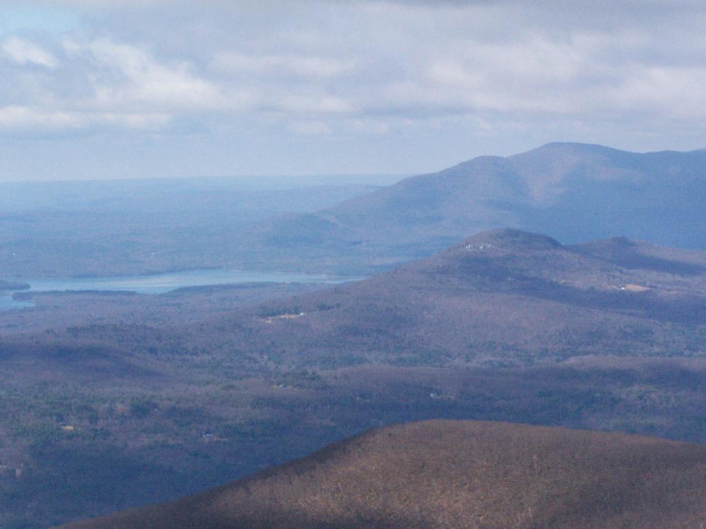
Ashokan Mountain

Catskill Park Elevation

This interactive map shows the elevation of the Catskill Park, broken up into 500 foot intervals. The Catskill Park ranges from a portion near Kingston that is less then 500 feet above sea level to the high peaks region where a few weeks exceed 4,000 feet.

Data Source:Β Digital Elevation Models created by NYSDOT, converted to ranges using Reclassify by Table, then Polygonize Tool, then simplified using v.generalize.