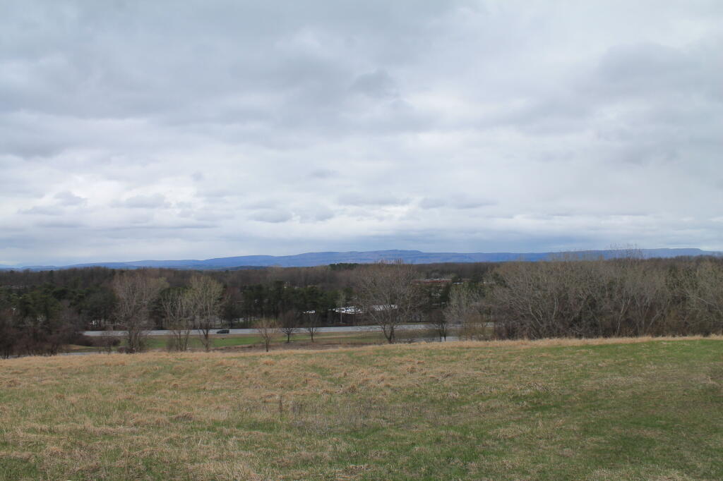
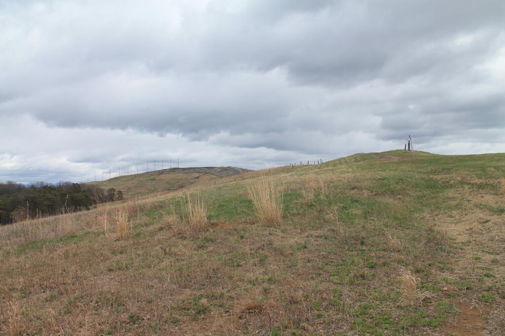
The GAL 📍

The Greater Albany Landfill, aka Albany’s landfill from 1969 until 1992. Most of it’s ash monofill, at least from 1978-1992. It was replaced by the Rapp Road Landfill to it’s east in 1992, a more modern lined landfill that replaced a sand-mine filled with garbage, that replaced the city’s older landfill in North Albany along I-787.

Too bad they’ve never really considered a serious recycling program in the city, because garbage is such a big business for the city. But it has great views, and it’s going to have some kind of Pine Bush like habitat up there some $20 million dollars later.

🖼️ Photos
Map: Mountain House Trail and North Mountain
Map: Green Mnt NF Forest Road 74 Camping
Thematic Map: African Americans By Election District in Albany County

Back in December 15, 1969

The mayor and William Carey. A few years ago, before SIC forced their breakup. From the Knickerbocker News.
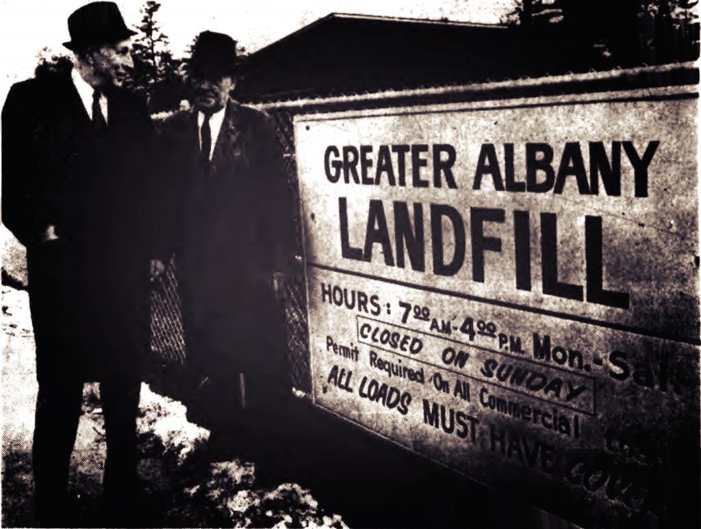
Thursday February 25, 2021 — The GAL
Terrain Map: Cario Round Top LIDAR

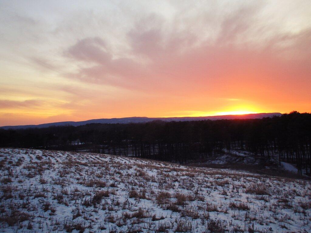
Dusk From The GAL

The closed GAL (Greater Albany Landfill) in the Albany Pine Bush at 385 feet above sea level is almost as high as some of the highest dunes in Pine Bush and with just a grass cover, makes for a good place to view the sunset, especially on Saturday evening when the landfill is closed.

Saturday February 15, 2020 — The GAL
Map: Empire State Topography