SUNY Plattsburgh 1964
An overlay of the contemporary SUNY Plattsburgh Campus compared to how it looked in 1964.
An overlay of the contemporary SUNY Plattsburgh Campus compared to how it looked in 1964.

A series of aerial photos showing downtown Plattsburgh and college campus over the years.


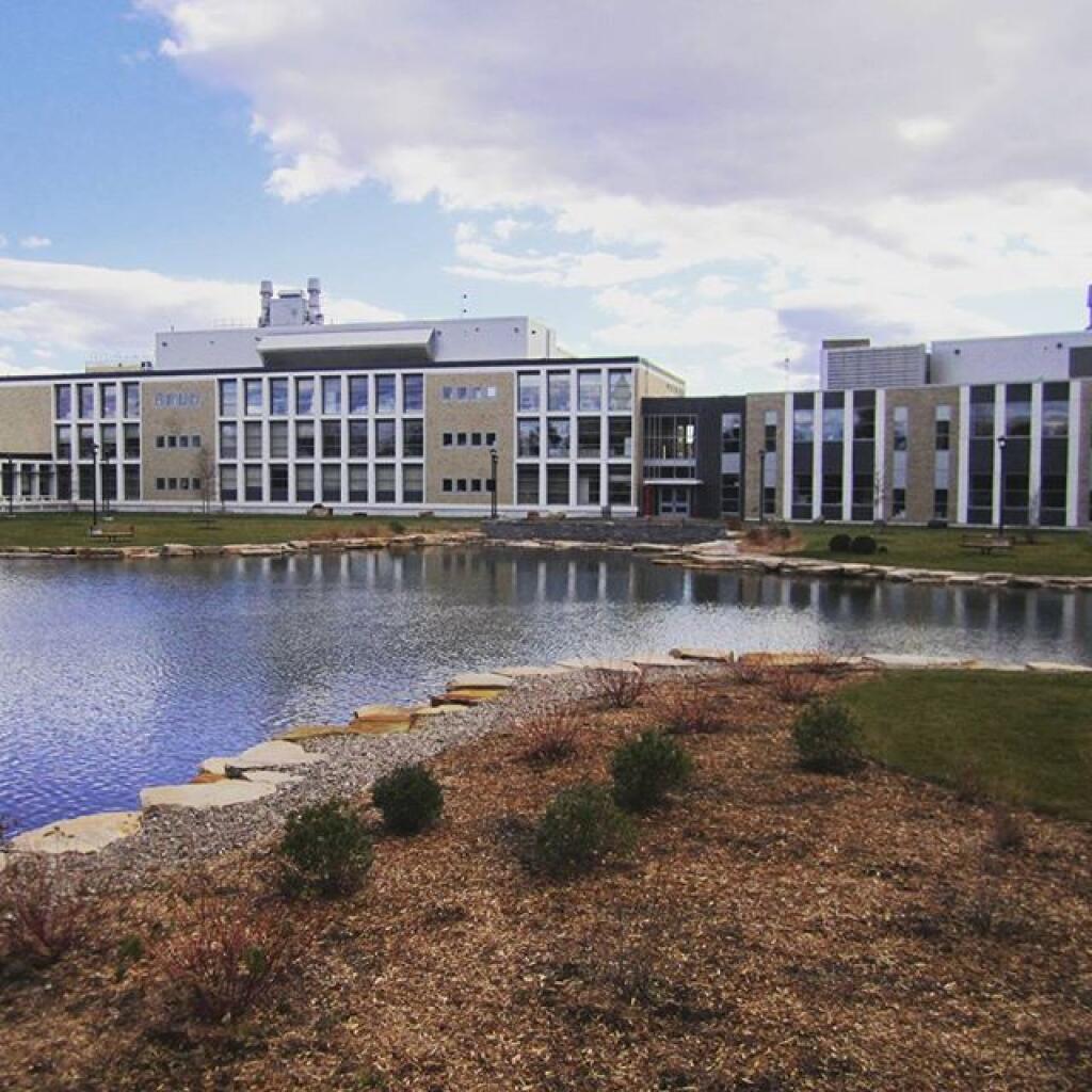

A look at the SUNY Plattsburgh Campus through a series of 5 different aerial photos taken over the years.
