St. Lawrence County
Not Fancy Campsite
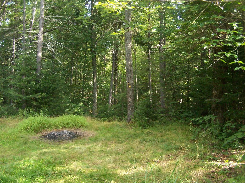
By no means was Campsite No 9 on the Unnamed Road, particularly fancy. But it provided a place to camp, and was a three minute drive down to the lake. I could have gotten a spot on Horseshoe Lake most likely had I arrived in the morning, as it seemed like campsites tended to clear out in the morning.
Taken on Friday August 13, 2010 at Horseshoe Lake.Wetlands Along Horseshoe Lake
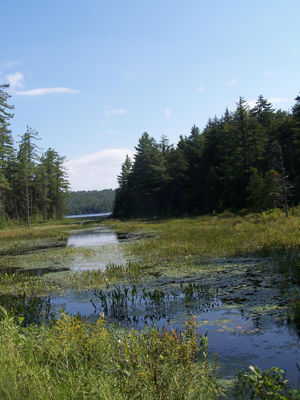
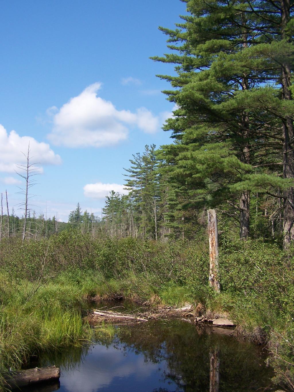
This is about a mile after the pavement runs out on NY 421, just after the Bog River Flow / Lower Lows Dam Road turn-off
Taken on Friday August 13, 2010 at Horseshoe Lake.Road Crosses Railroad Tracks
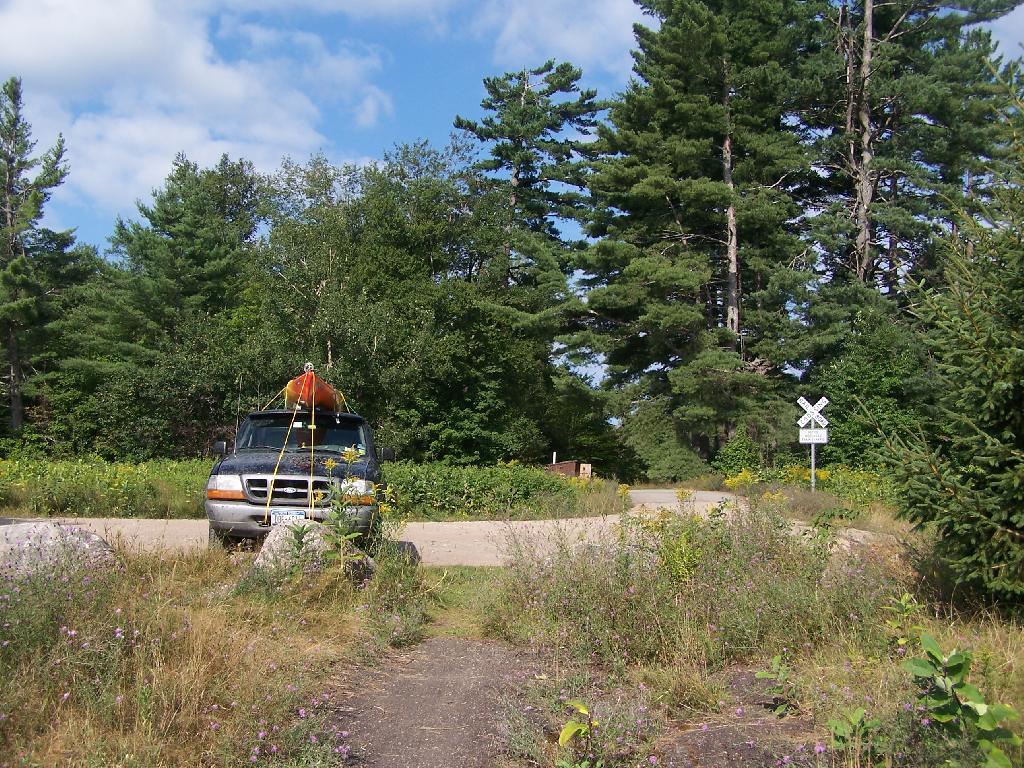
This is where the weird hair-pin turn appears on maps at the end of NY 421. I'm not sure why it follows this route, as the terrain is flat, but maybe at one time there was an inholding or private home located in here.
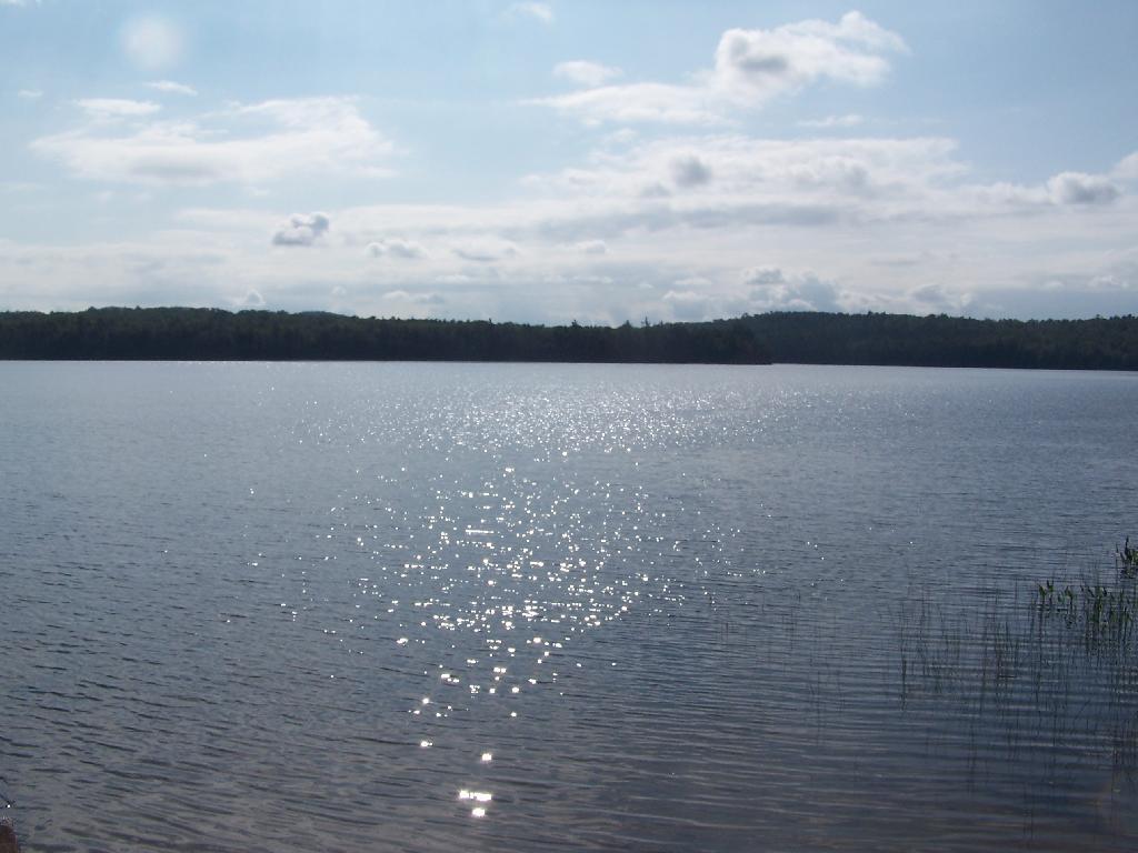
Taken on Friday August 13, 2010 at Horseshoe Lake.Horseshoe Lake in Morning
Heading swimming in a couple of minutes. The water was real nice.
Taken on Friday August 13, 2010 at Horseshoe Lake.Cowboy Hat, Swimming Trunks, Work Boots.
Not that you could get the total picture from this image. But the cowboy hat and work boots came off before the dip. A real country boy thing.
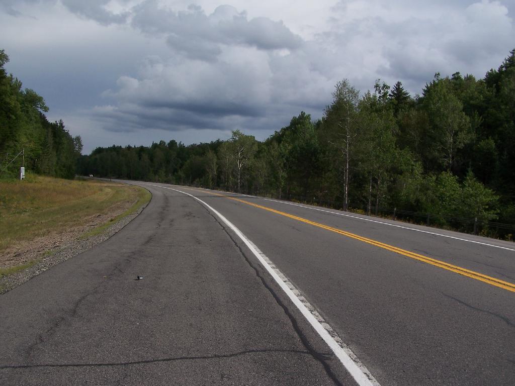
Taken on Friday August 13, 2010 at Horseshoe Lake.NY 30 South of Horseshoe Lake
When NY 30 enters Saint Lawrence County for about 5 miles, it grows very wide for 2-lane highway. The shoulders of the road must be 13-14 feet wide on both sides. It must have originally been planned a four lane highway, but later was re-striped as a 2 lane highway, as there is no reason for a highway that wide in this very rural stretch of the Adirondacks.
Taken on Thursday August 12, 2010 at Horseshoe Lake.