Skip to the content
Andy Arthur.org
Super Duty dreams and off-grid schemes.
Skip to Content
Site Navigation ▼
Search for:
NYS Campsites
NYS Lean-Tos
NYS Firetowers
Places to Camp, Hunt, Hike
Find Property Owners, School Districts
The Off-Grid Future
Planning a Trip to Upper Peninsula Michigan
The F-350 SuperDuty
Remembering Big Red
Living Healthy in My Forties
Silly Business of Politics
Climate Change & Greenies
Computers, Programming and Open Source Software
Neat Things You Can do With Public Data
Privacy Policy
Why Ads?
Moose River Plains
Piseco-Powley
Finger Lakes NF
Burnt-Rossman Hills
Charles Baker SF
East Branch Sacandaga
Summer
West Canada Lake Wilderness
Squaw Lake
Helldiver Pond
Sagamore Lake
Hamilton County
Lake Durant
Henry Hudson Park
Bicycles
Pine Hollow Arboretum
Hollyhock Hollow Sanctuary
Change
Rural Freedom
Peebles Island State Park 📍
🖼️
Photos
📽️
Videos
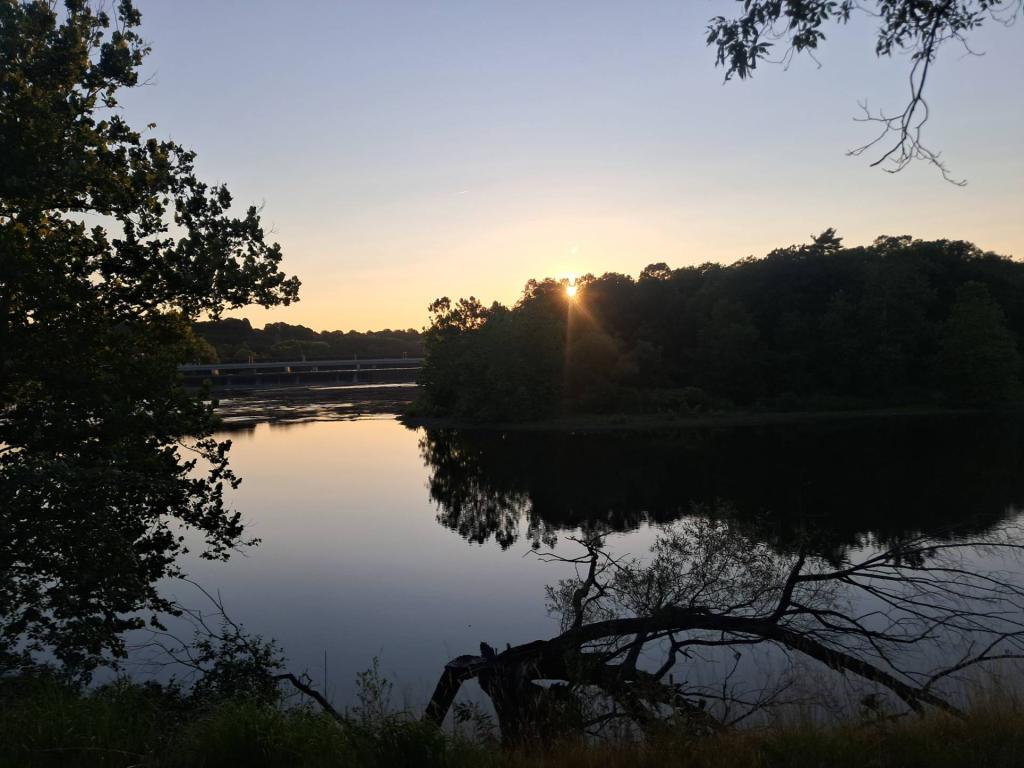
Setting Sun at Peebles Island
Andy
|
July 15, 2026
Friday July 19, 2024 —
Peebles Island State Park
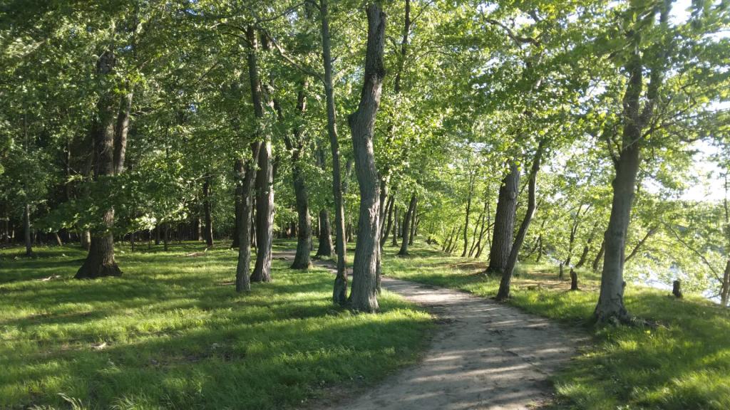
Untitled
Andy
|
July 10, 2026
Friday July 19, 2024 —
Peebles Island State Park
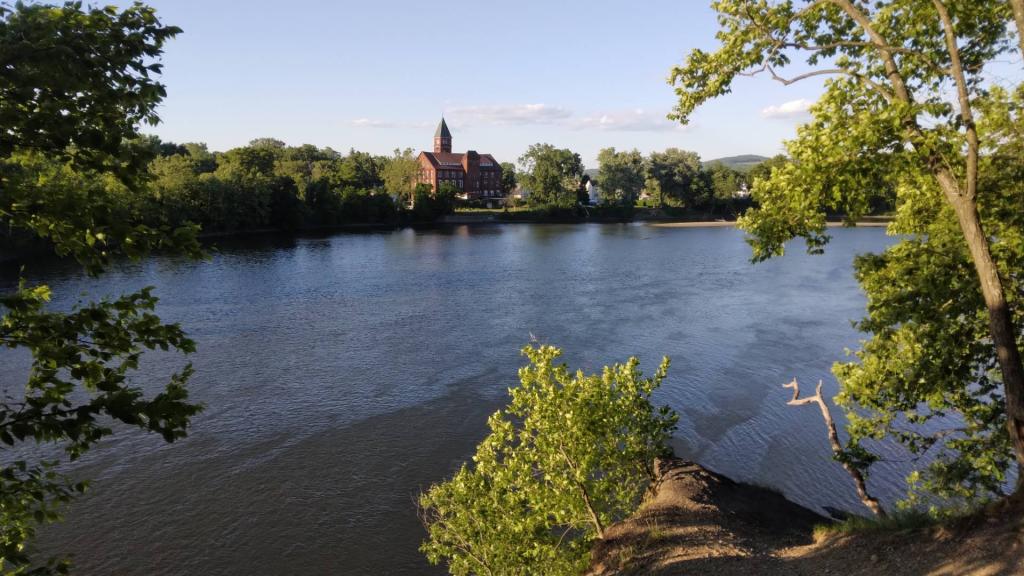
Mill in Waterford
Andy
|
May 23, 2026
Monday June 3, 2024 —
Peebles Island State Park
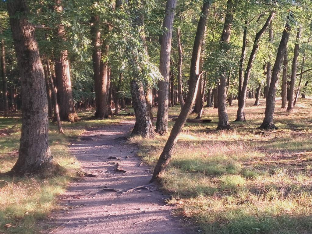
Path
Andy
|
May 22, 2026
Monday June 3, 2024 —
Peebles Island State Park
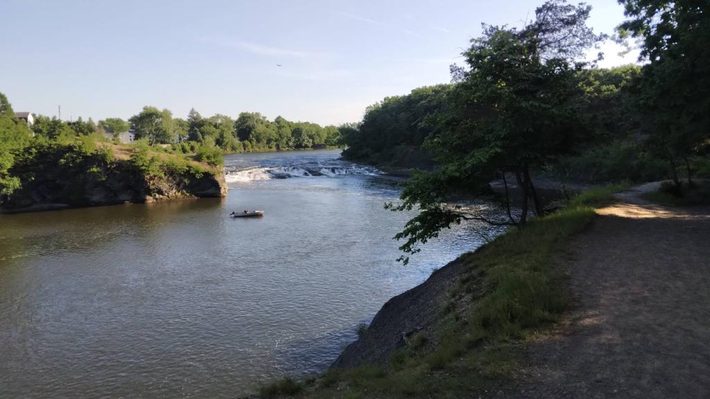
Fishing 🎣 the falls
Andy
|
May 18, 2026
Sunday June 2, 2024 —
Peebles Island State Park
Posts navigation
←
older