Gilboa is a town in Schoharie County, New York, United States. The population was 1,215 at the 2000 census. The Town of Gilboa is in the south part of the county and is southwest of Albany.
ccording to the United States Census Bureau, the town has a total area of 59.3 square miles (154 km2), of which, 57.8 square miles (150 km2) of it is land and 1.6 square miles (4.1 km2) of it (2.63%) is water.
The south town line forms a border with Delaware County and Greene County. The Schoharie Creek flows northward through the town. New York State Route 30 is a north-south highway in Gilboa. New York State Route 23 cuts through the southwest corner of the town. New York State Route 990V is a highway running eastward from NY-30 in the southeast part of Gilboa.
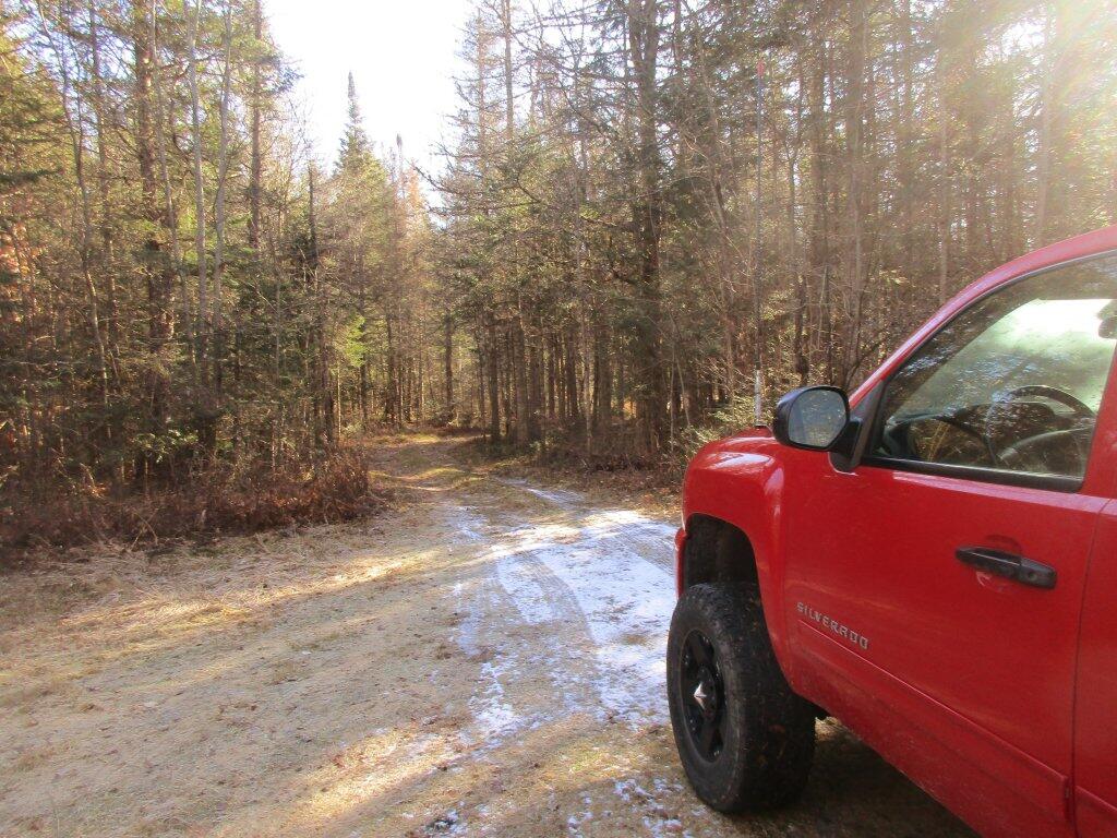
East Branch of Sacanadaga River, NY 8 – Roughly 10 campsites along NY 8. These are easily accessed throughout the year, as the road is plowed except when the snow banks are high during the winter. East Branch is not good for fishing due to wide variance in water levels, however there are some nice pools in sections of river for summer swimming. Lots of road noise. Some of the sites have cell service. Nearby locations include Cod Pond, East Branch Trail and Kibby Pond Trail.
Edick Road – There are a handful of very hidden campsites off of Edick Road. This road may be closed to vehicles due to wash outs autumn 2019, but worth a walk to explore this area.
Fawn Lake – A 1/2 mile hike back to a scenic lake ringed by primitive campsites outside of Lake Pleasant. Two miles beyond it is the scenic Willis Vly, which doesn’t have developed campsites but it’s remote wilderness where you might see a Moose or other wildlife.
Garnet Lake – Tent sites, some with drive-up access along the lake. No cell service, much of the upper road here is not maintained in the winter. Popular in the summer, no cell service.
Good Luck Lake – Scenic lake off of the West Branch Sacanadaga River that is ringed with tent sites that can be walked in from the Good Luck Lake parking area area or paddled in.
Hope Falls Road – Two or three campsites along the end of Hope Falls Road, some are drive-in only tent sites. Near the Tenant Creek Falls Trail. No cell service. Open June to autumn snowfall.
Lester Flow and Cheney Pond – Scenic lake that is popular for paddling. The 1/2 mile road down from Boreas Road as of June 2020 is closed due to washouts. Tent sites exist along the lake, along with one drive-to site on the road down there.
Mason Lake – Small lake located about 10 miles north of Speculator and 5 miles south of Lewey Lake that has several tent and drive-in campsites along it’s shore. Good to fair cell service here. Nice to hear loons, one of the best bass ponds in the area.
North Lake Reservoir – There are roughly 15 campsites on the east shore of North Lake Reservoir. Popular place in the summer, regularly staffed by conservation students. Noise from motorboats. No cell service. Nice if you want to camp right on water, hear loons at night..
Northwood Club Road – In Minerva, this road crosses the Boreas River and has several roadside campsites, and passes by Huntley Pond, the NL Tahawus Railroad (which can be hiked to the Boreas River at Hudson River), and the Blue Ledges on the Hudson tailhead.
Perkins Clearing – Conservation easement lands. Good to fair cell service here. Great place for hunting and wildlife observation as it’s mixed timber country. Near Mason Lake, Speculator, Pillsbury Mountain and Cedar Lakes.
Pumpkin Hollow Road – Three campsites above Willis Lake. Remote country except for the site on Willis Lake, no cell service. On the Willis – Wilcox Lake Trail. Very quiet area. Open June to autumn snowfall. No cell service here.
Rockwood State Forest – Three campsites along the end of Church Road which can be accessed by driving past the cemetery in the hamlet. Scenic lake, good fishing. Cell service available, but bring a trash bucket and gloves as litter can be a problem. Nice trails to stroll around in the old Rockwood Estate.
Stewart Landing – There are four campsites on a rough road that loops off of Stewart Landing Road. Popular area in the summer, Canada Lake is great for paddling and informal swimming. Also consider hiking back to Hilderbrandt Vly and Glassgow Lake from here. Moderate to poor cell service here.
Vanderwhacker Road -Five or six campsites exist along Vanderwhacker Road, which can be muddy in the spring and icy in late autumn. Additional designates campsites exist near where NY 28N crosses the Vanderwhacker River. Near the trail to the Vanderwhacker Firetower, No cell service.
White House, Wells – A grouping of 5 or 6 campsites at the end of White House in West River Road. Scenic area, old camp, with fields and a chimney. Campsites are kind of close together, not a wilderness experience. Near the North Country Placid Trail, lots of blueberries in mid-summer. No cell service. Open June to autumn snowfall.
Woodhull Lake Reservoir – Off of NY 28 in McKeevers, about 10 miles south of Old Forge. Not only is this beautiful reservoir to paddle, there are some campsites along the shore, with drive-to campsites along Wolf Lake Landing Road which leads to it. Part of Wolf Lake Landing Road is erroded, but other parts are fresh stone-dust. It’s remote wilderness but there good cell service in mcuh of the area.
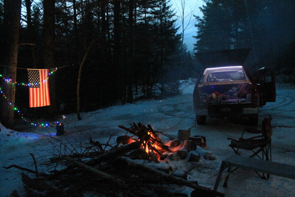
Camping during shoulder season in the Adirondacks on the East Branch Sacandaga River that’s something I frequently debate about. This time, like many I checked out both sites before settling on Campsite 5 close to the old Fox Lair Camp.
Campsite 5 Pros
More protected from the wind with higher trees
More screening from the road
Driveway to the road is downhill, so less likely to get stuck in deep snow
Near Fox Lair and East Branch Trail
Outhouse
Nice swimming hole across the way
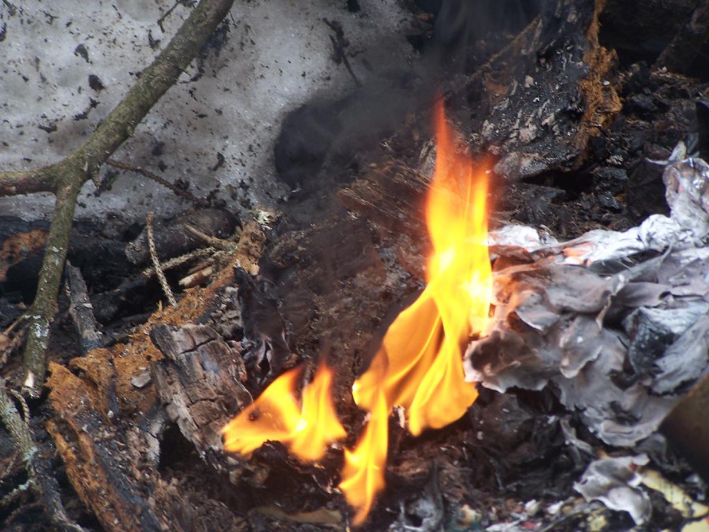
Good firewood supply, especially if hunters leave left over wood
Campsite 5 Cons
Trees tend to shade out solar power
No cell service
Campsite 7 Pros
Good solar exposure for camp solar power
Limited cell service at times
Near Cod Pond and the trail back along Stewart Creek
Campsite 7 Cons
Driveway is flat, winding, greater chance of trees coming down blocking it
The other day I was on a work conference call – actually a Zoom meeting and there were people praising Costcos and saying how they traveled to Massachusetts the past week to shop there. Honestly, I can’t imagine traveling to shop at a Big Box grocery store during a pandemic but I guess different people have different values.
I had to puke in my mouth a little bit, off camera, as I’ve been opposed to the Rapp Road development which includes a Costco and a large apartment and townhouse complex in undeveloped woods right next to the butterfly corridor. Honestly I don’t care much about the Costco part of the proposal – it’s mostly in an abandoned residential neighborhood – but I do like many of my fellow environmentalists worry about the apartment complex. The Costcos is still a bit problematic in the sense their building a gas station over a sandy sole source acquifer so all gas leaks and spills will almost immediately mix into ground water and the proposal still demolishes some remaining pitch pine and dunes, that are easily restored to Pine Bush.
So it probably shouldn’t move forward or we should at least demand a tough mitigation to protect as much of the remaining Pine Bush as possible. So much had been lost in fifty years, even more is disappointing a few acres at a time – becoming harder and harder to sustain especially as climate change makes the Pine Bush with less late winter snow even harder to breed butterflies and other native species.
I’ve heard Costco in other parts of the nation are perpetually crowded. You have to think yuck during the pandemic. I can’t imagine shopping at any big box in the near future. A few times during the pandemic I’ve been to Walmart to get things not at Aldi’s, but I’ve finally drawn a line in the sand and said no more. It’s not worth getting Coronavirus to get something I can order online and get in a few days. I dont mind discount groceries and stores that have a limited selection but do we need such massive temples of consumerism?
Why do people get excited about lower prices at stores on Black Friday but not about cheaper prices on stock market? Cheaper prices means you get more shares for less money. What’s not to like?
I was told the other day, I should buy more shit. 💩
I’m like no, I’m tired of things breaking all the time and needing maintenance. I’m happy with the shit I already have. I don’t need anymore. I’d rather use the money, save and invest it, so I have a more secure retirement, and eventually can afford land that will be my own little kingdom in the wilderness.
I have to think about how much black smoke and how smelly most of that junk would be once it’s used up and you toss it in a fire to get rid of it! The best thing to do for your own life is to spend less money and invest more.
Another Example of GeoPandas and Python Spatial Joins 🗺
Yesterday, I posted a much more complicated piece of code that pulled addresses from the SAM (State Address Management) database and did a spatial join to add a column to the file with Assembly District and Municipality. This was a bit too complex, so I made a simpler one for other purposes that doesn’t require the coordinates to be obtained from SAM.
This python script takes two parameters:
Path to a CSV file that contains an X and Y coordinate
Path to a Shapefile or Geopackage to Join Against
Then the code will create a new CSV file with the spatially joined attributes pulled from the Shapefile. I have only run it on a few large data sets, but I found it took roughly 1 second to join 1,000 records from call to end of end of script.
#!/usr/bin/python

import requests,sys,json,os,csv

import pandas as pd
import geopandas as gpd

lines=[]

# read list of addresses from parameter 1
with open(sys.argv[-2], newline='') as csvfile:
	for line in csv.DictReader(csvfile):
		lines.append(line)

# convert to pandas
locPd = pd.DataFrame(lines,columns=lines[0].keys())
locPd.convert_dtypes()

locPd = gpd.GeoDataFrame(locPd,  geometry=gpd.points_from_xy(locPd.x.astype('float32'), locPd.y.astype('float32')))

# run spatial joins against parameter 2
ad = gpd.read_file(sys.argv[-1])
locPd = gpd.sjoin(locPd, ad, op="within")

# remove added geometery and index columns
del locPd['geometry']
del locPd['index_right']

# write pandas back to out csv
locPd.to_csv (os.path.splitext(sys.argv[-2])[0]+'-output.csv', index = False, header=True)