Jessup River Wild Forest

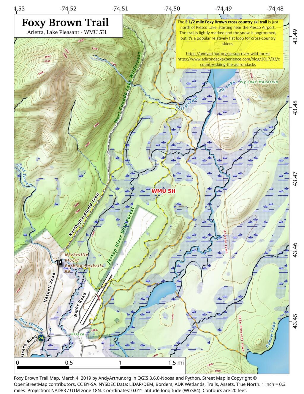
The Jessup River Wild Forest (JRWF) area consists of 47,350 acres of State Forest Preserve lands in the towns of Arietta, Indian Lake, Lake Pleasant, and Wells in Hamilton County. The unit is bounded by Route 28 to the north and Route 30 in the southeast, as well as three wilderness areas: West Canada Lakes Wilderness to the west; Siamese Ponds Wilderness to the east, and Silver Lake Wilderness to the south. The state lands in this unit border, or are in close proximity to, the communities of Indian Lake, Piseco, Speculator and Wells. Route 30 bisects the unit and serves as the main access corridor. Many people enjoy hiking to the fire towers on Pillsbury and Snowy mountains, snowmobiling between Piseco Lake and Indian Lake, canoeing on Fall Stream, or camping on Mason Lake. Hunting, fishing, and trapping are also popular activities throughout the unit but particularly in and around Perkins Clearing, the Jessup River and the Miami River.

http://www.dec.ny.gov/lands/22599.html

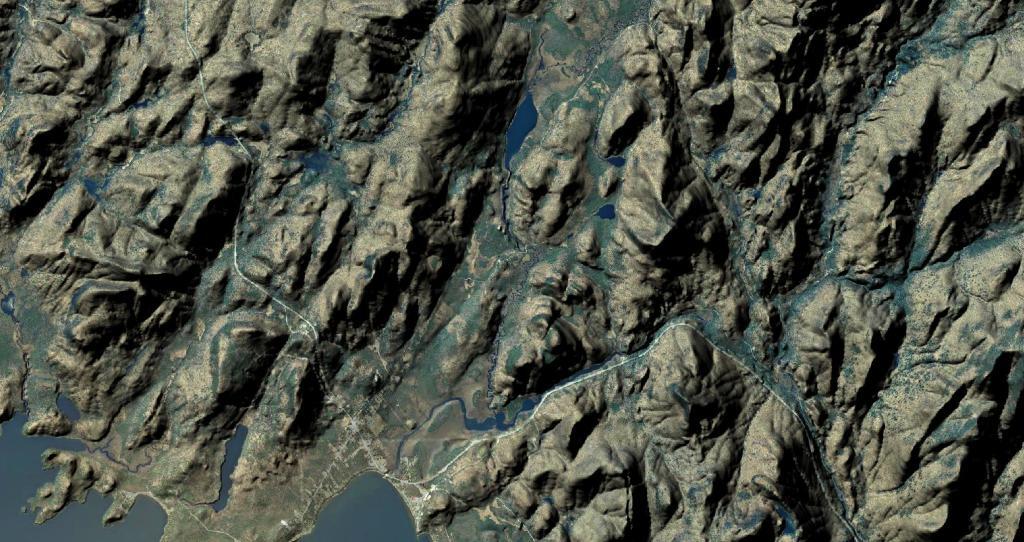
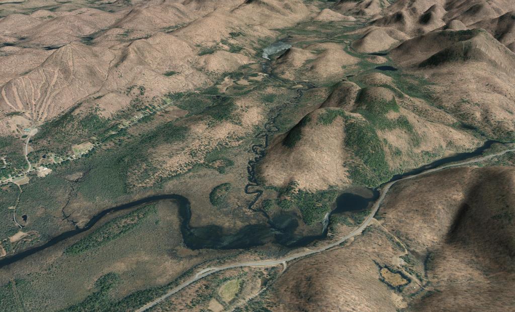
Viewable from the Pillsbury Mountain Firetower

Viewable from the Pillsbury Mountain Firetower

Revised map based on some analysis of I've been doing of photos I've taken over the years from the fire tower. Getting the view shed correct is a bit challenging using bare-earth digital elevation models, which do not fully consider the impact of trees blocking part of the viewable landscape.

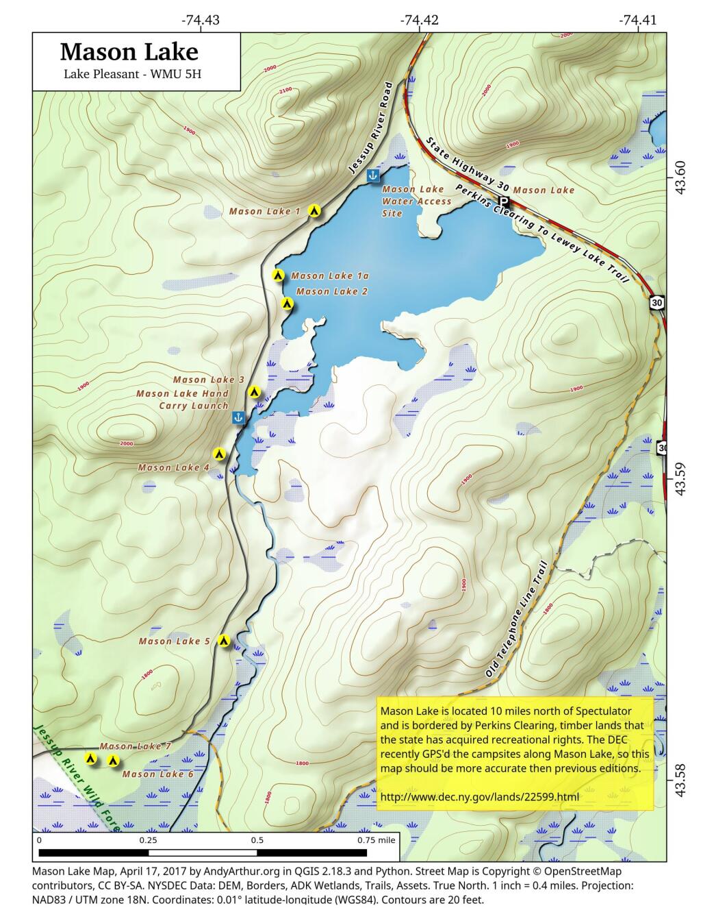
Mason Lake

 Mason Lake

This updated map contains the exact locations of campsites and boat launches along Mason Lake based on the DEC's GPS-based survey of the campsites last fall. While previous maps that I made up using heads-up digitizing and my own notes were fairly accurate, this map takes it up a notch.