Lit all up for another black fly season. Unfortunately the wind picked up, knocked over my lantern and shattered that so it will be darker tonight as checking my truck I don't have an extra. As much as I don't like the bugs the tent is pretty when it's lit on up.
Taken on Thursday May 13, 2021 at Perkins Clearing and Speculator Tree Farm Conservation Easement Lands.
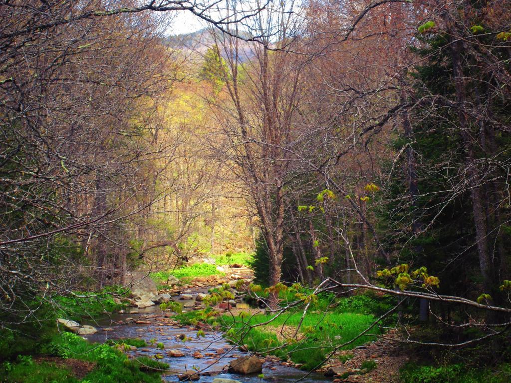
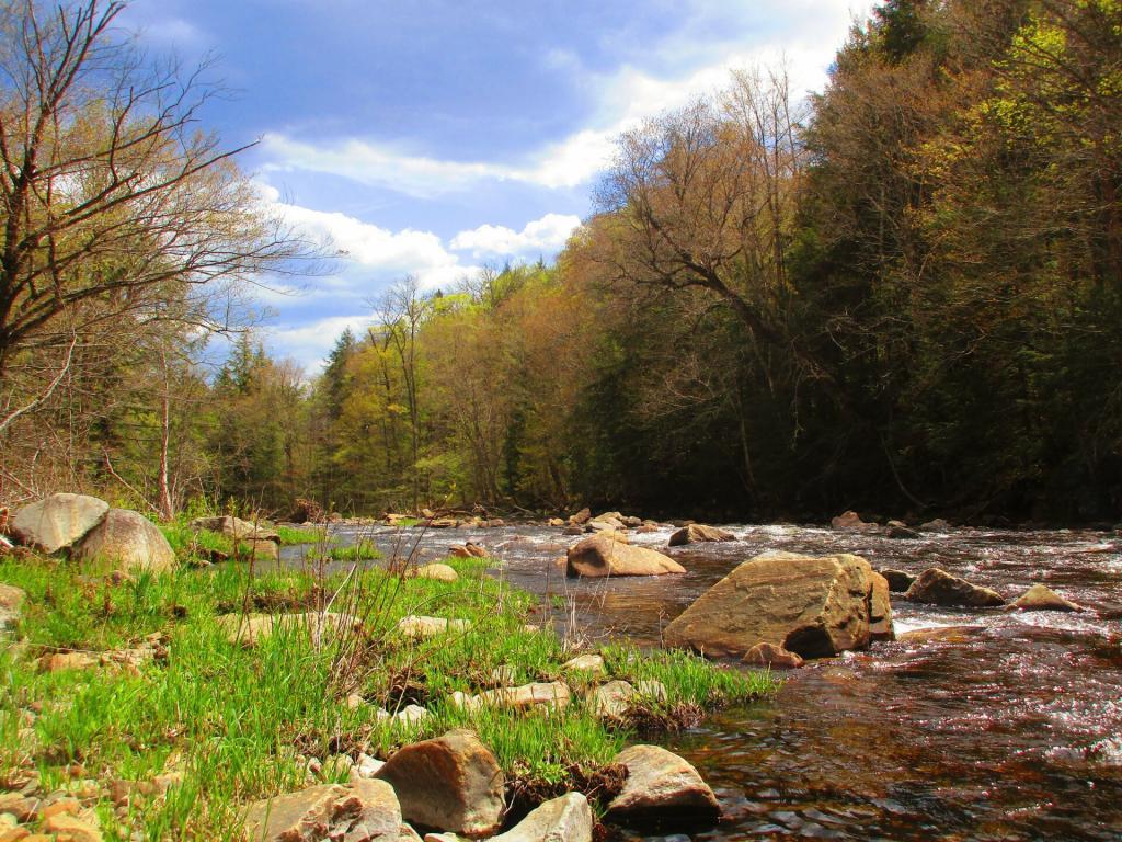
The grass is getting green, but the trees are still leafing out.
Taken on Saturday May 15, 2021 at Perkins Clearing and Speculator Tree Farm Conservation Easement Lands.
After the torrent of the falls, it becomes quiet.
Taken on Saturday May 15, 2021 at Jessup River Wild Forest.
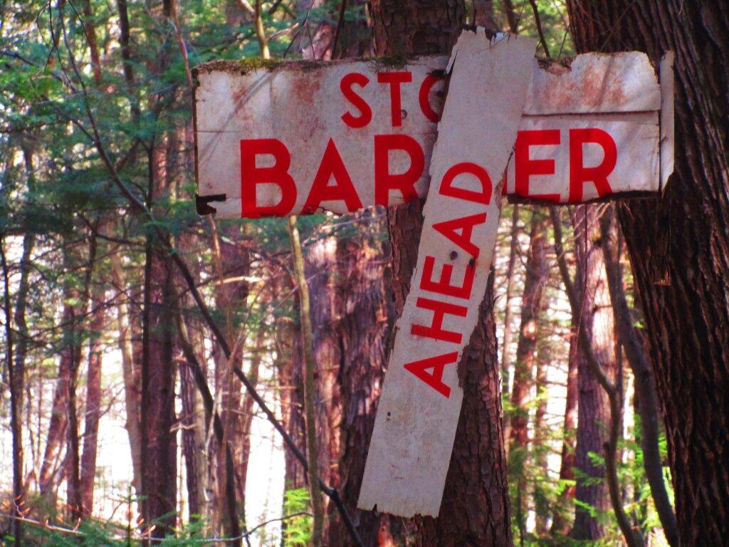
This Stop Barrier Ahead sign has seen better days.
Taken on Sunday May 3, 2020 at Jessup River Wild Forest.
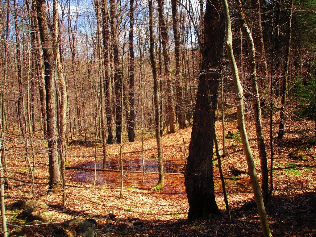
Walking along the old Dunning Pond Snowmobile trail I stumbled upon this vernal pool full of tad poles.
Taken on Sunday May 3, 2020 at Jessup River Wild Forest.
Old Route 8B is a 1915-era routing of NY 8 and 30 between Wells and Speculator that is now a dead-end after the lower bridge was closed some time ago. It runs between Auger Falls and Speculator, passing closely by Austin Falls. Old Route 8B is most famous for Robert Garrow killing a camper at the Robb Creek Mill and then fleeing up Fly Creek Road. There are several campsites along the road, and Austin Falls is a scenic location where the Sacandaga River runs through a narrow floom. The road, while paved with concrete and letter covered with two layers of asphalt only receives the most minimum of maintenance, and is quite rough and disjointed in locations. Old Route 8A refers to the 1915 routing of NY 8 and 30, which at one time ran closer to Auger Falls and wound into the valley, taking a closer path to the Sacanadaga River.


