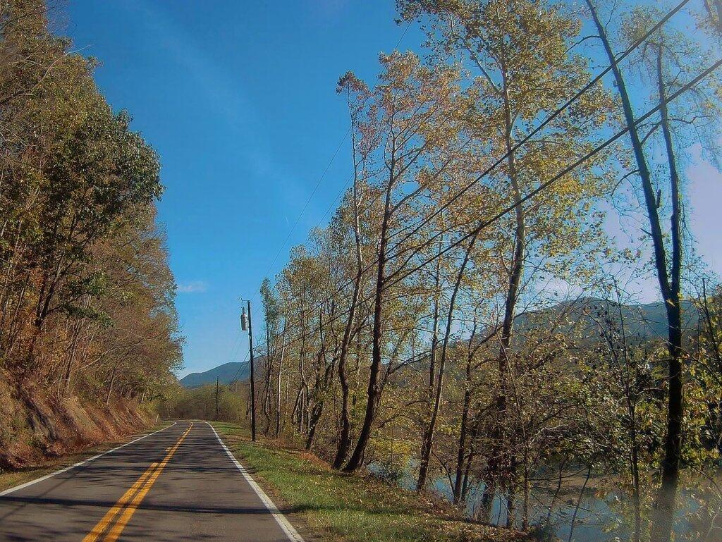
Balsam Swamp is a sprawling state forest that stretches almost 5.5 miles east-west across 4 towns. The area is very rural, and the landscape surrounding the State Forest is predominantly forested. Balsam Swamp State Forest is comprised of a mix of native hardwood forests, hemlock swamps, and conifer plantations. There are no designated recreational trails on the forest, but there is ample opportunity for self-guided day hikes to explore the diversity of habitats represented on this State Forest. Additionally, the western section of Balsam Swamp State Forest is adjacent to Five Streams State Forest to the south.
The main attraction of this forest is Balsam Pond. The impoundment is approximately 152 acres and is a popular destination for fishing and paddle boat sports. Balsam Pond is a warm water fishery that contains a mix of largemouth bass, smallmouth bass, chain pickerel, yellow perch, brown bullhead and sunfish. Tiger muskellunge have been stocked in the past with the last stocking occurring in 1995. However, there have been very few reports of anglers catching any of the adult tiger muskies. A shallow gravel boat launch is suitable for launching small fishing boats.
A small rustic camp ground is also located at Balsam Pond. Camping spaces are available at no cost on a first-come, first-serve basis and there is no running water or electricity. A fire ring, outhouse, and picnic table are provided for each camping space. A sign on Balsam-Tyler Road in Pharsalia designates the entrance to the boat launch and camping facility. This is a carry-in carry-out facility. Please do not litter.
Being somebody who doesn’t own a television, 📺 I find watching any television to be incredibly disturbing. The bright colors, the sex and violence a find so nauseating. 🤢 The endless chants and championing of big government makes want to punch the screen. 👊
The truth is, I don’t know how anybody could stand to watch television for more then five minutes without their brains going to mush.💭
I was reading about the Climate Emergency, and was thinking I have no real idea what an emergency is. Sure, I’ve heard the word emergency used in various contexts, but I’ve never heard it actually defined.
An emergency is a situation that poses an immediate risk to health, life, property, or environment. Most emergencies require urgent intervention to prevent a worsening of the situation, although in some situations, mitigation may not be possible and agencies may only be able to offer palliative care for the aftermath.
While some emergencies are self-evident (such as a natural disaster that threatens many lives), many smaller incidents require that an observer (or affected party) decide whether it qualifies as an emergency. The precise definition of an emergency, the agencies involved and the procedures used, vary by jurisdiction, and this is usually set by the government, whose agencies (emergency services) are responsible for emergency planning and management.
In other words, an emergency is a politically-defined situation. Emergencies aren’t self-evident, they are defined substantially in the context of the problem, seen through a lens of personal and community values.
A related term would be crisis, which by definition are negative situations that require action to avoid things getting worse. I feel like I have a better idea of what a crisis is, but a definition is worthwhile to review.
A crisis (plural: “crises”; adjectival form: “critical”) is any event or period that will lead, or may lead, to an unstable and dangerous situation affecting an individual, group, or all of society. Crises are negative changes in the human or environmental affairs, especially when they occur abruptly, with little or no warning. More loosely, a crisis is a testing time or an emergency.
U.S. Route 9W (US 9W) (141.83 mi or 228.25 km) is a north–south U.S. Highway in the states of New Jersey and New York. It begins in Fort Lee, New Jersey, as Fletcher Avenue crosses the US 1–9, US 46, and the Interstate 95 (I-95) approaches to the George Washington Bridge, and heads north up the west side of the Hudson River to US 9 in Albany, New York.
NY 9A (47.49 miles or 76.43 kilometres) is an alternate route of US 9 through Manhattan and Westchester County.
NY 9B (5.97 miles or 9.61 kilometres) is a spur in Clinton County linking US 9 in Chazy to US 11 in Rouses Point.
NY 9D (25.21 miles or 40.57 kilometres) is an alternate route of US 9 between the Bear Mountain Bridge and Wappingers Falls.
NY 9G (42.77 miles or 68.83 kilometres) is an alternate route of US 9 from Poughkeepsie, Dutchess County, to Hudson, Columbia County.
NY 9H (18.77 miles or 30.21 kilometres) is an easterly alternate to US 9 between Bell Pond and Valatie.
NY 9J (22.38 miles or 36.02 kilometres) is an alternate route of US 9 from Columbiaville to Rensselaer. NY 9J follows a more westerly alignment than US 9 to serve a series of communities along the Hudson River.
NY 9L (18.54 miles or 29.84 kilometres) is a loop off of US 9 between Glens Falls and Lake George in Warren County.
NY 9N (143.13 miles or 230.35 kilometres) is a lengthy alternate route of US 9 between Saratoga Springs and Keeseville. NY 9N is the longest suffixed route in New York.
NY 9P (12.17 miles or 19.59 kilometres) is a loop route connecting US 9 to Saratoga Lake southeast of Saratoga Springs.
NY 9R (3.21 miles or 5.17 kilometres) is a short loop serving Colonie in northeast Albany County.
Do you need to load a table in a PDF into an Excel document? You can do it using the free, open source tabula program.
It does require you install Java on your computer, but once you have Java installed, you open the tabula.jar file in Java then go localhost:8080 in your favorite web browser, open the PDF, select the table in the browser, and click download CSV and open it in Excel. Super easy!
There is also tabula bindings for Python and R if you want to do it programmatically.
Excerpt from Appalachia: A Report by the President’s Appalachian Regional Commission, 1964:
“In the future, Appalachia’s potential of timberland, fossil energy and recreational water and wilderness will be required for the satisfaction of our national goals. But further resource activity in the region if uncoordinated in its timing or its relationship to human and social capital could repeat the pattern and make little more than a piecemeal improvement of the Appalachian social and economic infrastructure.”
“Appalachia’s millions of people, whose material and social betterment the focus and end of all development effort, are also the region’s prime resource. Their individual distress is today a national liability: but their pooled personal hopes, talents and resourcefulness is a reservoir of creative energy the Nation can no longer afford to ignore.”
“The Appalachian people have no desire to abandon their traditional home, but whether they leave or stay, their continuing distress compounds a double loss for both the region and the Nation — the cost of welfare maintenance and the loss of productive vigor.”
I am a bit surprised to read that only 1.5 to 2 percent of desktop computers on the Internet are running Linux. Maybe a few decades ago that wouldn’t have surprised me, but with Linux being such a mature operating system with so many good programs, I can’t imagine ever running such clunky commercial software on Mac OS X or the Winders.