Burn Baby Burn

With wildfires already burning and drought persisting across much of the U.S., fire experts are bracing for what could be an extreme fire season. The U.S. Forest Service is going into it having done far less work than in recent years to manage the dry, flammable vegetation that can fuel catastrophic fires. In 2025, the Forest Service reduced vegetation on almost 1.5 million fewer acres than in 2024, according to an analysis of the agency's data by NPR and firefighting experts. It marks a significant drop from the more than 4 million acres of hazardous vegetation work done in the last year of the Biden administration.


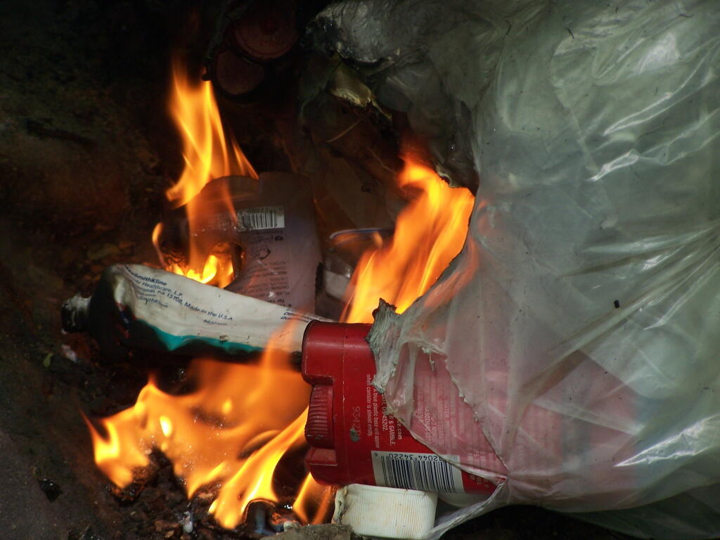
Steve Wunderlich, cattle hoof trimmer and farmer in Northern PA shows the beauty of burning one's own trash.

