Catskill Mountains

Catskill Park Elevation

This interactive map shows the elevation of the Catskill Park, broken up into 500 foot intervals. The Catskill Park ranges from a portion near Kingston that is less then 500 feet above sea level to the high peaks region where a few weeks exceed 4,000 feet.

Data Source:Β Digital Elevation Models created by NYSDOT, converted to ranges using Reclassify by Table, then Polygonize Tool, then simplified using v.generalize.

Campsites in the Catskill Forest Preserve β›Ί

There are 66 back-country campsites currently digitized by the NYS DEC in the Catskill Forest Preserve. For use with your GPS, the latitude and longitude have been listed below, sorted by Forest Preserve unit. Additional campsites exist, and some have been heads-up digitized by myself on other maps found on this site, however due to in-exact location they have not been included on this list but are shown on the above map. Additionally, see this state-wide listing of lean-tos and interactive map of dispersed, primitive and roadside campsites across the state.

Forest Preserve Unit Campsite Office Location
Big Indian Wilderness Rider Hollow Campsite New Paltz, Region 3 42.10163,-74.51719
Colgate Lake Wild Forest Campsite Stamford, Region 4 42.23919,-74.12405
Colgate Lake Wild Forest Campsite Stamford, Region 4 42.23917,-74.12235
Colgate Lake Wild Forest Campsite Stamford, Region 4 42.23964,-74.12338
Colgate Lake Wild Forest Campsite Stamford, Region 4 42.23958,-74.12268
Colgate Lake Wild Forest Campsite Stamford, Region 4 42.24121,-74.11467
Colgate Lake Wild Forest Campsite Stamford, Region 4 42.24112,-74.11676
Colgate Lake Wild Forest Colgate Lake ADA Primitive Campsite Stamford, Region 4 42.23938,-74.12045
Crystal Lake Wild Forest Crystal Lake Campsite 1 New Paltz, Region 3 41.86922,-75.02342
Crystal Lake Wild Forest Crystal Lake Campsite 10 New Paltz, Region 3 41.87308,-75.02943
Crystal Lake Wild Forest Crystal Lake Campsite 11 New Paltz, Region 3 41.8759,-75.02821
Crystal Lake Wild Forest Crystal Lake Campsite 3 New Paltz, Region 3 41.86903,-75.02405
Crystal Lake Wild Forest Crystal Lake Campsite 4 New Paltz, Region 3 41.86889,-75.02458
Crystal Lake Wild Forest Crystal Lake Campsite 5 New Paltz, Region 3 41.86931,-75.02463
Crystal Lake Wild Forest Crystal Lake Campsite 6 New Paltz, Region 3 41.86955,-75.02504
Crystal Lake Wild Forest Crystal Lake Campsite 7 New Paltz, Region 3 41.87026,-75.0262
Crystal Lake Wild Forest Crystal Lake Campsite 8 New Paltz, Region 3 41.87044,-75.02649
Crystal Lake Wild Forest Crystal Lake Campsite 9 New Paltz, Region 3 41.87097,-75.02645
Delaware Wild Forest ADA Primitive Campsite Stamford, Region 4 41.99649,-74.93796
Delaware Wild Forest Campsite Stamford, Region 4 42.01243,-74.82313
Delaware Wild Forest Campsite Stamford, Region 4 42.04316,-74.80916
Delaware Wild Forest Campsite Stamford, Region 4 42.04023,-74.80933
Delaware Wild Forest Campsite 1 Stamford, Region 4 42.04385,-74.72643
Delaware Wild Forest Campsite 10 Stamford, Region 4 42.04515,-74.72231
Delaware Wild Forest Campsite 11 Stamford, Region 4 42.04597,-74.722
Delaware Wild Forest Campsite 12 Stamford, Region 4 42.04995,-74.72074
Delaware Wild Forest Campsite 13 Stamford, Region 4 42.04971,-74.72366
Delaware Wild Forest Campsite 2 Stamford, Region 4 42.04377,-74.72538
Delaware Wild Forest Campsite 3 Stamford, Region 4 42.04328,-74.72424
Delaware Wild Forest Campsite 4 Stamford, Region 4 42.04206,-74.72564
Delaware Wild Forest Campsite 5 Stamford, Region 4 42.0423,-74.72527
Delaware Wild Forest Campsite 6 Stamford, Region 4 42.04145,-74.72518
Delaware Wild Forest Campsite 8 Stamford, Region 4 42.04297,-74.72591
Delaware Wild Forest Campsite 9 ADA Stamford, Region 4 42.04334,-74.72598
Delaware Wild Forest Primitive Campsite Stamford, Region 4 41.99624,-74.94371
Delaware Wild Forest Primitive Campsite Stamford, Region 4 41.99585,-74.94107
Delaware Wild Forest Primitive Campsite Stamford, Region 4 42.00052,-74.94268
Delaware Wild Forest Primitive Campsite Stamford, Region 4 42.00623,-74.94263
Delaware Wild Forest Primitive Campsite Stamford, Region 4 42.01187,-74.94557
Delaware Wild Forest Primitive Campsite Stamford, Region 4 41.99636,-74.96218
Delaware Wild Forest Primitive Campsite Stamford, Region 4 41.99457,-74.95989
Delaware Wild Forest Primitve Campsite Stamford, Region 4 41.99916,-74.95874
Diamond Notch Primitive Bicycle Corridor Primitive Campsite Stamford, Region 4 42.16844,-74.25743
Hunter-West Kill Wilderness Primitive Campsite 1 Stamford, Region 4 42.18875,-74.24009
Hunter-West Kill Wilderness Primitive Campsite 2 Stamford, Region 4 42.18883,-74.23982
Hunter-West Kill Wilderness Primitive Campsite 3 Stamford, Region 4 42.18856,-74.23974
Indian Head Wilderness Campsite 1 Stamford, Region 4 42.09804,-74.08922
Indian Head Wilderness Campsite 2 Stamford, Region 4 42.09688,-74.08913
Indian Head Wilderness Campsite 3 Stamford, Region 4 42.096,-74.09069
Indian Head Wilderness Campsite 4 Stamford, Region 4 42.09664,-74.0921
Indian Head Wilderness Campsite 5 Stamford, Region 4 42.09727,-74.09231
Indian Head Wilderness Campsite 6 Stamford, Region 4 42.09828,-74.09165
Indian Head Wilderness Campsite 7 Stamford, Region 4 42.0985,-74.09123
Indian Head Wilderness Primitive Campsite Stamford, Region 4 42.13464,-74.16232
Indian Head Wilderness Primitive Campsite 1 Stamford, Region 4 42.13514,-74.16196
Sundown Wild Forest ADA Trailer Field Campsite New Paltz, Region 3 41.91688,-74.43558
Sundown Wild Forest ADA Trailer Field Campsite New Paltz, Region 3 41.91683,-74.43548
Sundown Wild Forest Kanape Brrok By Fer Field Campsite New Paltz, Region 3 41.93334,-74.32539
Sundown Wild Forest Trails End Campsite New Paltz, Region 3 41.884,-74.35998
Windham-Blackhead Range Wilderness Campsite Stamford, Region 4 42.27589,-74.10103
Windham-Blackhead Range Wilderness Campsite Stamford, Region 4 42.27605,-74.1011
Windham-Blackhead Range Wilderness Campsite Stamford, Region 4 42.27632,-74.09992
Windham-Blackhead Range Wilderness Campsite Stamford, Region 4 42.27064,-74.11374
Windham-Blackhead Range Wilderness Campsite Stamford, Region 4 42.27042,-74.11397
Windham-Blackhead Range Wilderness Elm Ridge 1 Stamford, Region 4 42.306,-74.17393
Windham-Blackhead Range Wilderness Elm Ridge 2 Stamford, Region 4 42.306,-74.17369

Hunter Mountain via Spruceton Horse Trail

On Sunday, February 21, 2010 I got up at 5 AM and started out on the Spruceton Horse Trail to Hunter Mountain around 8 AM. Previously I went up Hunter Mountain using the much steeper Mink Hollow Trail, which in a couple of parts would be challenging to snowshoe for a novice like myself. The Spruceton Trail is 3.5 miles and an accent of 1,900 feet versus Mink Hollow Trail at 2.1 miles and 2,200 feet accent.
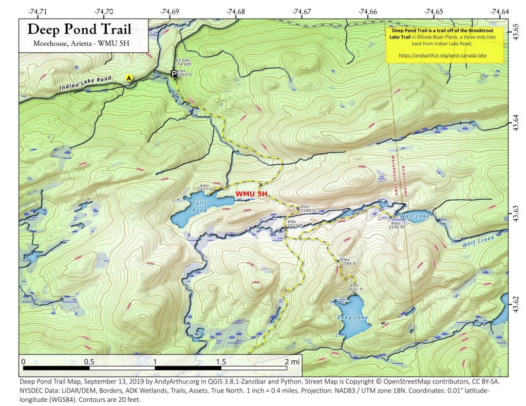
 Deep Pond Trail

Here I am starting up the mountain, with trail-less high peak Rusk Mountain in the distance.
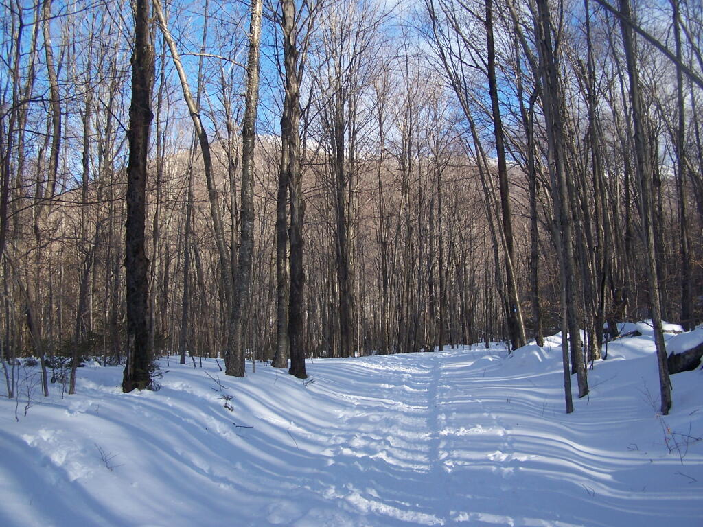
Starting Up the Spruceton Trail

The Old Hunter Road (abandoned 1937) is straight, wide, and modest ascent. With the sun rising, I had issues with snow blindness, but it offered some interesting broken views of West Kill Mountain in the background.
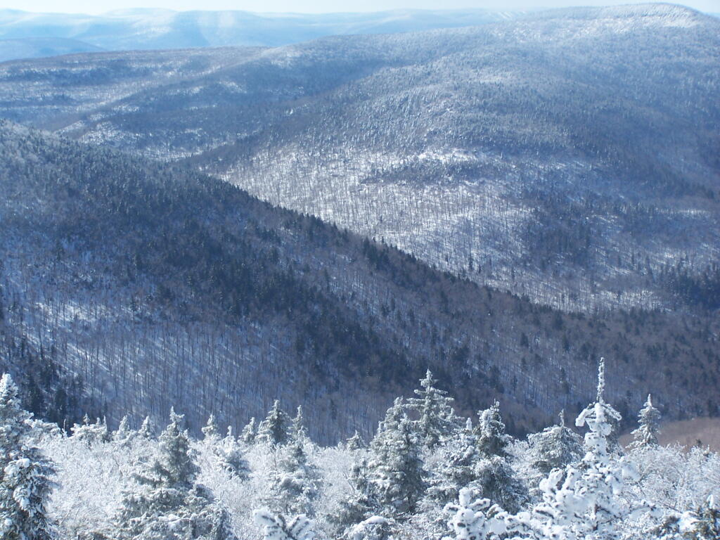
Westkill Mountain from Hunter

About half-way up the Mountain, you reach the “saddle” between Rusk and Hunter Mountain. After snowshoeing for a little over an hour, with this sign telling you there is 1.7 miles to go, an accent of 1,100 feet is a bit discouraging, but so be it.
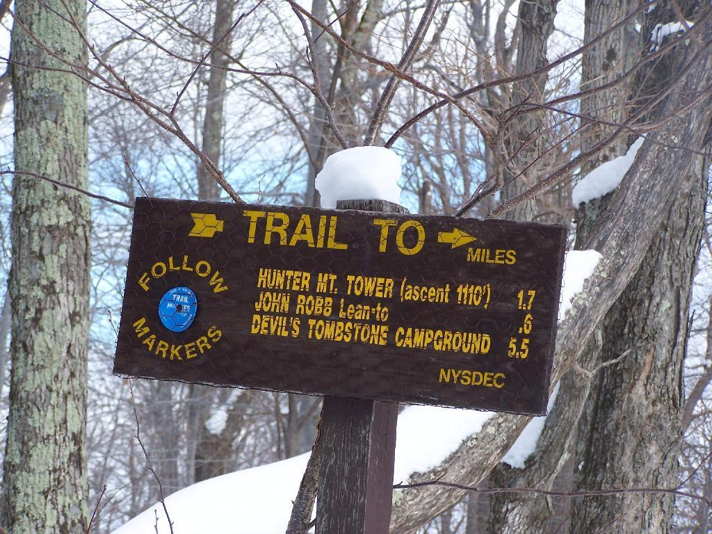
1.7 Miles to Hunter Tower

After about 2 hours of snowshoeing I reached the spring. The past half hour of hiking, from the saddle up to the spring, may not be a long distance at 1/2 mile, it is a vigrous but not not steep 500 foot ascent by an old but wide abandoned truck trail.
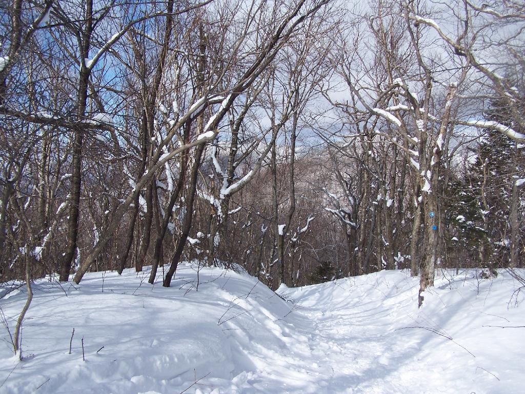
Looking Down a Steeper Trail

The AMC’s Best Day Hikes in the Catskills and Hudson Valley suggests that one has to be careful with drinking out of this spring, because thirsty horseback riders sometimes bring their horses back to give them a drink too, ignoring the sign.
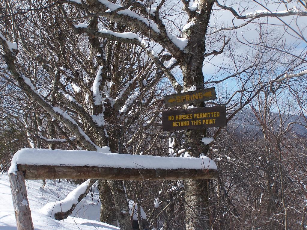
Spring

Going a little bit farther past the spring, you come across the trail down to the John Robb Lean To. About 1/4 mile and 100 feet below the Spruceton Trail, after going a narrow little rock crevice, there is the Spruceton Leanto.

From the Lean To, it’s approximately 1 mile to the Hunter Fire Tower. The next mile is either flat or a slight ascent, until you reach the last 1/4 mile of the trail where is ascent quickly with switchbacks, but again, not steeply.
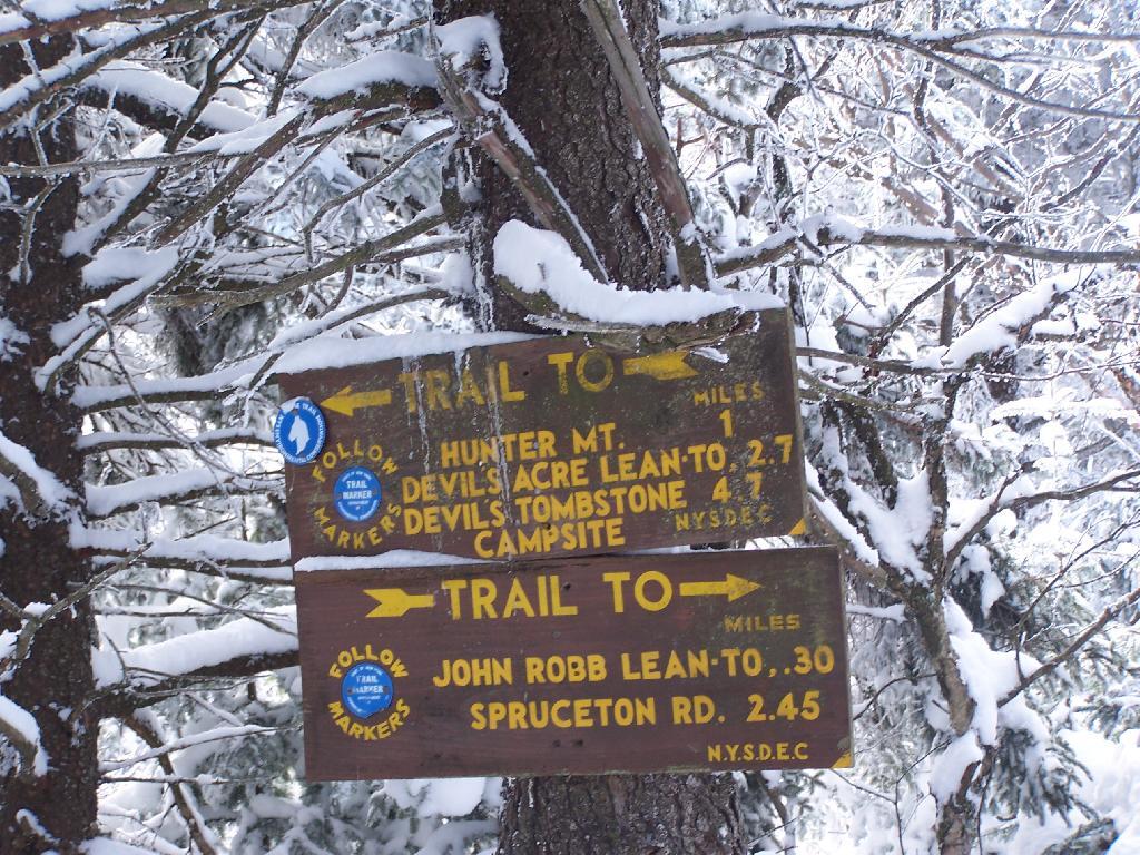
One Mile to Hunter Fire Tower

Finally after about 4 1/2 hours of snowshoeing (including breaks and taking photos), I reached the Hunter Mountain Fire Tower. By now it had clouded up, and it reminds one of a picture out of a movie.
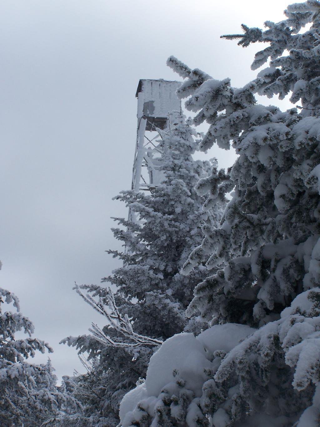
Approaching the Fire Tower

It felt good to get the snowshoes off, stop, and have some lunch for an extended break.
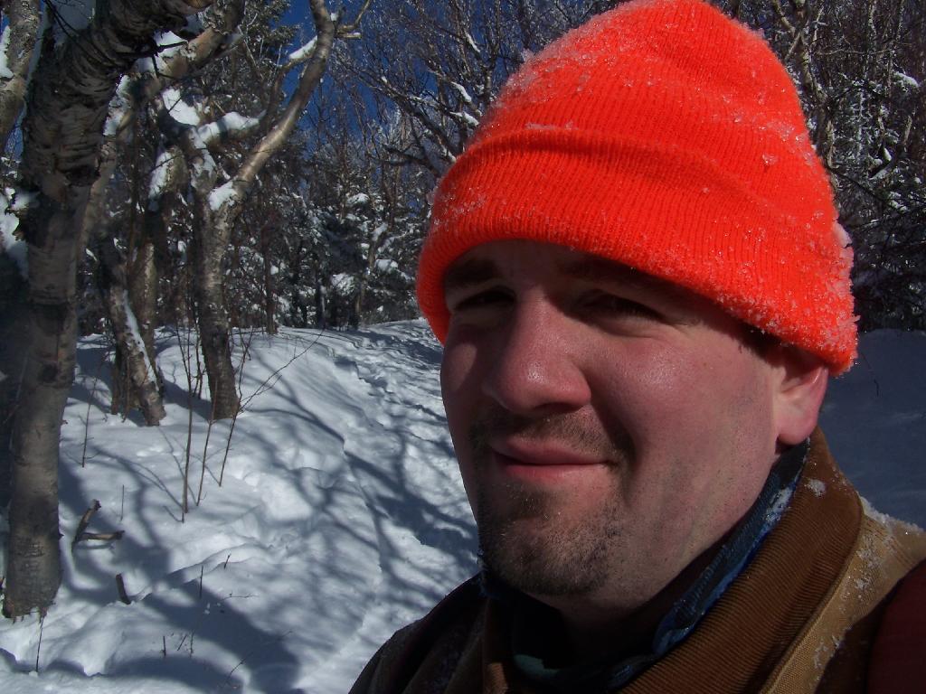
Snowshoeing Down the Trail

Looking North off the Fire Tower towards the Catskills famous TriMount-range aka Thomas Cole, Black Dome, and Black Head Mountains.
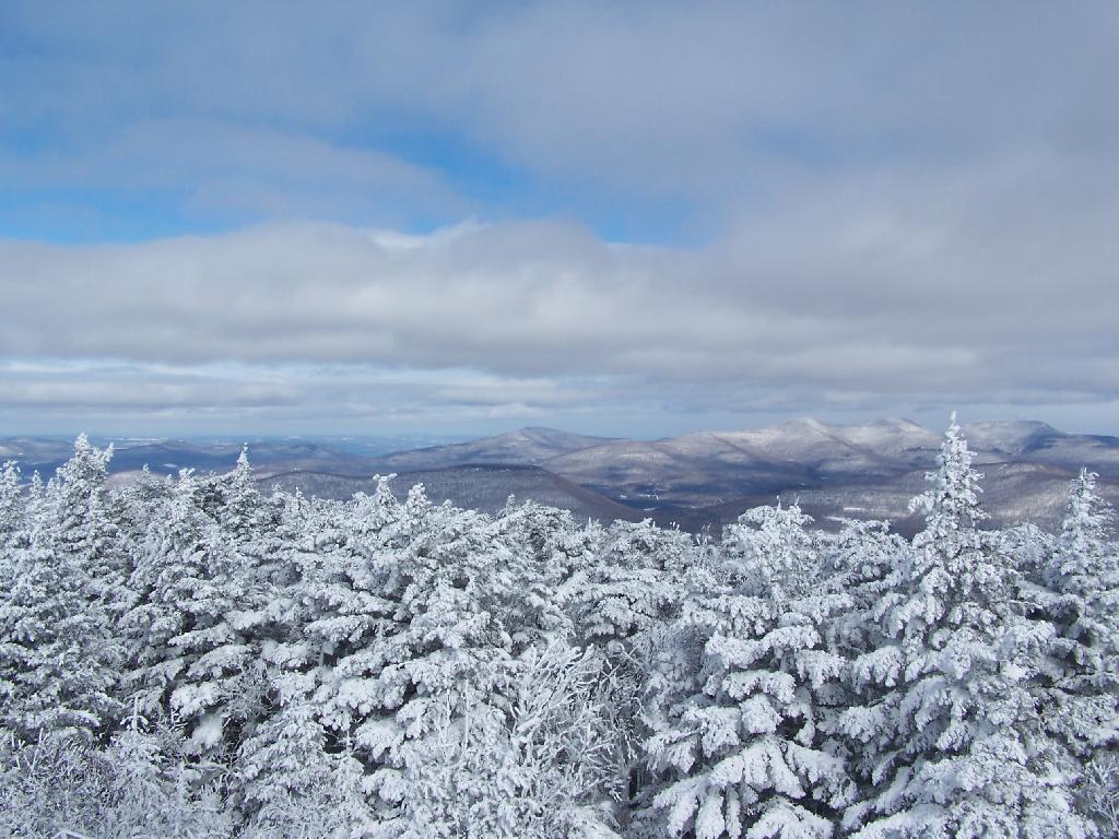
North from Tower

To the due east one can see Catskill’s Sunset Point, the upper Hudson Valley near Catskill, and in the distance, the Taconics, including the other Sunset Point in the Taconic State Park.
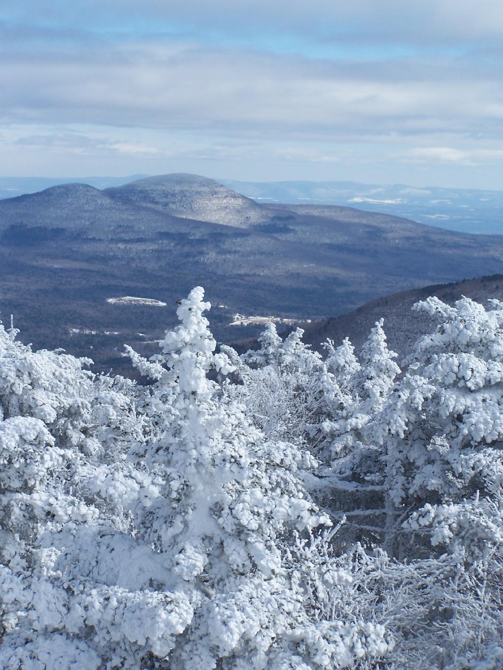
Sunset Point in the Catskills

It was frigid on the fire tower with the winds blowing. Off the tower it wasn’t quite so bad. After spending a little time relaxing at the picnic table, and putting another layer of clothes on, I headed south along the blue trail to the Hunter Mountain Overlook which overlooks the South-Western Catskills.
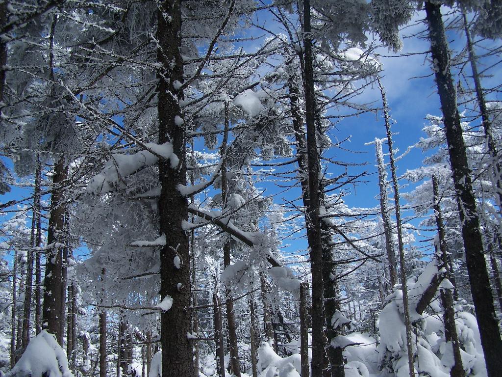
Boreal Forest

Reaching the Hunter Mountain Overlook, the views where quite amazing, showing mountains from Mount Tremper to the east to West Kill Mountain in the West.
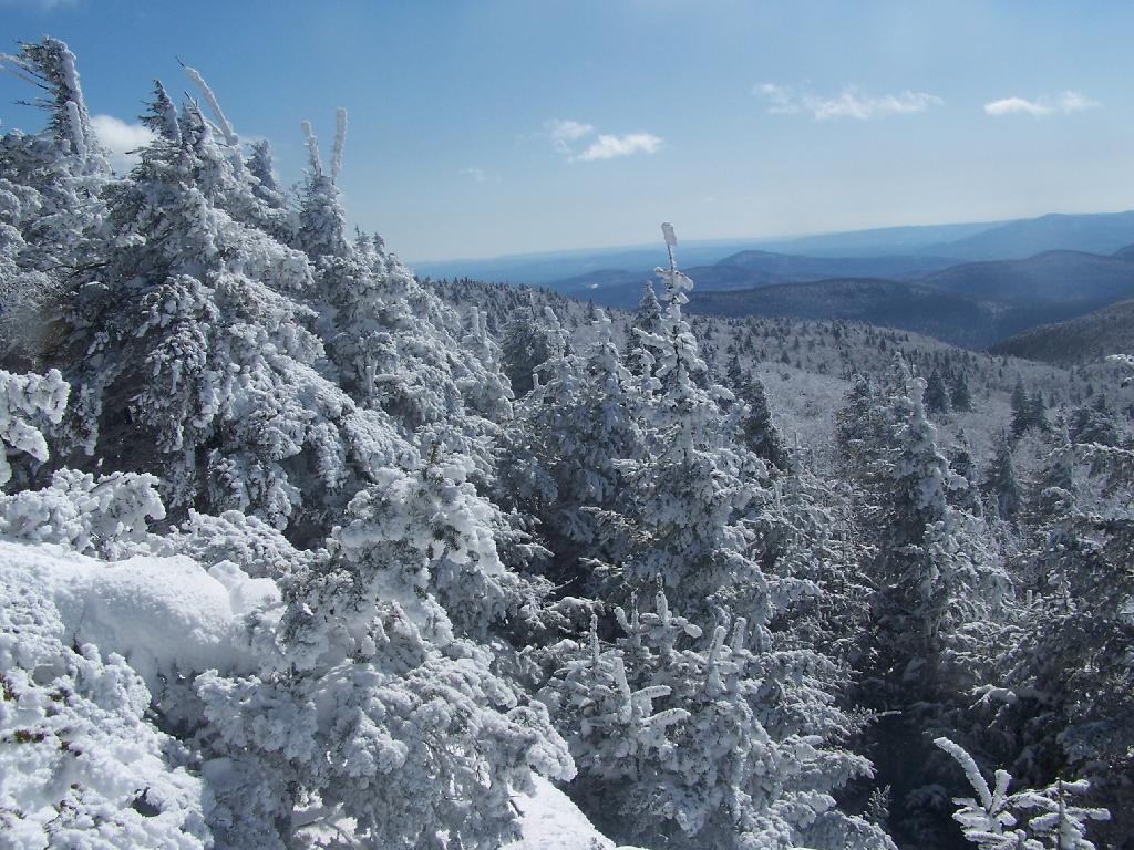
South

The saddle between Hunter and West Kill Mountain. It was amazingly beautiful.

Westkill Mountain from Hunter

After taking half a dozen photos at the Overlook, I headed back to the Fire Tower, and went up it once again. Here I am looking to the North West towards Blenheim Mountain and Schoharie County. The former Hunter Mountain Ranger’s cabin is in the foreground, with a snowboarder who snowshoed with board on back from Hunter Mountain Ski Resort on the balcony.
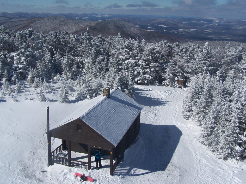
Ranger's Cabin

Here is South Hunter Mountain, looking due South.
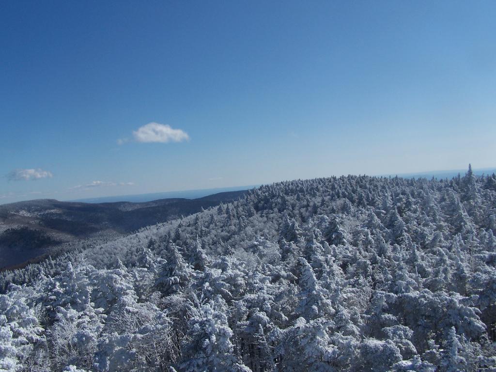
South Hunter Mountain

Heading back down the trail, looking at Rusk Mountain.
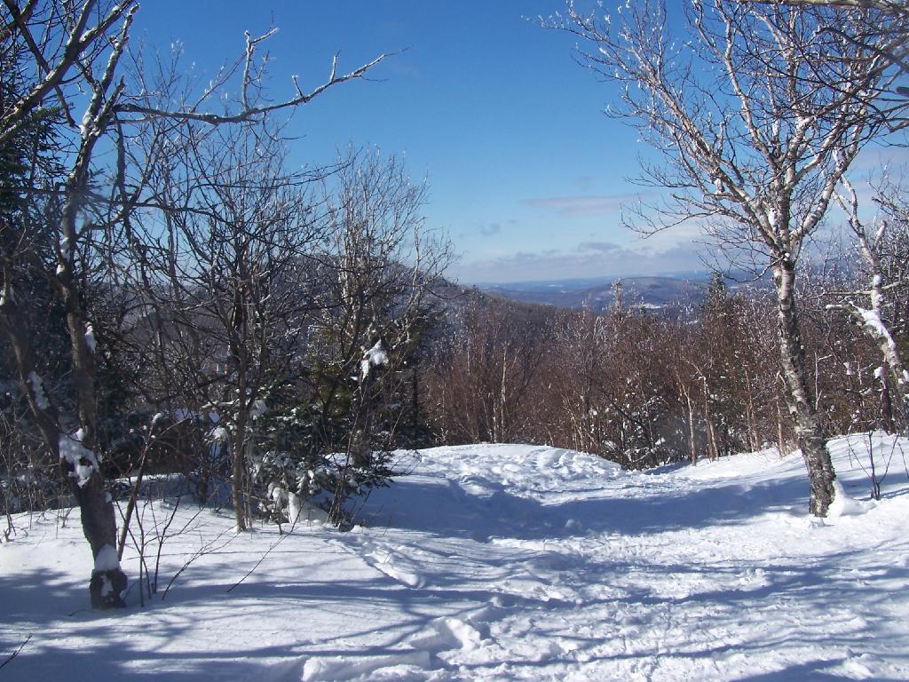
Looking Towards Rusk

I arrived back to my truck around 4 PM. I was tired, as snowshoeing is a lot more work then hiking. Snowshoes kind of drag on the snow, and the cold just makes everything a bit more tiresome. Yet, the beauty was amazing even at a balmy 22 degrees.
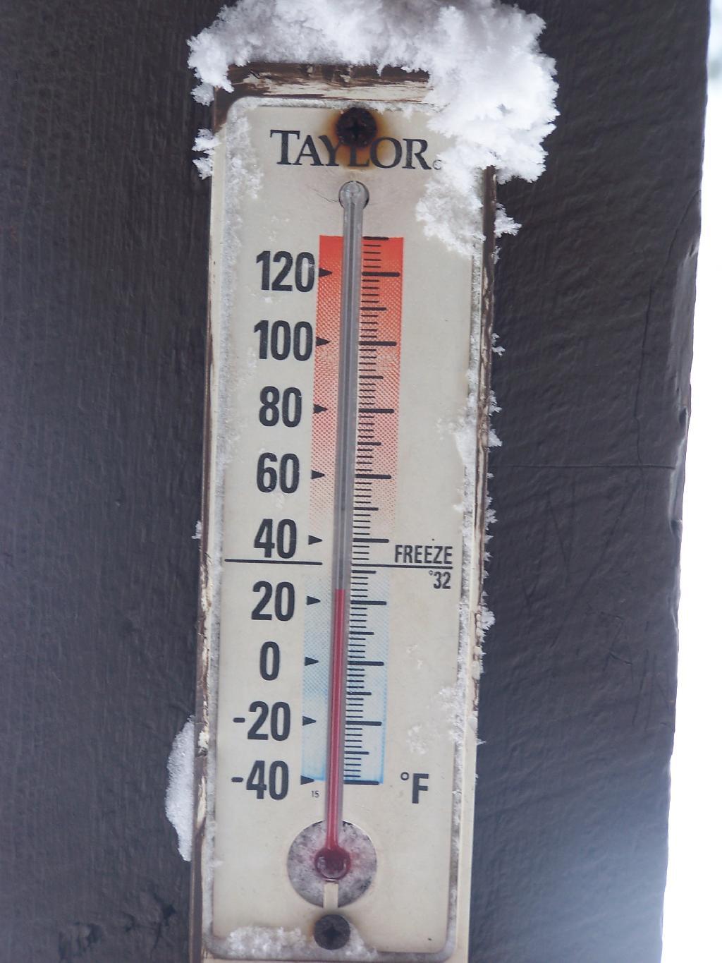
Balmy 24 Degrees

Make sure to browse all of the amazing photos from the hike up there. Also, see my April 12, 2009 trip up to Hunter Mountain via Mink Hollow.
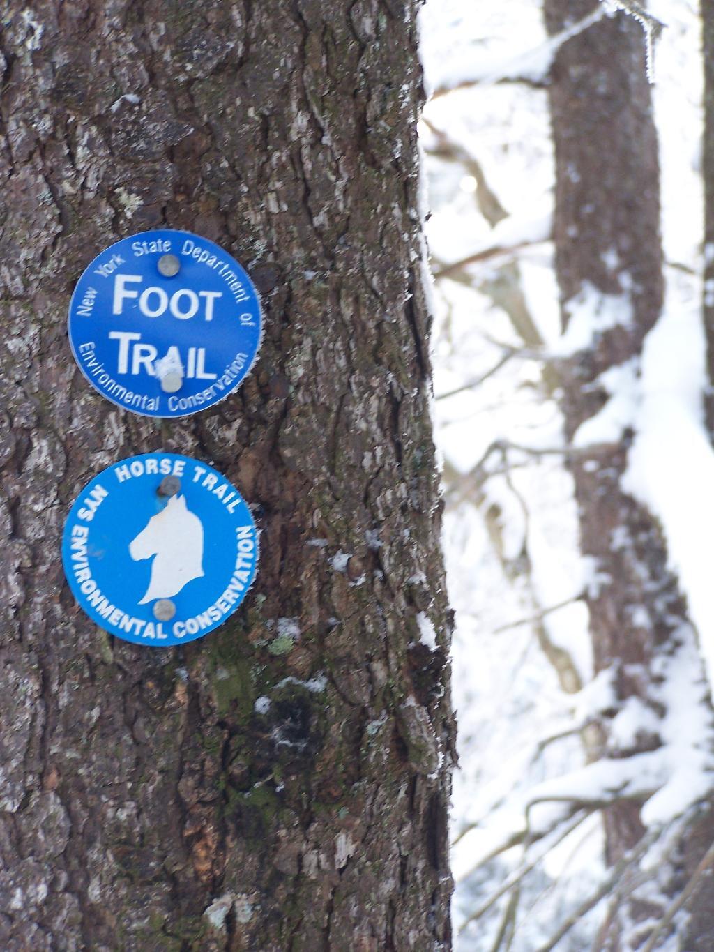
Co-Signed Spruceton Trail

Here is the map of the Spruceton Horse Trail up Hunter Mountain.