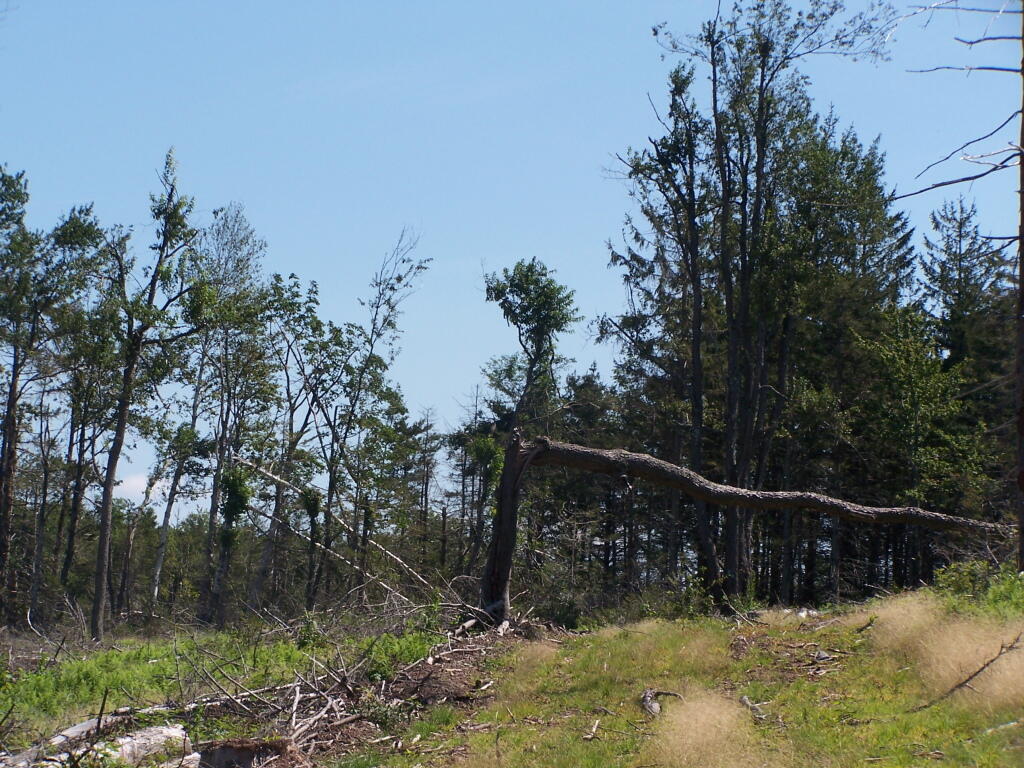
This portion of the Long Path was a little easier to follow, due to be along the log haul road, but there still was relatively few markers. Just past here, I turned back, as it was too difficult to follow, and it was getting late, having spent so much time looking for the trail.
Taken on Saturday August 28, 2010 at Ashland Pinnacle State Forest.
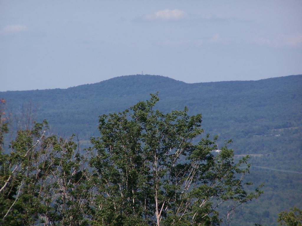
You can see the fire tower on Leonard Hill from this range. I hope some day they open that tower up, because I'm sure it has some great views of the Catskills.
Taken on Saturday August 28, 2010 at Ashland Pinnacle State Forest.
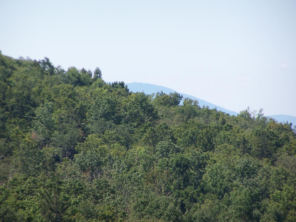
Ashland Pinnacle is to the extreme right, with the East Jewett Range in the foreground, and Evergreen, Rusk, Hunter behind it.
Taken on Saturday August 28, 2010 at Ashland Pinnacle State Forest.
It's hiding out behind Ashland Pinacle in the foreground.
Taken on Saturday August 28, 2010 at Ashland Pinnacle State Forest.
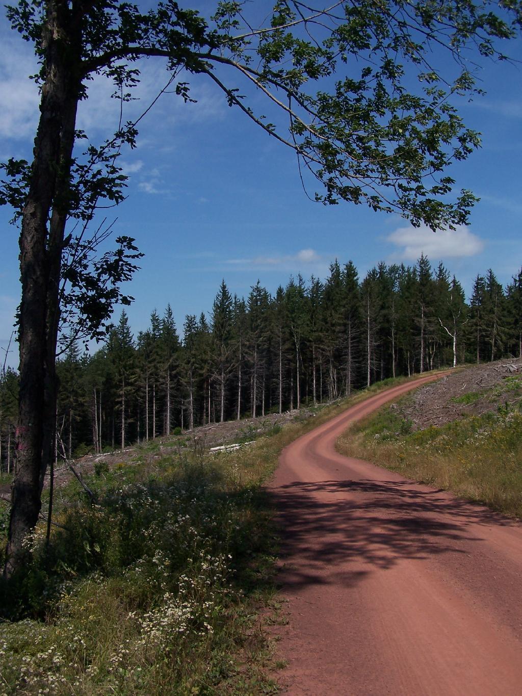
This is the spur off the main DEC Road up and over South Mountain. It leads part of the way up Richmond Mountain before it peters out to a logging road. Notice how the DEC has clear cut this area.
Taken on Saturday August 28, 2010 at Ashland Pinnacle State Forest.
You can see where they have clear cut this section, just above the hairpin turn. They took the wood they wanted, and left a lot of logging trash for critters to live in until a new forest grows on up.
Taken on Saturday August 28, 2010 at Ashland Pinnacle State Forest.
This is up on the ridge of South Mountain, below Ashland Pinnacle. The trail was hard to follow through this section, as a lot of trees that had blazes on them where long fallen, although for a while the trail followed the log haul road.
Taken on Saturday August 28, 2010 at Ashland Pinnacle State Forest.


