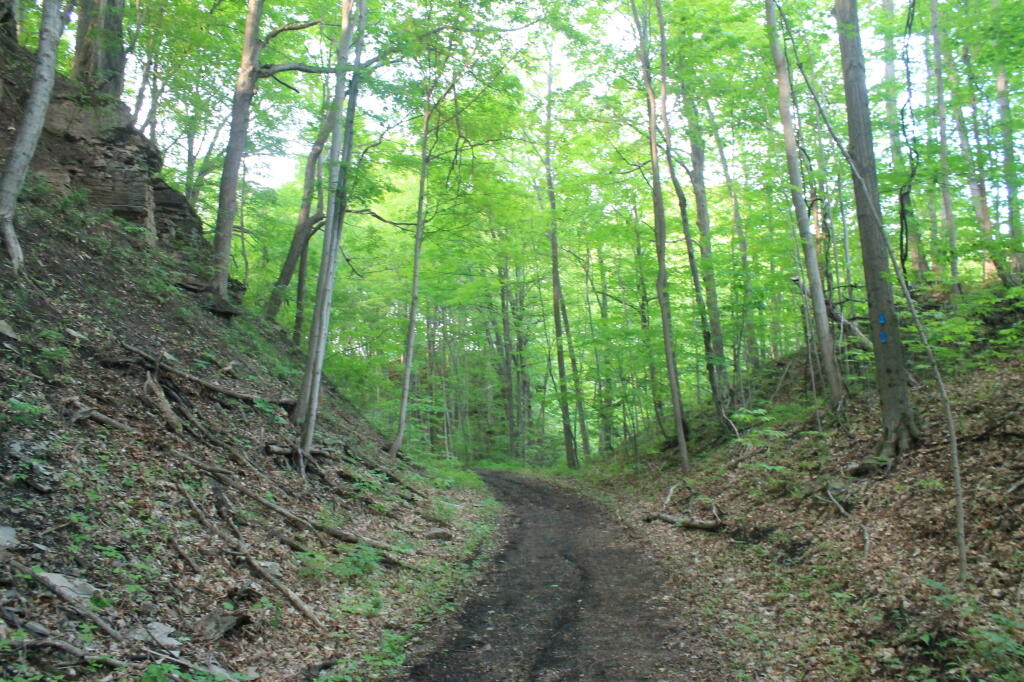
Old Railway Bed Cuts Through Gorge Andy | May 18, 2025 Sunday May 25, 2014 — Canastota-Cazenovia State Trailway
Edge of Tailings Pile Andy | May 18, 2025 This picture gives you a more realistic view of what the tailings pile road looks like, when your not trying to make everything look all purty. Saturday May 21, 2011 — Tahawus