QGIS User 0033 – Creating Point Clouds
Entries – Qgis 3.18 Changelog
A number of exciting new features coming out in QGIS but I'm most excited about native point cloud support.
Be careful with the black ice! 👟
Be careful with the black ice! 👟
Definitely some really icy spots when I was out walking tonight. My driveway particularly icy and bad. Got was enough today that a lot of places melted and refroze.
Promence
Slide Mountain is 4,180 ft elevation, highest point in Ulster County. The lowest place in Ulster County is the Hudson River at 0 ft elevation.
That said, Mount Marcy is 5,344 ft elevation in Essex County. The lowest place in Essex County is Lake Champlain at 95 ft above sea level.
Building A Bug Out Bag – Part 1
Building A Bug Out Bag – Part 1
2/4/21 by The Off Grid Outpost
Web player: https://podcastaddict.com/episode/118714861
Episode: https://anchor.fm/s/2896f6b8/podcast/play/26213017/https%3A%2F%2Fd3ctxlq1ktw2nl.cloudfront.net%2Fstaging%2F2021-1-4%2F7f3ee229-7134-0159-d46a-374af99d8f10.mp3
In this miniseries, we will go over all the basics that you want to put into your bug out bag, and then some! We cover the foundational gear you need to survive, along with what type of backpack you should choose for your bug out bag. All gear referenced can be found at Maximum Off Grid’s Ultimate Bug Out Bag article: https://maximumoffgrid.com/survival-skills/ultimate-bug-out-bag-checklist-2021/ Happy prepping! — Send in a voice message: https://anchor.fm/theoffgridoutpost/message
Ever since that leaking railroad car at the plastics plant last summer this is something that I’ve been thinking more about. I now keep a lot more duplicate gear in my truck cap for camping – both for convenience when I plan to head out camping and so I don’t have to spend so much time getting ready to head out of town in an emergency or elsewhere. Especially in a pandemic, you don’t want to be anywhere near a shelter.
Shadows
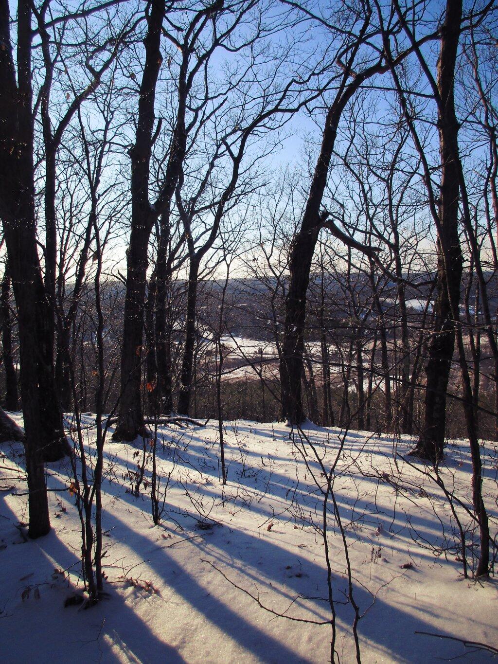
After sun cast shadows on the land.
Taken on Saturday February 8, 2020 at Holt Preserve.