May 28, 2020 Night

Good evening! Cloudy, muggy and 73 degrees in Delmar, NY. ☁ There is a south breeze at 13 mph. πŸƒ. The dew point is 66 degrees. The skies will clear Saturday around 11 am.

A fairly quiet day, I got my remaining camping gear put away, πŸ”±and spend a lot of time vacuuming up sand πŸ‘£I managed to track everywhere from working Wednesday at the beach 🏊 and running back to my truck πŸƒ when I needed run reports or export something from Excel.

It was kind of a hot and sticky day, ♨ not oppressive but you definitely felt the sop when you moved around and burned some calories. The long hair πŸ’‡was particularly gross in the heat and humidity despite washing it in the morning and trimming my sideburns and goatee down to a reasonable length.

I went down to the library for a while this afternoon and worked down there πŸ’». I was having trouble with the internet but ultimately I moved closer to the library and swapped to a different version of the kernel driver which seemed to improve the Wi-Fi reception. πŸ“Ά The Wi-Fi has been always kind of problem with this laptop as the Linux driver has always been a bit buggy.

I went for my evening walk 🚢 and eat the remaining pasta 🍲 I made for lunch. Caught up on the YouTube videos πŸ“Ή that I downloaded earlier in the day. I haven’t followed the usual YouTube stuff as closely as I’d rather sit out back then watching videos. Plus in the spring, how many hours of video do you really want to watch of people hauling manure. πŸ’© A lot of that in spring time on the YouTube. I also was having issues with my YouTube download script I had to fix.

Tonight will have a chance of showers, mainly between midnight and 4am. Mostly cloudy 🌧, with a low of 68 degrees at 4am. 17 degrees above normal. Maximum dew point of 66 at 10pm. South wind 10 to 13 mph. Chance of precipitation is 30%. New precipitation amounts of less than a tenth of an inch possible. In 2019, we had mist in the evening, which became partly cloudy by the early hours of the morning. It got down to 49 degrees. The record low of 34 occurred back in 1956.

Tonight will have a First Quarter πŸŒ“ Moon with 39% illuminated. At 10 PM, the moon was in the west-southwest (258Β°) at an altitude of 38Β° from the horizon, some 229,937 miles away from where you are looking up from the earth. πŸš€ At the state speed limit of 55 mph, you’ll make it there by November 19th. Buckle up for safety! πŸ’Ί The Strawberry πŸ“ Moon is on Friday, June 5. The darkest hour is at 12:54 am, followed by dawn at 4:49 am, and sun starting to rise at 5:23 am in the east-northeast (59Β°) and last for 3 minutes and 22 seconds. Sunrise is 37 seconds earlier than yesterday. πŸŒ„ The golden hour ends at 6:05 am with sun in the east-northeast (66Β°). Tonight will have 8 hours and 57 minutes of darkness, a decrease of one minute and 26 seconds over last night.

Tomorrow will have a chance of showers, with thunderstorms also possible after 11am. Some of the storms could produce small hail, gusty winds, and heavy rain. Mostly cloudy 🌧, with a high of 85 degrees at 3pm. 12 degrees above normal. Maximum dew point of 69 at 1pm. South wind 9 to 11 mph. Chance of precipitation is 50%. New rainfall amounts between a tenth and quarter of an inch, except higher amounts possible in thunderstorms. A year ago, we had rain in the morning with a few breaks of sun the afternoon. The high last year was 64 degrees. The record high of 93 was set in 1931.

In four weeks on June 25 the sun will be setting in the west-northwest (303Β°) at 8:37 pm,πŸŒ„ which is 13 minutes and 43 seconds later then tonight. In 2019 on that day, we had rain and temperatures between 86 and 68 degrees. Around the latest sunset of the year, already moving a bit further west and less north as winter approaches again. Typically, you have temperatures between 80 and 59 degrees. The record high of 95 degrees was set back in 1898.
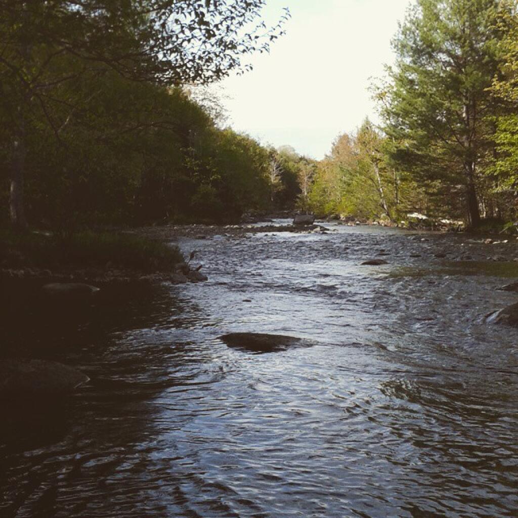
Black River

Despite Health Risks, U.S. Military Will Burn Firefighting Foam

Despite Health Risks, U.S. Military Will Burn Firefighting Foam

Although incineration is the military’s chosen disposal method, there has been little research on the safety of burning the foam. Two studies concluded that the incineration of PFAS chemicals would not be a source of further contamination, but both were funded by companies with a vested interest in making the problem go away. The first study was funded by DuPont, which used PFOA in the production of Teflon. The second was funded by 3M, which developed AFFF in partnership with the Navy in the 1960s and was the military’s exclusive supplier of AFFF for decades.

But some of the scant research on the topic suggests that incineration may not fully destroy PFAS. After PCBs were found in chicken eggs laid near an incinerator, a 2018 study determined that PFOA was released into the air by a municipal incinerator in the Netherlands. The author concluded that “modern incinerators cannot fully destroy” PFOA, PCBs, and other persistent chemicals.

Piseco Road Closed β›”

Piseco Road Closed β›”

I am super frustrated and disappointed that it looks like lower Piseco-Powley Road south of the Hamilton County line may remain close for most of the summer.

While there is access via Piseco to all areas north of the Potholers and Brayhouse falls via the north end of the road, they’ve not still fully filled in the enormous wash outs around the wall at House Pond Campsite or the culvert washed out at Brayhouse Brook.

They were working on rebuilding the road last year for snowmobiles and all indications suggest that the Town of Stratford with the DEC plans to restore the road but it’s a matter of time and finding. Both have slowed down with the pandemic.

This closure means fewer summer weekends cooling off in the potholers for me, less camping out at Powley Place and paddling the East Branch. Even more annoying is that other developed swimming areas and pools remain likely closed with the pandemic. I had thought about making it my summer vacation this year as an alternative to the Finger Lakes. Too bad, kind of sucks.

Lean-tos with Outhouses

A list of lean-tos on state lands with an outhouse within 150 feet.

Forest Lean-To Name Description Region Latitude Longtitude
Big Indian Wilderness Shandaken Brook Lean-To 3 42.0502743293466 -74.5106001666636
Big Indian Wilderness Biscuit Brook Lean-To 3 42.0091051509829 -74.4838519036791
Delaware Wild Forest Mud Pond Trail Lean-To 4 42.0116839995216 -74.9476810002715
Hunter-West Kill Wilderness Diamond Notch Lean-To 4 42.1694869998955 -74.2569359998362
Blue Mountain Wild Forest Tirrel Pond North Lean-To 5 43.8873444775573 -74.3788006260605
Blue Mountain Wild Forest O’Neill Flow Lean-To 5 43.8755968409362 -74.3664262369705
Blue Ridge Wilderness Wilson Pond Lean-To 5 43.8201917816146 -74.4686803224003
Blue Ridge Wilderness Cascade Pond Lean-To 5 43.8299374729896 -74.4366163022193
Blue Ridge Wilderness Stephens Pond Lean-To 5 43.818673668555 -74.4205248717271
Giant Mountain Wilderness Giant Mtn. Lean-To 5 44.1759172264724 -73.7215350426426
Hammond Pond Wild Forest Moose Mt Pond Lean-To 5 43.9655912049299 -73.6440374623141
High Peaks Wilderness Catlin Bay #2 Lean-To 5 43.9972143811434 -74.3959393656481
High Peaks Wilderness Catlin Bay #1 Lean-To 5 43.9980126926989 -74.3927845610842
High Peaks Wilderness Hidden Cove Lean-To 5 44.0026552881939 -74.3864802632516
High Peaks Wilderness Rodney Point #1 Lean-To 5 44.0414093848994 -74.3501490963956
High Peaks Wilderness Rodney Point #2 Lean-To 5 44.0429767454126 -74.3493346475314
High Peaks Wilderness Plumley Point #2 Lean-To 5 44.0655989161076 -74.32761224546
High Peaks Wilderness Cold River #3 Lean-To 5 44.0914592780512 -74.257641750845
High Peaks Wilderness Cold River #4 Lean-To 5 44.0913902533326 -74.2557348025251
High Peaks Wilderness Moose Pond Stream Lean-To #2 5 44.079553878647 -74.2391509433142
High Peaks Wilderness Moose Pond Stream Lean-To 5 44.079589788976 -74.2389368366902
High Peaks Wilderness Seward Lean-To 5 44.1062441376862 -74.2091536427719
High Peaks Wilderness Ouluska Pass Brook Lean-To 5 44.1202212816036 -74.1874471739093
High Peaks Wilderness Newcomb Lake Lean-To #1 5 44.0158171441475 -74.1523218842845
High Peaks Wilderness Newcomb Lake Lean-To #2 5 44.0205306743106 -74.1522782706761
High Peaks Wilderness Cold River #2 Lean-To 5 44.1425166431718 -74.1303582429155
High Peaks Wilderness Cold River Lean-To #1 Lean-To 5 44.1427273762849 -74.1298402106559
High Peaks Wilderness Duck Hole #1 Lean-To 5 44.1416268740099 -74.1069373467662
High Peaks Wilderness Duck Hole #2 Lean-To 5 44.1416768646683 -74.1065435467226
High Peaks Wilderness Moose Pond Lean-To 5 44.1828433824027 -74.07364102376
High Peaks Wilderness Henderson Lake Lean-To 5 44.104178442066 -74.066913293691
High Peaks Wilderness Beaver Point #1 5 44.1210154790382 -73.9821264349125
High Peaks Wilderness Beaver Point #2 5 44.1207874446534 -73.9817139903994
High Peaks Wilderness Kagel Lean-To 5 44.1494011459341 -73.9557902346565
High Peaks Wilderness Marcy Brook Lean-To 5 44.1469386474738 -73.9552287452665
High Peaks Wilderness Panther Gorge Lean-To 5 44.099635151426 -73.9133647612345
High Peaks Wilderness Lilian Brook Lean-To 5 44.0601596208968 -73.807816780134
High Peaks Wilderness Slide Brook Lean-To 5 44.0441261980002 -73.8058583966018
High Peaks Wilderness Bouquet Lean-To 5 44.1082054720282 -73.7738312580535
Hurricane Mountain Primitive Area Gulf Brook Lean-To 5 44.253019593455 -73.7180348153422
Hurricane Mountain Primitive Area Lost Pond/Biesemeyer Lean-To 5 44.2607301476158 -73.7100106668894
Lake George Wild Forest Black Mountain Ponds Lean-To Lean-To With Privy And Fire Ring 5 43.5996600138705 -73.5330643345846
Lake George Wild Forest Lapland Pond Lean-To Campsite With Lean-To 13-27 5 43.5958213340907 -73.5179510245416
Mckenzie Mountain Wilderness Placid Lean-To 5 44.3214560456649 -74.030786043903
Sentinel Range Wilderness Copperas Pond Lean-To 5 44.3317122951397 -73.8997103538312
Shaker Mountain Wild Forest Holmes Lake Lean-To 5 43.1885867657416 -74.4310218122738
Siamese Ponds Wilderness John Pond Lean-To 5 43.7278247361895 -74.2012685562129
Siamese Ponds Wilderness E. Sacandaga River Lean-To 5 43.6154338756917 -74.1499734599501
Silver Lake Wilderness Mud Lake Lean-To 5 43.342671073158 -74.4562907856386
Silver Lake Wilderness Hamilton Lake Stream #1 Lean-To 5 43.3974135951753 -74.4552975900222
Taylor Pond Wild Forest Poke-O-Moonshine Summit Lean-To 5 44.3997973548695 -73.5145569962096
Vanderwhacker Mountain Wild Forest Stony Pond Lean-To 5 43.8387348152587 -73.9856219153826
West Canada Lake Wilderness West Lake #1 Lean-To 5 43.5931622288498 -74.6268866843131
West Canada Lake Wilderness West Lake #2 Lean-To 5 43.5970642572198 -74.6231056495758
West Canada Lake Wilderness South Lake Lean-To 5 43.58724480971 -74.6215788383727
West Canada Lake Wilderness West Canada Creek Lean-To 5 43.5869876140516 -74.6139979710011
West Canada Lake Wilderness Spruce Lake #1 Lean-To 5 43.5272841125778 -74.6099246975027
West Canada Lake Wilderness Spruce Lake #3 Lean-To 5 43.5371297279245 -74.6082096280248
West Canada Lake Wilderness Spruce Lake #2 Lean-To 5 43.5346306298339 -74.608085803069
West Canada Lake Wilderness T Lake Lean-To 5 43.4527175891905 -74.5822815394449
West Canada Lake Wilderness Beaver Pond (AKA Cedar Lakes Lean-To #2) 5 43.6259693968044 -74.5492715037002
West Canada Lake Wilderness Cedar Lakes #1 Lean-To 5 43.6281256650379 -74.5404732399266
West Canada Lake Wilderness Pillsbury Lake Lean-To 5 43.5968984708902 -74.5316653645311
West Canada Lake Wilderness Carry Lean-To 5 43.6787448834709 -74.4954982187945
West Canada Lake Wilderness Colvin Brook Lean-To 5 43.6524139144065 -74.4903803529398
Black River Wild Forest Bear Lake Lean-To 6 43.6000735406502 -75.0530032053211
Black River Wild Forest Sand Lake Falls Lean-To 6 43.5589723655294 -75.0029762567594
Five Ponds Wilderness Griffin Rapids Lean-To Aka Oswegatchie River Campsite 38. With Full Sized Privy. Checked 05/2016. 6 44.0841653919081 -74.9687479733594
Five Ponds Wilderness High Falls No. 2 Lean-To Aka Oswegatchie River Campsite 13. With Full Sized Privy. 6 44.0689134869774 -74.9113129664397
Five Ponds Wilderness High Falls No. 1 Lean-To Aka Oswegatchie River Campsite 15. With Full Sized Privy. 6 44.0689098251132 -74.9093969117936
Pigeon Lake Wilderness Gull Lake Lean-To 6 43.8574321808094 -74.8250005772908
Wolf Lake State Forest Wolf Lake Lean-To 6 44.3363136708752 -75.3138633269515
Sugar Hill State Forest Parks Hollow Lean-To Log 8 42.3690917205455 -77.0130036276398
Sugar Hill State Forest The Twin Lean-To’s 2 Lean-To At This Location 8 42.3822533325968 -77.0026799994935
Sugar Hill State Forest Vanzandt Lean-To 8 42.3898077706314 -76.972589837336

Chance of Thunder Lean To

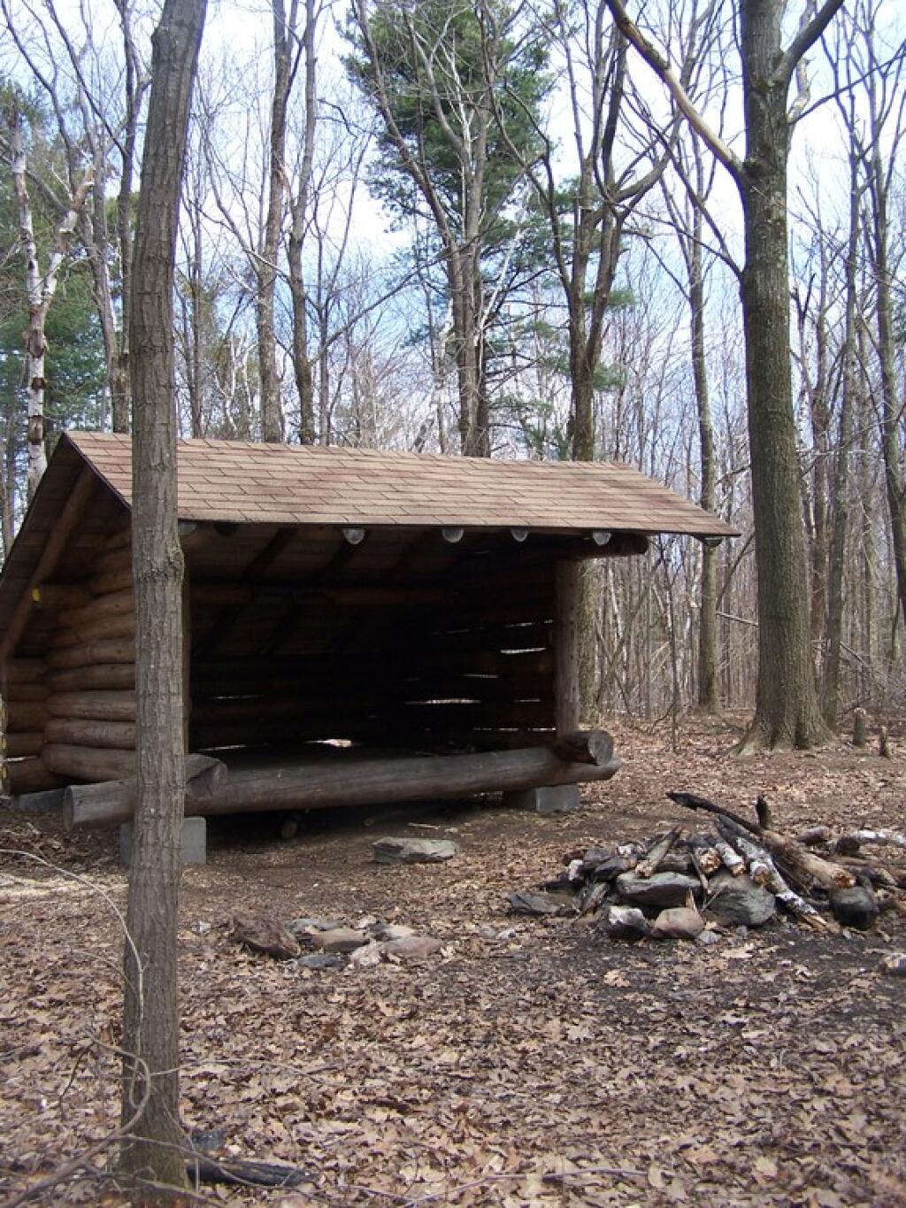
Last week I got an email requesting a list of lean-tos on state land that have full accomindations - that is an outhouse or pit privy. So I made up that list, and figured I'd share it as some might find it useful.

I am concerned with the prospect of state swimming pools being closed this summer, especially in light of lower Piseco-Powley Road being closed, but there may be hope with at least Pennsylvania opening up their pools

I am concerned with the prospect of state swimming pools being closed this summer, especially in light of lower Piseco-Powley Road being closed, but there may be hope with at least Pennsylvania opening up their pools. Pennsylvania if anything has been more restrictive then New York.

DCNR announces phased opening of state park swimming beaches and some pools to ensure opportunities to safely enjoy…

Posted by Pennsylvania Department of Conservation and Natural Resources on Thursday, May 28, 2020