May 14, 2020 Morning
Good morning! Happy Thursday. Sunny and 35 degrees in Delmar, NY. 🌞 Calm wind. Chilly start to the morning. Should be a nice day until it clouds up. I’m going for my morning walk 🚶 shortly.
Today will have areas of frost before 8am. Otherwise, increasing clouds 🌞, with a high of 67 degrees at 4pm. Two degrees below normal, which is similar to a typical day around May 9th. Light south wind increasing to 5 to 10 mph in the morning. A year ago, we had light drizzle in the morning, which became light rain by afternoon. The high last year was 48 degrees. The record high of 93 was set in 1900.
Solar noon 🌞 is at 12:53 pm with sun having an altitude of 66.2° from the due south horizon (-4.7° vs. 6/21). A six foot person will cast a 2.7 foot shadow today compared to 2.2 feet on the first day of summer. The golden hour 🏅 starts at 7:30 pm with the sun in the west-northwest (290°). 📸 The sunset is in the west-northwest (297°) with the sun dropping below the horizon at 8:11 pm after setting for 3 minutes and 14 seconds with dusk around 8:42 pm, which is one minute and 3 seconds later than yesterday. 🌇 The best time to look at the stars is after 9:23 pm. At sunset, look for rain showers around 🌧 and temperatures around 60 degrees. There will be a south breeze at 7 mph. Today will have 14 hours and 36 minutes of daytime, an increase of 2 minutes and 6 seconds over yesterday.
Tonight will have showers likely, then showers and possibly a thunderstorm after 11pm. 🌧 Low of 51 degrees at 5am. Four degrees above normal, which is similar to a typical night around May 27th. Maximum dew point of 50 at 5am. 🏖️ South wind around 8 mph. Chance of precipitation is 80%. New rainfall amounts between a quarter and half of an inch possible. In 2019, we had light rain in the evening, which became partly cloudy by the early hours of the morning. It got down to 43 degrees. The record low of 31 occurred back in 1977.
Latest weekend forecast has improved. 😎 Saturday, mostly sunny, with a high near 72. North wind 6 to 8 mph. Maximum dew point of 52 at 6am. Sunday, partly sunny, with a high near 69. Maximum dew point of 50 at 4pm. Typical average high for the weekend is 70 degrees.
I will have to decide if this will change my weekend plans. ⛺ It’s not a big deal to change at this point especially when I’m working from home. But I’ll have to change my shopping menu if I do decide to go camping. I’ll have to think about it more.
One month 📅 from now will be Fathers Day 👨 when the sun will be setting at 8:34 pm with dusk at 9:09 pm.
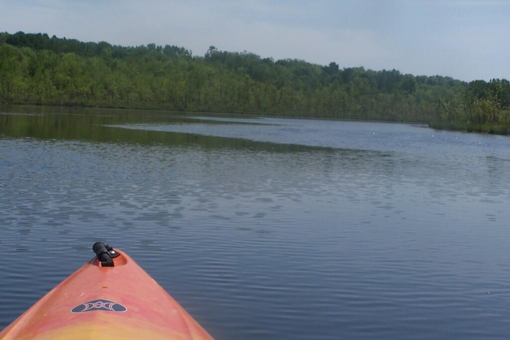
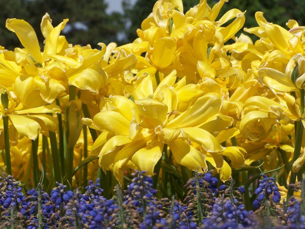
Blue and Yellow
NPR
Bright is testifying before the House Energy and Commerce Subcommittee on Health, which called the hearing after Bright filed a whistleblower complaint with the Office of Special Counsel.
Bright contends he was removed from his post as director of the Biomedical Advanced Research and Development Authority by top officials at the Department of Health and Human Services "in response to my insistence that the government invest funding allocated to BARDA by Congress to address the COVID-19 pandemic into safe and scientifically vetted solutions, and not in drugs, vaccines and other technologies that lack scientific merit," according to his prepared testimony, released Tuesday by the subcommittee.
Peaks on State Land in Hudson Valley, Northern Catskills and Long Island
A list of peaks on state land shown in the Open Street Map along with coordinates for Department of Environmental Conservation Regions 1 through 4 excluding the Catskill Park. These peaks are in the Heldebergs, Taconics, Hudson Highlands, Shawgunks and hills outside of the Catskill Park.
Region 1 – Suffolk County (Long Island)
| Peak Name | Elevation in Feet | State Land | Class | UMP | Region | County | Location |
|---|---|---|---|---|---|---|---|
| Flanders Hill | 230 | David A. Sarnoff Preserve | North Atlantic | 1 | Suffolk | 40.8745441, -72.6045377 |
Region 3 – Dutchess County County (Hudson Highlands)
| Peak Name | Elevation in Feet | State Land | Class | UMP | Region | County | Location |
|---|---|---|---|---|---|---|---|
| Depot Hill | 1305 | Depot Hill Multiple Use Area | Lower New England East | 3 | Dutchess | 41.5753714, -73.6751291 |
Region 3 – Putnam County (Hudson Highlands)
| Big Buck Mountain | 1115 | Big Buck Mountain Multiple Use Area | Lower New England East | 3 | Putnam | 41.4948155, -73.7165195 | |
| California Hill | 1178 | California Hill State Forest | Lower New England East | 3 | Putnam | 41.4373157, -73.7762439 | |
| Castle Rock | 626 | Castle Rock Unique Area | Lower New England East | 3 | Putnam | 41.367316, -73.935416 | |
| Cranberry Mountain | 1233 | Cranberry Mountain WMA | Cranberry Mountain Hmp | 3 | Putnam | 41.5037049, -73.5626259 | |
| Nimham Mount | 1273 | Nimham Mountain Multiple Use Area | Lower New England East | 3 | Putnam | 41.461407, -73.7250815 | |
| Pigeon Hill | Bashakill WMA | 3 | Sullivan | 41.538532, -74.5191017 | |||
| Unnamed Peak | 1414 | Wurtsboro Ridge State Forest | Shawangunk Ridge | 3 | Sullivan | 41.5944736, -74.4385778 |
Region 3 – Orange County (Greater Newburgh)
| Peak Name | Elevation in Feet | State Land | Class | UMP | Region | County | Location |
|---|---|---|---|---|---|---|---|
| Buchanan Hill | 649 | Stewart State Forest | West Of Hudson | 3 | Orange | 41.4912049, -74.1423678 | |
| Sloop Hill | 128 | Kowawese Unique Area | West Of Hudson | 3 | Orange | 41.4584271, -74.0156961 |
Region 4 – Albany County (Heldebergs)
| Peak Name | Elevation in Feet | State Land | Class | UMP | Region | County | Location |
|---|---|---|---|---|---|---|---|
| Blodget Hill | 1145 | Louise E. Keir WMA | Louise E. Keir Hmp | 4 | Albany | 42.5150798, -73.8954045 | |
| Henry Hill | 2162 | Partridge Run WMA | Partridge Run Hmp | 4 | Albany | 42.5495213, -74.1979138 |
Region 4 – Delaware County (Western Catskills outside Catskill Park)
| Peak Name | Elevation in Feet | State Land | Class | UMP | Region | County | Location |
|---|---|---|---|---|---|---|---|
| Jensen Hill | 1683 | Hancock Fp Detached Parcel | Wild Forest | 4 | Delaware | 41.8670322, -75.1543365 | |
| Kenyon Mountain | 2988 | Plattekill State Forest | East Branch | 4 | Delaware | 42.2938395, -74.6382349 | |
| McGregor Mountain | 3191 | Stamford Fp Detached Parcel | Wild Forest | 4 | Delaware | 42.3900808, -74.5790396 | |
| Murphy Hill | 2306 | Murphy Hill State Forest | East Branch | 4 | Delaware | 42.1311981, -74.8676606 | |
| Pine Hill | 2007 | Pine Hill State Forest | Treaty Line | 4 | Delaware | 42.2823038, -75.3435096 | |
| Plattekill Mountain | 3267 | Plattekill State Forest | East Branch | 4 | Delaware | 42.2667522, -74.6482102 | |
| Round Top | 3067 | Plattekill State Forest | East Branch | 4 | Delaware | 42.2714741, -74.6832109 |
Region 4 – Greene County (Northern Catskills outside Catskill Park)
Region 4 – Schoharie County (Northern Catskills outside Catskill Park)
Region 4 – Columbia County (Taconics)
| Peak Name | Elevation in Feet | State Land | Class | UMP | Region | County | Location |
|---|---|---|---|---|---|---|---|
| Beebe Hill | 1758 | Beebe Hill Multiple Use Area | Taconic Highlands | 4 | Columbia | 42.3359195, -73.485113 | |
| Pinnacle Point | 1952 | Harvey Mountain State Forest | Taconic Highlands | 4 | Columbia | 42.3103647, -73.4434453 |
Region 4 – Rensselear County (Taconics)
| Peak Name | Elevation in Feet | State Land | Class | UMP | Region | County | Location |
|---|---|---|---|---|---|---|---|
| Bald Mountain | 2483 | Taconic Ridge State Forest | Taconic Highlands | 4 | Rensselaer | 42.7648012, -73.2837205 | |
| Berlin Mountain | 2798 | Taconic Ridge State Forest | Taconic Highlands | 4 | Rensselaer | 42.6920245, -73.2862195 | |
| Berlin Mountain | 2795 | Taconic Ridge State Forest | Taconic Highlands | 4 | Rensselaer | 42.6917468, -73.2856639 | |
| Misery Mountain | 2601 | Taconic Ridge State Forest | Taconic Highlands | 4 | Rensselaer | 42.6184144, -73.3176081 | |
| Mount Raimer | 2572 | Taconic Ridge State Forest | Taconic Highlands | 4 | Rensselaer | 42.7161908, -73.2837199 | |
| White Rock | 2542 | Taconic Ridge State Forest | Taconic Highlands | 4 | Rensselaer | 42.753968, -73.2803869 |

