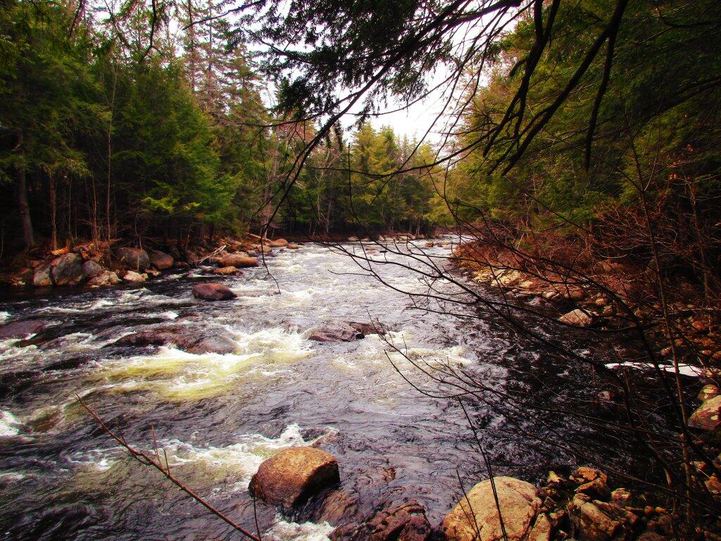
Almost To The Flats
Hiking up river along snowmobile trail, stopped to take in this view of the Sacanadaga River.
Taken on Sunday April 19, 2020 at Auger Falls.Dunkin’ Donuts ditches titanium dioxide – but is it actually harmful?
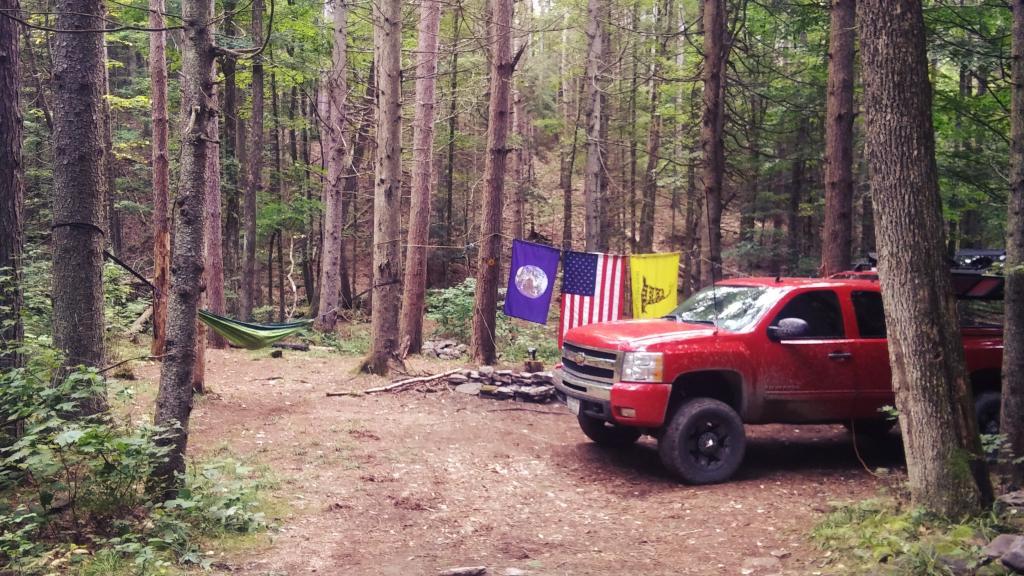
Primitive Campsites and Lean-Tos in Schoharie County 🏕
Exploring the lesser-traveled back roads and backcountry of Schoharie County reveals a host of hidden camping gems, perfect for those seeking a tranquil woods experience. This guide assists in pinpointing these sites, most of which are accessible by vehicle, suitable for tents or smaller camper units. While some roads can be rugged and seasonally accessible, a pre-trip exploration is recommended to ensure a smooth and enjoyable extended stay amidst the natural surroundings.
|
Facility |
Name |
Asset |
Lat |
Lng |
Street |
City |
|
Burnt-Rossman Hills State Forest |
Betty Brook Campsite |
Roadside Campsite |
42.5282069949748 |
-74.5141411051093 |
267 Miller Rd |
Summit |
|
Burnt-Rossman Hills State Forest |
Cole Hollow Stream Campsite |
Tent Campsite |
42.5173809830791 |
-74.4783362503377 |
739 Cole Hollow Rd |
West Fulton |
|
Burnt-Rossman Hills State Forest |
Duck Pond Campsite |
Roadside Campsite |
42.5101650935711 |
-74.483569788123 |
116 Duck Pond Rd |
West Fulton |
|
Burnt-Rossman Hills State Forest |
Eminence Lean-To |
Lean-To |
42.5433037239374 |
-74.488594594497 |
1478 Burnt Hill Rd |
West Fulton |
|
Burnt-Rossman Hills State Forest |
Panther Creek Campsite |
Tent Campsite |
42.5707997358218 |
-74.5222079737636 |
822 Sawyer Hollow Rd |
Richmondville |
|
Burnt-Rossman Hills State Forest |
Westkill Camp Site |
Tent Campsite |
42.4891982222204 |
-74.5093675822639 |
1223 Westkill Rd |
Jefferson |
|
Clapper Hollow State Forest |
Clapper Hollow Lean-To |
Lean-To |
42.5282012275126 |
-74.6420043552481 |
460 Meade Rd |
Jefferson |
|
Dutch Settlement State Forest |
Lean-To |
Lean-To |
42.6294376035285 |
-74.2675434310789 |
334 Treadlemire Rd |
Berne |
|
Huntersfield State Forest |
Lean-To |
Lean-To |
42.3550413795618 |
-74.3460668476724 |
371 Huntersfield Rd |
Prattsville |
|
Keyserkill State Forest |
Keyserkill Campsite |
Tent Campsite |
42.4892248356724 |
-74.3594496582389 |
578 Keyserkill Rd |
Middleburgh |
|
Keyserkill State Forest |
Pond Campsite |
Tent Campsite |
42.5026457018464 |
-74.3614634029007 |
198 Coons Den Rd |
Middleburgh |
|
Lutheranville State Forest |
Sisson Rd Campsite |
Roadside Campsite |
42.6110826168082 |
-74.6399766310532 |
833 County Route 353 |
Middleburgh |
|
Mallet Pond State Forest |
Mallet Pond Campsite (Undesignated) |
Tent Campsite |
42.5878422010516 |
-74.5223274563456 |
634 Rossman Fly Rd |
Richmondville |
|
Mallet Pond State Forest |
Rossman Pond Campsite (Undesignated) |
Roadside Campsite |
42.5941596281094 |
-74.5290358970195 |
634 Rossman Fly Rd |
Richmondville |
|
Rensselaerville State Forest |
Campsite 2 |
Roadside Campsite |
42.4994499144647 |
-74.1948355550861 |
856 Cheese Hill Rd |
Preston Hollow |
|
Rensselaerville State Forest |
Campsite 4 |
Roadside Campsite |
42.501426797599 |
-74.2175233050623 |
833 County Route 353 |
Middleburgh |
Why corporations are reaping record profits with inflation on the rise | PBS NewsHour
Here are the primitive campsites dataset broken into KML files 🏕 that are less then 1,000 points per file that are more friendly with Google Earth and similar services:
Here are the primitive campsites dataset broken into KML files 🏕 that are less then 1,000 points per file that are more friendly with Google Earth and similar services:
Catskills, Central NY, Western NY – generally campsites South of the Mohawk River / Erie / Barge Canal, extended east by an imaginary line to the Vermont – Massachusetts border.
Southern Adirondacks and Tug Hill – generally campsites North of the Mohawk River / Erie / Barge Canal but South of NY 177 (Tug Hill) to NY 26 to Moose River Road to NY 28 to NY 28N to Blue Ridge Road to Johnson Pond Road to NY 74 to Ticonderoga. Includes Tug Hill, Black River WF, Moose River Plains, Wilcox Lake WF, Hammond Pond WF, Vanderwhacker, Cheney Pond, and Pharaoh Lake WF.
North Adirondacks and Tug Hill – generally campsites North of NY 177 (Tug Hill) to NY 26 to Moose River Road to NY 28 to NY 28N to Blue Ridge Road to Johnson Pond Road to NY 74 to Ticonderoga. Includes White Hill SF, Grass River, Pigeon Lake, Ha-De-Ron-Dah, Sargent Ponds, Blue Lake, High Peaks, Five Ponds, Watsons Triangle, St. Regis Canoe, McKenzie, Debar Mnt, Taylor Pond, Valcour Island, Deer River, Brasher Falls, Hammond Pond WF (North of NY 78)
Lean-Tos – DEC lean-tos are in a separate file.
See the full Interactive Map of NY Campsites.
I was listening to NPR Fresh Air about the state of abortion in America today
I was listening to NPR Fresh Air about the state of abortion in America today … 💊
I was very surprised to learn about how with the abortion pill that many people can get safely get an abortion just by taking a pill sent through the mail and that many states are allowing such pills to be proscribed via Telehealth, often by a low fee of $150 or even less. I think it’s a wonderful development, as it saves time, hassle and protects privacy, especially compared the old ways of doing things involving abortion clinics — an empowers women to boot.
I’m no fan of promotion of casual sexual activities or recreational sex, but I do think protecting a women’s right to make her own healthcare choices is important. Accidents occur even with protected sex and contraception, and sometimes not realized right away. We’ve had for decades birth control pills, as the country music singer Loretta Lynn made famous in late 1960s. Having medicine that can undo a mistake, with minimal harm to woman is such a liberating thing, that should be widely available even without a prescription at neighborhood pharmacies and grocery stores. We shouldn’t be afraid of progress.

