
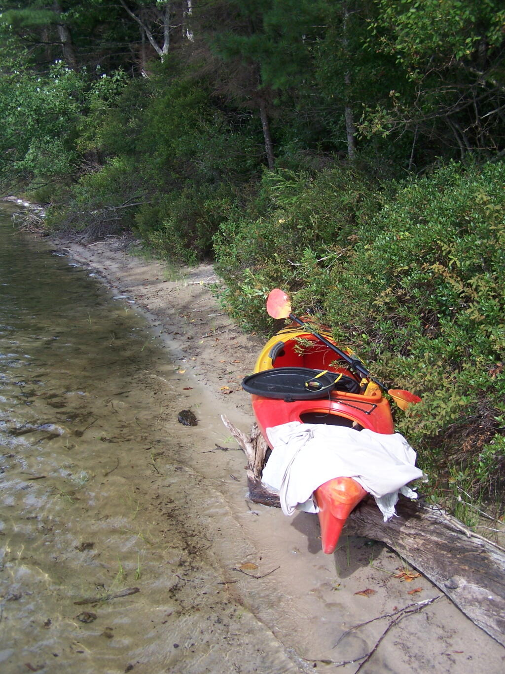
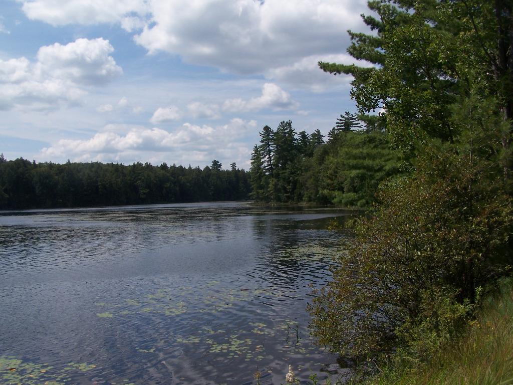
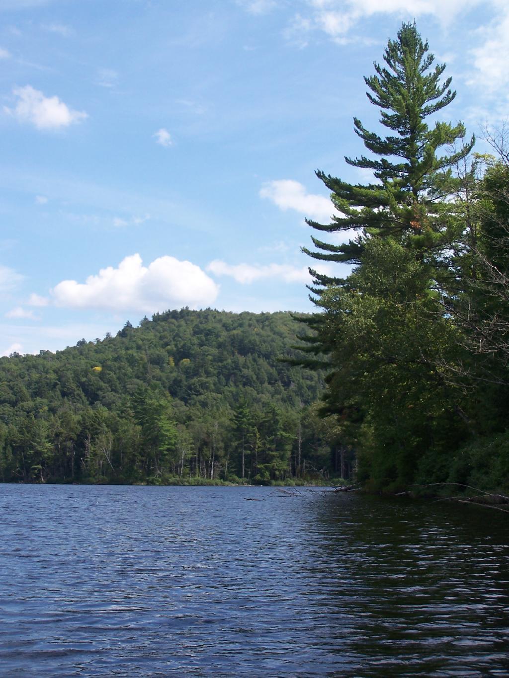
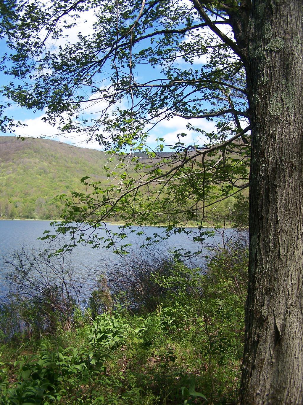
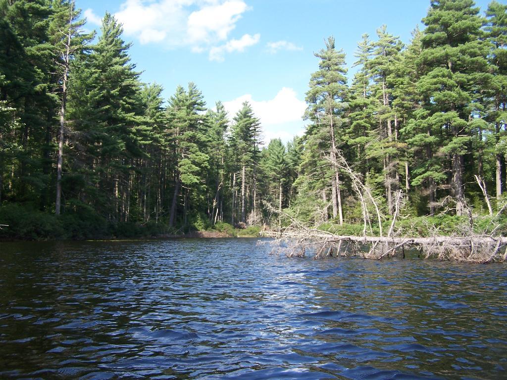
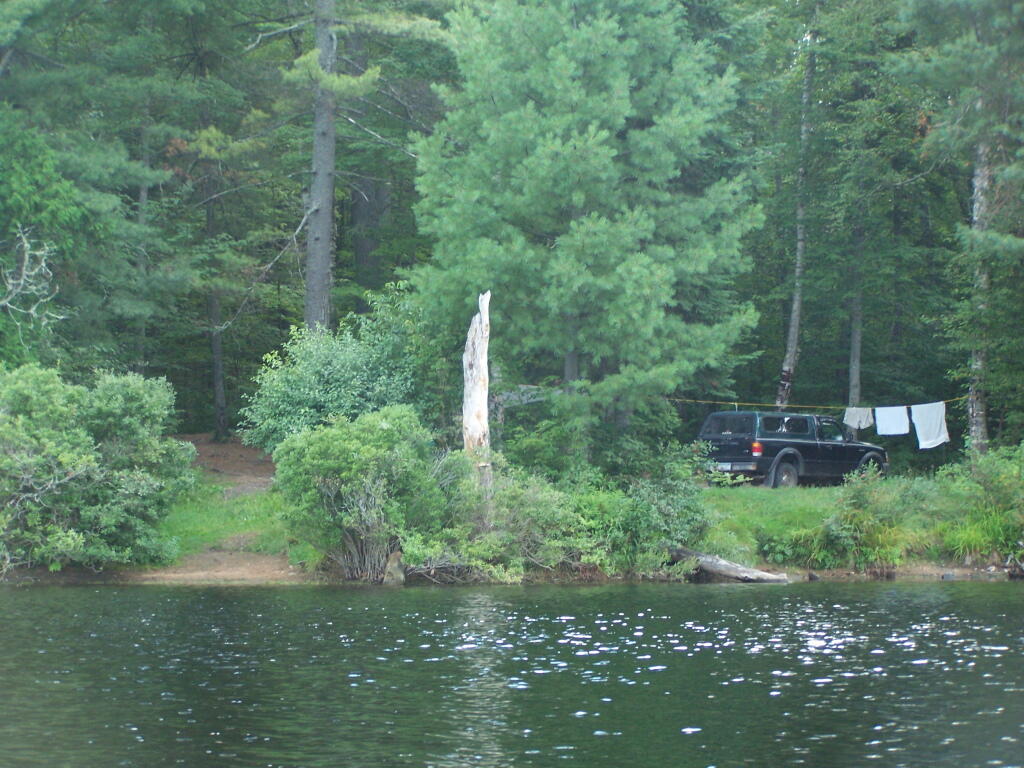
Perfect Area for Swimming
The downed tree blocked the waves, it was sandy beach. I really liked this area a lot.
Taken on Saturday August 14, 2010 at Follensby Clear and Polliwog Ponds.
The downed tree blocked the waves, it was sandy beach. I really liked this area a lot.
Taken on Saturday August 14, 2010 at Follensby Clear and Polliwog Ponds.
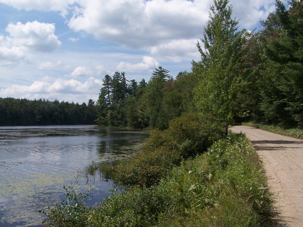
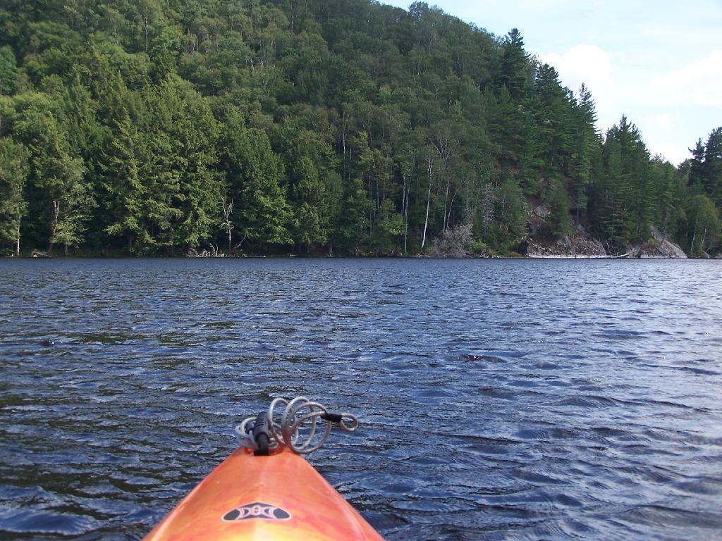
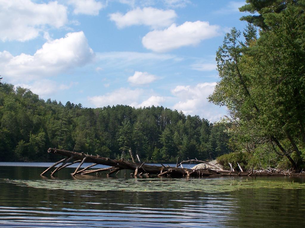
Once I started to get ready, I put on my swimming trunks, paddled across the lake, around an peninsula, to a very private bay. I took a "bath" using the teapot, soap, and shampoo on the bank, washed the soap off, then went swimming in my own little private beach. Nobody else was around! It was wonderful.
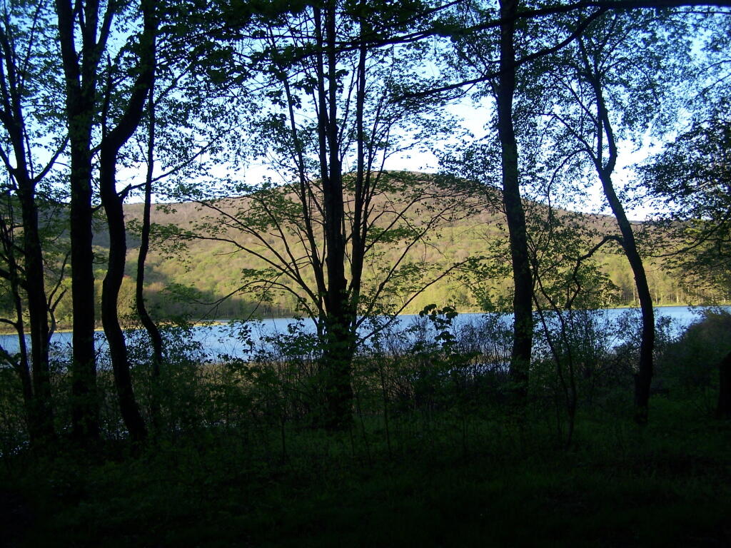
Taken on Saturday August 14, 2010 at Follensby Clear and Polliwog Ponds.Fish Creek Ponds is a series of largely connected ponds in Northern Adirondacks, North of Tupper Lake. On Floodwood Road, there are series of 15 free drive in campsites one can camp at, with about half of them located on various lakes along Floodwood Road. On Friday night, August 13, I camped out at Poliwog Pond, and then paddled around it a bit in the evening, and then again in the morning. I also drove out around Floodwood Road, to look at the ponds and other campsites along it.
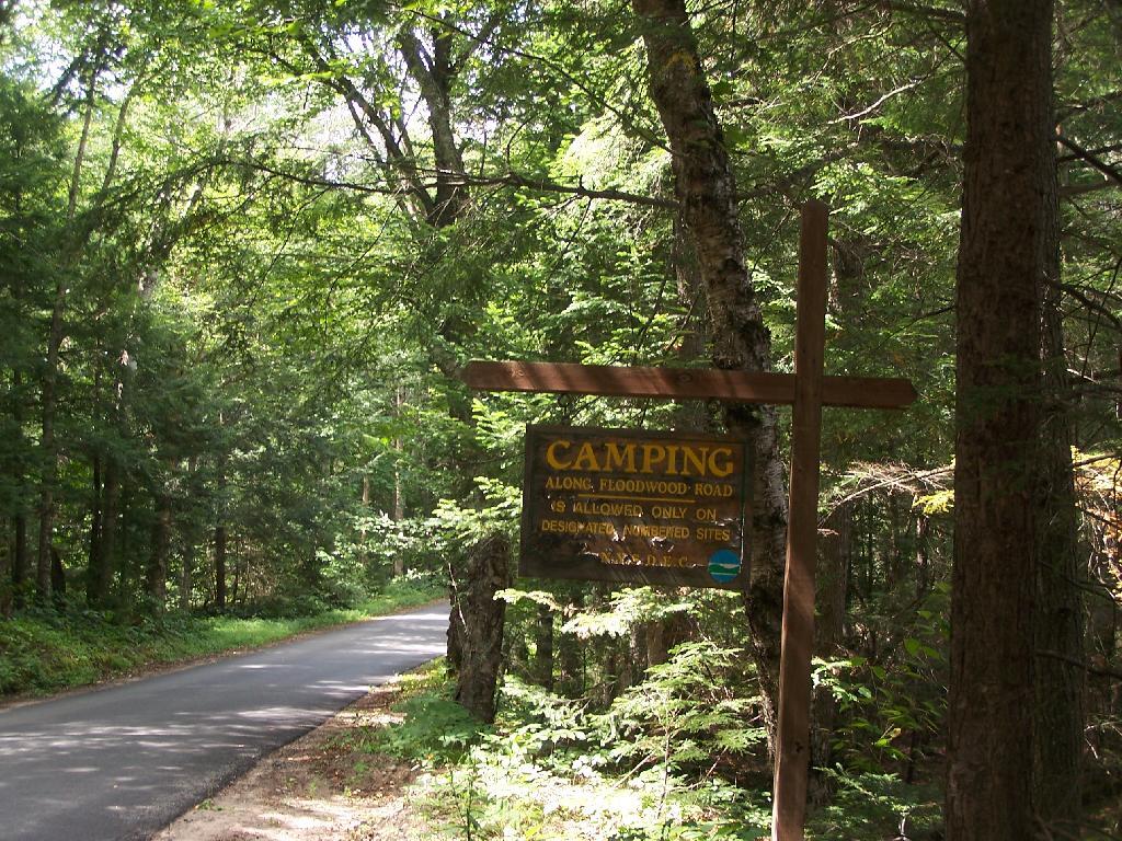
Camping Only At Designated Sites. This sign is found along the beginning of Floodwood Road, prior to the blacktop running out. There are 15 sites, that appear not to be fully used, on this lake.
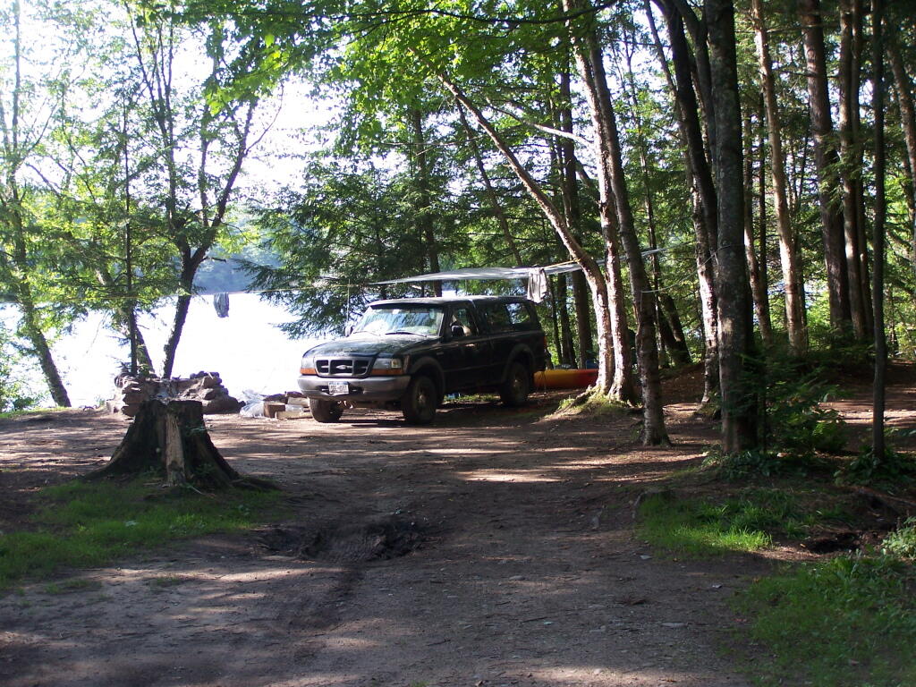
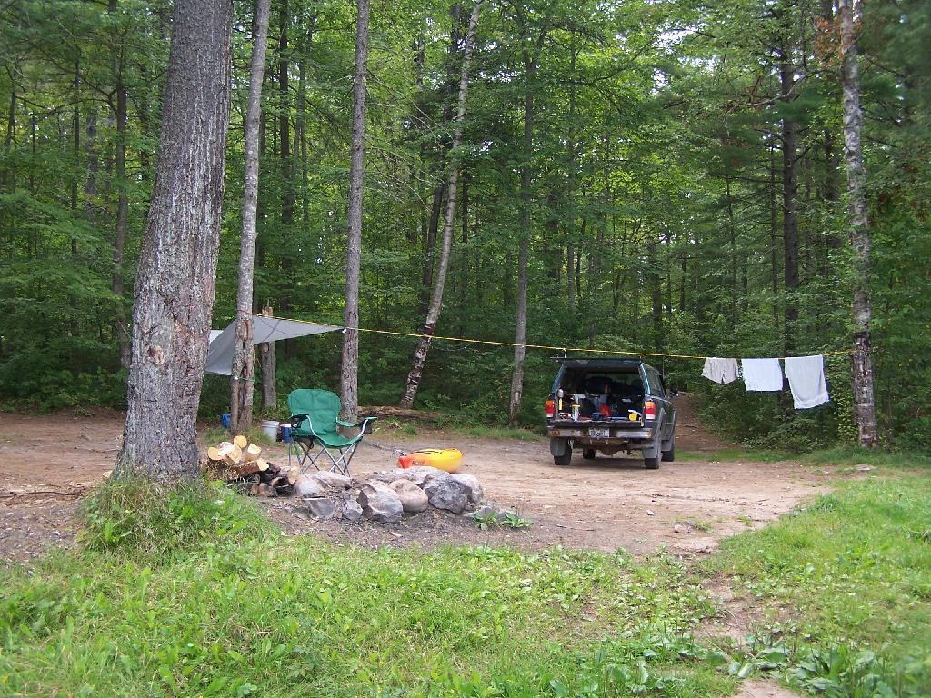
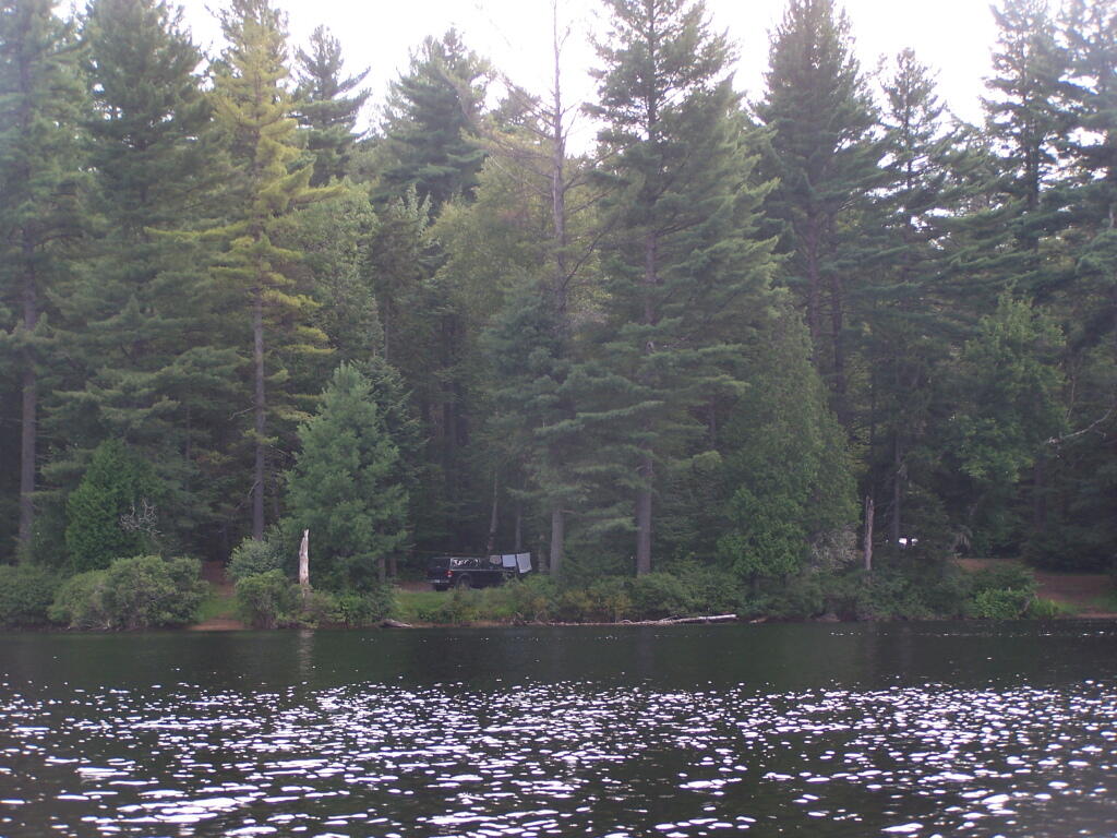
Campsite on Polliwog Pond that I stayed at on August 13th. This site would be truly the most perfect in the world, except for being so close to another one and the fact that the beach area next to the site was kind of swampy and not nice.
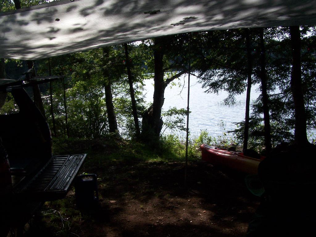
Under the Tarp. While when I was up at Poliwog Pond I didn’t really need the tarp, I set up a tarp. It was a beautiful day out for sure down here, right on the pond. The tarp was easy to set up, with the plentiful trees to make it easy to tie up.
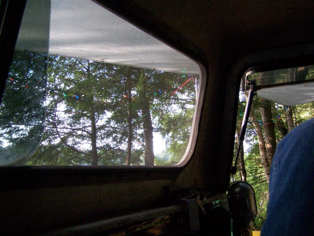
Laying Back in Truck Cap. Ah, mornings. Lazy times. But then again, I got to paddle around the lake, get some pictures, pack up and head north. So be it.
Private Bay for Swimming. Once I started to get ready, I put on my swimming trunks, paddled across the lake, around an peninsula, to a very private bay. I took a “bath” using the teapot, soap, and shampoo on the bank, washed the soap off, then went swimming in my own little private beach. Nobody else was around! It was wonderful.
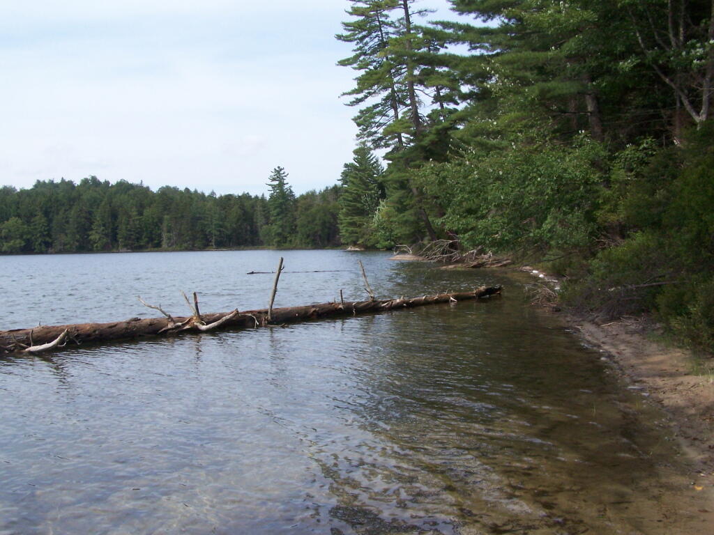
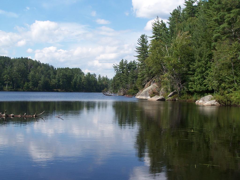
Perfect Area for Swimming. The downed tree blocked the waves, it was sandy beach. I really liked this area a lot.
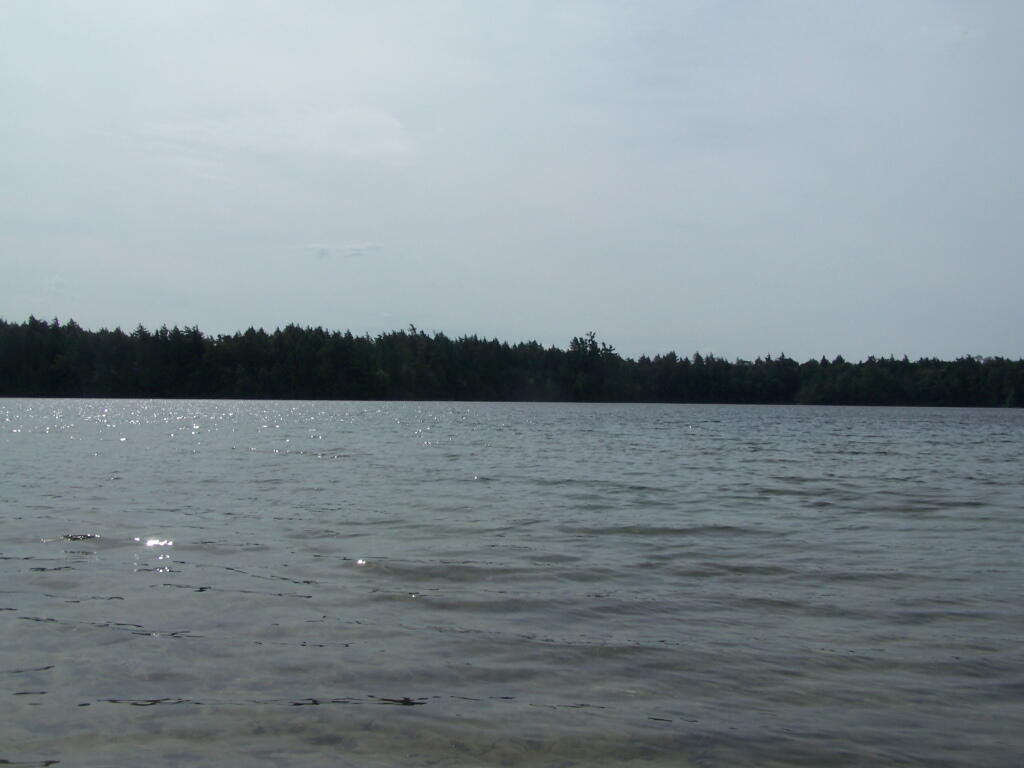
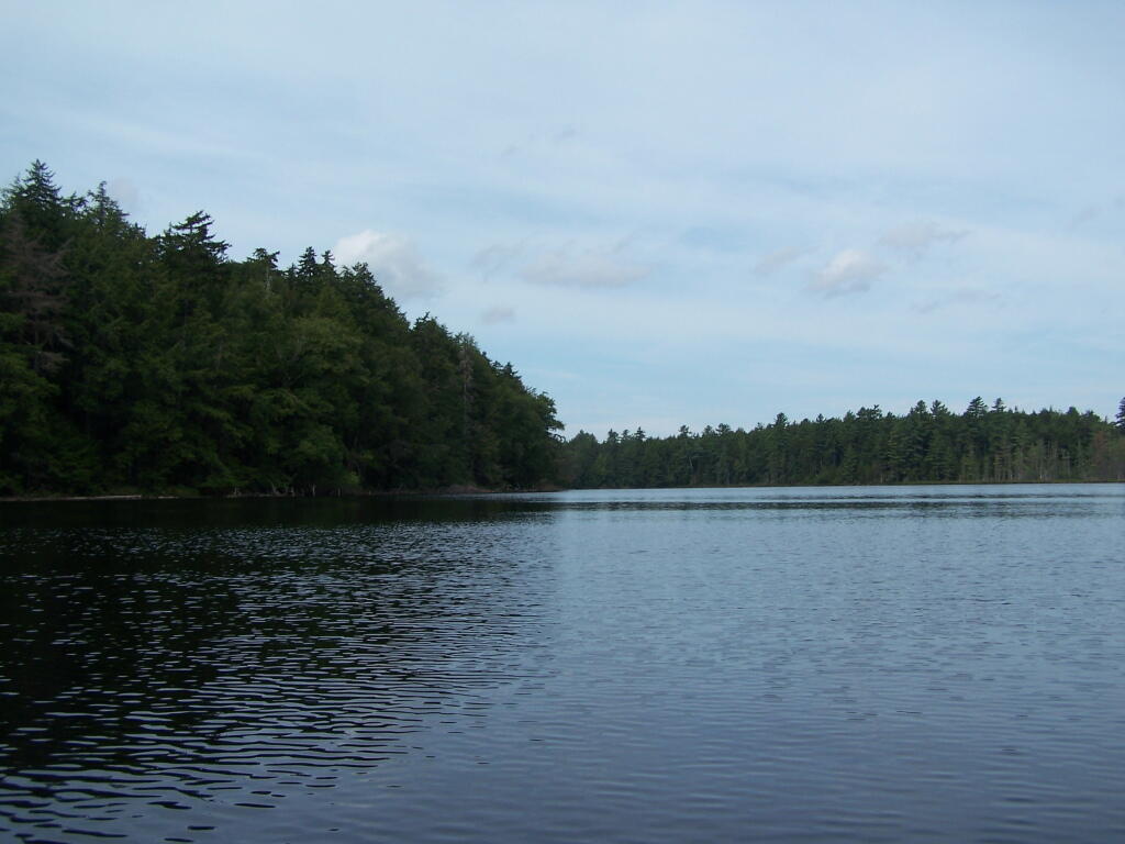
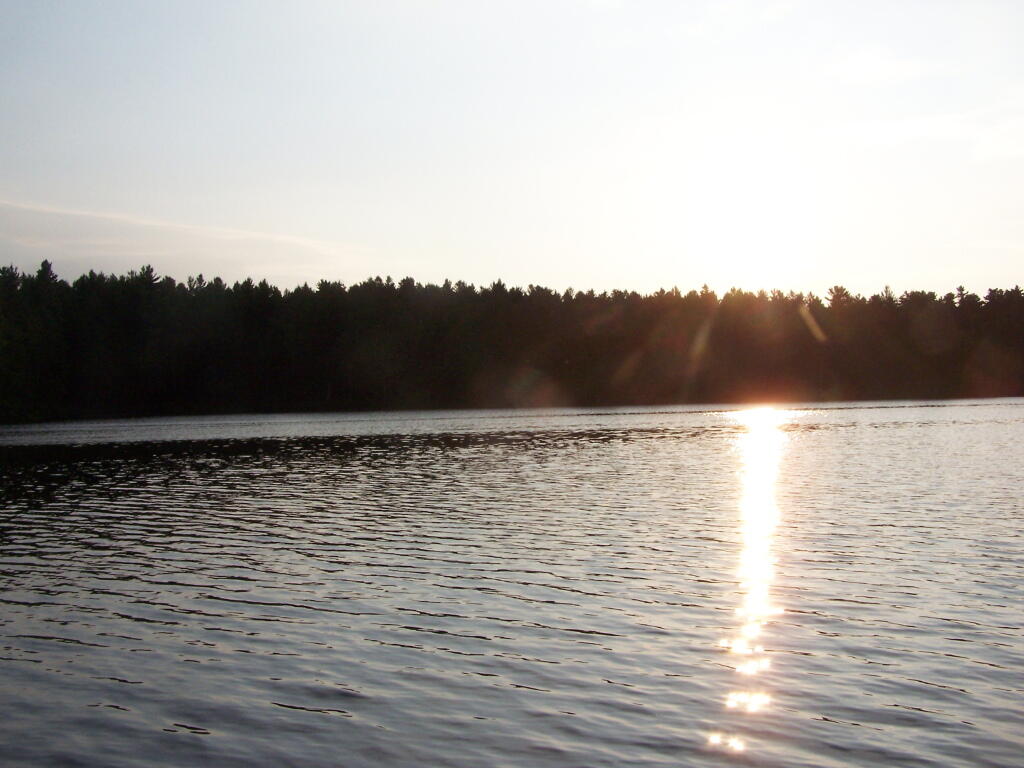
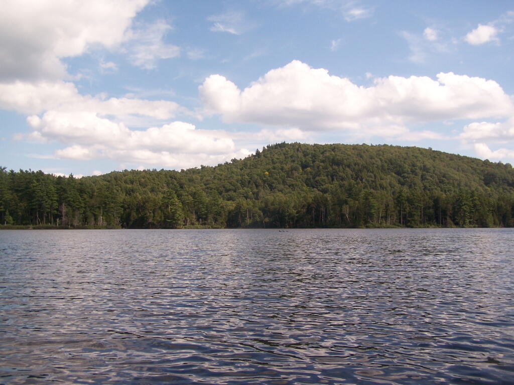
Across Poliwog Pond. It’s a remarkably hazy summer day. This is from the south bay of the pond, where I was swimming and getting cleaned up in the morning.
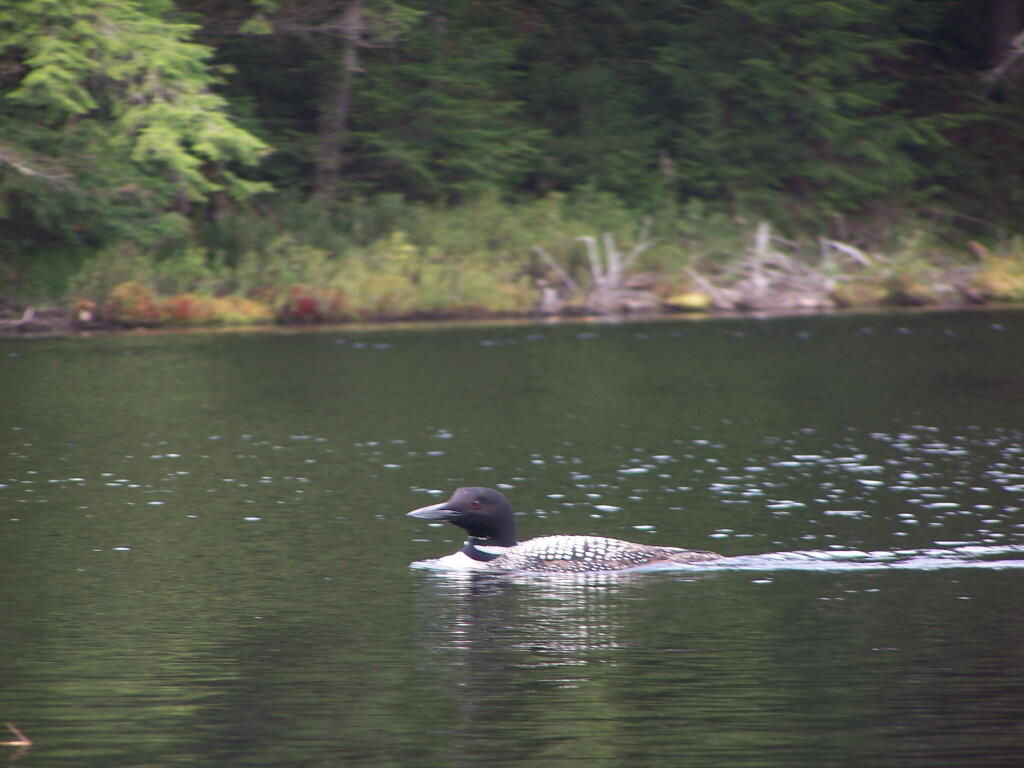
Loon. Throughout the night at Poliwog Pond, there was loon calling back and forth. This is located on the western bay of Poliwog Pond.
Western Bay of Poliwog Pond. There was somebody camping up on the banks, but other then that it was relatively quiet.
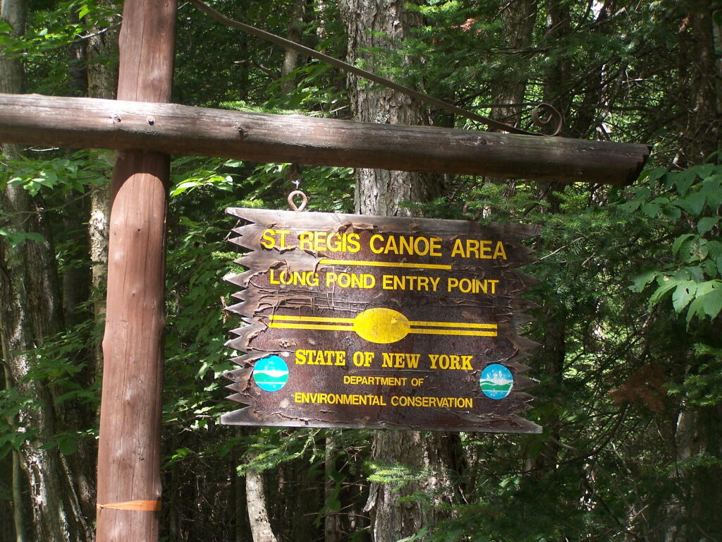
Long Pond Entrance. While I didn’t get a chance to haul my kayak into Long Pond, and do some paddling around there, this is the access point fo the Saint Regis Canoe area. It looked very popular.
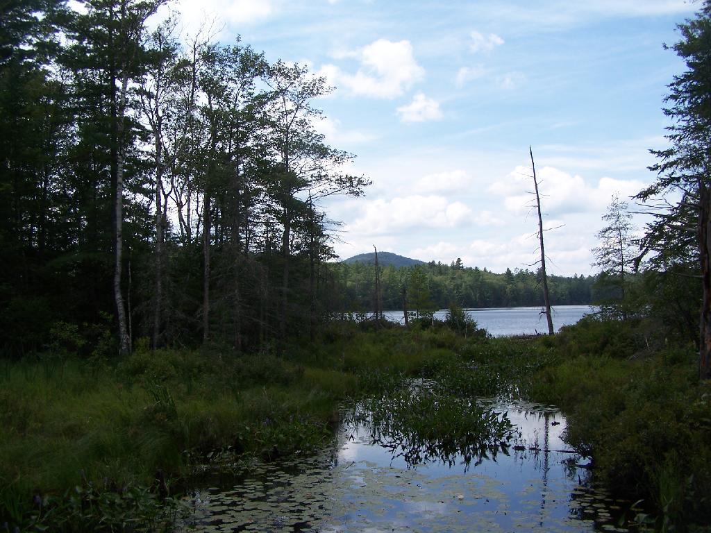
Swamp Across from East Pond. This was located directly across East Pond on Floodwood Road.
East Pond. On Floodwood Road. Looked quite pretty. There is one drive-in campsite in here, along with an accessible boat dock.
Middle Pond. On Floodwood Pond road. There also is a large drive-in campsite on Middle Pond.
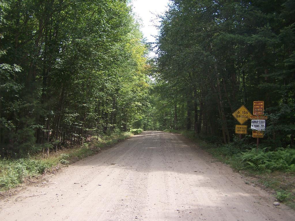
Floodwood Road. There are 15 drive in campsites on this very dusty dirt road, that is heavily traveled, mostly by people heading to the Boy Scout Camp and the Saint Regis Canoe Area. This along Middle Pond.
Floodwood Road at Franklin County. This is where you cross from being in very remote Town of Altamont to Santa Clara. Pretty area for sure.
Here is a map of Floodwood Road, Polliwog Pond, and surrounding ponds.
Mountain Pond is located about 2 miles North of Paul Smiths College on an old routing of NY 30. It is in Debar Mountain Wild Forest, with 2 large campsites on the pond, 3 smaller ones on or near the pond, and 10 other along Mountain Pond Road. It’s little used due to it’s remote location, and easy to even get one of the large sites on the lake on the weekends.
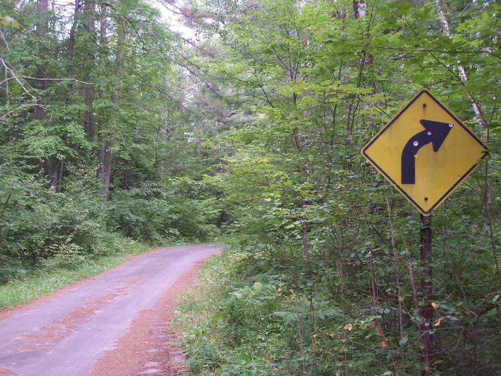
Old NY 30 Signs. Along Mountain Pond Road/Old NY 30, you can see the road signs dating back to the 1960s or maybe even earlier, prior to modern alignment of NY 30.
Campsite 4. Here is the view of Campsite 4 from Old NY 30/Mountain View Road and down by the lake. A nice campsite, big, roomy, and private, although the much smaller Campsites 5 is fairly close.
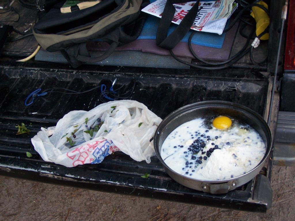
Making Up Blueberry Cake Mix. Here I’m the Blueberry Cake Mix, and getting ready to add the Blueberries I picked up at Moose River Plains. Should be real good.
Baking in Dutch Oven. That sure smells good, doesn’t it. I put the pan that the mix was in dutch oven up on rocks, so it didn’t burn the bottom of the cake, and made sure to add adequate coals to the top to keep things cooking evenly.

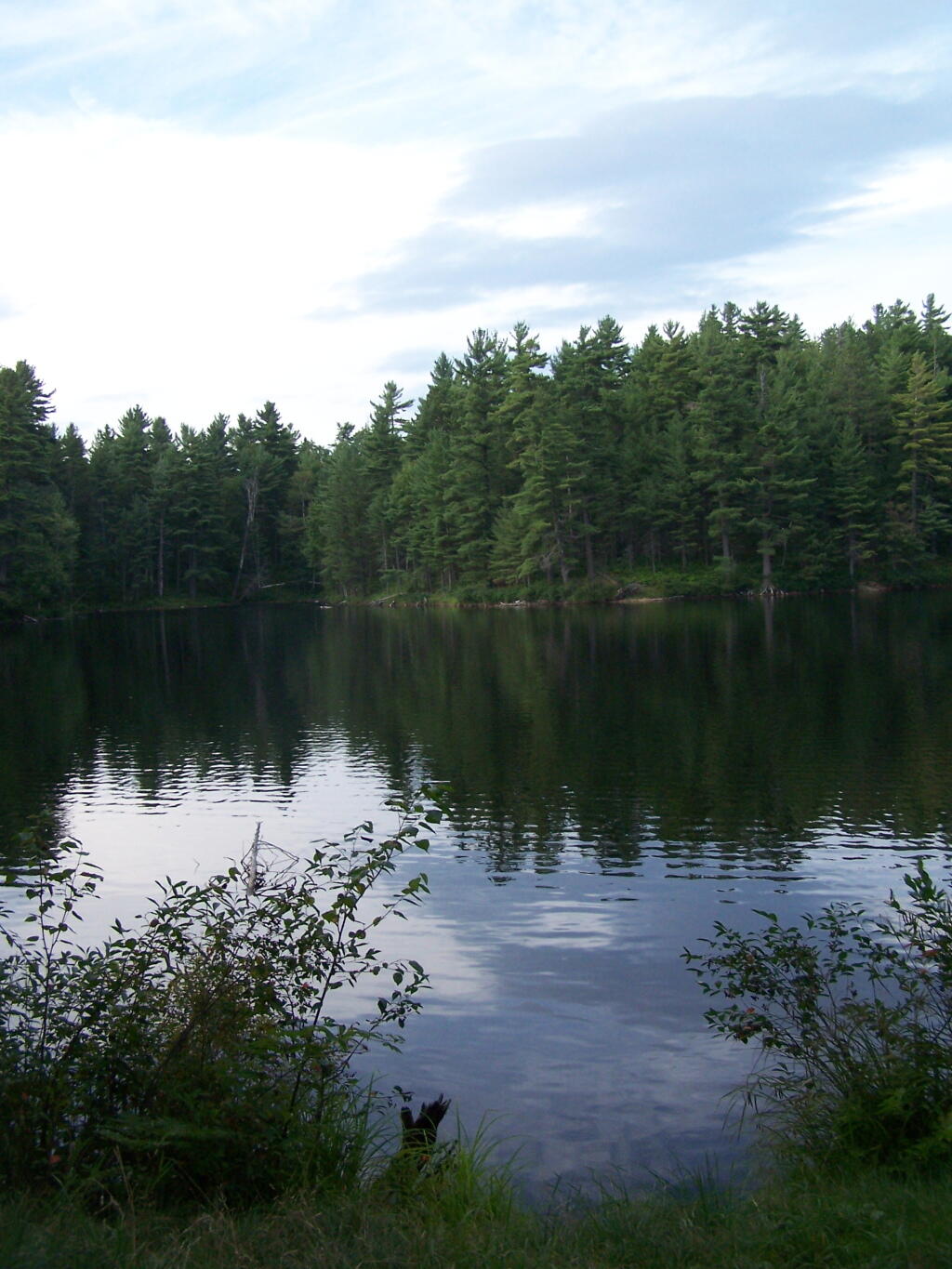
Mountain Pond in the Evening.
First Rays of Sunshine. I purposefully picked this campsite, and parked my truck so that the first rays of the sun, would come through the truck cap, and wake me up around the crack of down (around 6:35 AM this time of year).
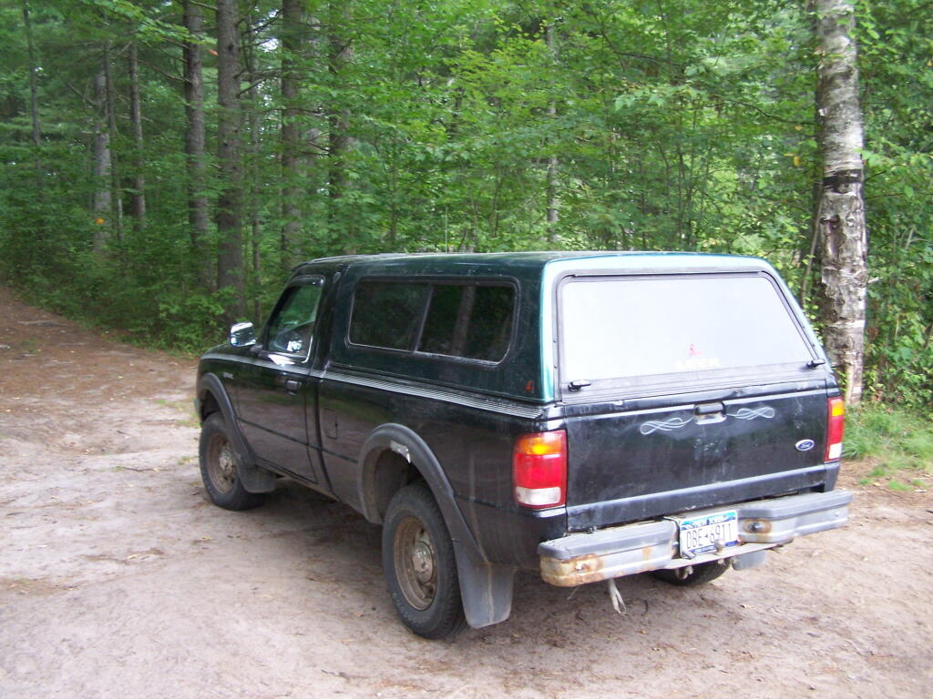
Getting Out and Stretch. That’s my rig with all the messy camping gear and sleeping stuff around, as I first awake in the morning.

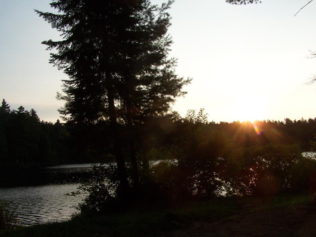
Sunshine. Sparkling on the pond, first thing in the morning. Real purty.
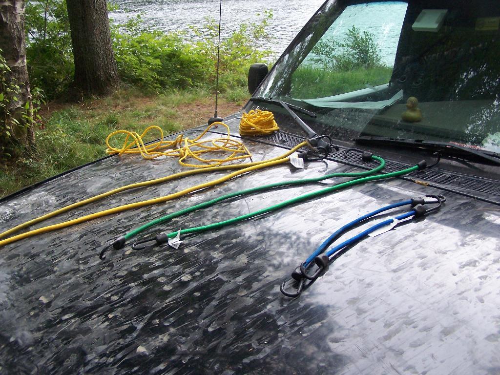
Ropes. These are the ropes and bungee cords I use to secure the kayak on the roof. Seems to work well on the kayak blocks.
Gear All Packed Up. Now just to get the kayak up on the roof.
Here is a map of the camping area.
Mountain Pond is located about 2 miles North of Paul Smiths College on an old routing of NY 30. It is a mile long, has catch and release fishing, and good place for some solitude and flat water paddling. It is in Debar Mountain Wild Forest, with 2 large campsites on the pond, 3 smaller ones on or near the pond, and 10 other along Mountain Pond Road. It’s little used due to it’s remote location, and easy to even get one of the large sites on the lake on the weekends.
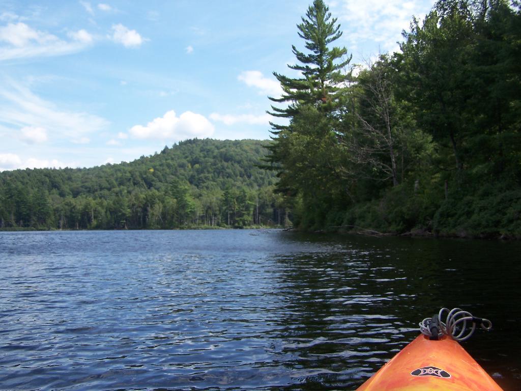
Paddling. Just paddling along Mountain Pond in the kayak.
Tall Pine. Lining the edge of Mountain Pond, as I ride around in the kayak.
Towards Jenkins Mountain. The last hill that makes up Jenkins Mountain is where Mountain Pond gets it’s name from.
From Southern End of Mountain Pond. This is looking from Campsite 1 at the Southern End of Mountain Pond, looking North. Old NY 30 winds right along the shore of NY 30, the New Routing is about a 1/2 mile away for NY 30.
Campsite No 1. This is campsite No 1 at Mountain Pond. It was never used on the Saturday Night I was there, but it looks nice, if not a bit small.
View from Campsite 1. Here my kayak is parked at Campsite 1, where I got out for a stretch. Looking south at this rather spectacular looking lake on a great day. The lake winds back and forth, for about a mile.
Along Edge of Pond. This is looking at the eastern, more mountainess shore of Mountain Pond.
Central Part of Lake. On the left is the western shore, by where NY 30 runs. It is a beautiful, if not humongous lake with lots of shoreline and bys.
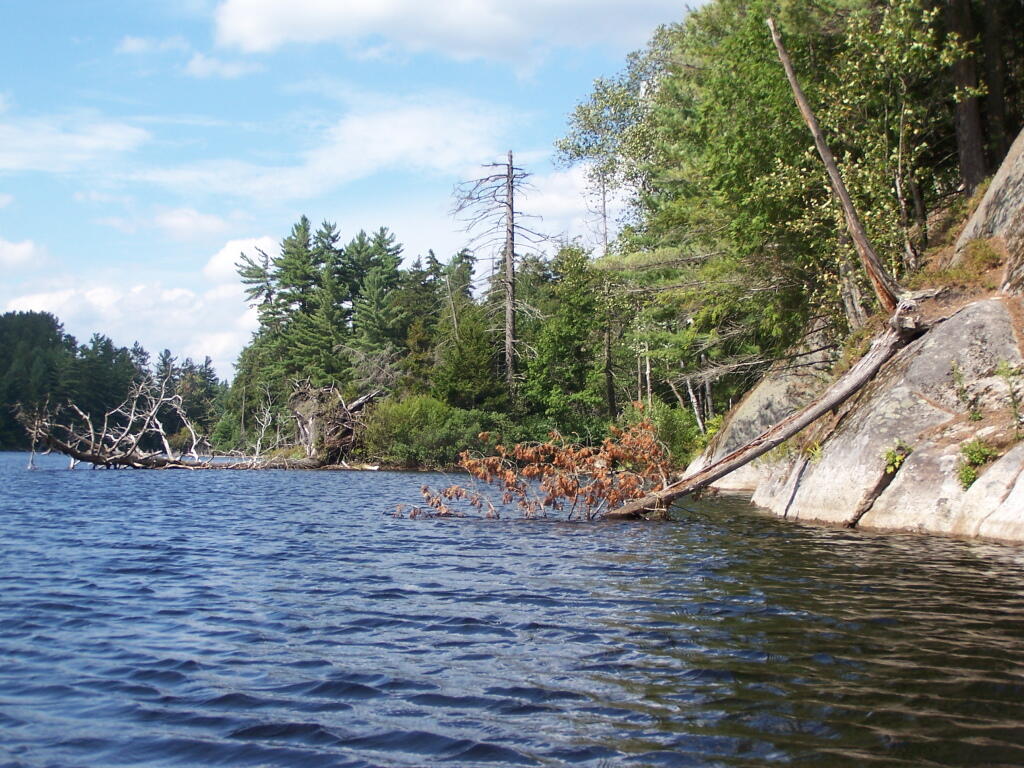
Many Downed Trees. There where many downed trees that had fallen into the lake, from the often steep eastern edge of mountain pond. Campsites are on the other side of the lake, and they all where in good shape.
Northeastern Bay. Here is an Northeastern Bay at Mountain Pond. Not as pretty as farther south with the steep rock ledges against the lake, but still a classic Adirondack Lake.
Loons. While this picture is somewhat in shadow, there where loons on Mountain Pond. They were not all that noisy, compared to Polliwog Pond or especially Mason Pond, where they howled quite bit more in the evening.
Mountain. This is the Mountain at Mountain Pond. It’s not much more then a hill, because Jenkins Mountain has largely petered out before reaching here, but it’s still a lot higher then surrounding elevation.
Campsites No 4 and No 5. As I had previously noted, Campsites 4 and 5 where pretty close to one an another. Nobody ended up staying at No 5, although somebody parked there for a while to go paddling.
Treeline. This is the tree line towards the top of Mountain Pond, on this rather beautiful day for sure.
Campsite No 4. This was taken from the lake. It was great to be right on the lake, at this very remote Adirondack Pond.
Here is a map of the pond.
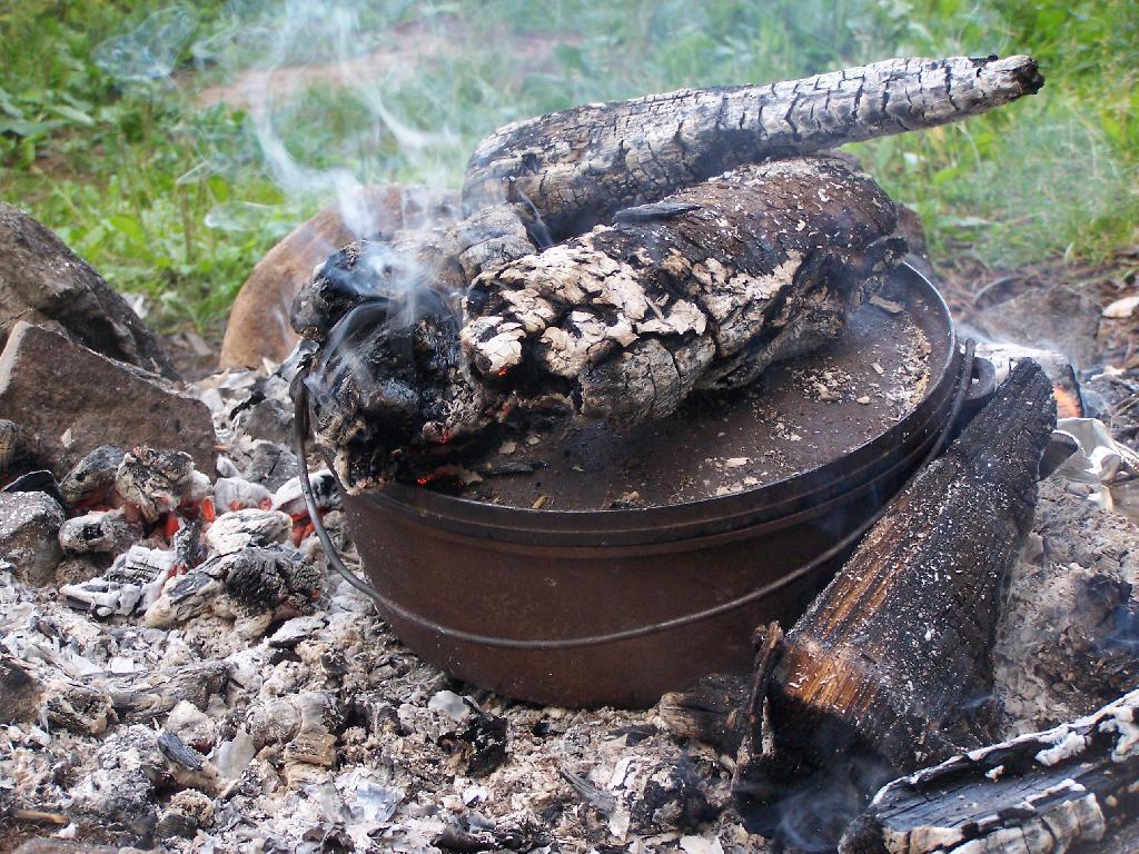
That sure smells good, doesn't it. I put the pan that the mix was in dutch oven up on rocks, so it didn't burn the bottom of the cake, and made sure to add adequate coals to the top to keep things cooking evenly.
Taken on Saturday August 14, 2010 at Mountain Pond.
Here I'm the Blueberry Cake Mix, and getting ready to add the Blueberries I picked up at Moose River Plains. Should be real good.
Taken on Saturday August 14, 2010 at Mountain Pond.