Search Results for: map plateau mountain 2

Allegheny Front

Allegheny Front

The Allegheny Front stands as the prominent escarpment facing southeast or east within the Allegheny Mountains, spanning southern Pennsylvania, western Maryland, and eastern West Virginia in the USA. Serving as a demarcation, the Allegheny Front acts as the dividing line between the Ridge-and-Valley Appalachians to the east and the Appalachian Plateau (often referred to as the Allegheny Plateau) to the west. This geological feature is intimately linked with the Eastern Continental Divide of the Appalachian Mountains. In this region, the Eastern Continental Divide separates the watersheds of the Ohio/Mississippi river system, which flow towards the Gulf of Mexico, from those of rivers that eventually empty into Chesapeake Bay and further into the Atlantic Ocean.

Nonetheless, it's important to note that the Allegheny Front and the Divide don't always perfectly align. For instance, the North Branch of the Potomac River originates significantly west of the Allegheny Front, near the Fairfax Stone located at the southwestern tip of Maryland. It's merely around 10 miles (16 km) away and situated across the physical divide from the headwaters of the Youghiogheny River, which flows westward into the Monongahela and Ohio rivers.

Devil’s Path

The Devil's Path is a challenging hiking trail located in the Catskill Mountains of New York State, renowned for its rugged terrain and demanding ascents and descents. Spanning approximately 25 miles in length, the Devil's Path traverses six major peaks within the Catskills, including Indian Head, Twin, Sugarloaf, Plateau, West Kill, and Hunter Mountains. This trail is notorious among hikers for its steep and rocky sections, as well as its significant elevation gains and losses. The Devil's Path offers stunning panoramic views of the surrounding wilderness.

The trail is divided into two main sections: the eastern and western halves, with each presenting its own set of challenges and scenic vistas. Hiking the entire Devil's Path is considered a formidable accomplishment and is often completed over the course of two or three days by experienced backpackers and outdoor enthusiasts.

Devil’s Path Hiking Trail

The Devil's Path is a hiking trail in the Greene County section of the Catskill Mountains, sometimes described as one of the more challenging trails. It extends 24.2 miles, gaining 9,000 feet over seven peaks, a low of 2,220 ft at Stoney Clove Notch between Hunter and Plateau Mountains and a high of 3,800 feet on West Kill Mountain.

Giant Ledge, October 2009

Giant Ledge is a relatively flat hill located on the ridge between Slide Mountain and Panther Mountain. It can be accessed from the Giant Ledge Parking Area, off of hairpin turn on Slide Mountain Road.

When Thanksgiving Falls, 2000 to 2099

Giant Ledge Parking Area

I went hiking on Columbus Day, a little past peak foliage system after spending two nights camping out in Schoharie County. It is a short hike.

Short Hike to the Ledge

Here is cute little bridge that goes over an unamed creek, running down the northern face of Slide Mountain.

Bridge

After a moderately steep 3/4 mile hike, you reach the “pass” that goes between Slide Mountain and Panther Mountain. This portion is relatively flat, until you reach the last 150 feet of elevation gain, to reach the top of Giant Ledge.

Plateau

Here is Slide Mountain, peaking through the trees as your going up to the last bit to Giant Ledge.

Slide Mountain

Looking off Giant Ledge, towards Woodlawn Valley (in the colorful foreground), with Plateau Mountain, Twin Mountain, Indian Head Mountain, and in the middle, Tremper Mountain.

 Colors

Here is the Wittenberg and Cornell Mountains.

Wittenberg and Cornell Mountains

This is the Woodlawn Valley’s beautiful colors.

Part of the trail runs right along the edge.

Trail Along the Edge

Off the main blue trail on Giant Ledge, there are two campsites at are primative, but nice. This also leads to a trail with views of the Big Indian Valley

Camp Here

Here is the second of two designated campsites on Giant Ledge. There are no campsites on Panther Mountain, which is too high to allow camping. There also is camping on the lower portion Slide Mountain, minus the wonderful views.

Campsite 2

After you hike across the trail to the campsites, there is another short little trail that runs over to a viewpoint with views of Big Indian Mountain, and the Big Indian Valley (where Slide Mountain Road runs).

Across the Potamac River to West VIrigina [Expires November 12 2023]

From here, I hiked up Panther Mountain. Here is a map of the hike.


View Hikes of 2009 in a larger map

Alander Mountain

Alander Mountain is the highest point in Columbia County. I chose to access the mountain from Mt Washington State Reservation Park Headquarters in Massachussets. You can also visit there from New York State in several other directions, although the elevation increase is substantial.

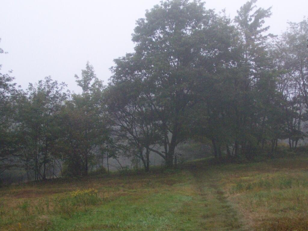
While it was clearing when I left Albany around 7 AM, when I got out to Mt Washington State Forest, it was a misty-rain mix. I left my raincoat home, but fortunately it was more damp then heavy rain.

Rain

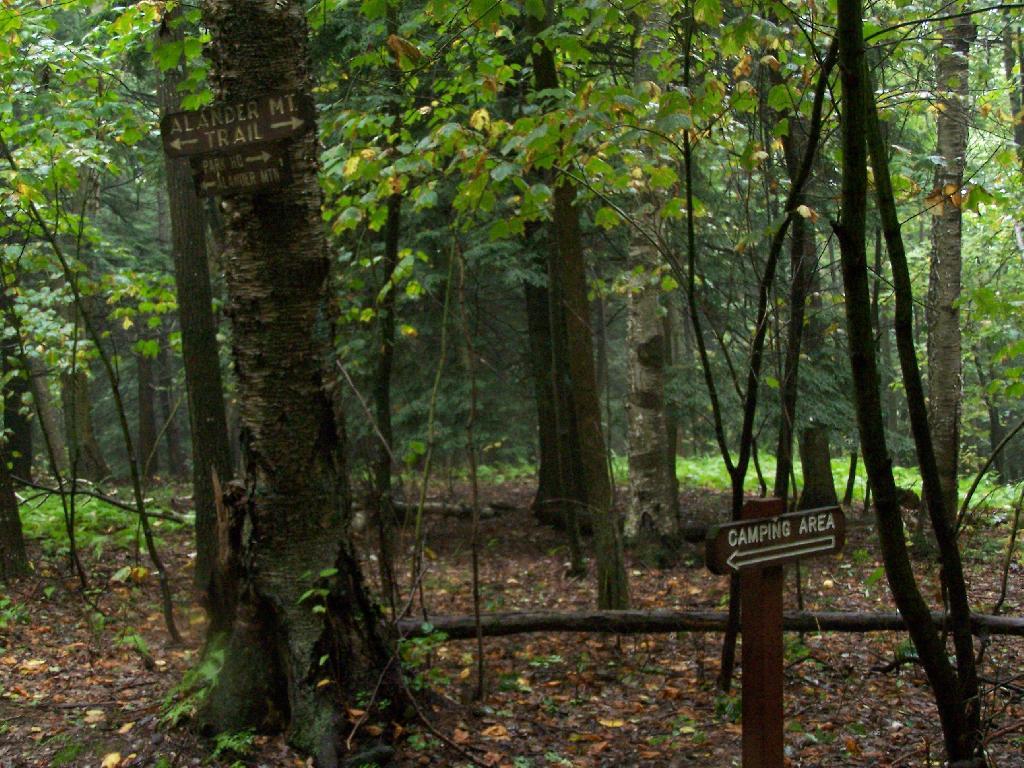
They do not allow casual primitive camping in the Mt Washington State Forest. That said, 1 1/2 miles up the trail there is two or three sites for primitive camping. Nobody was up there on the rainy days.

Sign to Camping Area

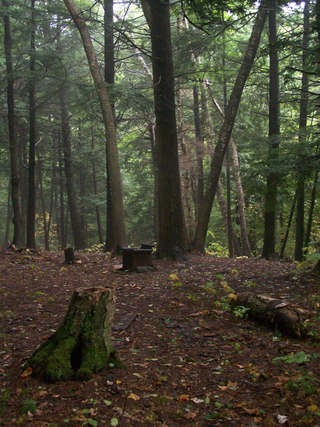
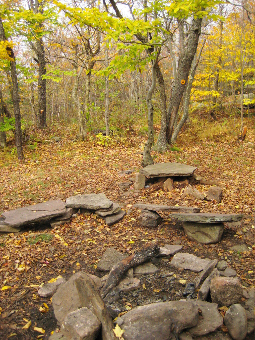
Primative Campsite No 1. Somebody left some cords up along with basic cooking things and water bottle, along with a nicely built up fire pit.

Campsite No. 2

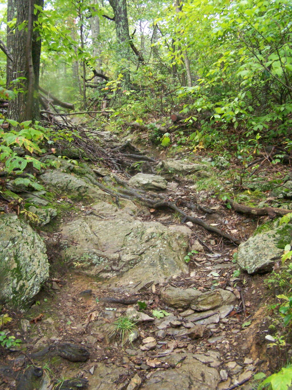
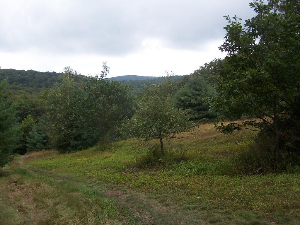
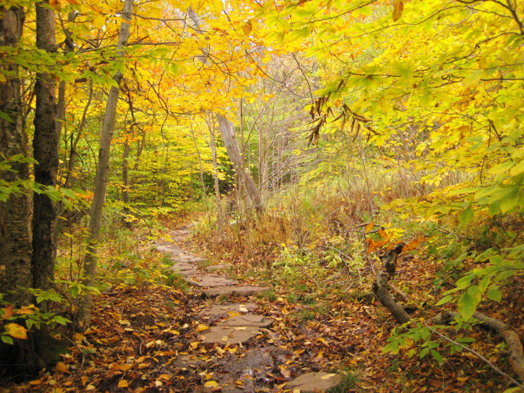
The trail got steeper as I continue up the mountain, and at the same time got clearer and nicer out.

Clearing Out

When you arrive almost to the top of the mountain, there is a beautiful little cabin you can stay in for no charge. It appears to be fairly popular, but with 6 bunks and floor camping space. There was a fair bit of unburnable trash around — particularly liqour bottles, even though technically alcohol is prohibited in the state forest.

Regardless, it looked like a fine place to camp. There is a wood stove in the cabin so you can stay here in the winter. I didn’t look at the wood supply around, but it looks like that shouldn’t be a problem.

Alander Mountain

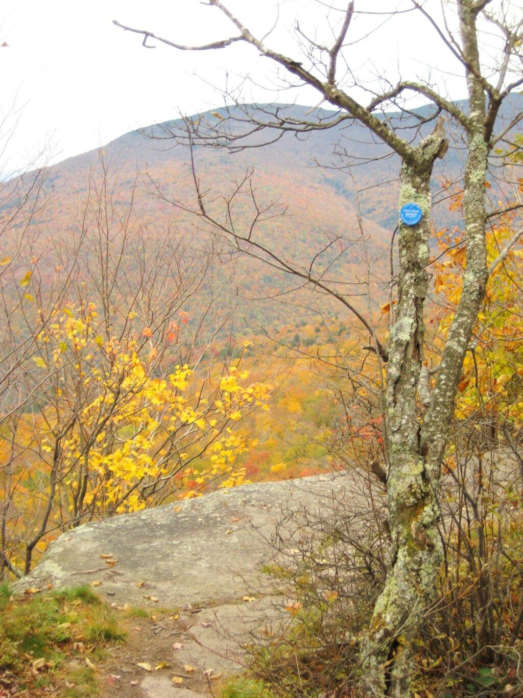
While there was no official camping allowed on the mountain, people where certainly camping up there, and there were places where one could get well off the trail, yet camp in an open area with minimum damage to the land.

Glad I bought firewood, it was nearly dusk when I set up

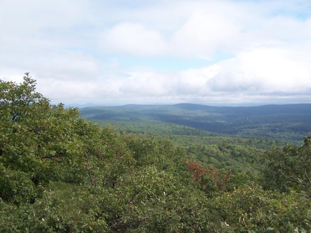
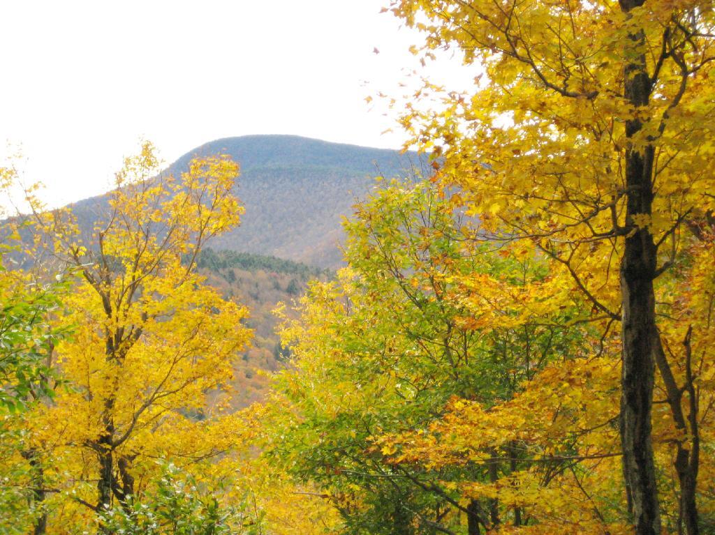
Once atop the mountain, it was still foggy and damp, but it was clearing out.

Watching Fog Burn Off

Mountains Fade Into Fog

As the morning progressed, the sky got progressively clearer.

Clearing Clouds

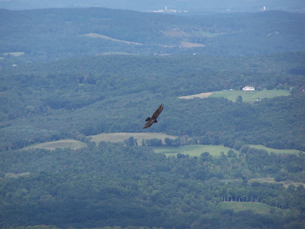
There was a Turkey Vulture flying over the landscape.

Turkey Vulture

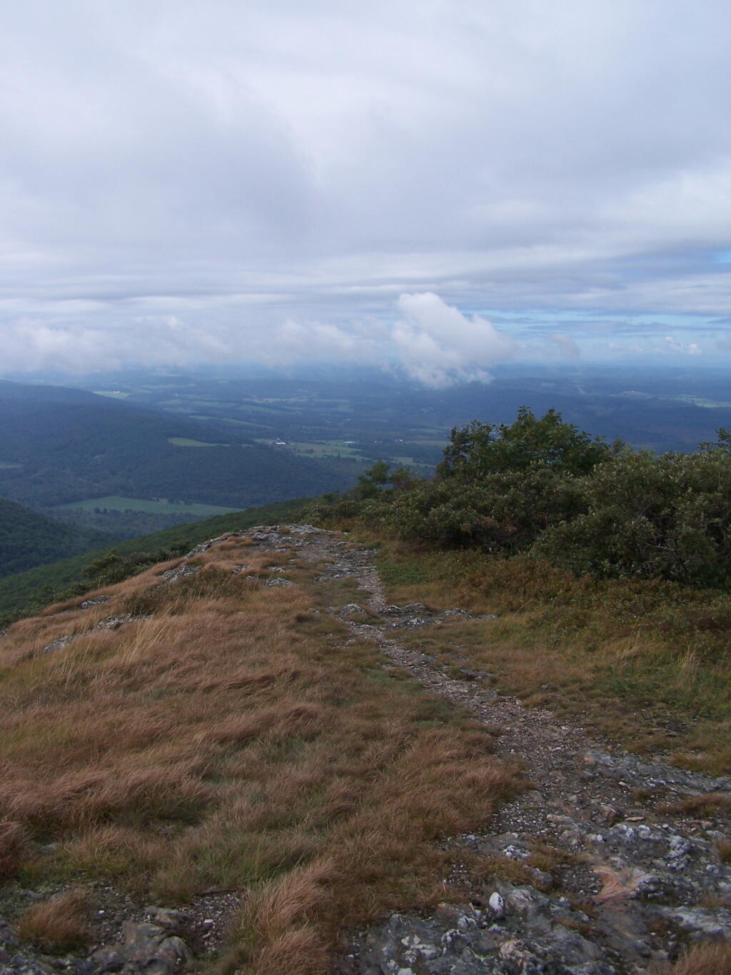
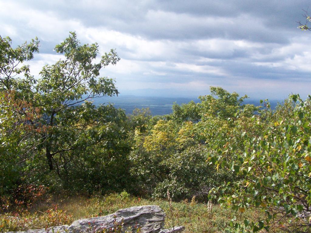
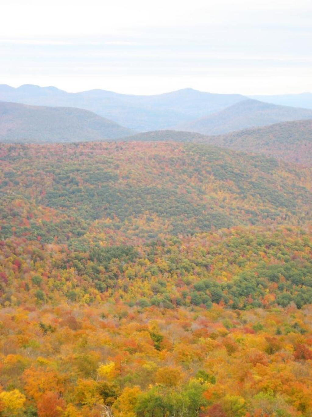
When it cleared out the views where beautiful, but with still quite a bit of haze remaining from the morning. I want to be up here one day in the fall when it is much clearer out. Maybe spend the night at the cabin, and enjoy the sunset and the leaves under the morning light.

Valley

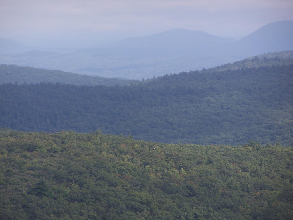
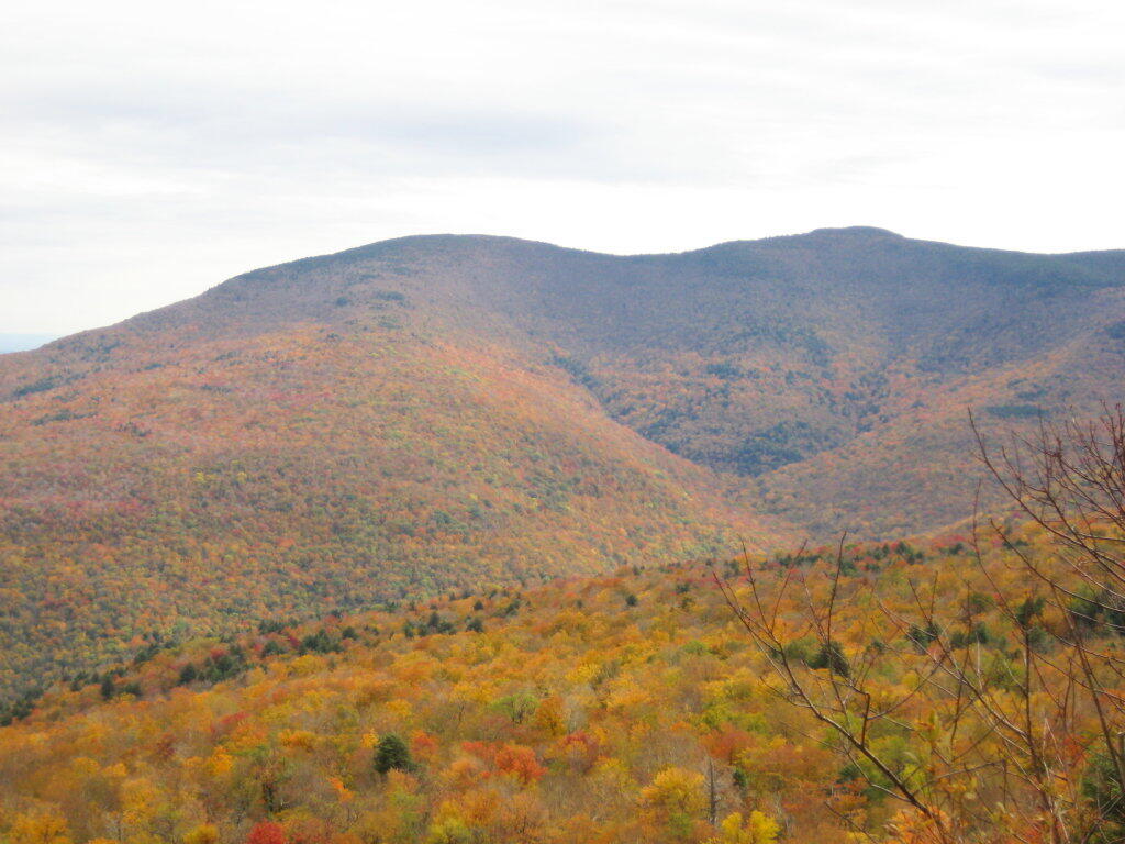
Brace Mountain and Ashley Hill as seen from Alander Mountain.

Brace Mountain

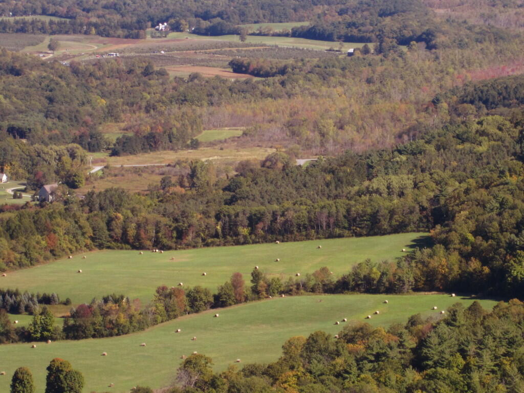
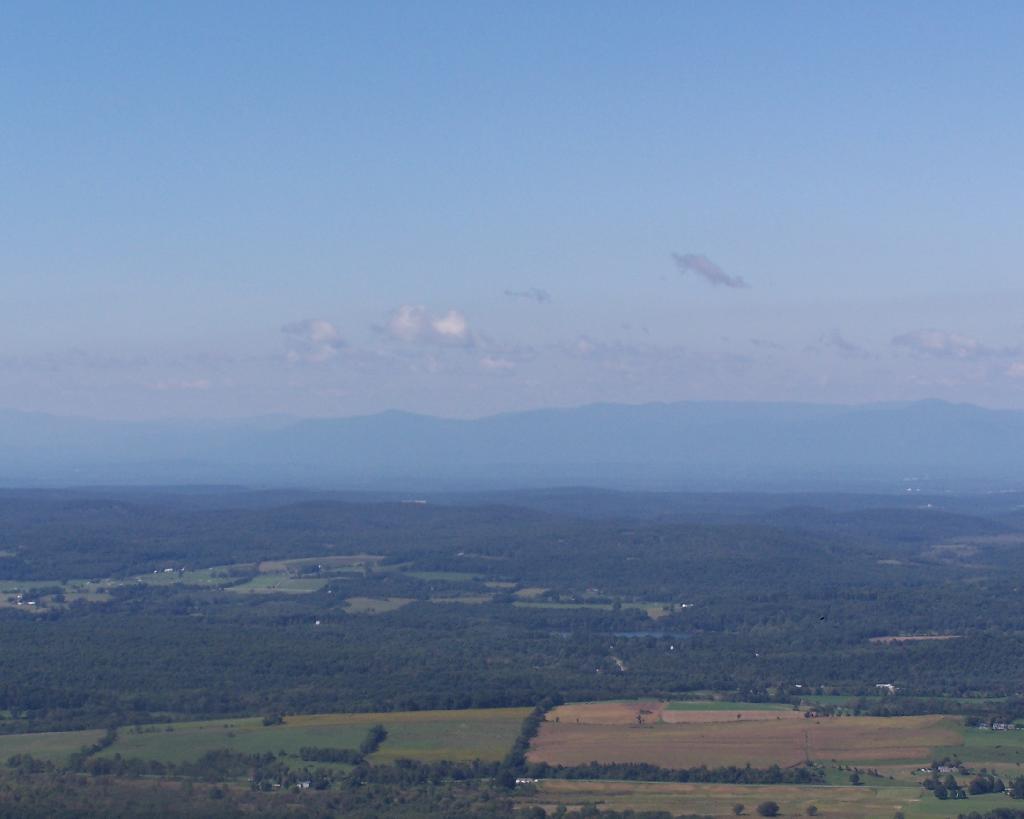
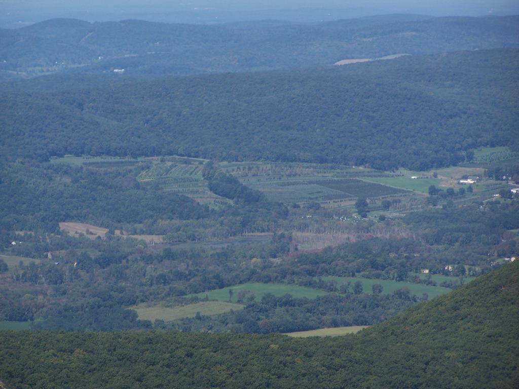
Farms and other uses throughout Copake Valley looking down towards Millerton.

Apple Orchards and Swamps. This is similar from the views from Sunset Point that I looked down from during a springtime hike.

Apple Orchards

Alander Mountain is partially in Massachusetts and partially in New York. The peak is in Massachusetts.

State Line Marker

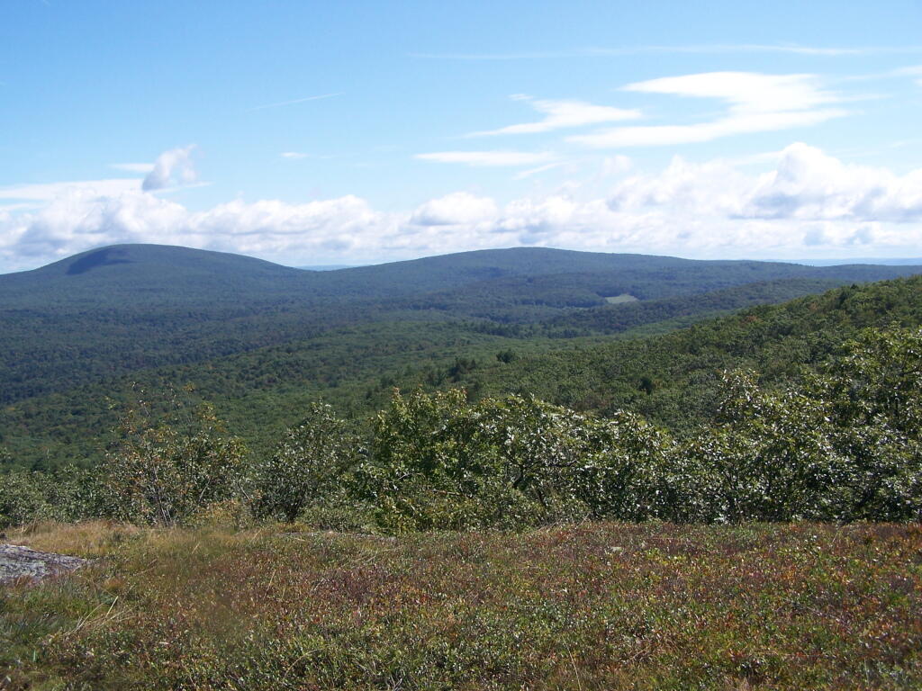
The lower unamed plateau I hiked along on the South Taconic trail. By 2:30 in the afternoon it started to look like rain once again.

Sure Looks Like Rain

Returning back to the truck, it still looked like rain. You can see Alander Mountain in the background, from the area near the Mt Washington forest headquarters.

Alander Mountain

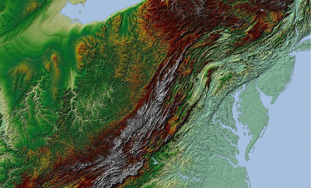
This is a map of the route.


View Hikes of 2009 in a larger map