I left around 10 AM from Albany on my first day of my vacation to the Finger Lakes, to head out to Balsam Pond in Chenango County. About a three hour drive, I figured it would break up the trip rather then go all the way out to Finger Lakes National Forest.
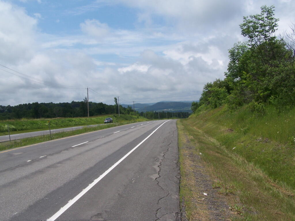
I decided to take beautiful Route 20 to Route 12 to Norwich. It was a nice drive down, but got long after a while. Many miles of dairy farms, open lands, and forests. From Norwich out to East Pharslia, it’s a relatively short drive, and Balsam Lake is located near from there. I also took a side trip to check out Brookfield State Horse Camp. This drive-in equestrian facility also offers free camping (in a field), and 130 miles of horse trails.
The sign for Balsam Tyler Road is missing, and I drove past it at first, but quickly realized my mistake, seeing a pickup truck towing a boat leaving this road.
View Finger Lakes Trip June 2009 in a larger map
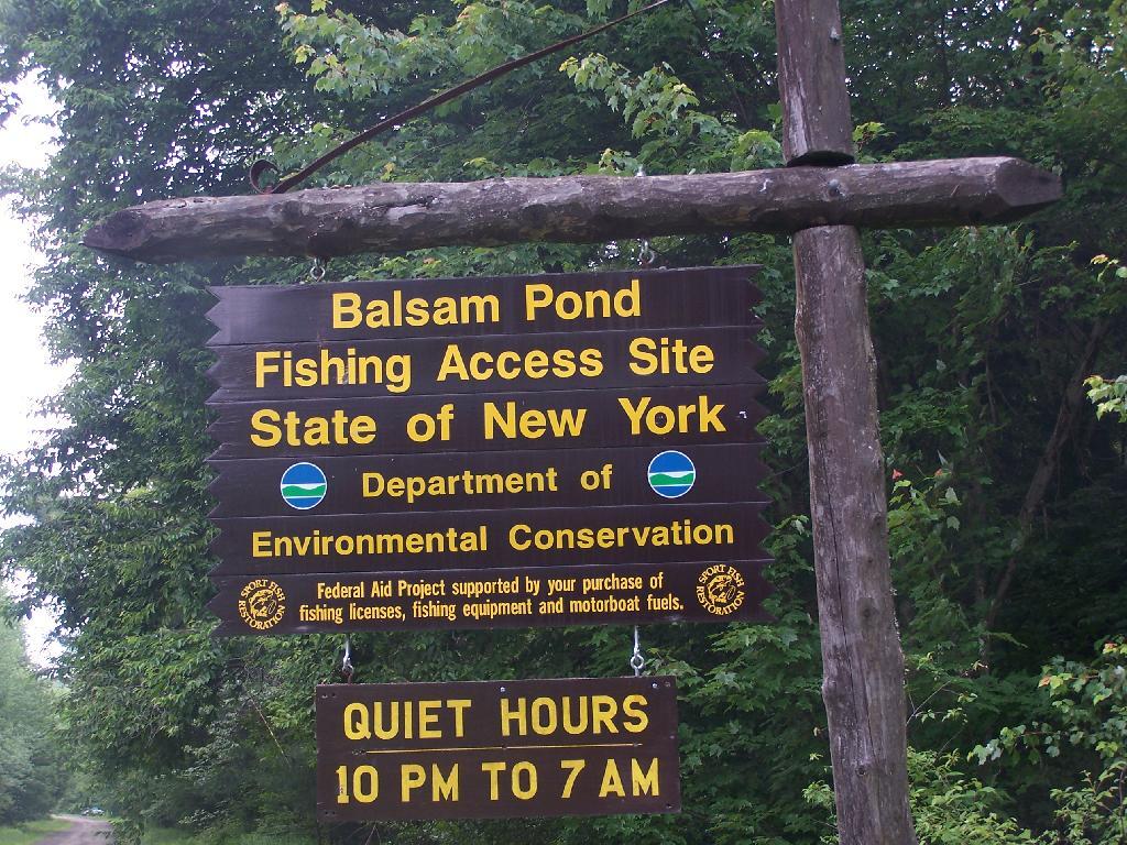
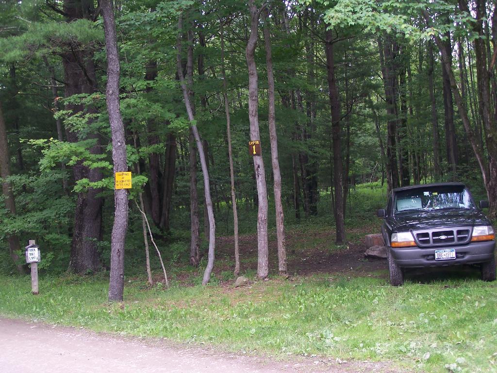
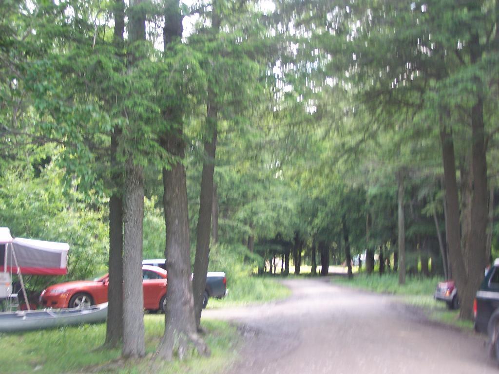
There is 10 campsites there just off Balsam Tyler Road near the Public Fishing Area sign. About 6 of them where actively used, all near the lake.
I took site Number 1. I wanted to have some quiet and not be bothered by the children down the ways which where noisy like children.
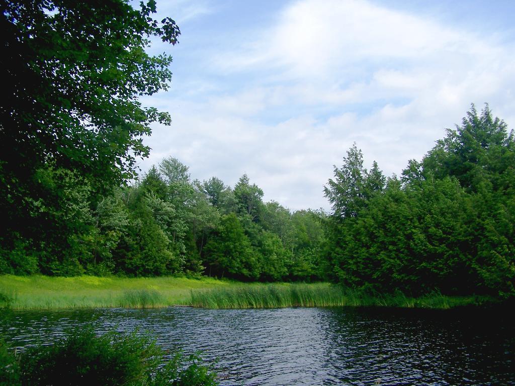
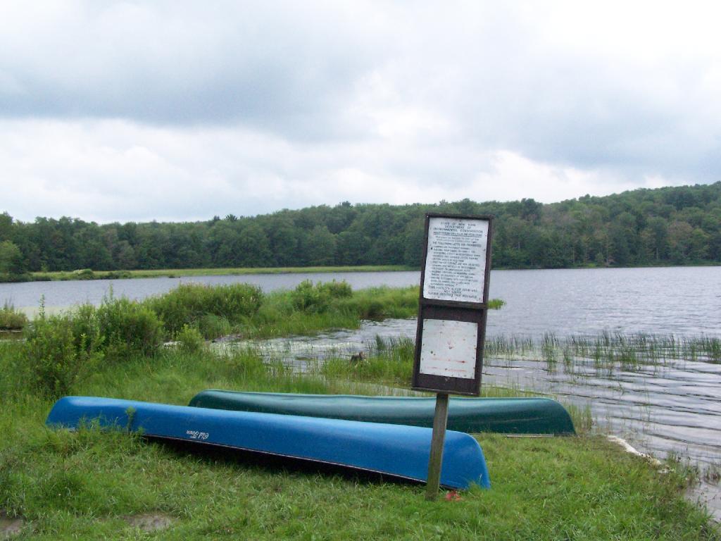
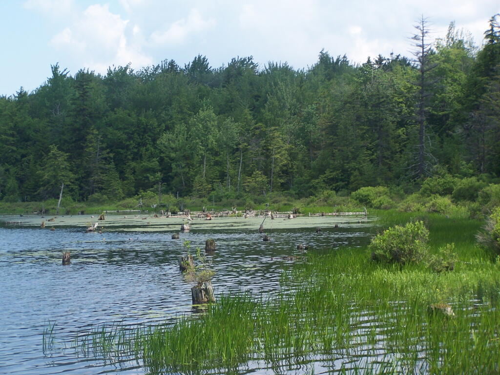
The pond looked quite nice. They allow motorized boats and fishing on the pond. Evidence of people not using the outhouse made me a little worried about the water and getting beaver fever. Needless to say, I boiled well any water I got out of there.
The pond was fairly large, man made with an earthen dam. Very popular with the locals.
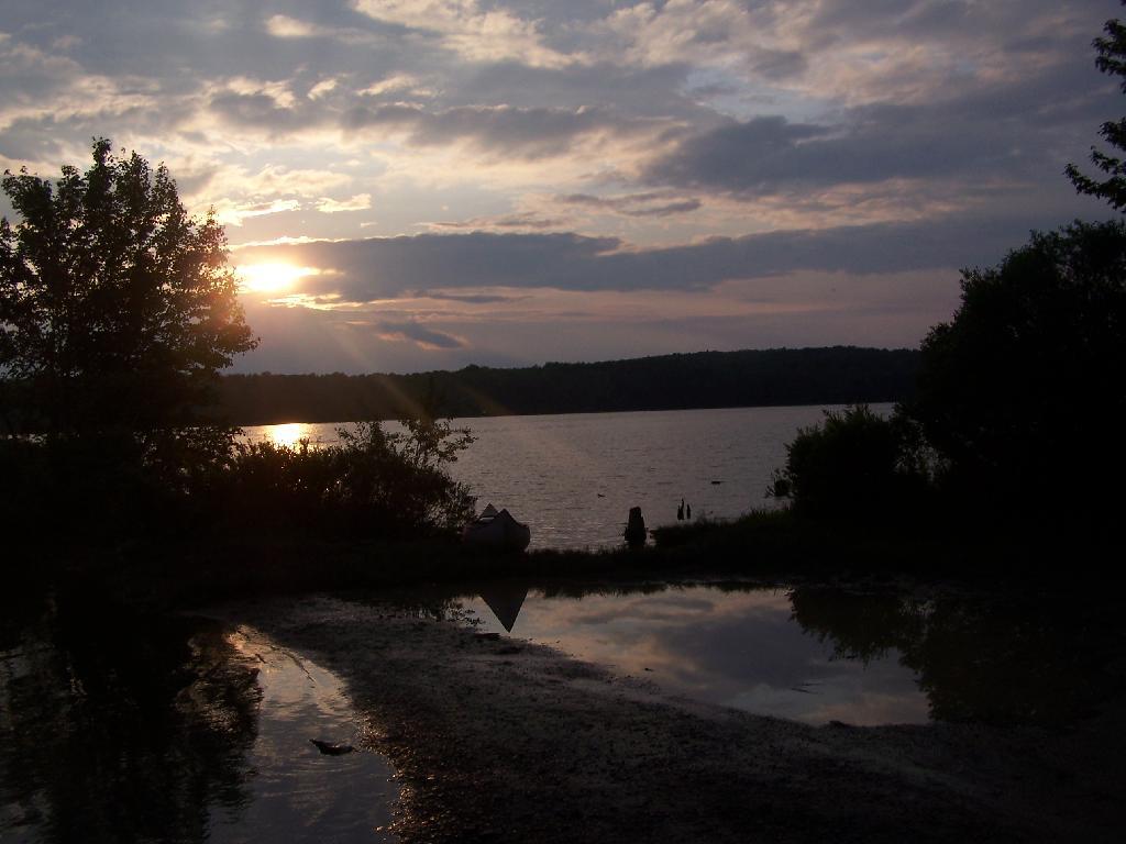
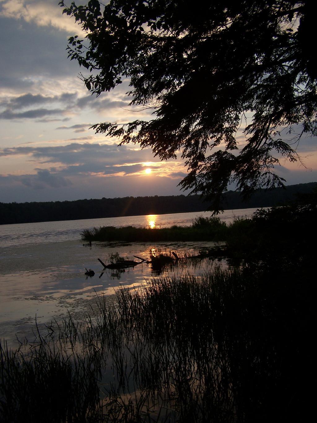
Beautiful sunset through the clouds.
I sat down by the lake as night fell.
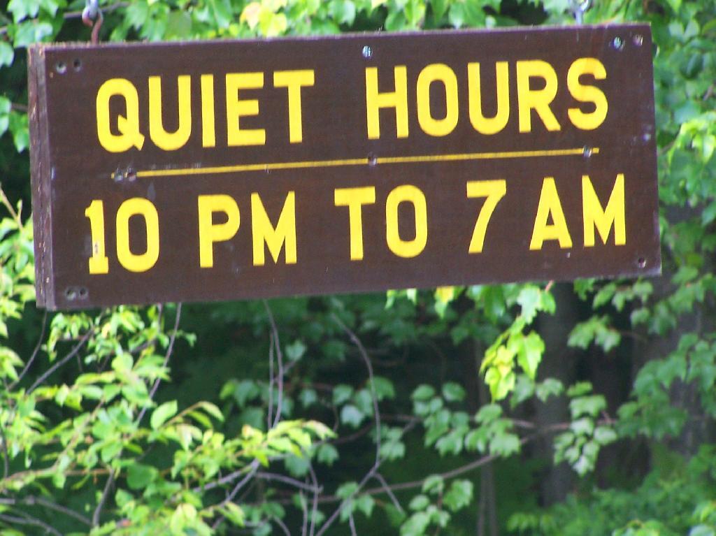
Fortunately the kids where good about being quiet once Quiet Hours came. It was real quiet and nice up there.
The next morning was quite nice.
Lots of people camping here. Appologizes for the blurry photo, I always get nervous photographing other people’s stuff.
I went for a short walk in the evening. An overview of the lake and surround areas.
View Hikes of 2009 in a larger map
