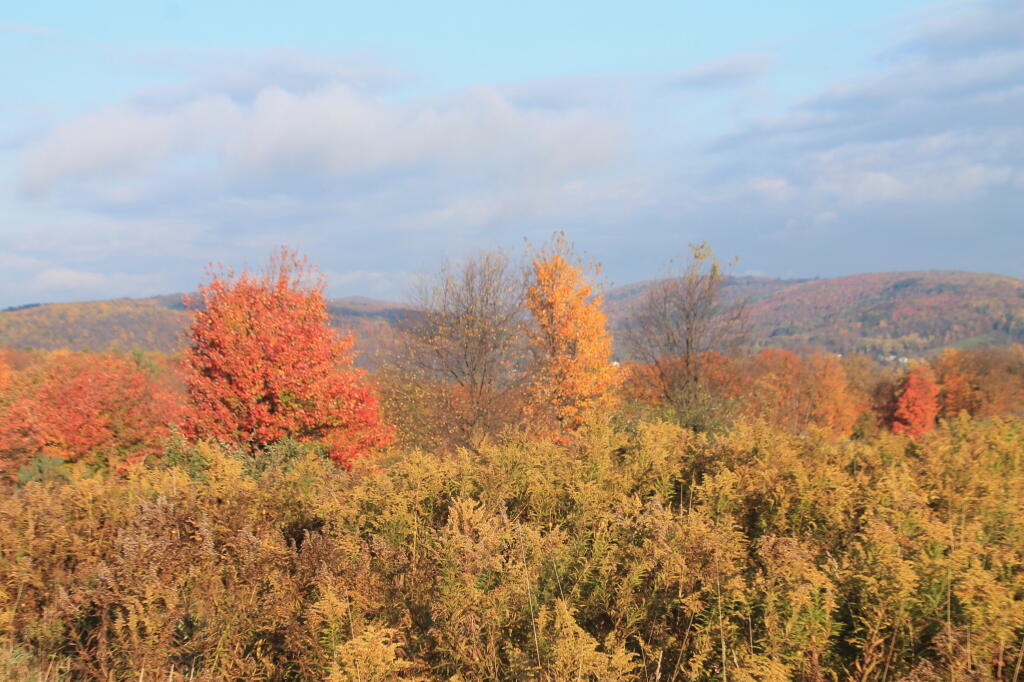
Photo: View off Smith Hill Road
Download a JPEG Image of the View off Smith Hill Road.
View off Smith Hill Road ...
Taken on Thursday October 17, 2013 at Cattaraugus County.
More about Cattaraugus County...
Cattaraugus County is a county located in the U.S. state of New York. As of the 2010 census, the population was 80,317. The county seat is Little Valley.
Cattaraugus County is in the southwestern part of the state, immediately north of the Pennsylvania border. The southern part of Cattaraugus County is the only area of western New York that was not covered by the last ice age glaciation and is noticeably more rugged than neighboring areas that had peaks rounded and valleys filled by the glacier. The entire area is actually a dissected plateau of Pennsylvanian and Mississippian age, but appears mountainous to the casual observer. The plateau is an extension of the Allegany Plateau from nearby Pennsylvania. Southern Cattaraugus County is part of the same oil field, and petroleum was formerly a resource of the area. It is now mostly played out, but natural gas continues to be extracted.
http://en.wikipedia.org/wiki/Cattaraugus_County,_New_York
Aerial Photos
End Of US 219
Great Valley
Olean
Quaker Lake
Rock City State Forest And Hungry Hollow
Salamanca
Maps and Interactives
Zoar Valley
Salmanca 1943
Red House Lake
Olean
Land Cover North of Salamanca
Lake Contours for major lakes in Cattaraugus County
Ellerton Creek Joins the Cattaraugus Creek
East Otto State Forest – Camping
Conewango Swamp
Allegany – Seneca Reservation in 1943
Zoar Valley Terrian
Zoar Valley Multiple Use Area
Rock City State Forest
Raecher Hill State Forest
Pine Hill State Forest
McCarty Hill State Forest
Golden Hill State Forest
Farmersville State Forest
Elkdale State Forest
East Otto State Forest
Conewango Swamp WMA
Cattaraugus State Forest
Bush Hill State Forest
... photos, maps and other content from from Cattaraugus County.
