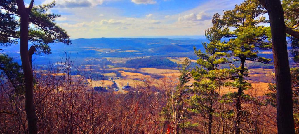
Photo: Valley Below
Download a High Resolution JPEG Image of the Valley Below or an Adobe Acrobat Printable PDF of the Valley Below.
Valley Below ...
Taken on Saturday March 16, 2024 at Batten Kill State Forest.
Location: 43.071739, -73.300089 📌
The Battenkill State Forest and Goose Egg State Forest are back to back and take up 983 acres combined. There is a small, grassy parking area on RT 313, just east of Eagleville Rd. The Folding Rock trail goes through the Battenkill State Forest, crosses briefly into the Goose Egg State Forest and then back where it ends at the southern edge. Round trip is a little over 5 miles and there is an ascent of 1260 feet. http://www.amcmohawkhudson.org/outdoors/view.asp?loc=bksf Peaked Rock Trail ... photos, maps and other content from from Batten Kill State Forest.More about Batten Kill State Forest...
Maps and Interactives
Folded Rock Trail
