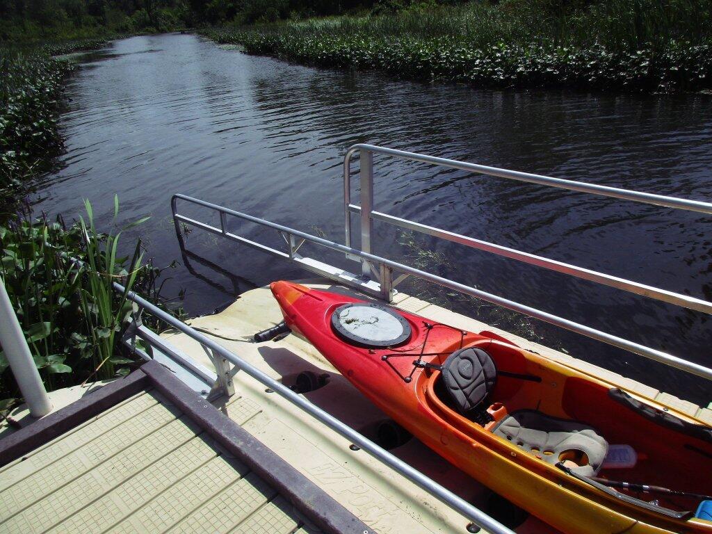
Photo: Hiking back to Bourne Pond
Download a High Resolution JPEG Image of the Hiking back to Bourne Pond or an Adobe Acrobat Printable PDF of the Hiking back to Bourne Pond.
Hiking back to Bourne Pond ...
Taken on Saturday September 2, 2017.
More about ...
Aerial Photos
Colonie Center (1952 vs. 2018)
Costcos (After vs. Before)
Crossgates 1970s (1973 vs. 1985)
Delmar Bypass (1953 vs. 2019)
Fox Lair (1942 vs. 2017)
Green Lakes State Park
High Acres Landfill
Hornell
I-86 And I-390 Interchage
Karner East Barriens
Kueka Outlet
LaFarge And Port Of Coeymans
Labor Day history: 3 pivotal moments in the modern workers’ movement : NPR
Lackawanna Steel (1963 vs. 2018)
Limekiln Falls Area
Little Falls (1957 vs. 2017)
Lyme vaccine history: Why LYMErix failed and there’s no alternative yet.
Mexico Point State Park
Mid-Crosstown Arterial Arbor Hill Section (1970 vs. 2016)
Middleburgh
NY 23 Past Windham High Peak
Newburgh (1969 Urban Renewal Proposal vs. Today)
Northern Otsego County
Northville Quarry
Olean
Original Can of Worms vs Erie Canal (1895 vs. 1971 vs. 2020)
Photo: Adirondack Homeland Rock at Crane Pond Road
Pine Creek Gorge
Plan for Albany 1794 (Overlay vs. Street Map)
Platte Clove
Proposed Mid-Crosstown Arterial South of Washington Park (1970 vs. 2016)
Quaker Lake
Quonset Hut From World War II & Beyond
SOOKE HISTORY: Bedspring Bridge was unforgettable experience | Sooke News Mirror
Salamanca
Schoharie Valley
Stamford And Mount Utsaythana
The Eagle Lake & West Branch Railroad: Discover History & Explore Nature: State Parks and Public Lands: Maine ACF
The Kunjamunk
Thruway Interchange 80s and 90s (1973 vs. 2018)
Tivoli Lake (1973 vs. 1995 vs. 2017)
Untitled
WMS Map: Auburn Arterial
Wakely Dam (1942 vs. 2017)
Washington Avenue Extension (1973 vs. 2018)
Watkins Glen from Above Seneca Lake
White Birch Pond – Tubbs Pond – Fawn Lake (1960 vs. 2017)
White House (1942 vs. 2017)
Wolf Hill
Maps and Interactives
You may noticed that I have been doing many interactive maps on the blog lately using leafletjs
Zoar Valley
Young Lake
You can see the rain to the west
Yesterday was rather overcast
Yesterday was a pretty beautiful day !
Yesterday morning for a while
Year Built – City of Beacon
Yaw Pond Road
Wysox
Wyalusing, PA
Wurstboro Curve
Worlds End State Park
World Famous Horseshoe Curve
Woodward Lake
Woods Lake
Woodman Pond and Chenango Canal
Woodlawn Preserve
Woodland Valley – DEC Campground
Wolf Road – 1952 vs Today
Wolf Pond Trail
Winooski River in West Williston
Winona State Forest
Winifred Matthews Holt Preserve
Windmill Interchange at Clearview and Long Island Expressway
... photos, maps and other content from from .
