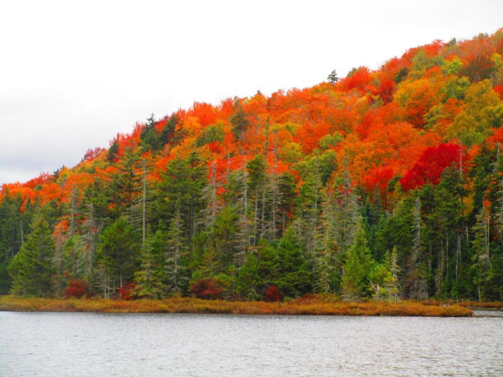
Photo: Firery
Download a High Resolution JPEG Image of the Firery or an Adobe Acrobat Printable PDF of the Firery.
Firery ...
More of the great color along Pillsbury Lake.
Taken on Sunday September 27, 2020 at West Canada Lake Wilderness.
More about West Canada Lake Wilderness...
The West Canada Lake Wilderness Area is an Adirondack Park Forest Preserve management unit in the town of Ohio in Herkimer County and the towns of Morehouse, Arietta, Lake Pleasant and Indian Lake in Hamilton County. It is bounded on the north by the Moose River Plains area and private lands in the vicinity of Little Moose Lake, Squaw Brook, Snowy Mountain and Squaw Mountain; on the east by NY 30, lands of International Paper and the Spruce Lake-Piseco Lake trail; on the south by private lands north of NY 8, the South Branch of West Canada Creek and an access road to private lands; on the west by West Canada Creek and private lands east of Honnedaga Lake.
The area contains 168 bodies of water covering 2,400 acres (9.6 km2), 78.3 miles (126 km) of foot trails, and 11 lean-tos. The 133-mile Northville-Placid Trail traverses it.
Maps and Interactives
Spruce Lake
Sampson Bog
Cedar Lakes
Pillsbury Lake
Oxbow Lake
As late as the 1954 you could drive up to Pillsbury Lake
Falls Pond Trail
West Canada Lakes
T Lake Trail
Falls Pond
Deep Pond Trail
Brooktrout And Deep Lake
... photos, maps and other content from from West Canada Lake Wilderness.
