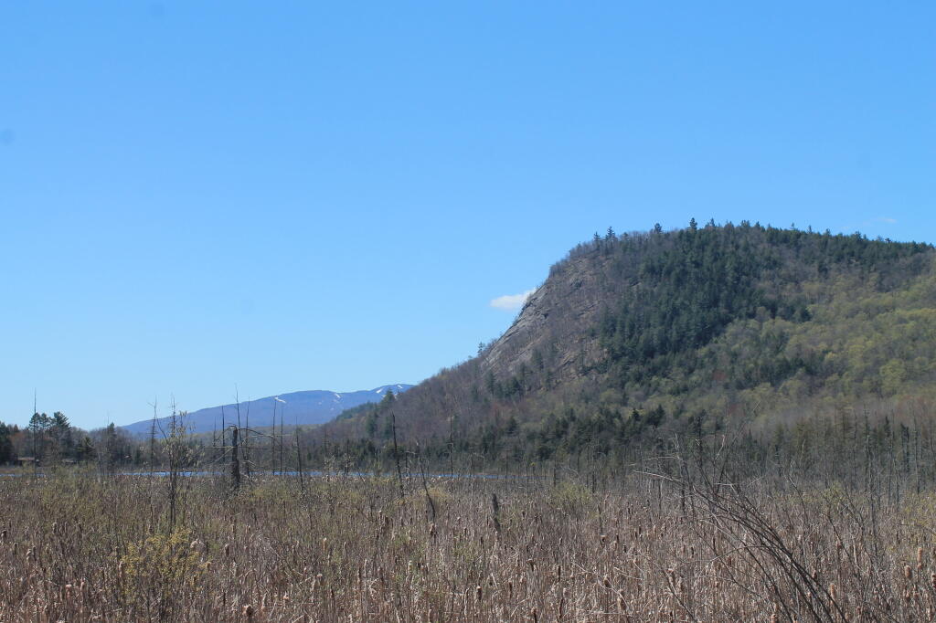
Photo: Cliffs of Moxham Pond
Download a High Resolution JPEG Image of the Cliffs of Moxham Pond or an Adobe Acrobat Printable PDF of the Cliffs of Moxham Pond.
Cliffs of Moxham Pond ...
Taken on Sunday May 5, 2013 at Vanderwhacker.
More about Vanderwhacker...
The Vanderwhacker Mountain Wild Forest is a 92,000-acre (370 km2) tract made up of almost 2 dozen non-contiguous parcels that are designated as Wild Forest by the New York State Department of Environmental Conservation in the central Adirondack Park. The area contains 44 ponds and small lakes, and portions of the Hudson and Boreas Rivers. The area supports hiking, birding, snowmobiling, Nordic skiing, hunting, camping, canoeing, and fishing. The area is served by NY-28.
Maps and Interactives
Rift Mountain – Blue Ledges
Northwood Club Road
Newcomb Lake
Moose Club Way – Vanderwhacker Road Campsites
Lester Flow
Huntley Pond
Cheney Pond and Lester Flow
Campsites Along NY 28N
Blue Ledges Trail
Vanderwhacker Firetower Trail
Rankin Pond
Northwoods Club Road Campsites
Hewitt Eddy (Boreas Loop) Trail
Goodnow Mountain
Cheneny Pond
Balfour Lake
... photos, maps and other content from from Vanderwhacker.
