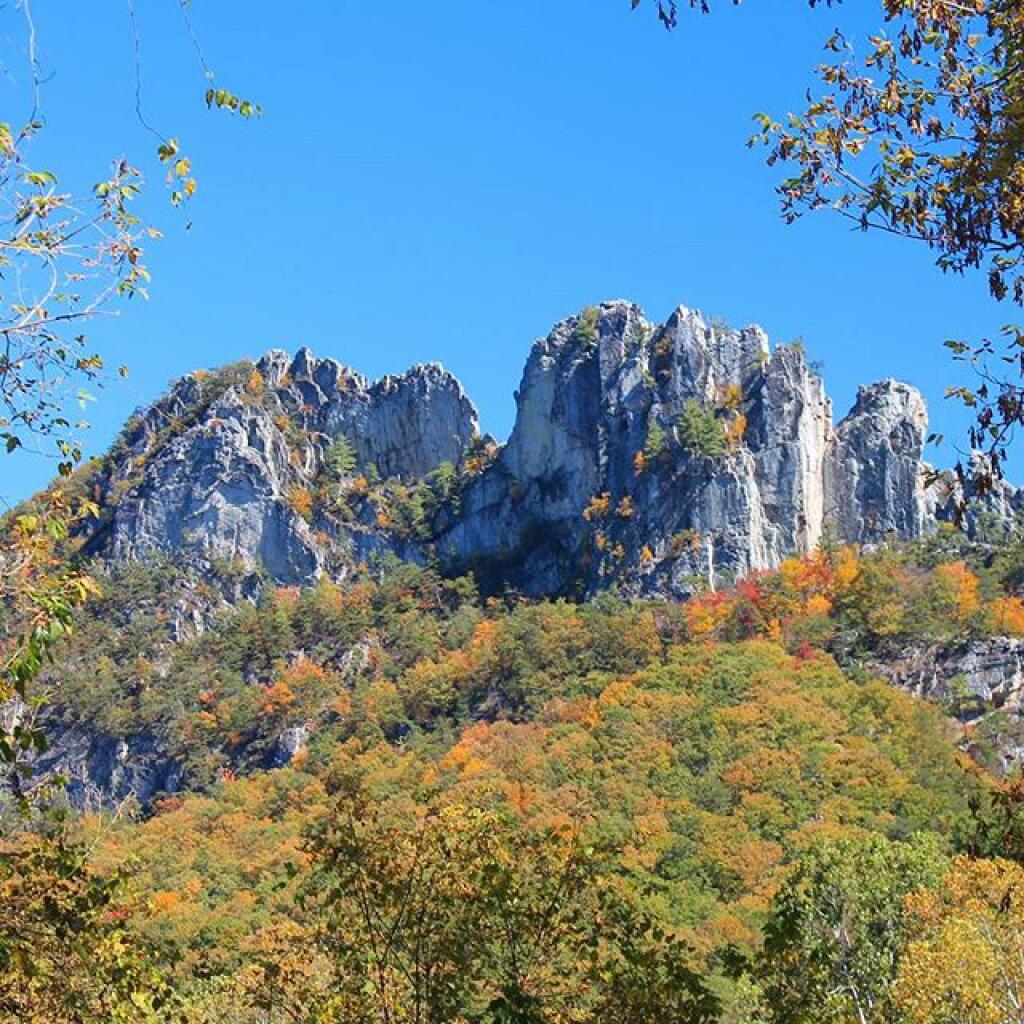
Search Results for: photo campsite 2 2

Camping in Green Mountains National Forest

Green Mountain National Forest Camping πŸ•

Here is a full-screen interactive map, that uses the official forest service maps as a backdrop. You will need to zoom in to see the individual roads.

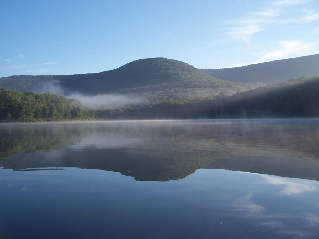
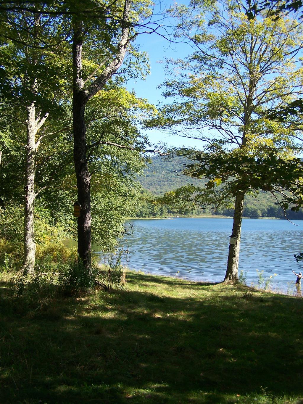
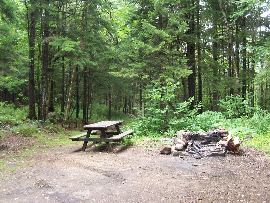
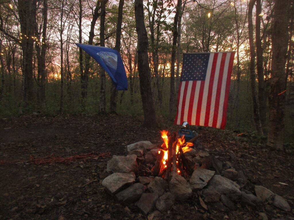
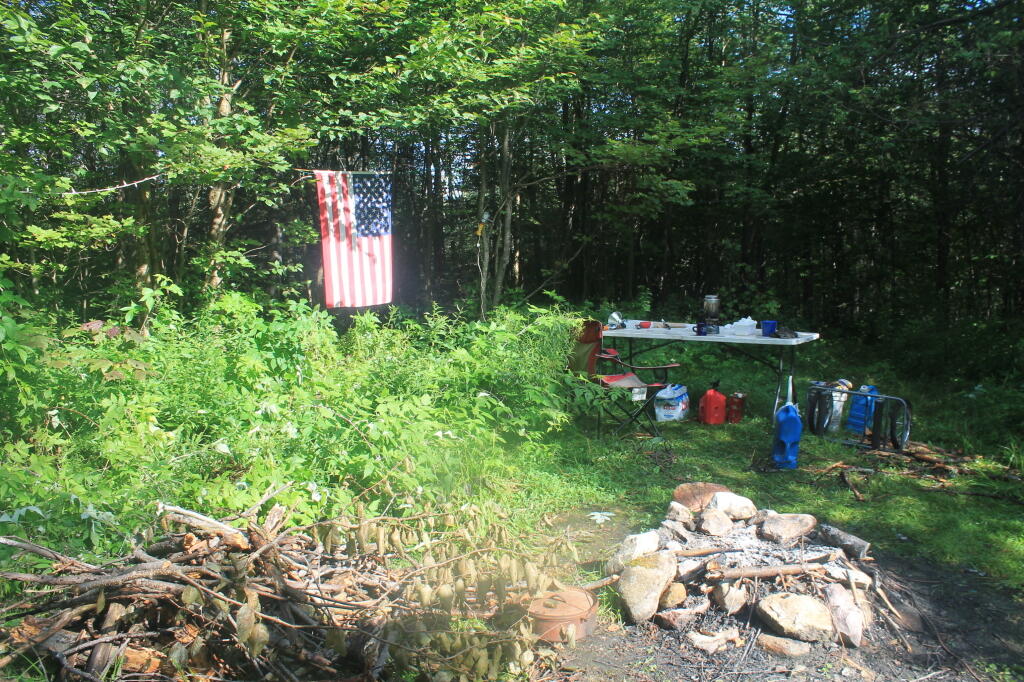
In the Green Mountain National Forest there are a variety of back country roads, offering primitive roadside camping.

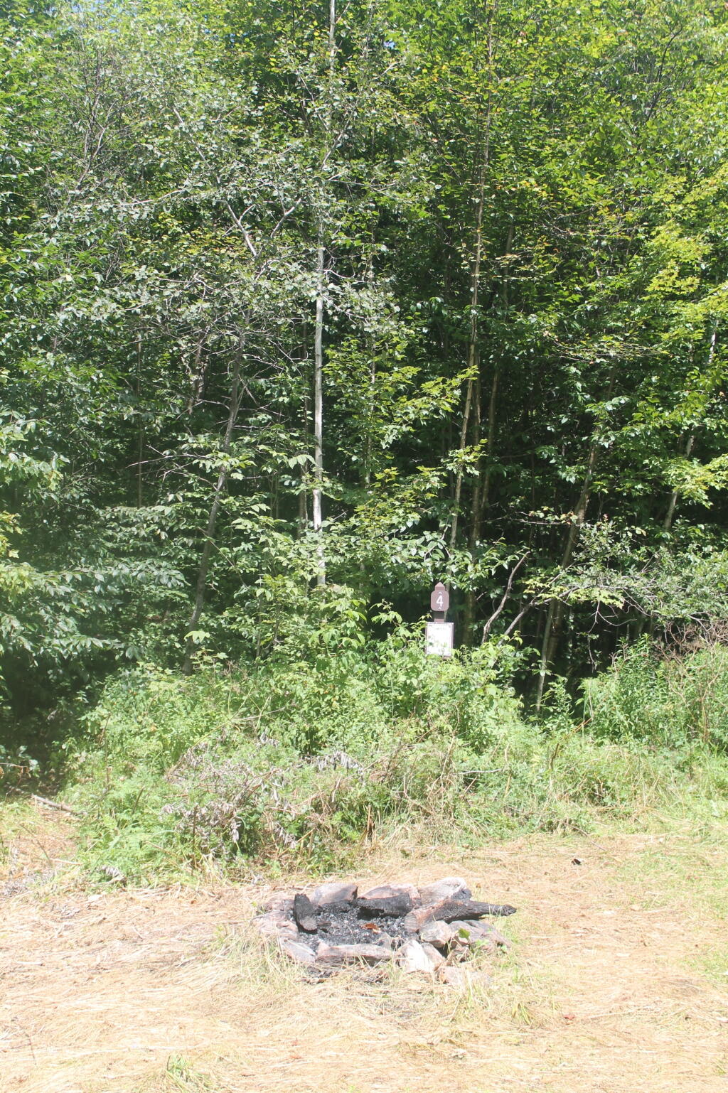
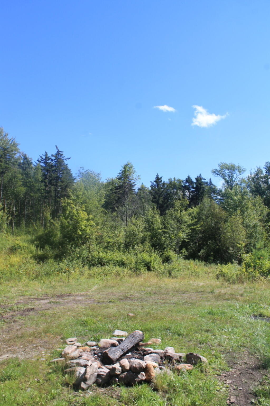
  • Campsites are free to use, and have no facilities except for a fire ring and a pull-off from the road, and sometimes a site reinforced with gravel.
  • As noted below, some campsites have additional facilities.
  • Don’t make a mess of campsites, pack out any garbage left over.
  • Burn only dead and down trees, don’t bring in wood from out of state.
  • You can camp up to 14 days per 30 day period in Green Mountain National Forest — no permits are required.

Here is a listing of the campsite coordinates in a spreadsheet (Green Mountain tab). Please note, these coordinates are not exact as they are drawn based on memory.

Please see also information on dispersed, roadside and back-country camping in New York State, Pennsylvania and West Virginia.

The below descriptions of camping areas from the Green Mountain National Forest’s webpage, General Forest Camping.

 North Half of the Green Mountain National Forest

Note: You must zoom in to see individual roads on above interactive map. Campsite locations were added by hand-digitizing and are not exact.

Austin Brook Road: There are three easily accessible campsites by Austin Brook on Forest Road 25 in Warren. They are all within 0.25 mile of State Route 100.

Campsite 4

Bingo: Forest Road 42 in Rochester runs alongside a mountain stream; camping is allowed at designated sites only. These 10 campsites are available on a first-come, first-served basis. There is a limit of 10 people per site. Check the Bingo Brook bulletin board for designated site locations and other site limitations.

Downingville: There is one secluded site in a small clearing near a mountain stream on Forest Road 291 in Lincoln.

Fay’s Meadow: There are a few sites in an open meadow in Forest Dale. Please do not drive on the meadow because a farmer mows the hay from it. There is a stream for wading and fishing at the north end of the meadow.

Goshen Brook Road: There are a few campsites in and around an open area just beyond the turnaround at the very end of Forest Road 67 in Ripton.

Kettle Brook: A small meadow site at the end of Furnace Brook Road in Pittsford.

Michigan Brook Road: Forest Road 35 in Pittsfield provides many camping opportunities in the woods and along Michigan Brook. The road is not recommended for low clearance vehicles.

New Haven River: There are a few campsites next to the New Haven River at Emily Proctor and Cooley Glen trailhead, on Forest Road 201 in Lincoln.

Field Camping at Romance Header Campsite

Romance Header: A large meadow campsite at the end of Forest Road 224 in Forest Dale. A stream lies to the southeast of the meadow.

Sparks Landing: There is one site in a small meadow on Forest Road 233 in Lincoln. There is good fishing in Sparks Brook, which lies just south of the meadow.

Steam Mill Clearing: There is a large open field on both sides of Forest Road 59 at the Skylight Pond Trailhead in Ripton.

Texas Falls Campsite

Texas Gap: These old fields and side roads on Forest Road 39 in Hancock offer many camping opportunities.

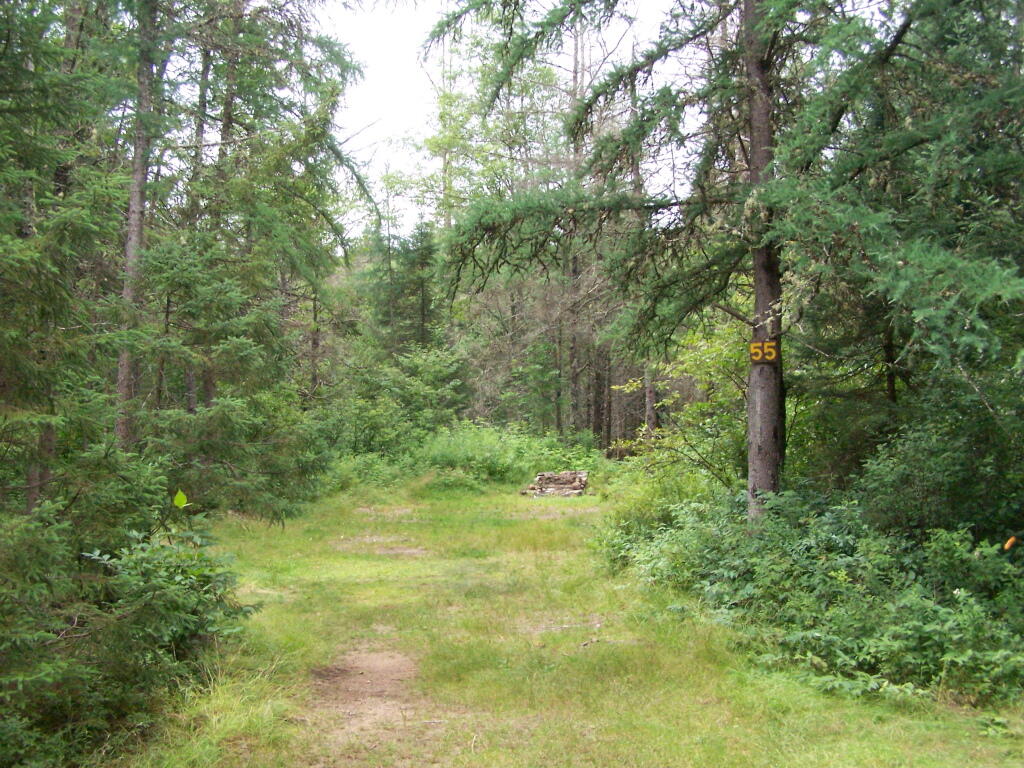
White River & Gulf Brook Roads: Secluded camping, open fields, and beautiful views are offered from the abundance of primitive campsites found along Forest Roads 55 & 101 in Granville.

South Half of the Green Mountain National Forest

Note: You must zoom in to see individual roads on above interactive map. Campsite locations were added by hand-digitizing and are not exact.

 Campfire

Branch Pond Road: Several sites on this road off of Kelley Stand offer good camping opportunities.

Making Breakfast at Camp

Forest Road 71: This forest road stretches from the old Somerset airfield to the Kelley Stand Road. Campsites can be found in various spots along the way, and along some of the forest roads leading off of Forest Road 71.

Untitled [Expires October 13 2024]

Forest Road 74: This forest road is a little less remote than other roadside camping opportunities. Off Vermont Route 9, it dead-ends a couple miles in. Campsites are found unevenly spaced along the way. This area fills up early as it’s one of most accessible.

Kelley Stand Road: Connects the towns of Arlington to West Wardsboro, traveling along an unpaved forest road. A handful of campsites are avaliable on this road, many of the sites along Roaring Brook are permanetly closed.

Morning

Old Job: Off Forest Road 30 there are a few camping opportunities; an open area along FR 30, and both an open field area and a site near Lake Brook at the end of FR 30.

Somerset Road Bridge

Somerset Airfield Campground is a small primitive campground along Forest Road 71. There is a pit-privy and fireplaces in this field camping area. Also popular is Castle Brook Road, near the Deerfield River. This area fills up early, and is known for rowdy crowds but is good if you have a big camper.

Kayaking Big Pond

Big Pond is one of the two larger ponds in the Catskills accessible to the public. Located in the Western Catskills, near Alder Pond, it has eight paddle in or hike in tent sites, and some pretty views.

Seneca Rocks, WV

I paddled in on August 17, 2010. These are the pictures I took paddling around the lake.

Paddling

Night is Creeping Up on Me. I didn’t realize how quickly it got late at Big Pond, and I had even started dinner. To make matters worst, my white-gas lantern wouldn’t start, so I had to do everything by flash light.

Night is Creeping Up on Me

Towards the Dam. On this valley fog morning.

Towards the Dam

Barkaboom Mountain Before Dawn. The early rays of sun have yet to hit it on this beautiful morning.

Barkaboom Mountain Before Dawn

Fishermen. Out before the crack of dawn, dropping their line and testing their luck on Big Pond.

Fishermen

Light Hits Bank. The first rays hit the western bank of the lake, providing some of the greens of the day once again.

Light Hits Bank

Sunrises. Through the fog as I’m paddling around the lake.

Sunrises

Fog is Burning Off. Along the Western Edge of the lake towards Barkaboom Mountain.

Fog is Burning Off

Rays of Sun. Sparkle down on the lake as it continues to clear on out.

Rays of Sun

Fishing. Man covers his eyes as he looks out across the water.

Fishing

South. Looking down and across the lake as morning arrives.

South

Sunlight sparkles through the trees. Good Morning on Big Pond.

Sunlight

Barkaboom Mountain Reflects On the Lake.

Barkaboom Mountain Reflects On the Lake

Across the Lake. As I am making breakfast on this Sunday morning in the Catskills.

Across the Lake

Inholding. While most of Big Pond is part of the Middle Mountain Wild Forest, about 200 feet of shore line is privately owned. The folks in the cabin where really friendly when they stopped by in their electric pontoon boat, but it did kind of wreck the scenic view especially from where I was camping.

Inholding

Dogs Swimming in Big Pond. This is at one of the other campsites at Big Pond.

Dogs Swimming in Big Pond

Big Pond, as seen from the Parking Area.

Big Pond from Parking Area

Here is a map of Big Pond. The inholding is not shown on this map, and the DEC land boundaries are incorrect, extending farther north then the map shows.

Map and Coordinates List for NYS DEC Firetowers πŸ—Ό

Discover a wealth of information on this page about fire towers situated on state lands, accessible through invigorating hikes that lead to panoramic vistas. Interactive maps guide your exploration, offering insights into the locations and trails leading to these towering viewpoints. Additionally, find convenient links to other pages that delve deeper into fire towers across the entirety of New York State. Embark on a journey that combines outdoor adventure with breathtaking scenery, as you navigate the trails and pathways leading to these historic landmarks that have stood as guardians of the landscape. This resource opens doors to captivating experiences that allow you to savor the beauty of nature from elevated perspectives while providing avenues for further exploration of New York’s fire tower heritage.

Here is a list of Fire Towers on NYS DEC lands. You can get this also on Google Sheets. Does not include the Dickinson Hill Fire Tower in Grafton, which is part of the Grafton Lakes State Park. You might also be interested in nearby camping opportunities.

TowerState LandNotesCoordinates
Azure Mtn. Fire TowerDebar Mountain Wild ForestRelatively short hike.44.5412601955876,
-74.5007131438668
Balsam Lake MountainBalsam Lake Mountain Wild ForestLonger hike along old road.42.0453530369935,
-74.5943882522534
Belfry Mountain Fire TowerHammond Pond Wild ForestVery short hike up dirt road.44.0977783227959,
-73.5480575565177
Berry Hill FiretowerMcdonough State ForestOnly up to second level is open, no upper level access.42.5498033738312,
-75.6903147862666
Black Mountain Fire TowerLake George Wild ForestLonger hike up a snowmobile trail.43.6068253423597,
-73.5315598873687
Blue Mountain Fire TowerBlue Mountain Wild ForestVery popular, worn-down trail.43.8722986188442,
-74.4007350580445
Lowville Demostration Area
Fire Tower
Lowville Demonstration AreaNo access to tower, part of demonstration forest.43.8093267984132,
-75.4730800808841
Goodnow Mountain Fire TowerSuny Esf LandsOpen to public, SUNY ESF Lands43.9598725064095,
-74.2096091339017
Hadley Mountain Fire TowerWilcox Lake Wild ForestPopular hike in Southern Adirondacks.43.3769100935034,
-73.9709647959219
Hunter Mountain Fire TowerHunter-West Kill WildernessMultiple approaches to this fire tower offer different hikes with different amounts of work.42.1779299997605,
-74.2297619994181
Hurricane Mountain FiretowerHurricane Mountain Primitive AreaThe only fire tower remaining in the Adirondack High Peaks.44.2352949729449,
-73.7101070215222
Kane MountainShaker Mountain Wild ForestShort hike near Caroga Lake.43.1810788942093,
-74.5151618559196
Beebe Hill Fire TowerBeebe Hill State ForestShorter hike near Austerlitz and Massachussetts border.42.3361525194561,
-73.4862760091067
Leonard Hill Fire TowerLeonard Hill State ForestYou can drive to this tower. Bottom floors removed, no access to tower.42.4510039574136,
-74.3529141572996
Lyon Mountain Fire TowerChazy Highlands Wild ForestLonger hike, new trail avoids severely erroded old trail44.7048354583899,
-73.8627762019644
Mount Adam Fire TowerHigh Peaks WildernessJust south of main high peaks area.44.0874829962416,
-74.0228637207712
Mount Nimham Fire TowerNimham Mountain MuaNear Beacon41.4611546516545,
-73.72510657899
Mount TremperPhoenicia – Mt. Tobias Wild ForestFollow an old woods road to summit.42.0739476727477,
-74.2781528438603
Mt Arab Fire TowerHorseshoe Lake Wild ForestRelatively short hike outside of Tupper Lake.44.2046152316571,
-74.5879293129745
Overlook MountainOverlook Mountain Wild ForestPopular hike outside of Woodstock, follows a gated road.42.085023587202,
-74.0933592964641
Owls Head FiretowerSargent Ponds Wild ForestModerate hike outside of Long Lake.43.9542904615568,
-74.4984616500416
Pillsbury Mountain Fire TowerJessup River Wild ForestMile long hike to a firetower with views over Perkins Clearing and areas around Spectulator43.5807556043109,
-74.5118079500206
Poke-O-Moonshine Fire TowerTaylor Pond Wild ForestNew trail is less steep and follows old woods road.44.4019104158425,
-73.5130620065356
Red Hill Fire TowerSundown Wild Forest1 mile hike to a fairly remote firetower.41.9238122519417,
-74.5170620256067
Rondaxe Fire TowerFulton Chain Wild ForestQuick hike outside of Old Forge that is very popular.43.7385880495938,
-74.9129188420394
Roosa Gap FiretowerRoosa Gap State ForestFiretower on the Long Path in the Shawgunks.41.6176280752519,
-74.4267422878805
Snowy MtJessup River Wild ForestPopular hike, one of the more difficult towers to access.43.7003213769888,
-74.3866001142199
Spruce Mountain Fire TowerWilcox Lake Wild ForestTrail crosses private land, closed during hunting season.43.2163188109202,
-73.9061192265182
St. Regis Mtn. Fire TowerSaint Regis Canoe AreaCurrently closed to public use.44.4085838385311,
-74.3296128971506
Stillwater Mountain Fire TowerIndependence River Wild ForestNear the Stillwater Reservior.43.8618343053993,
-75.033327606033
Sugar Hill Fire TowerSugar Hill State ForestObservation tower in Finger Lakes, during summer months you can drive to it, part of Six Nations Horse Cap.42.3871467022238,
-77.0025364212371
Vanderwhacker Mountain Fire TowerVanderwhacker Mountain Wild ForestRough seasonal road then 2 Β½ mile hike.43.8982271055416,
-74.0959123515681
Wakely Mountain Fire TowerWakely Mountain Primitive AreaNear Cedar River Flow at Moose River Plains. Seasonal use road to access.43.7358887903725,
-74.515229327937
Woodhull Mountain Fire TowerBlack River Wild ForestOne of the longer hikes, part of the trail is an old railroad grade until you climb the peak.43.6230161401271,
-74.9615452951445

Fire Tower

Β 

Β 

This year I spent 63 nights in the wilderness. πŸ•

Rise and Shine, Finger Lakes Campers

April 2020 – 2 nights

  • Two nights on the East Branch Sacandaga River

May – 8 nights

  • Two nights on the East Branch Sacandaga River
  • Three nights at Mason Lake, Memorial Day Weekend
  • Three nights on Hardwood Hill after Memorial Day

June – 15 nights

  • 3 nights on Hardwood Hill
  • 3 nights at Mason Lake
  • 3 nights at Mason Lake
  • 1 night Hardwood Hill
  • 3 nights at Horseshoe Lake
  • 2 nights at Jones Pond

July – 13 nights

  • 3 nights on Forest Road 71 Green Mountain National Forest
  • 2 nights near Somerset Airfield Green Mountain National Forest
  • 3 nights on Piseco Powley Road near Potholers
  • 3 nights at Spectulator Tree Farm, Old Route 8B
  • 2 nights Piseco Powley Road

August – 10 nights

  • 8 nights – Finger Lakes National Forest (summer vacation)
  • 1 night at Cole Hill State Forest (hammock camping in the back country)
  • 1 night at Burnt Rossman State Forest near Duck Pond

September – 7 nights

  • One night on upper Forest Road 71 Green Mountain National Forest, Thursday Labor Day Weekend
  • 3 nights Forest Road 71 Green Mountain National Forest near Shep Meadow Labor Day Weekend
  • 3 nights at Mason Lake

October – 1 night

  • One night Cherry Ridge Camping Area in Brookfield

November – 5 nights

  • Stoney Pond State Forest during second week of November
  • Piseco-Powley Road – House Pond Campsite, two nights after Thanksgiving

December – 1 night

  • New Years Eve – East Branch Sacandaga River in the Adirondacks

Gold Mine Stream Falls, the Potholers Little Brother 🏞

Gold Mine Stream Falls, the Potholers Little Brother β›²

Roughly 200 feet south of Campsite 14 on Piseco Powley Road, past a small wetland there is a trailhead marked with a water bottle. This unmarked trail is roughly two miles back to the Gold Mine Stream Falls. This gentle set of cascades and drops has several small pools at the bottom with a gentle flow of water over the rock face. It’s a nice place to hike to and cool off on a hot summer day. Not as big as the Potholers and lacking the little deep pools or big waterfalls, it’s still a nice place to cool off on a hot day.

Gentle Drop Into A Golden Pool

Pool

Goldmine Stream Falls

Probably the last time at the Potholers until after Labor Day Weekend 🏊

Probably the last time at the Potholers until after Labor Day Weekend 🏊

 Work Continues On Brayhouse Brook Crossing

Truth be told that isn’t that far away and it seems like they are making progress on reopening Piseco Powley Road and maybe access will be available by the start of hunting season by September 1st. They probably have to be done by September 30th, the end of the municipal fiscal year to get state grants for storm rebuilding.

I always like a good Indian Summer trip to the Potholers, one last visit before the nip of the autumn air kicks in and I get busy with autumn activities at work. Maybe either camp at the House Pond site or Powley Place.

By waiting until after Labor Day, the crowds will be gone, more campsites will be open and more choices will be available for a nice weekend in the wilderness.

I am thinking like in years past, I would combine it with a trip to Moss Island and Little Falls, hike some of the bike trail or paddle some of the canal as summer 2020 fades away into the colors of autumn. Seems like a fitting end to the summer.

The Plains vs remote camping

When I camp at Moose River Plains I often go between camping in the plains proper near the major destinations like Helldiver Pond and the Moose River, and camping somewhere more remote along the roads.

Campsite 55

Plains proper

  • Sandy soils
  • Beautiful landscape
  • Butterflies, grass land birds
  • Near destinations like Helldiver Pond, Moose River, Beaver Lake so you can walk there from camp
  • Lots of sun and blue skies for solar
  • Great view of the stars
  • Decent privacy based on the layout of the campsites at least visually
  • Sound carries in the plains, you can easily hear nearby campsites, less of a wilderness experience
  • Have to keep the noise down
  • Can feel a bit like a developed campground

Campsite on Moose River Plains road

Outlying Areas in the Plains

  • Heavy forested, kind of generic Adirondack wilderness
  • Typically heavily shaded and cooler in the summer months
  • Other campsites a 1/4 mile or further away
  • You don’t hear noise or voices from other campers
  • You can listen to music loud, shoot guns, light off fireworks into the night without bothering folks.
  • Target shooting from camp!
  • Much better privacy and feels much more wilderness like.