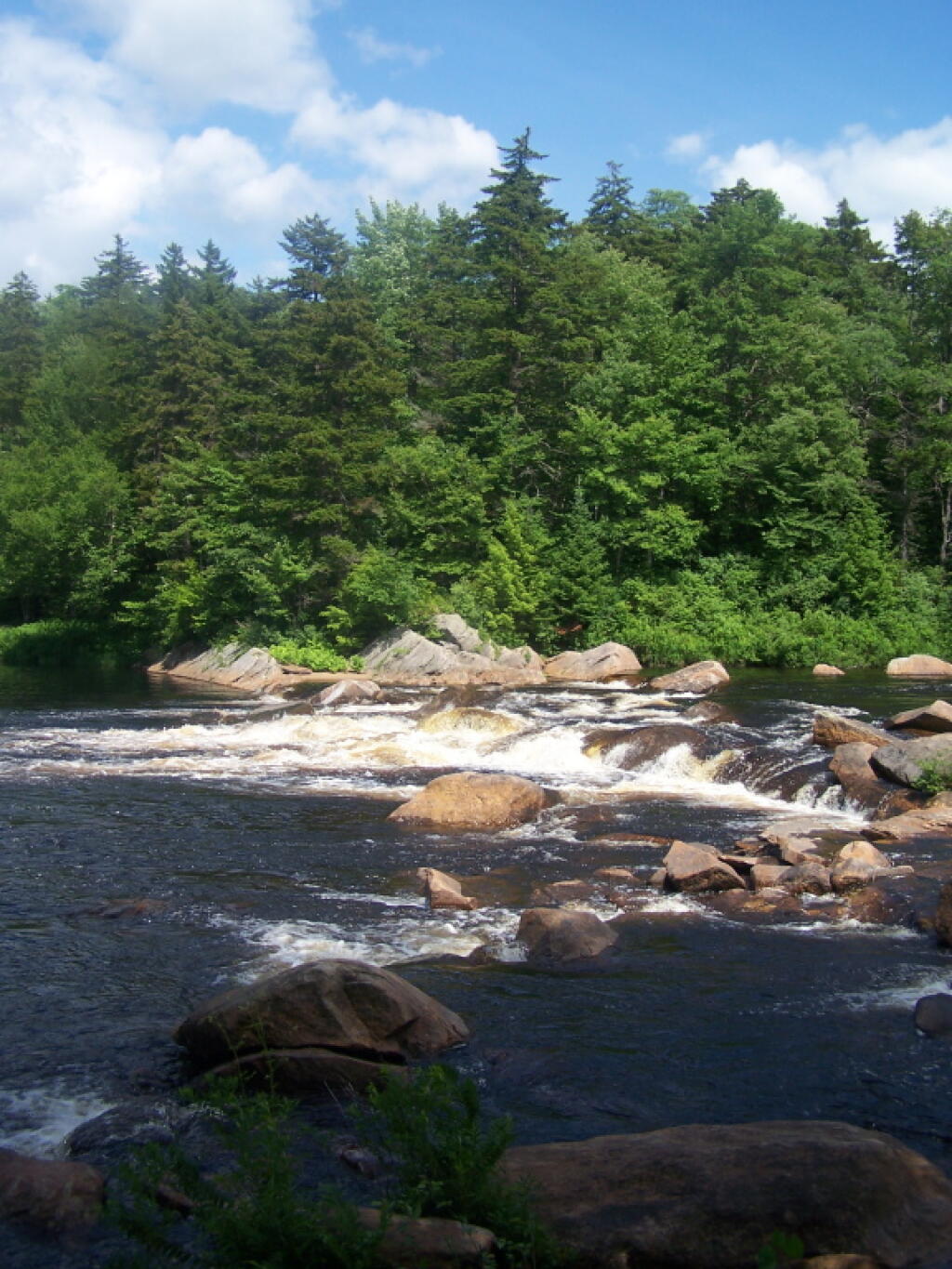
Cascade Lake – Scenic lake known for Cascade Falls, about a 1/4 mile north of the lake outside of Big Moose and Inlet. Tent campsites that are about a mile back from the road.
Eatonville Road and Otter Creek Area – Otter Creek State Forest and the portion of Independence River Wild Forest that is home to Confusion Flats, is a popular place for equestrians, but the Eatonville Road area is set aside for those who don’t have horses but want to explore the mix of sandy hills that make up the Western Adirondacks.
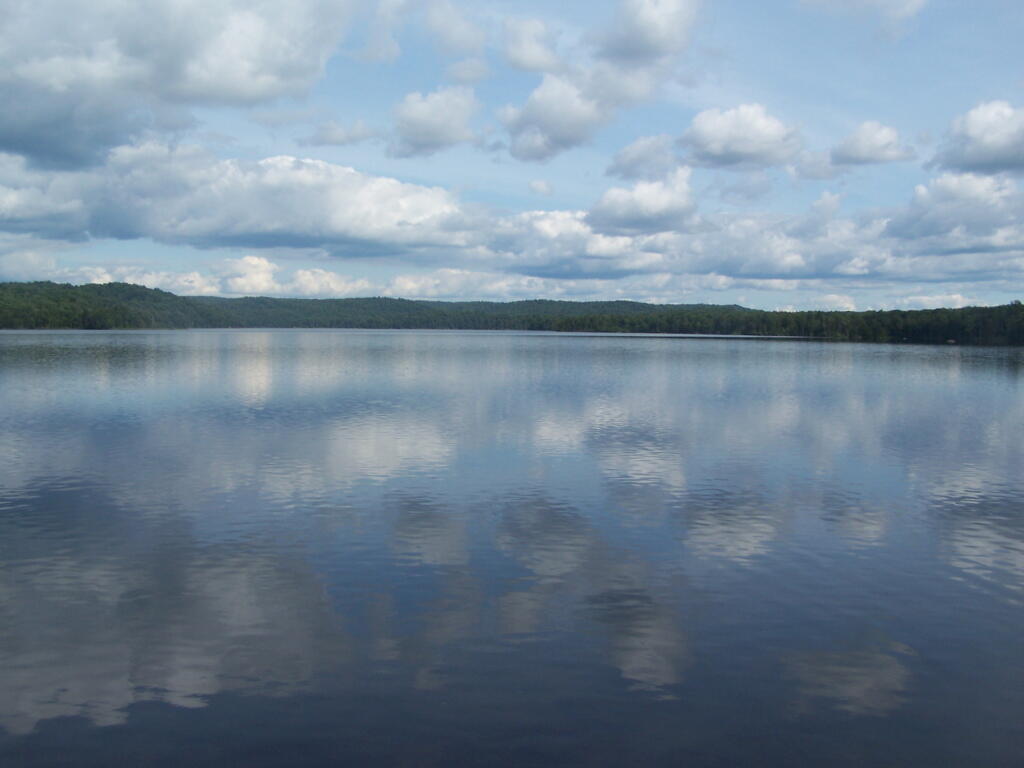
Francis Lake – If your looking for a campsite you can paddle to on a lake that isn’t so choppy or large near Stillwater Reservoir, consider camping at Francis Lake. Parking is on the shoulder of Number 4 Road outside of Lowville, there also is two designated handicap sites here.
Lester Flow and Cheney Pond – Scenic lake that is popular for paddling. The 1/2 mile road down from Boreas Road as of June 2020 is closed due to washouts. Tent sites exist along the lake, along with one drive-to site on the road down there. No cell service.
Independence River Wild Forest – Not only is there dozens of boat-only sites along Stillwater Reservoir, consider camping on Smith Road or Basket Factory Road which have numerous sites. Cell services is limited, good at certain sites, especially Smith Road Number 1 (Old Firetower Site).
Mason Lake – Small lake located about 10 miles north of Speculator and 5 miles south of Lewey Lake that has several tent and drive-in campsites along it’s shore. Good to fair cell service here. Nice to hear loons, one of the best bass ponds in the area.
Moss Lake – Scenic sandy lake outside of Big Moose/Inlet in the Western Adirondacks. The lake is ringed by an old carriageway and is a popular place to camp and paddle. There is a sign in / peg board when you get to the lake’s parking area to know which sites are available.
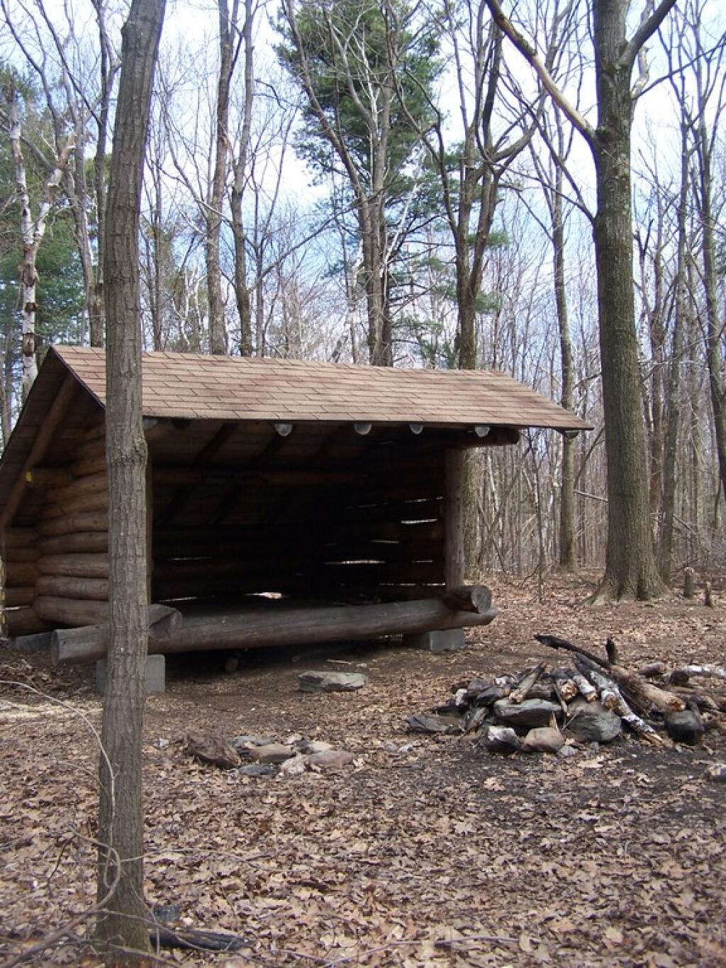
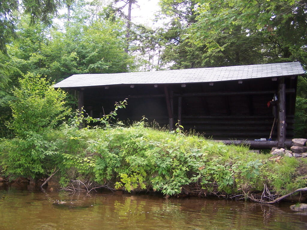
Moose River Plains – The state’s largest wilderness drive-to camping area, with over 150 campsites spread out over 35 miles of dirt road.
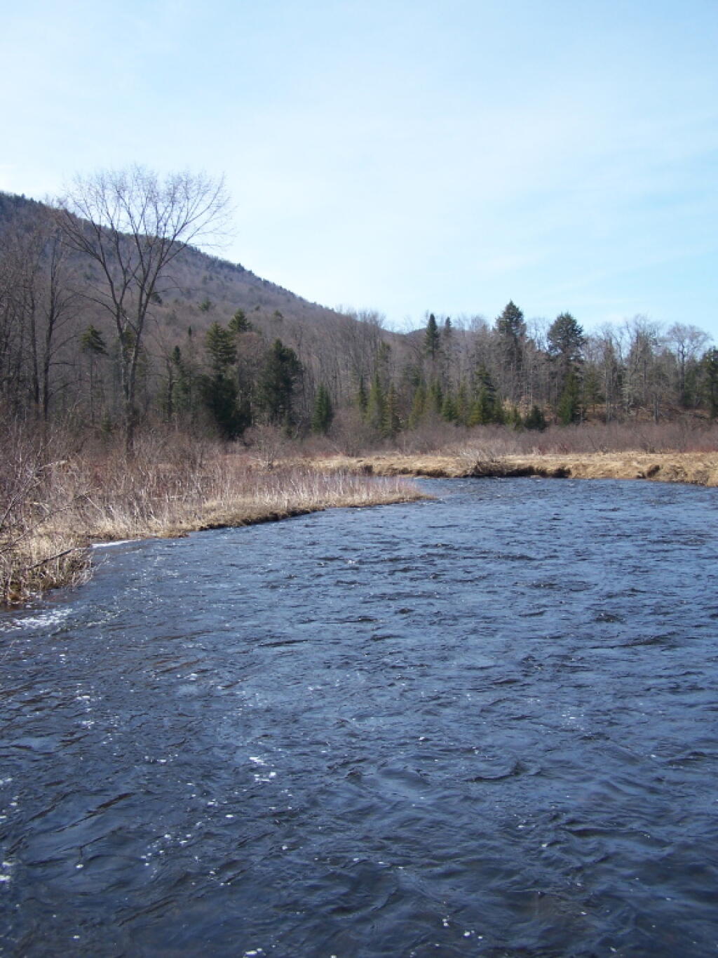
Northwood Club Road – In Minerva, this road crosses the Boreas River and has several roadside campsites, and passes by Huntley Pond, the NL Tahawus Railroad (which can be hiked to the Boreas River at Hudson River), and the Blue Ledges on the Hudson trailhead. No cell service.
Vanderwhacker Road -Five or six campsites exist along Vanderwhacker Road, which can be muddy in the spring and icy in late autumn. Additional designates campsites exist near where NY 28N crosses the Vanderwhacker River. Near the trail to the Vanderwhacker Firetower, No cell service.
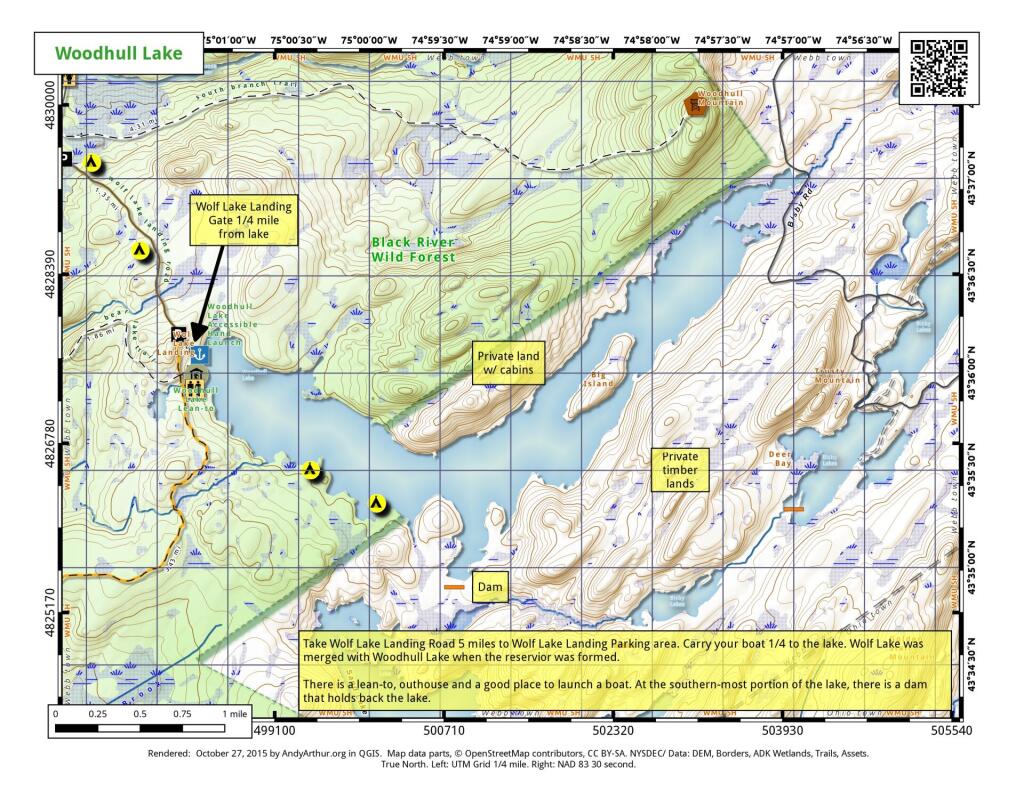
Woodhull Lake Reservoir – Off of NY 28 in McKeevers, about 10 miles south of Old Forge. Not only is this beautiful reservoir to paddle, there are some campsites along the shore, with drive-to campsites along Wolf Lake Landing Road which leads to it. Part of Wolf Lake Landing Road is erroded, but other parts are fresh stone-dust. It’s remote wilderness but there good cell service in mcuh of the area.