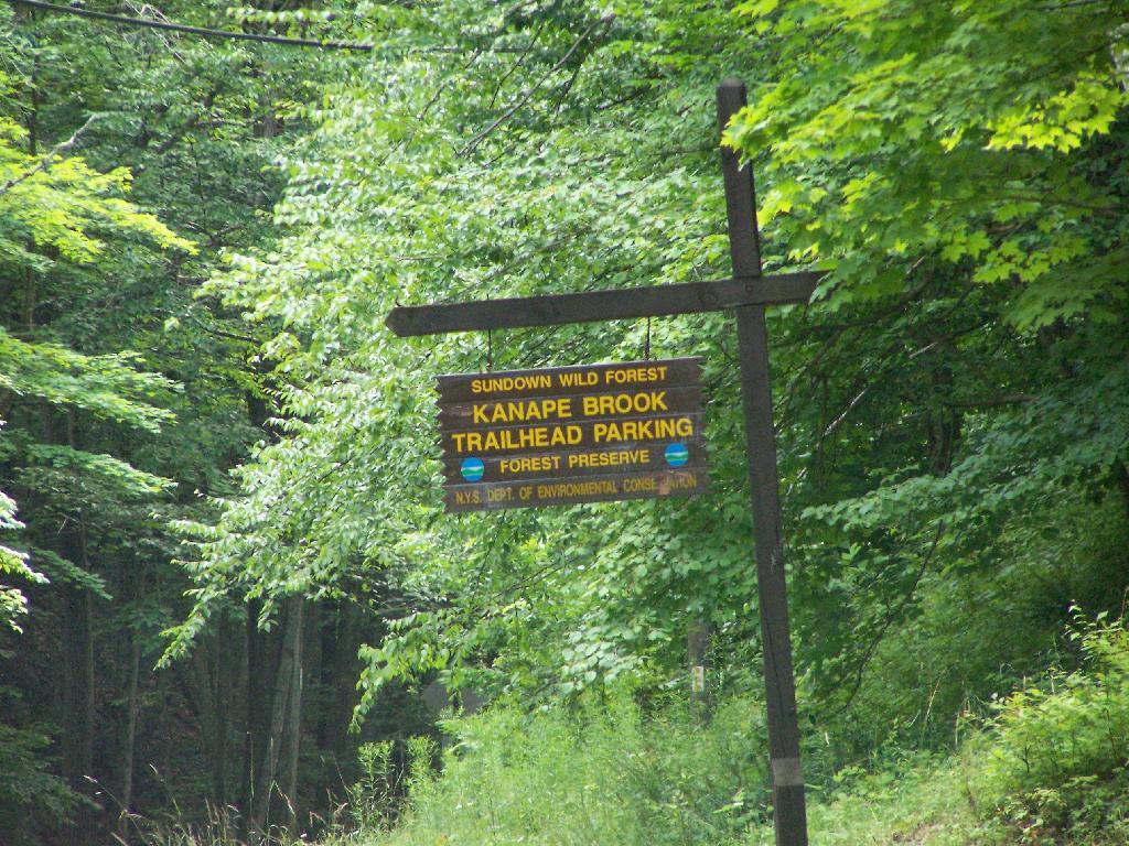
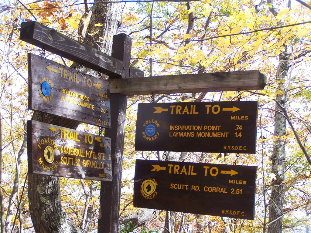
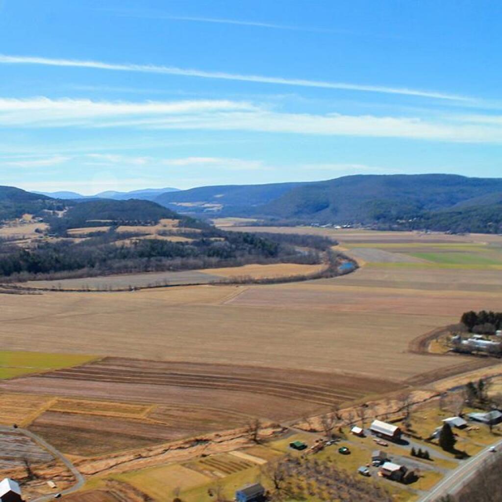
Below is a listing of DEC parking areas in the Catskill Park with coordinates and addresses, nearby trails and the roads they are located on.
| Trail | Road | Name | Notes | Street | City | St | ZIP | Latitude | Longitude |
| Ashokan High Point | Watson Hollow Road | Kanape Valley Parking Lot | 826 Watson Hollow Rd | West Shokan | NY | 12494 | 41.9357923141228 | -74.3281141901214 | |
| Beaverkill Road | Beaverkill Road | Beaverkill Road Parking Lot | 2795 Beaverkill Rd | Livingston Manor | NY | 12758 | 42.0117166110155 | -74.6223767934834 | |
| Beaverkill Road | Turnwood Road | Beaverkill Road Parking Lot | 2952 Beaverkill Rd | Livingston Manor | NY | 12758 | 42.0233290355646 | -74.5995306115641 | |
| Becker Hollow Trail | Lane Road | Becker Hollow Parking Lot | 6 Vehicle Capacity | 3940 Route 214 | Elka Park | NY | 12427 | 42.1816084527769 | -74.1969812784753 |
| Bengle Hill Trail | Peekamoose Road | Eastern Upper Field Parking Lot | 359 Peekamoose Rd | Grahamsville | NY | 12740 | 41.9166423616552 | -74.4377863112221 | |
| Bengle Hill Trail | Peekamoose Road | Lower Field Parking Lot | 194 Peekamoose Rd | Grahamsville | NY | 12740 | 41.9101942400042 | -74.452852499381 | |
| Bengle Hill Trail | Peekamoose Road | Middle Field Parking Lot | 304 Peekamoose Rd | Grahamsville | NY | 12740 | 41.9158997405029 | -74.443422031256 | |
| Bengle Hill Trail | Peekamoose Road | North Middle Field Parking Lot | 304 Peekamoose Rd | Grahamsville | NY | 12740 | 41.9164180048779 | -74.4416441135141 | |
| Bengle Hill Trail | Peekamoose Road | Trailer Feild Parking Lot | 359 Peekamoose Rd | Grahamsville | NY | 12740 | 41.9162603251141 | -74.4346555497984 | |
| Bengle Hill Trail | Peekamoose Road | Western Upper Field | 359 Peekamoose Rd | Grahamsville | NY | 12740 | 41.9169982073948 | -74.4396463051141 | |
| Big Pond – Alder Lake | Barkaboom Road | Barkaboom Road Parking Lot | Located On Barkaboom Road, 6 Cars | 288 Barkaboom Rd | Andes | NY | 13731 | 42.0426860004001 | -74.7267519998891 |
| Big Pond – Alder Lake | Cross Mountain Road | Alder Lake Parking Lot | 2 Cross Mountain Rd | Livingston Manor | NY | 12758 | 42.0497953211373 | -74.6827571604492 | |
| Black Dome Trail | Big Hollow Road | Big Hollow Road Parking Lot | 7 Vehicle Capacity | 947 Route 56 | Maplecrest | NY | 12454 | 42.2889033425096 | -74.1151262941519 |
| Campbell Mountain Trail | Cat Hollow Road | Route 206 Parking Lot | 5 Vehicle Capacity | 1611 County Road 7 | Roscoe | NY | 12776 | 42.051659649187 | -74.9147231839428 |
| Cic – Esopus Trail | State Route 28 | Parking Area For Esopus Creek Fishing Access | Parking Area For Esopus Creek Fishing Access – Cic | 5067 Route 28 | Mount Tremper | NY | 12457 | 42.0254799892217 | -74.2717292519349 |
| Cic Hill Trail | Wittenberg Road | Wittenberg Road Parking Lot | 1298 Wittenberg Rd | Mount Tremper | NY | 12457 | 42.0279684988885 | -74.2620571929729 | |
| Colgate Lake Trail To Dutcher Notch | Colgate Road | Colgate Lake Lower Parking Lot | 50 Vehicle Capacity | 525 Colgate Rd | East Jewett | NY | 12424 | 42.2384696568264 | -74.1233979344461 |
| Colgate Lake Trail To Dutcher Notch | Colgate Road | Colgate Lake Parking Lot | 2 Vehicle Capacity | 524 Colgate Rd | East Jewett | NY | 12424 | 42.2385040003097 | -74.1206960003026 |
| Colgate Lake Trail To Dutcher Notch | Colgate Road | Colgate Lake Trail Parking Lot | 8 Vehicle Capacity | 653 Colgate Rd | East Jewett | NY | 12424 | 42.2384599994304 | -74.1163269993959 |
| Condon Hollow Rd. | Condon Hollow Road | Condon Hollow Road Parking Lot | 3 Vehicle Capacity | 139 Condon Hollow Rd | West Kill | NY | 12492 | 42.2161010059593 | -74.4163349850283 |
| Condon Hollow Rd. | Elk Creek Road | Elk Creek Road Parking Lot | 5 Vehicle Capacity | 734 Elk Creek Rd | Fleischmanns | NY | 12430 | 42.1996047835286 | -74.4451315908425 |
| Condon Hollow Rd. | South Beech Ridge Road | Beech Road Parking Lot | 4 Vehicle Capacity | 291 S Beech Ridge Rd | West Kill | NY | 12492 | 42.2139020709257 | -74.4012095700882 |
| Condon Hollow Rd. | State Highway 42 | Rte 42 Parking Lot | 3 Vehicle Capacity | 1088 Route 42 | Shandaken | NY | 12480 | 42.1851525975488 | -74.4149115068685 |
| Denman Mountain Snowmobile Trail | Glade Hill Road | Denman Parking Lot | 327 Glade Hill Rd | Grahamsville | NY | 12740 | 41.8853341886314 | -74.5320280123605 | |
| Denman Mountain Snowmobile Trail | Moore Hill Road | Hogs Roack Plot Parking Lot | 578 Alpha Rd | Grahamsville | NY | 12740 | 41.9003387815796 | -74.5274487605523 | |
| Devil’s Path | Broadstreet Hollow Road | Broadstreer Hollow Parking Lot | 2 Vehicle Capacity | 619 Broadstreet Hollow Rd | Shandaken | NY | 12480 | 42.1394450770105 | -74.3308357356817 |
| Devil’s Path | Spruceton Road | Spruceton Road Parking Lot | 5 Vehicle Capacity | 1518 Spruceton Rd | West Kill | NY | 12492 | 42.1920191641918 | -74.3238474073796 |
| Devil’s Path | Prediger Road | Prediger Road | 75 Prediger Rd | Elka Park | NY | 12427 | 42.1338909995054 | -74.1042720006852 | |
| Diamond Notch Trail | Diamond Notch Road | South Diamond Notch Parking Lot | 2 Vehicle Capacity | 508 Diamond Notch Rd | West Kill | NY | 12492 | 42.147861770123 | -74.2646596008456 |
| Diamond Notch Trail | Spruceton Road | Diamond Notch Parking Lot | 8 Vehicle Capacity | 2778 Spruceton Rd | West Kill | NY | 12492 | 42.1823740001994 | -74.2695430002389 |
| Dry Brook Ridge Trail | Mill Brook Road | Dry Brook Ridge Parking Lot | 12 Balsam Mountain Camp Rd | Margaretville | NY | 12455 | 42.0715022570921 | -74.5738756337513 | |
| Dry Brook Ridge Trail | South Side Spur | North End Of Dry Brook Ridge Parking Lot | 301 Southside Spur | Margaretville | NY | 12455 | 42.1446292458628 | -74.649333317932 | |
| Elm Ridge Trail | Peck Road | Peck Road Parking Lot | 10 Vehicle Capacity | 189 Peck Rd | Maplecrest | NY | 12454 | 42.2965789997488 | -74.1693680002929 |
| Fluggertown Road Long Pond Trail | Fluggertown Road | Flugertown Road Parking Lot | 191 Flugertown Rd | Livingston Manor | NY | 12758 | 41.9347657909639 | -74.649696950272 | |
| Flynn Trail | Mongaup Road | Mongaup Road Parking Lot | 1 Beech Mountain Rd | Livingston Manor | NY | 12758 | 41.9467974587868 | -74.7052771774711 | |
| Giant Ledge-Panther Mountian-Fox Hollow Trail | Fox Hollow Road | Fox Hollow Road Parking Lot | 67 Mountain Dr | Shandaken | NY | 12480 | 42.1008382907335 | -74.3904559601097 | |
| Giant Ledge-Panther Mountian-Fox Hollow Trail | Peck Hollow Road | Peck Hollow Road Parking Lot | 254 Peck Hollow Rd | Shandaken | NY | 12480 | 42.1357649784827 | -74.3712920364471 | |
| Giant Ledge-Panther Mountian-Fox Hollow Trail | Peck Hollow Road | Esopus Creek Fishing Access (Upper) | Gravel | 7019 Route 28 | Pheonicia | NY | 12464 | 42.1065553340012 | -74.3519924442835 |
| Giggle Hollow Trail | NY 23 – Belleayr | Belleayre Day Use Parking Lot | 33 Friendship Manor Rd | Pine Hill | NY | 12465 | 42.1256810090987 | -74.4731178408634 | |
| Harding Road Spur Trail | Whites Road | Whites Road Parking Lot | 4 Vehicle Capacity | 274 White Rd | Palenville | NY | 12463 | 42.1823951680298 | -74.0261906353256 |
| Harding Road Trail | Harding Road | Harding Road Parking Lot | 5 Vehicle Capacity | 3525 Route 23A | Palenville | NY | 12463 | 42.1762358120255 | -74.0304949714876 |
| Huckleberry North Trail | Hill Road | Hill Road Parking Lot | 4 Vehicle Capacity | 1209 Hill Rd | Margaretville | NY | 12455 | 42.1166129796449 | -74.6486105632054 |
| Huckleberry North Trail | Huckleberry Brook Spur Road | Huckleberry Brook Road Parking Lot | 6 Vehicle Capacity | 1613 Huckleberry Brook Rd | Margaretville | NY | 12455 | 42.1130238724914 | -74.6515523618233 |
| Huckleberry South Trail | Huckleberry Brook Spur Road | Huckleberry Road Parking Lot | 5 Vehicle Capacity | 1073 Huckleberry Brook Rd | Margaretville | NY | 12455 | 42.1152546105706 | -74.6636037740616 |
| Huckleberry South Trail | Hull Road | Ploutz Road | 4 Vehicle Capacity | 1634 Ploutz Rd | Margaretville | NY | 12455 | 42.0938719675255 | -74.6204457323272 |
| Huggins Lake Trail | Berry Brook Road | Huggins Lake Road Parking Lot | 4 Vehicle Capacity | 2414 Holiday And Berry Brook Rd | Roscoe | NY | 12776 | 42.0157959909969 | -74.8436914198853 |
| Jockey Hill Bicycle Trail | Wood Road | Wood Road Parking Lot | 334 Woods Rd | Kingston | NY | 12401 | 41.9777439980953 | -74.0501113306995 | |
| Kaaterskill Falls Trail | State Highway 23a | Molly Smith Parking Lot | Dot Facility, 20 Vehicles | 4729 Route 23A | Elka Park | NY | 12427 | 42.1898508772368 | -74.074111945438 |
| Kaaterskill Rail Trail | Laurel House Rd | Laurel House Rd | 103 Laurel House Rd | Tannersville | NY | 12485 | 42.1956250050266 | -74.063093393786 | |
| Kelly Hollow Long Loop Trail | Mill Brook Road | East Kelly Hollow Parking Lot | 5163 Mill Brook Rd | Margaretville | NY | 12455 | 42.078800277463 | -74.6497556922038 | |
| Kelly Hollow Long Loop Trail | Mill Brook Road | West Kelly Hollow Parking Lot | 5163 Mill Brook Rd | Margaretville | NY | 12455 | 42.0795848697519 | -74.6545040693769 | |
| Long Path | Steenburg Road | Steenburgh Road | 2425 Platte Clove Rd | Elka Park | NY | 12427 | 42.1337889994516 | -74.0819709994867 | |
| Long Path | Route 23 | Route 23 Parking Lot | 20 Vehicle Capacity | 3 Cross Rd | Windham | NY | 12496 | 42.312706999584 | -74.1904309994766 |
| Long Pond South Loop | Willowemock Road | Wild Meadow Road Parking Lot | 136 Round Pond Rd | Claryville | NY | 12725 | 41.9435338737706 | -74.5864488816452 | |
| Lost Clove Trail | Lost Clove Road | Lost Clove Parking Lot | 343 Lost Clove Rd | Big Indian | NY | 12410 | 42.1054379266455 | -74.4700849794812 | |
| Mary Smith Trail | Holliday Brook Road | Holiday And Berry Brook Road Parking Lot | 5 Vehicle Capacity | 3851 Holiday And Berry Brook Rd | Roscoe | NY | 12776 | 42.0386999995498 | -74.8473909994493 |
| Mckinley Hollow Trail | Mc Kinley Hollow Road | Mckinly Hollow Parking Lot | 200 McKinley Hollow Rd | Big Indian | NY | 12410 | 42.0704132895809 | -74.4740296153462 | |
| Mckinley Hollow Trail | Rider Hollow Road | Rider Hollow Parking Lot | 12 Warren Todd Subdivision Dr | Arkville | NY | 12406 | 42.1018368545182 | -74.5170339246663 | |
| Mckinley Hollow Trail | Burnham Hollow Road | Burnham Hollow Parking Lot | 17 Sagmore Trl | Big Indian | NY | 12410 | 42.05564157218 | -74.4669789486585 | |
| Middle Mountain Trail | Mary Smith Hill Road | Mary Smith Hill Road Parking Lot | 3 Vehicle Capacity | 865 Mary Smith Hill Rd | Andes | NY | 13731 | 42.0401290003224 | -74.8089319993063 |
| Mink Hollow Trail | Mink Hollow Road | Lake Hill | 599 Mink Hollow Rd | Bearsville | NY | 12448 | 42.1051314008054 | -74.1735651990356 | |
| Mount Pleasant-Romer Mountain | State Highway 28 | Sawmill Lot | 50×50 Parking Area – Trailless | 6331 Route 28 | Phoenicia | NY | 12464 | 42.1008585056075 | -74.3445327399439 |
| Mud Pond Trail | County Road 179a | Old Rte 17 Fishing Access | 6 Vehicle Capacity | 6175 State Route 17 W | Roscoe | NY | 12776 | 41.9497668355721 | -74.9281906252666 |
| Mud Pond Trail | Horton Brook Road | Little Fuller Brook Parking Lot | 6 Vehicle Capacity | 845 Horton Brook Rd | Roscoe | NY | 12776 | 42.0159481159029 | -74.9790550095988 |
| Onteora Lake Parking Access | State Highway 28 | Onteora Lake Trailhead Upper Lot | 881 Route 28 | Kingston | NY | 12401 | 41.9807660434687 | -74.0853059041223 | |
| Onteora Lake Yellow Tral | NY 23 | Onteora Lake Parking | 960 Route 28 | Kingston | NY | 12401 | 41.9840941553893 | -74.0827910535657 | |
| Overlook Spur Trail Extension | Macdaniiel Road | Meads Meadow Parking Area | 452 MacDaniel Rd | Bearsville | NY | 12409 | 42.0756312690235 | -74.1276188121255 | |
| Overlook Trail | Meads Mountain Road | Overlook Mountain Trailhead | 334 Meads Mountain Rd | Woodstock | NY | 12498 | 42.0710794980857 | -74.1224765106456 | |
| Peekamoose-Table Trail | Peekamoose Road | Peekamoose Road Parking Lot | 415 Peekamoose Rd | Grahamsville | NY | 12740 | 41.9233895882109 | -74.4128616227944 | |
| Peekamoose-Table Trail | Peekamoose Road | Peekamose Mountian Trail Head Parking Lot | 415 Peekamoose Rd | Grahamsville | NY | 12740 | 41.9149365156904 | -74.4289858455429 | |
| Pelnor Hollow Trail | Beaver Kill Road | Waneta Lake Parking Lot | 732 Beaverkill Rd | Livingston Manor | NY | 12758 | 41.9676202925977 | -74.8292314401778 | |
| Phoenicia East Branch Trail | Denning Road | Denning Road Parking Lot | 3381 Denning Rd | Claryville | NY | 12725 | 41.9690314347788 | -74.4486958819482 | |
| Phoenicia East Branch Trail | Oliverea-Slide Mountain Road | Oliverea Road North Parking Lot | 1453 Oliverea Rd | Big Indian | NY | 12410 | 42.0265659167754 | -74.4038665935078 | |
| Phoenicia East Branch Trail | Oliverea-Slide Mountain Road | Oliverea Road South Parking Lot | 19 Shandaken Rod Gun Clb | Big Indian | NY | 12410 | 42.0078280894865 | -74.4268762683237 | |
| Phoenicia Trail | Plank Road | Tremper Mountain Parking Area | Gravel Lot | 5636 Route 28 | Phoenicia | NY | 12464 | 42.0705625579484 | -74.3024012416267 |
| Pine Hill West Branch Trail | West Branch Road | Biscuit Brook Parking Lot | 1886 Frost Valley Rd | Claryville | NY | 12725 | 41.990833872737 | -74.4845571593918 | |
| Powerline | Beech Ridge Road 1 | Vinegar Hill Parking Area | 1060 N Beech Ridge Rd | Prattsville | NY | 12468 | 42.2449000123037 | -74.4075985539776 | |
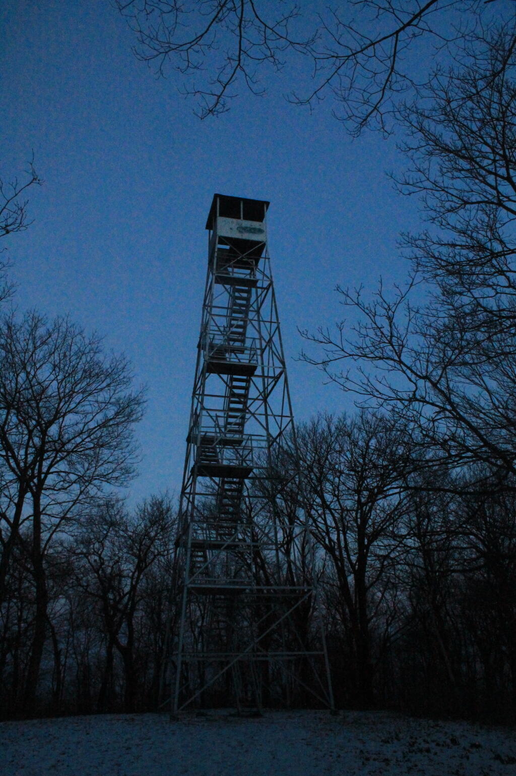
| Red Hill Fire Tower Trail | Red Hill Road | Red Hill Fire Tower Parking Lot | 129 Coons Rd | Claryville | NY | 12725 | 41.9302938486155 | -74.5073498606472 | |
| Roaring Kill Trail | Dale Lane | Roaring Kill | 6 Vehicle Capacity | 155 Roaring Kill Rd | Elka Park | NY | 12427 | 42.1511360000949 | -74.1310779997324 |
| Rochester Hollow | Shaft Road | Shaft 6 Parking | 20 Vehicle Capacity | 73 Shaft Rd | Shandaken | NY | 12480 | 42.166173156258 | -74.4083342114093 |
| Rochester Hollow | Spisak Way | Rochester Hollow Parking Lot | 51 Matyas Rd | Big Indian | NY | 12410 | 42.1179698674129 | -74.4517651458059 | |
| Seager Big Indian Trail | Dry Brook Road | Seager Parking Lot | 5672 Dry Brook Rd | Arkville | NY | 12406 | 42.0578836653667 | -74.5396998623234 | |
| Spencer Road | Trails End Road | Trails End Parking Lot | 197 Trails End Rd | Kerhonkson | NY | 12446 | 41.8835868385135 | -74.3594081701432 | |
| Spruceton Trail | Spruceton Road | Spruceton Trail Parking Lot | 20 Vehicle Capacity | 2628 Spruceton Rd | West Kill | NY | 12492 | 42.1846329998217 | -74.2719879999707 |
| Touch-Me-Not-Trail | Barkaboom Road | Big Pond Parking Lot | Located Off Barkaboom Road, 6 Cars | 366 Barkaboom Rd | Andes | NY | 13731 | 42.0433679998314 | -74.7277000006876 |
| Touch-Me-Not-Trail | Beech Hill Road | Beech Hill Road Parking Lot | 3 Vehicle Capacity | 2054 Beech Hill Rd | Andes | NY | 13731 | 42.0506230001697 | -74.7789470006467 |
| Touch-Me-Not-Trail | Deerlick Brook Road | Deerlick Road Parking Lot | 3 Vehicle Capacity | 1553 Deerlick Brook Rd | Andes | NY | 13731 | 42.0814567992576 | -74.7365160981546 |
| Touch-Me-Not-Trail | Barkaboom Road | Forest Preserve Access Parking | East Of Barkaboom Road 3 Cars | 1954 Barkaboom Rd | Andes | NY | 13731 | 42.0655363440977 | -74.7284401046935 |
| Trout Pond Access Route | Russell Brook Road | Russell Brook Road Parking Lot | 10 Vehicle Capacity | 4348 Russell Brook Rd | Roscoe | NY | 12776 | 41.9943949997582 | -74.941432999876 |
| Trout Pond Trail | Campbell Brook Road | Campbell Brook Road Parking Lot | 4747 Campbell Brook Rd | Downsville | NY | 13755 | 42.0306374772623 | -74.9384473452279 | |
| Trout Pond Trail | Campbell Mountain Road | Campbell Mountain Road Parking Lot | 5 Vehicle Capacity | 3693 Campbell Mountain Rd | Downsville | NY | 13755 | 42.0433291750688 | -74.9358959381363 |
| Vernooy Kill Falls Snowmobile Trail | Dymond Road | Dymond Road Parking Lot | 498 Yeagerville Rd | Napanoch | NY | 12458 | 41.8792625226568 | -74.4012606035291 | |
| Vernooy Kill Falls Snowmobile Trail | Upper Cherrytown Road | Upper Cherry Town Road Trail Head Parking Lot | 559 Upper Cherrytown Rd | Kerhonkson | NY | 12446 | 41.8643822024537 | -74.3454535201223 | |
| Willow Trail | Abbey Road | Mount Toblas Parking Lot | 439 Abbey Rd | Mount Tremper | NY | 12457 | 42.0537752508176 | -74.2306894602594 | |
| Willow Trail | Jessup Road | Willow Trailhead Parking | 6 Vehicle Capacity | 218 Jessop Rd | Willow | NY | 12495 | 42.078213053797 | -74.2442314353898 |


 Bicycle Trails and “Blackie” My Mountain Bike


 Python and Pandas


 Politics

 The Earth


 Saving Money


 Mission Fifty, Smoking Grass & Being Healthier


 / Enjoying Life


