Search Results for: West River Road

Our Hike on the Threatened Road to Whitehouse

Our Hike on the Threatened Road to Whitehouse

"Susan Allen and I decided to travel the route to Whitehouse after witnessing the New York State Department of Environmental Conservation’s presentation to the Adirondack Park Agency of a management plan for the so-called β€œSilver Bay Wilderness” in 2005. The environmental agency proposed to eliminate the well-maintained town highway leading to Whitehouse, a ghost town in Wells that is situated at the end of West River Road on the beautiful West Branch of the Sacandaga River in Hamilton County. A popular camping and picnicking spot for visiting campers and hunters, as well as local people, Whitehouse is today distinguished by two old stone chimneys and two suspension footbridges. One of the bridges is a substantial two-span suspension crossing over the West Branch. Under the plan, a historic town cemetery with several gravestones dating from the nineteenth century would be made inaccessible."

"In addition to closing 0.7 miles of the town road, DEC has proposed to eliminate many of the pleasant, spacious camping spots dating from its precursor agency, known as the New York State Conservation Department, at least forty years ago, before the Adirondack Park Agency was created in 1973. The most spacious camping area is even older. The Town of Wells relies heavily on the summer and fall visits by tourists, campers, and hunters to the area. The camping opportunities on the State-owned land along the West River Road to historic Whitehouse and at that historical site are an important factor in the town’s economy."

"By cutting off vehicle access to the campsites, the historic site of Whitehouse, and the cemetery, the DEC would effectively foreclose the use of the camping areas as they have been enjoyed by generations of campers and hunters. In addition, DEC would be promoting the destruction of local cultural heritage and violating the New York State cemetery law by preventing the maintenance of an access road required by law. Finally, DEC would be destroying local historic vernacular architecture and civil engineering works by carrying out its plan to allow the bridges and chimneys to fall to ruin or deliberately demolishing them. These effects of DEC’s gradual, but radical, reworking of its policies within the Adirondack Forest Preserve are typical of the extremist viewpoint that holds sway in the agency."

Right Lane Driver

I choose to drive in the right lane on the expressway most of the time.

This is much different then my parents, who always suggested the safest and easiest place to drive on the road is the middle lane on those three lane highways. The right lane has a lot of advantages to the middle lane, including that traffic tends to go slower and drivers are less aggressive in the right lane. But there is another big advantage too – an emergency escape should something happen right in front of your car.

In drivers ed class, they always teach you to plan to have an escape route should something happen immediately in front your vehicle and you lack time to stop. The right lane on most interstates has the shoulder, which in an emergency can be used for stopping should something cut you off or traffic stop right away, and you don’t have time to stop. The shoulder provides a margin of safety that is unavailable in the middle lane, especially if you have cars on both sides of you in the middle lane.

Granted, the right lane isn’t perfect. People are slowing down in the right lane to enter and exit the expressway. Sometimes you have very heavy traffic getting on a ramp, so you best move over to center lane to let traffic on. In the right lane, you have to move over when there is a broke down car or a policeman, which can inconvenient to have to switch lanes. Not to mention, all of the slowest vehicles drive in the right lane, which means you have to move over to center lane to pass.

Driving in the right lane does mean you have to change lanes from time to time and be aware of slow traffic. But the pace is so much more leisurely, and you rarely get traffic on your ass in the slow lane. People just expect you to drive slow. To me, the right lane is the place to be on the highway, whenever traffic allows it.

I decided to go on a little road trip

I really haven’t gotten much out of the Capital Region in recent months bar the December trip to Kingston and Mount Tremper, along with the January 1st trip to North-South Lake, and my mini-trip to Schoharie County. It was cold out and I really wanted to get out, and not spend another boring Saturday night at home. Gas is cheap, figured I’d take a trip before it gets really expensive again.

I decided to take US 20 out to Pittsfield MA and then head east on MA 9 towards Northampton. Never been over that road, and I knew once I got out of Pittsfield I would loose the traffic and it would be quite scenic.

Rural Massachusetts state roads kind of sucks. They are narrow, windy, and steep. But the scenery is well worth it, especially MA 9 as it winds through various mountains and state forests. I kind of wanted to see the Pioneer Valley as it had been years since I had been out that way.

I forgot how built up the Pioneer Valley really is. I thought I’d be out in the sticks in farm country for most of the trip but Northampton and towns North of it in the Pioneer Valley are fairly populous suburbs of the Springfield MA metropolitan area.

It’s not to say there aren’t farms in the Pioneer Valley, it’s just there more smaller crop farms that were formerly tobacco farms. Still many of the tobacco drying barns still exist – they’re pretty neat, large barns. But I was envisioning Preble NY with it’s large dairies, not a lot of sprawl and only a little open land.

Got on MA 116 heading towards Ashland and Conway. What a pokey little road, that literally is an unimproved except for blacktop road. They certainly didn’t remove any curves from it. The gorges and streams it followed were beautiful, wild country but like most of New England, there were plenty of uppity little but bustling villages. Outside of the villages there really was nothing.

I think in the whole time I was in Massachusetts, I saw one operating dairy farm and maybe one other farm that had a few beef cows. Just not a lot of agriculture going on in Western Massachusetts. I guess the soil is too poor to grow field crops like New York.

Western Mass also seemed a lot more populous, although the population was a lot more concentrated than upstate, at least away from the Erie Canal and Hudson River.

It started to get dark as I reached Buckland, which is as podunky as it sounds. Which sucked, as I ended up driving the Mohawk Trail from the Pioneer Valley outskirts to North Adams, which is basically a blacktop trail through the mountains. The headlights worked fine except they were a bit dim but still blinded folks. Silly headlights on my lifted truck.

The Hairpin Overlook was pretty after dark. As was the Taconic Trail Overlook, although the snow was deep when I went for a short hike up there. Couldn’t see the Empire Plaza buildings from there, but it was pretty.

A long trip but pretty. I like getting out and seeing new places in the wild country – the shacks, the mountains, the farms, and everything else not so perfectly dominated by man.

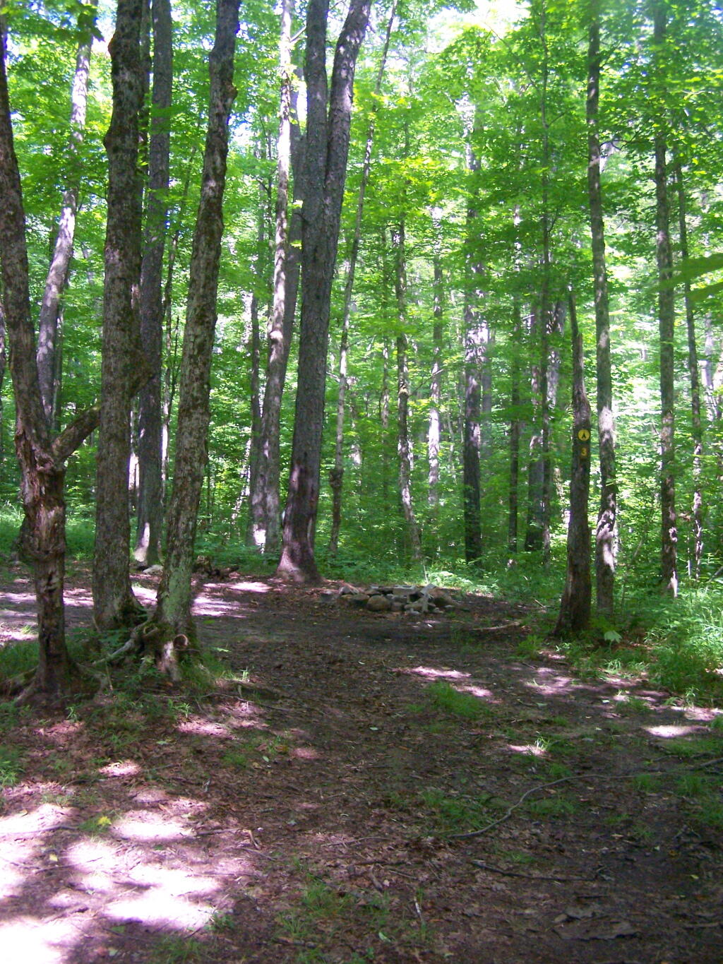
Smith Road Campsite 1

There are three major dead-end roads in the Independence River Wild Forest, which each have 10 campsites on them. This review focuses Smith Road Campsite 1, which is the nearest campsite to the end of Smith Road, near where it intersects Number 4 Road. This campsite is located where the old ranger’s cabin was located, and there is a trail in the woods, to the location of the long-removed Number 4 Firetower.

Rankings: Campsites are ranked from 0 to 10, based on the described attributes.

Overall 8 Lack of Enforcement Presence 6
Scenic Beauty 5 Facilities 7
Cleanliness 9 On-Site Attractions 2
Privacy 8 Nearby Attractions 5
Layout 10 Cellphone and Data Services 8

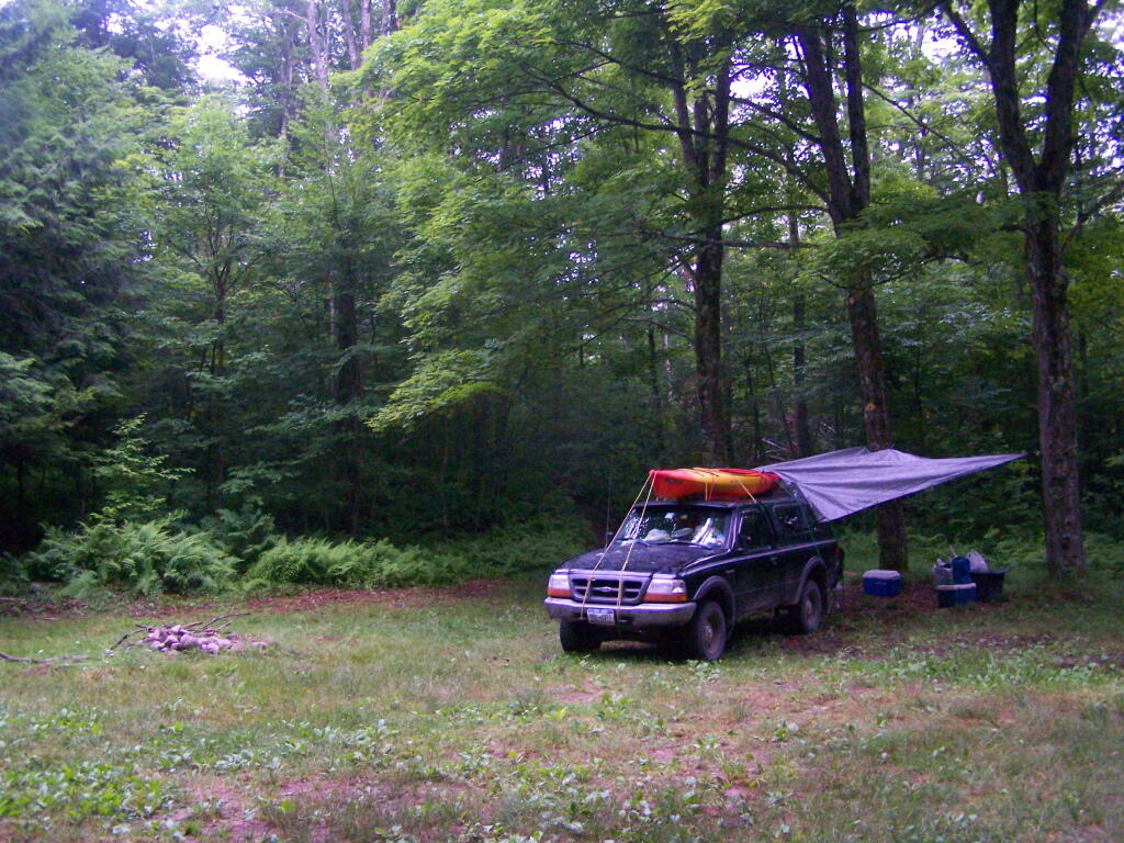
Rainy Morning

Location:
  • Roughly 1/8th mile south of Number Four Road at Smith Road, Number Four, NY
  • Roughly 18 miles east of Lowville
  • N 43.85489 W 75.19837
Cost:
  • No charge
  • 3-nights maximum stay at this site except by FREE camping permit for up to 2-weeks which can be obtained from Forest Ranger John Scanlon at 315-376-3225, Cell: 315-542-4773 (more info).
Facilities:
  • 6 hardened gravel campsites.
  • Stone fire ring.
  • Open, grassy field.
  • No outhouses.
  • Good cellphone, modest 3G data service.
Vehicles:
  • Small trailer
  • Large trailer
  • Tent
Attractions on Site:
  • Former site of Number Four Firetower. The fire tower has been moved to the Lowville Demostration site.
Attractions Nearby:
  • Francis Lake (5 miles east on Stillwater Road)
  • Stillwater Lake (12 miles east on Stillwater Road)
  • Otter Creek Trail System – Equestrian, Off-Roading, Open Lands, Mountain Bike (20 mi south-east)
  • Lowville village (18 miles north west)
  • Lowville Demonstration Site (22 miles north west)
  • Tug Hill State Forest/The Gulf (45 miles north west)
Sanitation:
  • Water from Otter Creek – Boil before drinking or cooking
  • No outhouses – Dig hole in woods, burn toilet paper
  • Burn combustible garbage, take cans home for recycling
  • Make sure firepits and campsite are clean before leaving
Restrictions on Use:
  • 3-nights maximum stay at this site.
  • Except by FREE camping permit for up to 2-weeks which can be obtained from Forest Ranger John Scanlon at 315-376-3225, Cell: 315-542-4773 (more info).
  • Seasonal use road, the last 1/8 mile from Number Four Road.

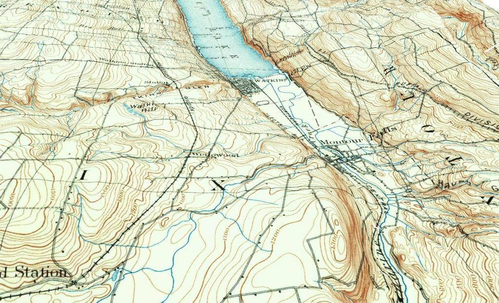
Watkins Glen - Montour Falls 1898

Roadside Campsites I’ve Camped in Northern Adirondacks

North West

Streeter Lake Road

  • Campsites are nice
  • Many campsites are close to road
  • Road is an old railroad bed
  • Streeter Lake and Mud Pond are nice paddling, but a little small and with beaver dams

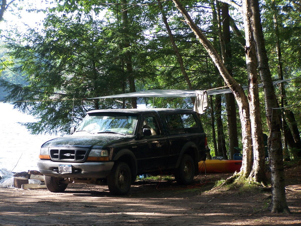
All Packed Up

North Central

Floodwood Road

  • Often crowded, hard to get a roadside campsite some nights
  • Campsites are clustered close together
  • High enforcement precence

Camping at Poliwog Pond

Jones Pond

  • Campsites are quite nice, but only 5 campsites and 3 tent sites
  • Road noise from nearby roads
  • Lake is larger then Mountain Pond
  • Nearby is the drive-in campsites along north-western portion of Rainbow Lake (not to be confused with Bucks Pond State Campground)

All Packed Up at Union Falls Campsite

Mountain Pond

  • Close to St Regis Canoe Area (10 miles south)
  • Quieter compared to busy canoe area
  • Located on an Old Routing of NY 30
  • Conviently located to Paul Smiths and NY 30 corridor

Getting Out and Stretch

North East

Union Falls Pond

  • A group of undesigned drive-in campsites along northeastern section of Union Falls Pond, shown on DEC maps
  • Across the way from a private campground
  • Union Falls Pond is large, can be choppy from the wind
  • Great views of Whiteface and other high peaks from the campsite.

Getting Out and Stretch

North-Central Central

Horsehoe Lake

  • Horsehoe Lake has several campsites along, as does the dirt road beyond it for a ways.
  • The best roadside campsites go fast on the lake, but you can always camp on the less desirable campsites, then check out Bog River Flow, and tent camp up there.

Campsite No 9

Adirondack Wild, Scenic and Recreational Rivers System

Today’s fodder is based on the text of the Adirondack Park State Land Master Plan that explains the Adirondack Scenic, Wild and Recreational Rivers System and the policies surrounding it quite well. — Andy

The Adirondack Park contains many rivers which, with their immediate environs, constitute an important and unusual resource. Classification of those portions of rivers that flow through state land is vital to the protection of existing free flowing streams. The classification system and the recommended guidelines specified below are designed to be consistent with and complementary to both the basic intent and structure of the legislation passed by the legislature in 1972 creating a wild, scenic and recreational rivers system on both state and private lands.

LED Driver built on perfboard as Arduino shield

Definitions

A wild river is a river or section of river that is free of diversions and impoundments, inaccessible to the general public except by water, foot or horse trail, and with a river area primitive in nature and free of any man-made development except foot bridges.

A scenic river is a river or section of river that is free of diversions or impoundments except for log dams, with limited road access and with a river area largely primitive and undeveloped, or that is partially or predominantly used for agriculture, forest management and other dispersed human activities that do not substantially interfere with public use and enjoyment of the river and its shore. A recreational river is a river or section of river that is readily accessible by road or railroad, that may have development in the river area and that may have undergone some diversion or impoundment in the past.
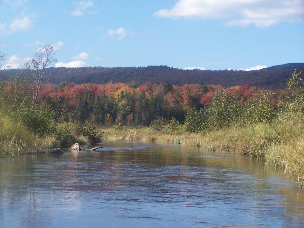
River Picks Up Speed As You End the Flow

Guidelines for Management and Use

Basic guidelines

1. No river or river area will be managed or used in a way that would be less restrictive in nature than the statutory requirements of the Wild, Scenic and Recreational Rivers Act, Article l5, title 27 of the Environmental Conservation Law, or than the guidelines for the management and use of the land classification within which the river area lies, but the river or river area may be administered in a more restrictive manner.

2. Rivers will be kept free of pollution and the water quality thereof kept sufficiently high to meet other management guidelines contained in this section.

3. No dam or other structure impeding the natural flow of a river will be constructed on a wild, scenic or recreational river, except for stream improvement structures for fisheries management purposes which are permissible on recreational and scenic rivers only.

4. The precise boundaries of the river area will be determined by the Department of Environmental Conservation, will be specified in the individual unit management plans for the river area or the areas, where the more restrictive guidelines of the particular area will apply) and with the following additional guidelines.

2. Access points to the river shore or crossings of the river by roads, fire truck trails or other trails open to motor vehicle use by the public or administrative personnel will normally be located at least two miles apart.

3. Other motor vehicle roads or trails in the river area will not be encouraged and, where permitted, will normally be kept at least 500 feet from the river shore and will be screened by vegetation or topography from view from the river itself.

4. The natural character of the river and its immediate shoreline will be preserved.

5. The following structures and improvements may be located so as to be visible from the river itself:

== fishing and waterway access sites;

== foot and horse trails and foot and horse trail bridges crossing the river; and,

== motor vehicle bridges crossing the river.

6. All other new, reconstructed or relocated conforming structures and improvements (other than individual lean-tos, primitive tent sites and pit privies which are governed by the regular guidelines of the master plan) will be located a minimum of 250 feet from the mean high water mark of the river and will in all cases be reasonably screened by vegetation or topography from view from the river itself.

7. Motorboat usage of scenic rivers will not normally be permitted but may be allowed by the Department of Environmental Conservation, where such use is already established, is consistent with the character of the river and river area, and will not result in any undue adverse impacts upon the natural resource quality of the area.

Recreational rivers

1. Recreational rivers and their river areas will be administered in accordance with the guidelines for management of wild forest areas (except where such rivers flow through wilderness, primitive or canoe areas, where the more restrictive guidelines of the particular area will apply) and with the following additional guidelines:

2. Where a recreational river flows through an intensive use area, structures, improvements and uses permitted in intensive use areas will be permitted, provided the scale and intensity of these intensive uses do not adversely affect the recreational character of the river and the river area.

3. The natural character of the river and its immediate shoreline will be preserved and enhanced.

4. The following structures and improvements may be located so as to be visible from the river itself:

== fishing and waterway access sites;

== docks;

== foot and horse trails and foot and horse trail bridges crossing the river;

== snowmobile trails, roads, and truck trails; and,

== motor vehicle bridges crossing the river.

5. All other new, reconstructed or relocated conforming structures and improvements (other than individual lean-tos and primitive tent sites which are governed by the regular guidelines of the master plan) will be located a minimum of 150 feet from the mean high water mark of the river and will in all cases be reasonably screened by vegetation or topography from view from the river itself.

6. Motorboat use of recreational rivers may be permitted, as determined by the Department of Environmental Conservation.
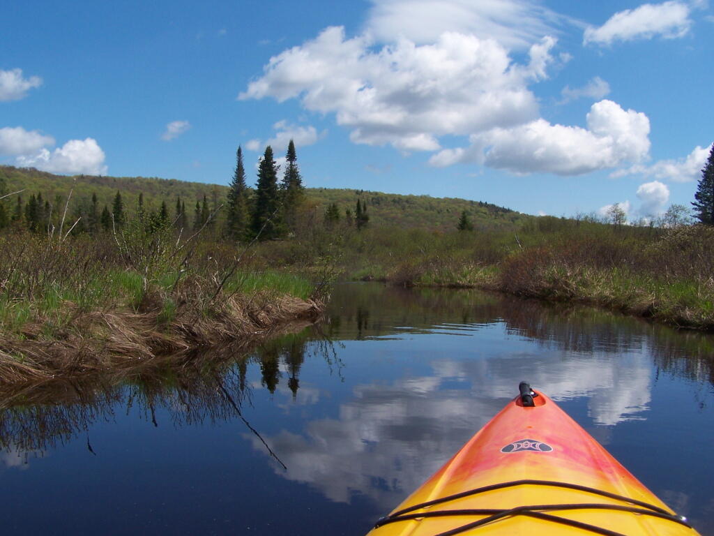
Cheney Pond Outlet

Designation of Wild, Scenic and Recreational Rivers

The application of the above definitions and criteria to rivers on state lands in the Park results in the current designation under this master plan of 155.1 miles of wild rivers, 511.3 miles of scenic rivers, and 539.5 miles of recreational rivers. A significant amount of private lands not covered by this master plan are included in these mileage figures. A brief description of these rivers and their classification is set forth in Chapter III.

River Wild Scenic Recreational
Ampersand Brook 8.6
Ausable — Main Branch 21.7
Ausable — East Branch 8.8 25.2
Ausable — West Branch 31.8
Black 6.8 5.8
Bog 6.2
Boreas 11.4
Bouquet 42.7
Bouquet — North Fork 5.9
Bouquet — South Fork 5.0
Blue Mountain Stream (Trib. of Middle Branch, Grasse River) 7.9
Cedar 13.5 13.0 10.4
Cold 14.5
Deer 5.7
East Canada Creek 19.3
Grasse — Middle Branch 12.9
Grasse — North Branch 25.4
Grasse — South Branch 36.1 4.2
Hudson 11.2 11.8 55.1
Independence 24.5
Indian (Trib. of Hudson River) 7.5
Indian (Trib. of Moose River — South Branch) 15.1
Jordan 15.7
Kunjamuk 7.1 9.1
Long Pond Outlet 16.3
Marion 4.4
Moose — Main Branch 15.0 11.0
Moose – North Branch 5.3 11.6
Moose — South Branch 33.6
Opalescent 10.4
Oswegatchie — Main Branch 14.9
Oswegatchie — Middle Branch 13.0 22.7
Oswegatchie — West Branch 7.2 6.3
Otter River 8.8
Ouluska Pass Brook 2.3
Piseco Outlet 3.8
Raquette 36.0 51.6
Red 8.0
Rock 6.4 1.3
Round Lake Outlet 2.4
St. Regis — East Branch 15.4 6.3
St. Regis — Main Branch 15.6 23.9
St. Regis — West Branch 31.5 5.5
Sacandaga — East Branch 11.3 12.6
Sacandaga — Main Branch 28.5
Sacandaga — West Branch 18.1 16.6
Salmon 11.6
Saranac 62.7
Schroon 63.9
West Canada Creek 7.4 17.1 9.1
West Canada Creek — South Branch 5.7 9.1
West Stony Creek 7.4 7.7
Total 148.4 487.2 545.6