Search Results for: West River Road

America’s Loneliest Roads, Mapped

America’s Loneliest Roads, Mapped

Apparently NY 812, Indian River Road up between the Tug Hill, St. Lawerence Flat Lands and Adirondack Hilltowns is New York's most lonely road. I've driven it before -- years ago -- but never spent much time up in that area, because I wasn't aware of what kind of camping opporunties exist in the Frank Jadwin State Forest and other nearby state lands. I should really get back up there. And yes, US 219 north of Thomas WV is beautiful, but I'd hardly call it lonely. PA 36 out of Punxsy, often very straight but hilly and remote coal country, would classify on my list of very lonely roads, although certainly not as flat as Western Penna.

Mastering the art of driving in West Virginia

I’m mastering the art of driving in West Virginia and parts of Pennsylvania:

  1. See that road with all the squiggly marks on the map? Avoid it.
  2. Always try to take valleys rather than go over mountains. It’s almost always quicker.
  3. Roads labeled xxx/x like 32/7. Just don’t drive them especially not downhill.
  4. Normally you want to drive with driver side wheel touching the yellow line. When you see a car approaching in the opposite direction, reduce speed look at your passenger side mirror and move the vehicle to 6″ of the ditch or in the few places guardrail exists. Continuously go back and forth between glancing at windshield and checking mirror for position. Depending on how wide the road is, you may have to come close to a stop. Don’t get too close to the drop off, the driver away from the drop off has most of the responsibility for letting you pass.
  5. Always select the lowest gear you think you will need prior to descending the hill. You shouldn’t be downshifting further as you go down the hill.

A New Road Trip

I had a perfect πŸ‘Œ road trip figured out until things changed. β˜”πŸ”₯

The rain got stronger in the forecast and the drought worse in West Viriginia πŸ’¦ — there is a fire ban in the Monongahela National Forest, making me think maybe I don’t want to camp in 40 degrees weather in October without a rip roaring fire πŸ”₯ even with the heater and some cold beer and something good cooking in the camp oven 🍻. Then I was thinking about starting vacation in Allegheny National Forest and taking US 219 maybe on Tuesday to Canaan Heights (even if it means a night or two camping without a fire) but that’s a long trip out of the way, although both Maryland High Point and Mount Davis (Highest Point in PA) are on that way. Some of the neat old coal towns are along that way too, always fun to poke around after hoping off US 219. ⛏

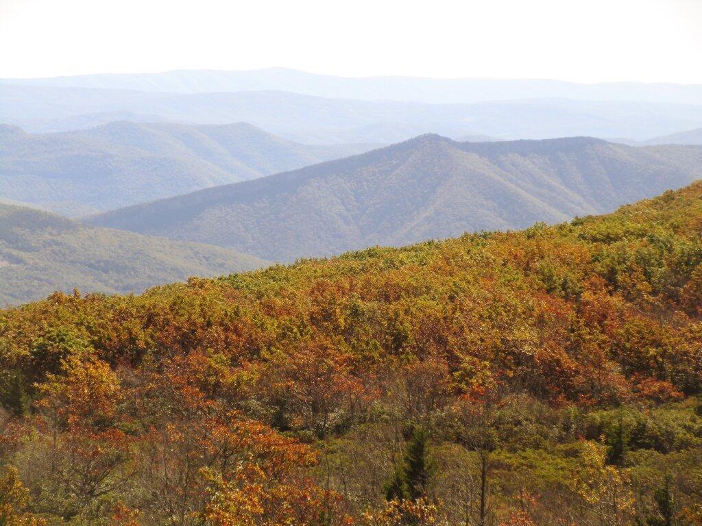
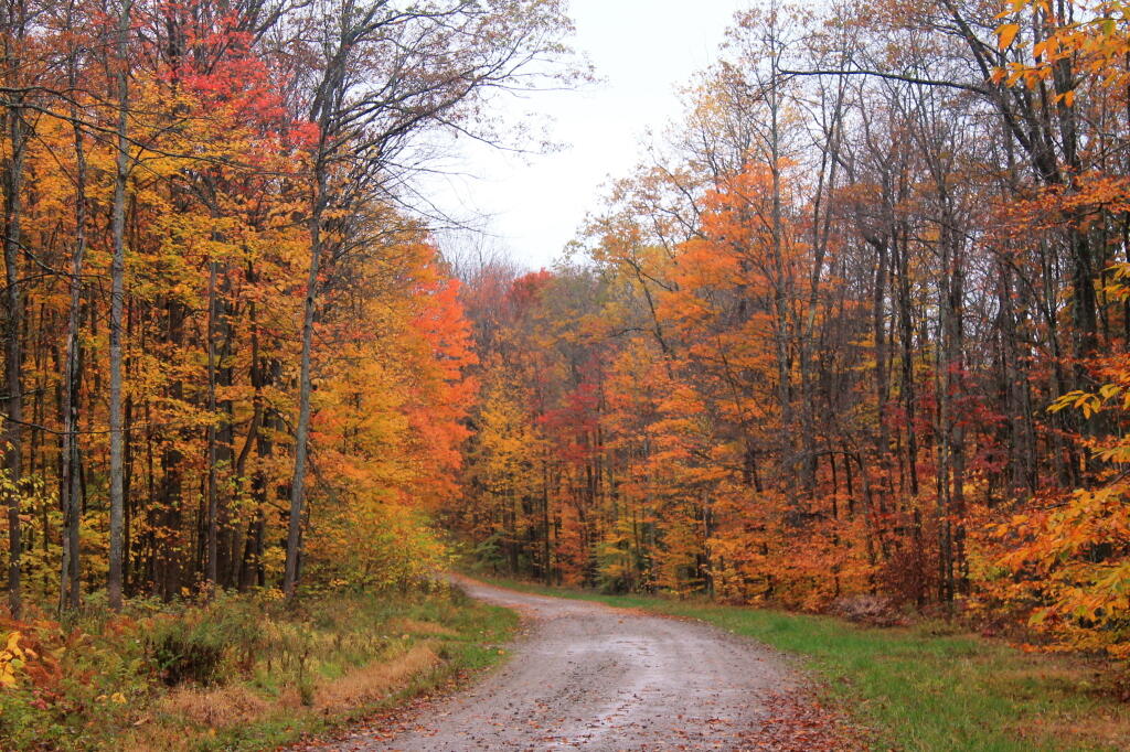
 Some Color Looking Off Dolly Sods

But I want to get down to West Virignia by Monday at the latest, as I want to drive down to the New River Gorge on Tuesday. πŸŒ‰Β So ain’t going to work necessarily well. So option 2 would be to first camp at County Bridge Campground in Pennsylvania, take Interstate 99 and US 220 and camp at Camp Run which is in the George Washington National Forest, which has had a little more rain and there is no campfire ban there.πŸ”₯🌧

Afternoon at Camp Run

But then it looks like Monday will be fairly wet, and I was a bit concerned about flooding on the road to Camp Run, as the campground is a ways above a Flood Control dam. Plus no radio or cellphone reception down there — so if I’mΒ  But now I don’t think it’s going to be quite as wet, so that’s the route I’ll take. Worse comes to worse, I might get stuck there a few extra days, but it’s unlikely. πŸ• It’s probably the shortest route, then on Monday or Tuesday, I’ll drive to New River Gorge, stay there one or probably two nights, then head back north. And heck, I might take US 219 and end my vacation in the Allegheny National Forest — and hit Mount Davis and Hoye Crest up that way.

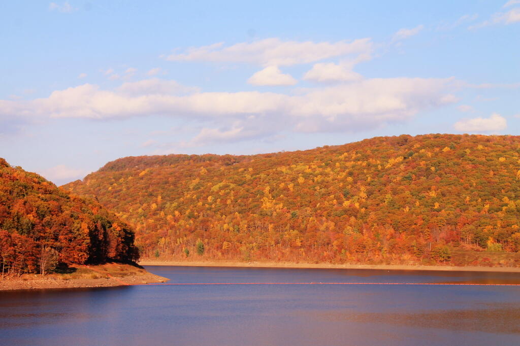
Big Bend From Kinzua Dam

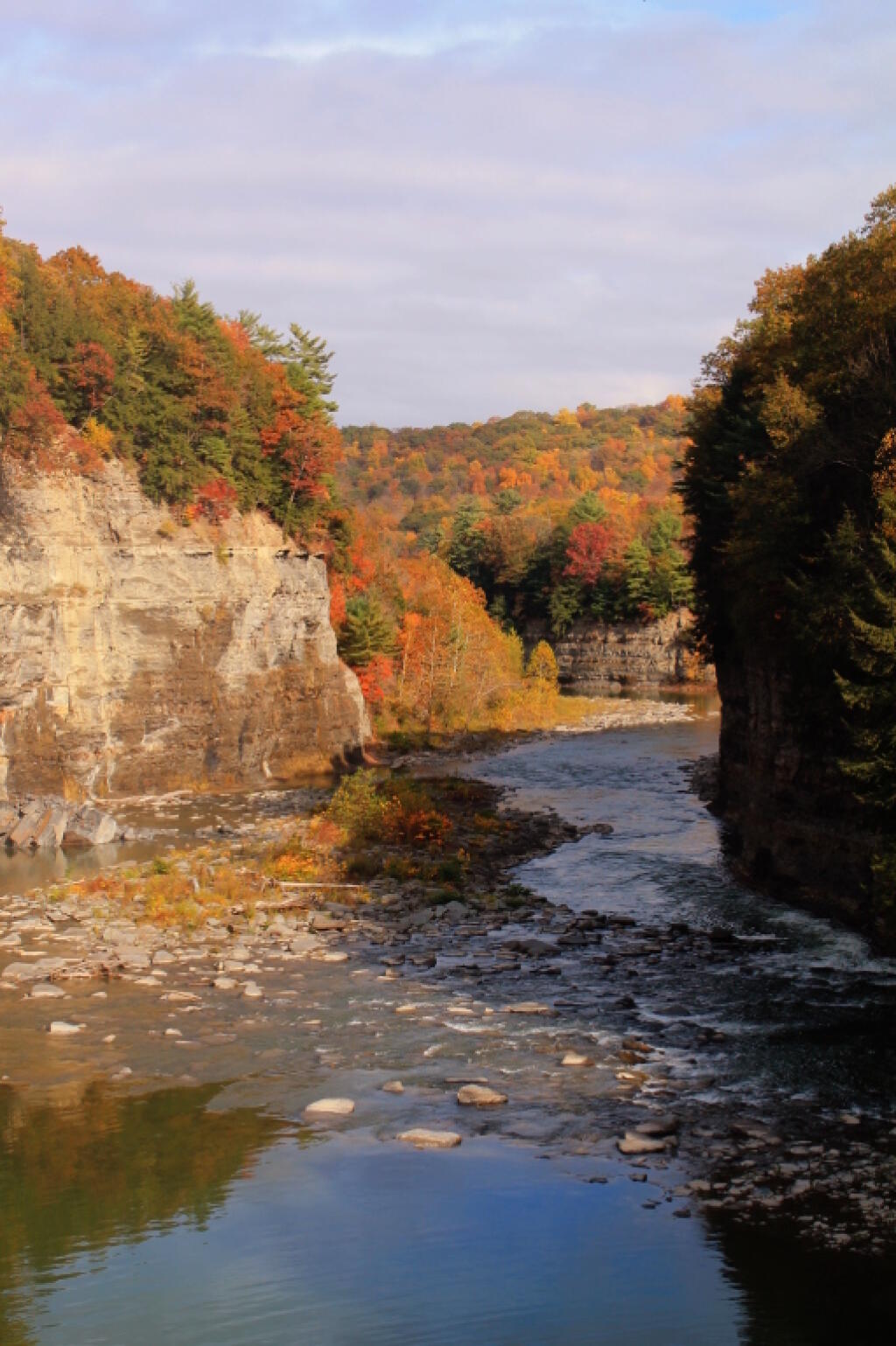
I don’t know, Β I think I will choose the Allegheny National Forest option to start out the week.🌲🌲 I’ve been there a lot but not in the autumn for a number of years. Then I could decide either to go to West Virginia via the US 219 or head north to New York. There might be very good color in Allegany and Cattaragaus County this week, and beautiful weather to boot. Small game hunting opportunities too. I wouldn’t mind a nice autumn hike back to Zoar Valley, Allegany State Park, Little Rock City, Letchworth State Park, and maybe even the Finger Lakes.

Photo.2013.10.15 16.23.12

Little Rock City Road

What to see and do in West Virginia

I was thinking πŸ’­ about some of the things I want to see and at my autumn West Virginia trip:

  • Probably once again drive down to Towanda Penna for the first and last night of the trip. There is a small Forestry Department rustic campground 🌲 that’s ten dollars a night and it will be largely empty this time of year.
  • From there I will head down to West Virginia via a combination of Interstate 99 and local roads when I get bored with the expressway πŸš™ and want to see the country, the mountains and the farms, 🚜 hop on the blue highways.
  • In West Virginia I’ll spend a couple of nights in the Cannan Heights Camping β›Ί. I want to visit the Cannan Wildlife Refuge and so some birding 🐦 and also Blackwater Falls.
  • I want to drive up Spruce Mountain πŸ—» the highest peak in West Virginia and maybe camp at those rustic sites outside of Job.
  • I want to spend at least two night or maybe roadside camping outside of Dolly Sods 🚢 and get a day hiking in at Dolly Sods.
  • I want to visit the New River Gorge and drive both over the bridge and do the Gorge Road. πŸŒ‰
  • I want to visit the Mount Storm Coal Plant 🏭 and dip my feet into the always warm from thermal pollution Mount Storm Reservoir and drive part of Cooridor H.
  • I want to spend some time, maybe two nights at Camp Run Campground, β›Ί located in a wash of Shenandoah Mountain and poke some more around the Sweedlin Valley.

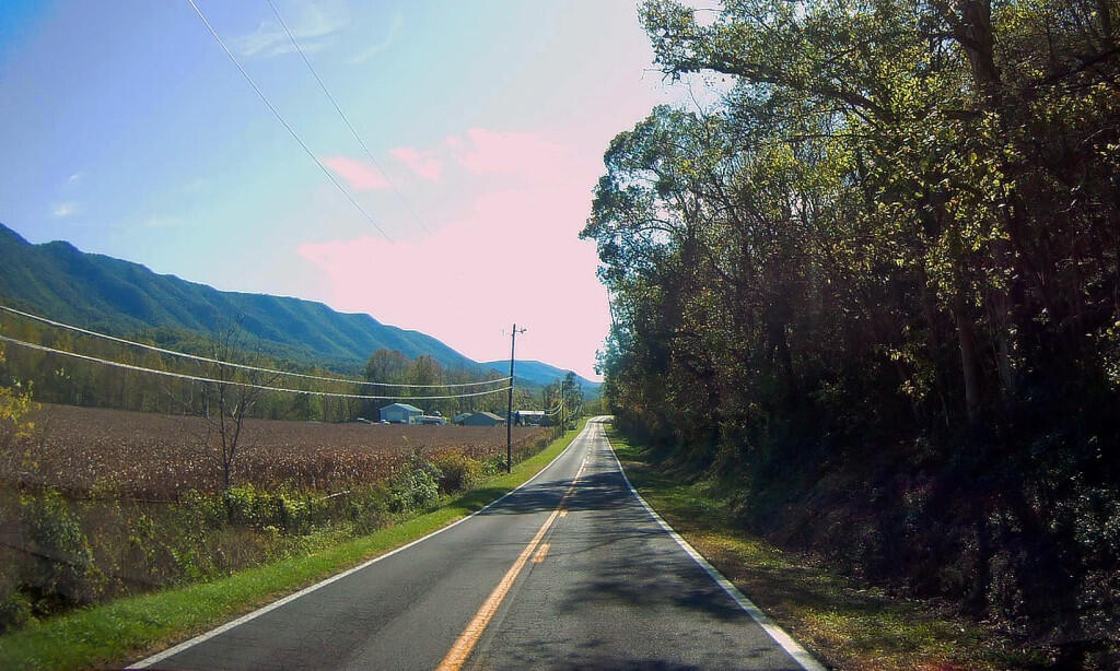
 Corn In The Sweedlin Valley

This year I have very little interest in dwelling in Pennsylvania or visiting Virginia. I want to be places away from the crowds and the tourists πŸ‘ͺ where I can enjoy the wilderness without the crowds. Maybe one night when I visit the New River Gorge I’ll have to stay in a developed campground but the rest will be pretty close to wildness camping.

The Weekend that Was At Moose River Plains

This past long independence Day Weekend I went up to Moose River Plains. Some observations and notable things from the weekend that was — I’m going to post additional pictures and stories later.

Wednesday

  • I got to leave work early on Wednesday around 3 PM, so I was home by 3:30 PM on the road by 4 PM.
  • Deciding that the traffic would be bad at that hour on all expressways, I decided to shun the main roads for the blue highway.
  • I took State Farm Road (NY 155) to US 20 West to Duanesburg Church Road past Mariaville Farm to NY 30 to Indian Lake then out to Cedar River Road.
  • Driving past the Mariaville Farm, I was noticing how many hogs they had in a barnyard near their home. And I saw a hog taking a piss — they pee like cows. Farming is great but I think I’d want more distance my house and livestock.
  • I still need to visit For the Love of Bacon. It’s just off of the first exit of Interstate 88, I have no excuse not to.
  • Google Maps estimates that the trip via the Northway at normal traffic would take 2 hours and 20 minutes, my shun-pike way took about 3 1/2 hours, although the Northway with delays was looking closer to 3 hours when I checked on Wednesday evening.
  • That said it was worth it because I really hate driving on the expressway.
  • I thought I heard a noise driving up to Moose River Plains that had me a bit worried, turned out just to be strap on the kayak flapping around.
  • Made it to Cedar River Flow by 7:30, took some pictures at the flow and signed in.
  • There are new entrance signs. They say you should call for a camping permit for all stays over three nights even if you plan to camp at a different part of the plains. I think that’s silly and not consistent with the regulations – I stayed four nights but at two different sites.
  • I wouldn’t object to getting a camping permit but it’s a pain to play phone tag with the ranger when you should be able to do it online.
  • As soon as I stepped out of the truck I realized what a buggy weekend it was going to be with a shit ton of horse flies
  • The first night I camped at campsite 26 which is a little ways up from the Silver Run. Nice night, but buggy until it got dark.
  • It was nice to leave work early and not have to set up in the dark. Kept my campsite simple as I planned to break camp early and get a site I really liked around the Moose River so I could walk to a swimming hole from camps.
  • I bought some wood at Quinzal’s on Cedar River Road on the way up and had a good fire with that plus some wood I found in the woods.
  • Stayed up late until around midnight, drank a lot of beer, listened to some podcasts and music until around midnight.

Independence Day

  • The next morning I got up probably too early, stumbled around and took down camp. Headed straight toward the Big T, hoping to find a campsite near water in the plains where I could swim.
  • I ended up choosing campsite 94 which was a short walk to the Moose River Bridge which at the time I set up had no near neighbors
  • It was a nice site, open and airy but well screened and set back from the road. Had a nice new outhouse and picnic table although the fire place was in rough shape.
  • Deer flies were nasty.
  • I tried sitting and reading in my hammock and despite being covered from head to toe in a mixture of Picardin, DEET and PMD it only limited them a bit.
  • Another family on Independence Day took the campsite across the way – a good working class family and they had a pretty wild party up at Moose River Plains on independence Day with lots of country music, fireworks and alcohol.
  • Independence Day was hot and buggy, the deer fly were so bad for a while I left hammock and took a nap in my truck with the fan blowing.
  • Despite napping in my truck a deer fly got inside and bit my lip while napping. It hurt like a mother. I almost thought about taking down camp and heading home.
  • I eventually strapped on my bathing suit and went down to the Moose River to cool off for a few hours.
  • Finished one book started another one. Very pleasant laying in the hammock after dark .
  • Did a night hike to Icehouse Pond and it was nice but buggy.
  • Had a decent size fire, lit off some small fireworks

Friday

  • Friday I hiked back to the Beaver Lake. Been a long time since I’ve been back there. Not many fish biting with the heat.
  • Beaver Pond at least had a steady breeze that limited the horse flies but it was hot.
  • That said while I was down by the lake I got bit by a horse fly and my ear got swollen.
  • I forgot how enormous that
  • Hiked back to camp then back into the Moose River to cool down.
  • In the evening I hiked down Otter Brook Road to the Sly Pond Trailhead.
  • Laid out on the Moose River Bridge for about an hour looking at the stars
  • It was pretty laying back in the hammock watching the stars and my laser light show on the trees above how the light scattered and was beautiful.

Saturday

  • Saturday was a bit more stormy with lots of clouds but only a few showers
  • I had plenty of electricity despite the lack of sun for most the day
  • I did more reading, laid in the hammock, wrote some blog posts and listened to podcasts
  • Disassembled my camp stove and determined it was the burner unit is where the leak is and needs to be replaced.
  • I went to Moose River to swim for a few hours, listening to podcasts.
  • Didn’t gets lot of rain but most of the day was cloudy. Certainly not the heavy rains of Albany.
  • Went back to Icehouse Pond to fish around dusk
  • Sat out on the Moose River Bridge watching the stars into the wee hours of the morning. Much clearer tonight no light pollution

Sunday

  • Sunday I broke camp modestly early although I proscastinated a bit as I wanted to top off the starting battery with solar so it would be healthy to start the truck.
  • Ended up deciding Stillwater was too far away to hike the Fire Tower so decided to paddle Moss Lake.
  • Not a really big late, lots of noise pollution from Big Moose Road and crowds, wouldn’t paddle again and caught nothing.
  • I wish I had done something different but I felt like I should use the kayak having brought it.
  • Headed home shunning the interstates again, taking NY 28 through Old Forge to Remsen then Middleville and NY 169 to Little Falls to NY 5S and then decided to take NY 152 through Rural Grove down to NY 20 and home. Slower than the Thruway but I like seeing all the farms along it.

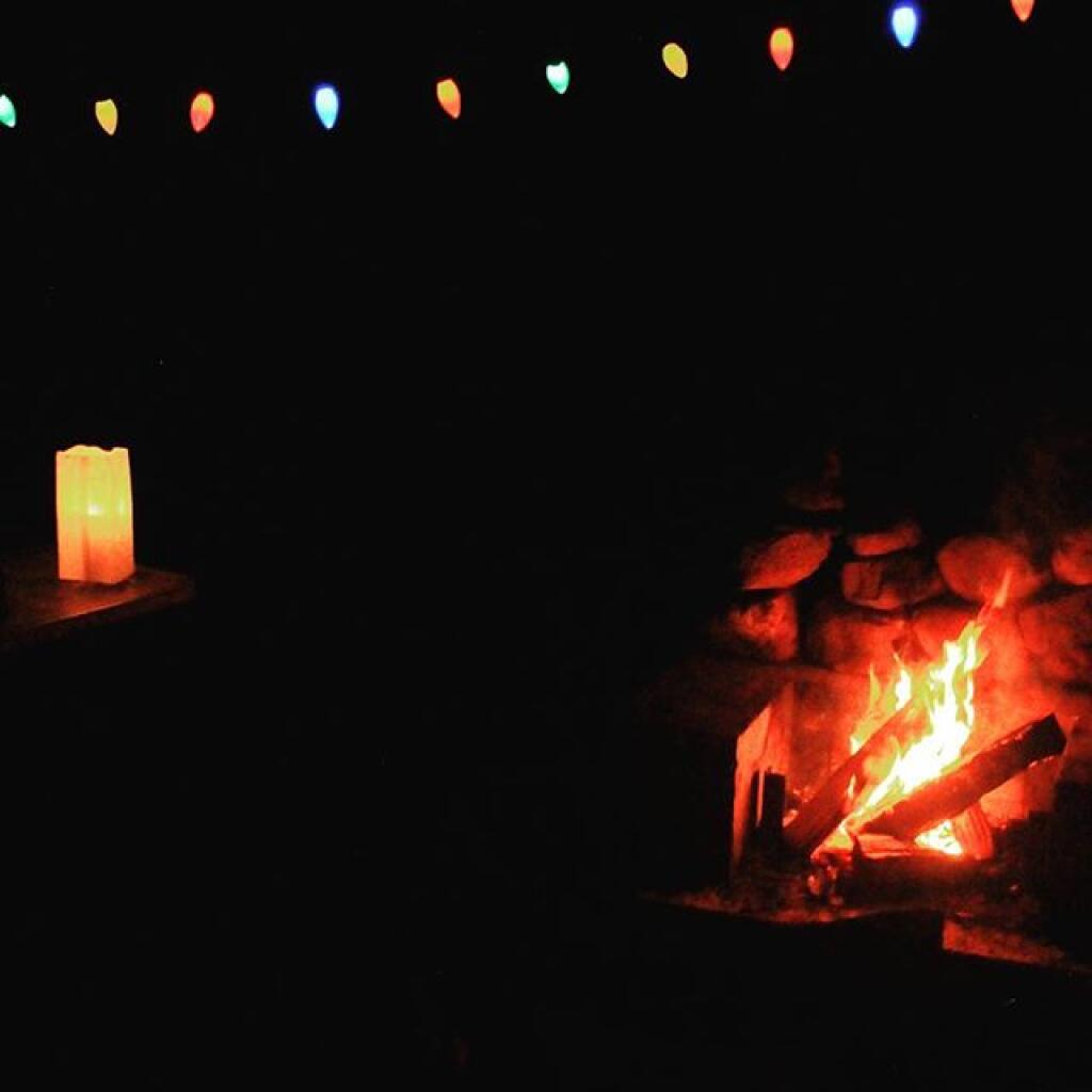
Campfire

Columbus Day Road Trip Ideas

Over the past couple of days I’ve been thinking about what I want do for my Columbus Day Week Road Trip. While it feels like I just got back from my five-day August eclipse trip, that is really a fading memory, and I’m ready for another big trip.

One option, mostly discounted would be a Vermont Northern New York trip. This would be good if I don’t think I could spend the full nine days on the road due to bad weather, some issue with the truck (unlikely), having to do work (also unlikely), or family needs.

That trip if I do it would consist of overnight in in Southern Green Mountain National Forest, then heading up to Mid-State outside of Middlebury then head north and drive through Smugglers Notch. I’ve never driven through Smuggler Notch and that would be interesting. From there head east to the Northern Adirondacks or maybe outside of Malone to the Deer River State Forest then to some of the state forests I’ve long wanted to explore in Saint Lawrence County, like Wolf Lake State Forest and Frank Jadwin State Forest. Then come down through the Tug Hill Plateau. That might be an interesting trip, but that’s not the one I really want to take.

The October trip I really want to do is the multi-state trip that I did to years ago to West Virginia and Virigina. But with some different destinations then two years ago. I think I want to actually see the Blackwater Falls in West Virigina, visit Ohiopyle State Park in Pennsylvania, drive through more of the farm country in the Shenandoah Valley and do more of the Blue Ridge Parkway in Virigina. This year, I’m much less interested in Shenandoah National Park and Skyline Drive, as I feel like I’ve done that before, and I’m not interested in the constrained forms of recreation that parks provide. I’d rather spend more time seeing the Blue Ridge Parkway, where the speed limit is 45 MPH and the curves in general are much less sharp and hills are smoother. The Blue Ridge Parkway is such a nice drive compared to so many other roads these days, especially the steep hills of West Virginia.

The one thing about this trip option is it will have me staying more in developed campgrounds then I would like. Yes, most of the $10 or even $20 fees are nuisance fees in the grand scheme of things, but I like having my space while camping. It’s just not the same to camp when you have somebody else 20 feet away and you have to keep the noise down. That said, showers are nice.

The places I would camp in West Virigina in the Mongehella National Forest, along with the George Washington National Forest are dispersed camping areas and are remote enough I probably wouldn’t see many people around except for a passing pickup. I like West VIrigina, but those roads sure are steep, twisty, and narrow. I don’t want to overheat my brakes again or worry about that.

One thing that Northern West Virginia has going for it this year with my new phone is that the AT&T GSM network has much better coverage up there, especially outside of the hollows. On the long autumn nights, I like to be connected to the Internet, surf the web, update my blog, and no I can summon emergency services should I run into mechanical problems. I’ll take a long gun and extra food but I don’t like having zero service for multiple days on end. I just hate being totally off grid, especially in such remote country. The lack of cell service with my Verizon network CDMA phone more then anything else bugged me a lot about camping in West Virigina.

This year though, if I go down, I probably won’t first visit the Alleghany National Forest but will instead stay at Asaph Run or more likely County Bridge Primitive Campgrounds. They are $10/night but they are worth it as they closer to being on the way, and I can then hop on US 15/US 220/Interstate 99 and head straighter for Cumberland, Maryland then West Virigina and either to Forest Road 13 outside of Thomas, WV or Camp Run in Fort Seybert, WV. I liked the dispersed camping a lot along the high-elevation swamps on Forest Road 13, although I always worry about their being enough campsites up there because it’s somewhat limited along the road. That would bring me close to Blackwater Falls for visiting the net day, and also along Corridor “H” which is a newer expressway to Thomas. It passes by a massive coal fired power plant, which might be interesting to drive by just to see what is like in person. Another option down in the corner of Pennsylvania by West Viriginia is the aforementioned Ohiopyle State Park, which I’ve been interested in a while but are more interested since that hunter last autumn that I ran into on the trail told me what beautiful country it is up there.

Dolly Sods Wilderness is quite scenic but it’s a way up and I’ve been there before so I may skip that. Same thing with Gandy Run Camping Area and Spruce Mountian, the highest elevation in the Mountain State. I’d rather hurry down to the Blue Ridge Parkway.

I would at some point crossover to Viriginia — I’m thinking US 250 — then drive down in the Shenandoah Valley for a bit before heading up to the Blue Ridge Parkway. I’ve seen the Shenandoah Valley from Shenandoah Parkway but never spent much time down in it.

The Blue Ridge Parkway is a nice drive. The North Creek Campground in Bucchan, VA is quite nice, for $10/night and even had a bit of CMDA cell service there. No showers though. The next overnight would be the Flat Rock or whatever the developed campground is on the Blue Ridge Parkway is south of Ronoake. I think that one is like $25/night but they they have showers and maybe even electricity at campsites.

At that point, I would almost be to the Tennessee line and I doubt I would go further south. I would probably come back part of the way I came, then more of the Shenandoah Valley, camping over again at North Creek Campground in Buchanan then probably heading up to West Virigina and camping over at Camp Run in Fort Seybert. I might then drive home from there or maybe overnight at County Bridge or Asaph Run in Wellsboro, because I really don’t like driving that much, and it gets dark so early in October.

I don’t have everything planned out and I need to study maps some more. But that’s fine. I’ll work on that tomorrow, and realize there is more to plan. That said, next Saturday, October 7th will be here before you know it.

The Final Day at Moose River Plains

I thought my Moose River Trip was a pretty good one, even if I ran into some minor issues along the way.

It was a pretty foggy start to my morning when I first woke up with the fog picking up right before eight AM then burning off a little while after the sun rose. While Friday and Saturday nights were fairly chilly the same could not be said about last night. Yesterday was pretty nice paddling along the Cedar River Flow then up on Cedar River to Carry Lean-To, which as the name suggests is close to the end of the navigable waters on the river. Maybe you can “carry” and get to another section of deep enough water but I have my doubts. The leaves along the flow were quite colorful, although the mountains surrounding the flow where already past peak and starting to turn quite brown and gray, with only some deep reds from the maples and greens from the evergreens remaining. It seems ironic that Moose River Plains is already looking like late fall, with the weather still in the 80s. Cool weather, some with a frost in early September made the leaves fall on many of the trees, despite the big warm up of this weekend.

While I don’t know how truly warm it got up here on Sunday — September 24th I should note — my phone said it was 87 degrees by mid afternoon, and the water in the Cedar River wasn’t super cold. I went swimming every day I was up here. The weather this weekend was warmer then it was when I camped up here over the Independence Day Weeekend. So be it.

I got lost in the muck and vegetation looking for the Cedar River, which if your inexperienced paddling or been a while since the last time on the Cedar River Flow can be quite difficult to find. Fortunately I saw a passing kayaker and he gave me verbal advice on how to find the river. I had a topographic map on my phone but it’s only of limited use, because topographic maps are old, and do not reflect the lower lake level since the DEC put in the modern dam in 1969.

There was a dreaded beaver dam on the Cedar River, only a short distance from the entrance from the flow. I am really quite surprised a beaver dam survived the boats crossing the area and the trappers seeking beaver pelts. I guess beaver pelts haven’t been fetching the price they once did, and with less human pressures, beavers are able to build an dam up whatever they want these days.

Coming back over the Beaver Dam the second time, I managed to flip my kayak getting back into it. My smartphone stayed plenty dry in it’s protective bag, but my camera and tackle box got soaked. Well, only briefly, but my camera is drying out and I assume in a day or two it will be fine to power back up again. So for the last day of my trip, I am limited to smartphone pictures.

I haven’t paddled the Cedar River Flow in a while because I have been spending more time up in the western end of Moose River Plains, and it’s a big haul back there. At 15 MPH speed limit, it takes almost an hour. From Wakely Dam to Carry Lean-to, it’s an hour and a half paddle, assuming you find the entrance to the river with ease and don’t stop for an hour for lunch, personal business on the smartphone, and of course updating social media. I know, hah. But there is good AT&T GSM access from the upper end of Cedar River Flow, especially near Campsite 6. That’s not as common in much of the Moose River Recreation Area.

Driving to the Cedar River Flow from the camping area in the western part of the Moose River Plains near Helldiver is an hour long proposition, which is why I haven’t spent much time there lately. I’ve also been spending more time exploring things around Inlet, in part because I like being able to check my phone to see if any family or work things come on up. I also get a bit tired of all those bumpy miles of 15 MPH road, especially now that I know Cedar River – Limekiln Lake Road like the back of my hand.

I cooked up some beef, cheese and chilies, and had some more burritos with Corona beer. After a few beers, with the hot sun all day, the five hours of paddling, I watched the fire for a bit then I retired for the night. I was probably in bed by nine. Which seems silly, as it was it was a pleasant evening with billions of stars above and temperatures in the 60s, but I felt like I needed toothpicks to keep my eyes open. I’ve also been trying to get more sleep these days.

In the past few years, I’ve camped up at Moose River Plains but it’s been at least two years since I camped in the plains formal — the area where the campsites are sand, the canopies are open and the surrounding area is quite swampy. The reason for not camping up here is quite simple — the bugs can be quite horrific during the spring and early summer — while the surrounding wooded sites tend to be bug free or have much fewer mosquitoes. It can be like night or day, especially in black fly season.

That said the “plains” campsites just are a special place to camp at with the big starry skies above in the remote country. I really enjoyed campsite 80, and should try to make sure to camp up here more often.

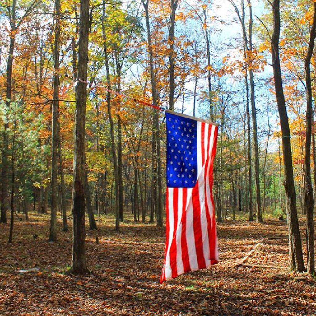
Broke camp before ten, walked down to the Moose River. Cooked up biscuits in the camp oven, took down the flags, put away the gear, hung out the wet stuff to dry, worked on the blog post, and once the fog burnt off it was a beautiful but rapidly warming morning as the leaves continued to fall.

First tried my hand at fishing the Moose River from the path behind my campsite, then I drove to the bridge over the Moose River and fished under there. Caught nothing. Hiked back from the Squaw Lake parking area first to Muskrat Pond and then to Indian Lake, that is the one in the southwestern most part of Moose River Plains. Nice hike, although at this point some of the colors are already done. Other places, less color. It varies a lot with elevation. But regardless the weather on this extended weekend has been amazing.

I tell you there aren’t many 80 degree days during the last week of September in the Adirondacks. It was nice sitting down by the lake with a fishing pole, even if I only caught a few bullheads. No mosquitoes which was nice too. And I almost slipped and fell in the lake which honestly today wouldn’t have been the worse thing. They’ve removed most of the signs and tables from the old campsites along the closed portion of Indian Lake Road, even if it’s in better condition than the open portion. The open portion of Indian Lake Road has been beat to shit by trucks and cars due to it being so wet and rainy this summer. Good colors along the road though. Definitely a beautiful day, not too humid with a lot of fair weather clouds.

Apparently I don’t have cell service up at Indian Lake or Muskrat Pond with my GSM phone like my old CDMA model. That’s fine but I do like to check in with the world from time to time. Oh well, by the time you read this I will be back in cellphone range.

I was looking at the map and thinking I have never hiked back to the Indian River. IΒ didn’t have time today but I should add that to my list for next summer. Also hiking back to Cellar Pond by Cellar Monument now that the DEC has a big sign announcing the trail and they’ve blocked off the old dirt track used by hunters to drive down that way. I always go to the same places at Moose River Plains, I should explore new places.

After visiting Muskrat Pond, Indian Lake, and Squaw Lake I made it back to my truck closer to four PM then three. And I was at the Inlet gate around five, when I stopped and put the front and back ropes back on the kayak, and headed back via Old Forge.I didn’t feel like driving all the way back through Moose River Plains to Indian Lake, and heck, I haven’t been back via NY 28 in a long time.

Driving back through Inlet and Old Forge was really quiet. It was nice to be on the nice smooth black top, after driving over Indian Lake Road, the little used and little maintained section between the Falls Pond and Squaw Lake Trailhead was particularly rough. The sound of windshield washer fluid hitting the kayak on NY 28 made me pull over, but it was just that noise, the kayak was riding fine. But in general it seemed like all of the roads at Moose River Plains were rougher then usual after such a wet summer, with some heavy rains eroding away the roads and vehicles giving the road a good pounding in spots.Β Β I thought there was a McDonalds in Old Forge where I could get a milk shake, but I couldn’t find it.

NY 28 except for the small towns is really a good road, if not boring. The DOT has straightened and improved much of the road except through the small towns. Without summer vacationer traffic and being a weekday, there was very little traffic. I always like that section of NY 28 when it meets up with NY 12 south of Alder Creek, and becomes a four lane, but I think people always seem to speed on it and there are always cops watching for speeders. But the scenery is nice along this section of the road, looking down at the Mohawk Valley and the rough farm country, and swamp land of the greater Remsen area. I always find the rocky, rough farms cut into the mountains to be much more interesting to look at then the lush, more heavily capitalized and better maintained farms of the lush alluvial valleys you see in some parts of the state. The Tug Hill, in it’s upper elevations is a rough country, with lots of snow, and very hardy people. A big black F-350 Harvey Davidson edition passed by with Agriculture plates, and I had to think, “he must do some good shit, “no pun intended”.

Drove down to Poland and Middleville via NY 28. I like this part of NY 28 even if the villages are pokey, just because it’s pretty along the East Canada Creek. I should try my hand trout fishing there one spring — I just got to find a good place to camp up that way — it’s a bit of a trip for a day trip from Albany in my opinion. Middleville is quite the quaint little town, reminding me of what America used to be like.

Then it was down to NY 169 to Little Falls from Herkimer. I like this section of road, even though it’s hilly, because it’s quite beautiful. I like seeing the farms and valleys, and a landscape that works but isn’t that perfect, and still somewhat rough. Drove through Little Falls, a nice little but struggling city that has much potential. Yeah, I was there last weekemd at Moss Island, then onwards toward the Thruway. Stopped at Fink Basin Road to tighten the kayak on the roof of my truck.

Right before getting on the Thruway, I decided to shun pike some more, and take NY 5S from the Little Falls exit to Canjahoharie. I don’t like having to drive through Fort Plain and then Canjahoharie before getting onto he Thruway, but so be it. I do like that section of NY 5S high above the valley though. Some farms in the valleys haven’t cut silage yet due to the high temperatures (more growing seasons, more yields) and lack of frost.

When I got to Fort Plain I almost stopped at the Red Dragon Chinese place. I like Chinese and they tend to be inexpensive. People always think small town Chinese places are bad, but actually some can be pretty good, especially if families are trying to make a living in a place with few other options. I liked the Chinese I got in Canastota when I was working there, but then again, I got awful tasting Chinese food in North Syracuse. I don’t know, I passed as it was getting dark and I wanted to get home.

When I got on the Thruway at Canjahoharie it was getting pretty dark. My eyes were watering up and I ended up stopping at the rest area outside of Amsterdam. Took a piss and washed my hands good — nice bathrooms — then went into my truck and cleaned off my contacts and reinstered them. That made the rest of the drive easier.

Got home around 8 PM and things unpacked, well mostly so, before the heat started to get to me. Then I took a shower, and finished up this blog post. And here we are now.

My current smartphone isn’t as good at picking up distant radio channels and I didn’t play with it much so I missed hearing the news during my extended weekend trip at Moose River Plains. I doubt I missed much, most of the things in the news don’t effect me much. I’m sure my political Facebook friends will post plenty of memes to fill me in on what I’ve been missing.