Totally bummed out about this weekend, but maybe I shouldn’t be. It didn’t rain until quite late into the night and this morning the rain has slackened up quite a bit. Maybe it will be nice enough to go for a bike ride to Voorheesville or Five Rivers — and it might be pretty to check out the Pine Hollow Arboretum which amazingly enough I’ve never been there. Almost rain free-enough to make me wish I had headed out of town to get camping. Maybe tomorrow but it’s likely going to be cold and windy, and probably still damp. We’ll see come the morning, I got to start working on packing and thinking about West Virginia sooner rather then later.
Good morning! Happy Saturday on this rather Rainy Start to Columbus Day Weekend! Rain showers, at least a few drops of rain here and there and 65 degrees in Delmar, NY. ☁ There is a south-southeast breeze at 7 mph. 🍃. The dew point is 63 degrees. The skies will clear tomorrow around 10 am.
I slept in until 5:50 AM when my alarm went off ⏰ got up and make oatmeal-banana pancakes to start off my morning. 😵 Lots of coffee ☕ so I waited a while before heading out in case I had to piss up a storm, and ended up deciding bicycling was a safer option lest I needed to pee 🚽 or the sky opened up with rain. ☔
Today will have showers and possibly a thunderstorm. ⛈ Some of the storms could produce heavy rain. Temperature falling to around 57 by 5pm. Southeast wind 7 to 9 mph becoming west in the afternoon. Chance of precipitation is 100%. New rainfall amounts between 2 and 3 inches possible. Yeah, even though it’s not raining right now, I’m glad I’m not camping in that kind of crap. That’s a lot of rain. A year ago, we had partly cloudy skies in the morning, remaining cloudy in the afternoon. The high last year was 71 degrees. The record high of 89 was set in 1963.
Solar noon 🌞 is at 12:44 pm with sun having an altitude of 42° from the due south horizon (-28.9° vs. 6/21). A six foot person will cast a 6.7 foot shadow today compared to 2.2 feet on the first day of summer. The golden hour 🏅 starts at 5:51 pm with the sun in the west-southwest (257°). 📸 The sunset is in the west (263°) with the sun dropping below the horizon at 6:28 pm after setting for 2 minutes and 56 seconds with dusk around 6:55 pm, which is one minute and 43 seconds earlier than yesterday. 🌇 The best time to look at the stars is after 7:29 pm. At sunset, look for rain 🌧 and temperatures around 56 degrees. The dew point will be 54 degrees. There will be a northwest breeze at 11 mph. Tomorrow will have 11 hours and 27 minutes of daytime, a decrease of 2 minutes and 50 seconds over today.
Tonight will have showers, mainly before 1am. 🌧 Low of 47 degrees at 5am. Two degrees above normal, which is similar to a typical night around October 3rd. Northwest wind around 9 mph. Chance of precipitation is 90%. New precipitation amounts between a quarter and half of an inch possible. In 2022, we had partly cloudy skies. It got down to 38 degrees. The record low of 21 occurred back in 1964.
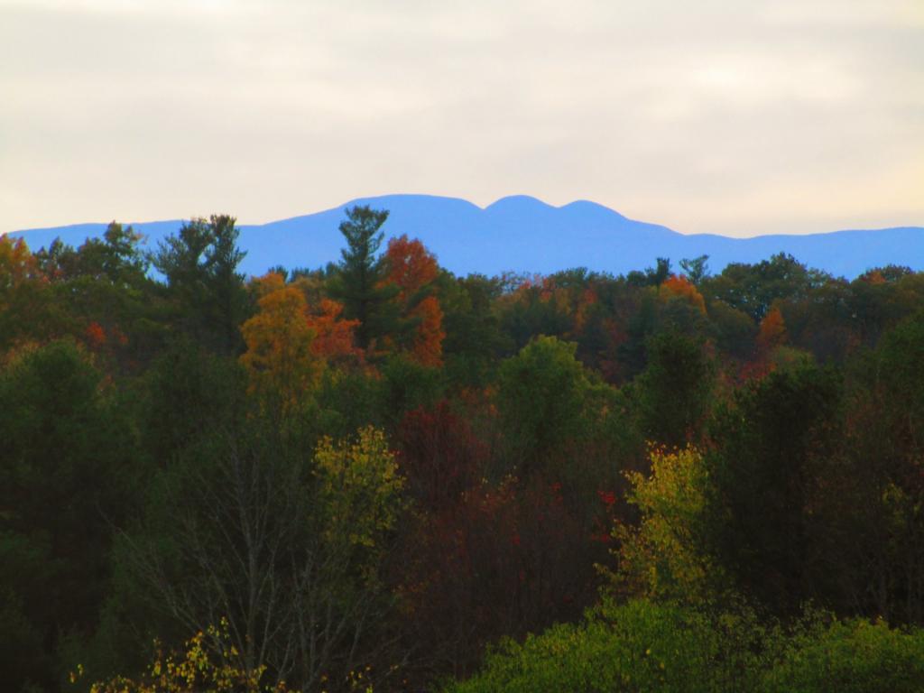
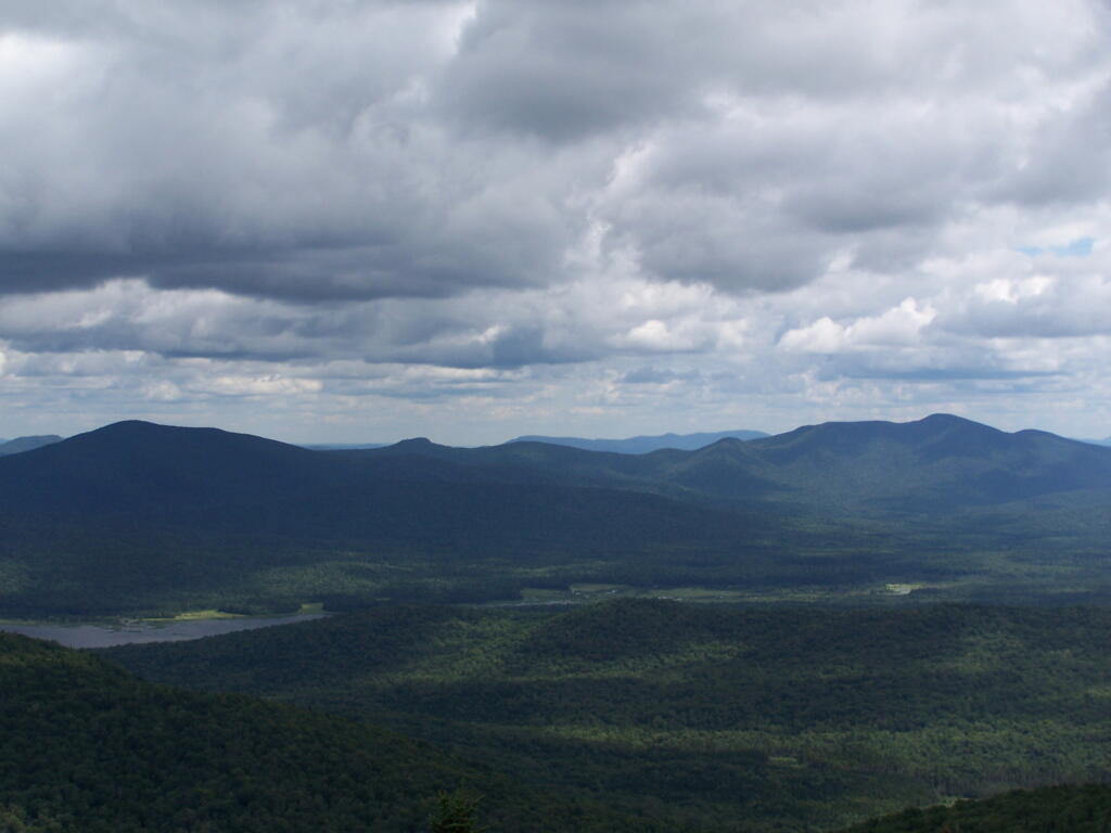
For tomorrow, Sunday, things may improve. ⛅ A slight chance of showers before 8am, then a slight chance of showers after noon. Partly sunny, with a high near 59. Southwest wind 8 to 13 mph. Chance of precipitation is 20%. That wind will make it cool but maybe I should plan to do some biking and camping out of town. 🏕 I heard there is some pretty good color in the Catskills. And for Columbus Day, cool but mostly sunny, with a high near 59. South wind around 9 mph. That does seem like an improvement over earlier forecasts. 😀 My parents are out of town this weekend, so I won’t be visiting them this weekend, so I am kind of free to do whatever I want this weekend both days and I don’t have to rush home. I have enough clothes for the upcoming week for work, as it’s going to be cool and I wore t-shirt and shorts all last week, including the day I was off. 👖 I will have to go to the laundromat later in the week though before I head down to West Virginia. Assuming that’s where I end up — if it looks truly cold and wet for the following week I could change my plans to be closer to home, but regardless I plan to camp for the full week. 🤷♂️
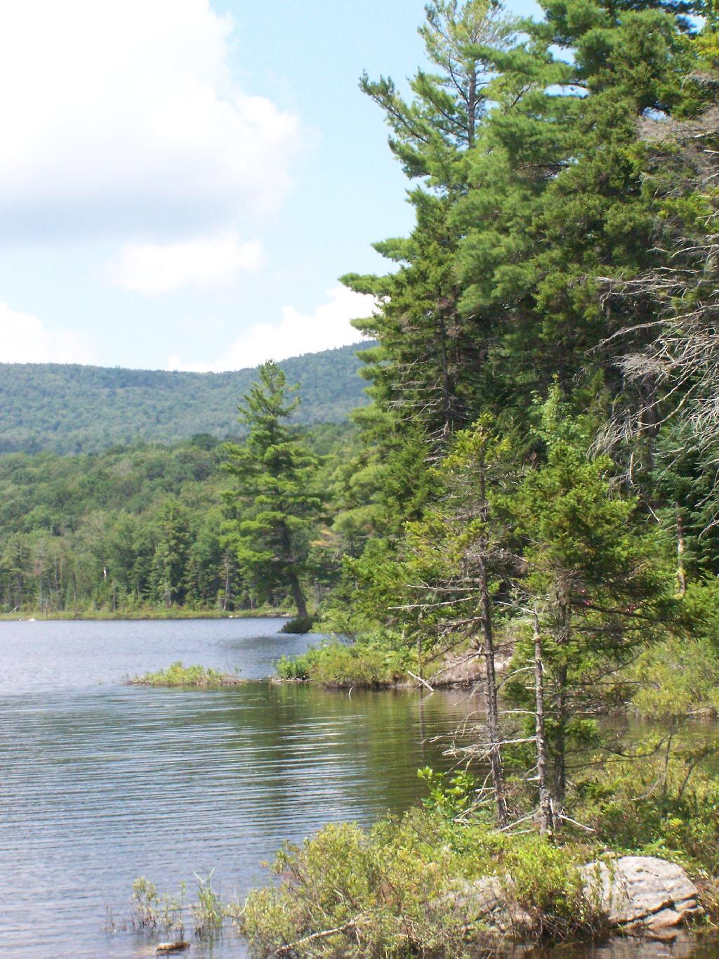
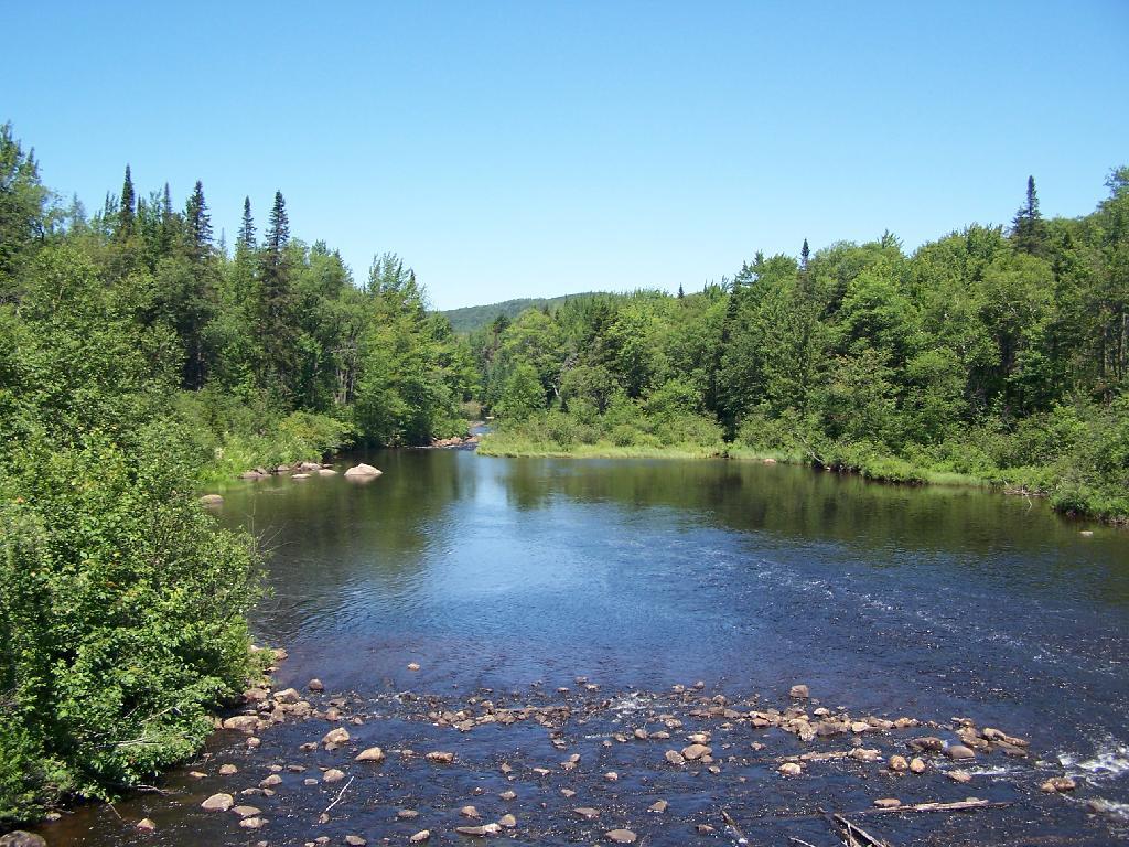
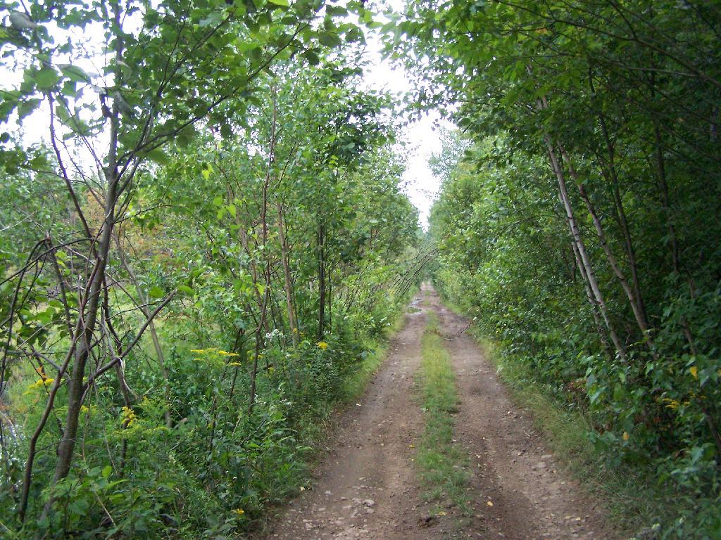
I am watching the forecast for both here in Delmar, Wellsboro Penna and Thomas WV, 🌧 and I’m not pleased with how much rain I’m seeing, though 7 days out it really is just a crap shoot. The rain numbers are quite meaningless at this point as so much could change. If it rains on my drive down to WV it’s not the end of the world, I don’t need to take a million different side trips. I’ll skip the Pine Creek Rail Trail 🚂 and the C-O Canal Trail 🚲 until later in the week or not at all, and mostly just drive down, and hunker down at camp. 🚘 Once I’m in West Virginia once camp’s set up the rain is less of an issue. Indeed, the 8-14 day outlook suggests especially in West Virginia in the mid-Atlantic states it might be a fairly dry week but cool. 😎 I’ll take that as long as there isn’t snow. ❄️
I will be bringing my heater, and can hot tent if it’s really cold up in Canaan Heights but I want to have sunny days for hiking and bicycling, plus it makes the scenery better. ♨️ ⛺ I hear they’re getting their first likely frost in the high country this weekend, so by next weekend it should still be close to peak color, without the crowds of Columbus Day Weekend. 👪 There is a reason I waited to later this year, plus it seems like autumn is occurring each year a bit later — and the High Country of West Virginia is more like the Hilltowns climate-wise then the mountains of New York due to the more southerly location.
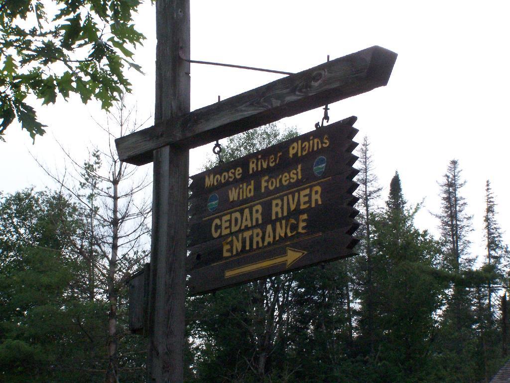
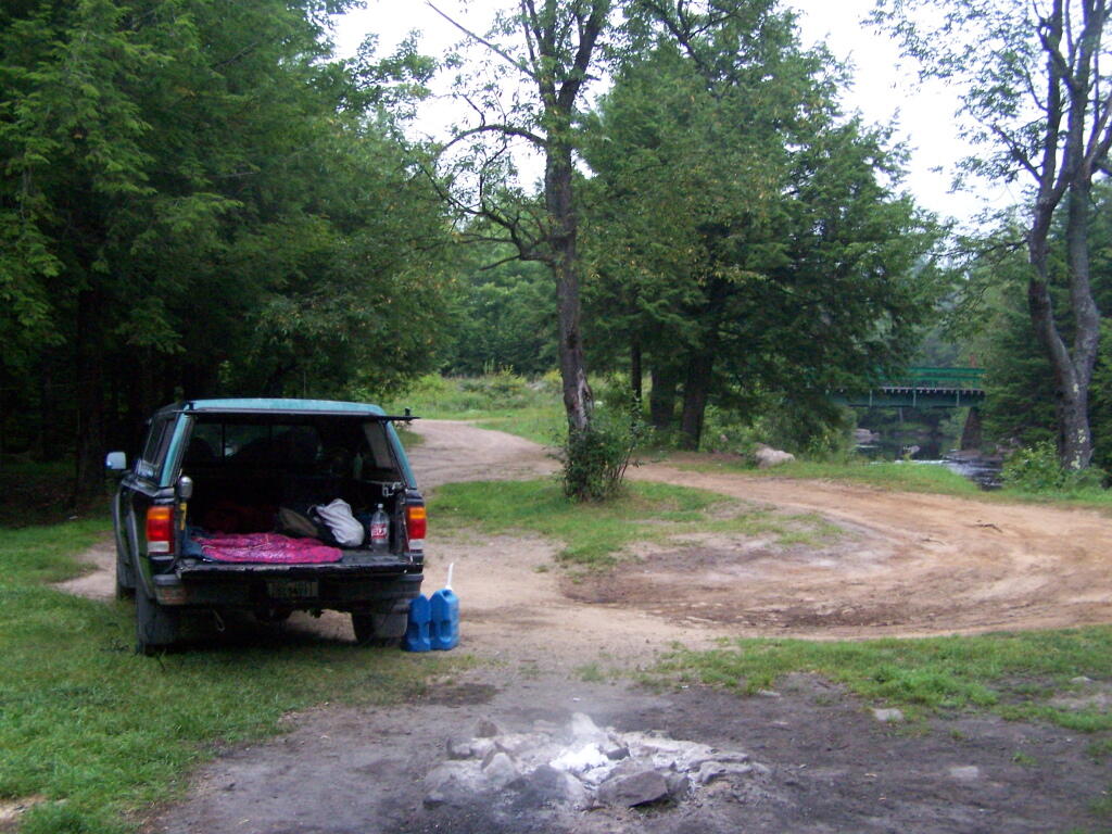
I found my West Virginia maps including the Monongahela National Forest 🗺 along with the Pine Creek Rail Trail and several other Pennsylvania State Parks I may want to visit on the way down assuming it’s not raining. I am going to print up at work a few small scale maps of Canaan Heights and some other trails in the Otter Creek and Dolly Sods Wilderness at work, 🖨 assuming I can find a printer that still works in the office, lol. 🤣 No-ones going to care if I print up like four pages, assuming that the machine still works as nobody prints much anymore work-related. Then it’s just clothes and supplies to pack for camping. I will bring a fair amount of food with me, but only one cooler as it will be cool enough that most fruits and vegetables don’t need cooling, and I don’t eat nearly as much meat and dairy as I once did. 🥩 🥛 I’m not a vegetarian but healthier, whole foods that are low on saturated fats really don’t need as much refrigeration.
The past few days I’ve been getting a ton of blog traffic 🗺 🤖 I think with people looking for places to camp and hike for the Columbus Day Weekend. One day I pulled in over $10 in ad revenue, and I’m in the low-$30s of what I’ve pulled in over the past week and a half of running ads. I think I will be close to $70 by the end of month, and while I won’t get paid until I rack up $100 in revenue, I think by December 1st I’ll probably be getting my first check 💰 which could easily be above $130 by my own estimates, though it depends how much demand drops for my blog as the winter season approaches. ☃ Traffic usually drops fairly low in December and January. Maybe I need to do more maps relating to skiing and snowmobiling or winter camping locations. 🏕 But it will pick up again come April and May, having looked at my old web logs. It’s good because the $540 check to the web host goes out tomorrow for the next three years. Hopefully, within a year I’ll made enough from blog ads to be made whole, all while enjoying telling my story.
Looking ahead, there are 4 weeks until Daylight Savings Time Ends 🛥️ when the sun will be setting at 5:46 pm with dusk at 6:14 pm. On that day in 2022, we had sunny, warm and temperatures between 71 and 46 degrees. Typically, the high temperature is 54 degrees. We hit a record high of 76 back in 1994.
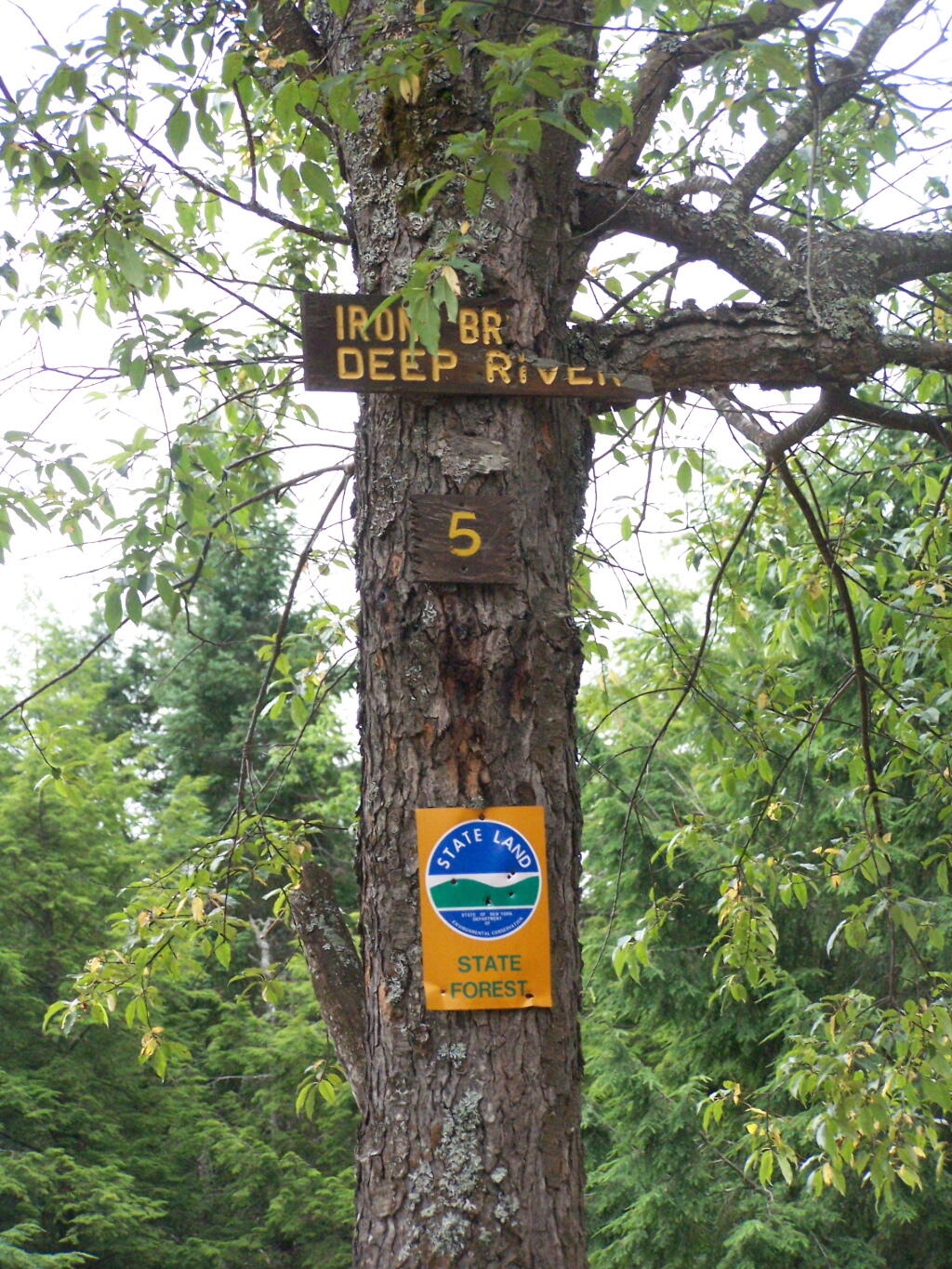
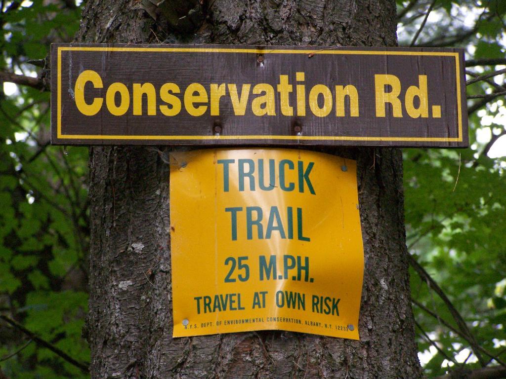
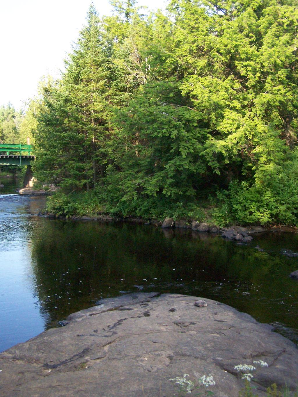

 Bicycle Trails and “Blackie” My Mountain Bike


 There is a north breeze at 7 mph. 🍃. The dew point is 60 degrees. The skies will clear around 10 am.
 So it looks like am scheduled for October 14th, which was the week I was planning to go to West Virginia. I really need to get new tires on my truck, especially before such a long trip, but I waited and waited on the alignment. It was stupid on my part, but I just wasn’t sure what I really wanted to do.
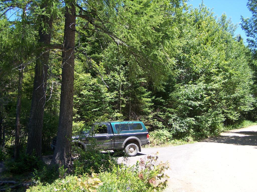
  It was just a phone call I should have made weeks ago, but I really hate to spend the money. Not on the alignment, but all the certain to be found other broken parts and then those big 35 inch tires, which I like. Needs to get done though. I am not going to bother to order the tires until the alignment is done, because that would be silly. So I’m looking at November.
 I am thinking about a four day weekend up to Piseco-Powley this weekend as it looks warm, or maybe start a few nights up at Stewart Landing to paddle and float around there in the tube, while we still have warmish weather. Then maybe another trip somewhere later in September or early October. The tires are still legal, but they are getting increasingly dry rotted, and they are cupped and loud.
  I think I can get through November, but I need better tires come winter and state inspection late in November. I shouldn’t have delayed forever — but hopefully the snow will hold off until later this year, so I can plan other trips come November. If I stay in New York, I have my hunting license — maybe the Finger Lakes National Forest would be a nice spring board off to other nearby forests. I actually am a big fan of November camping.
 I am kind of bored with it, although I still want to explore Dolly Sods more. Maybe this year in November or next. I do need to a bit careful with vacation time — I didn’t accumulate as many credited hours this year
  working from home, and next year maybe quite busy. Honestly though, I don’t if I really wanted to go down there — I procrastinated and procrastinated — suggesting it wasn’t something I cared about that much. Plus money is always so god-damn tight all of the time.
  I’m just so focused on the future, that it’s hard to justify more spending today, especially for a meaningless vacation that would be over in a week. West Virginia was fun the first few times, but now it’s kind of all the same. Some point I want to get farther south in that state, and check out the New River Gorge, but I just don’t see that happening this year.