Search Results for: photo middle mountain from campsite

Giant Ledge, October 2009

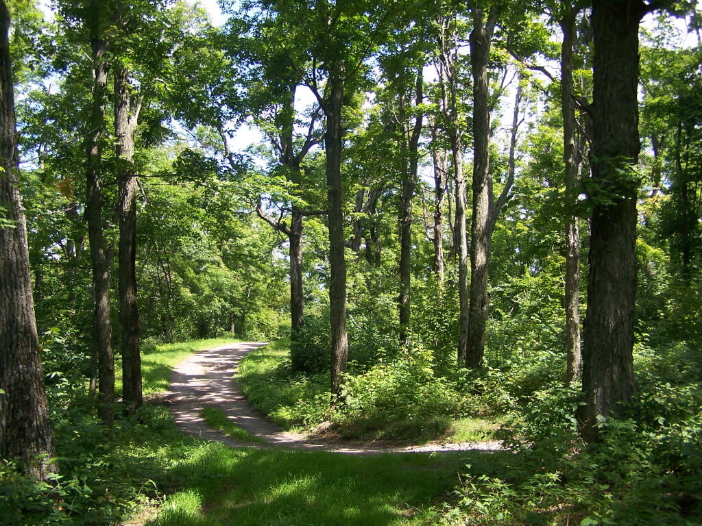
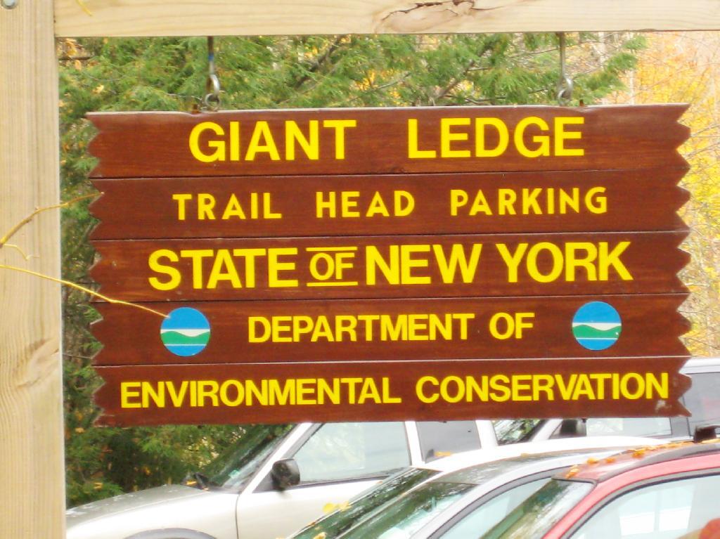
Giant Ledge is a relatively flat hill located on the ridge between Slide Mountain and Panther Mountain. It can be accessed from the Giant Ledge Parking Area, off of hairpin turn on Slide Mountain Road.

When Thanksgiving Falls, 2000 to 2099

Giant Ledge Parking Area

I went hiking on Columbus Day, a little past peak foliage system after spending two nights camping out in Schoharie County. It is a short hike.

Short Hike to the Ledge

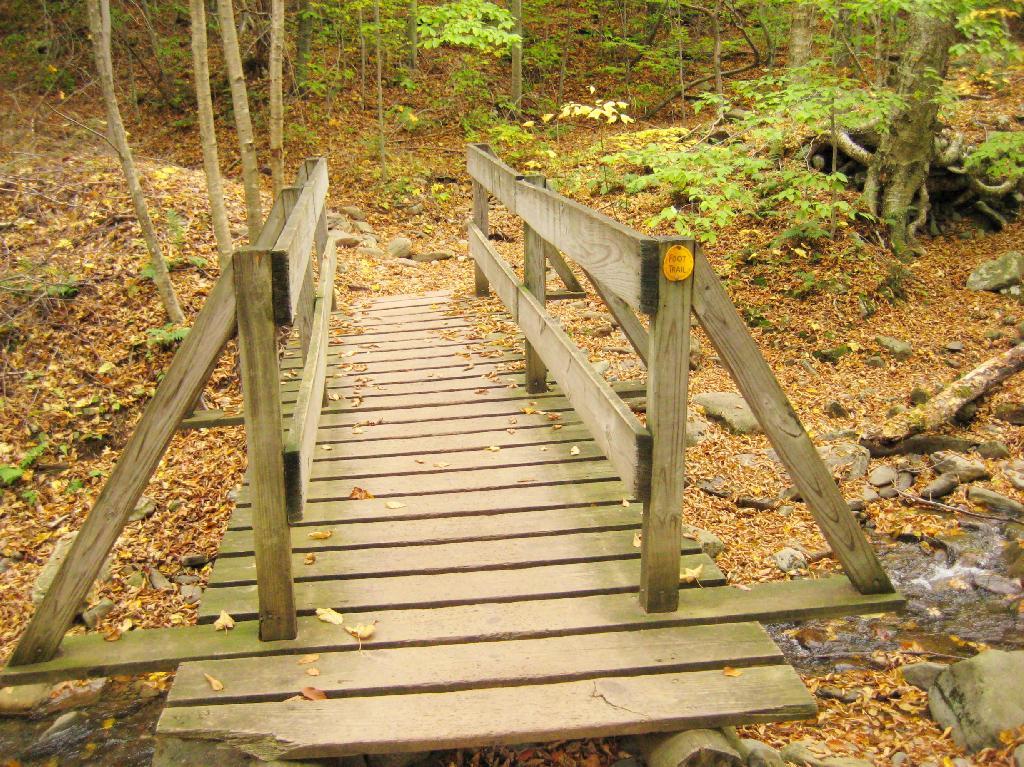
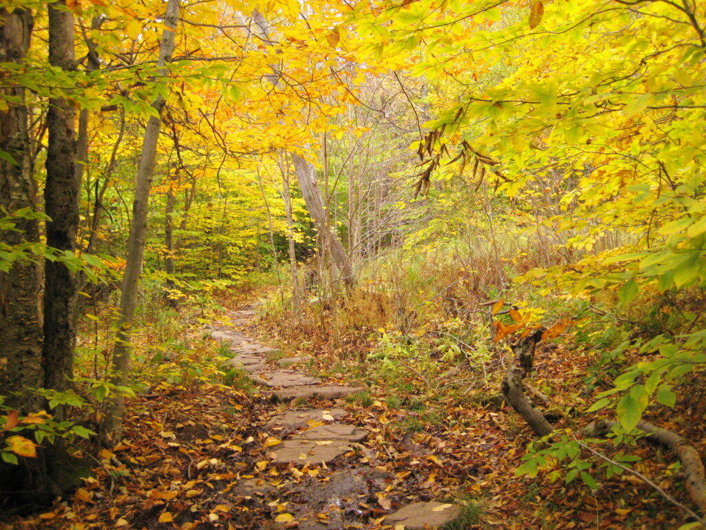
Here is cute little bridge that goes over an unamed creek, running down the northern face of Slide Mountain.

Bridge

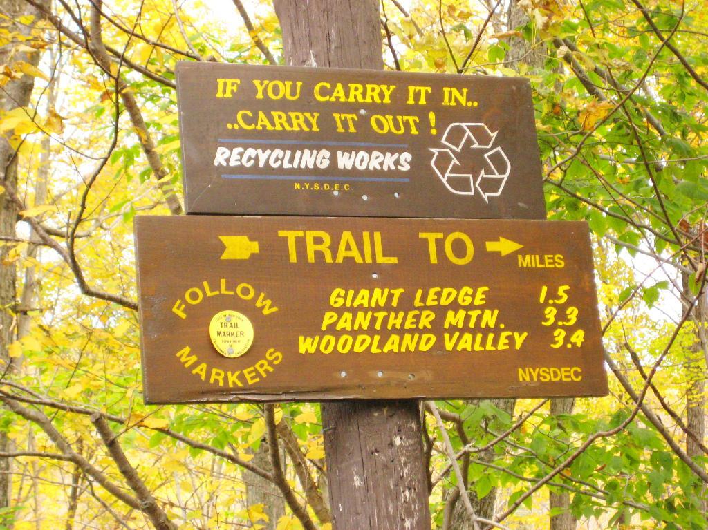
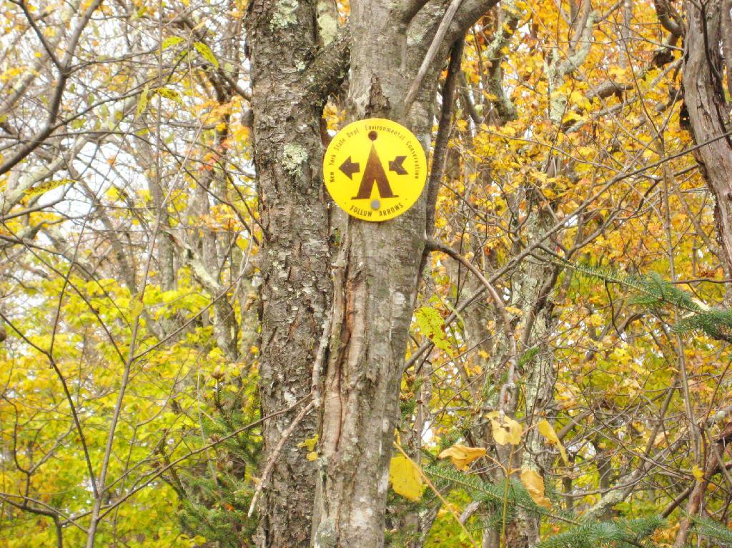
After a moderately steep 3/4 mile hike, you reach the “pass” that goes between Slide Mountain and Panther Mountain. This portion is relatively flat, until you reach the last 150 feet of elevation gain, to reach the top of Giant Ledge.

Plateau

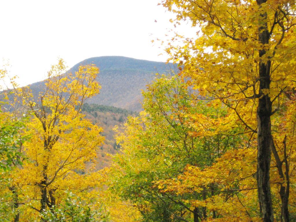
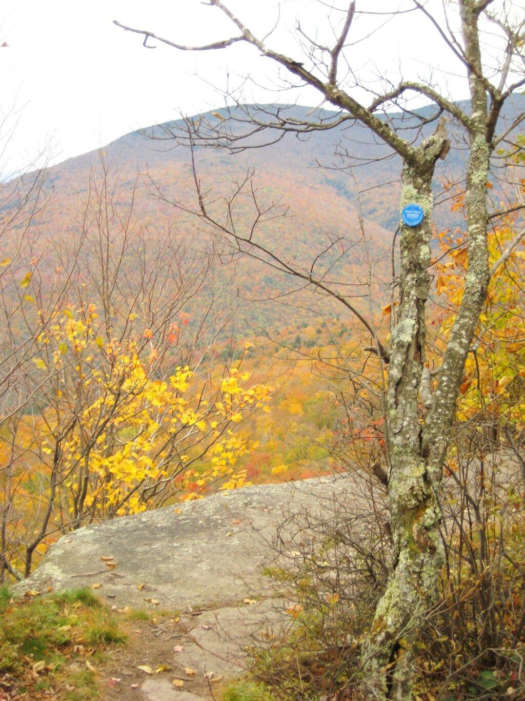
Here is Slide Mountain, peaking through the trees as your going up to the last bit to Giant Ledge.

Slide Mountain

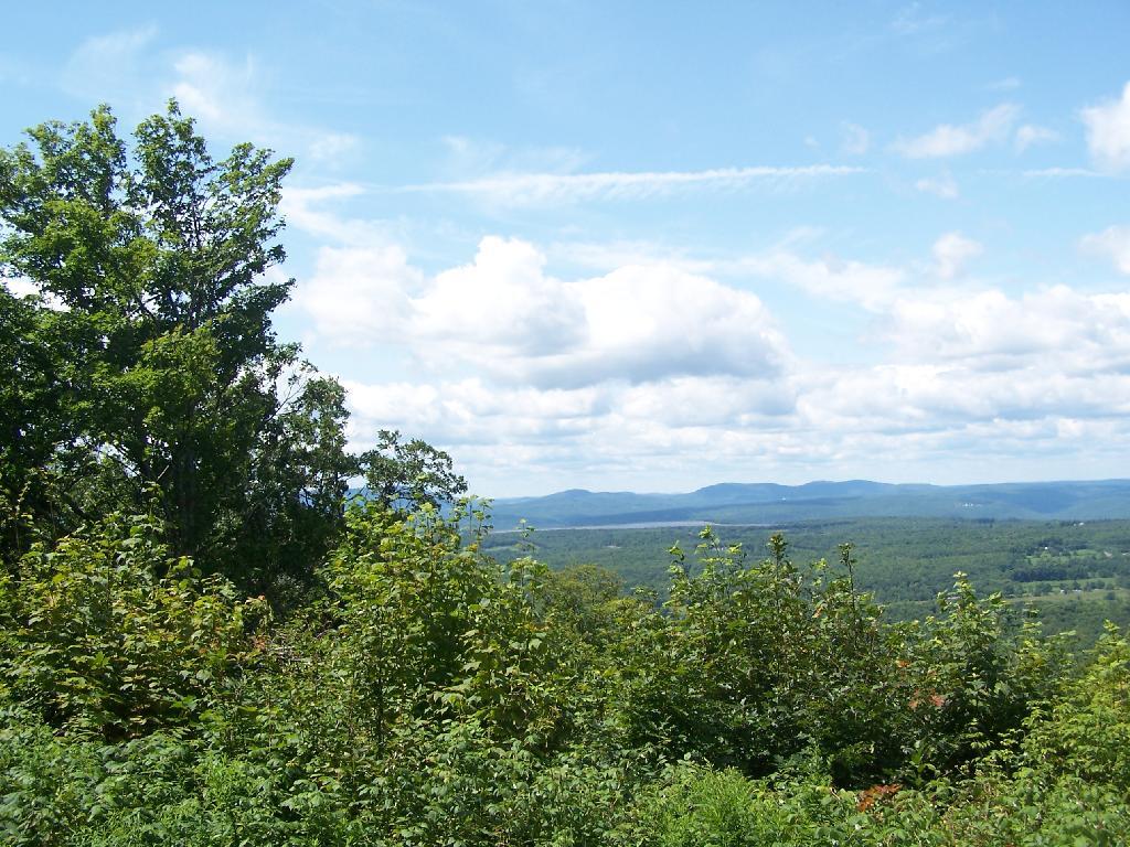
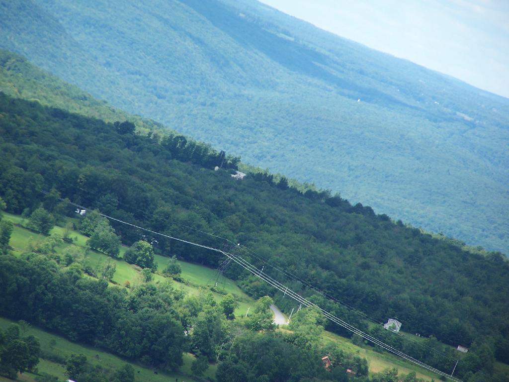
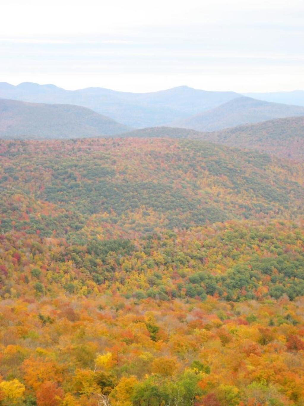
Looking off Giant Ledge, towards Woodlawn Valley (in the colorful foreground), with Plateau Mountain, Twin Mountain, Indian Head Mountain, and in the middle, Tremper Mountain.

 Colors

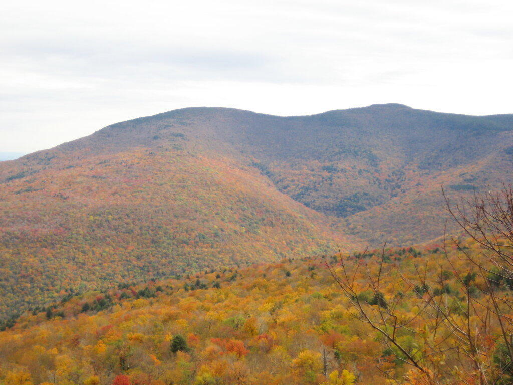
Here is the Wittenberg and Cornell Mountains.

Wittenberg and Cornell Mountains

This is the Woodlawn Valley’s beautiful colors.

Part of the trail runs right along the edge.

Trail Along the Edge

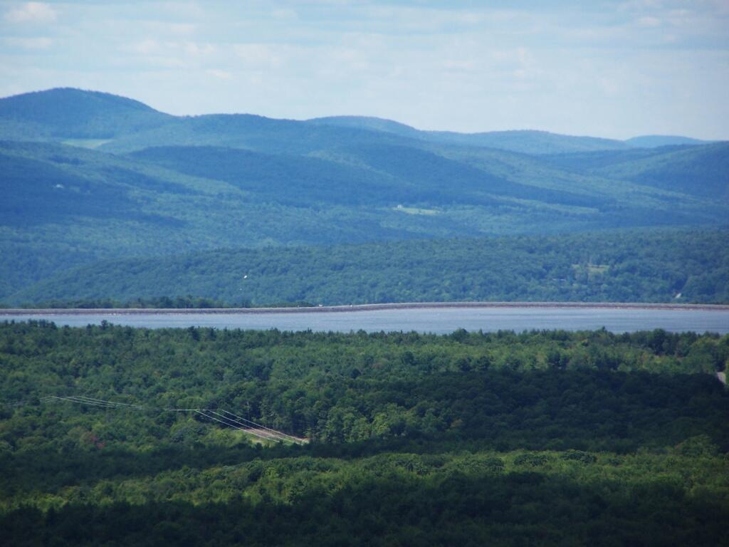
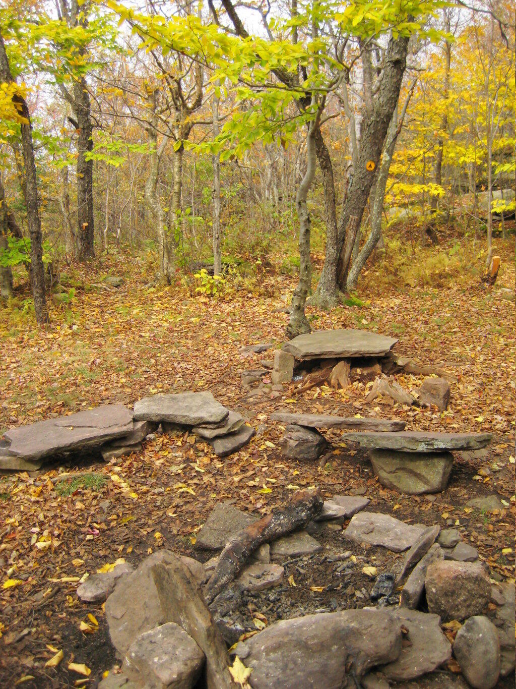
Off the main blue trail on Giant Ledge, there are two campsites at are primative, but nice. This also leads to a trail with views of the Big Indian Valley

Camp Here

Here is the second of two designated campsites on Giant Ledge. There are no campsites on Panther Mountain, which is too high to allow camping. There also is camping on the lower portion Slide Mountain, minus the wonderful views.

Campsite 2

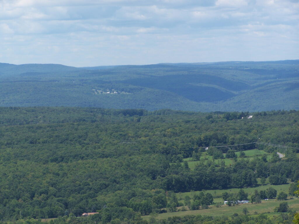
After you hike across the trail to the campsites, there is another short little trail that runs over to a viewpoint with views of Big Indian Mountain, and the Big Indian Valley (where Slide Mountain Road runs).

Across the Potamac River to West VIrigina [Expires November 12 2023]

From here, I hiked up Panther Mountain. Here is a map of the hike.


View Hikes of 2009 in a larger map

Leonard Hill

There is a currently closed, but slated for reconstruction, fire tower a top Leonard Hill in Schoharie County. You can drive up there with a car or truck as the road is well maintained.

Truck Trail to Tower

You get there by driving out Broome Center/Potter Hollow Mountain Road, then taking a left up Leonard Mountain Road, which is located right in the middle of Broome Center. You take Leonard Mountain Road about a mile until you see an truck trail marked solely by a “Leonard Hill State Forest”, and take a right on it.

Lenoard Hill State Forest Sign

After about a mile on this truck trail, you are on a ridge between Hubbard Hill and Leonard Hill, and can see Leonard Hill Fire Tower ahead. Continue on that truck trail by another mile, and you’ll arrive up to the tower, and you can drive right up to it’s base.

Drive Right Up

The tower looks a bit rusted in a places, but structurally good. It is awaiting a reconstruction project that the last time I had heard was delayed by concerns over the high cost of gasoline last summer.

The Tower

To discourage people from climbing a potentially unsafe tower, they have removed the first two flights of stairs.

Bottom Steps Removed

Just across from the tower is a beautiful campsite, with some fantastic views of the Catskills and the Schoharie Valley. I spent the following night down there, camping out. It was cloudy that night, however if the weather was beautiful, there could be a great sunset to watch from here.

With a View

Here is the Schoharie Valley.

Schoharie Valley

Blenhium Mountain and the NYPA Blenhium Power Reservior can be seen well from the campsite. The reservior is partially lit up at night from generating equipment and safety lights by NYPA.

Pump Storage Reservior

Here is the valley below, and the mountains beyond it, the Emminence State Forest.

Powerlines

Here is a map of Leonard Hill.


View Hikes of 2009 in a larger map