Search Results for: photo back down the hill

The Hills of West Virgina

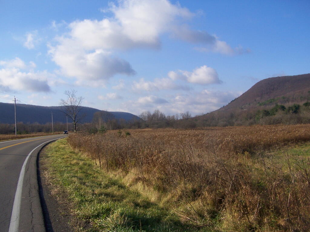
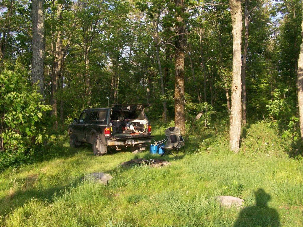
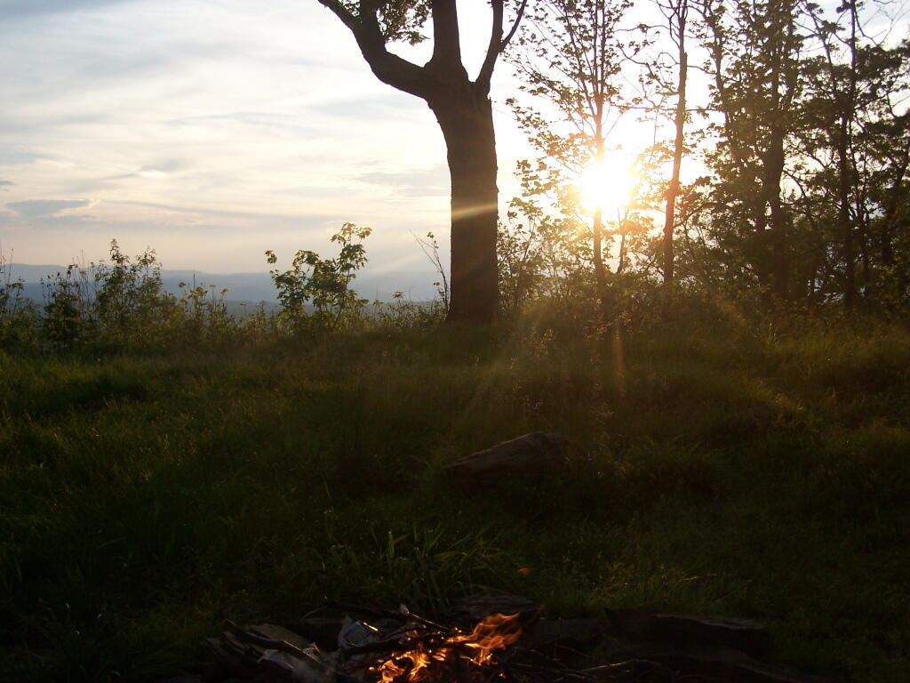
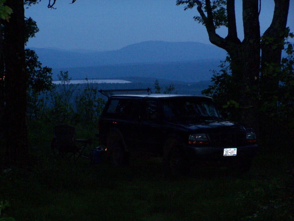
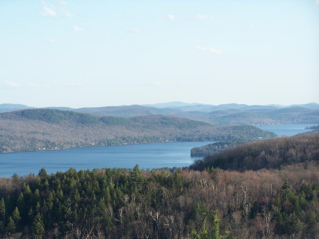
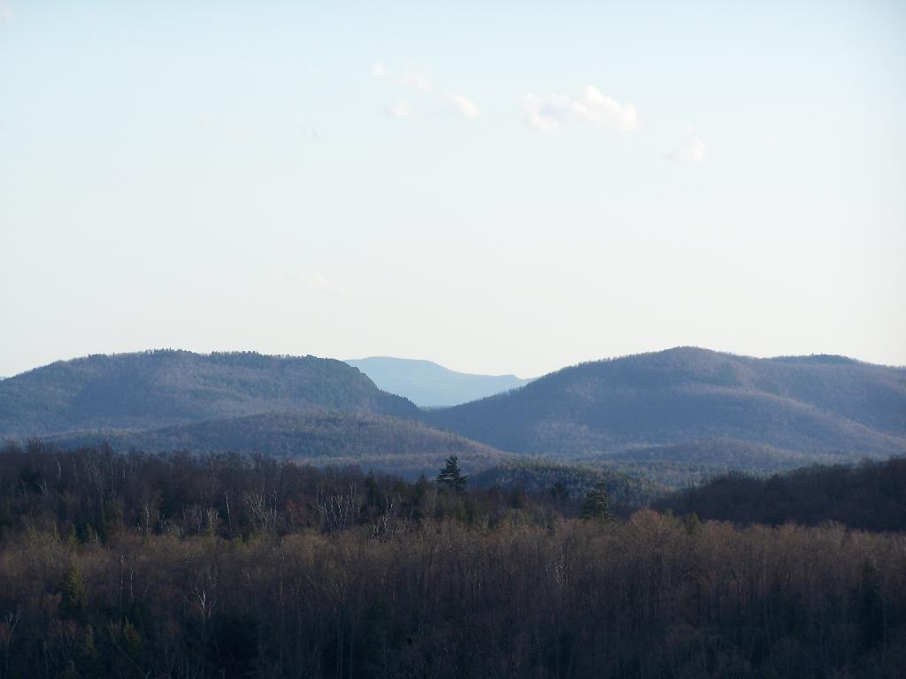
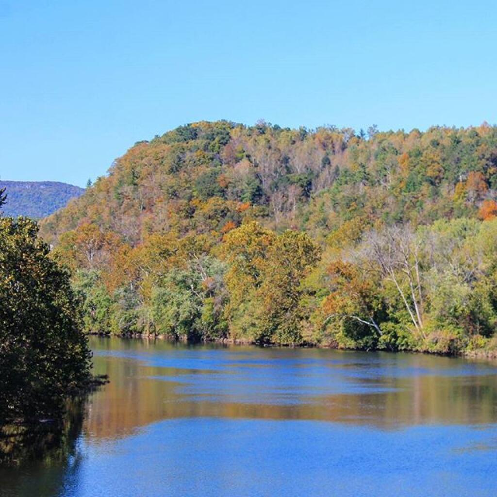
This October, I am thinking about taking another trip to West Virgina. People from New York don’t know much about West Virginia, thinking it’s a backwards, coal producing state, but it’s also one with incredible scenic beauty. I love the beauty and the back country roads, but boy are those hills steep, the roads narrow and twisty. They’re tough on your brakes going down them, even in low gear, and tough on your engine climbing them.

 Looking Back Into West Virgina From Middle Mountain

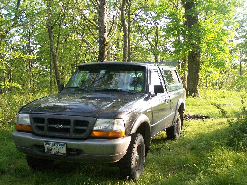
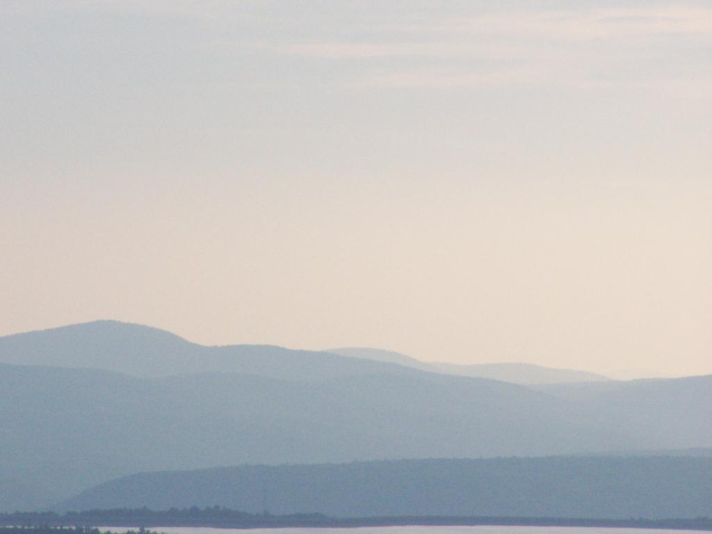
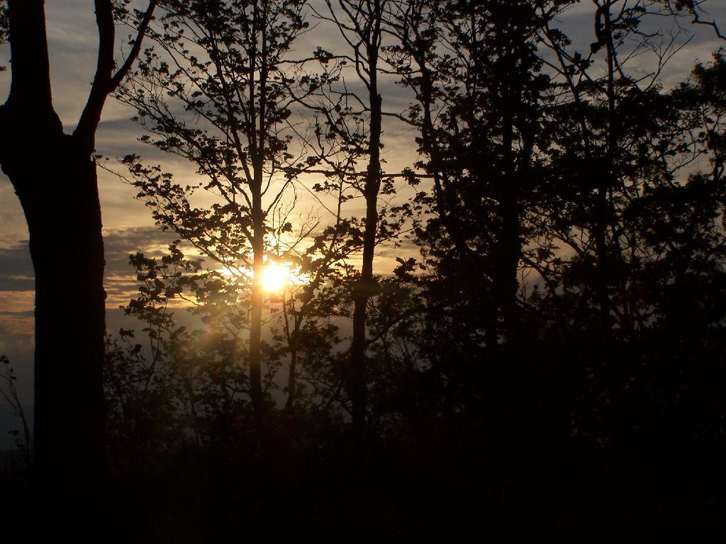
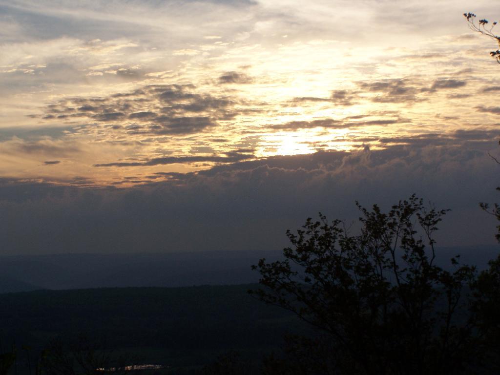
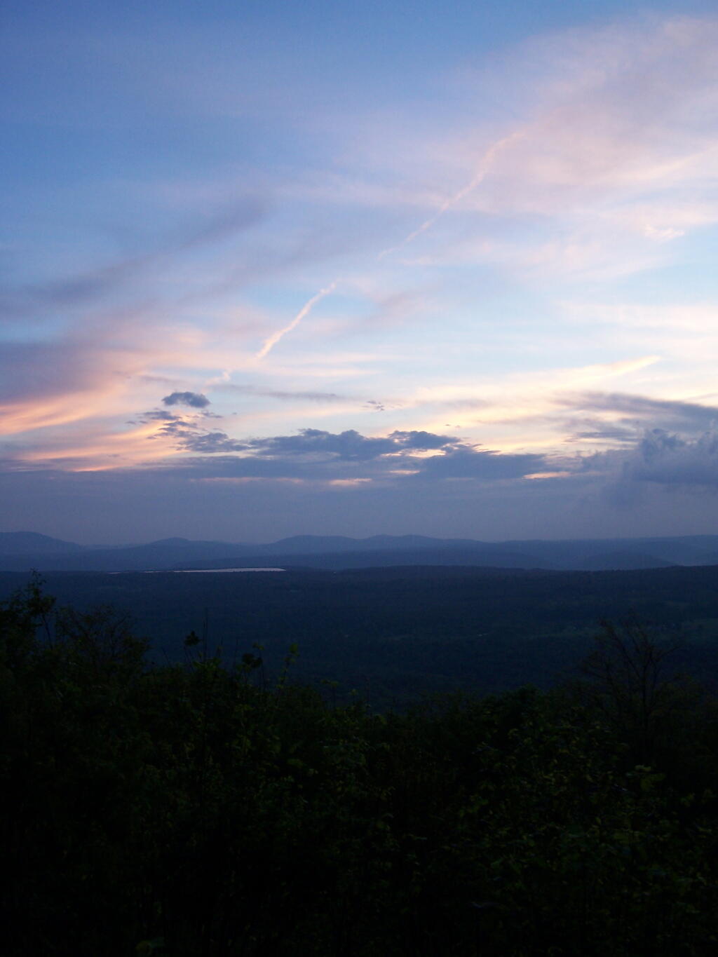
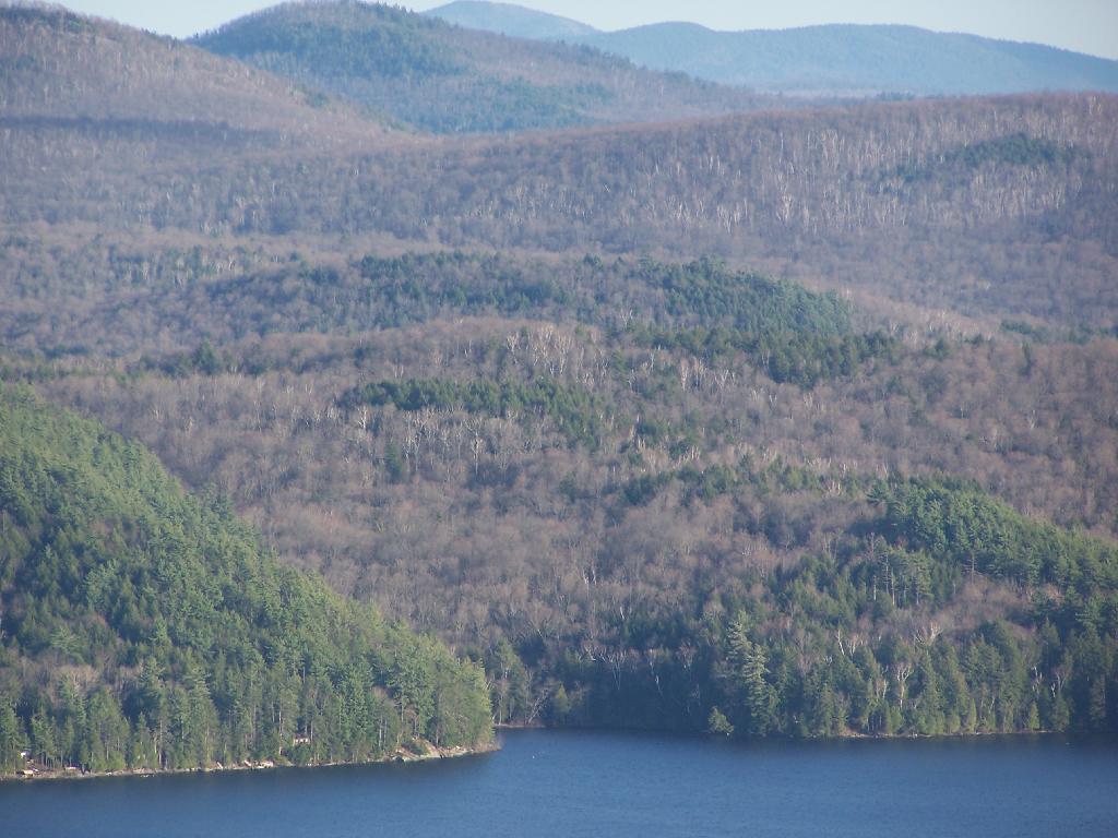
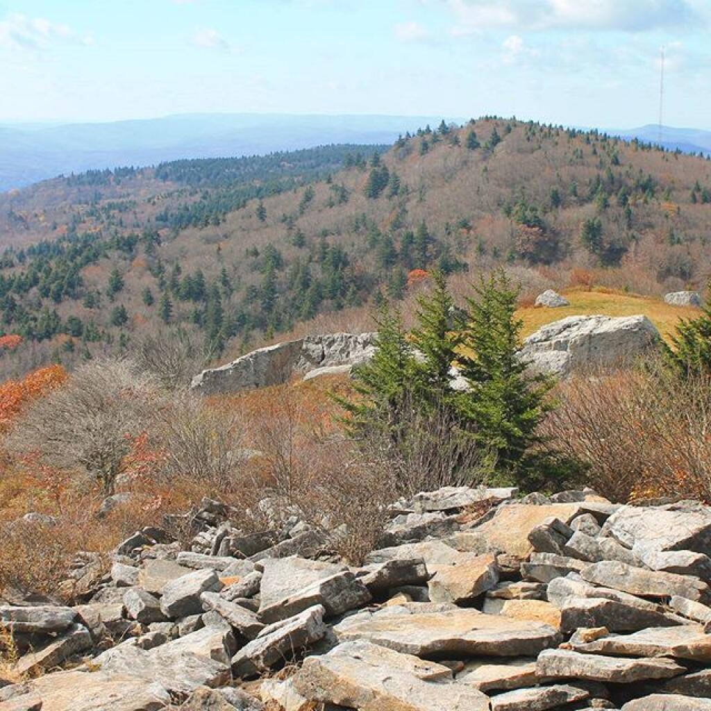
But then again, I was in the highest elevation part of West Virginia, visiting places like Dolly Sods and Spruce Mountain. Great country, but you are up high. Climbing and descending the mountains, really isn’t much fun in West Virginia, especially with a lifted truck with a low gear ratio and somewhat undersized brakes.

South

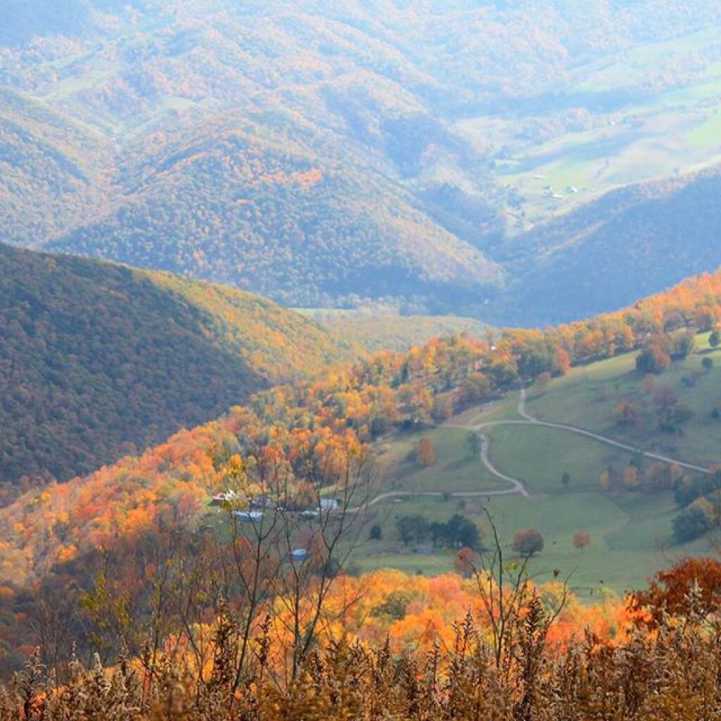
I kind of would love to see that country again, but I think I would try to stay off of some of those hills, preferring to stick to main roads, that go through valleys as much as possible. I would definitely avoid mountain passes, because I really don’t find that driving that much fun, with my fear of having issues with the truck, with no cell service in much of the northern part of state, due to the National Quiet Zone.

Farm in Riverton, WV

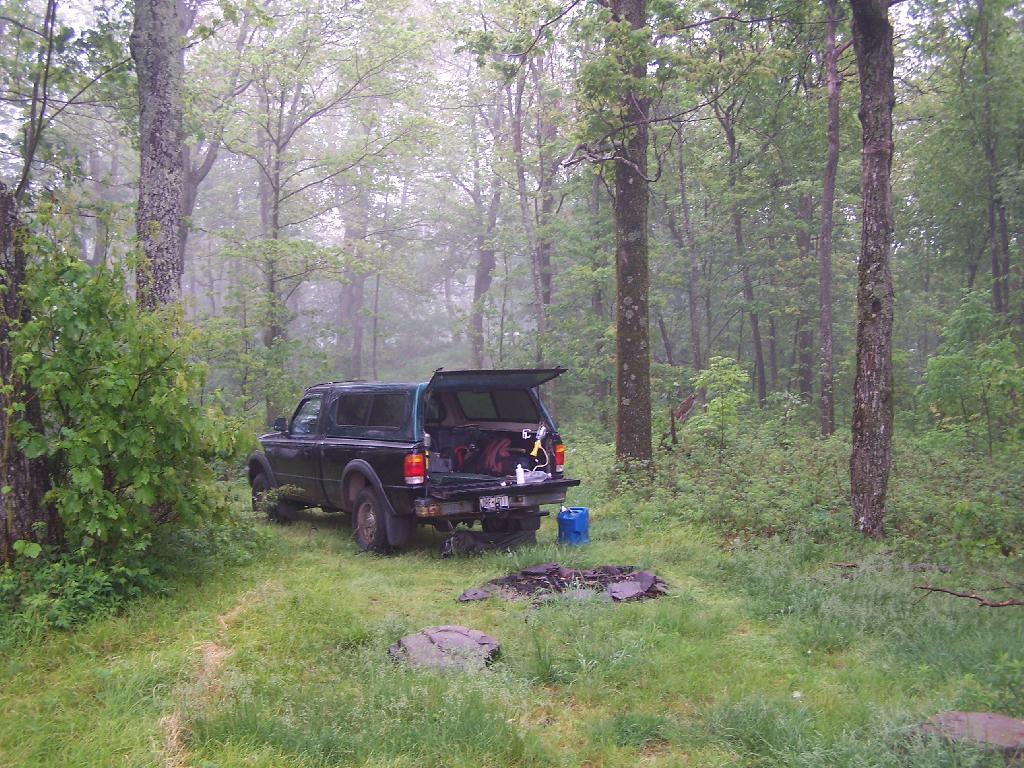
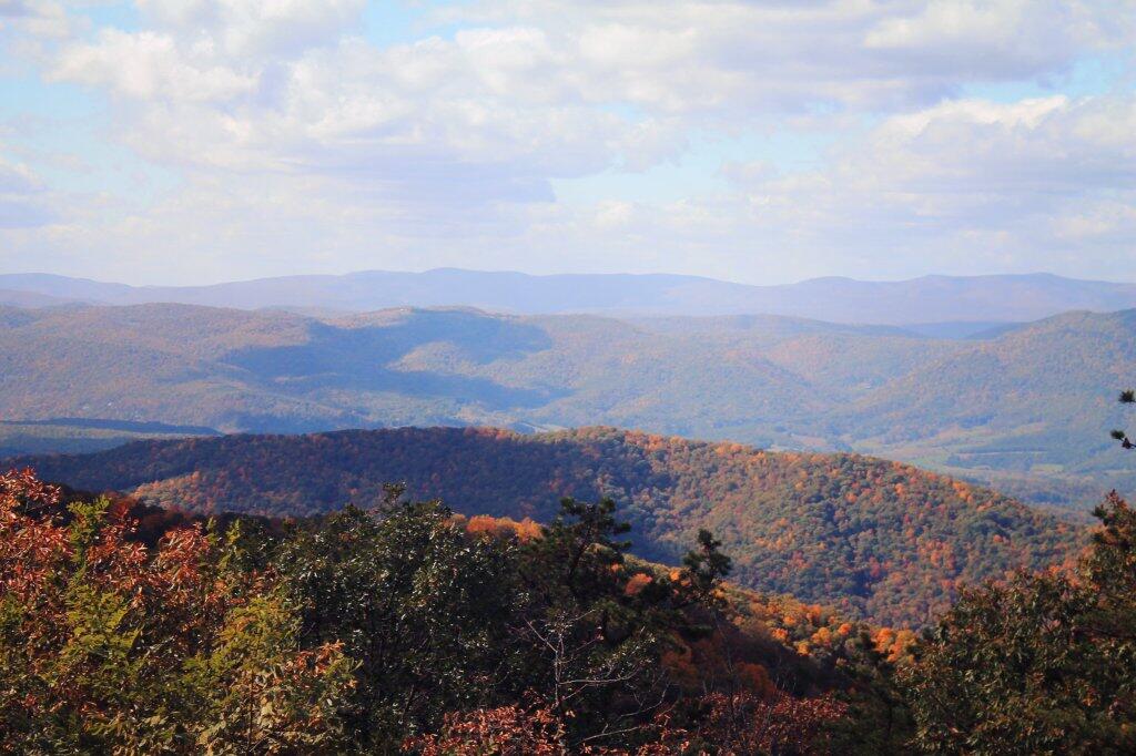
If I do go down there, I will skip Shenandoah National Park. That park was fun to see but I would like to do more of the Blue Ridge Parkway, and head further south. I do need to plan which campgrounds I would stay at, because there aren’t the free camping opportunities along the Parkway, as I might find in Monongahela National Forest in West Virginia. But so be it. I can survive in a lightly developed campground, like North Creek Campground in Buchanan.

Straightaway

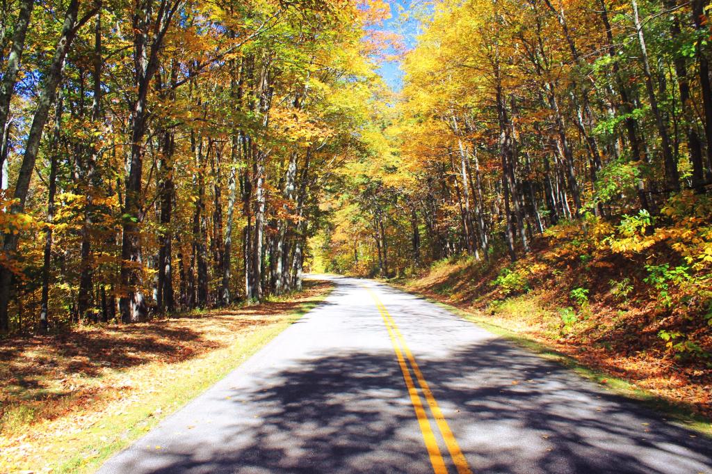
I don’t know how far south I could go on the Blue Ridge Parkway, but at 45 MPH, you can make a lot of distance. The parkway is a fun drive, it lacks the sharp curves and hills that you find in either West Virginia or Skyline Drive at Shenandoah National Park. I got to really hate the hills in West Virginia. I actually found the Blue Ridge Parkway to be the most pleasurable part of my trip, even if there was a lot of speed traps on gently sloping downhills. Cruise control and Waze helps with that.

Road Trip to Coal Country by Nate Matthews

It would be a fun trip. I just got to keep planning, and play it out by ear as the autumn approaches.

Went Down to Huntersland

Today, I decided I wanted to go snowshoeing in the extreme back-portion of Partridge Run, west of Bradt Hollow Road. I followed the ski trails and Long Path from where it crosses Bradt Hollow Road on down to the swamp in the back. I hadn’t been back there in years.

View Larger Map

After the snowshoe hike, I decided I wanted to drive down to Huntersland and poke around for a bit with my truck. Took High Point Road, then Canaday Hill Road down to Huntersland – and remember what beautiful country it is down by Huntersland. It might be generic Appalachian hills, as is seen in a lot of the Southern Tier, but the hills around Middleburgh tend to be particularly high and steep, leading to some remarkably beautiful views.

The Catskill Mountains and Adirondacks are beautiful. But I think little compares to the Appalachians in their beauty – how the tall, often rounded hills, shroud the deep hollows. Run-down houses and farms are often perched on the hills, often overlooking sometimes fast-moving creeks – or as they call them in most of Appalachia – runs.

Huntersland Hollow

On some of the hills, you see more and more large and cabins and houses. On Canady Hill Road there were a few amazingly big mansions, probably owned by wealthy folk who find you can buy rural land in the mountains for real cheap – and get some great views and hunting opportunities to boot.

Exploring a little bit of appalachia, not all that far from my home in Northern Schoharie County.

Sixty Miles of Backwoods Freedom (from 2004)

When is the last time, you just grabbed your camera, filled up your tank, and drove, with few parameters? The only limitations where I wasn’t going to go farther then 60 miles or so round trip, and had a rough idea of going through Rensselaerville SF and Partridge Run.

Well, I tried that on Tuesday. It was kind of a way to escape. I got some really nice pictures, and saw some interesting things along the trip.

First off, was the triangle I came upon. I actually went to triangle intersections β€”they are interesting to photograph, and get a look at them close up. A triangle is a beautiful shape, I must say.

The Road

Then it was west. Big open roads, cruising away. Stop for a shot at Johnnie Cake Road in Rensselaerville, with a picture of a barn and the Catskills in the background.

Scutt Road

I turned down the road, and drove down it, the hills and all. Stopped at the end, and got another picture of the Catskills, facing down 357 (or one of those 350-399 Renselearville Alb County Roads ;). A farm field, with a trailer, bailing equipment, and a bunch of junk in the center. An interesting view, to say the least.

Then it was to the other triangle. No, I don’t remember what the name of these corners are β€”does it really matter? I drive past a farm, with a freshly painted sign advertising their holstein cows. Far better, then the rusty, ugly farm signs that tend to dot the roads.

I have to mention the beauty of the bright blue sky, on the green grass. There is something so nice about spring. And being out where it’s open. And not having a plan.

Catskills from Cheese Hill

Winding down Cheese Hill Road, was interesting. Some interesting views of the valley, and the rolling hills. I stopped to get a picture of the turkey that was on the road, set my parking brake, and reached out with my camera. By then, the turkey was gone.

Plowed Brown Road

Brown Road and Truck Trail 8, near the Cherry Ridge Camping Area. While it's great that it was plowed all the way back here -- to provide access to a private inholding, there was no way to reach Cherry Ridge. I was disappointed, although the camping down at Moscow Hill Camping Area wasn't that bad.

Taken on Saturday April 9, 2011 at Charles Baker State Forest.

Late Fall Camping at Sugar Hill

On my way down to Pennsylvania and on my way back to Albany, I spent a two nights camping out at Sugar Hill State Forest, lower Assembly area. While the area is primarily designed for equestrians, it does offer a person who seeks drive-in camping without a permit in Finger Lakes Region a place to stay.

On the Sunday night driving down to Pennsylvania, there was nobody else around but a bow hunter I saw in the morning. On Friday night, there where a lot of horse owners, because the Upper Assembly-area was closed for the winter. I drove around, hoping to visit the fire tower a top the Assembly area. Unfortunately, it was closed for the year. I did get some interesting shots from Tower Hill Road, heading up there, looking down at Seneca Lake.

Tower Hill Road

On the other side of the ridge from Tower Hill Road, you can see Keuka Lake. It looks a lot different this time of year then in other times of year. I do wish I could have seen it from the fire tower, although I guess the fire tower has limited views due to trees growing up. I could have hiked up to the tower, but it’s a ways back, with the road gated off.

Valley

Next I drove down to Birdseye Hollow State Forest / Sanford Lake. Got lost. I know this time of year you don’t need camping permits for it, but it looked it was only tent sites. Things where pretty grown up, and it was getting late. I ended up driving back up the hill, to Sugar Hill, and settling in at the Lower Assembly area. On Sunday night, all the horse campers had packed up and gone back home.

I proceeded to make baked zita in the dutch oven, over a warm open fire. Somebody had left firewood from the previous weekend, and there was ample dead and down wood nearby in the forest, so I really nice warm fire.

Cooking Dinner

I like the campsites down at Sugar Hill, although I wish they offered more privacy. Yet, I guess that’s not how Assembly areas work at horse camps. That said, on a Sunday evening, there was nobody else around. It was a bit more crowded the following Friday, for my return trip. It was a nice night, and great meal.

Campsite

Morning unfortunately came early, with the change of day light savings time, and it was dark when I set my alarm clock for 6:30 AM. Yet I knew I had a big day ahead, driving down to Pennsylvania, so I was before dawn. But eventually the sun rose over the pines of the Lower Assembly day, and it was a beautiful morning.

Camping Set Up

Sunrise

I packed up my gear, headed across a muddy truck trail to get packed up, took kind of a bath using a tea-kettle with hot water, and I was on my way to Pennsylvania. The camera lens kind of was fogged up from the cold.

Old Canal Warehouse in Chittenango  [Expires November 19 2023]

Campsite

The drive to Pennsylvania was spectular, especially just South of Sugar Hill in Coon Hollow (really a wide valley), with beautiful farms lining the road, and tall mountains surrounding it.

Coon Hollow

As a side note, I also stayed here on Friday, November 12. There where a lot of equestrians that where using the area by around 9 PM, with lots of horse trailers. Many came late. This Lower Assembly area doesn’t get much use in the summer, compared to the Upper Assembly area, but this time of year with the Upper Assembly area closed, many where down here for the weekend. Weekdays, you’ll probably be alone camping here — especially in the winter.

Here is a map of Sugar Hill.

Love this view of Cornplanter Bridge

Truck Camping On Leonard Hill

Up by the Leonard Hill Fire Tower, there is a clearing cut into the hillside, and an area where there is a little fire place, and some grass that never grows that tall. It’s obvious that people camp up here from time to time, to enjoy the beautiful sunset, and myself I’ve been itching to watch a sunset from here for some time.

Watching the Rain Come In

While on June 5th, the weather was somewhat cloudy, as thunderstorm after thunderstorm came rolling through the valleys and mountains alike, it actually turned out to be a remarkably beautiful evening. with a beautiful sunset into the clouds. The views from Leonard Hill where as spectacular as always.

The Truck

Looking at my camping set up.

Looking at the Campsite

The rain lead to some beautiful misty sky scapes, especially as the sun was lowering in the sky. Here is Rossman Hill, where I had camped deep in the valley the previous night.

Rossman Hills in the Fog

And here Blenheim Mountain with the Blenheim Upper Power Project Reservoir above it.

Blenhium Mountain

It was windy up there, but the little White Gas Coleman Stove did just find boiling the water for the pasta I was cooking up for dinner. I did stick it behind this little rock to provide a little more shelter from the wind, but regardless cooked it quickly.

Cooking Dinner

With the wind racing up the hill with coming front, I kept the fire very small and a lot of water nearby. It had been raining throughout the day, so things weren’t particularly flammable, but with the winds being so strong, it was a bit frightening.

Sitting at a Campfire

I watched the sunset into the valley while the very small campfire roared away with the winds whipping away. It wasn’t particularly cool, but by 8 PM, I did feel it neccessary to put on a long-sleeved shirt.

Rays of Sun Through the Trees

The sun setting through the trees.

Sunsets Through the Trees

With the clouds starting to over take the sun.

 Sun in the Clouds

And eventually a front comes through, making the sun set before it normally would, quite far to the north, over Rossman Hill.

Front Covers the Sunset

The view after sunset. You can just barely make out the mountains, from Utsayathana to the left, to Blenheim and the Reservoir in the center, to Burnt-Rossman Hills on the right.

After Sunset

The truck truck and camping gear after dark.

Camping on Leonard Hill

Awaking in the morning to pounding rain, which fortunately let up into a relatively thick fog by the time I got up in the morning. Here is a view out the back window of the truck cap.

First View This Morning

My “night stand” in the truck. Books, radio, flashlight, even fan. I’m as well prepared as I would be at home for sure. That light has only a 9-watt florescent bulb in it, although if I ever needed more light, I have two other lead-lamps with 26-watt florescent in them to illuminate the night.

Under the Cap

Packing up my gear on the foggy morning.

Getting Up and Packing Up Gear

The rain and fog pretty much obstructed the view by morning.

Rain Looking Off Leonard Hill

The farther I got down the mountain, the worst the weather got on the truck trail. A little farther down the mountain, the fog was so bad, I had to drive really slow with my truck.

 Driving Down Truck Trail in Heavy Fog

Here is a map of where I camped on top of Leonard Hill.

Severence Hill in April

One month after my first hike up Severence Hill, I decided to do another “cool” down hike up this mountain. In only a month, the look off the mountain had changed quite dramatically.

Here is Paradox Lake on March 7, 2010.

Paradox Lake Area

Here it is on April 11, 2010.

 Paradox Lake

With the Adirondack Snow having melted in the past month, things looked a lot different for sure. Things where already starting to show some signs of spring, and life, even if the Adirondack Winter still had another month to go before casting off it’s winter.

 Schroon Lake

I must have spent an hour staring down at Schroon Lake, just pondering the Adirondacks and possibly moving out west. It was such delightful weather out there, and while I was tired from a day hiking, there was so much beauty with the setting sun. I had no reason at all to rush back to Albany, having no commitments when I got back home, except to get ready for the next day at work.

Steep Bay

This hike, while short has so much beauty. Looking down at Steep Bay (part of Pharoah Mountain Wilderness) on Schroon Lake.

Hatchhack and Allered Hills

Then one last look at Hatchhack and Allered Hills to the south, silhouetted by the setting sun, as I descended the mountain, and headed back to Albany.


View Severance Hill Hike in a larger map