Search Results for: "Map:" South Pond

Wolf Pond Trail

The Wolf Pond extends 2.3 miles feet from the trailhead to the outlet of Wolf Pond on the southern shore. This new trail is gently rolling and easy to navigate trail. A new lean-to is located up a short spur trail on the
southwestern shore of the pond. Wolf Pond provides scenic views of the High Peaks and surrounding mountains, as well as excellent fishing opportunities. The 59-acre pond is home to native strain stocked brook trout.

DEC Map can be found here: https://www.dec.ny.gov/docs/lands_forests_pdf/wolfpondhikingmap.pdf

Headwaters of the Unadilla River

Wetlands and ponds outside of Columbia Center in the town of Columbia in rural Herkimer County make up the headwaters of the Unadilla River, which feeds the Chenango River and ultimately the Susquehanna River and the Chesapeake Bay. Run off a feedlot or a septic system here goes into loading the Chesapeake Bay, hundreds of miles to the south. 

Glassgow Pond – Hillabrandt Vly

Places to explore in the southern Adirondacks off the beaten track. Just be aware the snowmobile trail can be very swampy in the springtime.

Bourn Pond

The Bourn Pond Trail skirts the western edge of Branch Pond and then enters the Lye Brook Wilderness. The trail travels along an old railroad grade and reaches south end of Borun Pond. Sections of this trail can be very muddy and may not be suitable for hiking during wet weather.

Hiking to Rossman Hill Lean-To

I’ve camped up at Burnt-Rossman State Forest a couple of dozen times. It’s one of my favorite places to go out truck camping, with it’s remote and quiet nature, and while I had known from maps that there was a lean-to up there, that one could hike to, I had never actually visited it. I had spent the previous night tent camping, and being up early, decided to check out the lean-to.
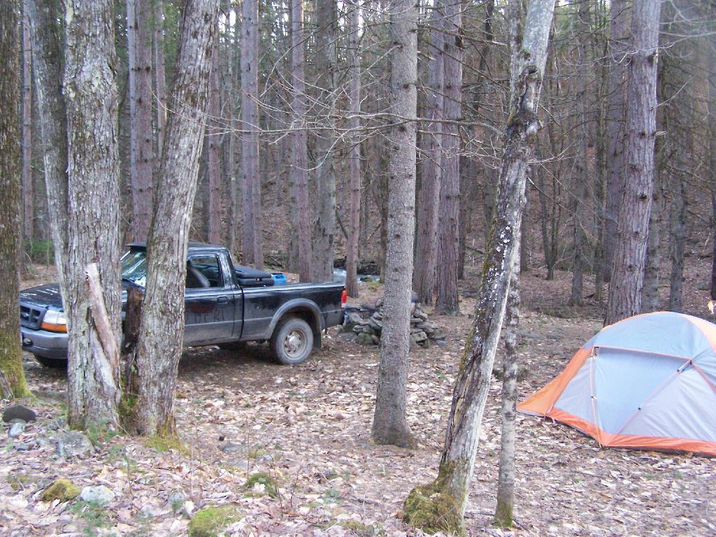
Campsite

The lean-to is located on the section of the Long Path that crosses Morey Road, just south of Rossman Hill Road, right next to the old cemetary. Alternatively, you can access the lean-to from Burnt Hill Road, just up the hill from where Duck Pond Road splits off. The lean-to is located about a 1/2 mile from either road. Regardless of which way you choose to go, it’s a nice level hike through marshes and old timber stands.
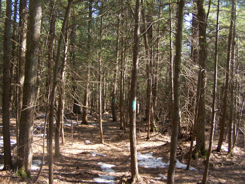
Through the Woods

And old woods roads…

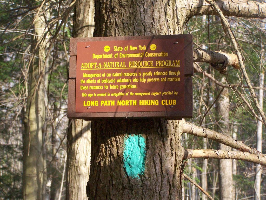
Adopt a Natural Resource

As you past by the headwaters of the Cole Brook, which ultimately helps feed the Schoharie Creek.
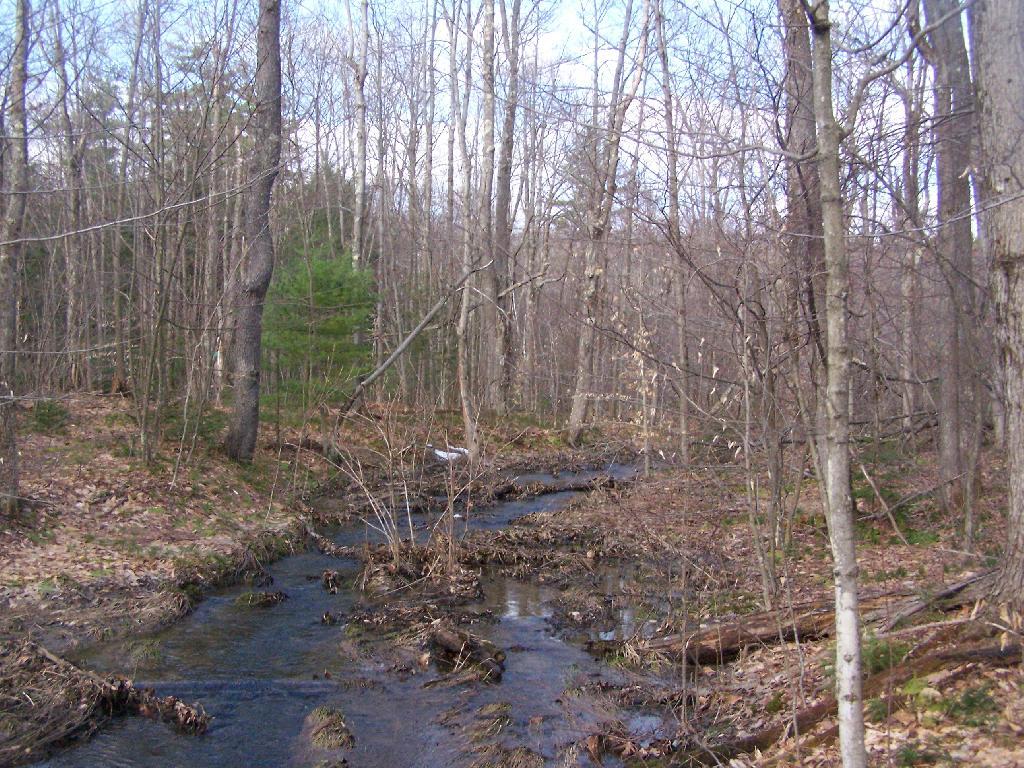
Headwaters of Cole Brook

And the lean-to is really nice looking and only used occassionally, mostly by the locals.
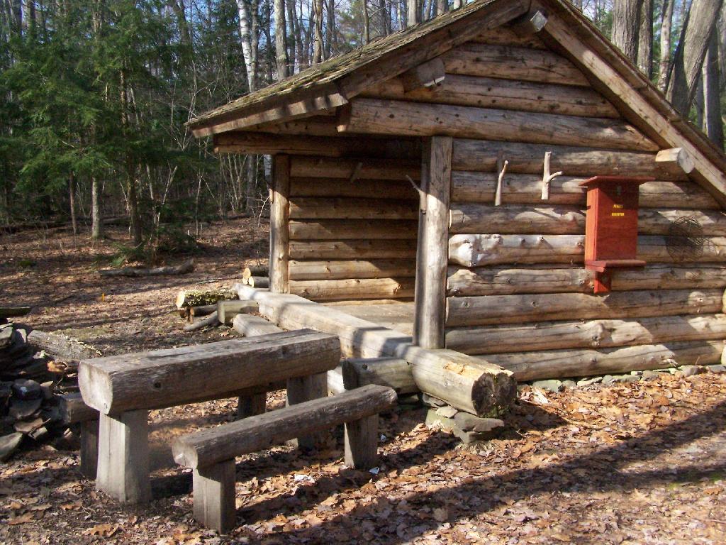
Lean-To Side

And it’s nearby a spring, or at least a marshy area that never gets wet.
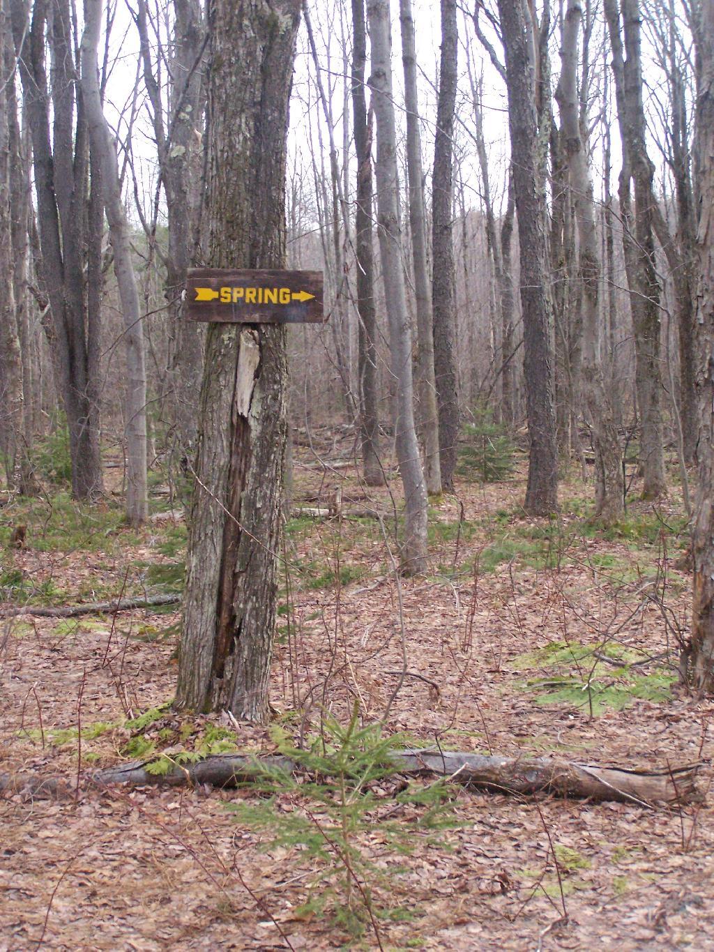
Spring

It’s definately some place I would like to stay some day.
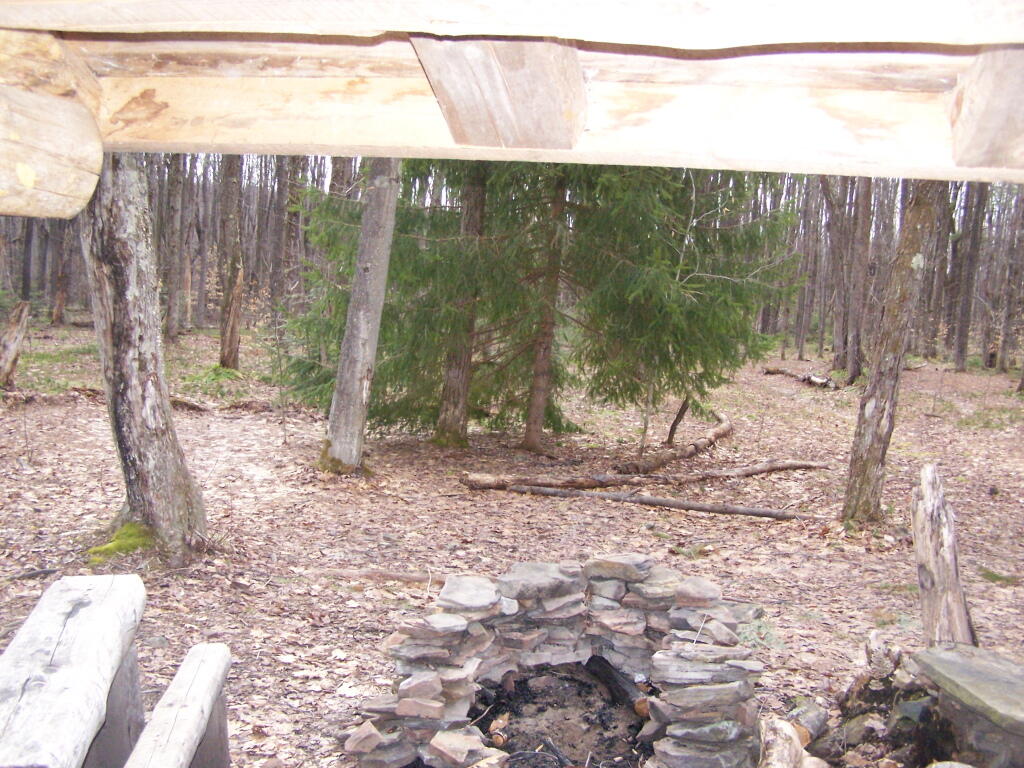
 Looking Out the Lean-To

Here is a map:


View Rossman Hill Lean-To in a larger map