Search Results for: photo fire 4
Balsam Lake Mountain Fire Tower
Last weekend, after hiking up to Slide Mountain, I decided to drive another 30 minutes west to Balsam Lake Mountain. This was the final fire tower in the five remaining trails in the Catskills.
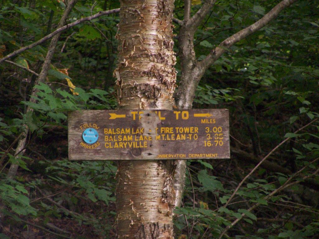
Across from the Dry Brook Parking Area is the blue trail heading south to the Balsam Lake Fire Tower. It is not well marked, but there is one sign that points across the lot, then this well worn sign at the start of the old woods road that leads to the fire tower.
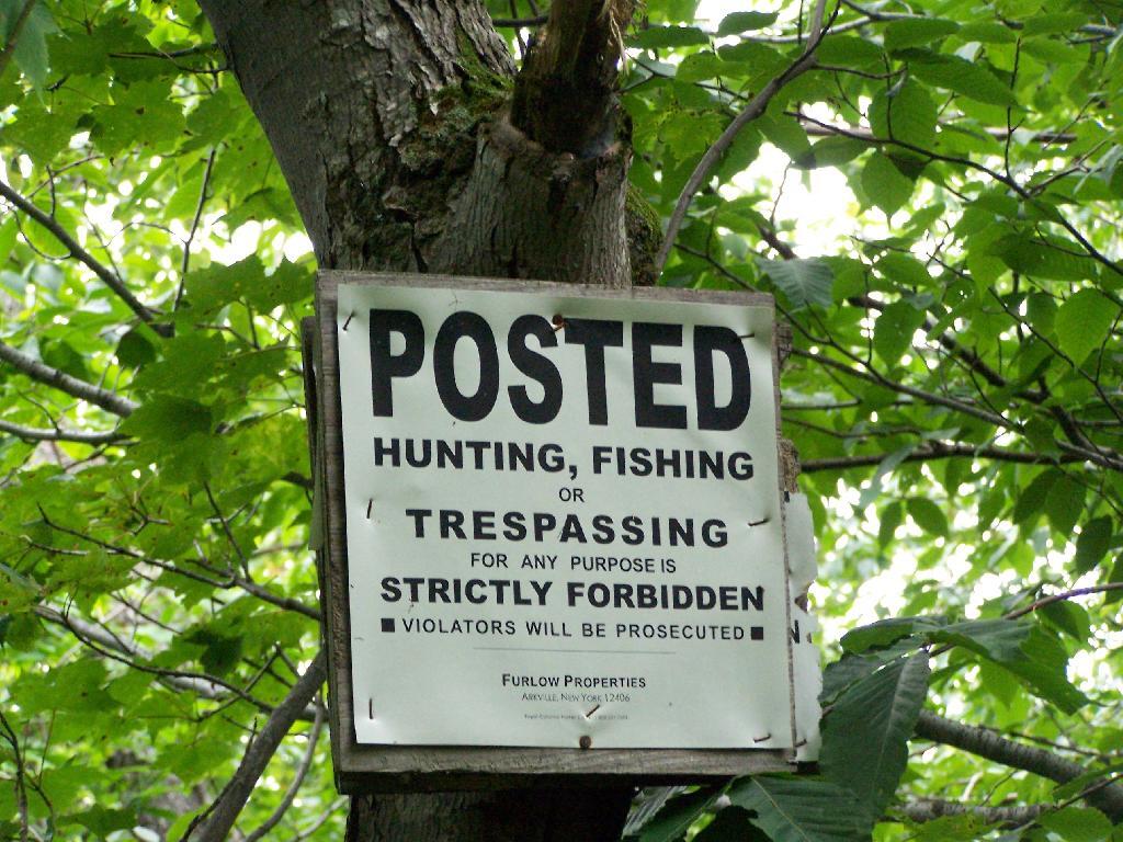
The first 2.25 miles of the trail runs entirely through private lands, and is heavily posted. There is also very few blue markers, so don’t be surpised until you reach the kisok that you feel you are on the wrong trail.
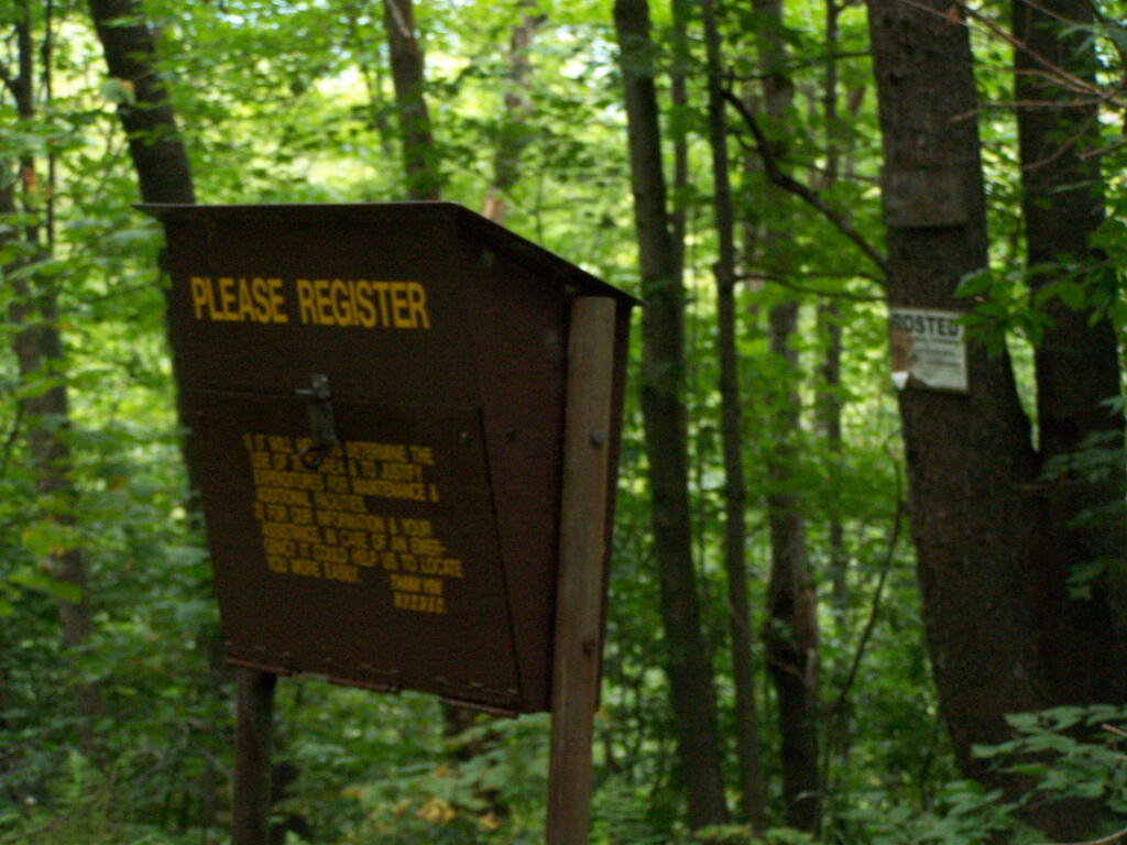
Seeing this was very re-assuring, as I signed my name into the book, and knew I was on the real trail. The kiosk is set about 1/4 mile back from the road. But if you’ve seen the first sign, your okay, as you’ll eventually reach the kiosk.
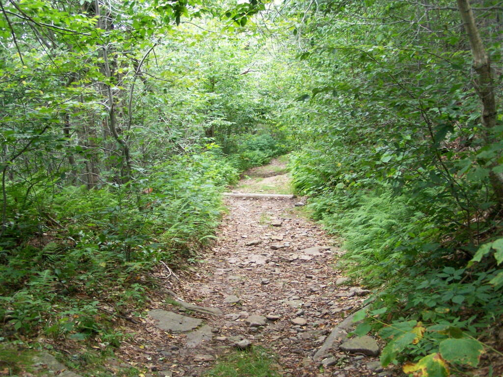
Here is a picture of the old woods road. When the tower was open, the Ranger could drive all the way up there. Today, you can technically drive in until you get to the start of the state land, although it would be rough without a pickup. This trail is not particularly steep.
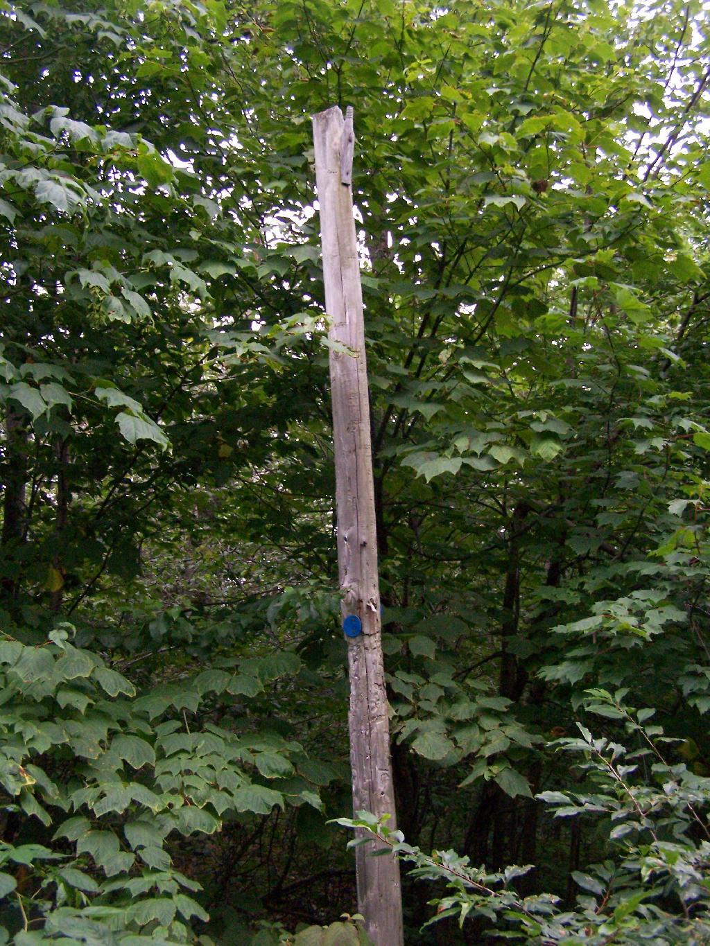
Along the trail is several old telephone polls, used to carry telegraph and/or telphone lines up to the way up it.
At 2.25 miles you reach the intersection of the blue and red trails, the red one that takes you to the tower. It might be only 3/4 miles to the tower, but you still have to go an additional 600 feet in elevation, on a trail with several moderately steep uphill.
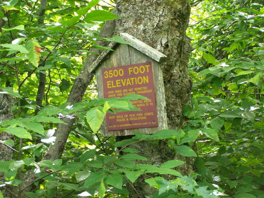
At 2.5 miles you reach the Balsam Lake State Forest, and about a minute later, you reach the 3,500 elevation mark.
You climb and you climb, and the trail opens up. You think your at the top when you here, but your not. Think about hiking for another 15 minutes.
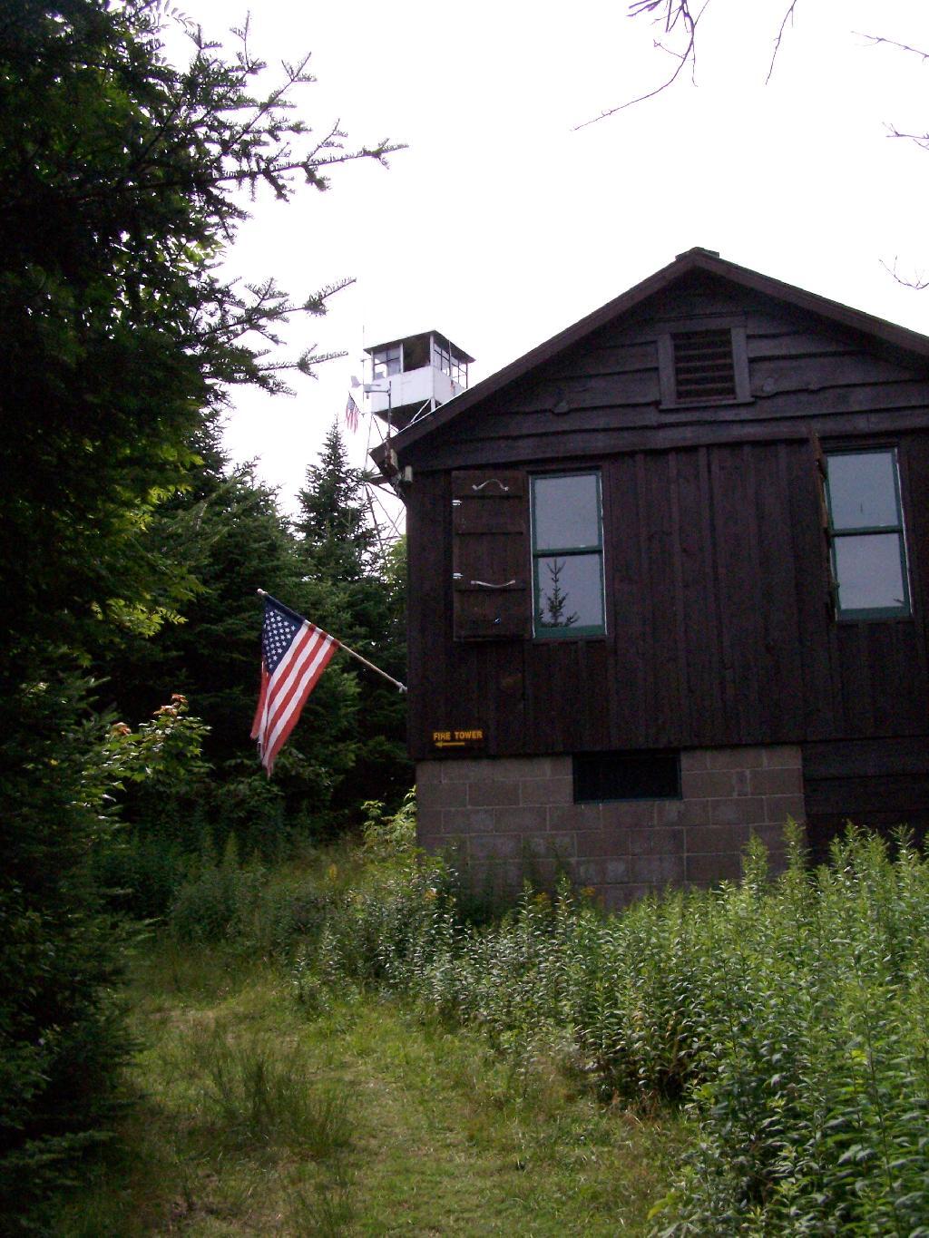
Finally, you see the Ranger’s station and the tower. This makes you happy, especially if you climbed Slide Mountain before this.
The fire tower is staffed on summer weekends, and the cab is open for inspection. At the Ranger’s cabin, there is historic posters from back in the day when the tower was staffed.
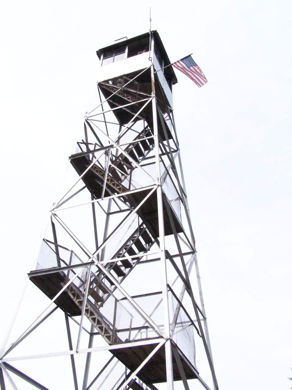
Here’s the tower against the very grey sky.
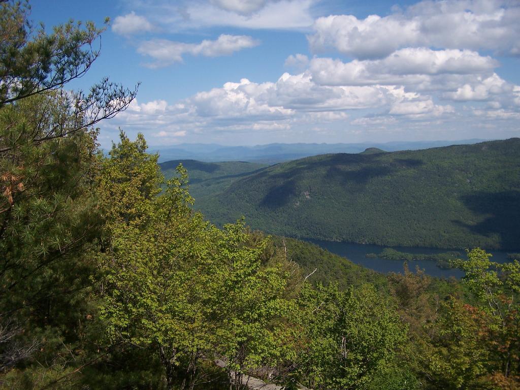
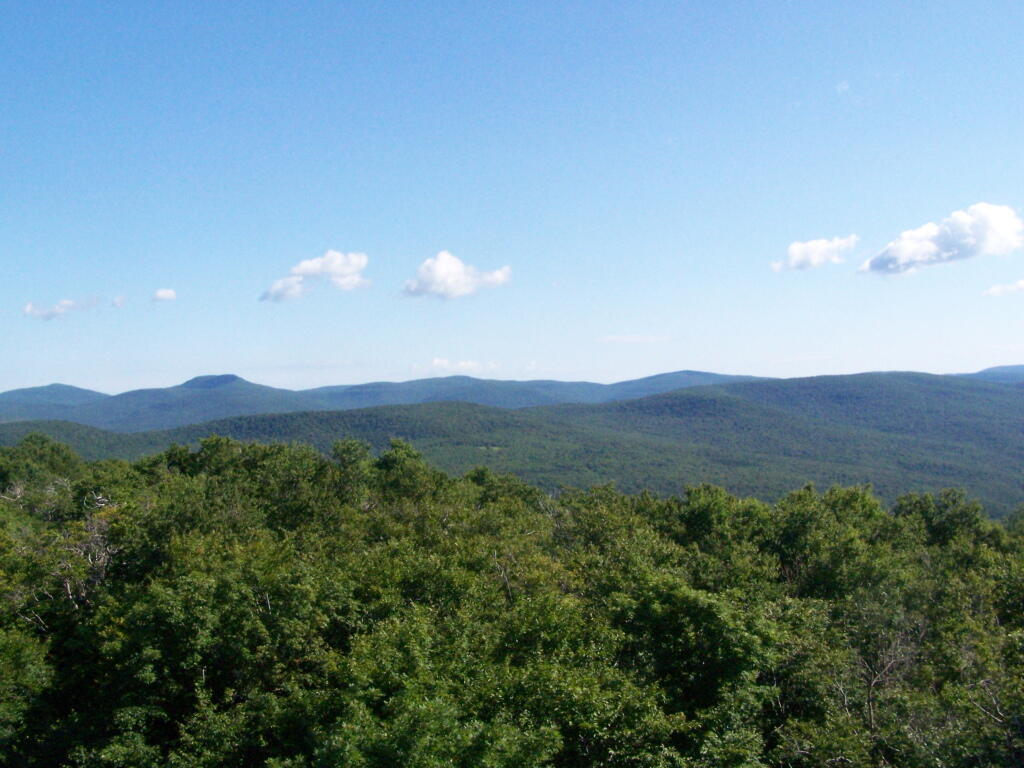
There are some views from the tower, but not super interesting or exciting. Maybe if it was clearer, with deep blue skies it would be a lot purtier.
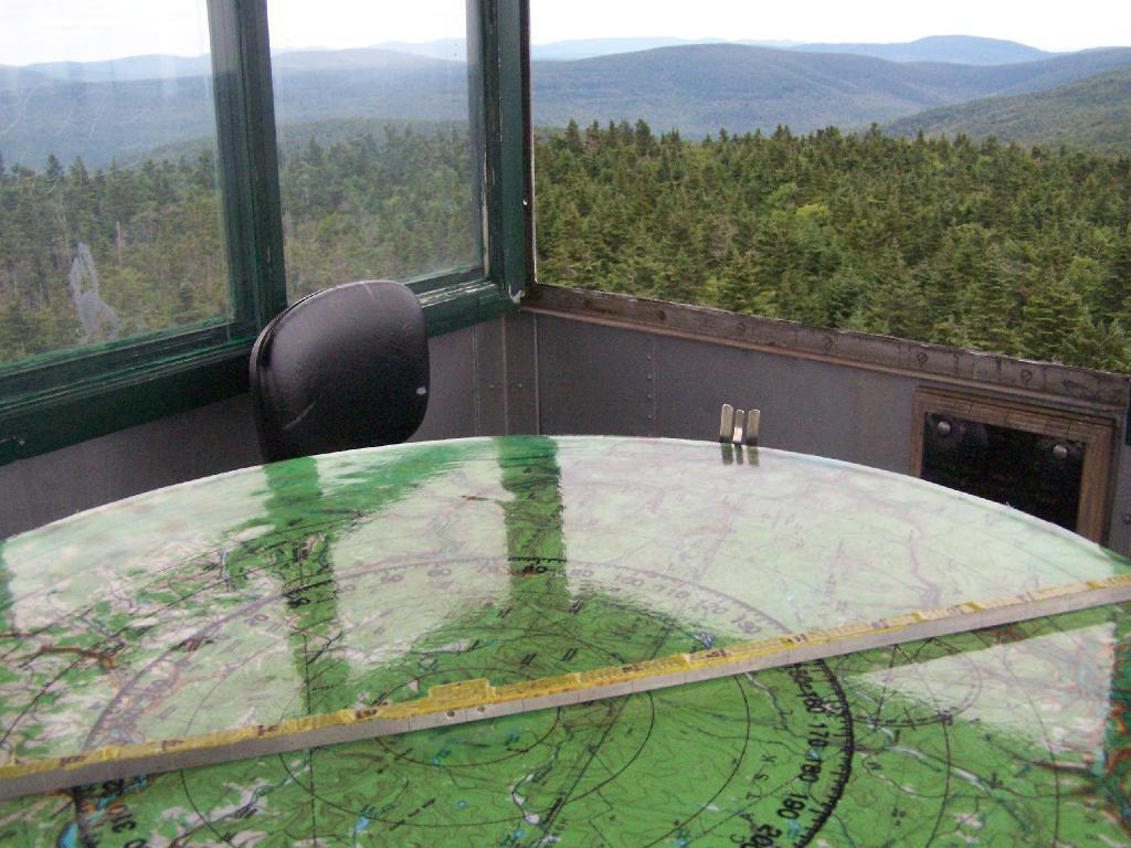
Here is the inside of the cab of the tower. There is a fixed map to help the ranger in the past observe where a forest fire was, and then call down to the firefighters.
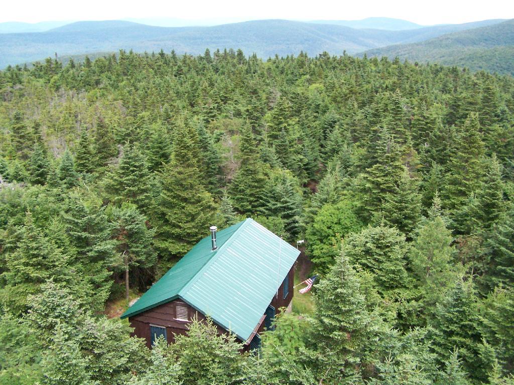
Here’s the Ranger’s Cabin from up top in the tower.
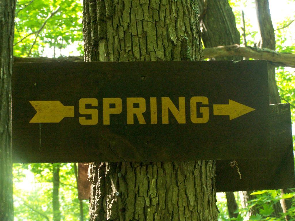
About 200 feet lower, and a 1/4 mile to the south, there is a spring. Also nearby is a lean-to, that is popular on the weekends.
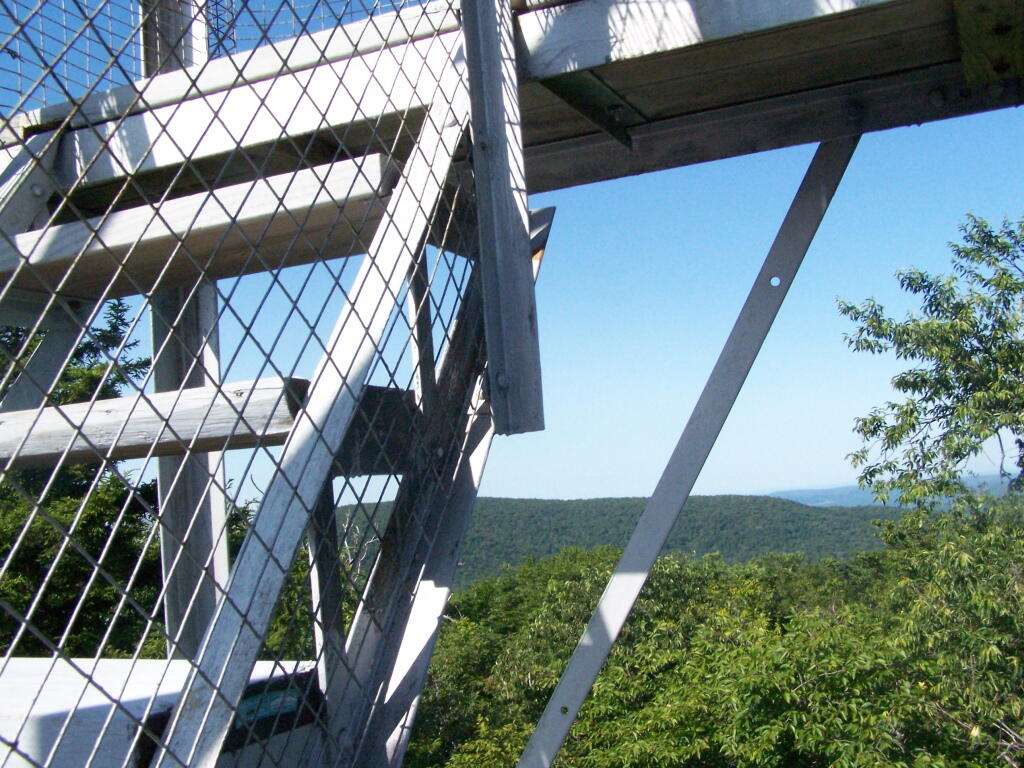
The fire tower steps.
Here is a map of the hike that I took.
View Hikes of 2009 in a larger map
Red Hill Fire Tower
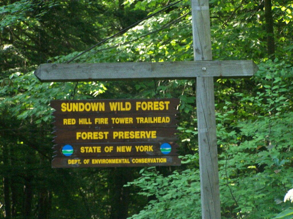
The Red Hill Firetower is on a relatively small in-holding of land by the state of New York that’s part of the larger Sundown Wild Forest. This was the forth Catskill firetower I have visited in recent weeks. I hiked on a beautiful Monday, which I had decided to take a vacation day on.
Red Hill is the easiest firetower to hike up to in the Catskills, even if it’s one of the most difficult to drive from the Albany-area. It is located outside of Grahamsville, about 10 miles North-West of Rondout Reservoir. There is only local dirt roads and windy county roads that run from NY Route 55, which itself is certainly not an expressway.
View Firetowers I’ve Been To in a larger map
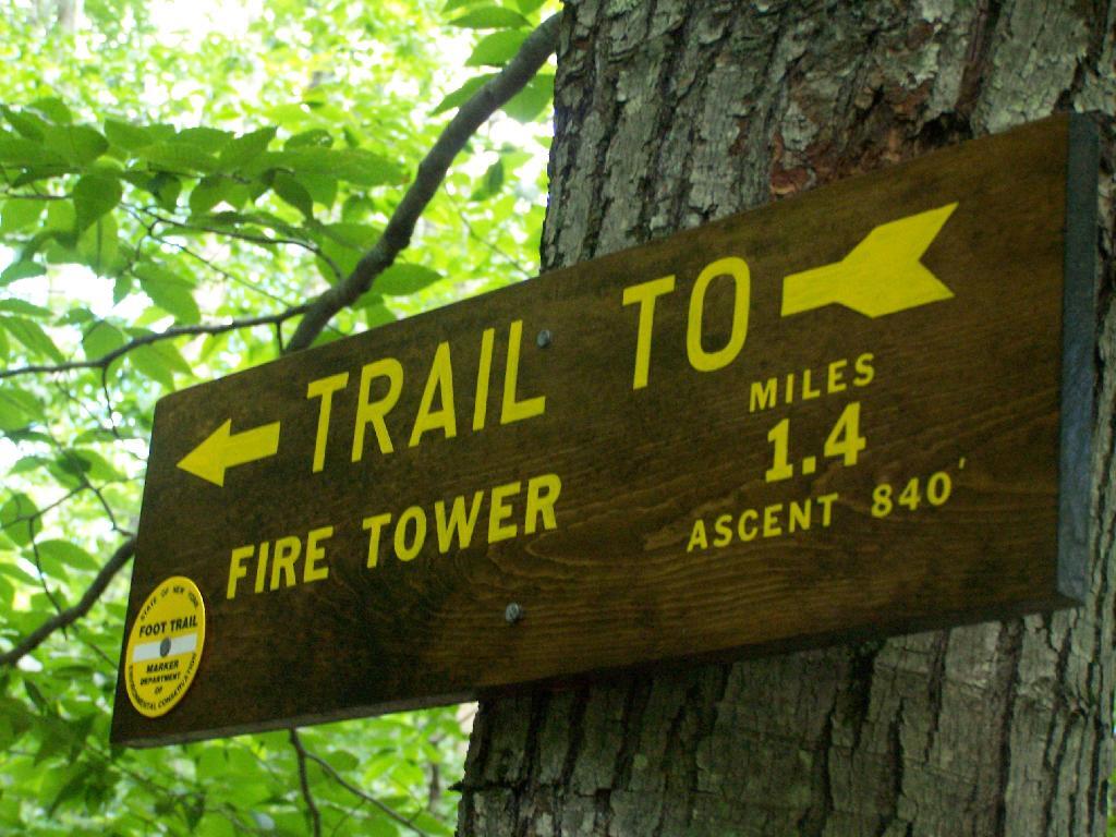
Here is a sign telling you it’s not a tough walk.
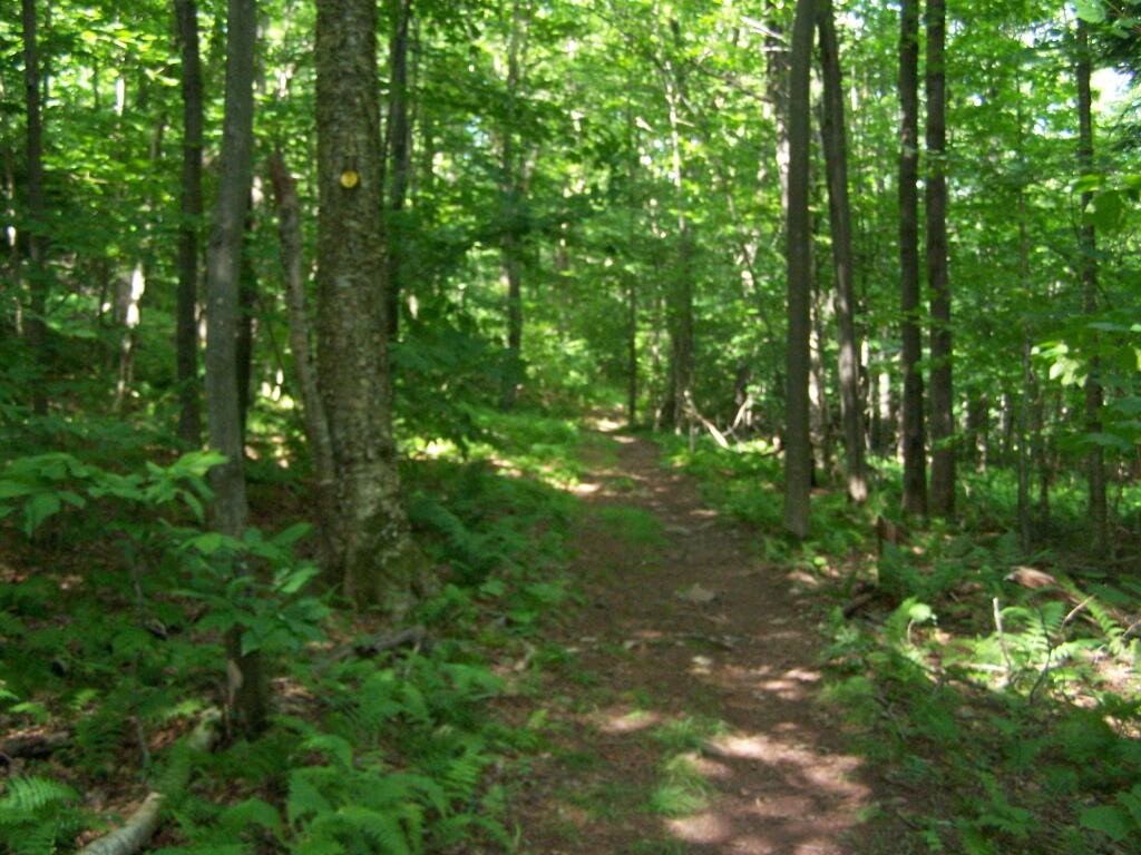
This is typical, relatively flat trail which you walk on for the first 9/10 of a mile.
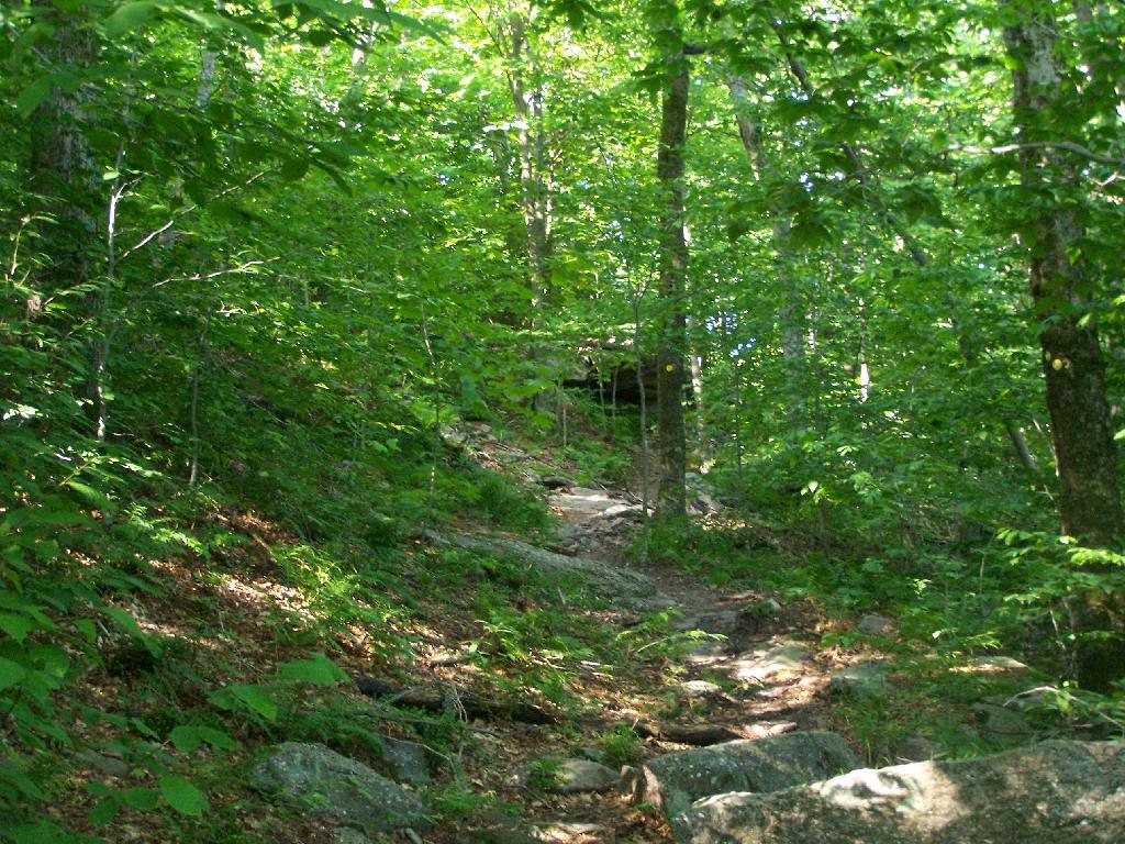
The last 1/2th of a mile is relatively steep compared to the first part, maybe gaining 400 feet in elevation, and you’ll have to stop and breath a few times as you go up towards there.
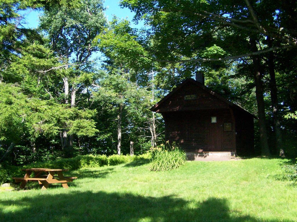
When you reach the top, there is an Ranger Station (open weekends) and several picnic tables. There are big signs saying fires are prohibited due to the fire danger, when the grass is dry. That should be a no brainier, but in the summer and winter, it seems a bit absurd. Must be a bad experience from years ago. There is no outhouse, you’ll have to walk off into the woods to find a place to squat and do your business.
This is the tower, directly across from the Ranger Station. It is staffed on the weekends.
The views aren’t anything to write home about, unless you want to see mountains that are less then remarkable in the distance. This is to the north.
Red Hill is the southern edge of the Catskills, and as you can see looking to the south, the landscape is quite flat.
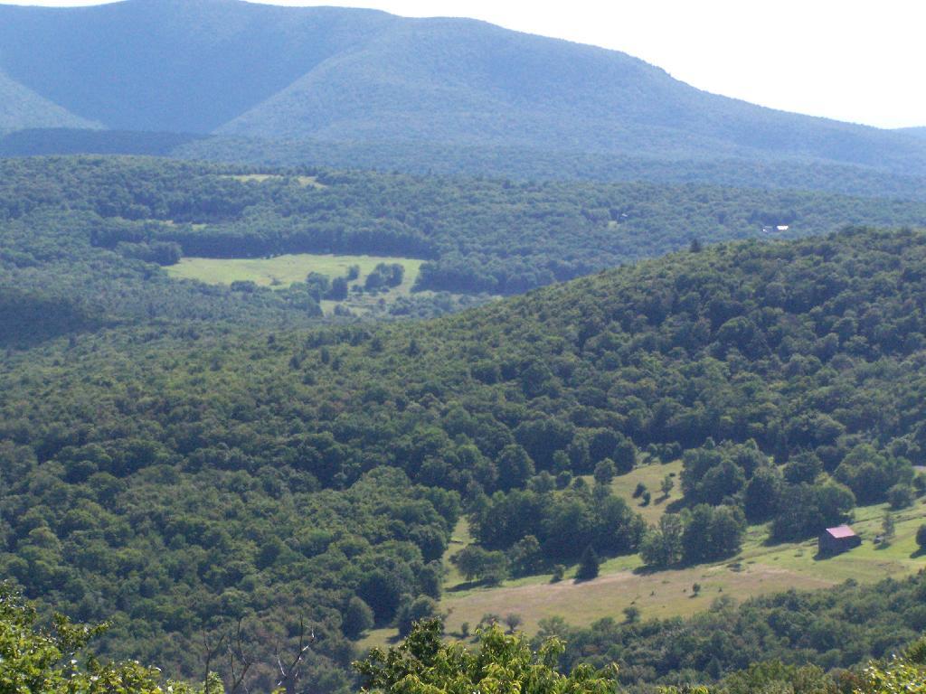
Most of the area around the tower is heavily wooded and owned by either the State or New York City DEP Water. There are a few farms around, especially looking west.
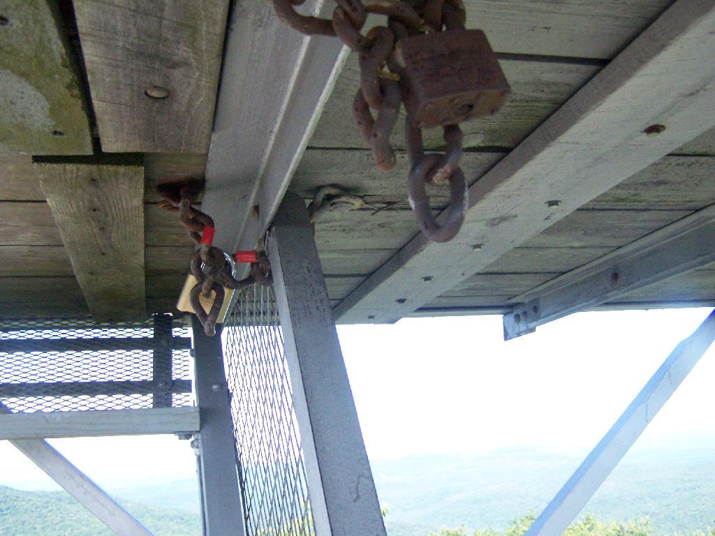
On the weekends, you can go into the tower’s cabin. Weekdays it is closed, supposedly because of vandalism. It’s bullshit if you ask me, because who drives 125 miles into the sticks and hikes 1.4 miles to vandalize an old tower? Mount Tremper is open.
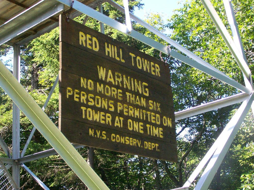
Despite the lousy views (it’s a relative term), the fire tower must be popular, or so the many signs that warn people the tower can only support six people.
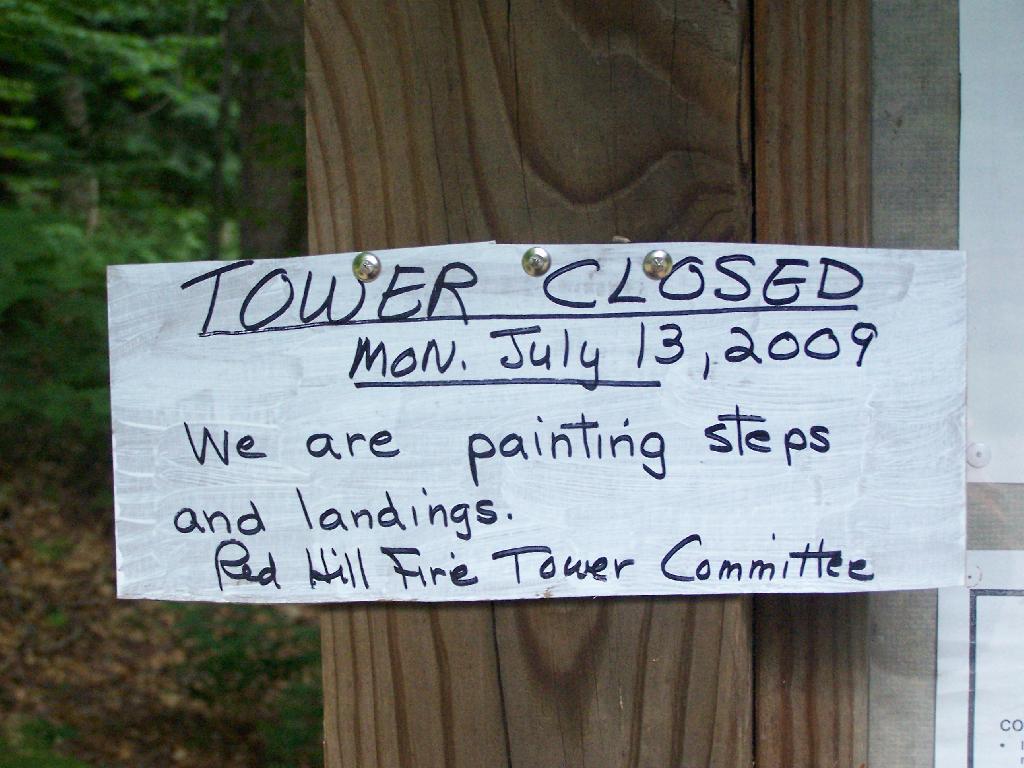
When I was leaving the fire tower I happened to hear an SUV coming up with the former Ranger (now a private individual). They where planning to paint the tower steps on Monday. He offered to unlock the tower, but I was inpatient, and he wouldn’t let me do it with the keys myself. I don’t know if I or him was being more of a dick.
After I left, he closed off the tower, because he was painting the steps.
Here’s a map of the route to the fire tower.
View Hikes of 2009 in a larger map
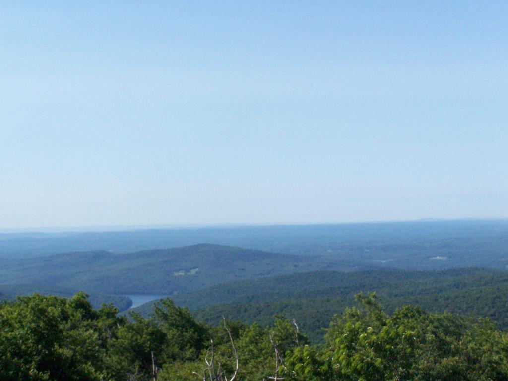
This gives you an idea of what you see from the tower. Most notably, Doubletop Mountain and Rondout Reservoir. Nothing really super impressive though, just mountains and very little civilization in this rural part of Sullivan County.
View Firetowers I’ve Been To in a larger map
Sugar Hill Firetower & State Horse Camp
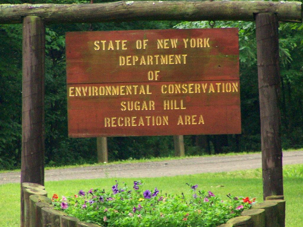
The final night of my Finger Lakes Trip I spent the night up at Sugar Hill State Forest, a series of 9,500 acres of state land, popular for horse owners. This parcel has two main camping areas, about 90 miles of horse trails, 3 lean-tos geared to equine users, and one nice new lean-to that is accessible solely by foot.
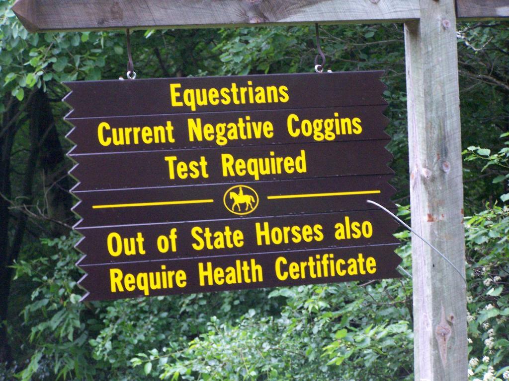
You don’t see signs like this located in downtown Albany.
This is all conveniently located about 15 miles from Watkins Glen, at the headwaters of Townsend and Glen Creeks that make up the water that flows through the Glen.
While I didn’t spend a lot of time going around and grabbing pictures of the Horse Camp, I did take some pictures and have some from when I visited this area during the previous summer. This was in part because the last day was rather gray, with heavy rain at times, and I was frankly quite tired.
There also is a firetower at the main horse camp area, which is filled with RVs, horse trailers, and horses during the summer weekends. This is shown below:
View Hikes of 2009 in a larger map
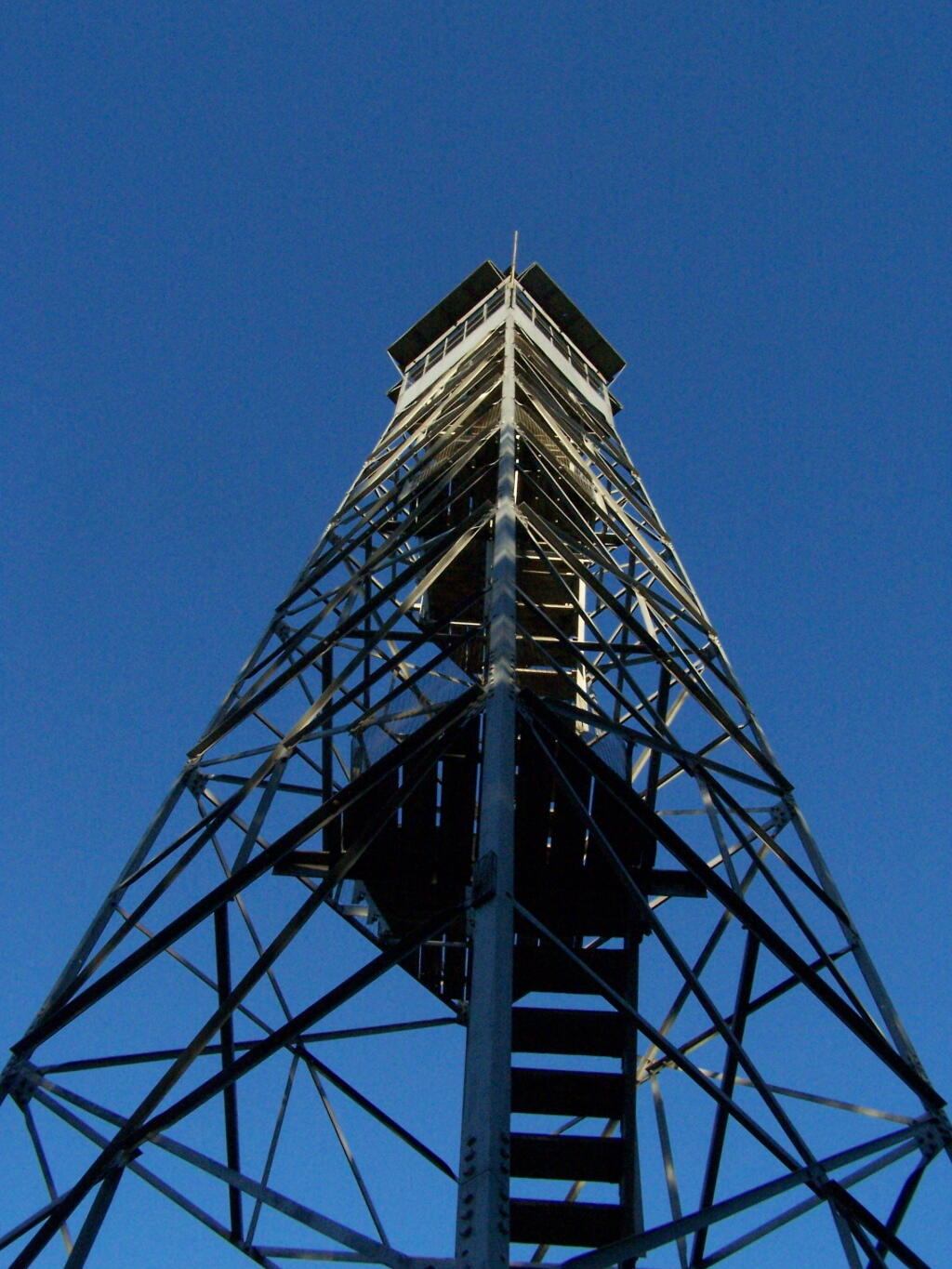
Here is the fire tower:
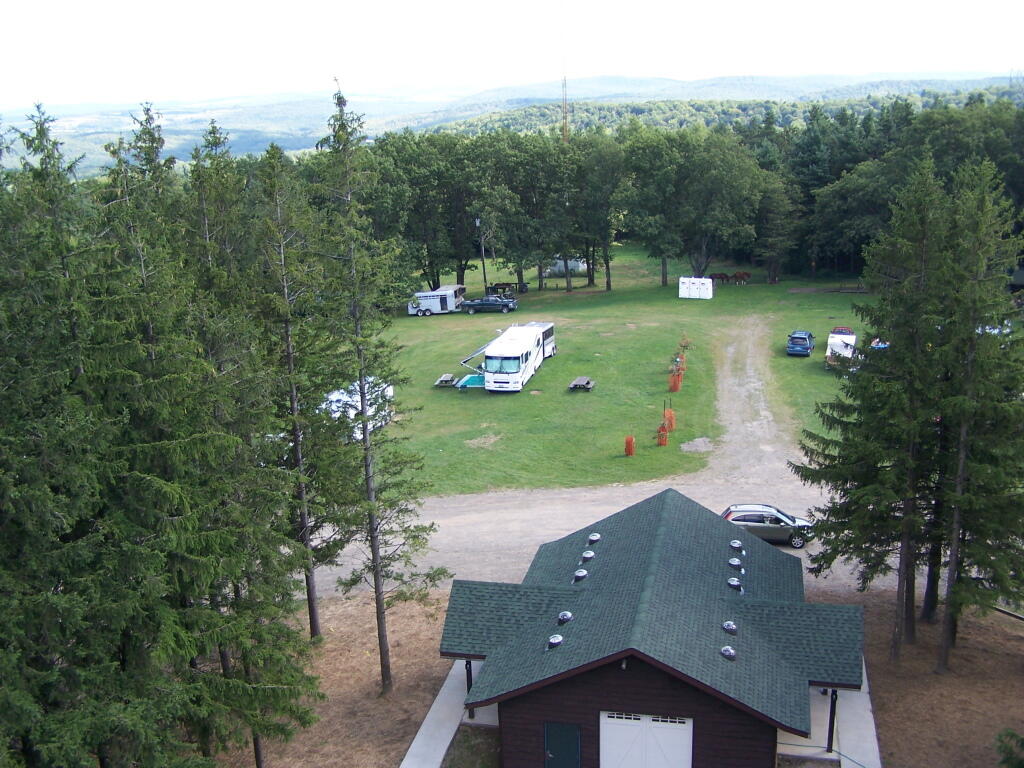
Here is the main horse camp, with new bathroom facilities including flush toilets. This was installed two years ago due to the popularity of the horse camp and contamination concerns by the overuse of the conventional pit privy.
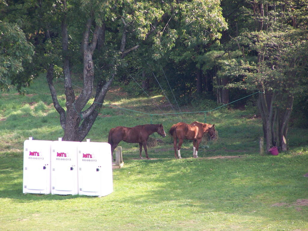
Horses tied up. I took this last year, when they where still building the replacement bathroom for the pit privy, and therefore the porta-potties.
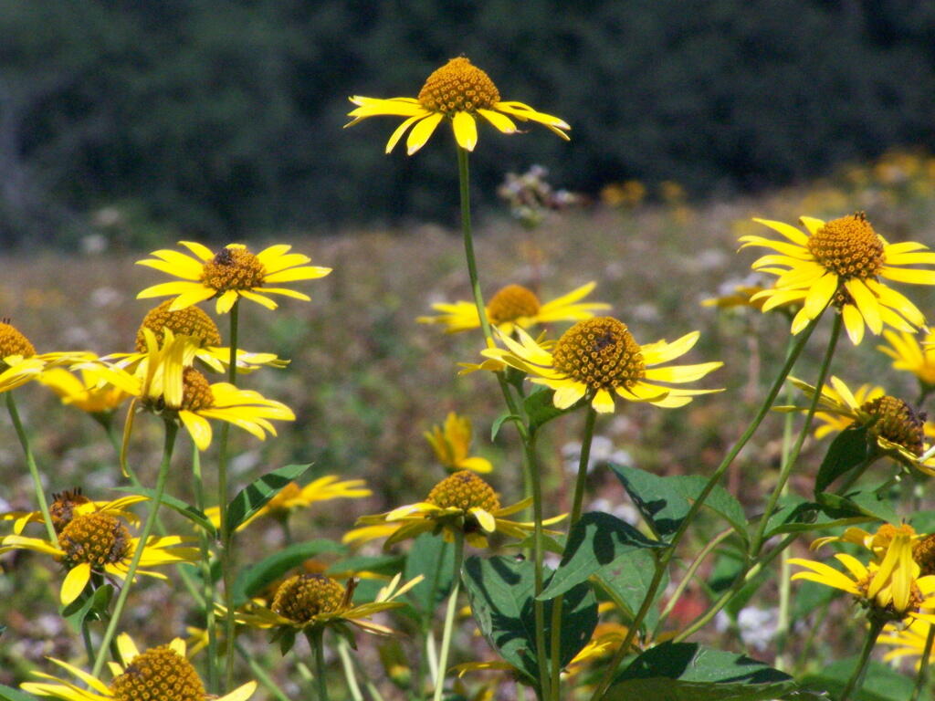
Some wildflowers noticed along a short walk…
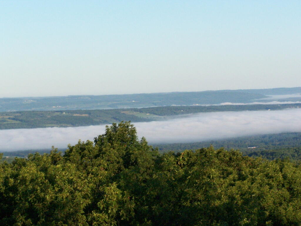
A bed of fog over Kueka Lake from the Firetower from last year.
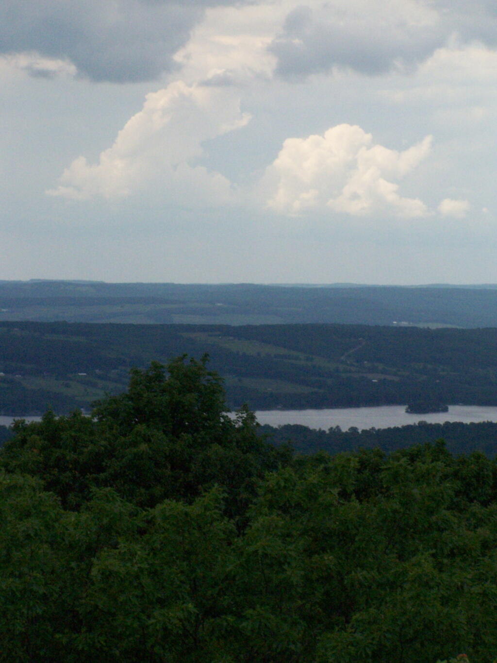
Thunder clouds approaching from the west from the Firetower. It was not of course thundering when I was on the tower. I’m not that stupid.
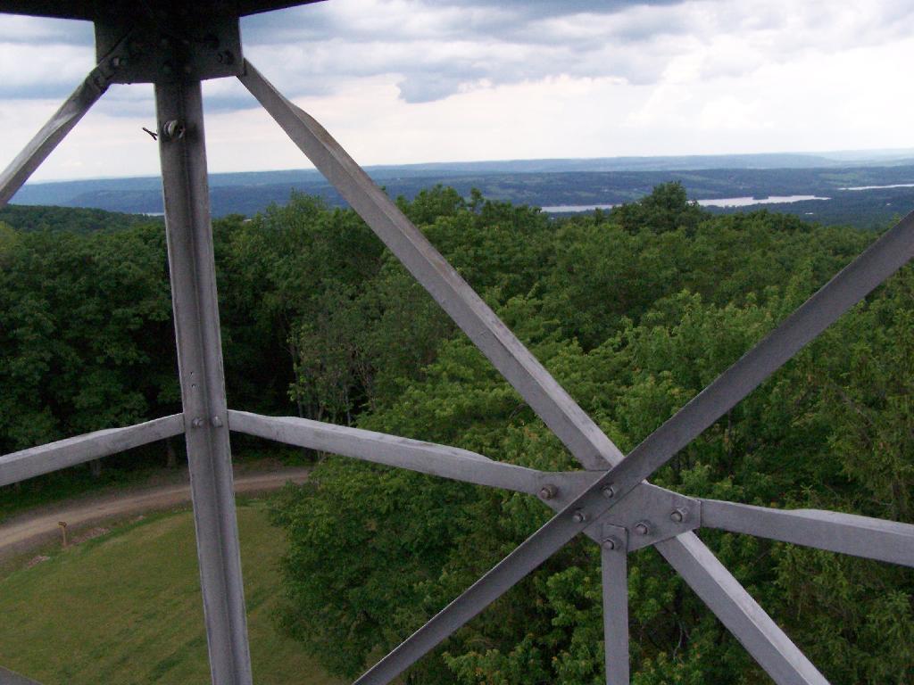
Descending the firetower, looking east towards Seneca Lake.
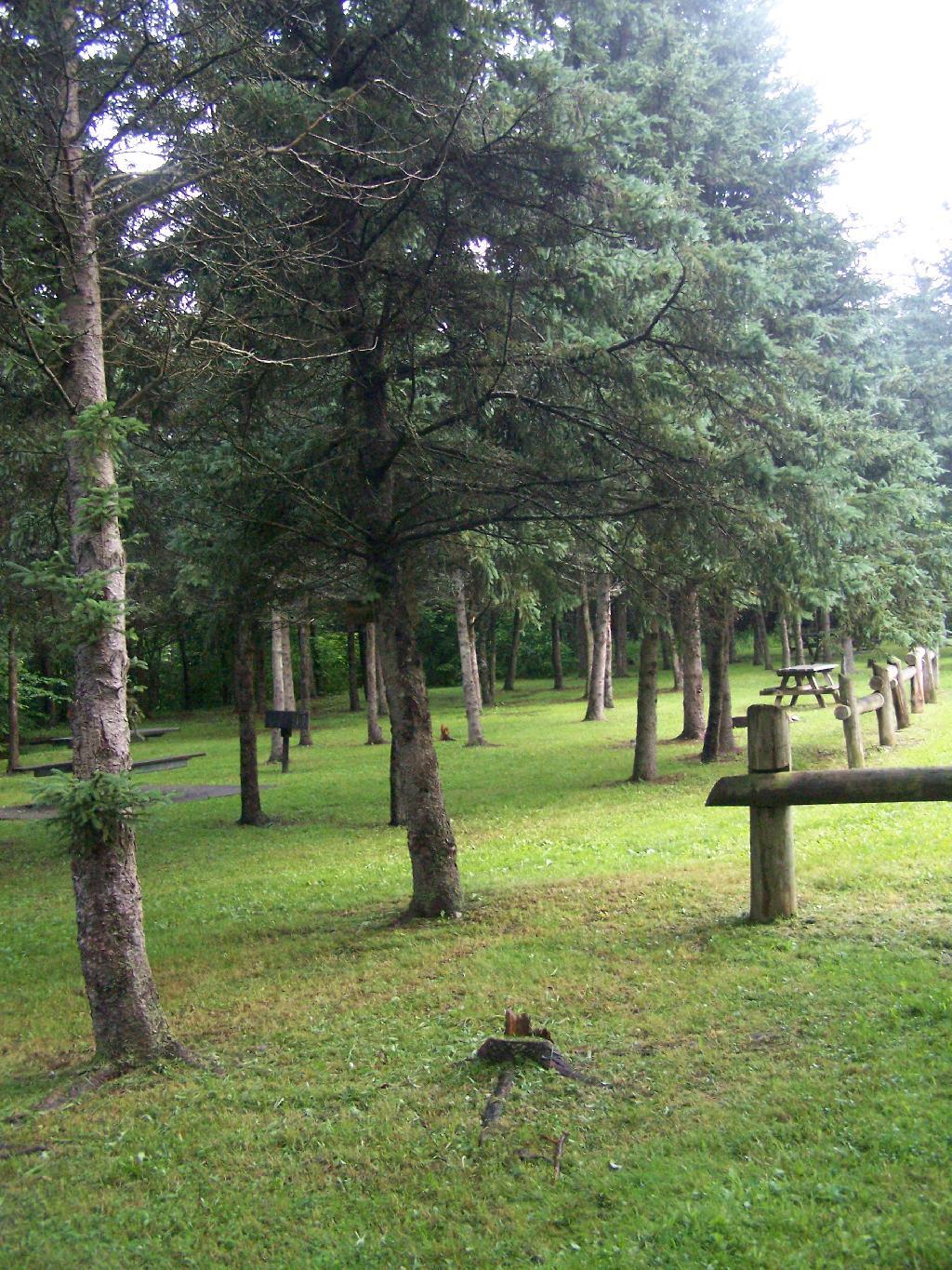
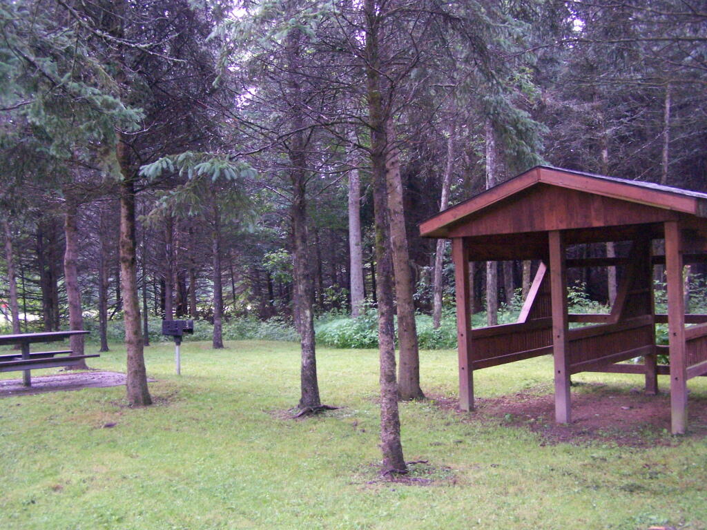
Rather then camping at the main horse camp, where there where several people set up with horses, I decided to camp at the lower area, which is much less popular, but as nice if not nicer.
They still have lots of things for the horse owner to use.
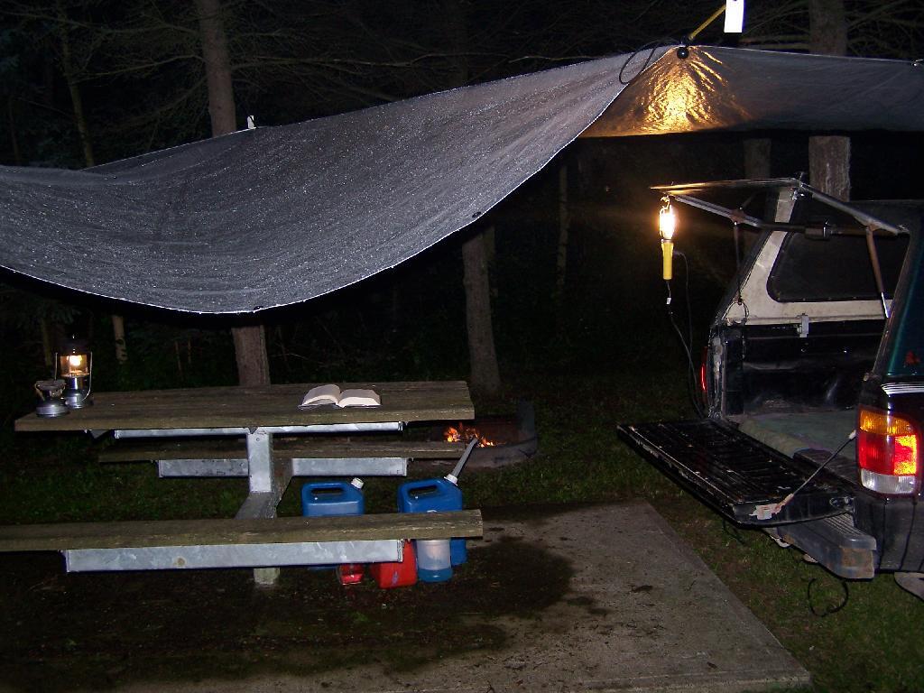
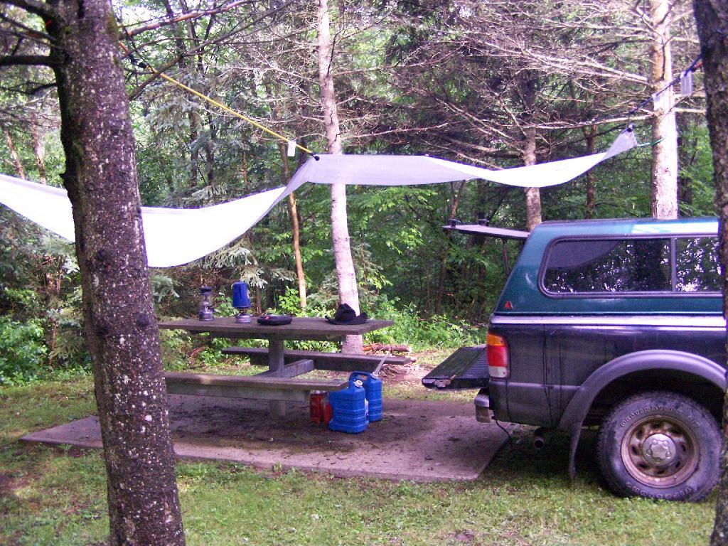
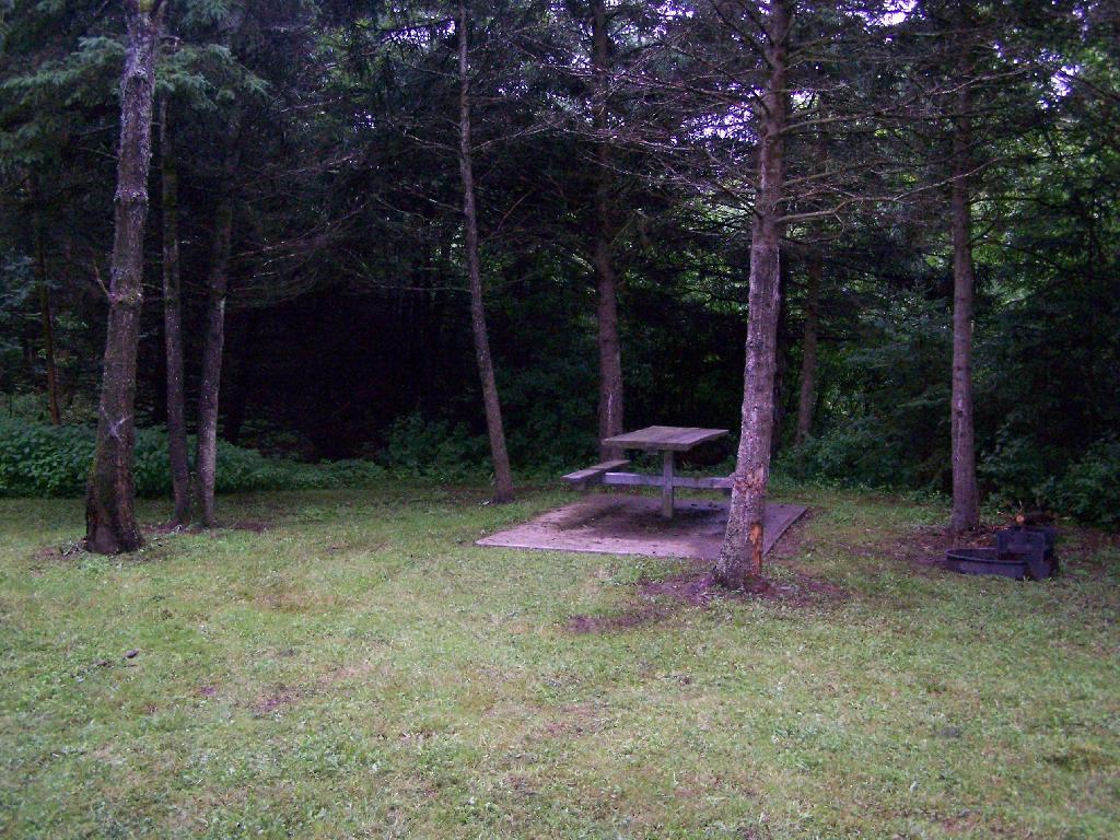
In the evening it started to rain. It didn’t bother me much, as I had the tarp over my truck and the picnic table, and thanks to the cement base under the table, there was no mud or muck to get kicked up.
This was my camping arrangements, as seen in the morning. Not bad, especially for a free campsite.
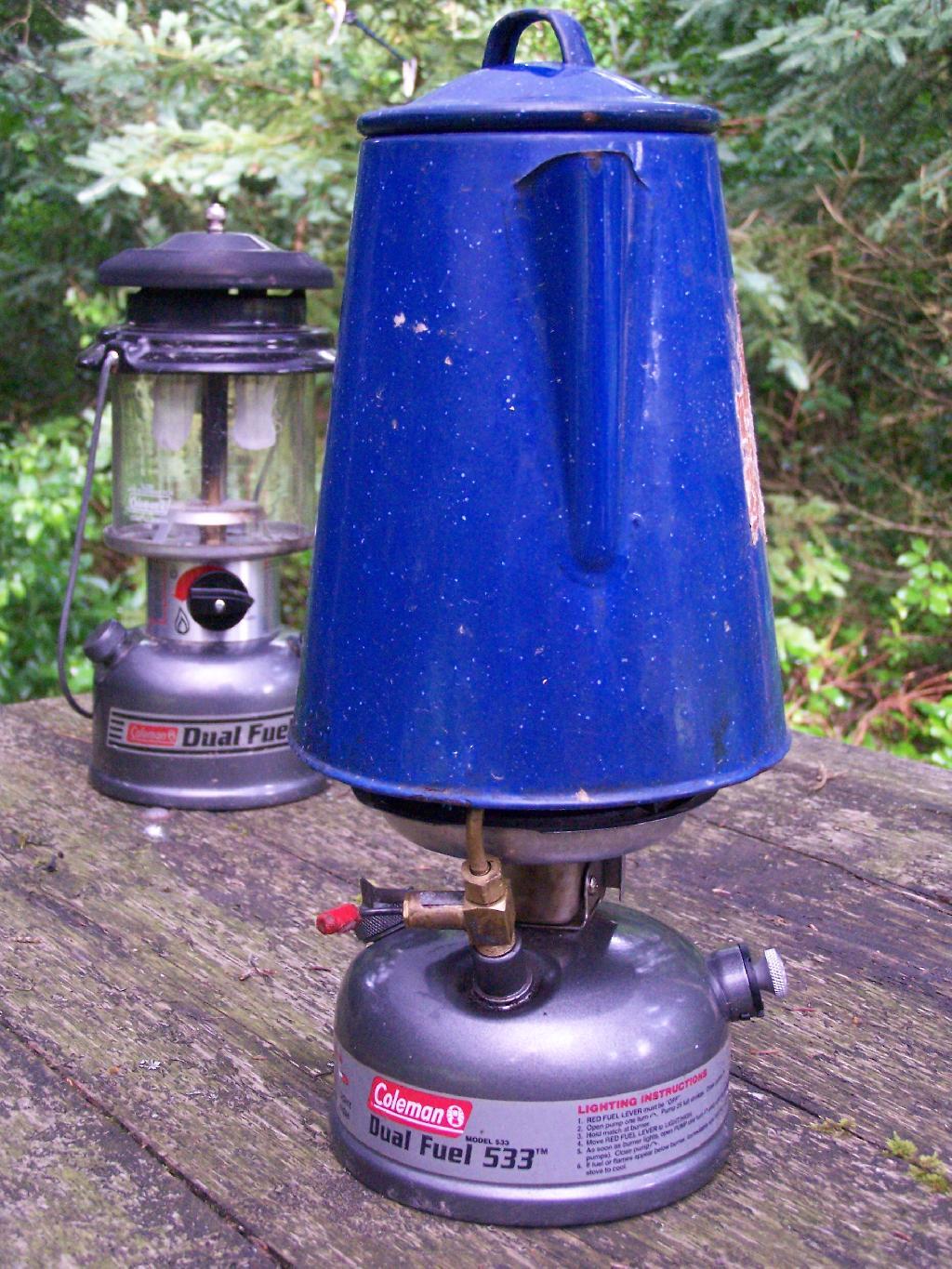
Making some coffee in the morning. I drank an incredible amount of coffee during this week.
Where I camped, after everything was all packed on up.
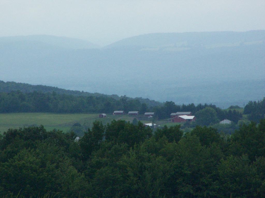
Farms from off Six Nations Hill in the rain, looking south.
Maps from the DEC of Six Nations Horse Camp:
I drove the following route on Day 3 of the Finger Lakes Trip, in yellow. The loop is where the firetower and main horse camp is. Following the green line due south, takes you to the southern horse camp where I spent the night camping.
View Finger Lakes Trip June 2009 in a larger map
Day 4 I visited Corning and checked out Big Flats, which is now unfortunately little more then suburbanite crap. Corning was kind of neat, except that it started to pour when was down there. I then drove down to Sayre, PA, and through northern Pennsylvania so I could pick up some fireworks for the forth of July. I probably could have come right back into the state, but I certainly didn’t want to be followed by undercover cops, with my fireworks (yes, I’m a little paranoid).
Rural Pennsylvania was quite pretty, except for the heavy rain and the fact that Route 706 was so damn narrow and twisty. When I got back to NY, I really appreciated how much better our state’s roads really are. I drove back via I-88, occasionally hopping back on Route 7 for some additional variety to my trip. I got home around 4 PM.
View Finger Lakes Trip June 2009 in a larger map
The green line follows my return trip. It took about 6 1/2 hours, including stops in Corning and other places.
Reading in the Rain
With a rather nice campfire at Sugar Hill. The tarp kept me perfectly dry, and I really didn't notice the bad weather all that much, once the fire got going.
Taken on Monday June 29, 2009 at Sugar Hill State Forest.South
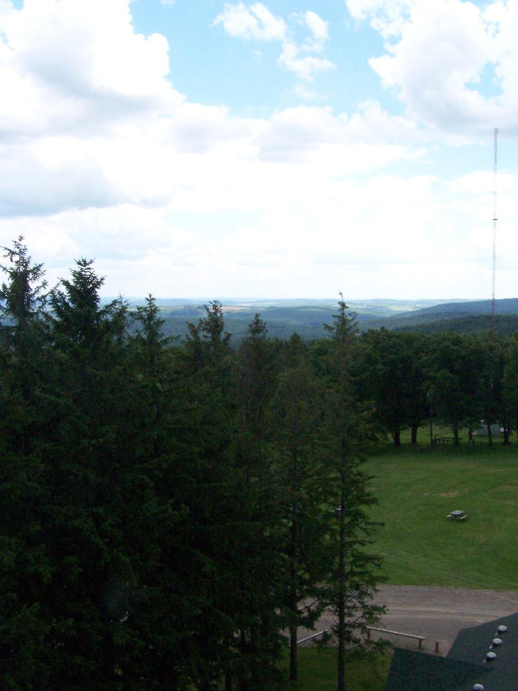
From Sugar Hill Firetower. Notice rest rooms for upper horse camp below.
Taken on Monday June 29, 2009 at Sugar Hill State Forest.Woods Road
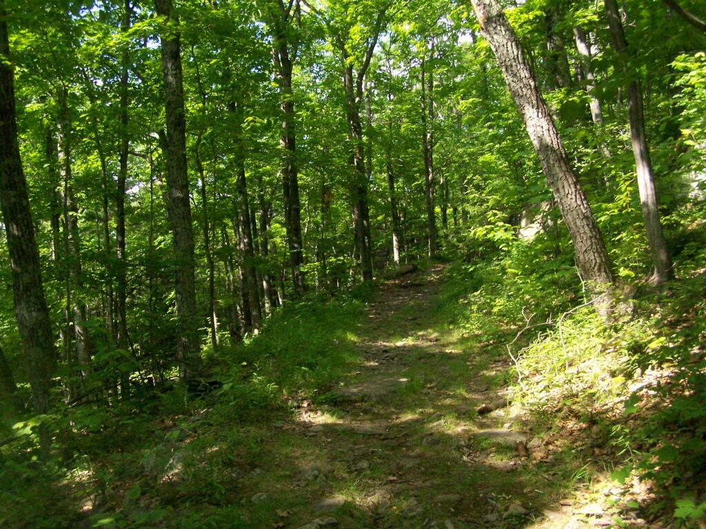
The Fire Tower had an old woods road tower that wound it's way up the entire mountain. It was washed out in parts, but was still a delightful hike.
Taken on Friday June 5, 2009 at Mount Tremper Fire Tower.