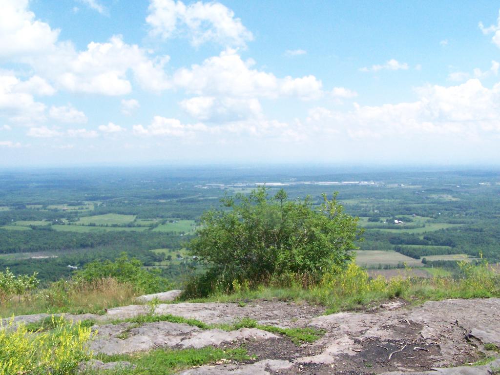
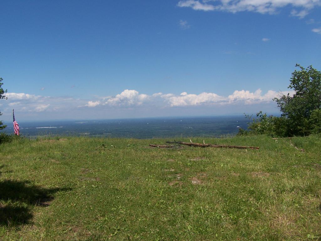
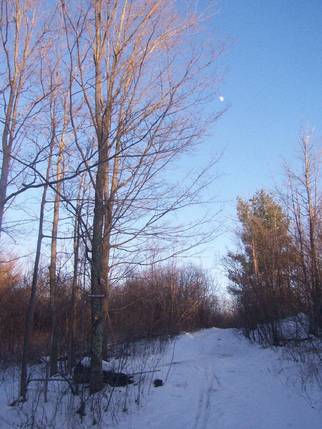
Hang Gliders Cliff
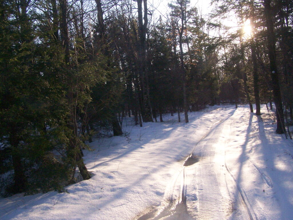
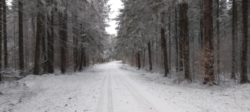
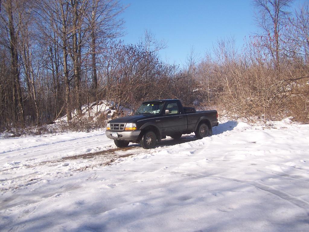
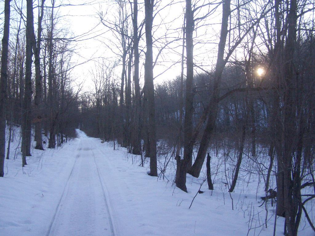
All there is a snowmobile trail right now. I saw a group of kids riding a snowmobile by as was snowshoeing along this road.
Taken on Sunday December 27, 2009 at John Boyd Thacher State Park.Sunny and 56 degrees in Delmar, NY. 🌞 Calm wind. The dew point is 53 degrees. Should be a nice day.
Yesterday, I took the Nature Bus 🚌 to Thacher Park, hiked around 15 miles including starting at the Overlook Parking, then Hop Field, the Hop Field Wetland Trail, then up to Beaver Road, hiked out to Thompsons Lake Hamlet, then down to the boat launch, campground, nature trail. 🏞 From there I took the Salisbury Trail to Perimeter Trail to Fred Schroeder Memorial and then down to High Point, then along the mountain bike trail to Hang Gliders Cliff and then out to Horseshoe Clove. It was a pretty good hike, catching the 6:20 PM bus home, some eight hours later, with a little bit of hammock time.
Today, I am not planning on a real ambitious day, 👣 after walking 40,000 steps or about 20 miles yesterday. I probably should do a morning walk today, but I am not ready to get going yet, plus I have an idea for a project I’m working on for the blog — namely 360 photos that I’ve discovered how to with my smartphone. 📸 New record on the steps.
I should probably do an early morning walk — I was up a little after 6 AM but I am enjoying my coffee. ☕ I should do a little more cleaning and putting away after summer vacation, especially if I am thinking about heading up to the Adirondacks next weekend, maybe the Potholers one last time this summer. With work, I don’t think I can be so far off grid in future weekends.
I will need to get milk 🥛 tomorrow as that plastic jug is about to hit the wastebasket. I do wish I could get milk in deposit glass. I don’t make a lot of trash 🗑 and they burn fine but it seems like such a waste. I drink less milk these days though to try to cut back a bit on the calories. Ice water 💦 is a lot more healthy.
I should think about voting, 🗳 as the early vote center down the road is now open for the Congressional primary race, but I can do that one night after work I figure. 🚶♀️ Plus, on election day, primaries all-day long in New York under some of the reforms the legislature did a few years back to make voting easier.
This afternoon I’m heading out to the folks house for Sunday dinner 🍔 and then will probably hike Bennett Hill. It’s been a few weeks since I lost caught up with them. 🚶 It’s always a nice hike and should be good and clear. The elevation gain gets the blood pumping and at let’s me get some of my steps in for the day. Truth be told I should have done my morning walk but maybe I can do some in the evening. 🌃
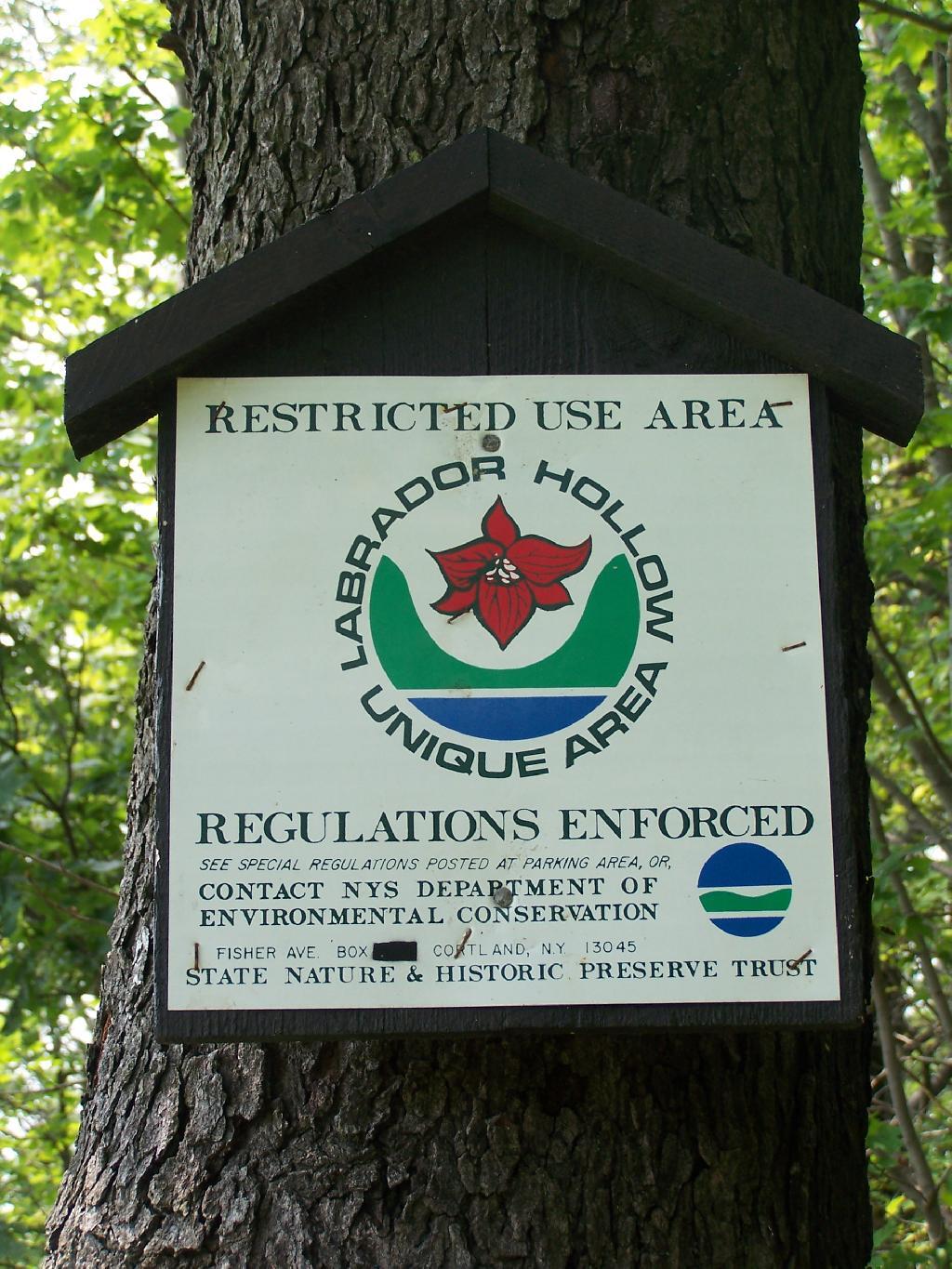
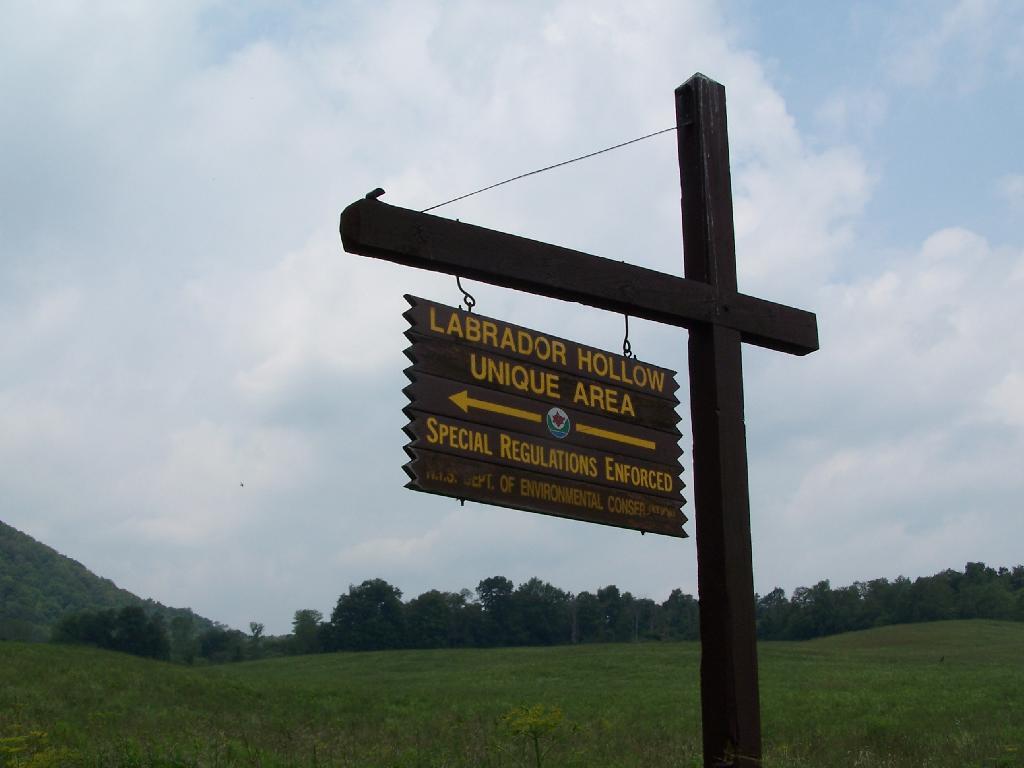
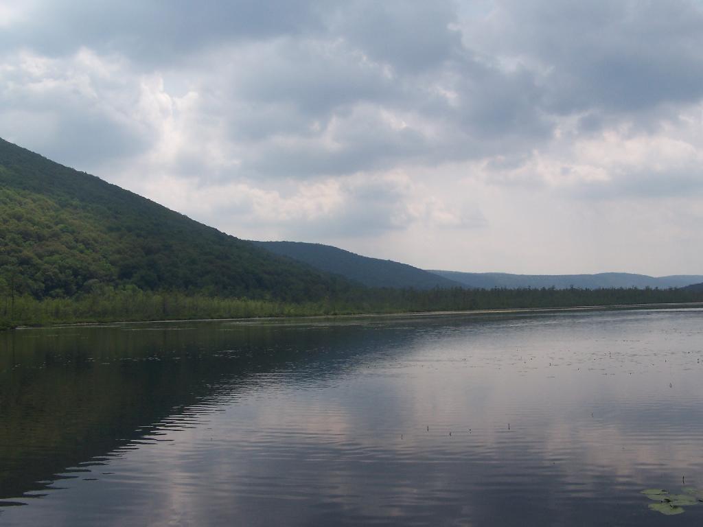
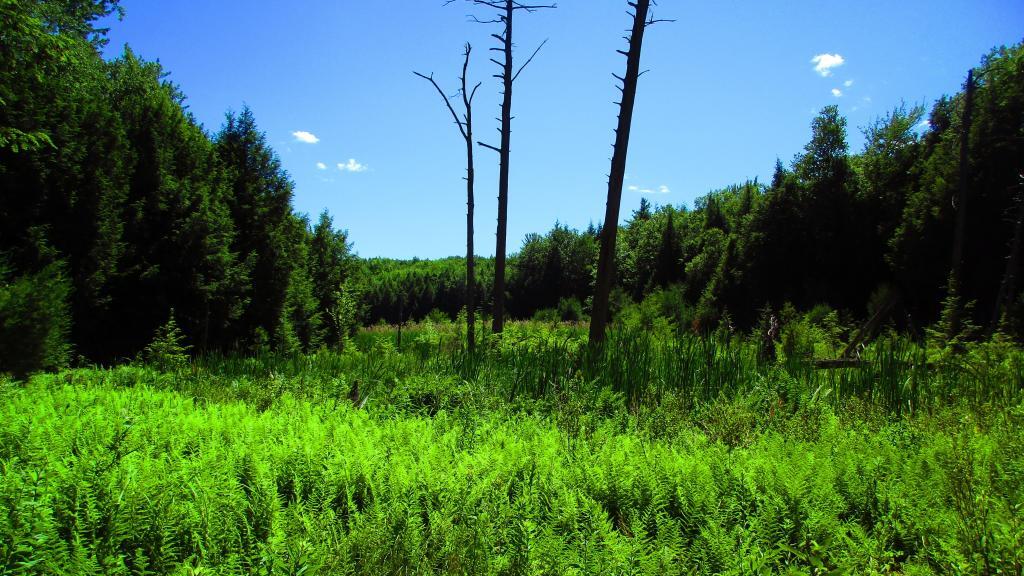
Labrador Hollow is a deep valley surrounded by large hills on both sides. It’s located on the border of Fabius in Ondondoga County (south of Syracuse), and Truxton in Cortland County.
At Labrador Hollow, there are three places you will want to check out:
There are plenty of signs to guide you to the Labrador Hollow Parking area by the pond.
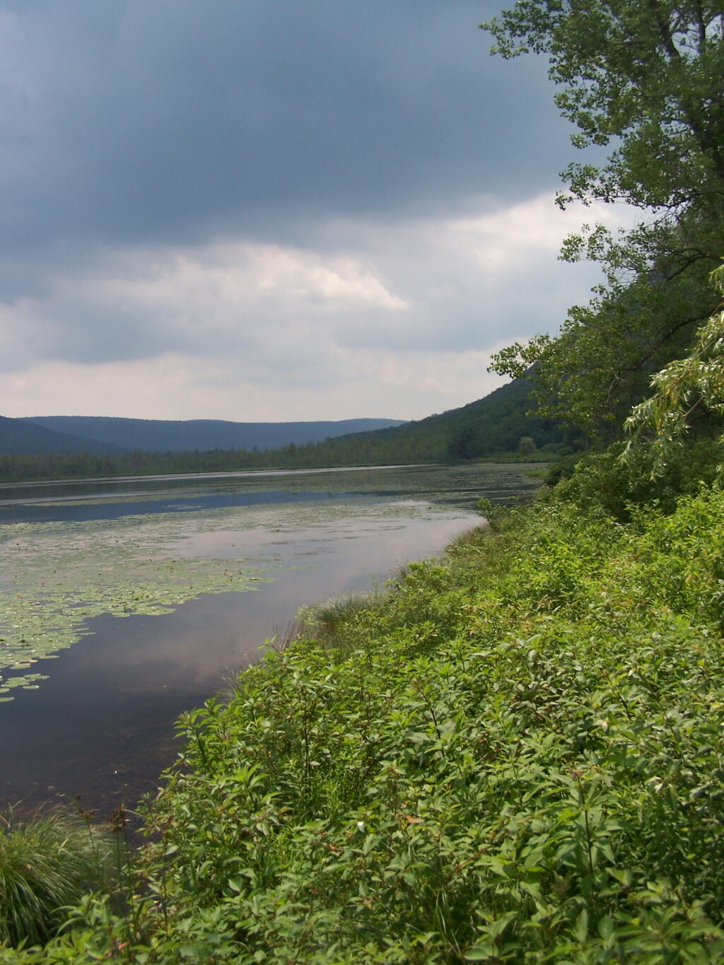
Through the marshy area, there is a 1/4 mile board walk which provides up close and personal views to the unique wildlife of the area.
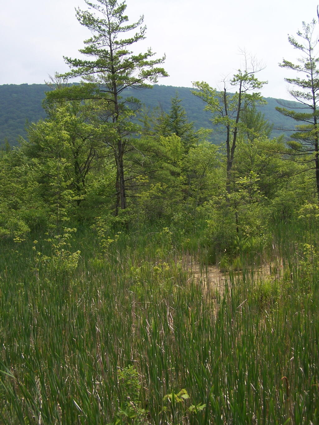
You usually don’t get a chance to be right up in a marsh like this, unless your deep in the mud with your boots, or it’s less grown up and you could paddle a canoe or kyack. So despite being a little out of place, it does give you a unique experience.
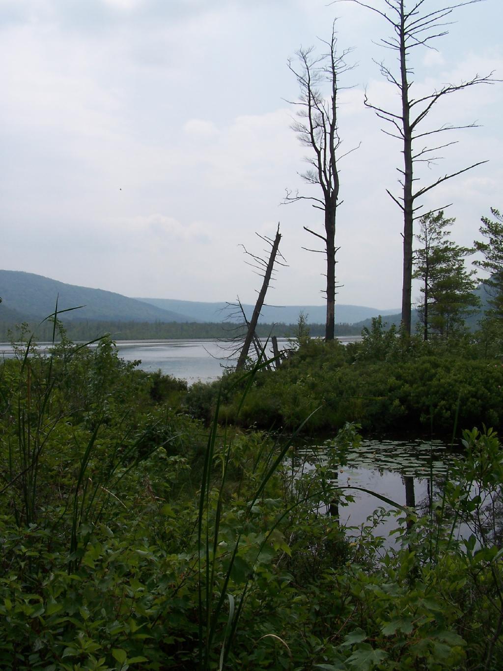
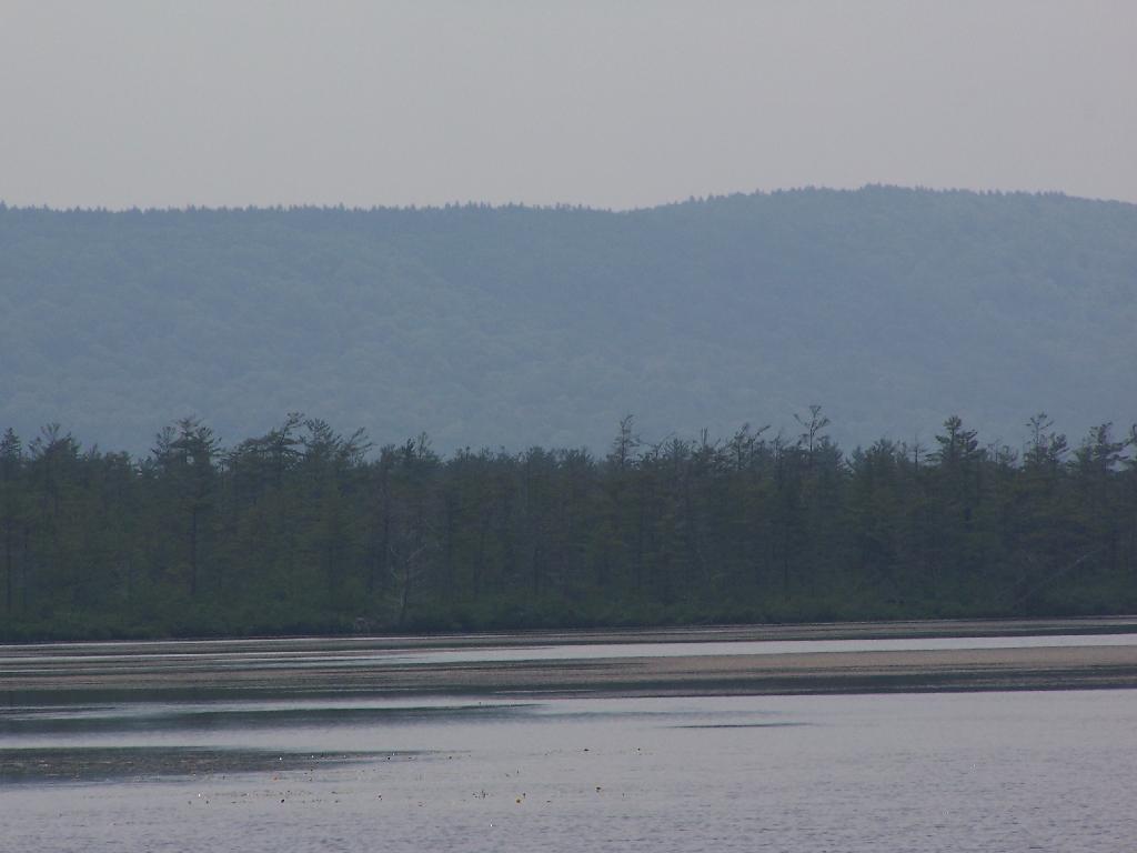
Looking at Labrador Pond through the marshlands.
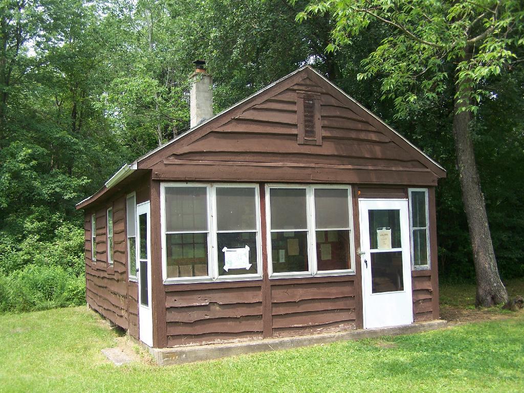
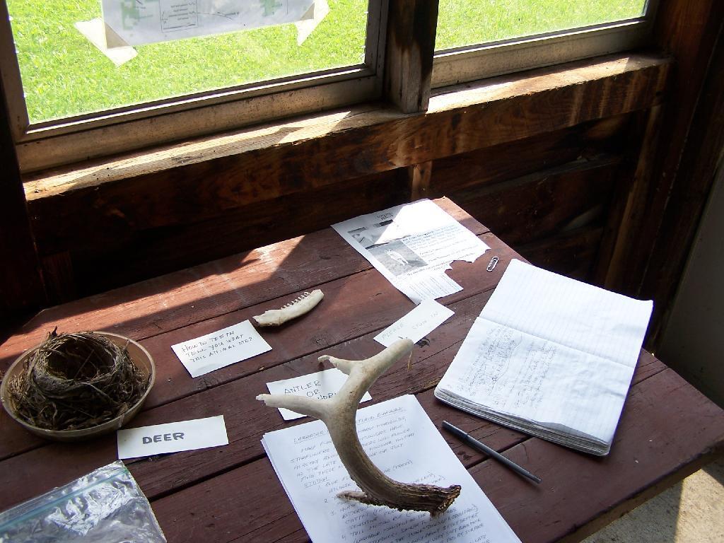
There used to be a firetower on Jones Hill, which is now a nature center down by Labrador Pond.
An open section is mowed, so you can sit dwon by the lake and enjoy the views.
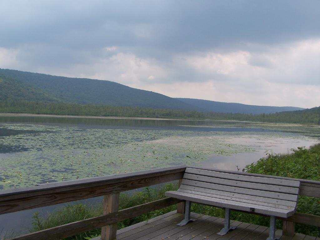
Then I drove over to the Kyack/Canoe launch for the pond, on the western side along Labarador Hill.
Besides the kyack launch, there is a series of benches and a boardwalk that extend out into the lake.
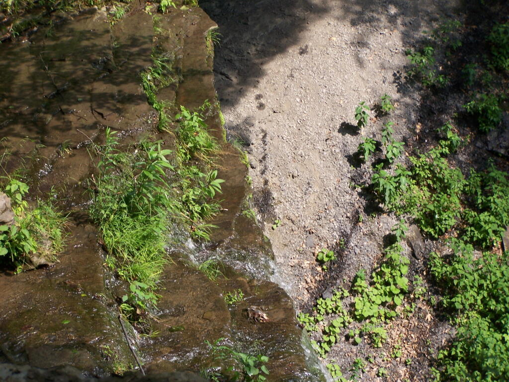
Later I drove around to the Eastern side of the lake, then hiked down to Tinker Falls, an accessiable water falls. The trail is an easy 1/4 mile walk that is only slightly inclined.
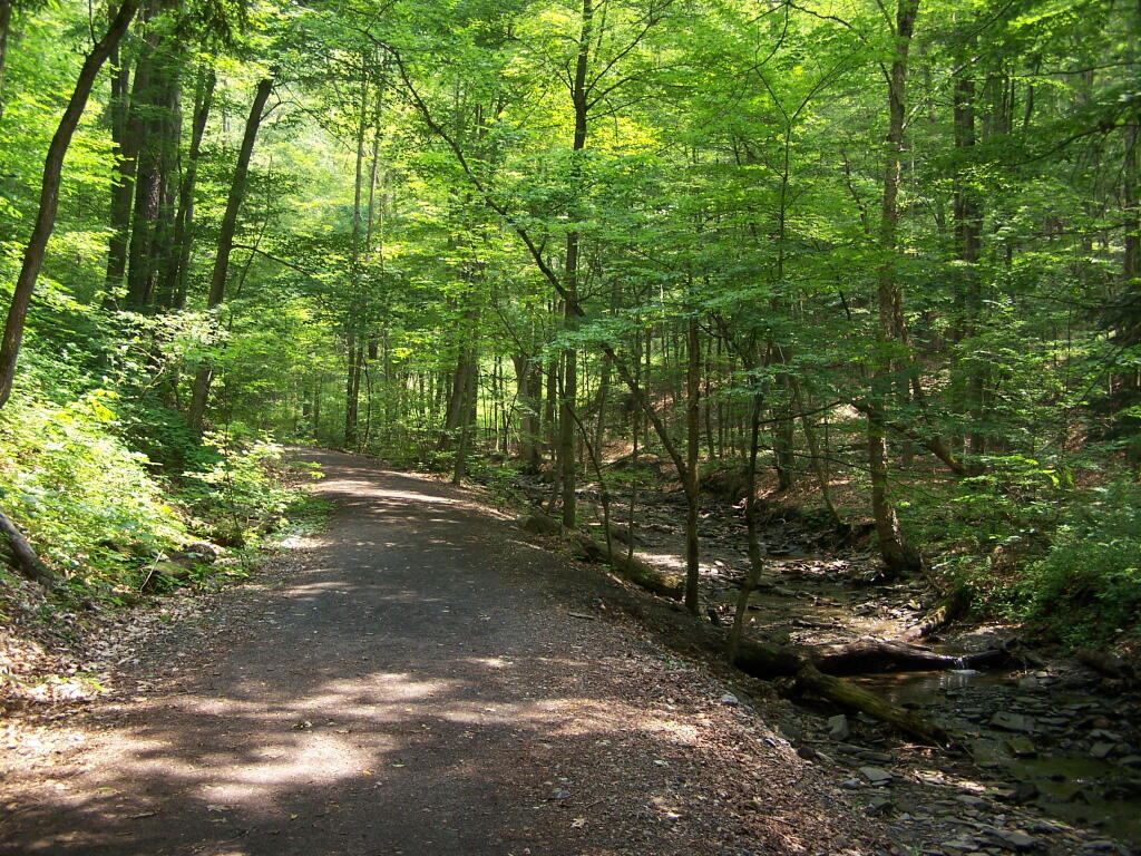
The falls aren’t big, being maybe 60 feet at the most, but they are still pretty and simple. I wouldn’t confuse it with Niagara Falls or even the Kaaterskill Falls. By afternoon, a lot of people where playing in the falls, trying to stay cool.
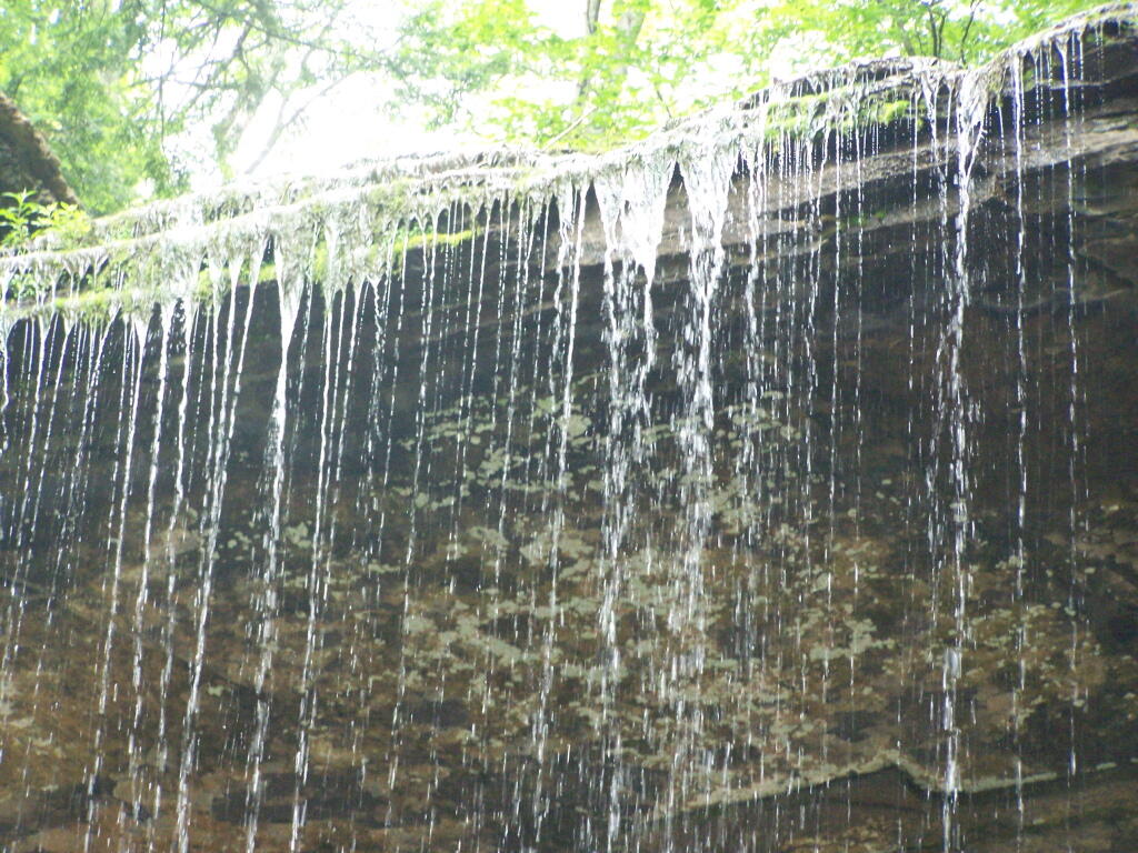
Here is the view from the top of Tinker Falls, accessed from the Finger Lakes Trail or the orange spur to the Finger Lakes Trail.
I then proceeded to hike up to the Hang Gliders launch spot by the Orange Blaze Connector trail which hooks up with the Finger Lakes Trail. This is route I took, it’s slightly longer and steeper then the old woods road route.
You can also follow the old woods road, which goes directly up to Hang Gliders spot on Jones Hill.
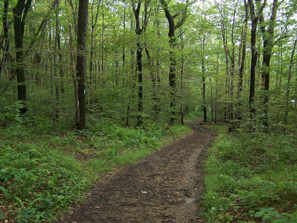
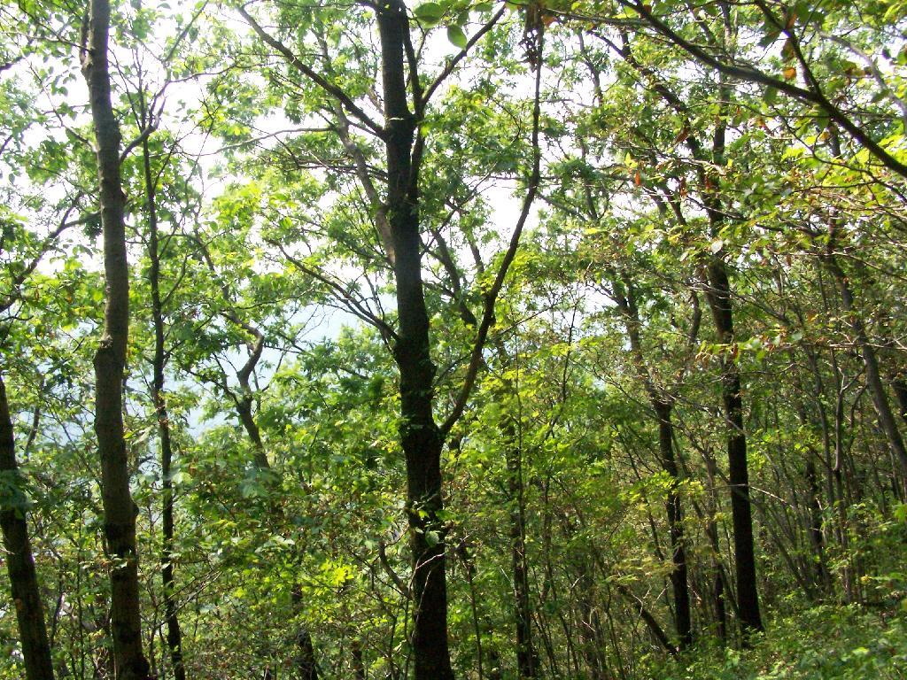
Part of the Finger Lakes Trail runs along the edge of Jones Hill, although there aren’t any real views this time of year.
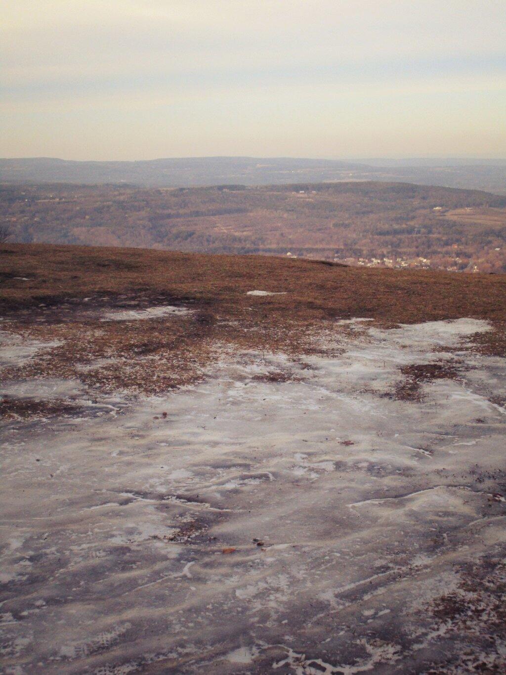
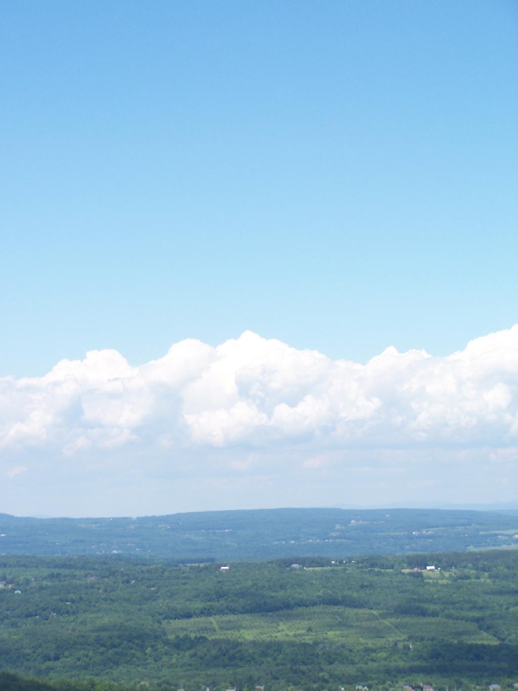
Arriving at Hang Gliders clearing. It was very hazy out, with limited views.
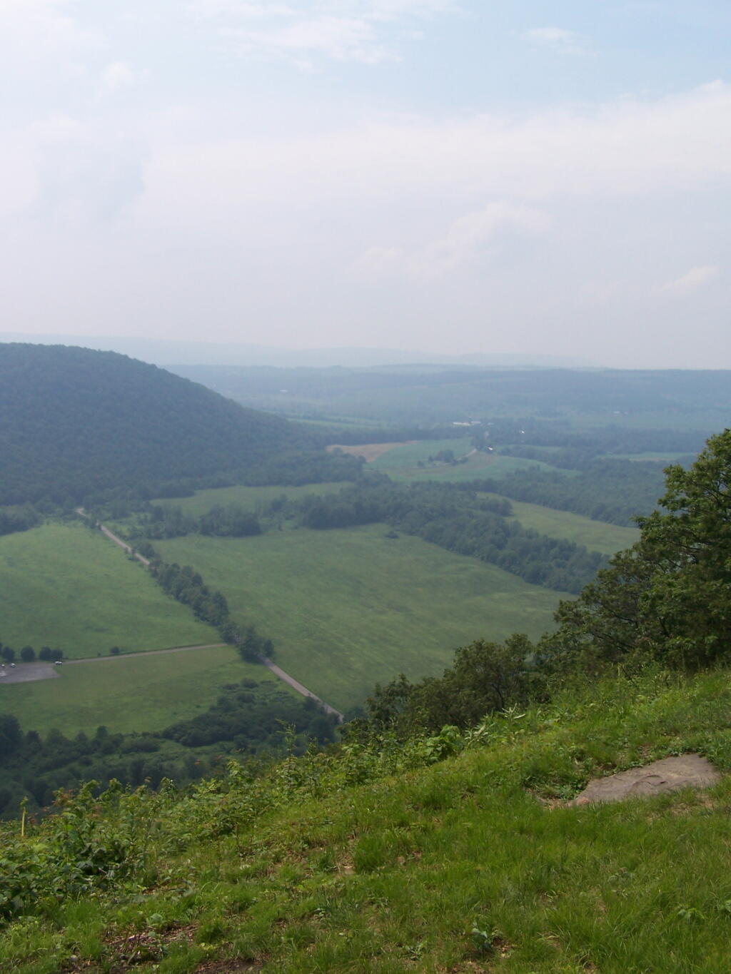
Looking down at Labrador Hollow and towards Labrador Hill.
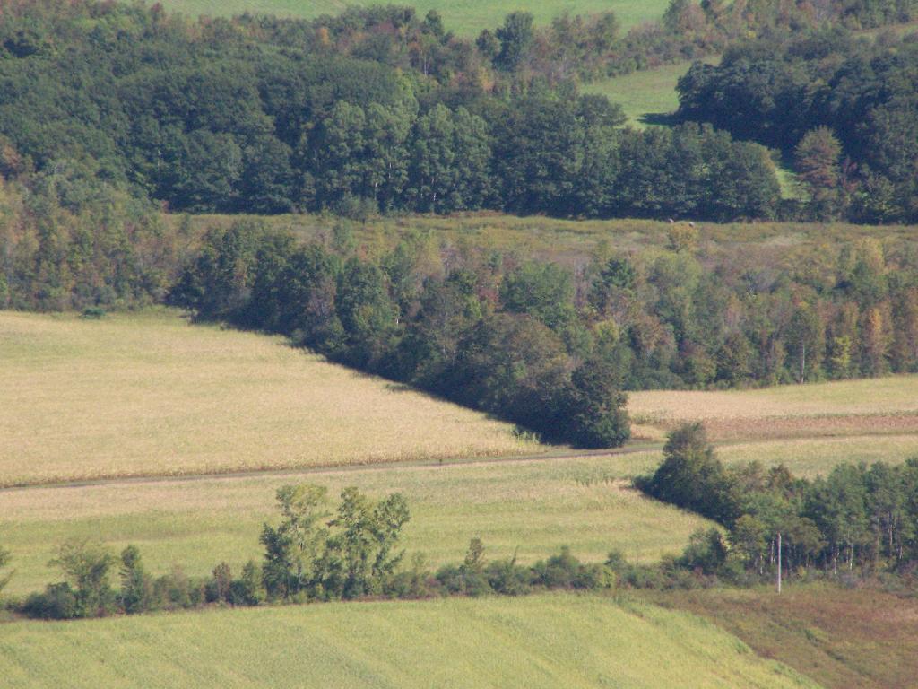
Farms in Fabius, with very poor views.
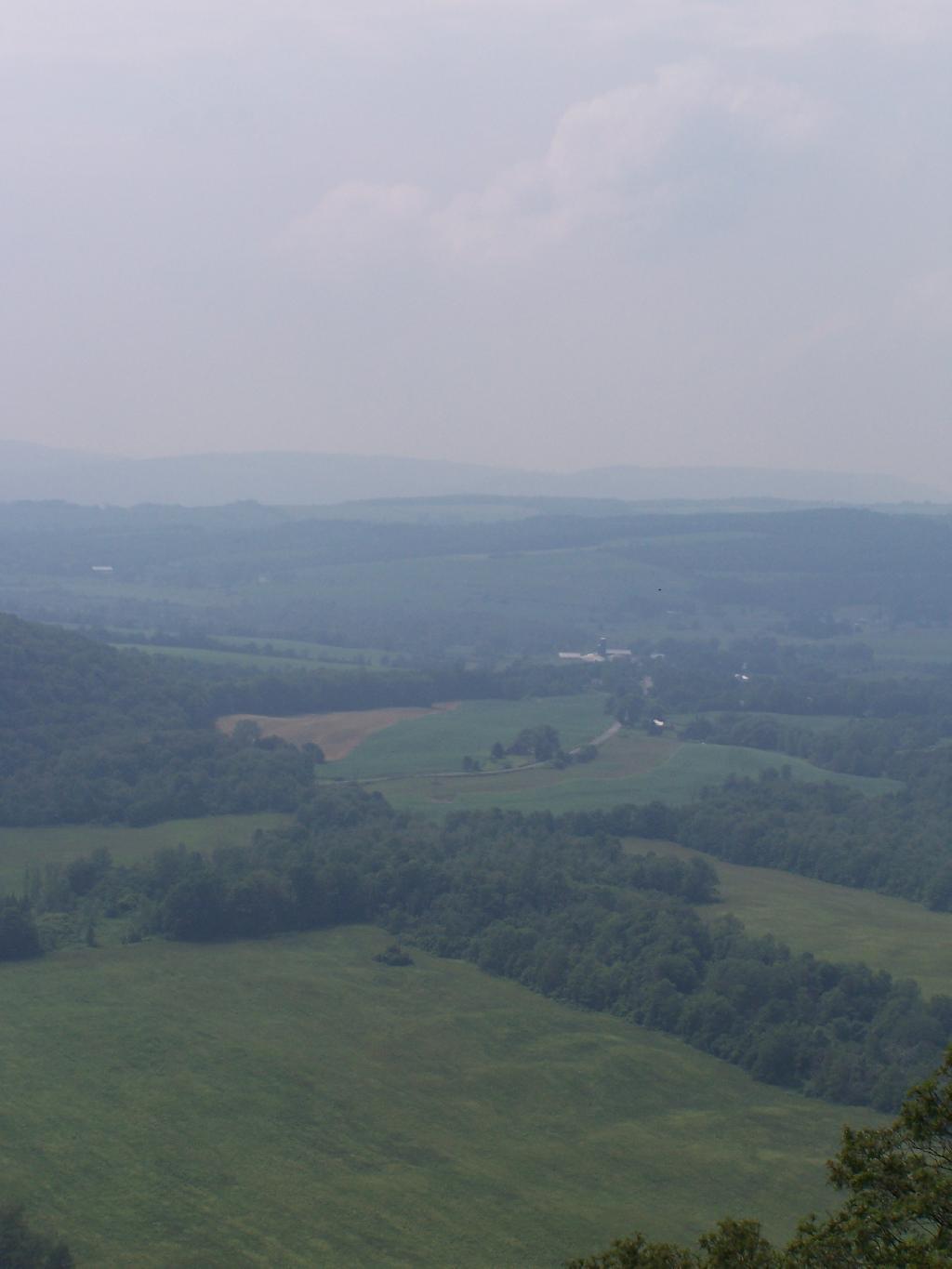
I want to come back on a clear fall day. Maybe this fall I will go back out and explore this area again in the future.
Here is a map of the hike.
On June 20, prior to going out to the folks house, I decided to go for a little walk at the OSI Parcel of Thacher Park, from Carrick Road down to High Point, then to Hang Gliders’ Point. While very hazy, it still was a beautiful day.
Parked at the old Blue Stone Mining Pit, with the “Stone Sculptures”.
At the 3 Mile Ski Trail Loop Intersection.
Hiking down an old-woods road that I accidentially followed too far and went right past High Point.
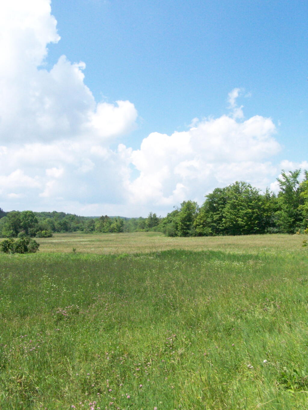
I ended up in this big hay field bordering the OSI Parcel that has a trail running through it via a landowner easement.
And I finally found my way to the High Point Overlook, in the haze.
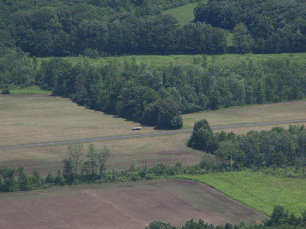
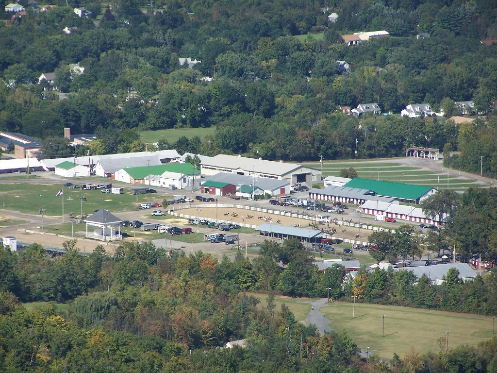
Looking down over the Altamont Fair Grounds.
You could see the corn just starting to pop up along Brandle Road in Altamont from the overlook.
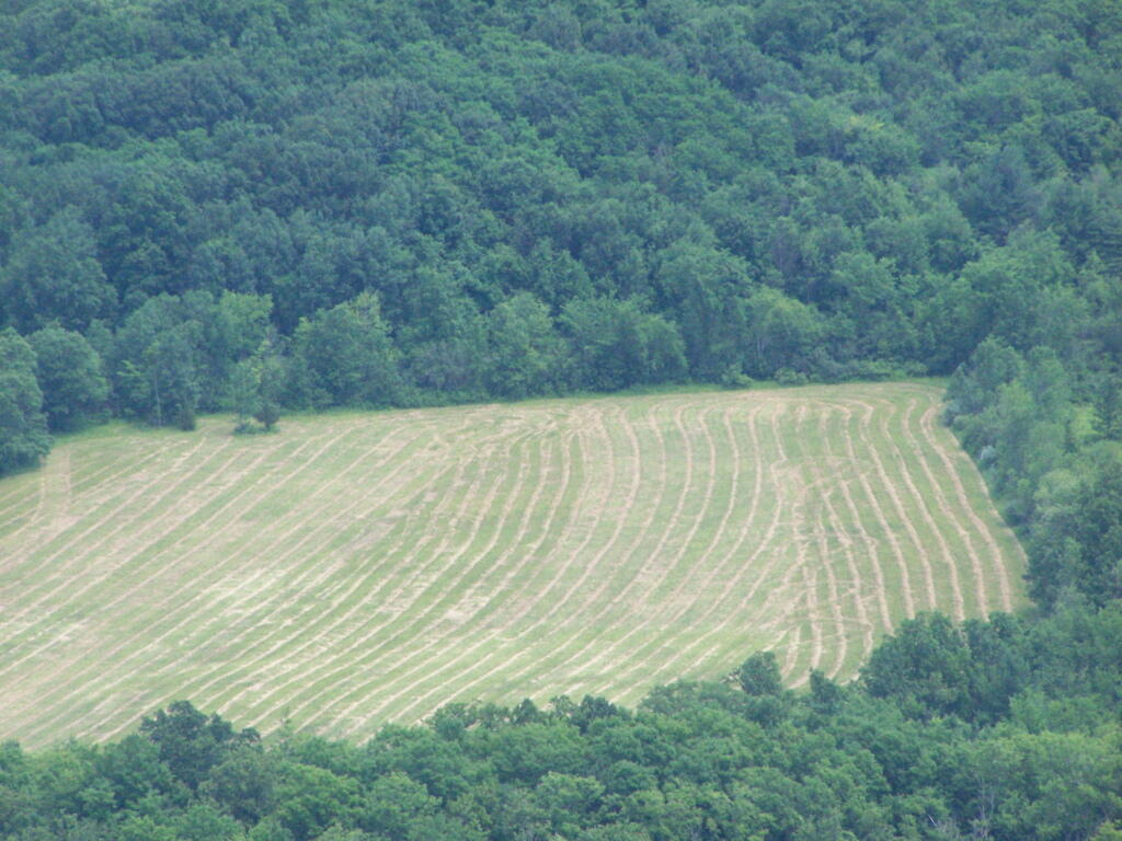
And where a farmer had just cut some fresh hay below.
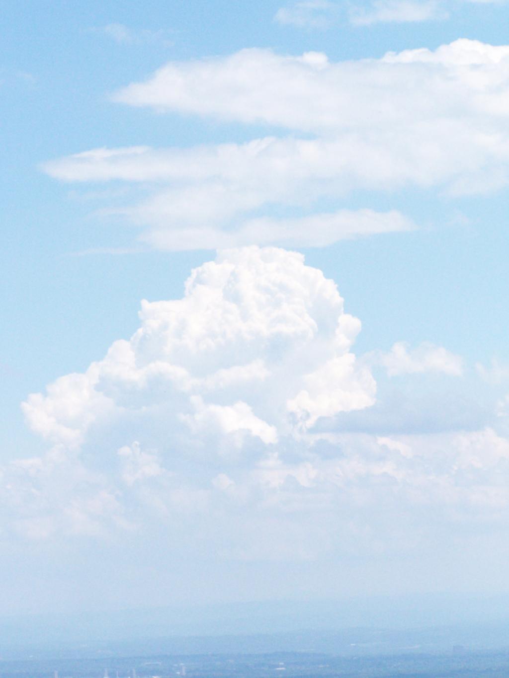
A pretty cloud.
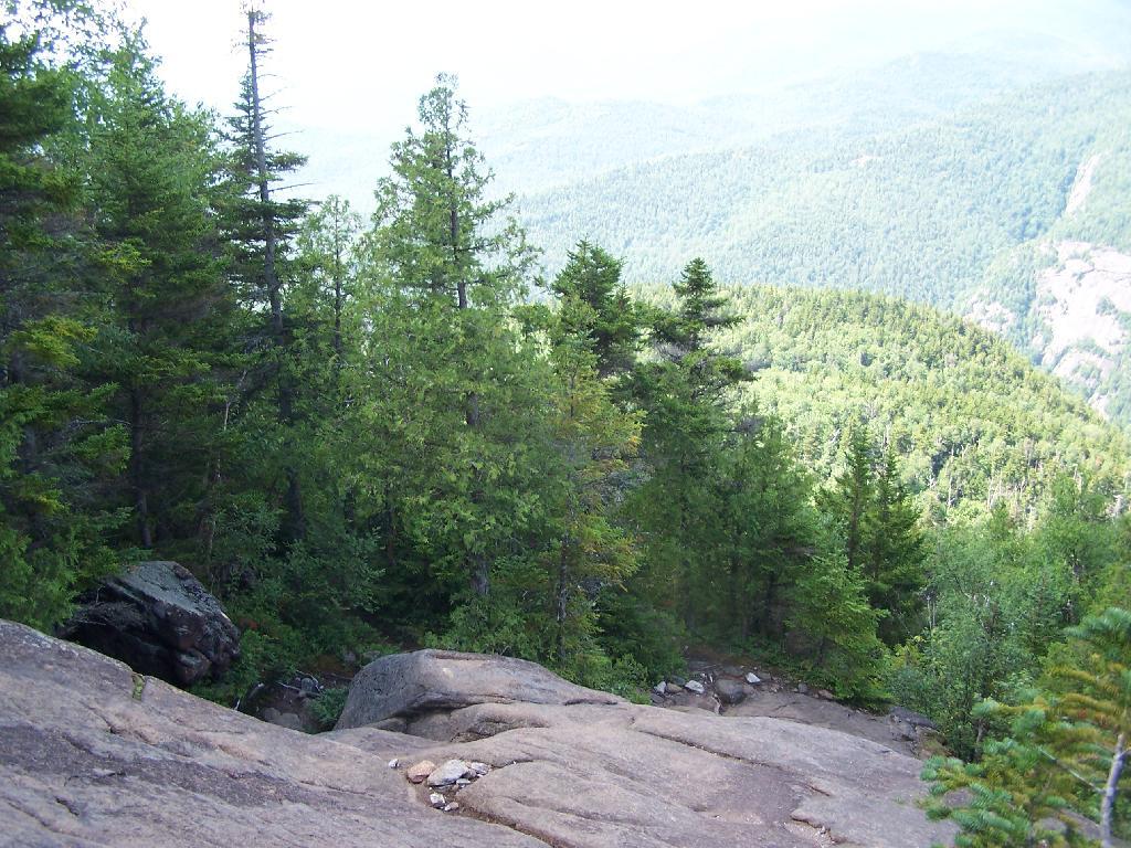
Looking off High Point onto land below.
Hiked over to Hang Gliders’ Cliff.
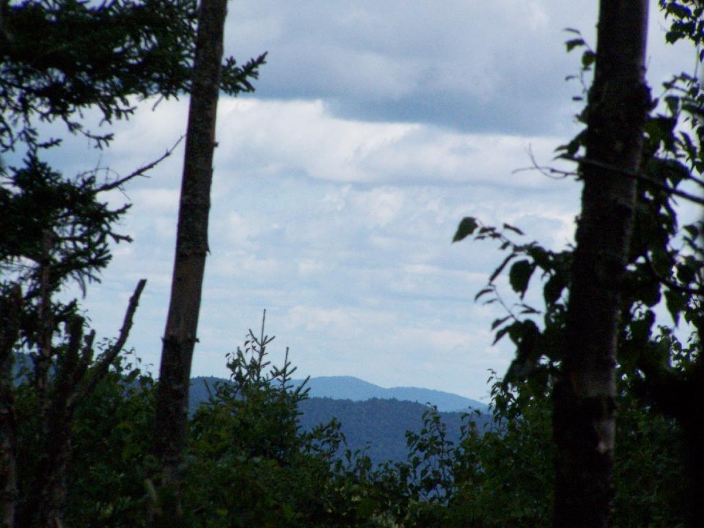
View from the unmarked trail to Hang Glider’s Cliff.
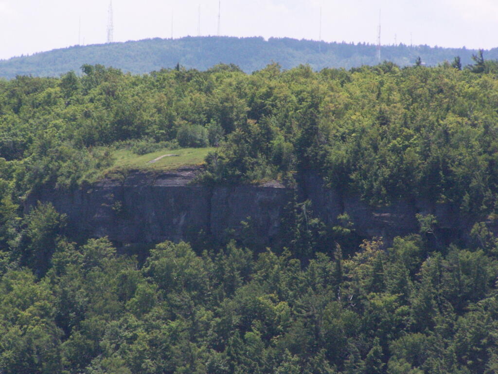
A Hang Gliders’ Cliff.
Low clouds hung out and over Settles Hill.
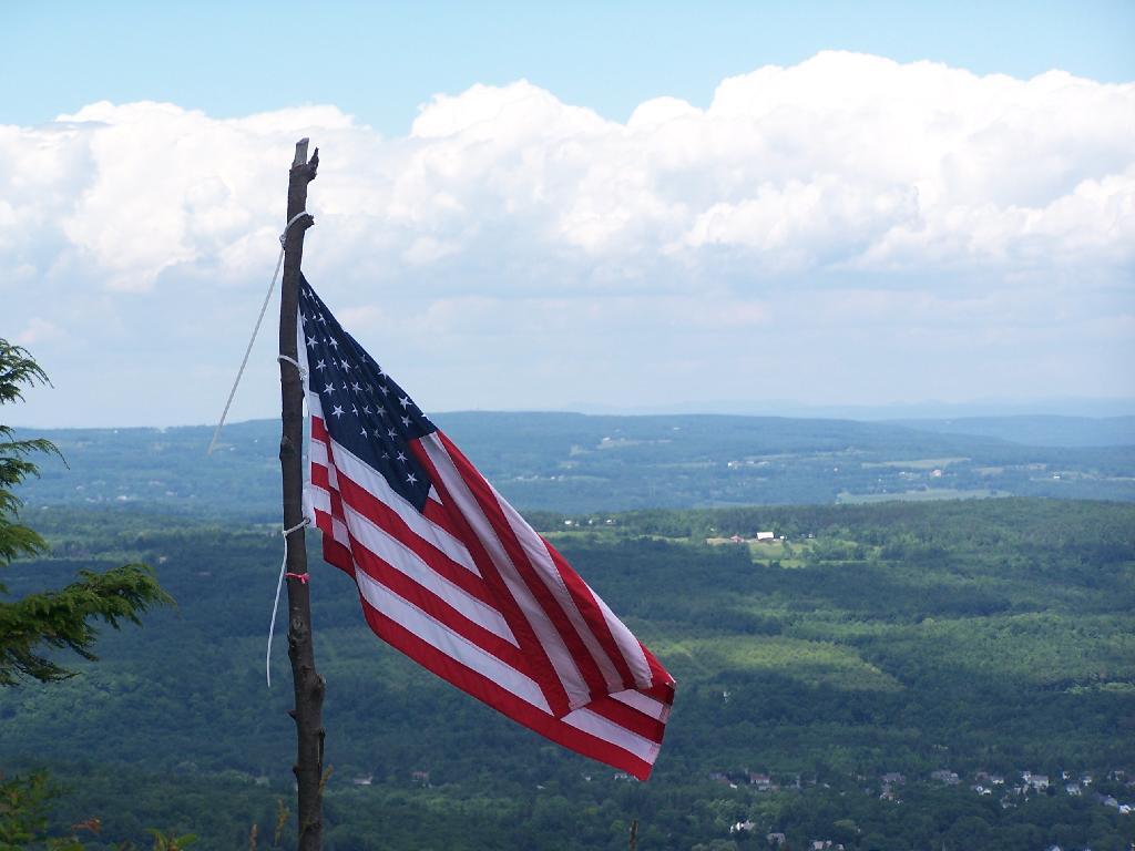
Somebody had hung a flag at Hang Gliders Cliff.
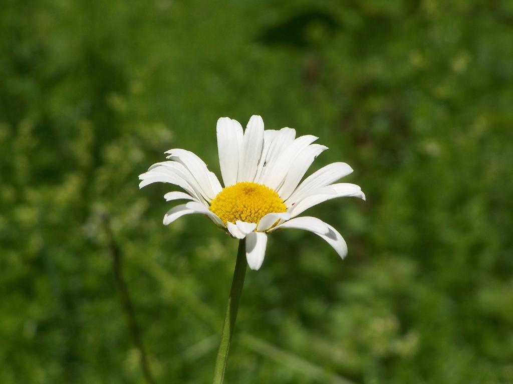
Hiking back to the pickup truck saw this cute little flower.
It was hot! Yet, it was nice to at least get out and do a lot of hiking during this very hot and humid weekend.
Here is a map of the hike.
The Thatcher Park OSI Parcel with High Point and Hang Gliders Cliff have rapidly become one of my favorite local places to visit. It has replaced Partridge Run as a personal favorite, mainly because in addition to interesting woods to explore, it also has the Escarpment to look off.
The day when I went out hiking I had previously gone to the doctor with a horrible sinus infection. I was feeling pretty sick, but the bright blue skies just beckoned me to go outside and get some fresh air. So I donned my beat up old cowboy hat, took some Zyrtec and my antibiotics, and off I went.
I didn’t plan on snowshoeing too far, so I decided to park up at the old Bluestone Quarry off of Carrick Road. Carrick Road was a sheet of ice, with about 2 inches of packed snow on it. Fortunately the Quarry had an area that was well plowed and it was a perfect place for me to park and not worry about getting my pickup stuck. Even with 4×4, I am so paranoid about such things these days.
The bright sun and the blue skies were so delightful. In winter, it seems like gray snowy weather is always the norm, and it’s rare to get a truly nice day for snowshoeing. On this particular day, there was not a cloud in the sky, and it could almost not have been much nicer.
Here is the junction of the White Connector Trail and the Red Ski Loop which is multiplexed with the Long Path. This is only a short distance from High Point. The light and the weather was just so amazing on this afternoon.
I hopped off the Red Ski Trail and took an old woods road to High Point. I had never been over this way before, and when I reached High Point from this angle, I almost didn’t even realize it was High Point, looking out through a clearing.
While I go up to High Point quite a bit, it is the first time I really noticed this classic looking farm in Guilderland with the barns and the house. Obviously, you can’t tell what kind of livestock they raise from this picture, but it is a very classic old farm house and old barns, probably from back when it was a dairy operation some time ago.
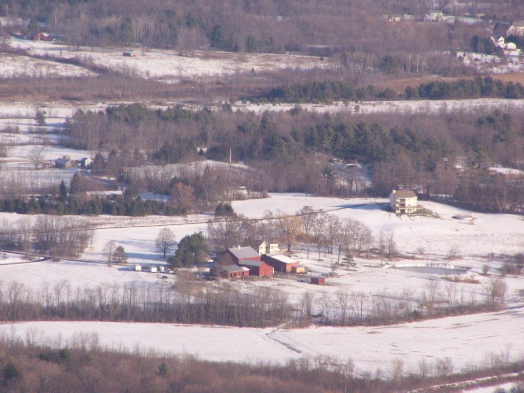
All of the sun and fresh air made me start to feel better so I snowshoed on south to Hang Gliders cliff. While I usually would take the unmarked escarpment trail all the way on over in the summer, I took for the first part the Long Path and cut over to the unmarked trail, to avoid the section that runs right along the edge. Here we are looking off Hang Gliders cliff, down into the valley.
Settles Hill can viewed from Hang Gliders Cliff quite well. I have always loved the look Settles Hill if only for it’s rolling nature and all of beautiful small farms up on it. Most of this country is still in the Town of Guilderland, although some is in Princetown.
Snowshoeing along Hang Gliders Road. There was some icy patches and I passed a group of young kids snowmobiling, probably from one of the neighboring farms.

One of the things I don’t like about this time of year is the days are so short. That said, each and every day is getting a little longer, and twilight is now around 5 PM every night. In a month, the twilight will be much closer to 6 PM. Sunset was about 4:30 PM.
There was waxing crescent moon hiking back to the truck. Quite beautiful, as the sun set in the opposite direction. It made for a beautiful hike on back to my pickup, as I headed home for the day on this wonderful day.
The route I took is in green.
Notes on the Re-Run for Monday, September 13th.
Two years ago, I went for a hike up at Thacher Park’s OSI Parcel. As a kid, I never was a big fan of Thacher Park, but I’ve fallen in love with the more wild areas, where one can go up and explore for free. Manicured parks, roamed by jack-booted thugs, aren’t my thing but the views from the OSI Parcel are amazing.
— Andy
I went out hiking with my dog on this Sunday afternoon. I parked at the Carrick Road Old Querry. There where several other cars parked there. Here is a map of the Thacher Park OSI Parcel with all of the many different trails that criss-cross these lands. You can click on this map to download it for printing.
By September 20th, there where a few early signs of color, including this somewhat sickly looking Sugar Maple about a quarter mile from the query.
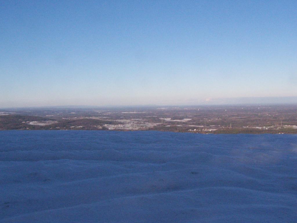
From High Point on the Thacher Park Cliff it was as clear out there as it gets in the summer.
With the cattle corn ready to harvest…
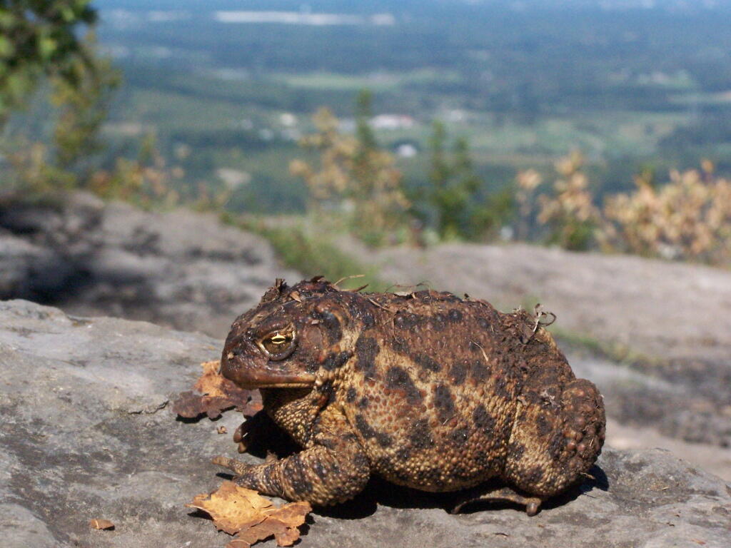
A toad sat out sunning on the rocks of High Point.
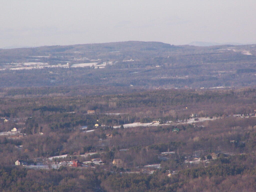
As a horse show was going on down at the Altamont Fairgrounds.
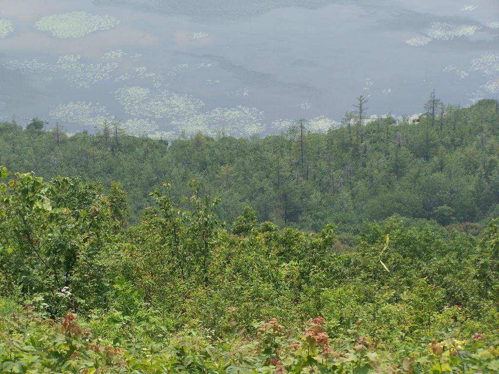
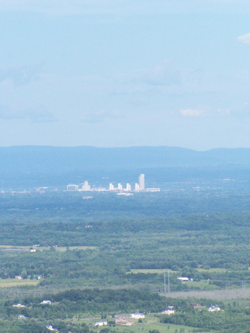
And Albany sat in mild haze, below the Taconic Range, with Berlin Mountain towering above, from Hang Gliders Cliff.
Looking at Horseshoe Clove and all that lies beyond in the distance. A little bit of fall color, but still a bit to go.
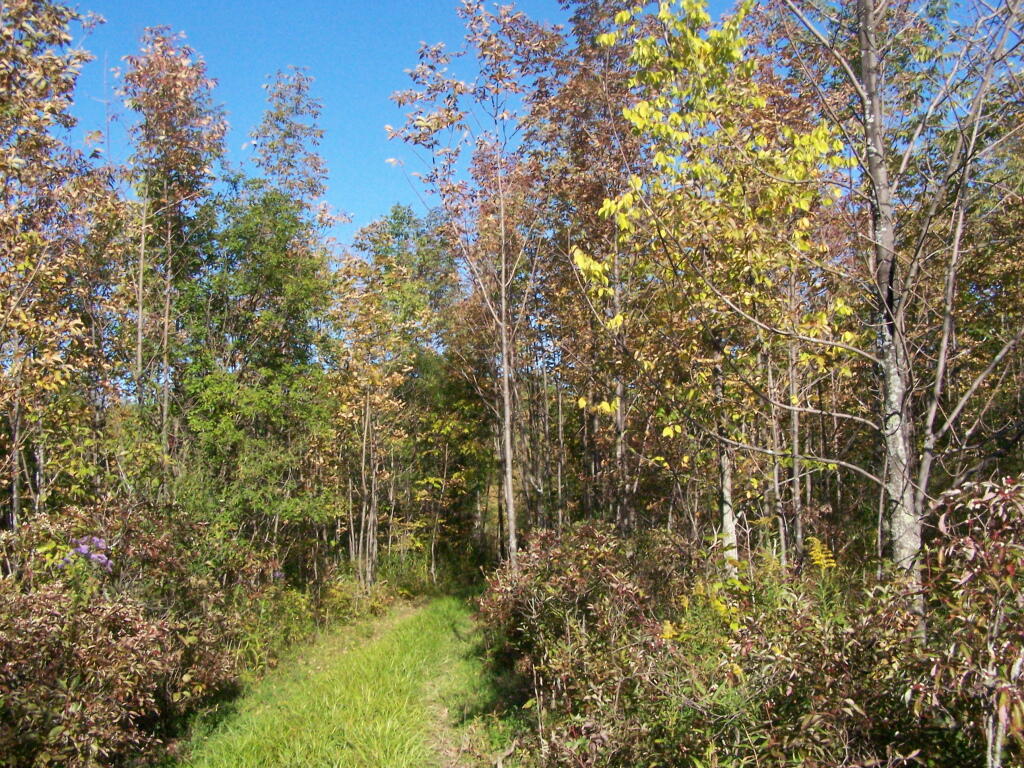
Walking along the Yellow Trail out to Whipple Road. A few signs of color along here.
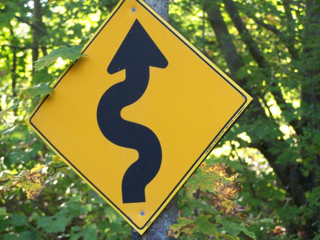
The Yellow Trail is a snowmobile trail in the winter. This sign was installed by the local snowmobile club, and is kind of unusual for a hiking trail.
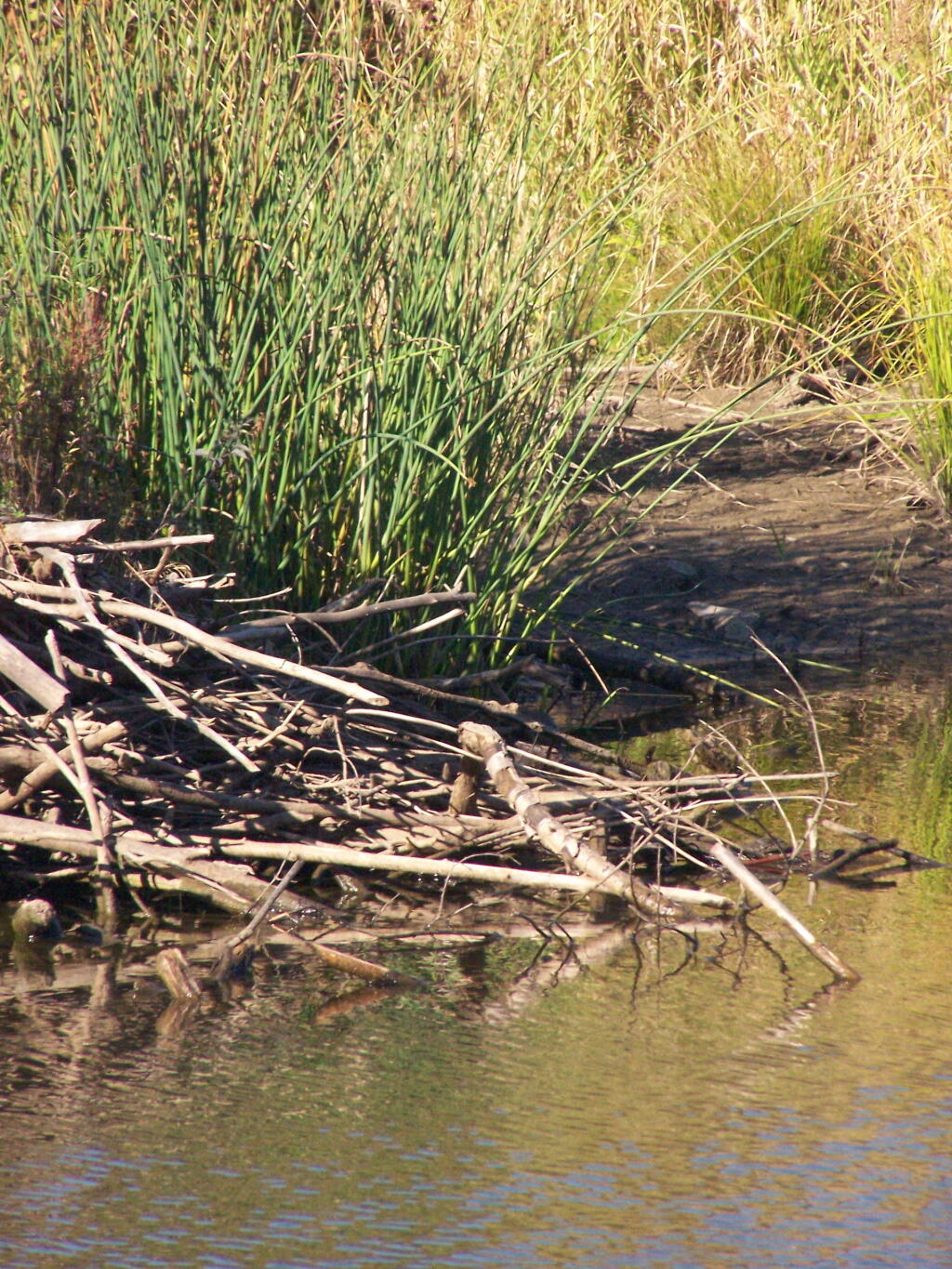
The Beaver Dam in the pond off the Red Trail from Whipple Road to Carrick Road.
… Thacher Park is not the Adirondacks or Green Mountains. It’s not the most remote parcel in the world, but it is close to Albany, offers some excellent views of the escarpment, and if you explore the OSI parcel to the north of main portion of park, it’s free to park and undeveloped and beautiful lands.