Search Results for: pharoah lake

Hiking Back to Pharaoh Mountain from Crane Lake Road

Pharaoh Mountain is located about 10 miles east of Schroon Lake, and can be accessed from the Long Swing / Pharaoh Mountain Trail from the North along with a much steeper and longer trail from Pharaoh Lake from south.

If you choose to take the infamous and rough Crane Pond Truck Trail to it’s end, and then park at Crane Pond, it’s only about a 3 1/2 mile hike up the mountain. If you stop at Alder Pond, and don’t drive through the shallow end of Alder Pond to get to the last mile of Crane Pond Road, then it’s a 4 1/2 mile hike each way.

 Where Crane Pond Road Crosses Alder Pond

Below is Alder Pond. It was an amazing morning, as the rain let up and started to clear off. The truck trail cuts through the end of the pond, and with the recent rains, it was deeper then I wanted to take my old pickup through.

 Across Alder Pond

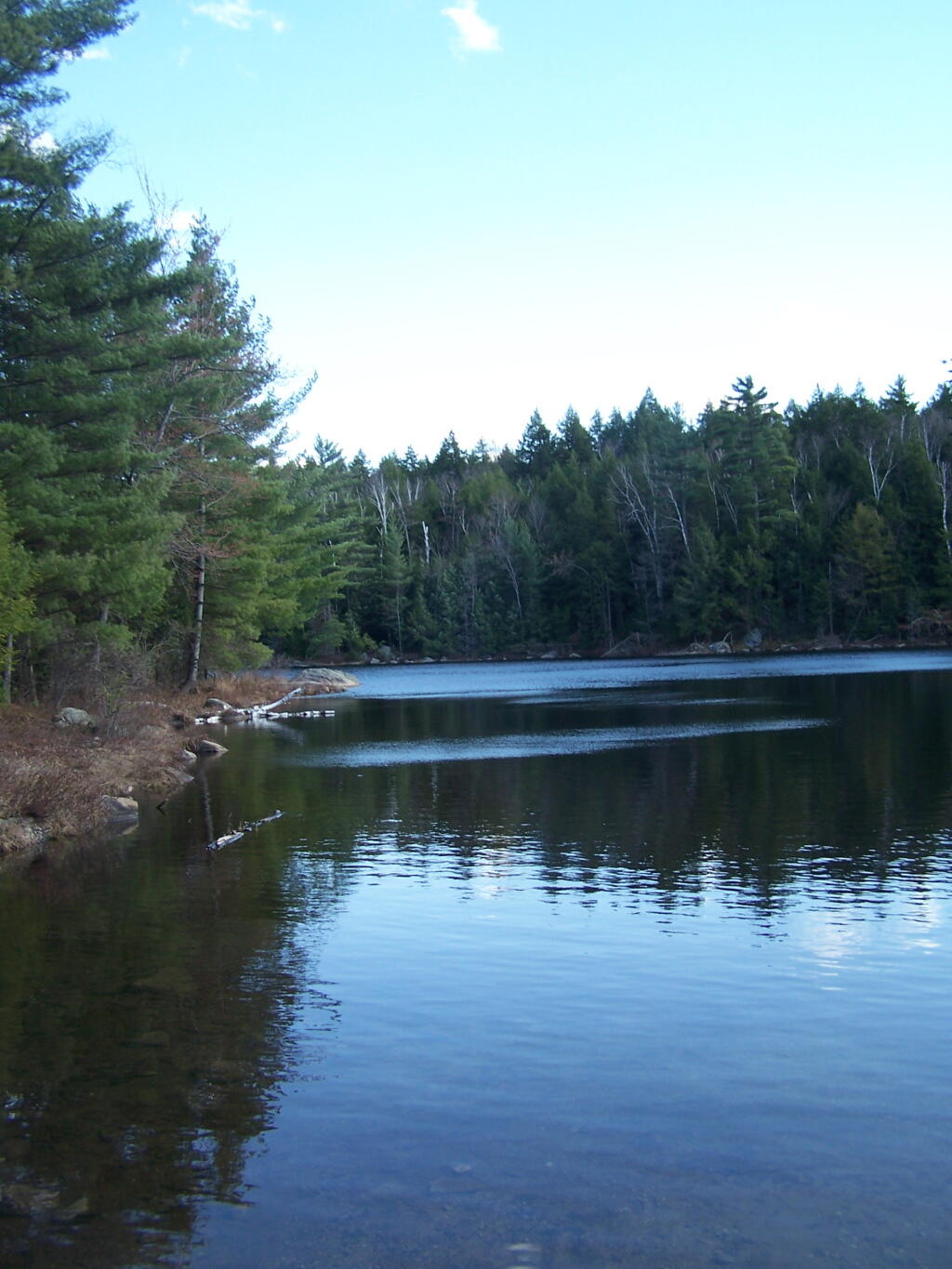
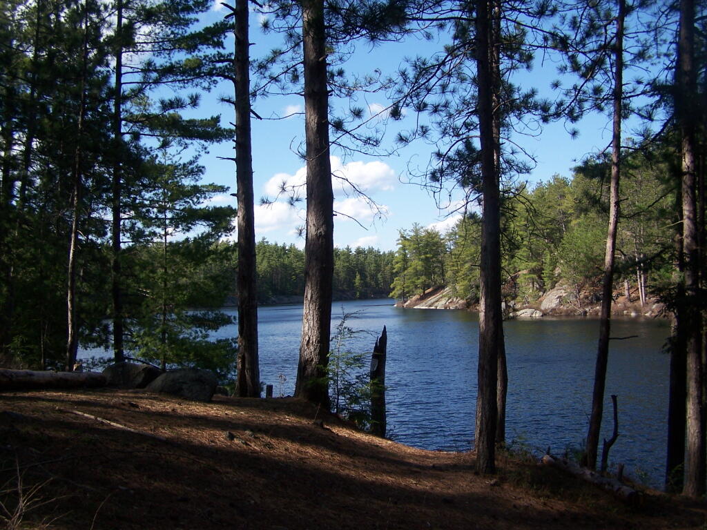
At end of Crane Pond Road is Crane Pond (not surpisingly!) There is a parking area here, and Crane Pond is known for it’s good fishing and beauty.

Crane Pond

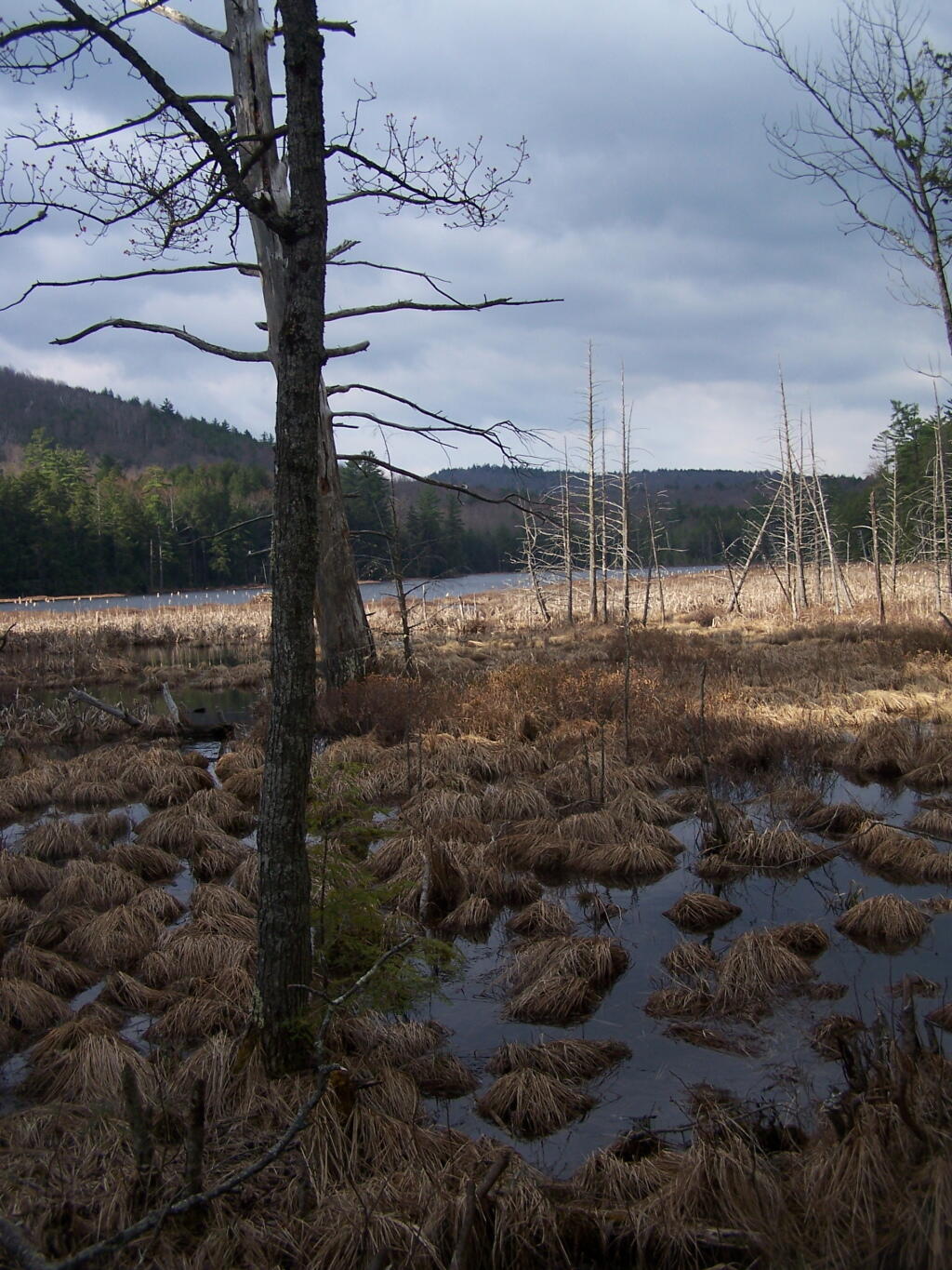
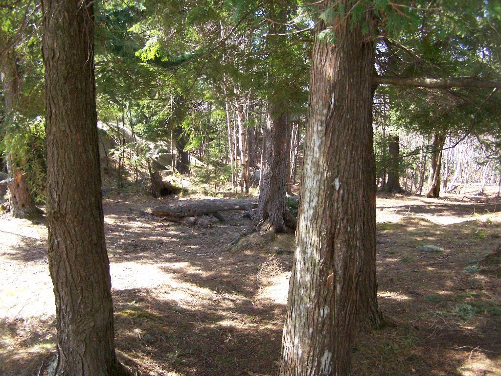
Reaching Glidden Marsh on the Pharaoh Mountain Trail. Pharoah Mountain is in the distance, with the peak sticking up. Most of the trail is relatively flat, until you reach the mountain, and then you start climbing.

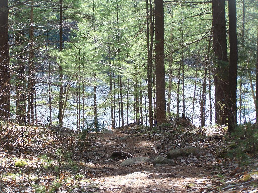
 Glidden Marsh Through Trees

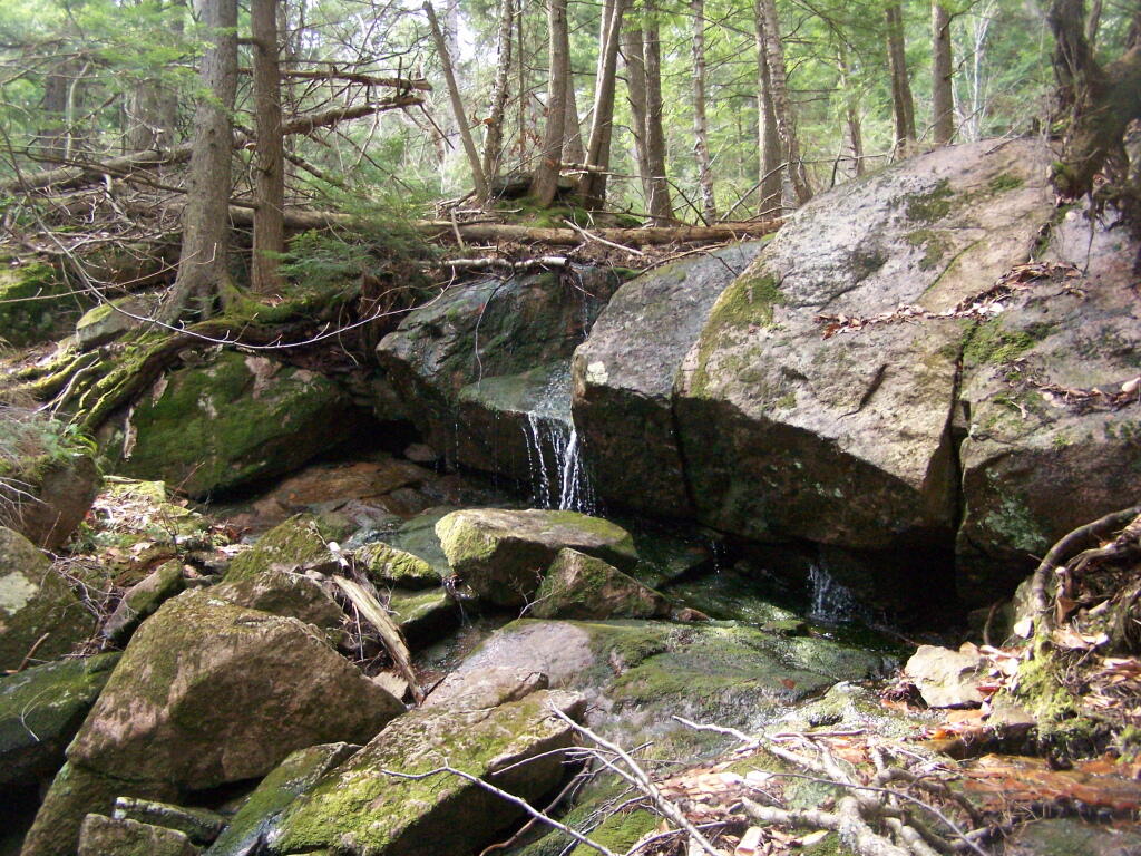
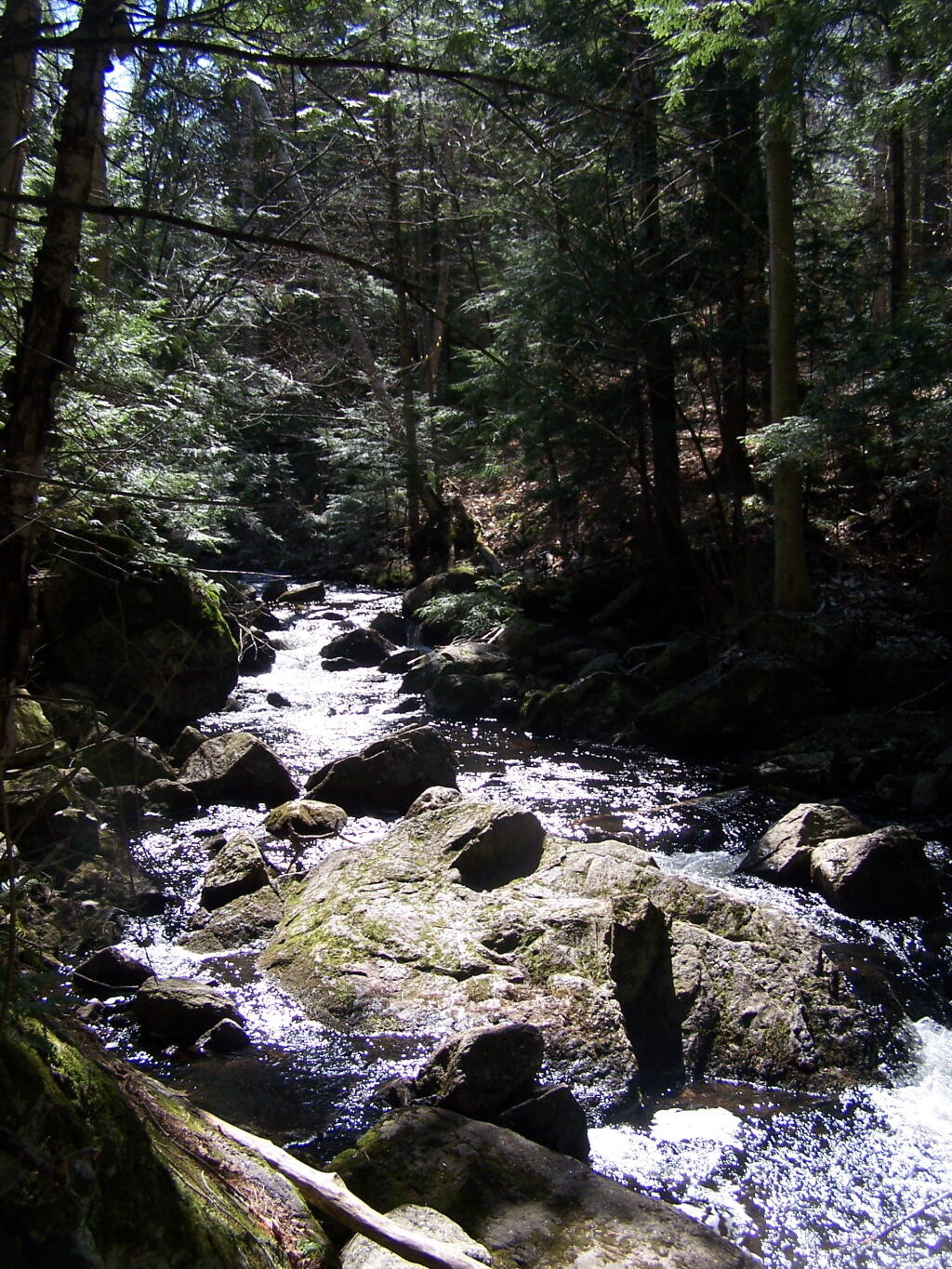
About halfway up there, there is the most charming little water fall.

Small Waterfall

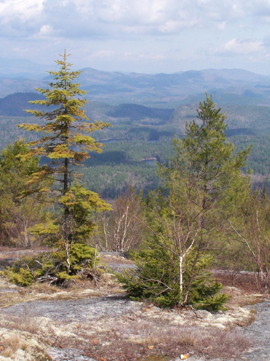
As you climb, views become progressively better.

Clearing Out to Be Quite Nice

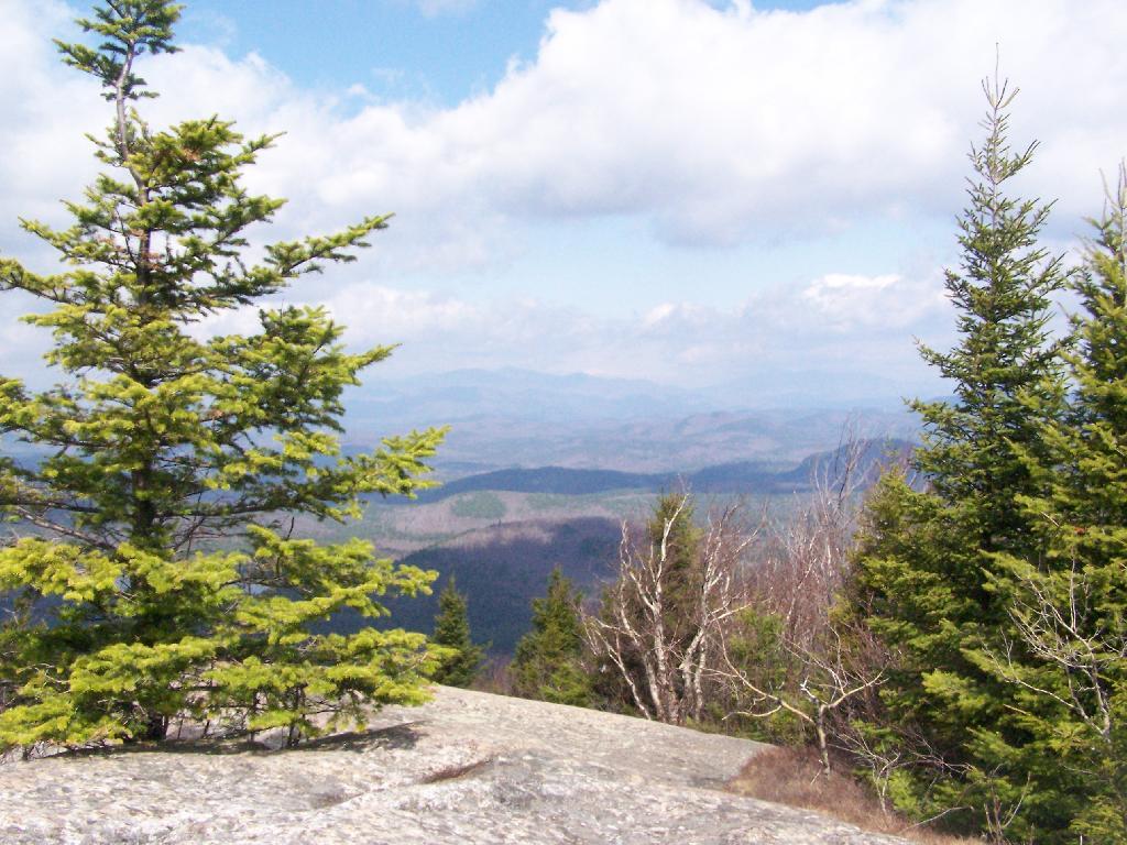
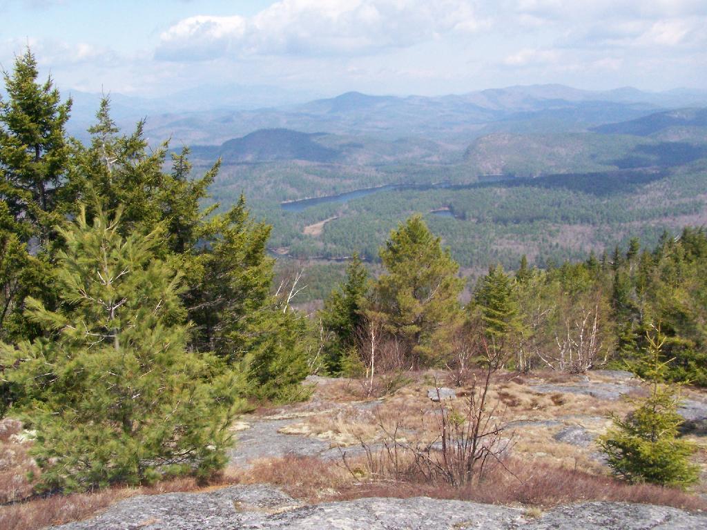
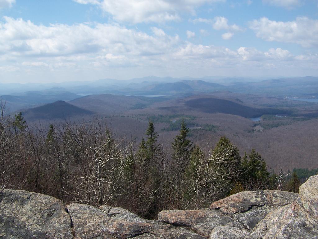
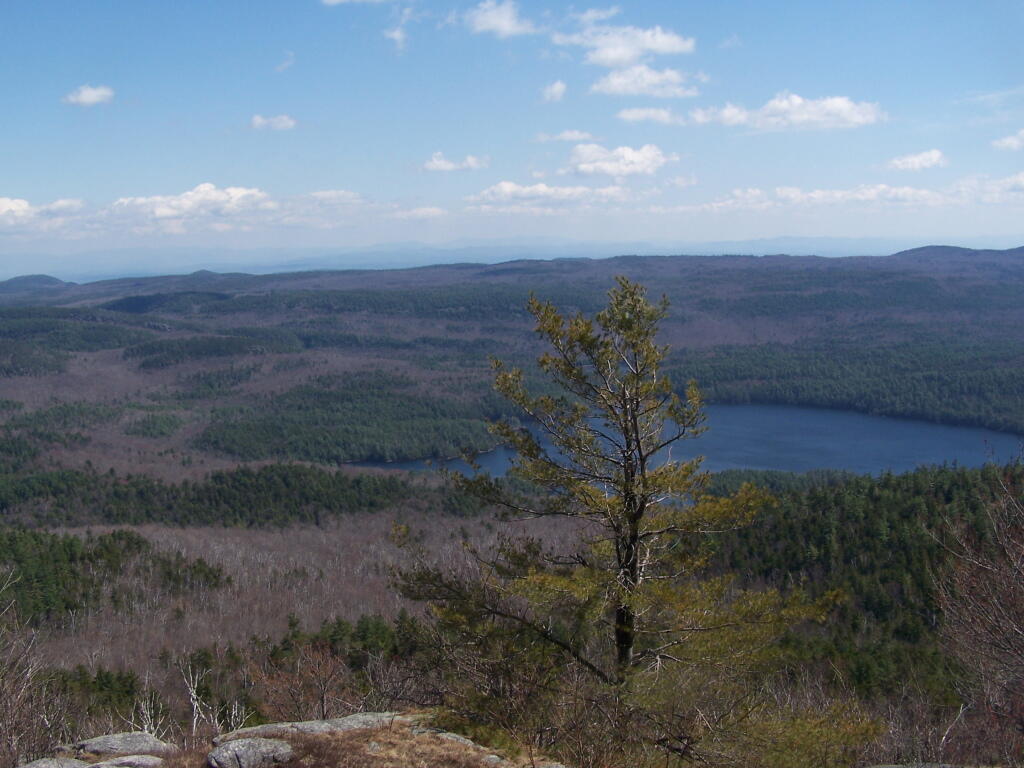
Reaching the summit, there are views in almost all directions, although you have to wonder around the top of the mountain to get all views. Here is looking North-East toward Ticonderoga. You can see Lake Champlain in the distance — barely, along with Crane Pond, Alder Pond, Oxbow Lake, and other features up close.

North East

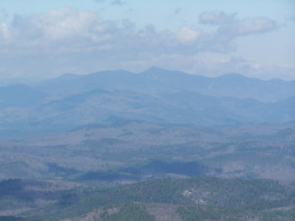
On the northernly view, you have nice views of the High Peaks Region of the Adirondacks, with Mount Marcy and Alonquin Mountains peaking out top.

 Mount Marcy

To the south-west, there are view of Gore Mountain (ski trails still with snow on it as of April 11).

South-West Towards Schroon Lake

There also is a primative campsite on top of Pharaoh Mountain.

 Primative Campsite on Pharaoah Mountain

To the South-East there is Pharaoh Lake, which I did not visit, but the maps show about 5 lean-tos surround it.

Pharaoh Lake

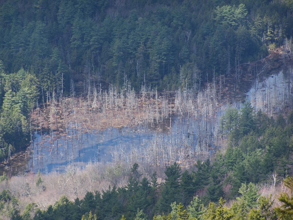
Desolate Swamp is quite purty from the mountain.

Desolate Swamp

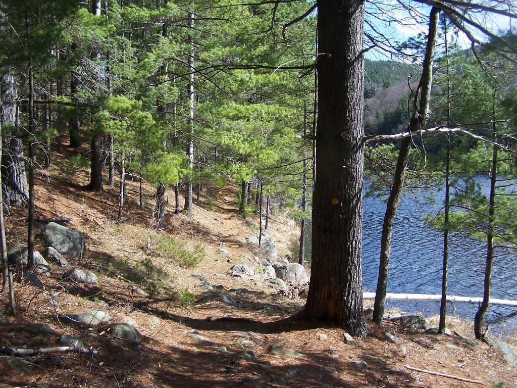
After hiking up the mountain, I took a side trip to the beautiful Oxbow Pond, and the other side of Glidden Marsh. Here is the Long-Swing Trail along the edge of Glidden Marsh, near the turn off to Oxbow Lake.

Along Long Swing Trail at Glidden Marsh

Oxbow Lake is so beautiful, and probably real deep.

Oxbow Through Trees

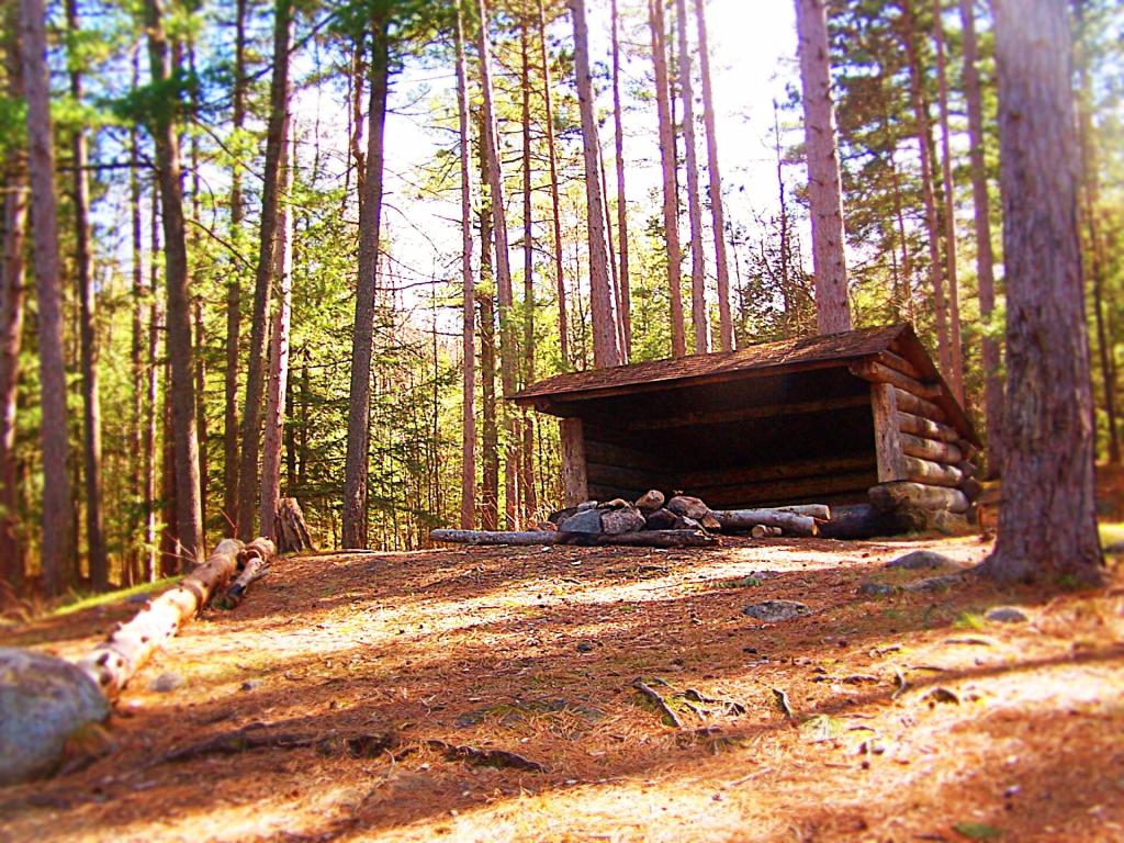
The Oxbow Lean-To. It looks well used, but is in good shape, and has a decent outhouse a little ways from it, a fire pit, along with lots of water for cooking in the nearby pond.

Oxbow Pond LeanTo

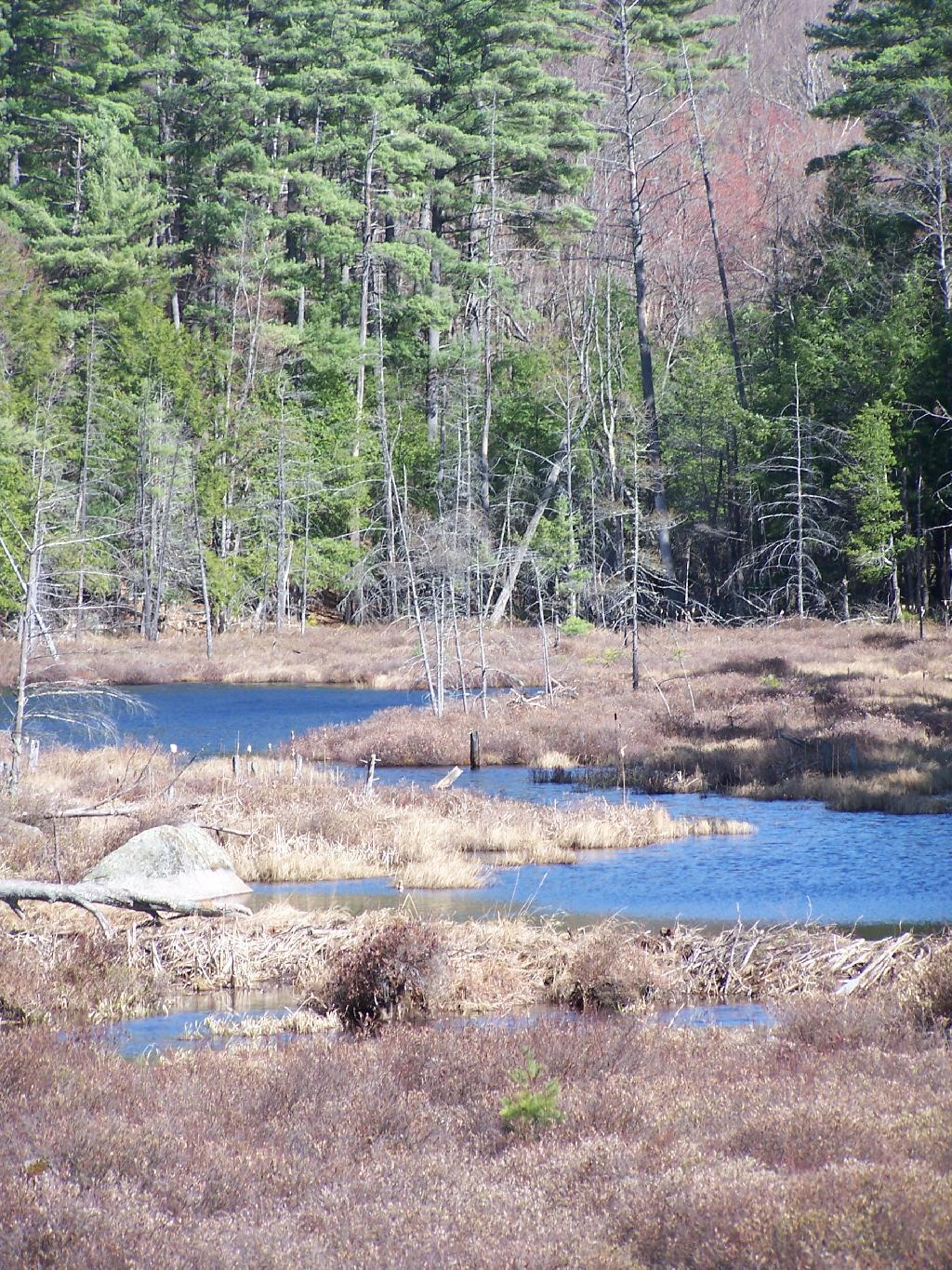
The one end of Oxbow Lake is swampy, as it runs between outfall of Crab Pond down to Oxbow.

Swampy End of Oxshoe Pond

Heading back to the truck, the sun flickers on the outlet of Glidden Marsh.

 Outlet of Glidden Marsh

An amazing hike. Definitely want to come back, and possibly spend a night at Oxbow Pond.
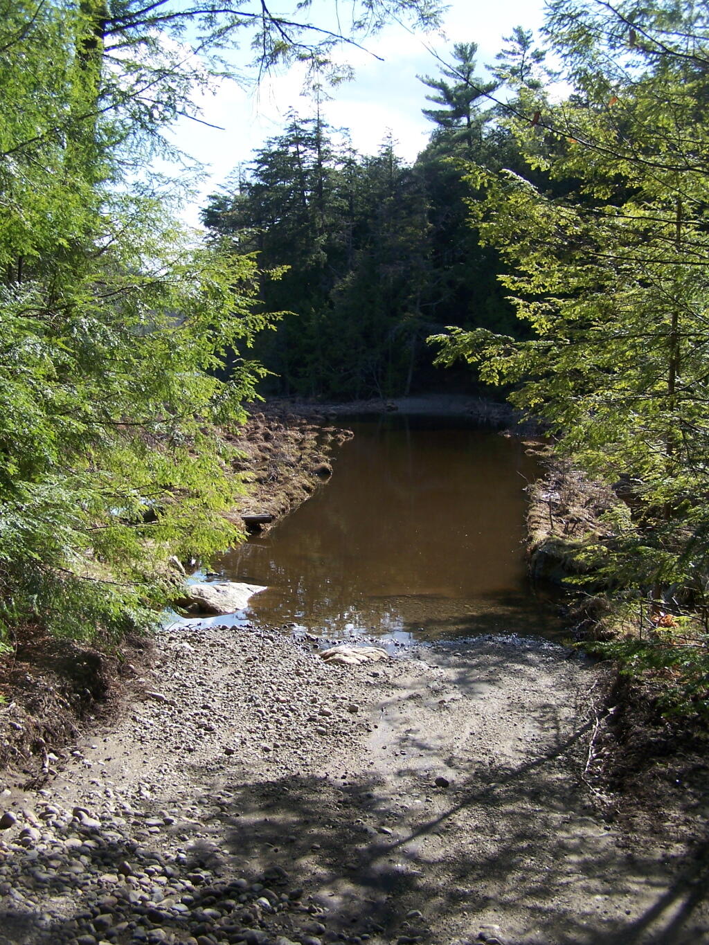
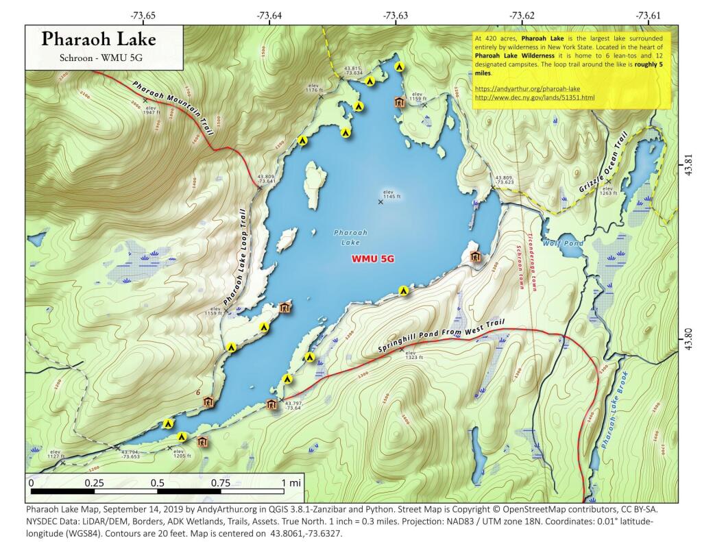
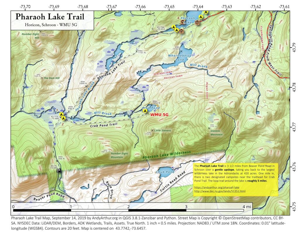
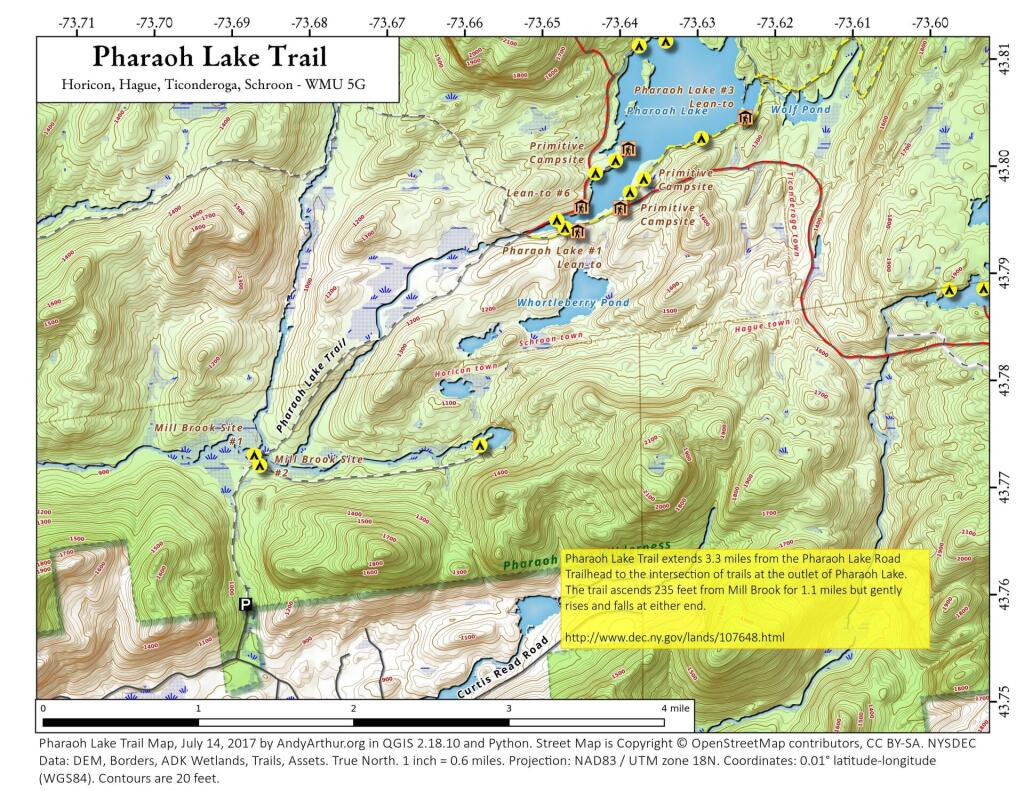
Pharaoh Lake Trail

 Pharaoh Lake Trail

The most popular way to access Pharoah Lake is via the Pharoah Lake Trail off of Pharoah Road and Beaver Pond Road in Schroon. The Pharaoh Lake Trail extends 3.3 miles from the Pharaoh Lake Road Trailhead to the intersection of trails at the outlet of Pharaoh Lake. There is no access to the north shore at this point, due to the bridge over Pharoah Lake Brook being closed at this time.

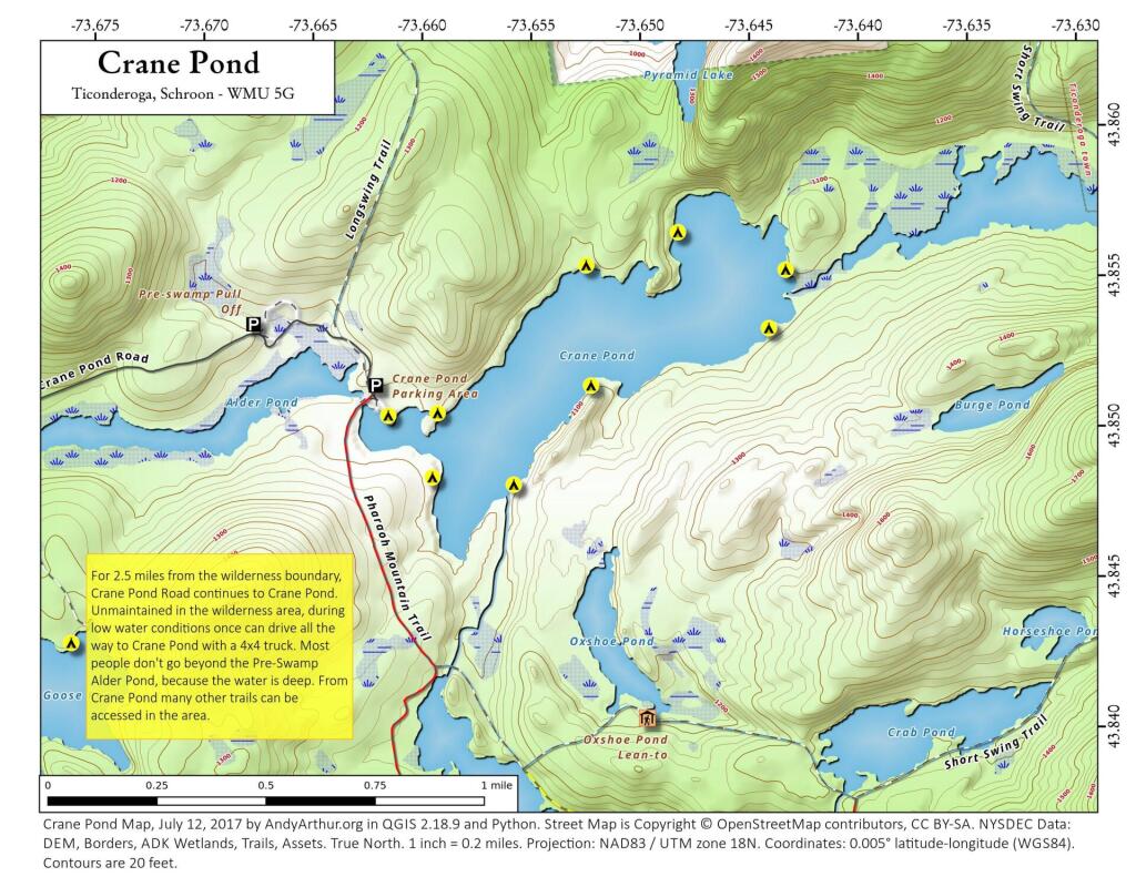
Crane Pond

 Crane Pond

This updated map of Crane Pond in the Pharoah Lake Wilderness shows the location of the campsites along the lake.

September 17, 2019 Night

Good evening! Clear and 61 degrees at the NYS Capitol, waiting for the bus to take me home. 🚏 There is a north-northeast breeze at 5 mph. πŸƒ. The dew point is 45 degrees. A fairly nice autumn evening.

I went over to John Wolcott’s house for a while this evening. πŸ” No real interesting historical documents were found tonight. Mostly duplicates of existing documents. Definitely gets dark though early this time of year.

I finally took off the week of October 5th for my West Virginia trip. πŸ‚ Should be a nice week, assuming the weather is decent. Probably with September closing out so warm and sunny it will be rainy and cold by then but do be it. Might still be some leaves left by then in the High Country of West Virginia.

I’m going to be home 🏑 too late to fix the solder joint on the display in my bedroom πŸ“Ÿ but it’s working fine now that I’m back feeding power using a USB cable to the microprocessor. Tomorrow is the Pine Bush Dinner, so I’ll be home even later tomorrow.

Tonight will be mostly clear πŸŒƒ, with a low of 47 degrees at 6am. Four degrees below normal, which is similar to a typical night around September 26th. North wind around 5 mph becoming calm in the evening. In 2018, we had light drizzle in the evening, which became partly cloudy by the early hours of the morning. It was sticky. It got down to 68 degrees. The record low of 35 occurred back in 1986.

Tonight will have a Waning Gibbous Moon πŸŒ– with 78% illuminated. The moon will set at 10:44 am. The Last Quarter Moon is on Friday night with mostly clear then patchy fog skies. The Hunter Moon 🌝 is on Saturday, October 12th. The sun will rise at 6:36 am with the first light at 6:08 am, which is one minute and 5 seconds later than yesterday. πŸŒ„ Tonight will have 11 hours and 35 minutes of darkness, an increase of 2 minutes and 51 seconds over last night.

Tomorrow will have patchy fog before 9am. Otherwise, sunny 🌞, with a high of 70 degrees at 3pm. One degrees below normal, which is similar to a typical day around September 21st. Maximum dew point of 47 at 8am. Calm wind becoming north 5 to 7 mph in the morning. A year ago, we had mostly sunny skies. It was sticky. The high last year was 84 degrees. The record high of 91 was set in 1891.

That should be another nice autumn day, πŸ‚ before the heat builds in for the weekend. That said, even a hot late September weekend really isn’t that oppressive and I doubt it would be super humid. I do look forward to at getting one final night up at Pisceo-Powley Road before winter.

In four weeks on October 15 the sun will be setting at 6:13 pm,πŸŒ„ which is 48 minutes and 39 seconds earlier then tonight. In 2018 on that day, we had mostly cloudy, rain showers and temperatures between 61 and 39 degrees. Typically, you have temperatures between 60 and 40 degrees. The record high of 86 degrees was set back in 1897.

I hear Gulf Brook Road to Boreas Pond is now open. 🚀 I’m thinking about checking that out come mid to late November assuming that there is no snow β›„ up there. I bet by then all of the crowds will be gone, especially on a week day. Might be the same trip that I also hike back to Pharoah Lake and maybe camp along the Vanderwhacker River in Newcomb. β›Ί That could be a nice adventure for late November.

I was looking below and fifteen weeks is all that’s left this year of 2019. ⏳ New Years Eve 2020 will be hear before you know it. Time sure goes fast. I can’t believe we are already contemplating the end of the decade. Okay maybe not the decade but the 2010s are nearly done and the 2020s are just around the corner. The way I look at it – the next day may be problematic for our county but I’m entering my prime earning years – my 40s and if I work hard and save I’ll be much closer to my goals by the end of the 2020s. I might toast the end of the 2010s in the wilderness this year, it depends on how much snow there is at that point. πŸŽ‰ Maybe camp at Cherry Ridge in Brookfield if it’s still snow free at that point?

Looking ahead, October πŸ›₯ is in 2 weeks, Election Day 2019 πŸ—³οΈ is in 7 weeks, Regular Deer Season in Southern Zone 🦌 is in 2 months, 7:15 AM Sunrise βŒ›οΈ is in 12 weeks, Christmas Eve πŸŽ… is in 14 weeks, New Years Eve πŸŽ† is in 15 weeks, Coldest Week of the Year 🌬 is in 17 weeks and Martin Luther King Day πŸ–€ is in 18 weeks.

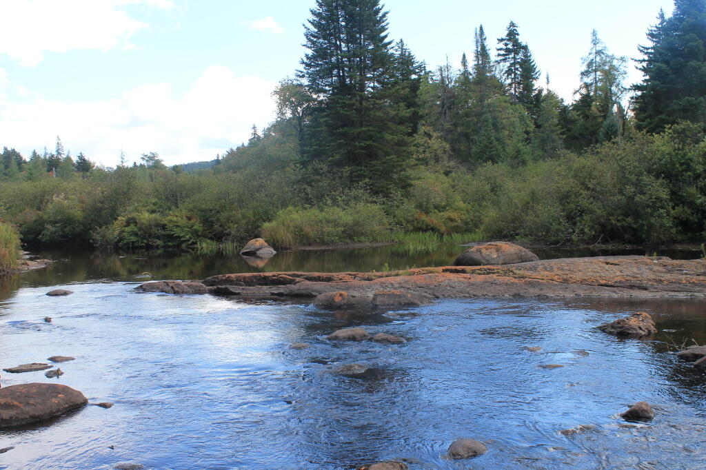
Natural Rock Dam at End of Red River