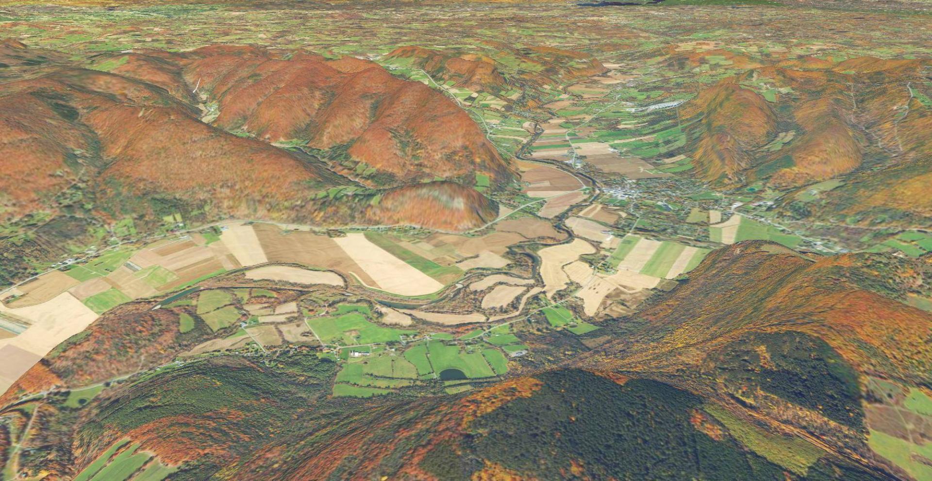
Schoharie Valley Download a High Resolution JPEG Image of the Schoharie Valley or an Adobe Acrobat Printable PDF of the OrthoSchoharie Valley. About Schoharie Valley .... 2022 NAIP Aerial Image rendering of the valley. Maps and InteractivesSchoharie Valley Topographic MapNational Land Cover Dataset – Schoharie ValleyMiddleburgh CliffBohringer’s Fruit Farm and Shauls Farm FieldsShauls Farms Lands in Schoharie CountySchoharie ValleyNorthern Schoharie Creek... photos, maps and other content from from Schoharie Valley. Leave a Reply Cancel replyYour email address will not be published. Required fields are marked *Comment * Name * Email * Website Save my name, email, and website in this browser for the next time I comment. Δ
Maps and InteractivesSchoharie Valley Topographic MapNational Land Cover Dataset – Schoharie ValleyMiddleburgh CliffBohringer’s Fruit Farm and Shauls Farm FieldsShauls Farms Lands in Schoharie CountySchoharie ValleyNorthern Schoharie Creek... photos, maps and other content from from Schoharie Valley.
Leave a Reply Cancel replyYour email address will not be published. Required fields are marked *Comment * Name * Email * Website Save my name, email, and website in this browser for the next time I comment. Δ