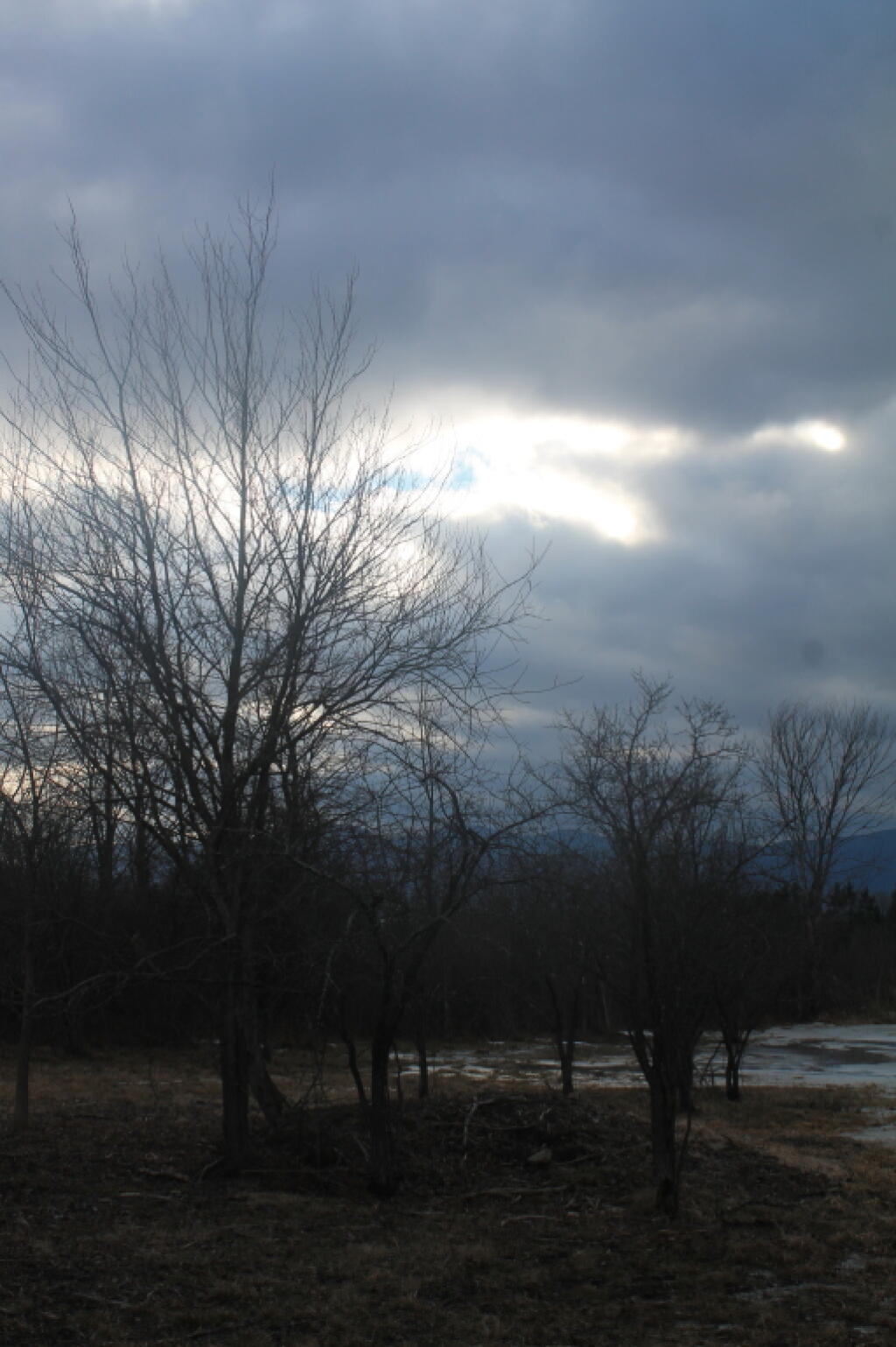
Good morning! Yeah, it’s Friday! If you look through the cold blue skies you can see the weekend not that far in the distance. Four weeks to Valentines Day ❤️. Sunny and 12 degrees in Delmar, NY. 🌞 Breezy, ️16 mph breeze from the northwest 🌬 . The current wind chill is -5. No snow on the ground but it is frozen hard. 🍃 Going to be cold the next few days and the frackers will get rich or so I’m told by the people who want to stop the pipeline. ⛔ Things will start to thaw out at Sunday around 8 am. 🌡️
Cold morning ❄ but that’s to be expected on the coldest week of the year. That said with the heat turned in the past last night it felt quite comfortable so no complaints there. I had pancakes for breakfast 🍳 and was out early getting milk from Stewarts 🐮. Honestly before sunrise 🌅 this morning it was quite nice even if the mercury was low because the wind had died down before dawn.
Today will be sunny 🌞, with a high of 21 degrees at 2pm. Nine degrees below normal. Maximum wind chill around 0 at 10am; Northwest wind 13 to 16 mph, with gusts as high as 26 mph. So does that mean no wind chill? A year ago, we had mostly sunny skies in the morning with some clearing in the afternoon. The high last year was 24 degrees. The record high of 62 was set in 1889. 10.9 inches of snow fell back in 1994.❄
Lookingat the Hudson River ⛲ it is still totally unfrozen with open water 💦 all the way. I guess that’s not unheard of this time of year and it was quite warm last week but still a bit odd for mid January. Mid freeze in February, who knows it seems like we are in a cooling trend.
Solar noon 🌞 is at 12:06 pm with sun having an altitude of 26.6° from the due south horizon (-44.3° vs. 6/21). Not going to help a bit today. The golden hour 🏅 starts at 4:05 pm with the sun in the southwest (235°). 📸 The sunset is in the west-southwest (242°) starting at 4:46 pm and lasts for 3 minutes and 17 seconds with dusk around 5:20 pm, which is one minute and 11 seconds later than yesterday. 🌇 The best time to look at the stars is after 5:55 pm. At sunset, look for clear skies 🌃 and temperatures around 20 degrees. The wind chill around sunset will be 7. ☃️ Tonight’s the night I kind of wish I had my old office back. 🏢 Mountains would be purty. 🗻 There will be a northwest breeze at 13 mph. Today will have 9 hours and 27 minutes of daytime, an increase of one minute and 42 seconds over yesterday.
Tonight will have increasing clouds ☁, with a low of 4 degrees at 5am. 10 degrees below normal. Maximum wind chill around 2 at 6pm; Northwest wind 5 to 10 mph. In 2019, we had mostly clear skies in the evening, which became light snow by the early hours of the morning. It got down to 21 degrees. The record low of -19 occurred back in 1957.
Tomorrow will snow, mainly after 3pm. 🌨 High of 25 degrees at 6pm. Four degrees below normal. Light and variable wind becoming south 9 to 14 mph in the morning. Chance of precipitation is 90%. New snow accumulation of 2 to 4 inches possible. A year ago, we had mostly sunny skies in the morning with some clearing in the afternoon. The high last year was 35 degrees. The record high of 59 was set in 1973. 7.9 inches of snow fell back in 1891.❄
Looking ahead to Sunday, mostly cloudy, with a high near 34. West wind 13 to 16 mph. ☁ With that wind it will feel cold on Sunday but I’m thinkingbetween thewind, the above freezing temperatures and the modest snow expected I’m not thinking that much snow will stick around. Typical average high for the weekend is 30 degrees.
🌹🌻🌼Only 62 days remain until the first day of calendar spring!🌹🌻🌼
Looking ahead, there are 4 weeks until Valentines Day ❤️ when the sun will be setting at 5:25 pm with dusk at 5:54 pm. On that day in 2019, we had snow showers, partly cloudy and temperatures between 37 and 26 degrees. Typically, the high temperature is 34 degrees. We hit a record high of 63 back in 1946.