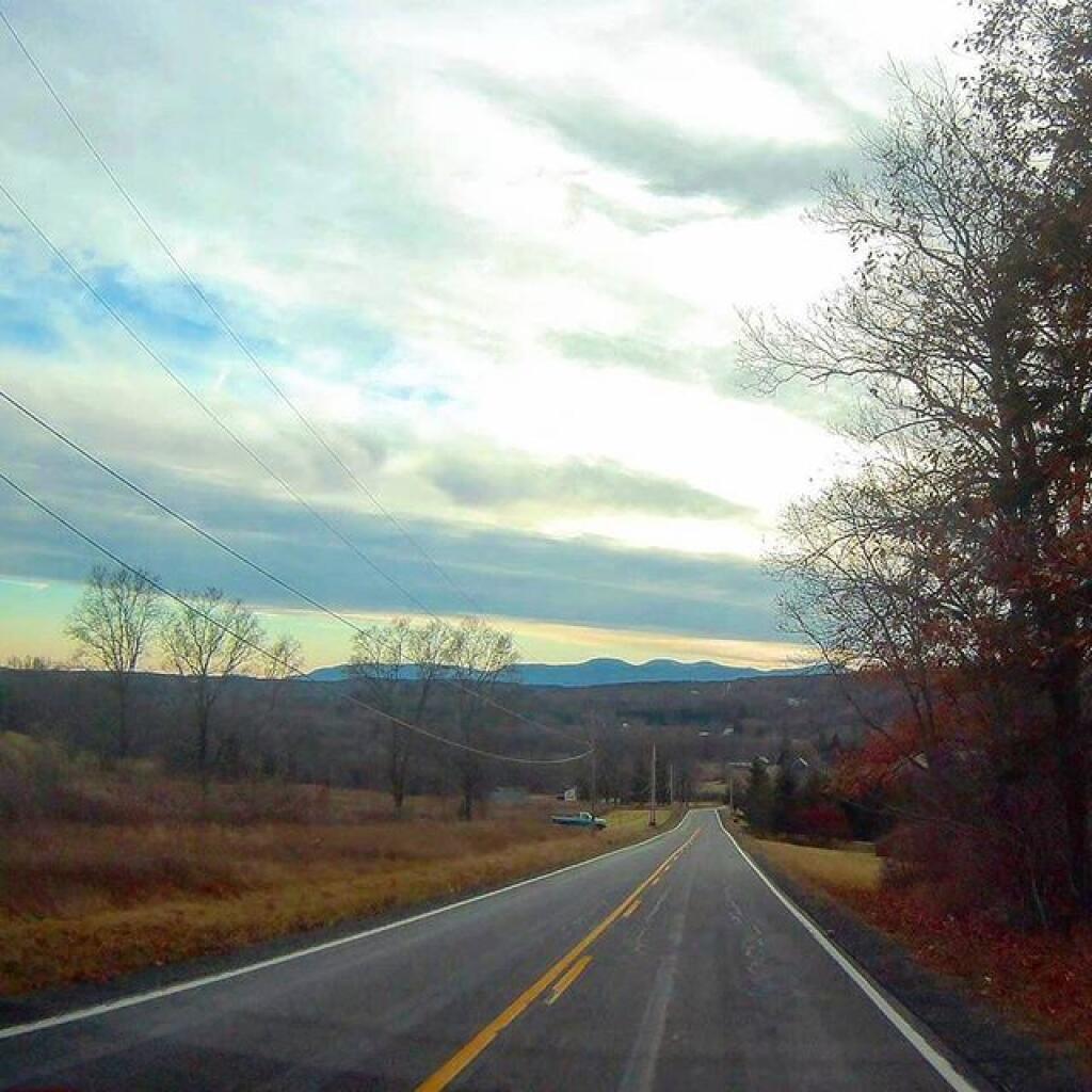
What lurks ahead ain’t always obvious | October 8, 2021 Saturday October 19, 2019 — Westerlo, New York
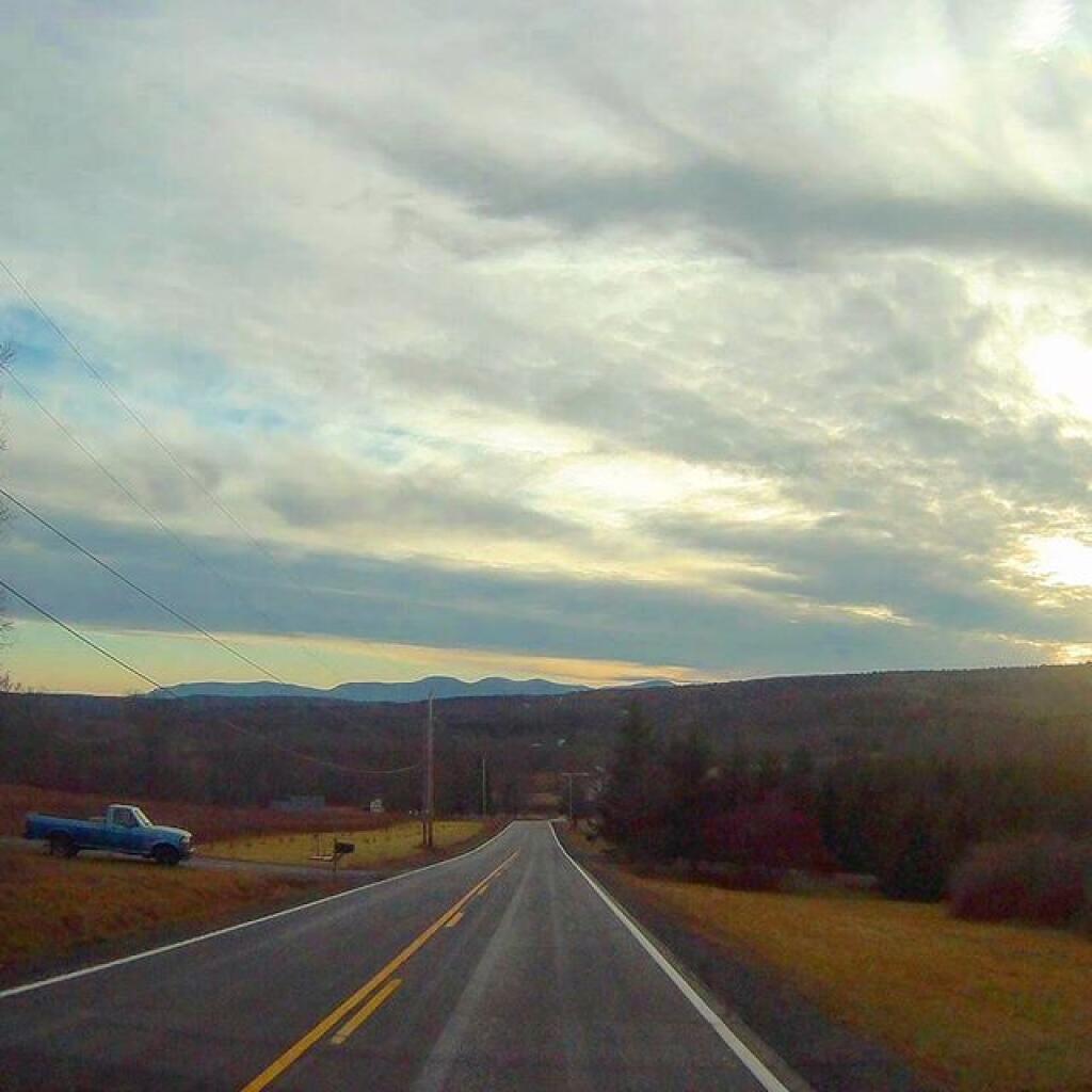
Tan Hollow Road Andy | February 11, 2021 Heading down Tan Hollow Road in Westerlo as dusk approached.