
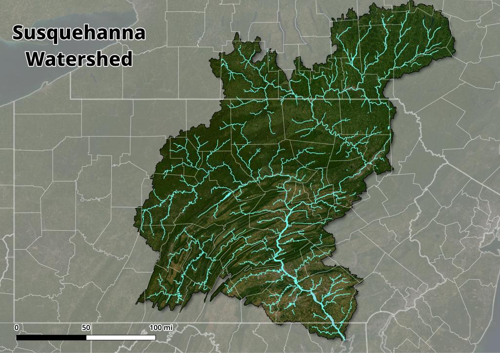
NYS Watersheds
This map shows the 8-digit watersheds that intersect New York State. These hydrologic unit boundaries provide a uniquely identified and uniform method of subdividing the state into large drainage areas at 1:250,000 scale.
Data Source: 8-Digit Watersheds, New York State, 1994. U. S. Geological Survey (USGS). CUGIR. https://cugir.library.cornell.edu/catalog/cugir-007314


![Untitled [Expires February 24 2025]](https://andyarthur.org//data/photo_017038_large.jpg)

