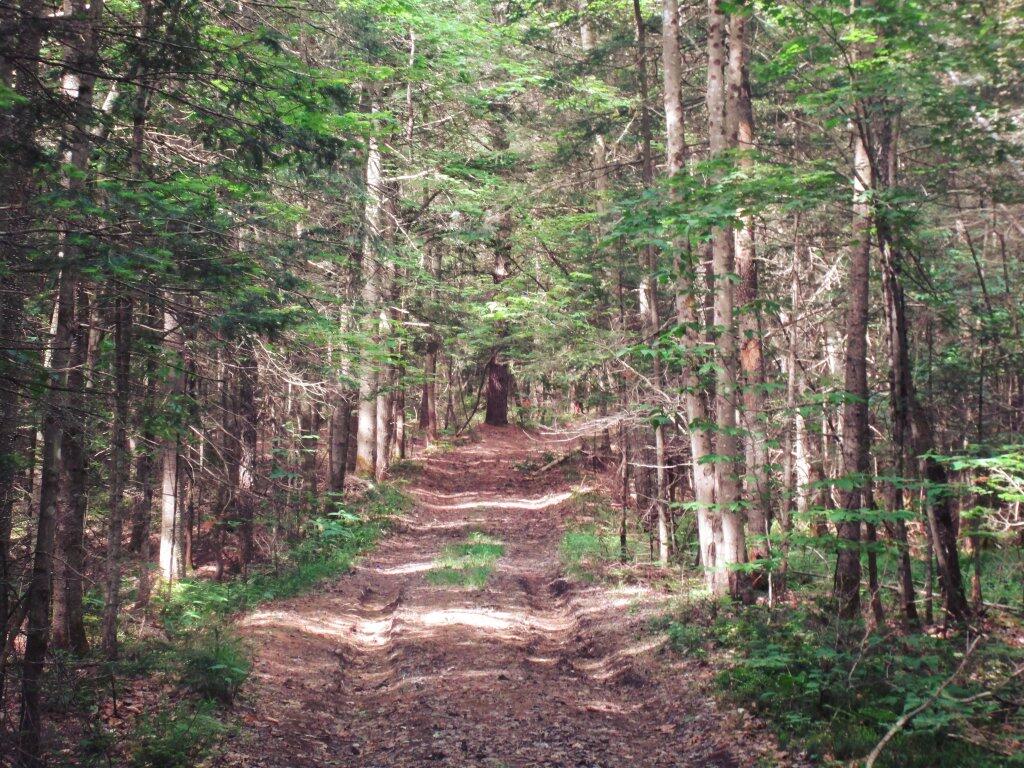
Pumpkin Hollow Road, past the hunting camps narrows down to a small, rutted track in the woods until it's terminus in a small parking area at the Doig Creek. This section of road is only recommended for high-clearance vehicles, there is parking before this section just past the hunting camps.
Taken on Saturday June 9, 2018 at Wilcox Lake Wild Forest.
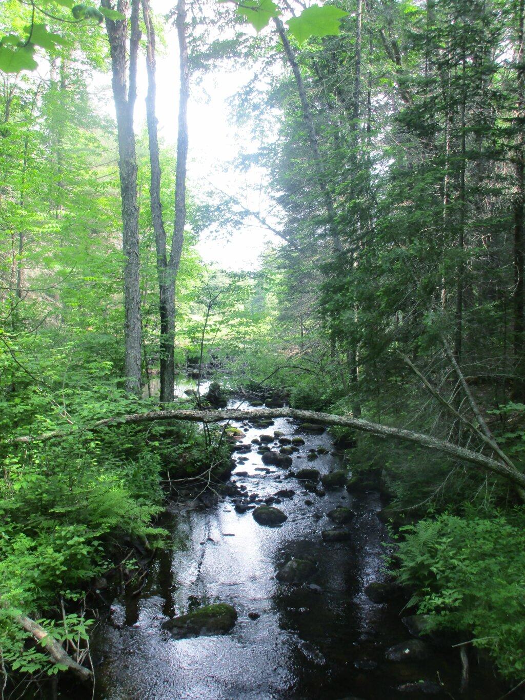
No, I didn't make up the name Doig Creek. Its outside of Wells/Northville. http://mapper.acme.com/?ll=43.35815,-74.23519&z=13&t=T&marker0=43.35815%2C-74.23519%2C6.1%20km%20SE%20of%20Wells%20NY
Taken on Saturday June 9, 2018 at Wilcox Lake Wild Forest.
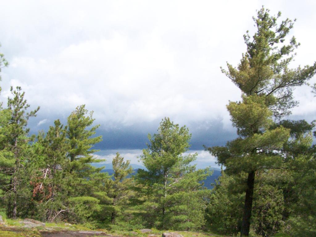
The vastness of the Adirondack Mountains reminds me partially of being out west once again.
Taken on Saturday May 30, 2009 at Tongue Mountains.
Sitting Down at Five Mile Point.
Taken on Saturday May 30, 2009 at Tongue Mountains.
Watch the rain come in this morning.
Taken on Saturday May 30, 2009 at Tongue Mountains.


