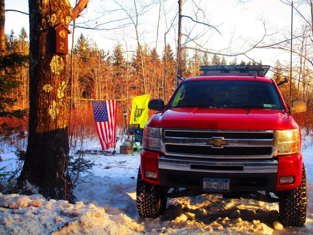
This was a tough year for getting out of town. My truck was getting creaking and old, rusted and always in risk of breaking down, though the only failure I had on vacation and that was a stupid loose lug-nut. But with high gas prices, inflation, and my desire to invest more in the markets, kept me home more then most other recent years.I also focused on destinations where I could camp for multiple nights, after parking my truck and leaving the engine off to save fuel.Many of the prime weekends of the year were raining.
Ultimately I camped 33 nights, which is about normal for me, though the trips were longer and closer to home.
My first camping trip of the year started out in February during President’s Day Weekend, February 20-22 at Rensselaerville State Forest. Winter camping and skiing, took a walk down to the explore the new OSI Parcel that will eventually be added to the state forest.
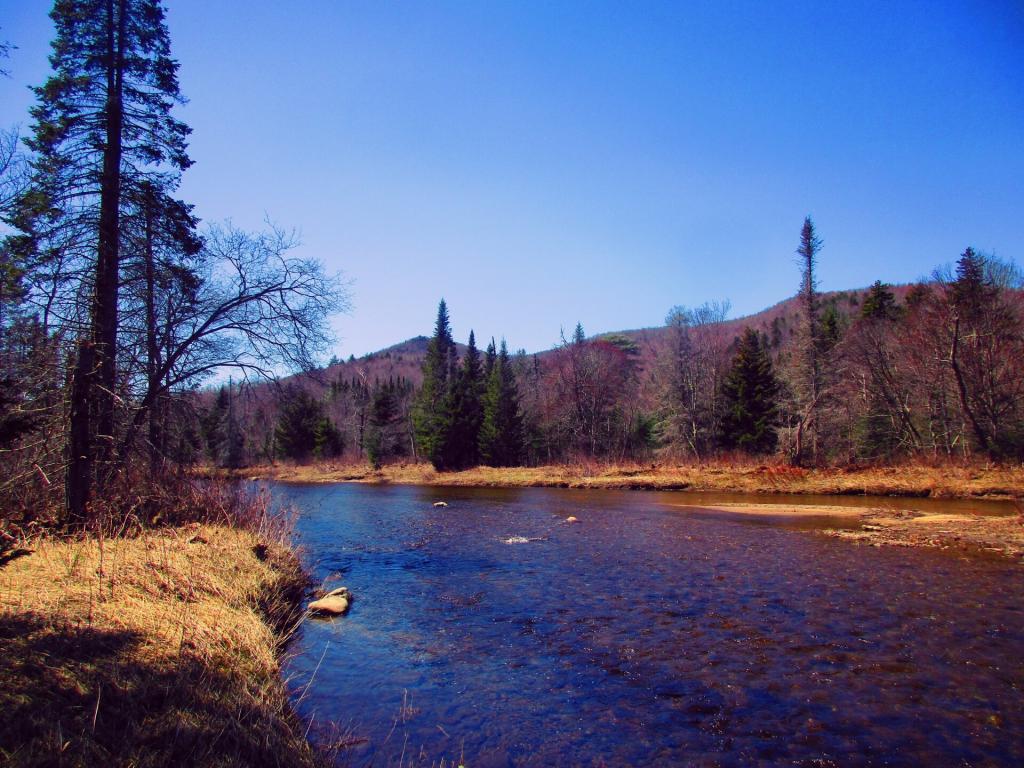
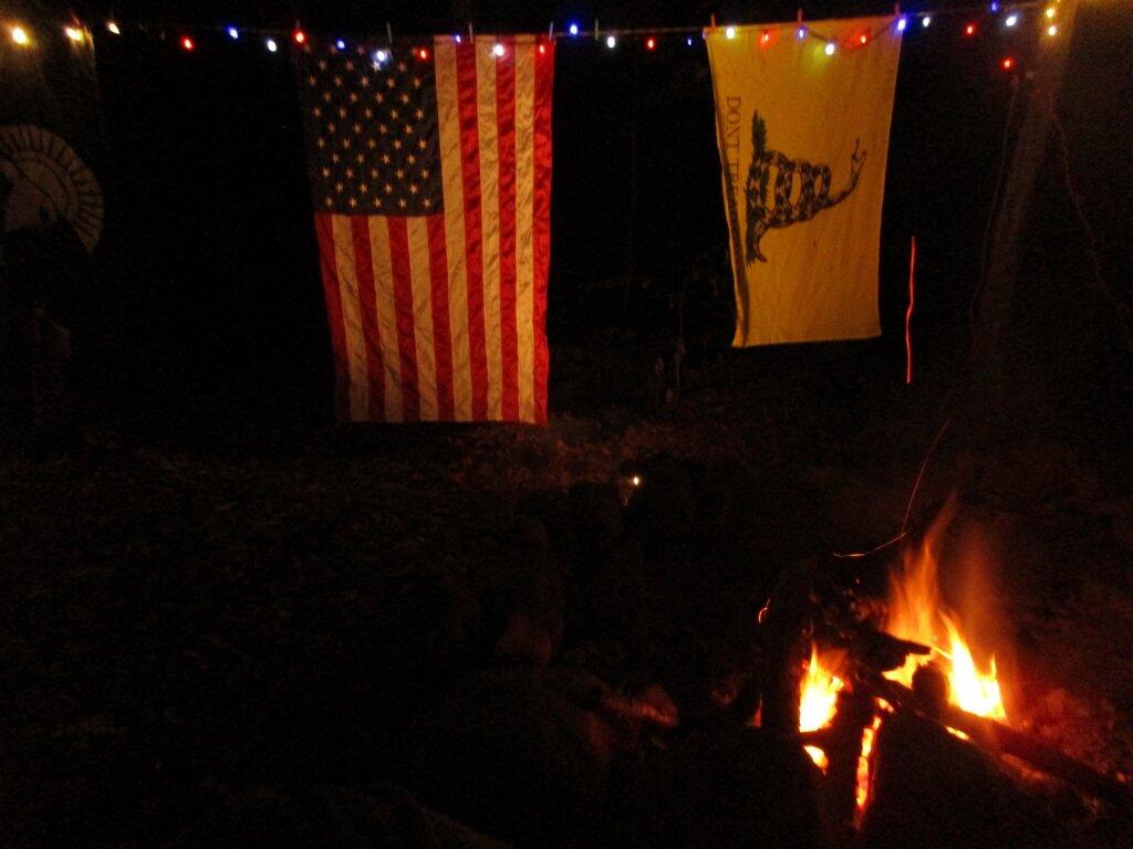
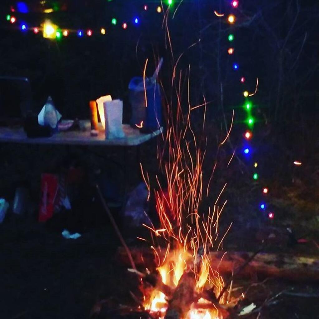
Second trip of the year was up to the East Branch Sacandaga River, April 22-24, which is always my big April trip complete with a big bonfire, hiking along the East Branch and back to the Gorge Falls.
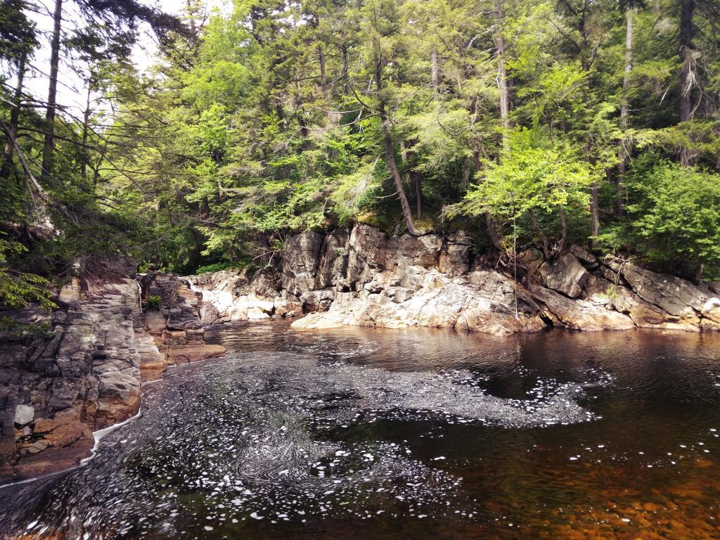
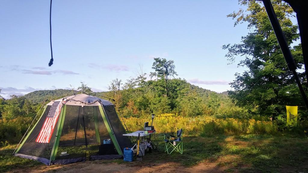
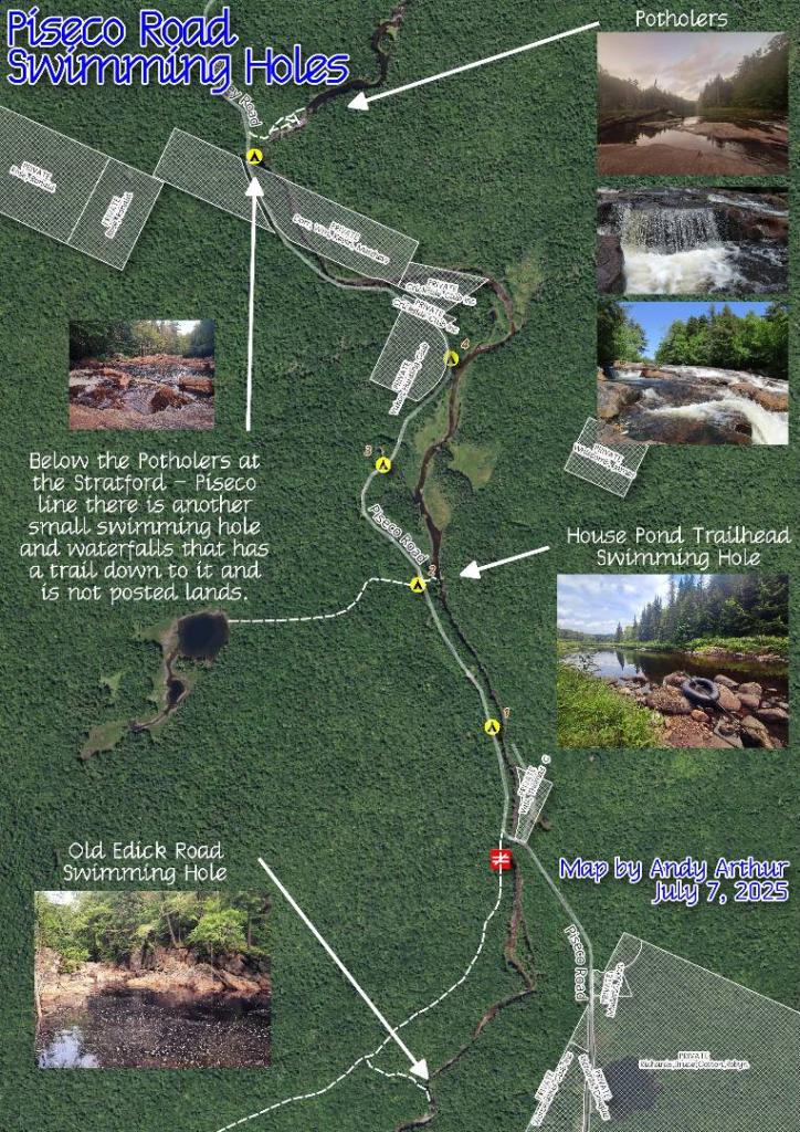
Third trip of the year was to Piseco-Powley Road’s House Pond Campsite, three nights, June 17-19, including exploring this previously unknown to me swimming hole. Had another big fire, spent a lot of time at the swimming hole across the way. Also visited the potholers a couple of times in the evening.
Then from June 19-21, I moved up the road to Powley Place Campsite 9 for two nights. Hiked back to Goldmine Stream Falls and then on Tuesday hiked back to Big Alderbed.
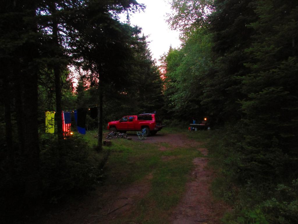
The forth trip of the year was July 16-19th which I camped up Campsite 5 on Piseco-Powley Road, about a mile north of the Potholers. I don’t love this campsite, as much as House Pond but it was still within walking distance from the Potholers, and is remote enough that I can listen to music as loud as I want, have big fires and shoot guns.
Fifth trip of the year was the Finger Lakes National Forest, camping off old Chicken Co-Op Road from July 30 to August 8, as my GPS likes to call it. Stayed at the same campsite all week, alternating between trips away from camp and staying in camp, mostly to save fuel and reduce costs. Brought my kayak, paddled Cayuta Lake. Spent a lot of time at Watkins Glen State Park. Had that loose lug nut on my truck.
Sixth trip of the year was to the Adirondacks, Labor Day Weekend and the Friday before, September 2-5th, namely that campsite in Perkins Clearing on Hardwood Hill up above Spectulator where I have excellent cell reception and can work remote. It was kind of a lazy trip with lots of clams, sweet corn and beer, though that Friday I worked remote and was busy with work, and then did day hikes from camp, specifically exploring Mud Lake Road, where I ran into a family of bears. It poured on Labor Day when I took down camp.
Seventh trip was a mid September remote-working trip up to Rensselearville State Forest, one of a series of three autumn trips up to the state forest only about 40 minutes from home. I chose to go there as I knew I could get home quickly if necessary with work being so busy, plus knowing I could get home if there was something I couldn’t do with my data plan on my cellphone. I think the dates were that Friday when I remote worked — September 16-19th.
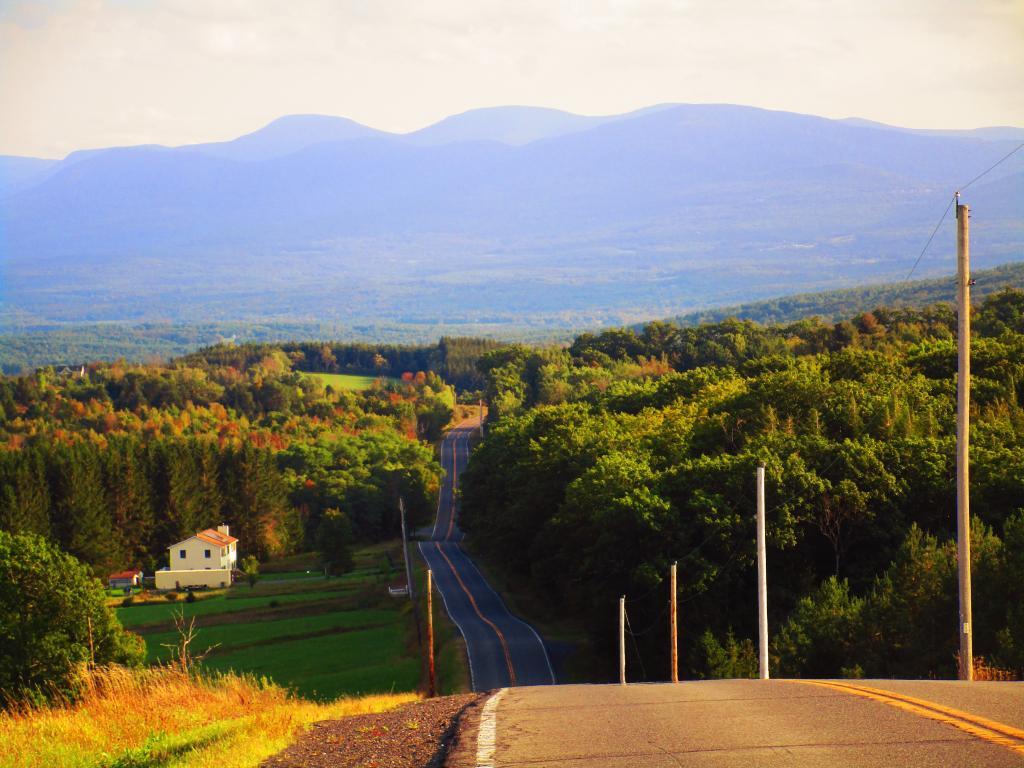
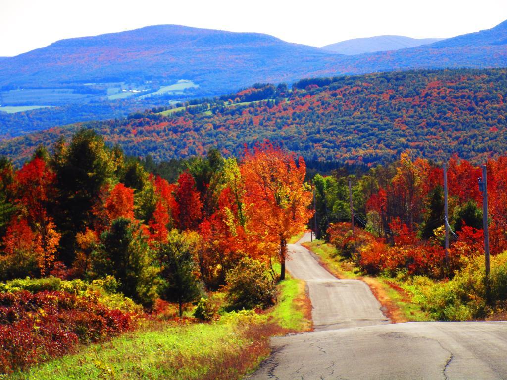
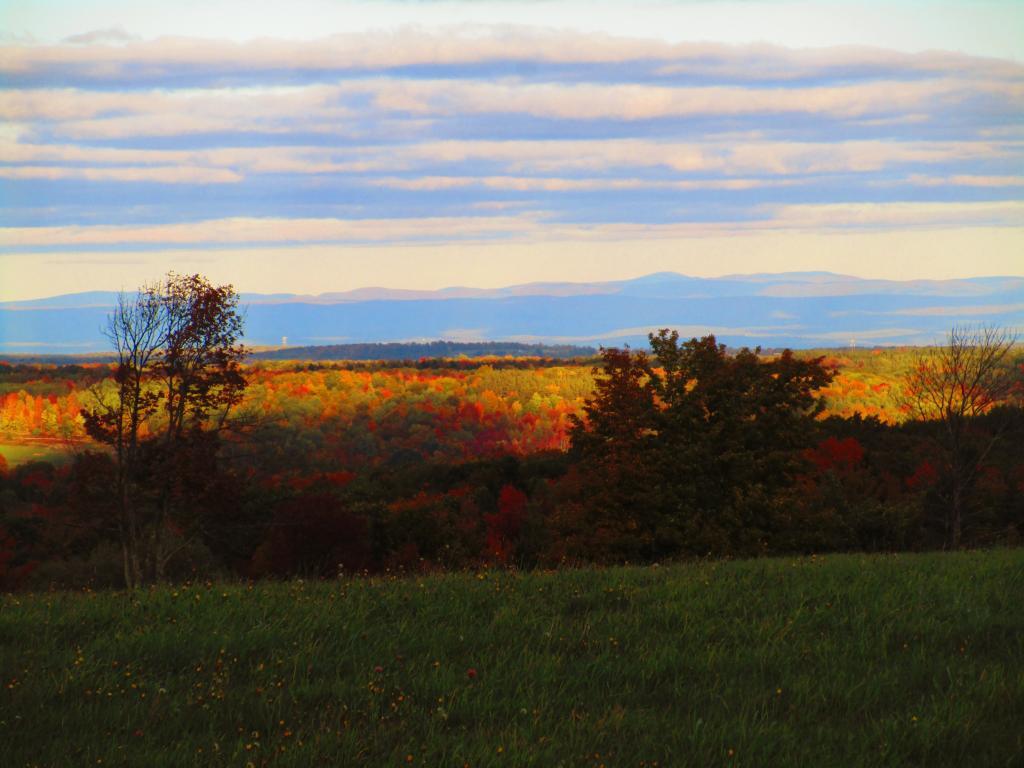
My eight trip was Columbus Day Weekend, Friday October 7 to Monday the 10th. I had originally planned to head up to the Adirondacks, but on my way up north, around Glenville I noticed my truck was swaying more then I would like around the corners, despite just recently being checked out at the shop. Plus heading up to the Adirondacks meant I would have dead spots, which was bad when I was supposed to be remote working, supervising three major political campaigns across the state. So I turned around and headed up to the Heldebergs. Ended up going to Rensselaerville State Forest again, for a colorful trip, especially when I hiked along Cheese Hill Road to the new OSI Parcel overlooking the Catskill Mountains and rural lands of Schoharie County and Potter Hollow. I probably should have brought my gun and got my hunting license, but I was constantly on the phone dealing with one crisis or another for work. Also spent Columbus Day hiking around Huyck Preserve for the bulk of the day before heading home, showering and going out to visit the folks.
My ninth trip of the year was back to Rensselaerville State Forest. This trip was planned to be there, the last week of Friday to Sunday, October 28-30th, while working heavily remote as the political campaigns I was managing was in their last stretch. It was kind of a chilly weekend and busy with work. But I had my heater, and I did find time to get out and walk, as the colors faded away. It was a nice weekend but it reminded me that autumn was certainly on the way.
The tenth trip of the year was back to the East Branch Sacandaga River. Hike back along the Stewart Creek Trail and camped for two fairly cold nights from Thursday December 8 – Saturday December 10th. Came back a day early as I wanted to check to see if I had jury duty. It wasn’t a bad weekend but everything was first cold from the previous day rain, and then everything was icy once things froze up. But I stayed warm by the campsite.
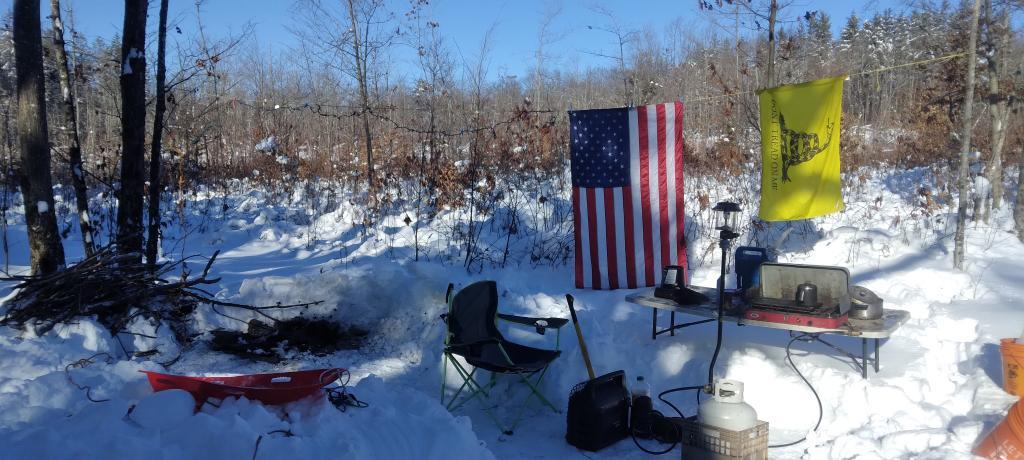
The eleventh and final trip of the year was to Rensselaerville State Forest, right where I started the year close to home. The snow was deep this time, some 2 feet deep with an even deeper snow bank to dig through. But I hot tented there for two nights, from Tuesday December 20-Thursday December 22. This was the only trip of the year when I didn’t camp in my truck.
Conclusions
I wouldn’t rank this as my greatest year ever, with the most adventures. But I made the best of the situation with inflation increasing the price of camping supplies and fuel for my big jacked up truck, which became more unreliable. Work was super busy with all those campaigns. The weather was often bad for the prime weekends of the year. But I made the best of the year.
Behind the yuk-yuk dad jokes of the now-annual presidential turkey pardon is a very strange, sometimes dark and often misunderstood history, even by presidents.
On Monday, President Biden again "pardoned" two turkeys — named Chocolate and Chip — though they did nothing wrong. They are coming from a grower in North Carolina, staying in a hotel room and even have social media accounts.
But why do they do it, you ask? Good question. It's one your author has been asking for 13 years now.
We got some answers for you, but the bottom line is this event is basically the biggest public-relations stunt of the year for the turkey lobby, it has a head-slapping reason for being coined a "pardon" and the birds were never meant to be spared, they were meant to be eaten.
In 2020, Rabbit Hemorrhagic Disease Virus 2 (RHDV2), a virus that causes the notifiable foreign animal disease, Rabbit Hemorrhagic Disease (RHD), was detected for the first time in wild hares and rabbits in the United States. In August 2022, RHDV2 was detected for the first time Pennsylvania in a domestic rabbit facility in Fayette County. RHD poses a threat to the Commonwealth's cottontail rabbit and snowshoe hare populations, and as such, the Pennsylvania Game Commission is taking proactive measures to mitigate that threat.