Sugar Hill State Forest
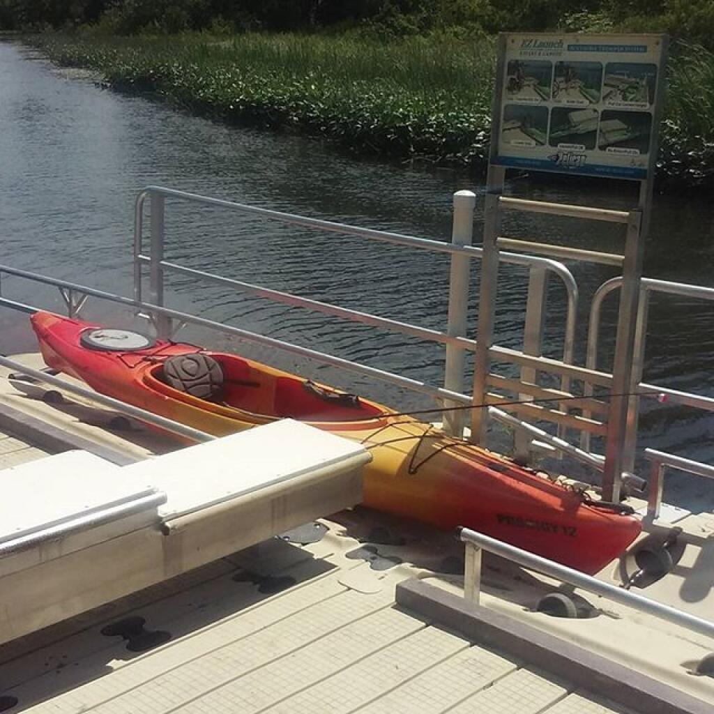
Heading out on Lamoka Lake #fishing
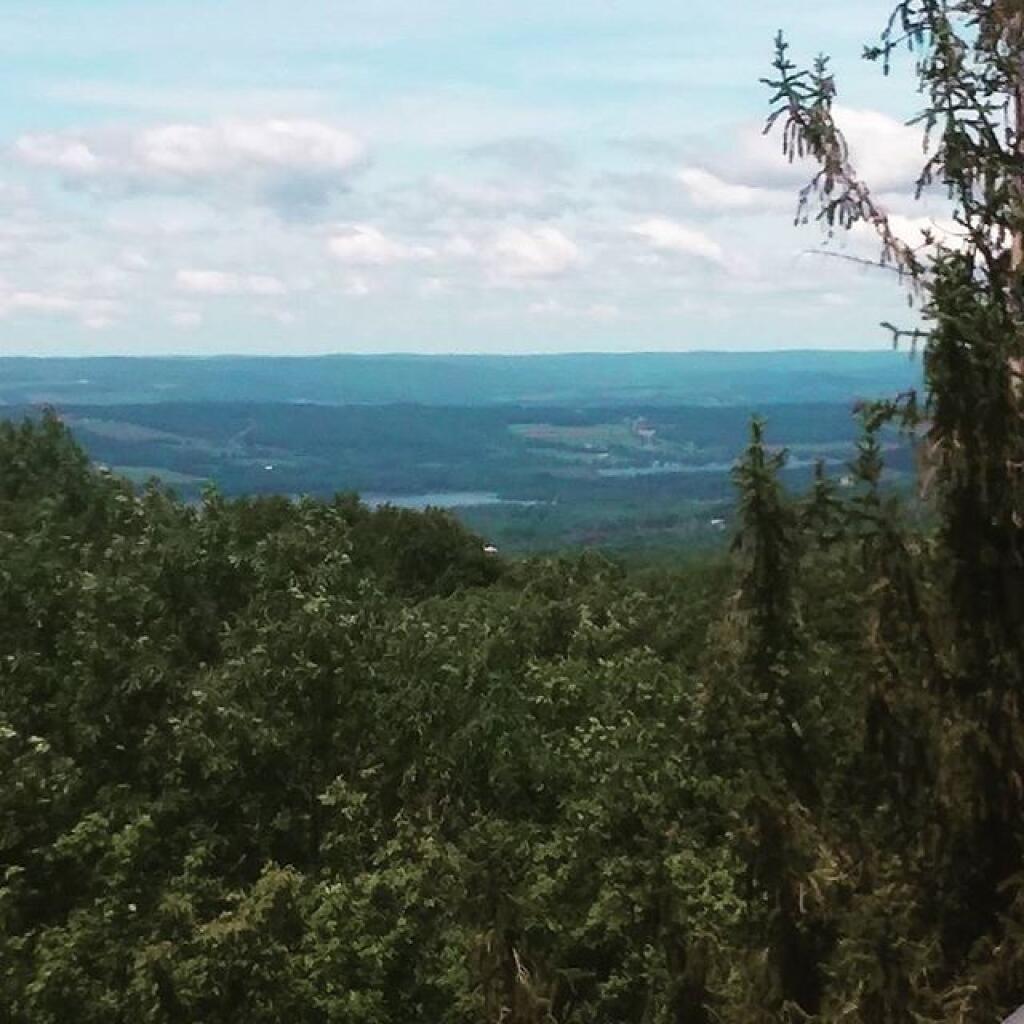
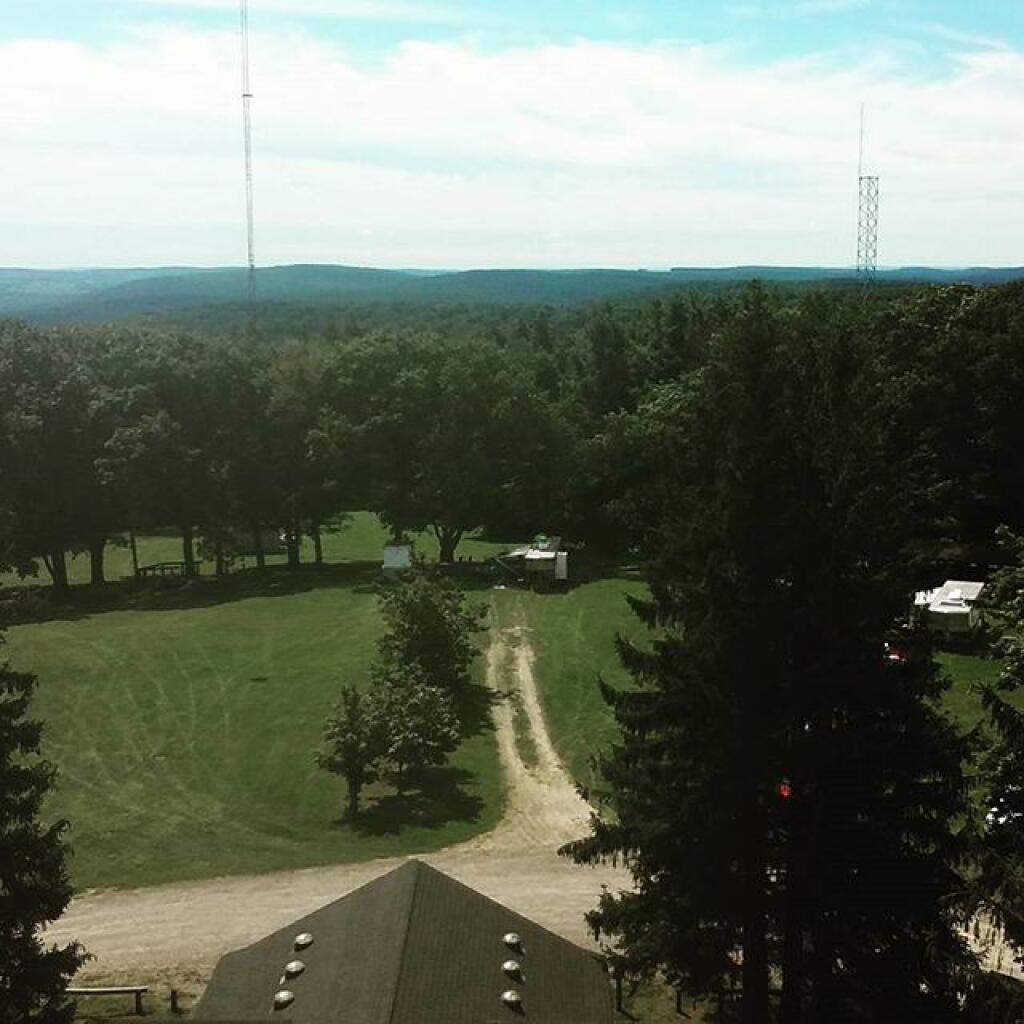
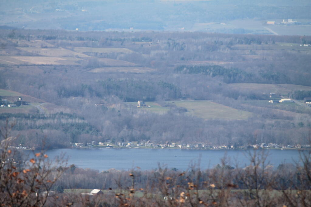
Lamoka Lake from the Tower
South
Lamoka Lake
Coon Hollow
Gorging on Gorges, An Adventure, Day 3
I woke up around 8:30 AM on Day 3 of Gorging on Gorges. It was cold and wet enough, I decided I needed a full breakfast, even if was only sprinkling out. I decided to make eggs and sausage up, with the works once again. It was a good breakfast. Originally today was supposed to be the day to go to Letchworth State Park, but because of weather, and practical need to spend more days in Finger Lakes if I really wanted to see all the gorges, I ended up staying in the Finger Lakes one more day.
Drove down Potamac Road then Pinic Area Road. I wanted to snap a few pictures of government closure signs, so I could have something for my records. Who knows how long before I will see another government shutdown. They had government shutdown signs posted on the Blueberry Hill Camping Fee Area, and the Interloken Horse Camp, but that’s about it. Most other areas were still open. I was actually more worried about the Allegheny National Forest, for the second half the week, should it still be closed.
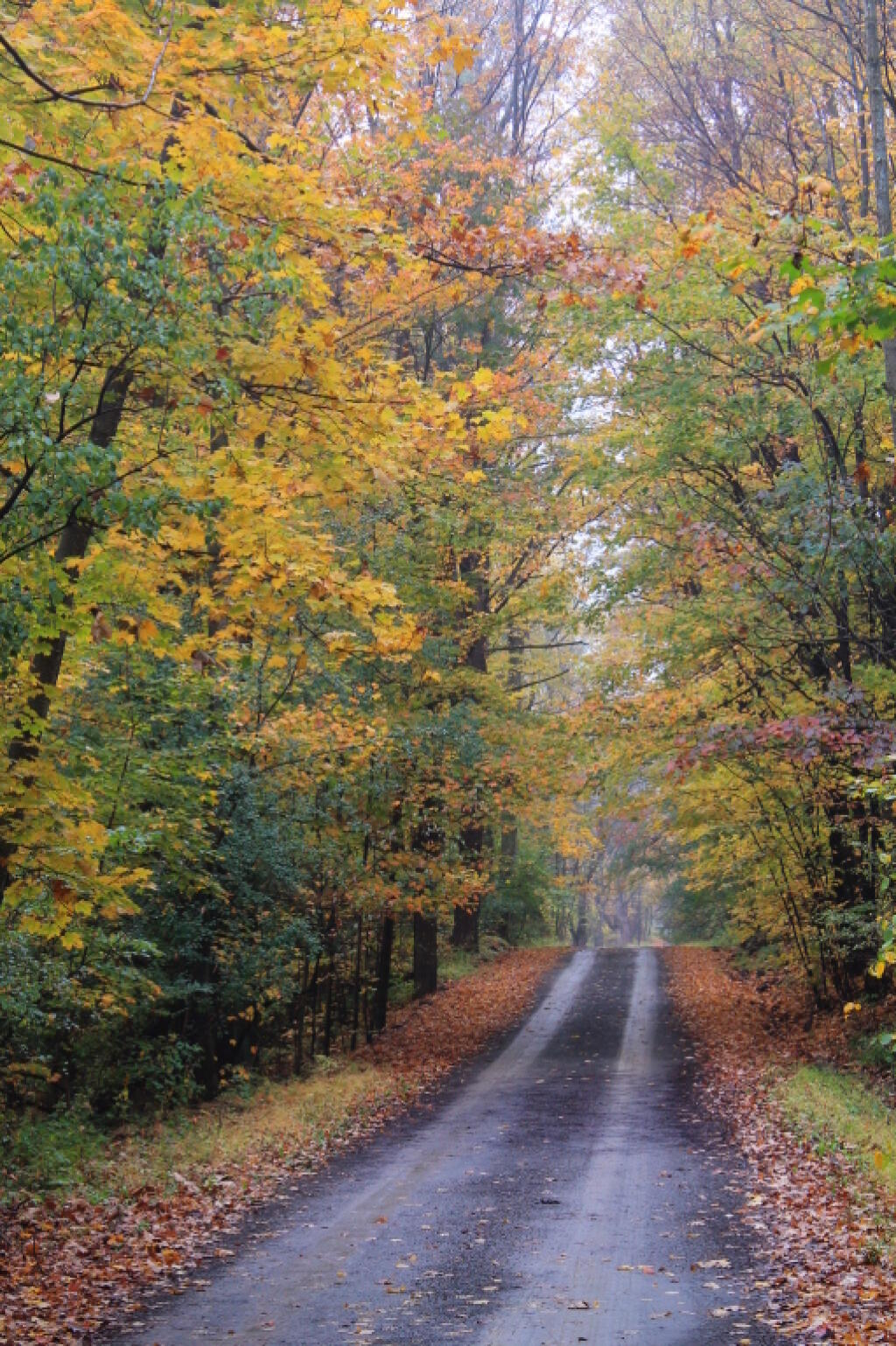
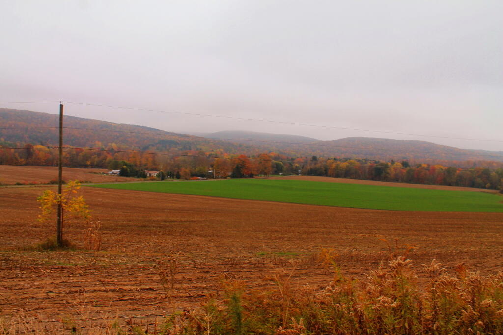
I got my picture, along with several other roads on Finger Lakes National Forest. Several were fairly colorful. Then I drove down through Texas Hollow, where there is a state forest in the a remote part of the gorge, surrounded by hunting camps and crossed by the Finger Lakes Trail. The prettiest part of Texas Hollow is actually the northern end, before you get deeper in the hollow, due to the open farm land showing the colors of the trees on the surrounding hills. I wish I could have stopped and got a picture, but the narrow road combined with the terrian, did not make it anything resembling safe.
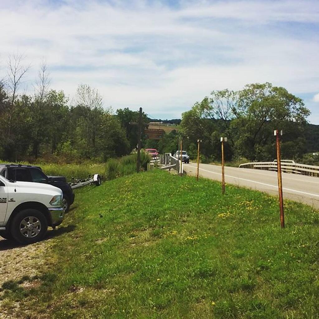
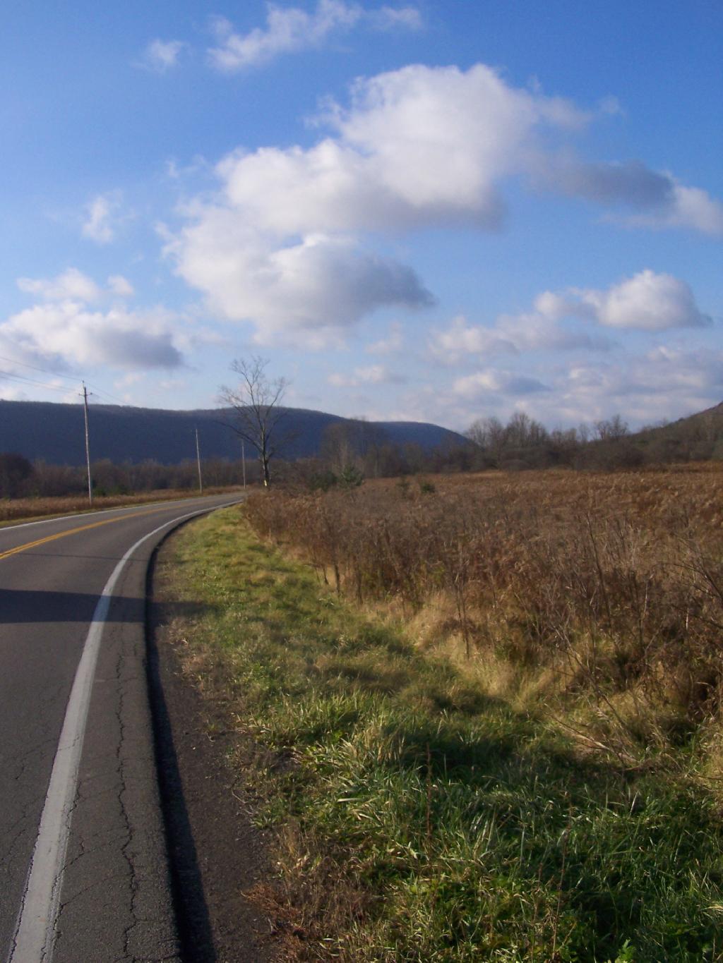
I left the hollow, and there was a dairy farm, and I was dumped into Cayuta. A bridge closure and the stupid GPS left me lost in Odessa. Next I put into the GPS to take me to Robert Treman State park, via the most direct route. I was honestly hoping to see a bit of Connecticut Hill WMA, although I ended up going past Cayuta Lake, and Cayutaville along the way. I stopped a Cayuta Lake for a bit. Driving through Alpine gave me views of Connecticut Hill and some very rural farm land, but that’s about it. I stopped for a picture, because it was kind of a pretty looking scene.
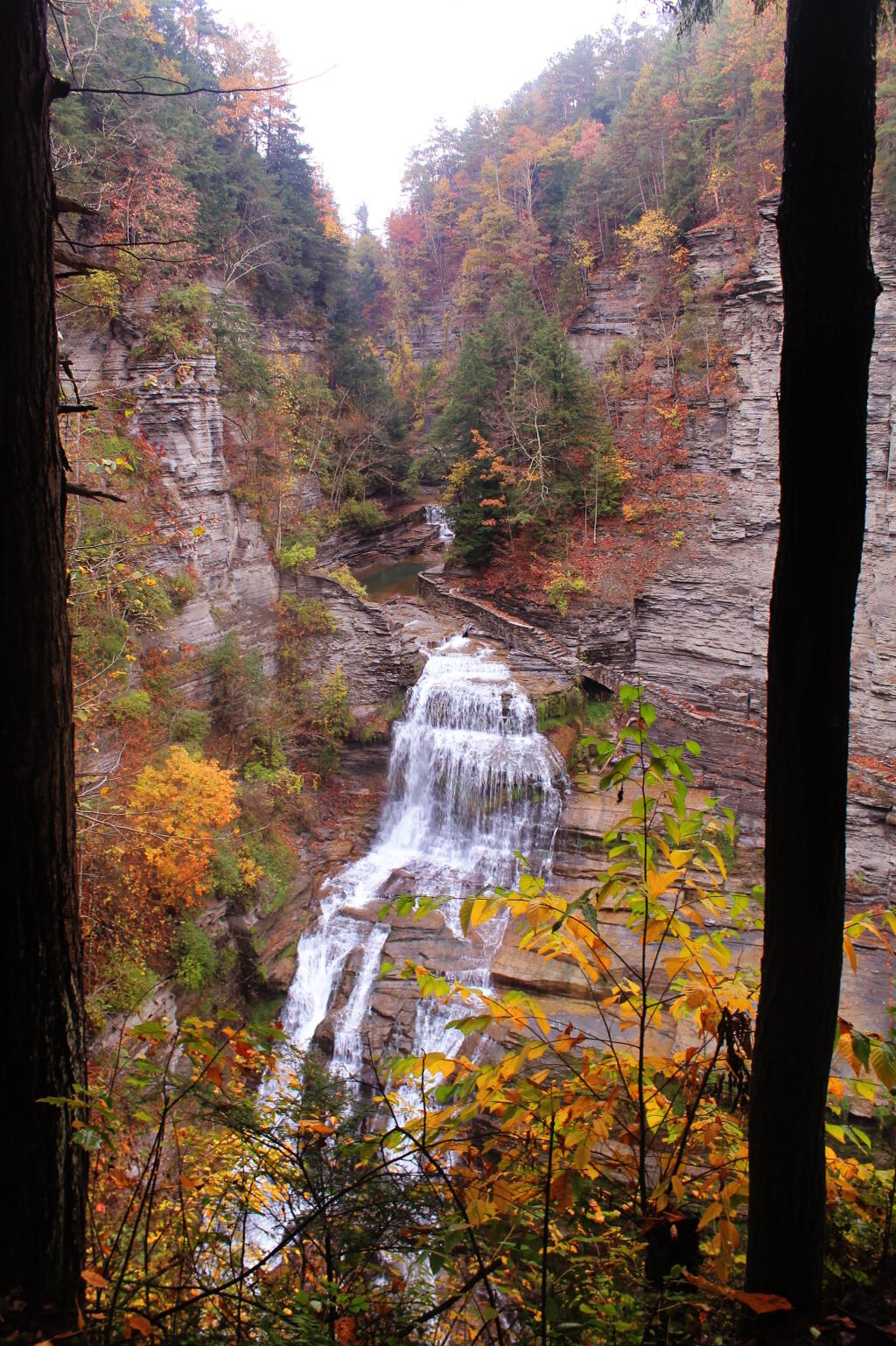
Made it Robert Treman State Park. I was disappointed to find out the gorge trail into Enfield Glen was closed due to severe weather that washed out of the gorge trail. That said, the South Rim trail was open, so I hiked down to the overlook for Lucifer Falls then partially down The Stairs. The view from The Stairs into the gorge was quite colorful, especially in light of the fog that was hanging over the area.
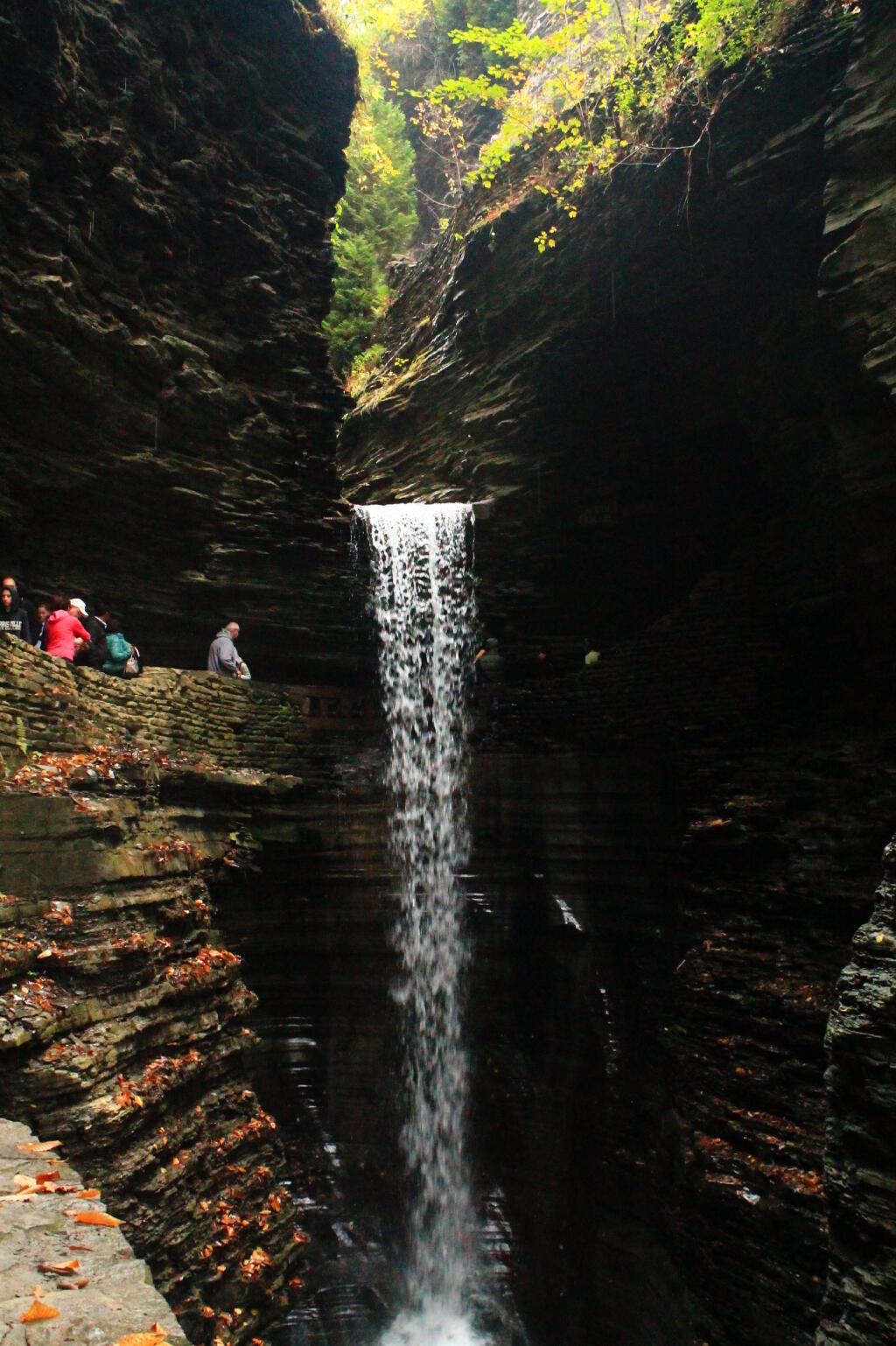
Next it was off to Watkins Glen. Part of Watkins Glen was starting to turn quite colorful, with yellows really sticking out. It was Columbus Day, so the glen was pretty packed, although once you got past the Mile Point Bridge, the crowded started to drop off. Hiked back via the North Rim Trail which is an old carriage road, with several overlooks to the gorge. It was getting late. I stopped at the P&C in Watkins Glen and picked up a few more groceries, and got more gas – I burned up a lot of it –- then headed up to Sugar Hill State Forest. I had hoped to swing past the firetower, but as I climbed out of Watkins Glen into the hills above it, I drove into a deep fog, and figured it wasn’t even worth driving that ½ mile to get up there.
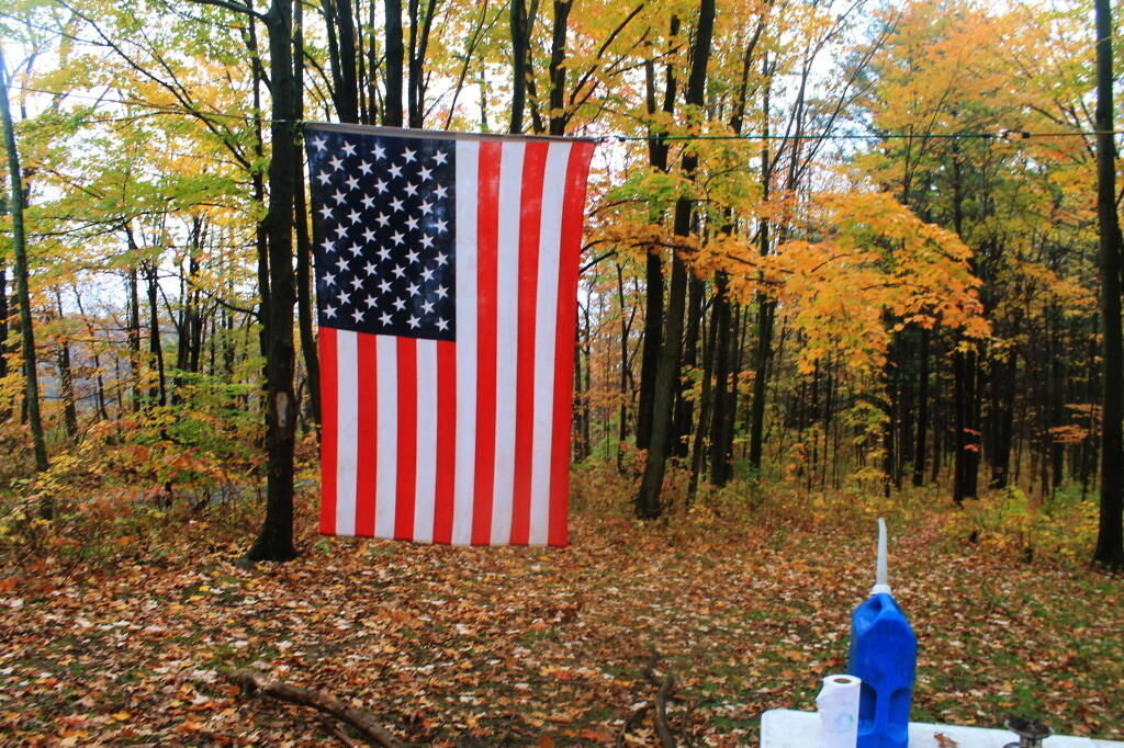
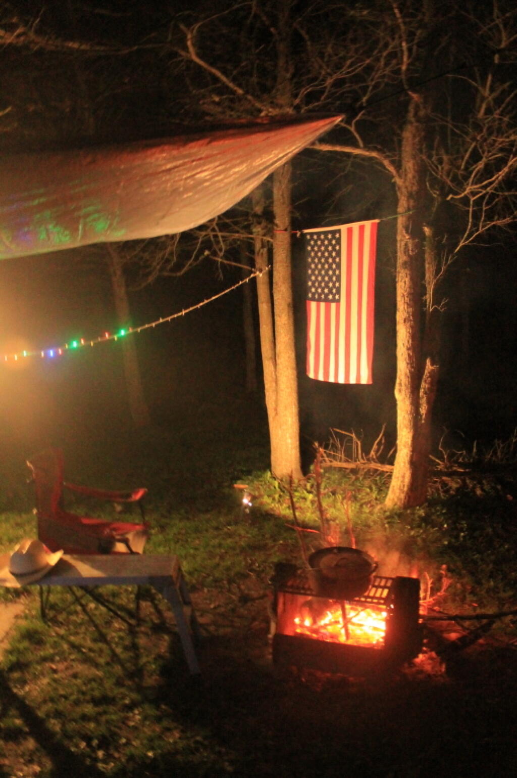
Decided to camp down at the Lower Assembly-area. Columbus Day Weekend was over, the horses and horse trailers were all gone. It did smell like horse shit, but of course it’s a state horse camp, so that’s to be expected. Hung up a tarp tonight, because I was sure it would rain, but of course it did not. Got the flag up, quickly gathered some firewood, built a few, cooked some dinner on the picnic table. Stayed up to around 10 PM, then went to bed, as I knew I had a real big day for number four.
